The best MTB trails around Woody Creek
4.9
(12)
467
riders
35
rides
Mountain biking around Woody Creek offers a diverse landscape characterized by rolling hills, river valleys, and forested sections. The area features a network of trails that wind through varied terrain, from open paths to more technical singletrack. Riders can expect a mix of ascents and descents, often following natural contours of the land. This region provides opportunities for mountain bikers to explore the natural environment on well-maintained routes.
Best mountain bike trails around Woody Creek
- The most popular mountain bike trail is Rim Trail loop, a moderate 11.3 miles (18.2 km) trail that takes 1 hour 50 minutes to complete. This route offers a balanced ride with varied terrain and scenic views.
- Another top favourite among local mountain bikers is Seven Star and Rim Trail North Loop, an easy 6.5 miles (10.4 km) path. This trail is known for its accessible gradients and pleasant forest sections.
- Local mountain bikers also love the Bush Creek Trail to Skyline Ridge Trail loop, a 9.2 miles (14.7 km) trail leading through forested hills and open ridges, often completed in about 1 hour 25 minutes.
- Mountain biking around Woody Creek is defined by river valleys, forested hills, and open ridgelines. The network offers options for different ability levels, from easy family-friendly routes to more challenging moderate trails.
- The routes in Woody Creek are highly rated by the komoot community with an average score of 4.9 stars from over 10 reviews. More than 700 mountain bikers have used komoot to explore Woody Creek's varied terrain.
Last updated: July 22, 2026
5.0
(3)
45
riders
18.2km
01:50
540m
540m
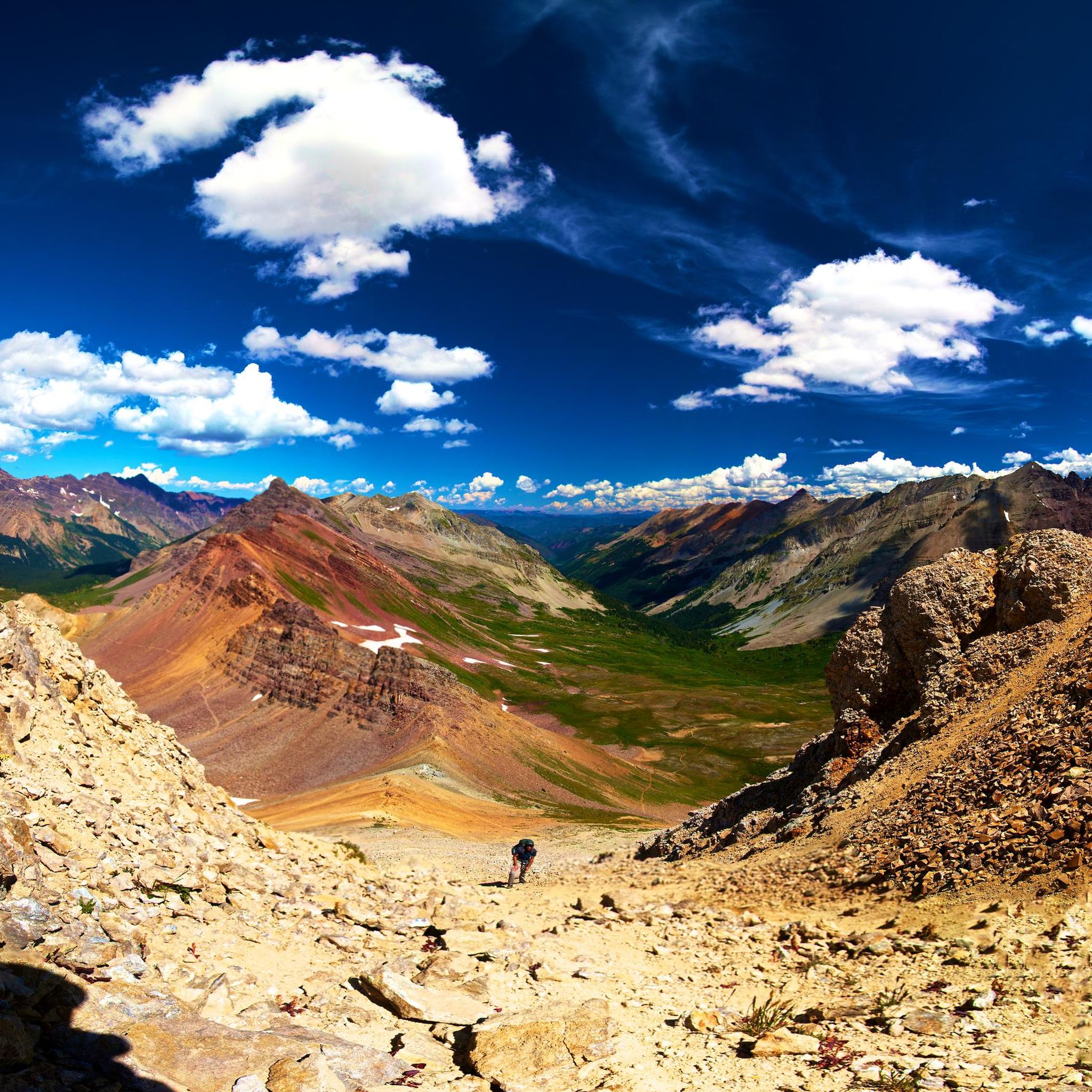
The Rim Trail loop offers a classic Colorado mountain biking experience, taking you through varied terrain that promises both a good workout and scenic rewards. As you navigate the trail, you'll encounter a mix of singletrack and wider sections, with the route's name hinting at elevated perspectives over the surrounding landscape. This ride is perfect for those who appreciate a consistent climb followed by an enjoyable descent, immersing you in the natural environment of the Snowmass Village area.
When planning your visit, aim for an early start to secure parking at the trailhead and to enjoy cooler temperatures, especially during summer months. The trail is generally accessible, but always check local conditions before heading out. Remember to bring plenty of water and be prepared for typical mountain weather changes, as conditions can shift quickly in this region.
This moderate 11.3 miles (18.2 km) loop, with its 1781 feet (543 metres) of elevation gain, is a popular choice for mountain bikers seeking a challenging yet achievable ride, typically completed in about 1 hour and 49 minutes. It's a great way to experience the local mountain biking scene, offering a taste of the region's trails without requiring an entire day. The Rim Trail loop provides a solid option for intermediate riders looking to push their limits and enjoy the views.
28
riders
10.4km
01:08
290m
290m
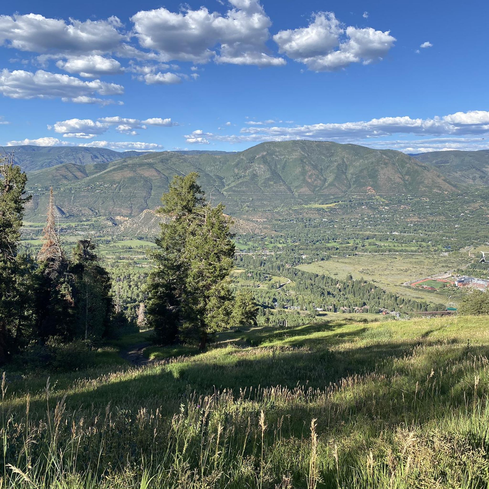
Embark on the Seven Star and Rim Trail North Loop for an easy mountain biking experience that spans 6.5 miles (10.4 km). You will gain 961 feet (293 metres) in elevation over approximately 1 hour and 8 minutes, making it a rewarding ride for its length. The trail offers diverse terrain, leading you through peaceful aspens and fragrant sage meadows. As you climb, you will be treated to panoramic views of Snowmass and Sky Mountain Park, culminating in remarkable 360-degree vistas from the high point of the North Rim Trail. This route provides a consistent sense of open space and natural beauty.
Accessing the Seven Star and Rim Trail North Loop is straightforward, with convenient parking available at Town Park, also known as the Rodeo Lot or Snowmass Recreation Center parking. Be aware of seasonal wildlife closures that affect both the North Rim Trail and Seven Star Trail. These closures typically run from December 1st to May 15th or 16th each year. During this period, specific restrictions are in place, including a ban on dogs and e-bikes on the Seven Star Trail, so plan your visit accordingly.
This mountain biking loop stands out for its blend of accessible difficulty and expansive views across the landscape. It offers a chance to immerse yourself in the natural environment of Sky Mountain Park, showcasing its varied ecosystems from open meadows to aspen groves. The route is particularly notable for providing a comprehensive tour of the park's northern sections, allowing you to appreciate the area's distinct character and the surrounding mountainous horizon.

Sign up for free
20
riders
14.7km
01:25
360m
360m
Embark on the Bush Creek Trail to Skyline Ridge Trail loop for a mountain biking experience that combines sculpted singletrack with expansive views. This moderate route spans 9.2 miles (14.7 km) and involves a climb of 1197 feet (365 metres), typically taking about 1 hour and 25 minutes to complete. As you ride along the ridge line, you will be treated to sweeping 360-degree vistas, looking out towards Aspen, Snowmass, and the majestic Elk Mountain range. Expect a mix of challenging ascents and exhilarating descents, especially on the Skyline Ridge Trail section, with vibrant wildflowers adding color to the scenery in late spring and early summer.
When planning your visit, be aware that most trails in Sky Mountain Park, including this loop, are subject to seasonal closures. These closures run from December 1st through May 15th each year, implemented to protect local wildlife. It is also important to note that motorized vehicles, including e-bikes on singletrack, are prohibited on these trails. The exposure along the Skyline Ridge Trail means you should always be prepared for potential thunderstorms, especially during warmer months.
This loop offers a unique opportunity to immerse yourself in the natural beauty of the region while enjoying a well-maintained trail system. The trail's position on a prominent ridge provides a distinct perspective of the surrounding landscape, making it a notable ride within the Sky Mountain Park area. The focus on wildlife protection through seasonal closures highlights the park's commitment to preserving its natural environment, ensuring a balanced experience for both riders and local fauna.
9
riders
14.0km
01:15
330m
330m
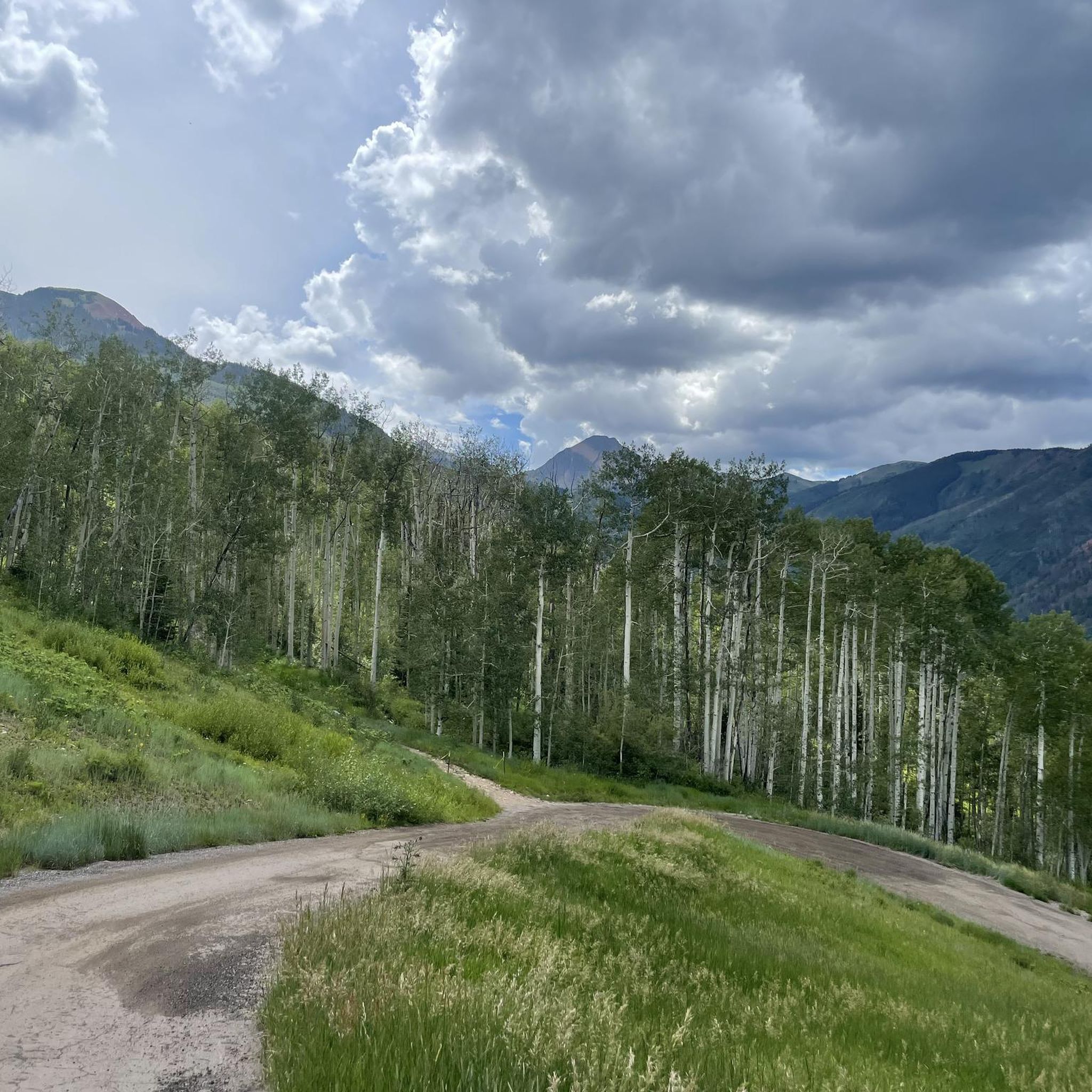
Get ready for a moderate mountain biking adventure on the Tom Blake Trail to Brush Creek Trail loop, covering 8.7 miles (14.0 km) with a total elevation gain of 1078 feet (329 metres). You can expect to complete this ride in about 1 hour and 15 minutes. The route offers a mix of terrains, from winding singletrack through lush meadows and dense aspen groves on the Tom Blake section, providing expansive views of the Snowmass Valley. As you transition to the Brush Creek Trail, the landscape opens up, following the creek with smoother paved sections. This loop truly showcases the diverse natural beauty of the area.
Before you head out, be aware of important seasonal closures that affect this loop. The Tom Blake Trail section is closed every year from April 25th to June 21st to protect elk during their calving season. Additionally, parts of the Brush Creek Trail are inaccessible during winter, specifically from December 1st through March 31st, to safeguard local wildlife. Always check local conditions and regulations before planning your visit to ensure the trails are open and accessible.
This loop stands out for its unique combination of natural dirt paths and well-maintained paved sections, offering a varied experience for mountain bikers. It effectively connects different areas of Snowmass Village, making it a practical and scenic choice for exploring the region. The trail's design allows you to experience both the secluded feel of aspen forests and the more open environment alongside Brush Creek, providing a comprehensive tour of the local landscape.
16.8km
01:17
260m
260m
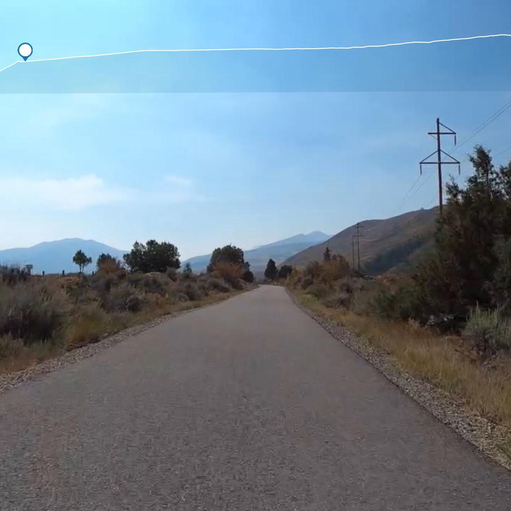
Enjoy an easy 10.5-mile mountain bike ride on the Rio Grande Trail to McLain Flats Road, offering great views of Aspen Mountain.
Get access to more routes and recommendations from other explorers.
Sign up for free
Already have an account?
Our route recommendations are based on thousands of hikes, rides, and runs completed by other people on komoot.
Start today with a free account
Your next adventure awaits.
Login or Signup
Tips from the Community

Tom Blake Trail is one a many located on Snowmass. It has an intermediate rating and is very flowy. You will wind through tons of aspen trees, have some man made structures to test your skills, and some streams you could filter some water.
0
0
North Mesa offers a host of amazing trails that dart through marshlands at the base and work their way through aspens towards the top of the mesa. Many would describe these trails as having fast flow and big views.
0
0
The Rio Grande Trail navigates along the Roaring Fork River with sections of shade, mountain views, and a host of places to stop and swim in the river.
0
0

The Rim Trail is an Aspen classic, not only because it's a super fun singletrack but also for the beautiful views along the entire trail.
1
0
Frequently Asked Questions
How many mountain bike trails are available in Woody Creek?
Woody Creek offers a wide selection of mountain bike trails, with over 35 routes available. These range from easy paths to more challenging difficult trails, catering to various skill levels.
Are there easy or family-friendly mountain bike trails in Woody Creek?
Yes, Woody Creek features several easy trails suitable for beginners and families. A great option is the Seven Star and Rim Trail North Loop, an easy 6.5-mile path known for its accessible gradients and pleasant forest sections. Another easy route is the Rio Grande Trail to McLain Flats Road.
What are some longer mountain bike routes in Woody Creek?
For a longer ride, the Rim Trail loop covers 11.3 miles (18.2 km) with varied terrain. Another substantial option is the Bush Creek Trail to Skyline Ridge Trail loop, which is 9.2 miles (14.7 km) long.
Are there any advanced mountain bike trails for experienced riders?
Yes, Woody Creek offers 17 difficult mountain bike trails for experienced riders seeking a challenge. These routes often feature more technical sections and significant elevation changes.
What do other mountain bikers enjoy most about the trails in Woody Creek?
The mountain bike trails in Woody Creek are highly rated by the komoot community, with an average score of 4.9 stars from over 10 reviews. Riders often praise the diverse landscape, which includes rolling hills, river valleys, and forested sections, as well as the well-maintained routes.
Are there mountain bike trails that form a loop in Woody Creek?
Many trails in Woody Creek are designed as loops, offering a convenient riding experience. Examples include the popular Rim Trail loop, the Seven Star and Rim Trail North Loop, and the Tom Blake Trail to Brush Creek Trail loop.
What kind of scenery can I expect on mountain bike trails around Woody Creek?
Mountain biking around Woody Creek offers diverse scenery, characterized by river valleys, forested hills, and open ridgelines. You'll find trails winding through varied terrain, providing scenic views of the natural environment.
Are there any scenic viewpoints along the mountain bike trails?
While specific viewpoints vary by trail, the region's topography with its ridgelines and river valleys often provides expansive vistas. For a notable viewpoint in the wider area, consider visiting Spiral Point.
What are some nearby attractions or points of interest to explore after a ride?
After your ride, you can explore several nearby attractions. The Rio Grande Trail itself is a popular feature, and the Marolt Open Space offers additional natural beauty. For urban exploration, the towns of Aspen and Snowmass Village are also close by.
What is the best season for mountain biking in Woody Creek?
The best season for mountain biking in Woody Creek typically spans from late spring through early autumn. During these months, the weather is generally favorable, and trails are clear of snow, offering optimal riding conditions.
Are there any specific permit requirements for mountain biking in Woody Creek?
Generally, there are no specific permits required for mountain biking on public trails in Woody Creek. However, it's always advisable to check local regulations or specific trail signage before heading out, especially if riding on private land or in designated wilderness areas.
Most popular attractions around Woody Creek

Get inspired with the komoot mobile app


Explore more
Browse the best MTB trails in other regions.
