The best road cycling routes around Valmont
4.8
(123)
9,762
riders
220
rides
Road cycling routes around Valmont, located in Boulder, Colorado, offer diverse terrain with iconic Flatirons views and challenging mountain ascents. The area is characterized by a robust road network that includes demanding climbs like Flagstaff Mountain and scenic loops around natural features. Cyclists can experience varied landscapes, from high-altitude roads to picturesque stretches along the Colorado Front Range. This region provides a wide range of options for road cyclists of all skill levels.
Best road cycling routes around Valmont
- The most popular road cycling route is Loop around the Rabbit Mountain, a 35.9 miles (57.7 km) trail that takes 2 hours 31 minutes to complete. This moderate route offers scenic views of the surrounding open space.
- Another top favourite among local road cyclists is Lyons to Ward Climb – Ward General Store loop from Cottonwood Trailhead, a difficult 62.3 miles (100.3 km) path. This route features significant elevation gain, characteristic of Boulder's challenging mountain ascents.
- Local road cyclists also love the Flagstaff Road Scenic Drive – Rapha Boulder Clubhouse loop from Valmont, a 28.4 miles (45.7 km) trail leading through challenging mountain roads, often completed in about 2 hours 46 minutes.
- Road cycling around Valmont is defined by iconic Flatirons views, challenging mountain ascents, and diverse scenic loops. The network offers options for different ability levels, from demanding climbs to picturesque, longer stretches.
- The routes in Valmont are highly rated by the komoot community with an average score of 4.8 stars from over 119 reviews. More than 10,000 road cyclists have used komoot to explore Valmont's varied terrain.
Last updated: May 25, 2026
4.7
(7)
127
riders
57.7km
02:31
480m
480m
Embark on a moderate racebike journey around Rabbit Mountain, covering 35.9 miles (57.7 km) with a total elevation gain of 1586 feet (483 metres). This route, typically completed in about 2 hours and 31 minutes, offers expansive views across the Ron Stewart Preserve. You'll cycle through grass and scrubland, experiencing minimal tree cover and abundant sunshine. The terrain provides a good challenge for cyclists with moderate fitness, showcasing the unique geological features of the area. Keep an eye out for wildlife like deer and various bird species along sections such as Lefthand Canyon, adding to the natural beauty of your ride.
Before you set out, know that the trailhead for this loop around Rabbit Mountain provides convenient amenities. You will find ample parking, restrooms, and picnic tables available for your use. The area is generally accessible throughout the year, as the trails tend to dry out quickly, even during winter months. Due to the minimal tree coverage along the route, it is highly recommended that you bring plenty of water and adequate sun protection for your ride. Plan your visit accordingly to make the most of this outdoor experience.
This route is situated at the easternmost point of the Boulder County foothills, offering stunning vistas of the surrounding landscape. The Ron Stewart Preserve at Rabbit Mountain Open Space is particularly known for its unique geological formations and diverse wildlife. As you cycle, you might spot various bird species like falcons and hawks soaring overhead. This trail provides a distinct perspective of the region's natural environment, making it a notable option for road cyclists exploring the area.
5.0
(1)
286
riders
100km
05:09
1,620m
1,620m
Hard road ride. Very good fitness required. Mostly well-paved surfaces and easy to ride.

Sign up for free
261
riders
45.7km
02:47
1,040m
1,040m
Hard road ride. Very good fitness required. Some segments of this route may be unpaved and difficult to ride.
118
riders
48.9km
02:04
220m
220m
Moderate road ride. Good fitness required. Mostly well-paved surfaces and easy to ride.
80
riders
117km
06:14
1,770m
1,770m
Hard road ride. Very good fitness required. Some segments of this route may be unpaved and difficult to ride.
Get access to more routes and recommendations from other explorers.
Sign up for free
Already have an account?
Our route recommendations are based on thousands of hikes, rides, and runs completed by other people on komoot.
Start today with a free account
Your next adventure awaits.
Login or Signup
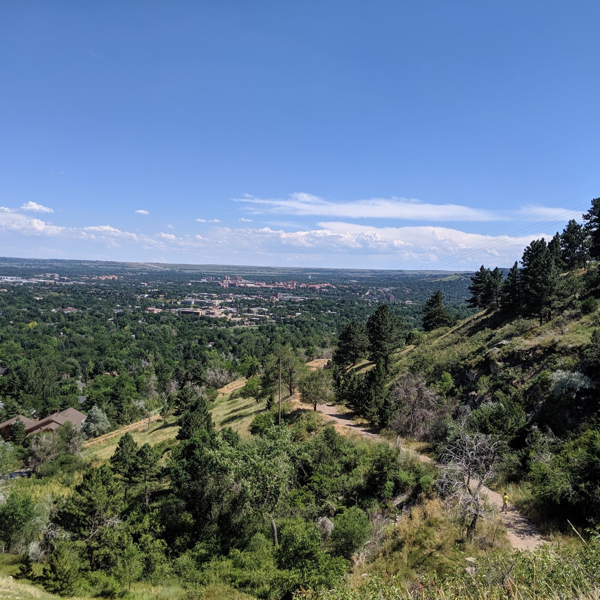

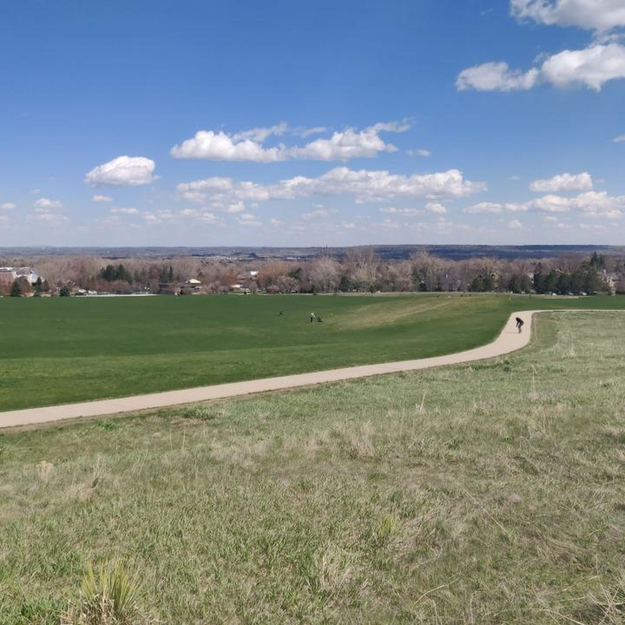
Tips from the Community

Steep. Bring your gears. Wonderful views. Ride it early during the week
0
0

The climb from Lyons to Ward in Colorado offers a long and scenic road biking ascent primarily on Left Hand Canyon Drive, taking you high into the Front Range mountains. Starting around 5,300 feet in Lyons, you'll climb approximately 21.7 miles, gaining about 4,000 to 4,100 feet to reach the town of Ward at around 9,450 feet elevation, with a gentle average gradient around 3.3-3.6% that becomes more sustained and steeper higher up in the canyon, with pitches reaching over 8%. The ride follows the St. Vrain River through a beautiful canyon surrounded by tree-covered mountains, and as you near Ward, the scenery opens up, offering views of the surrounding peaks and the unique mountain town character of Ward.
0
0

If you often shop at Publix Super Markets, you may enter a drawing to win a $1000 gift card by sharing your shopping experience on Publixsurvey.com Visit Here - https://publexsurveycom.store/
0
1

JCPenney has a constant desire to use technology to address several business-related issues. The kiosk concept is just another way that technology is being used to offer an online one-stop shop. It is unique in its sort. It gives clients useful information to boost their degree of control. https://jcpenneykiosk.store/
0
0

The Ward General Store is a welcome sight for all cyclists after the hard climbing necessary to get here! Well-known and well-loved, the Ward General Store has snacks, drinks, and bathrooms for a quick refuel before tackling either more hard climbing or fast and long descents.
0
0
Fourmile Canyon Road is a popular cycling spot that connects Boulder Canyon all the way up to the "ghost town" of Gold Hill via Gold Run Road, Gold Hill Road, and the Peak to Peak Highway. This particular section of Fourmile is from Boulder Canyon to Poorman Hill Road, another popular gravel road that connects to Sunshine Canyon.
0
0
The road up Flagstaff from Chautauqua to Chapman Drive, where you can continue to Artists Point overlooking Boulder, is an iconic Boulder climb. This fun, twisting road (whether you ride up or down) grants you great views over the city as you pass by large sandstone boulders and cliffs, stands of pine trees, and several viewpoints. Watch out for cars on both the ascent and descent, this is a very popular drive for tourists and locals alike and there are several well-trafficked hiking trails off of the road.
1
1
The Boulder Creek Path is a popular multi-use path that connects to many other bike trails and major roads in Boulder, allowing users to traverse across Boulder and largely avoid cars. This section of the Boulder Creek Path runs from 28th Street to Foothills Parkway next to a creek.
1
0
Frequently Asked Questions
How many road cycling routes are available around Valmont, Boulder?
There are over 220 road cycling routes around Valmont in Boulder, Colorado, catering to various skill levels. This includes approximately 58 easy routes, 135 moderate routes, and 36 challenging routes.
What kind of terrain can I expect when road cycling near Valmont, Boulder?
Road cycling around Valmont offers diverse terrain, from challenging mountain ascents like Flagstaff Mountain to scenic loops with iconic Flatirons views. You'll find a robust road network with options for demanding climbs, long picturesque stretches, and routes along the Colorado Front Range.
Are there any family-friendly road cycling options in the Valmont area?
Yes, Boulder offers several family-friendly road cycling options. The Boulder Reservoir loop provides easy cycling with views of the Flatirons, foothills, and Haystack Mountain. The Boulder Creek Path is another excellent car-free option, extending east and west and up Boulder Canyon, perfect for a relaxed ride.
What are some popular viewpoints or natural features to see while road cycling?
Many routes offer stunning views of the iconic Flatirons. You can also encounter natural features like Mount Sanitas, Royal Arch, and the Red Rocks Trail Rock Formations. Routes like the Loop around the Rabbit Mountain offer scenic views of open spaces.
What is the best time of year to go road cycling in Valmont, Boulder?
Boulder's favorable weather, with over 300 days of sunshine annually, makes it a year-round cycling paradise. Spring and fall offer pleasant temperatures, while summer is ideal for high-altitude rides. Even winter can be suitable for cycling on clear days.
Are there any challenging road cycling routes for experienced riders?
Absolutely. Boulder is known for its demanding climbs. Routes like the Lyons to Ward Climb – Ward General Store loop from Cottonwood Trailhead and the Flagstaff Road Scenic Drive – Rapha Boulder Clubhouse loop from Valmont feature significant elevation gain and steep, winding roads, offering memorable experiences and panoramic views.
What do other road cyclists say about the routes around Valmont?
The road cycling routes around Valmont are highly rated by the komoot community, with an average score of 4.8 stars from over 119 reviews. Cyclists often praise the iconic Flatirons views, challenging mountain ascents, and the diverse network of scenic loops available.
Are there any loop routes for road cycling in the area?
Yes, there are many excellent loop routes. A popular moderate option is the Loop around the Rabbit Mountain. For a more challenging experience, consider the Ward General Store – Rapha Boulder Clubhouse loop from Cottonwood Trailhead, which covers over 116 km.
Where can I find parking for road cycling routes near Valmont?
Parking is generally available at various trailheads and public access points throughout Boulder, including near Valmont Bike Park. Many routes, such as those starting from Cottonwood Trailhead, offer convenient parking options.
Are there any specific attractions or landmarks along the road cycling routes?
Beyond the natural beauty, you can find interesting points like the Cottonwood Trail and the challenging Lee Hill Drive Climb. The Davidson Mesa Overlook also provides a great stopping point with views.
What is a good moderate road cycling route to try first?
A great moderate route to start with is the Cottonwood Trail – Coot Lake Dock loop from Valmont. This route is approximately 57 km long and offers a balanced ride with scenic views without the extreme elevation of the mountain climbs.
Most popular attractions around Valmont

Get inspired with the komoot mobile app


Explore more
Browse the best Road cycling routes in other regions.
