The best walks and hikes around Université de Californie à Davis
4.8
(4)
130
hikers
19
hikes
Hiking around Université de Californie à Davis is characterized by its location within the flat expanse of the Central Valley, offering a mix of riparian ecosystems and cultivated landscapes. While the immediate campus area features gentle walking paths, nearby natural reserves provide access to more varied terrain. These areas include preserved native wilderness along creeks and rolling hills with significant elevation changes a short drive away.
Best hiking trails around Université de Californie à Davis
- The most popular hiking route…
Last updated: May 12, 2026
4.5
(2)
53
hikers
7.14km
01:49
20m
20m
Easy hike. Great for any fitness level. Easily-accessible paths. Suitable for all skill levels.
5.0
(1)
2
hikers
5.59km
01:25
10m
10m
Easy hike. Great for any fitness level. Easily-accessible paths. Suitable for all skill levels.

Sign up for free
2
hikers
4.36km
01:06
0m
0m
Easy hike. Great for any fitness level. Easily-accessible paths. Suitable for all skill levels.
5
hikers
9.40km
02:22
10m
10m
Moderate hike. Good fitness required. Easily-accessible paths. Suitable for all skill levels.
17
hikers
4.15km
01:03
10m
10m
Easy hike. Great for any fitness level. Easily-accessible paths. Suitable for all skill levels.
Get access to more routes and recommendations from other explorers.
Sign up for free
Already have an account?
Our route recommendations are based on thousands of hikes, rides, and runs completed by other people on komoot.
Start today with a free account
Your next adventure awaits.
Login or Signup
Popular around Université de Californie à Davis
Tips from the Community

A small farm lake along the trail that can be a nice place to stop and watch the bird life.
0
0

The Putah Creek Trail is a lovely, flat loop along the north side of Putah Creek, where you can immerse yourself in nature surrounded by Valley Oaks, wild California Grape, California Wild Rose, and Fremont Cottonwood trees. The public access area is only on the north side of the creek between Pedrick Road and Old Davis Road; the rest is private property or not open to the public, so be mindful of the boundaries. In the winter, the path might get a bit flooded; however, you can still enjoy a stroll by walking along the levee to Old Davis Road.
1
0
Putah Creek, also known as Liwaito in the Patwin language, spans 85 miles and is a tributary of the Yolo Bypass and, ultimately, the Sacramento River. It originates in the Mayacamas Mountains and flows east through two dams, forming the border of Yolo and Solano Counties. It is home to native steelhead trout and Chinook salmon and serves as a vital water source for farming in the area.
0
0
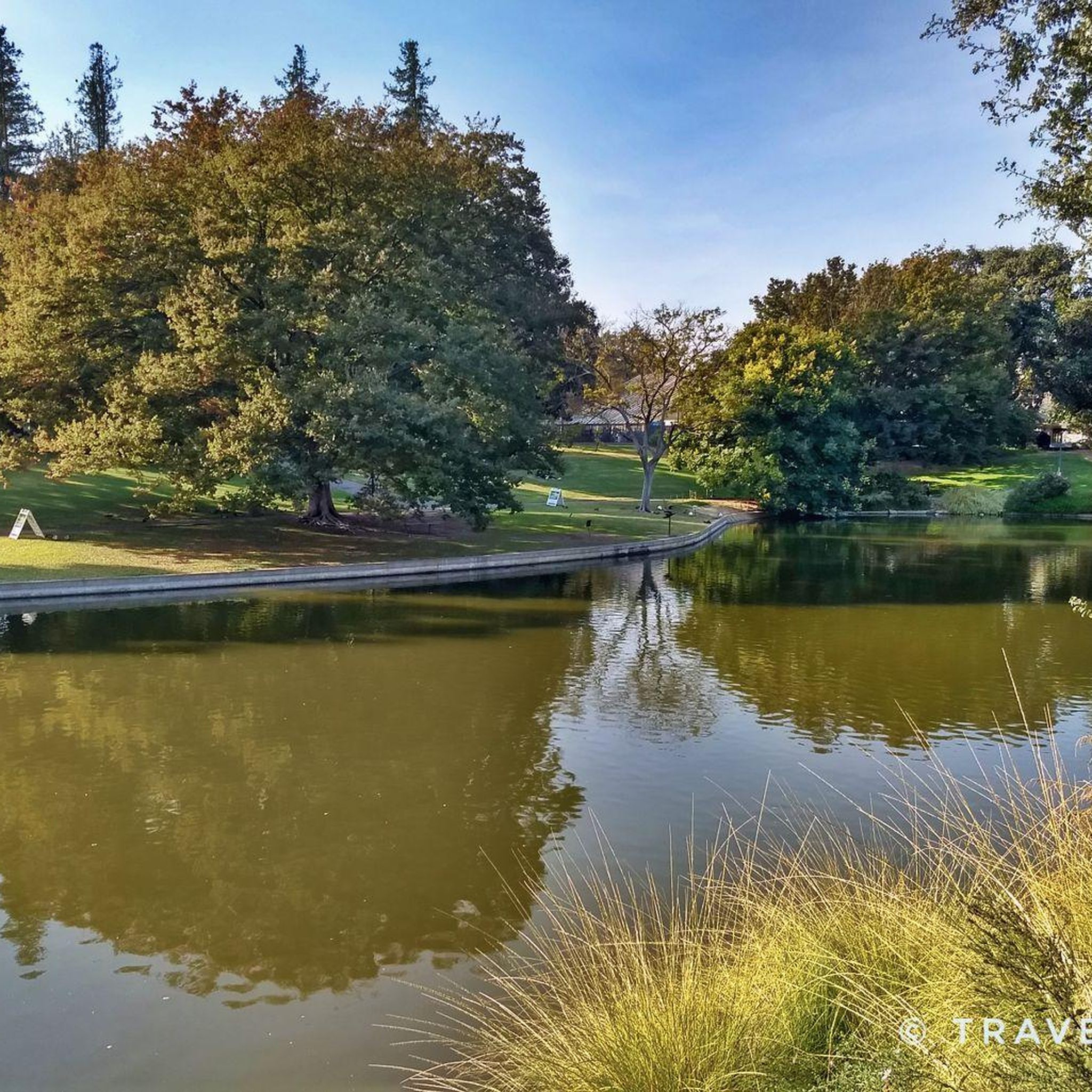
Lake Spafford is a segment of the original channel of Putah Creek, with a trail system that goes around the lake. It’s an artificial lake created as the result of dredging back in the 1870s when the city was still being developed.
0
0

Midsize lake along a former stream in Davis Arboretum. The waterway, built in 1968-69, occupies what used to be the north fork of Putah Creek, which brought floodwater to the town then known as Davisville. A dredging effort in the late 19th century diverted most of the flow to a channel known as the south fork of Putah Creek. In 1948, the U.S. Army Corps of Engineers built levees at the north fork's mouth (the west end); the levees completely eliminate flow in the north fork. Whereas the original north fork flowed east, the waterway flows west. This is the result of dredging and grading over the years. When the waterway fills up with storm runoff, excess water goes through a weir and into a holding pond and from there is pumped into a pipe that carries the water to the south fork of Putah Creek. The waterway is about 1½ miles long, about 2 to 5 feet deep, along the south edge of UC Davis' central campus. A wide portion of the waterway just east of Mrak Hall is called Lake Spafford, named after F. Edwin Spafford, an alumnus who went on to be come a longtime UC Davis administrator, holding such positions as assistant to the provost; executive assistant and special assistant to the chancellor; and vice chancellor for physical construction and maintenance. The waterway runs from near the south end of D Street in downtown Davis to the UC Davis Equestrian Center. The university classifies the remnant north fork channel as a recreation and aesthetic amenity, and a biological resource. The waterway runs through the arboretum, established in 1936 and considered today to be the university's landscape centerpiece. Pedestrian and bicycle paths line the waterway's banks. The waterway also serves as a storm water detention pond. Poor water quality conditions have persisted since the arboretum waterway was first created more than 50 years ago. In large measure, the problems of today stem from the original design. The arboretum waterway is a stagnant pond designed to look like a flowing creek. https://www.ucdavis.edu/news/arboretum-waterway
0
0
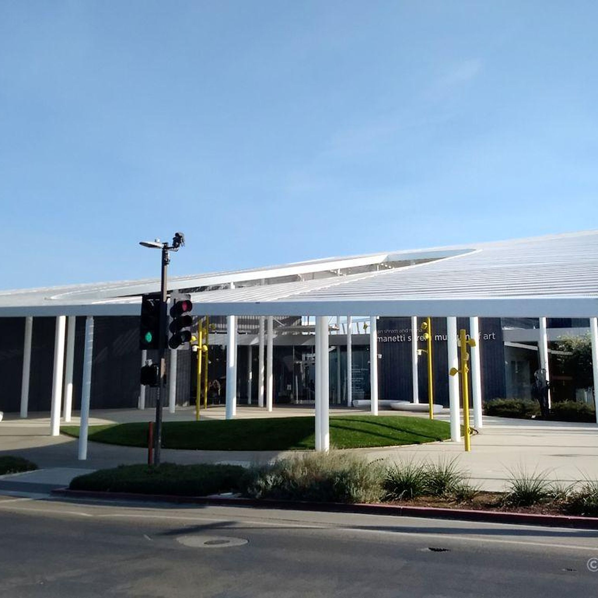
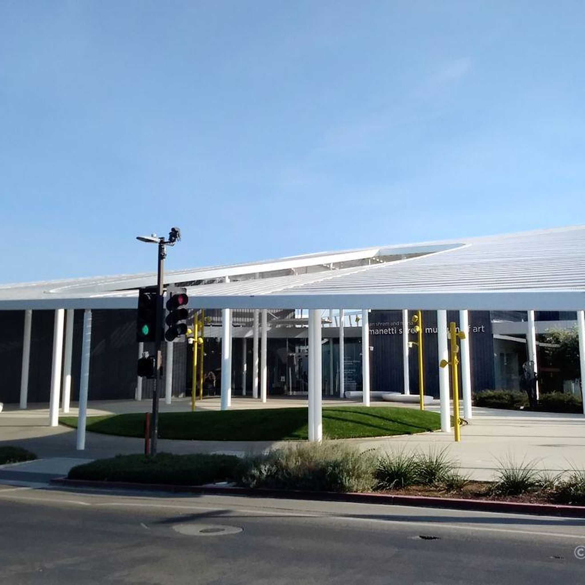
Performing arts center of the University of California Davis
0
0
Frequently Asked Questions
How many hiking trails are available around Université de Californie à Davis?
There are over 18 hiking routes available around Université de Californie à Davis, catering to various preferences. The majority, 16, are considered easy, while 2 are moderate, offering a good range for different skill levels.
What kind of terrain can I expect when hiking near UC Davis?
While the immediate UC Davis campus area is characterized by the flat expanse of the Central Valley, offering gentle walking paths, nearby natural reserves provide more varied terrain. You can find preserved native wilderness along creeks, such as the Putah Creek Trail, and rolling hills with significant elevation changes a short drive away in areas like Stebbins Cold Canyon Reserve.
What do other hikers say about the trails around Université de Californie à Davis?
The trails around Université de Californie à Davis are highly rated by the komoot community, with an average score of 4.6 stars from over 5 reviews. More than 160 hikers have used komoot to explore the varied terrain, often praising the accessible nature experiences close to the campus.
Are there any challenging hikes with significant elevation changes near UC Davis?
Yes, for those seeking more challenging terrain, the Stebbins Cold Canyon Reserve, a short drive west of Davis, offers rugged trails winding through steep inland canyons and hillsides. Hikers can experience significant elevation changes and are rewarded with breathtaking views of Lake Berryessa and the surrounding Mayacamas mountains from the ridgeline on the Blue Ridge trail.
Where can I find trails for wildlife spotting near UC Davis?
Several areas are excellent for wildlife spotting. The Putah Creek Riparian Reserve, for instance, is a preserved native wilderness where you might spot river otters, foxes, and California kingsnakes. The Yolo Bypass Wildlife Area is also ideal for birdwatching, especially for migratory birds, due to its vast wetlands.
Are there any trails that offer views of Lake Berryessa?
Yes, the Stebbins Cold Canyon Reserve, located a short drive west of Davis, features trails that lead to ridge-tops offering breathtaking views of Lake Berryessa and the surrounding Mayacamas mountains. It's a rewarding destination for scenic vistas.
What are the best options for a relaxing nature walk directly on or near the UC Davis campus?
For relaxing nature walks, the UC Davis Arboretum and Public Garden on campus offers over 100 acres of gardens, walking paths, and natural areas, including paved trails around a pond. Additionally, the Lake Spafford loop from Davis provides a gentle stroll through similar natural areas.
Are there family-friendly hiking options around UC Davis?
Absolutely. Many of the trails are easy and suitable for families. The UC Davis Arboretum offers relaxing strolls, and the Lake Spafford – Lake Spafford loop from UC Davis Health Stadium is an easy 3.7-mile path perfect for a family outing, featuring diverse plant collections and natural areas.
Are there any dog-friendly trails in the UC Davis area?
While specific regulations can vary, many natural areas around Davis, such as parts of the Putah Creek Riparian Reserve and Cache Creek Regional Park, generally allow dogs on leash. It's always recommended to check specific park rules before heading out to ensure a pleasant experience for you and your pet.
What interesting landmarks or natural features can I see along the hiking trails?
Along the trails, you can encounter several interesting features. Lake Spafford is a prominent natural feature, and the Putah Creek Trail itself is considered a highlight. You might also come across the Stevenson Bridge, offering scenic views over the creek.
Are there any loop hikes available near UC Davis?
Yes, loop hikes are a popular option. The Lake Spafford – Lake Spafford loop from UC Davis Health Stadium is an easy 3.7-mile path, and the North Davis Farm Lake loop from Central Davis is another easy 6.6 km option, both providing convenient circular routes.
What is the best time of year to hike around UC Davis?
The best time to hike around UC Davis is generally during the cooler months, from late fall through spring. Summers in the Central Valley can be very hot, making early mornings or late evenings the only comfortable times for hiking. Spring offers beautiful wildflowers, while fall provides pleasant temperatures.
Are there any trails suitable for birdwatching near UC Davis?
The Yolo Bypass Wildlife Area, located east of Davis, is a vast 16,600-acre stretch of wetlands renowned for its incredible biodiversity, especially migratory birds. It offers flat terrain ideal for birdwatching. Cache Creek Regional Park is also an excellent spot for birdwatching and wildlife spotting.
Most popular routes around Université de Californie à Davis
Most popular attractions around Université de Californie à Davis

Get inspired with the komoot mobile app


Explore more
Browse the best Hikes in other regions.
