Tamalpais-Homestead Valley
Tamalpais-Homestead Valley
The 16 Most Amazing Peaks around Tamalpais-Homestead Valley
Best mountain peaks around Tamalpais-Homestead Valley are dominated by Mount Tamalpais, a prominent landmark in Marin County, California. This area features several distinct peaks, including East Peak, West Peak, and Middle Peak, offering diverse experiences. The region is part of a larger state park system with over 60 miles of trails, connecting to a 200-mile network. Visitors can explore varied landscapes, from redwood forests to chaparral, providing numerous opportunities for outdoor activity.
Best mountain peaks around Tamalpais-Homestead Valley
- The most…
Last updated: October 10, 2026
Mount Tamalpais — East Peak
Highlight • Summit
Tip by

Horse Hill Bike Path
Highlight (Segment) • Cycleway
Tip by
Sign up now to discover places like this
Get recommendations on the best single tracks, peaks, & plenty of other exciting outdoor places.
Mount Tamalpais East Peak and Visitors Center
Highlight • Summit
Tip by

Mount Tamalpais State Park
Highlight • Forest
Tip by

Cardiac Hill (Dipsea Trail, Mount Tamalpais State Park)
Highlight • Summit
Tip by
Sign up for free to discover even more peaks around Tamalpais-Homestead Valley.
Already have an account?
Start today with a free account
Your next adventure awaits.
Popular around Tamalpais-Homestead Valley

Tips from the Community

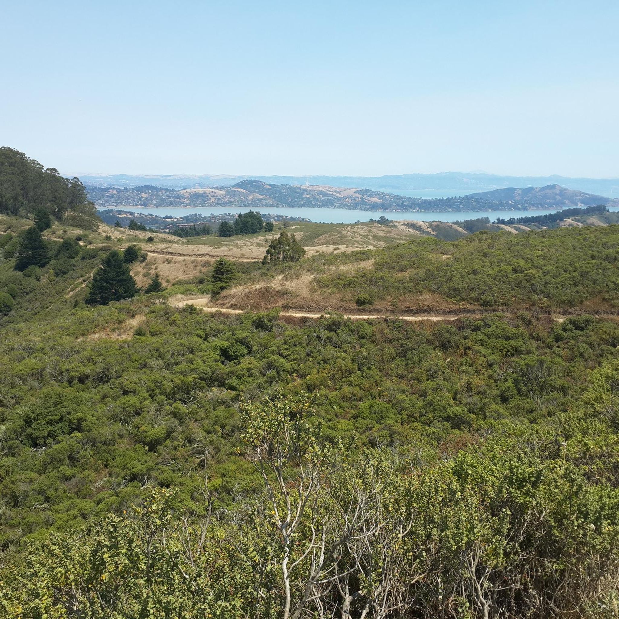
Mount Tam East Peak offers some of the most majestic views north of the bay. From this vantage point, you can see all of Marin, along with Point Reyes to the north and Oakland and San Francisco to the south. The stunning panoramic vistas make the journey well worth the effort. There are restrooms and picnic tables, ideal for a snack or lunch while you capture some incredible photos.
0
0

One of the best views in the entire Bay Area. No question.
0
0
Often busy on weekends, this is a great spot to take moment before/after summiting Mt Tam. There are spigots to fill up water and bathrooms that are open during park hours. The parking lot is very close for those that drive up. There is access to MANY trails for those on foot/bike.
0
0
Mount Tam East Peak offers some of the most majestic views north of the bay. From this vantage point, you can see all of Marin, along with Point Reyes to the north and Oakland and San Francisco to the south. The stunning panoramic vistas make the journey well worth the effort. There are restrooms and picnic tables, ideal for a snack or lunch while you capture some incredible photos.
1
0

Great lookout with a usually closed summit hut at 2571 feet (784 m) elevation. Outstanding views of the Bay, Marin County, San Francisco, and the Pacific Ocean.
0
0
Mount Tamalpais State Park is a majestic area in the heart of Marin County, with sweeping hillsides covered in fantastic redwood forest, open grasslands, sturdy chaparral, and wooded oaklands. The views from Mount Tampais boast breathtaking vistas of the Pacific Ocean, San Francisco Bay and City, the Marin County Hills, Mount Diablo, and the East Bay. You can even see the Farallon Islands, 25 miles out to sea. If you're lucky, you can catch an occasional glimpse of the snow-capped Sierra Nevada Mountain Range, nearly 150 miles away. The Park is a haven for cyclists, hikers, wildlife watchers, or those who wish to find a beautiful spot for an afternoon picnic.
0
0

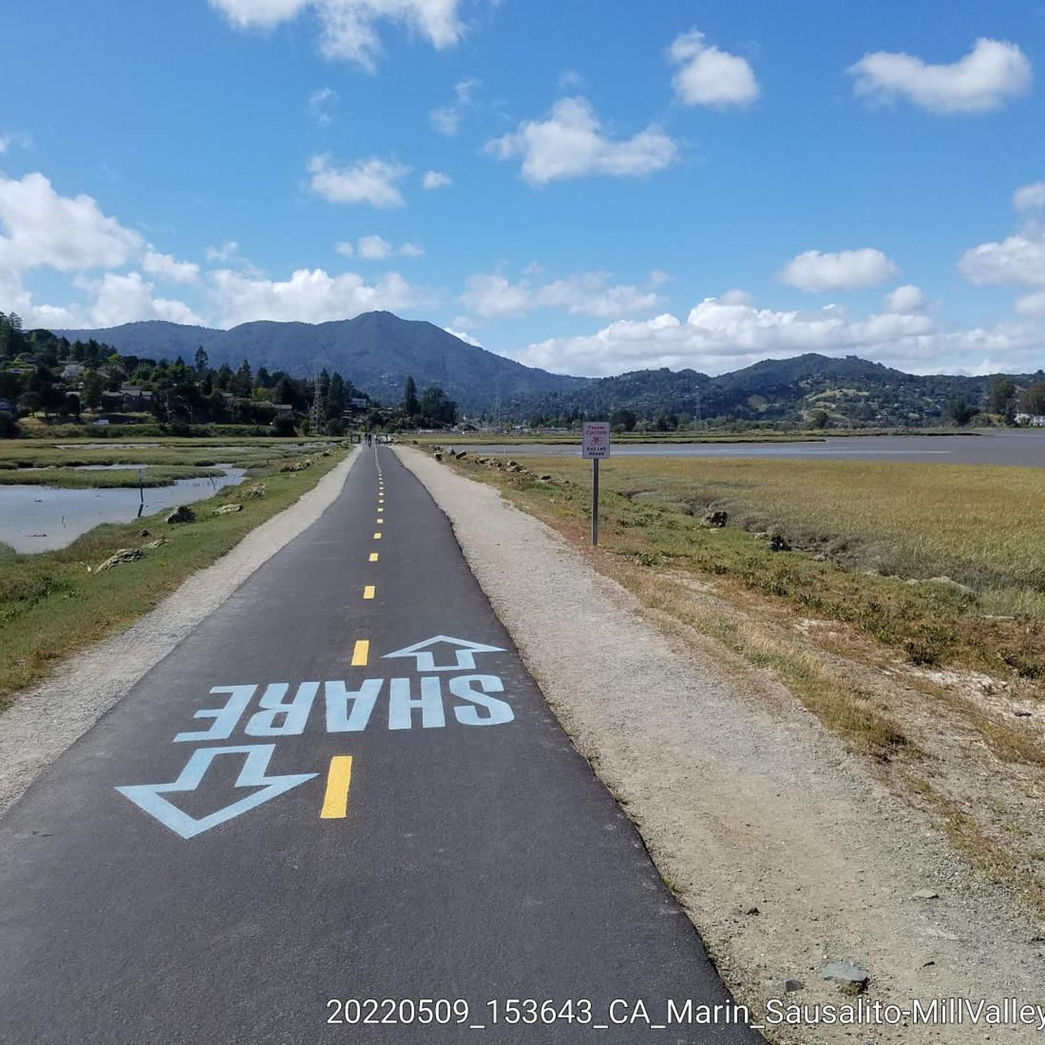
There are, indeed, horses on this hill. Connector path between Mill Valley and Corte Madera, easier than Camino alto. The alto tunnel is still closed, learn more here: https://openaltotunnel.org/
0
0
At the top of the long parking areas is the short trail to the summit as well as restrooms and drinking water fountains.
0
0
Frequently Asked Questions
What are some of the most scenic viewpoints in the Tamalpais-Homestead Valley area?
For panoramic views, Mount Tamalpais Summits, particularly East Peak, offers breathtaking 360-degree vistas of San Francisco, the Farallon Islands, and the entire Bay Area. Another excellent spot is Mount Caroline Livermore summit, which provides sweeping bay and San Francisco skyline views.
Are there family-friendly mountain peaks or trails suitable for all fitness levels?
Yes, Mount Tamalpais East Peak is very accessible. The Verna Dunshee Trail, a paved half-mile loop around the summit, offers continuous spectacular bay views with minimal effort and is suitable for all fitness levels, including those with wheelchairs and families with children. You can also find easy hikes in the region, such as those listed in the Easy hikes around Tamalpais-Homestead Valley guide.
Does Mount Tamalpais have any historical significance?
Yes, Mount Tamalpais holds significant history. The West Peak, while now slightly lower due to radar dome construction, housed the Mill Valley Air Force Station during the Cold War. Near East Peak, the Gravity Car Barn Museum showcases the history of the 'Crookedest Railroad in the World,' which once transported visitors to the summit. The Gardner Fire Lookout on East Peak, built in the 1930s, is also a historic structure.
What are some popular hiking trails on Mount Tamalpais?
The region offers a wide range of trails. The Cardiac Hill (Dipsea Trail, Mount Tamalpais State Park) is a well-known section of the Dipsea Trail, featuring a steep initial ascent followed by a more gradual path through a lush forest. For a more rugged experience, the Mountain Top Trail leads to Table Hill on West Peak, offering views alongside historical remnants.
When is the best time of year to visit the mountain peaks around Tamalpais-Homestead Valley?
The Tamalpais-Homestead Valley area is beautiful year-round. Spring brings vibrant wildflowers to the slopes of Mount Tamalpais. Clear days, especially after rain, offer the best panoramic views from the peaks. Summers are generally mild, while winters can bring cooler temperatures and occasional rain, but also crisp, clear air.
What other outdoor activities can I do near the mountain peaks?
Beyond hiking, the Mount Tamalpais State Park and surrounding areas offer extensive opportunities for cycling and gravel biking. You can explore routes like the Marin Coastal Bike Route or the Pantoll Road loop. For more options, check out the Cycling around Tamalpais-Homestead Valley guide or the Gravel biking around Tamalpais-Homestead Valley guide.
What natural features can I expect to see on Mount Tamalpais?
Mount Tamalpais State Park encompasses diverse landscapes, including redwood forests, chaparral, and oak-covered knolls. From the peaks, you can observe the Pacific Ocean, San Francisco Bay, and distant mountain ranges. The area is also known for its diverse plant life, with wildflowers blooming in spring.
Where can I find parking for Mount Tamalpais trails?
Parking is available at various points, with a prominent parking lot near the East Peak summit of Mount Tamalpais. This provides convenient access to the Verna Dunshee Trail and the visitor center. Other trailheads throughout the state park also offer parking options.
What makes Mount Caroline Livermore summit unique?
Mount Caroline Livermore summit, at 791 feet (241 m), is named after American conservationist Caroline Sealy Livermore, whose efforts were instrumental in creating protected areas in Marin County, including the protection of Angel Island. It offers rewarding views of the bay and San Francisco skyline.
Are there any less crowded peaks for a quieter experience?
Yes, West Peak of Mount Tamalpais offers a more rugged and less-traversed experience compared to the popular East Peak. It has fewer visitor amenities and a less developed trail system, appealing to hikers seeking solitude and a closer connection to nature.
What is Bare Knoll known for?
Bare Knoll is a relatively small peak that provides excellent views stretching from Stinson Beach into the Gulf of the Farallones, offering a unique coastal perspective of the region.
Can I find trails suitable for intermediate hikers?
Many trails around the Tamalpais-Homestead Valley area are suitable for intermediate hikers. Highlights like Mount Tamalpais Summits and Mount Caroline Livermore summit are rated as intermediate, offering a good balance of challenge and reward. The region's extensive trail network provides numerous options for varying skill levels.
Most popular routes around Tamalpais-Homestead Valley
Most popular attractions around Tamalpais-Homestead Valley

Get inspired with the komoot mobile app


Explore more
See even more amazing summits around Tamalpais-Homestead Valley with these guides:
