The best gravel rides around Tamalpais-Homestead Valley
4.5
(34)
811
riders
38
rides
Gravel biking around Tamalpais-Homestead Valley is characterized by diverse terrain within Marin County, California. The region features the slopes of Mount Tamalpais, offering varied landscapes from rolling hills to redwood forests and coastal vistas. Extensive networks of fire roads provide numerous gravel biking opportunities. The area's ecosystems include mixed evergreen forests, grasslands, and riparian zones.
Best gravel bike trails around Tamalpais-Homestead Valley
- The most popular gravel bike trail is Pantoll Road loop from Mill Valley, a 21.5 miles (34.6…
Last updated: November 1, 2026
4.8
(6)
76
riders
47.4km
04:21
1,270m
1,270m
Hard gravel ride. Very good fitness required. Mostly paved surfaces.
31
riders
70.1km
04:57
1,290m
1,290m
Hard gravel ride. Very good fitness required. Mostly paved surfaces.

16
riders
45.7km
03:59
1,180m
1,180m
Hard gravel ride. Very good fitness required. Mostly paved surfaces.
4.0
(2)
10
riders
19.6km
01:35
430m
430m
Moderate gravel ride. Good fitness required. Mostly paved surfaces.
10
riders
51.6km
04:12
1,200m
1,200m
Hard gravel ride. Very good fitness required. Mostly paved surfaces.
Get access to more routes and recommendations from other explorers.
Already have an account?
Our route recommendations are based on thousands of hikes, rides, and runs completed by other people on komoot.
Start today with a free account
Your next adventure awaits.

Tips from the Community


Constructed in 1917 this dam forms Alpine Lake, which sites between Kent and Bon Tempe Lakes. The road across the top of the dam make it a great place to ride on a loop around the lake.
0
0
This lake was formed by the building of Alpine Dam in 1917. It sits between Kent Lake and Bon Tempe Lake, and is popular for a variety of outdoor activities.
0
0


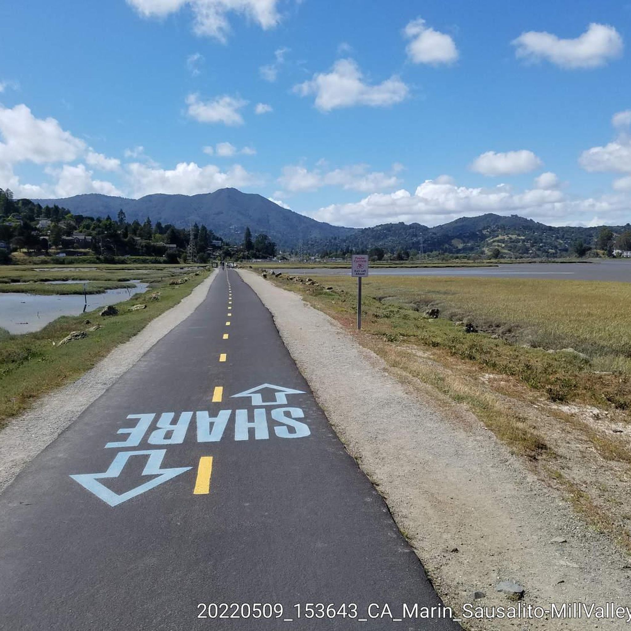
This tidal sanctuary runs along the Mill Valley-Sausalito Pathway and the Charles F. McGlashan Pathway. More than 400 species of migratory birds rest here after their long flights, and if you pass through in the early morning or late evening, the sunrises and sunsets reflect beautifully on the surface of this 106-acre marsh.
0
0

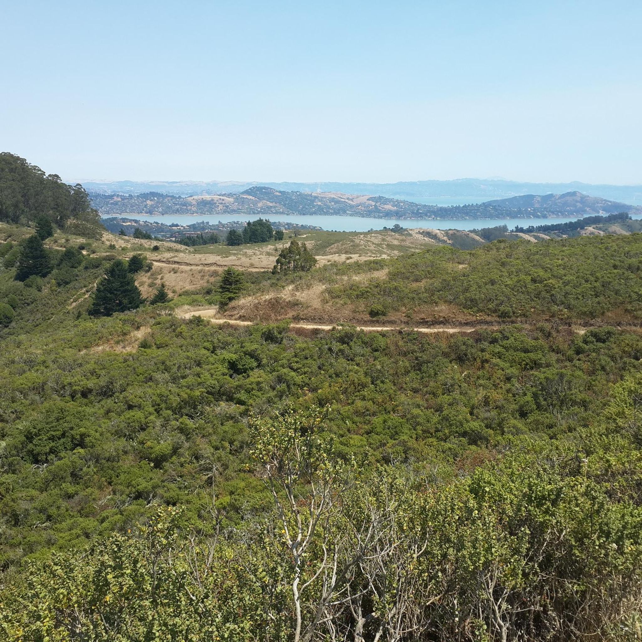
There is a great view of the northern point of Alpine lake where a small channel feeds over to Bon Tempe Lake. This is a great place to drop a line, or just enjoy the aquatic views.
0
0

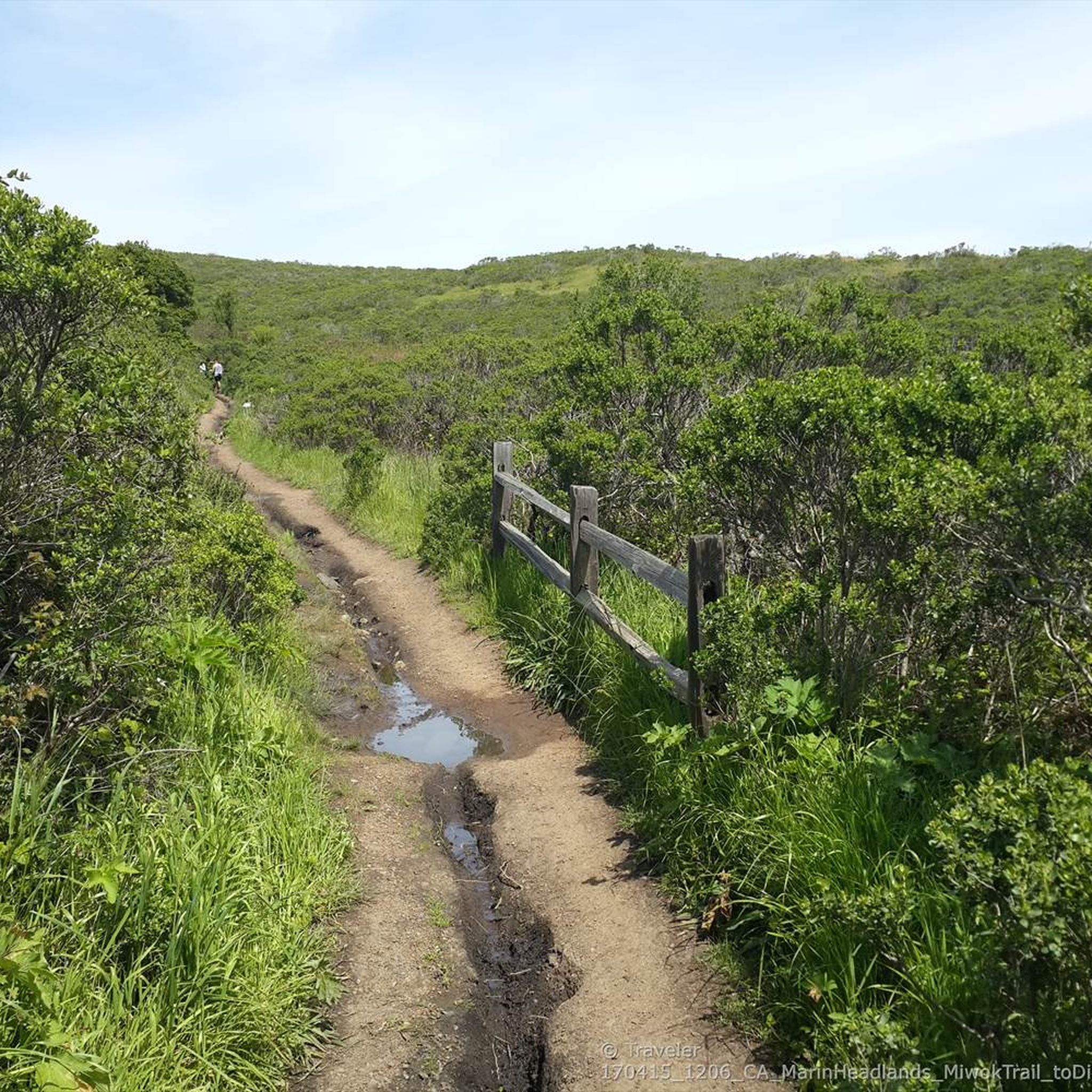
From easiest to hardest climbs out of phoenix lake from this junction: -Shaver Grade, easy grade, longer, shaded and pretty -Eldridge Grade, medium, good length and can connect you to mt tam east peak -Fish Grade fire road, very steep, we hiked the bikes
1
0
Frequently Asked Questions
What is the general difficulty level of gravel biking trails in Tamalpais-Homestead Valley?
Gravel biking in Tamalpais-Homestead Valley primarily features challenging routes. Out of 45 available tours, 33 are classified as difficult, and 12 as moderate. Riders should expect significant elevation gains and varied terrain, often on fire roads.
Are there any beginner-friendly gravel routes in the area?
While many routes are rated difficult, the historic Old Railroad Grade on Mount Tamalpais is often considered more accessible. It offers a wide and evenly graded ascent, making it a good option for those looking for a less technical ride, even with road bike tires. You can experience a portion of it on the Railroad Grade Fire Road loop from Mill Valley.
How many gravel bike trails are available in Tamalpais-Homestead Valley?
There are over 45 gravel bike trails available in Tamalpais-Homestead Valley, offering a wide range of options for exploration. These routes are highly rated by the komoot community, with an average score of 4.6 stars.
What kind of terrain can I expect on gravel bike trails around Mount Tamalpais?
The terrain around Mount Tamalpais is incredibly diverse. You'll encounter everything from rolling hills to dense redwood forests and stunning coastal vistas. Many routes utilize extensive networks of fire roads, which are ideal for gravel biking, alongside mixed evergreen forests, grasslands, and riparian zones.
Are there any notable viewpoints or landmarks along the gravel bike routes?
Absolutely. Mount Tamalpais itself offers breathtaking 360-degree views from its East Peak Summit. Along routes, you might pass the historic West Point Inn, a popular stop for cyclists. Trails also offer spectacular coastal views, especially from overlooks like Battery Spencer, providing sweeping views of the Golden Gate Bridge and the Pacific Ocean. The Old Mine Trail (lower) 🌲 – Coast View Trail loop from Tamalpais-Homestead Valley is known for its coastal viewpoints.
Can I find routes that pass by waterfalls or lakes?
Yes, the region features several beautiful natural water features. While gravel biking, you might encounter areas near Laurel Dell Falls or Carson Falls. For lakes, the Phoenix Lake – Fish Gulch trail junction loop from Mill Valley is a great option.
What is the best time of year for gravel biking in Tamalpais-Homestead Valley?
Thanks to its Mediterranean climate, characterized by warm, dry summers and mild, wet winters, Tamalpais-Homestead Valley is suitable for gravel biking year-round. However, spring and fall offer particularly pleasant temperatures and vibrant scenery. Winter rides are also possible, but be prepared for potentially wet conditions on trails.
Are there any loop gravel bike trails available?
Yes, many of the popular gravel routes in Tamalpais-Homestead Valley are designed as loops. Examples include the Pantoll Road loop from Mill Valley, the Railroad Grade Fire Road loop from Mill Valley, and the Bothin Marsh Preserve – Pantoll Road loop from Tamalpais-Homestead Valley.
What do other gravel bikers enjoy the most about gravel biking in Tamalpais-Homestead Valley?
The area is highly rated by the komoot community, with an average score of 4.6 stars from over 10 reviews. Reviewers often praise the diverse terrain, from redwood forests to coastal views, and the extensive network of fire roads that provide excellent gravel biking opportunities. The challenging climbs and rewarding panoramas are frequently highlighted.
Is public transport an option for accessing gravel trails in Tamalpais-Homestead Valley?
While specific public transport options directly to trailheads can vary, Marin County Transit provides bus services throughout the region. It's advisable to check local bus schedules and routes to see which lines might get you closest to your desired starting point. Some routes may require a short ride or walk to reach the trails.
Are there cafes or places to stop for refreshments near the gravel trails?
Yes, you'll find options for refreshments. The historic West Point Inn, accessible only by trail on Mount Tamalpais, is a popular and unique stop for cyclists. Additionally, the nearby towns like Mill Valley offer various cafes and eateries where you can refuel before or after your ride.
Are there any family-friendly gravel bike trails in Tamalpais-Homestead Valley?
While many routes feature significant elevation and are rated difficult, the more evenly graded sections of fire roads, such as parts of the Old Railroad Grade, can be suitable for families with older children or those comfortable with longer distances. Always check the specific route details for elevation and distance to ensure it matches your family's ability.
Most popular routes around Tamalpais-Homestead Valley
Most popular attractions around Tamalpais-Homestead Valley

Get inspired with the komoot mobile app


Explore more
Browse the best Gravel rides in other regions.
