The best running trails around South Monrovia Island
5.0
(11)
605
runners
54
runs
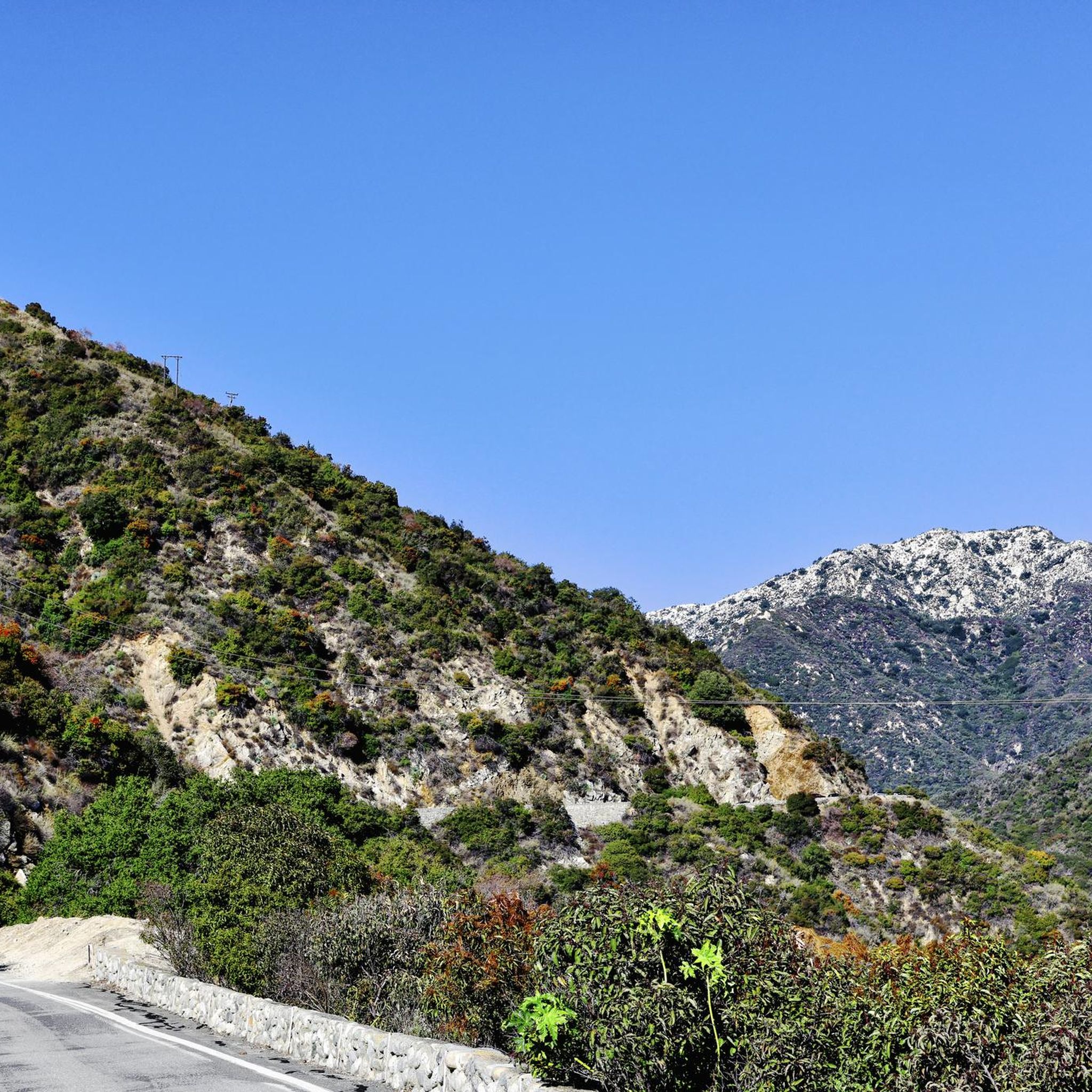
Jogging routes around South Monrovia Island offer diverse terrain at the foothills of the San Gabriel Mountains in Los Angeles County. The region is characterized by chaparral-covered hillsides and wooded canyons, providing numerous trails with varying difficulty levels. Access to the extensive trail networks of the Angeles National Forest and Monrovia Canyon Park further expands running options. Many routes provide scenic viewpoints of the surrounding mountains and valleys.
Best jogging routes around South Monrovia Island
- The most popular jogging route…
Last updated: November 11, 2026
5.0
(3)
13
runners
10.6km
01:06
70m
70m
Moderate run. Good fitness required. Mostly paved surfaces.
12
runners
20.2km
02:06
150m
150m
Hard run. Very good fitness required. Mostly paved surfaces.

16
runners
8.64km
00:54
90m
90m
Moderate run. Good fitness required. Mostly paved surfaces.
8
runners
Moderate run. Good fitness required. Mostly paved surfaces.
4
runners
Hard run. Very good fitness required. Mostly paved surfaces.
Get access to more routes and recommendations from other explorers.
Already have an account?
Our route recommendations are based on thousands of hikes, rides, and runs completed by other people on komoot.
Start today with a free account
Your next adventure awaits.

Tips from the Community

Monrovia Recreation Park is 22 acres and has playgrounds, picnic shelters, and restrooms. It is a good spot for a break in the shade and some water.
0
0

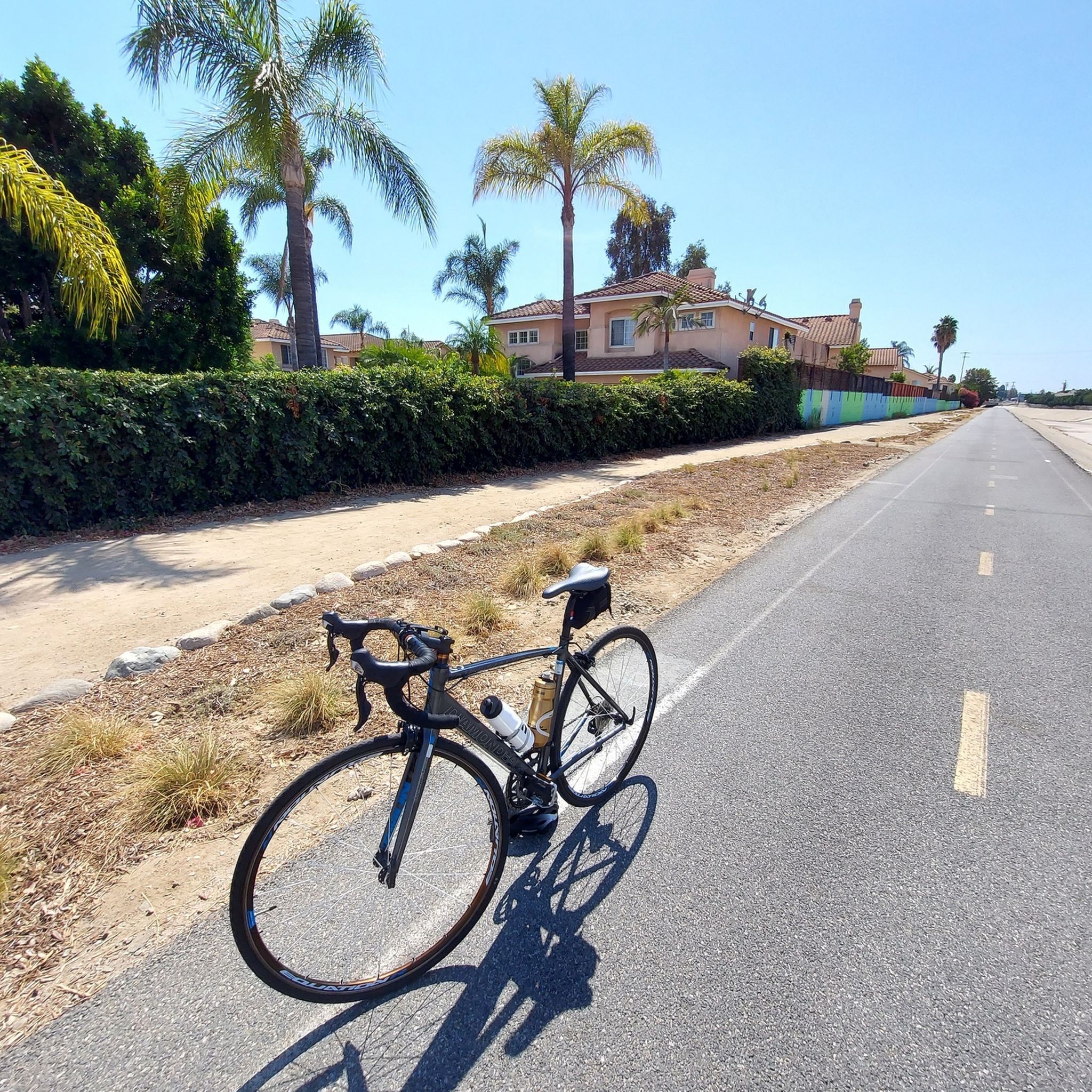
Nice bike path. not much roads to cross. some are hilly but doable for newbies. It's our first time and we had a good time. just some areas are with a lot of homeless people, esp. the tunnels.
0
0
Great view from the cycle path of the San Gabriel Mountains in the distance.
0
0

Leafy park with lawns and shaded seating, restrooms, drinking water. Great for a break
1
0
One of the best dedicated bike trails in the LA area, leading from the San Gabriel mountains north of Azuza along a car free paved river route all the way to Seal beach
2
0

Duarte Bike Trail is a multi-purpose trail that was founded in 1977. It stretches 1.6 miles from Buena Vista Avenue to Royal Oaks Park at Vineyard Avenue. There are both a paved cycling path and a dirt jogging and equestrian trail. The path runs under shady oak trees with gentle slopes, and the trail follows the historic Pacific Electric Railway route, where you can spot an arched bridge that once carried Red Trolley Cars to Los Angeles. Great for biking, jogging, dog walking, or leisurely strolls, the trail includes amenities like parking, restrooms at Royal Oaks Park, drinking fountains, and a bike repair station at Vineyard Avenue. It’s open daily from dawn to dusk.
0
0

The San Gabriel River Greenway is a 35.4-mile paved path that is known as an easy spot to ride. The trail parallels the San Gabriel River.
0
0

Santa Fe Flood Control Basin is a recreation area in the empty reservoir behind the Santa Fe Dam. You can see and access this area from the San Gabriel River Greenway, a 35.4-mile paved, multi-use path that parallels the San Gabriel River.
1
0
Frequently Asked Questions
How many running routes can I find around South Monrovia Island?
You'll find over 40 running routes around South Monrovia Island, offering a wide variety of experiences. These range from easy, flat paths to more challenging ascents into the foothills of the San Gabriel Mountains.
Are there running routes suitable for beginners or those looking for an easy jog?
Yes, South Monrovia Island offers several easy running paths. For a gentler option, consider the Duarte Recreational Trail – Duarte Bike Trail loop from Duarte Wilderness Preserve, which features both paved and dirt sections shaded by oak trees. The Los Angeles Arboretum also provides an easy 2.6-mile trail through botanical gardens.
What kind of terrain can I expect on the running trails in this area?
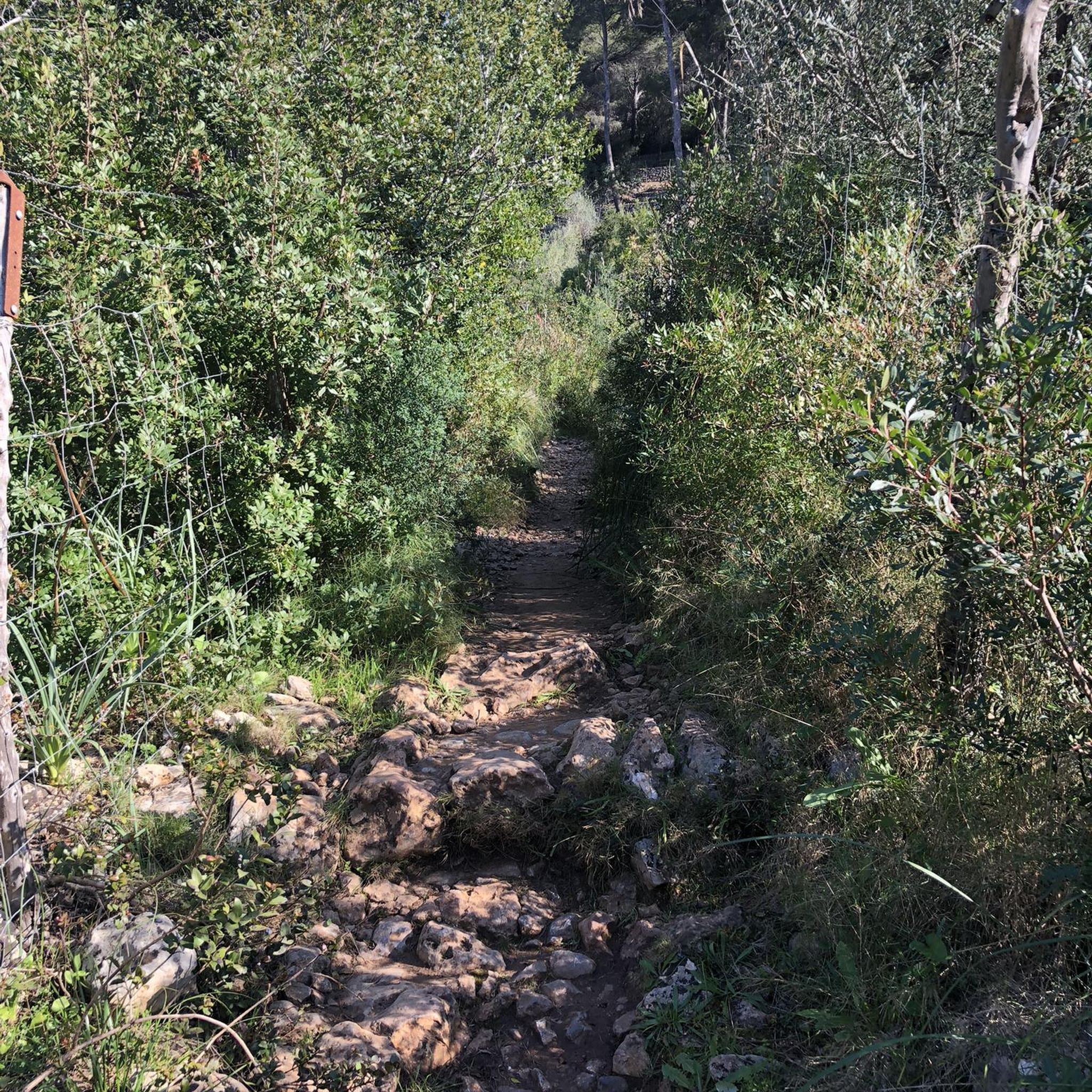
The terrain around South Monrovia Island is quite diverse. You can expect chaparral-covered hills, wooded canyons, and mountain vistas. Trails range from the multi-purpose paved and dirt paths of the Duarte Recreational Trail to more challenging ascents in the San Gabriel Mountains and Angeles National Forest, offering varied elevation and surfaces.
Are there any running routes that feature waterfalls?
Yes, the region is home to beautiful waterfalls. You can explore routes like the Sturtevant Falls via Sturtevant Trail in the Angeles National Forest, a 3.1-mile path featuring a creek and a waterfall. Monrovia Canyon Park also has the Falls Trail, leading to a seasonal waterfall amidst diverse ecosystems.
Can I bring my dog on the running trails in South Monrovia Island?
Many areas around South Monrovia Island are dog-friendly. For example, Big Santa Anita Canyon, known for its lush greenery and creeks, welcomes dogs on its trails. Always check specific park or trail regulations before heading out with your furry friend.
Are there any family-friendly running paths in the area?
Absolutely. The Duarte Recreational Trail is an excellent choice for families, offering a relatively flat and shaded path suitable for all ages. Monrovia Canyon Park also has various trails that can be enjoyed by families, providing picnic areas and scenic views.
What are some scenic viewpoints or landmarks I can see while running?
The region offers numerous scenic spots. The Cunningham Overlook Trail in Monrovia Canyon Park provides panoramic views of Monrovia, the San Gabriel Valley, and distant mountain ranges. The Overlook Summit also offers sweeping views of the cityscape. You can also find highlights like the Duarte Bike Trail and the San Gabriel River Greenway.
Are there any long-distance running trails for more experienced runners?
For those seeking a longer challenge, the region provides options like the River Wilderness Park loop from Duarte/City of Hope, which spans over 12 miles (20 km) and involves significant elevation changes. The Mount Wilson via Sturtevant Trail loop is another demanding 12-mile run through the Angeles National Forest.
What do other runners enjoy most about jogging in South Monrovia Island?
The running routes around South Monrovia Island are highly rated by the komoot community, with an average score of 5.0 stars. Runners often praise the diverse terrain, from chaparral-covered hills to wooded canyons, and the stunning mountain vistas. The variety of trails caters to different ability levels, making it enjoyable for many.
Are there any circular running routes available?
Yes, many of the popular running routes in the area are circular. Examples include the Arcadia County Park loop from Arcadia and the Duarte Bike Trail – Duarte Recreational Trail loop from Monrovia, which offer convenient starting and ending points.
What is the best time of year to go running in South Monrovia Island?
South Monrovia Island benefits from year-round pleasant weather, making it suitable for running throughout most of the year. Spring and fall offer particularly comfortable temperatures, while summer mornings can be ideal before the heat of the day. Winter running is also popular due to the mild climate.
Are there options for public transport or parking near the running trails?
While specific public transport options vary by trail, many popular areas like Monrovia Canyon Park have dedicated parking facilities. For trails like the Duarte Recreational Trail, you can often find parking near access points. It's advisable to check local transport and parking information for your chosen starting point.
Most popular attractions around South Monrovia Island

Get inspired with the komoot mobile app


Explore more
Browse the best Running Trails & Routes in other regions.
