The best road cycling routes around South Monrovia Island
4.6
(28)
2,061
riders
61
rides
Road cycling around South Monrovia Island offers diverse landscapes, from urban environments to the foothills of the San Gabriel Mountains. The region features an extensive network of paved trails and roads, often running alongside rivers like the San Gabriel River and Rio Hondo River. Cyclists can experience varied terrain, including flat river paths and more challenging climbs into the mountains, providing a mix of scenic views and physical demands. This area, part of Los Angeles County, is characterized by its…
Last updated: August 6, 2026
96
riders
Easy road ride. Great for any fitness level. Mostly well-paved surfaces and easy to ride.
5.0
(1)
80
riders
63.3km
03:31
930m
930m
Hard road ride. Very good fitness required. Mostly well-paved surfaces and easy to ride.

Sign up for free
42
riders
34.0km
01:34
110m
110m
Easy road ride. Great for any fitness level. Mostly well-paved surfaces and easy to ride.
30
riders
27.3km
01:52
640m
640m
Moderate road ride. Good fitness required. Mostly well-paved surfaces and easy to ride.
5.0
(1)
37
riders
27.3km
01:17
190m
190m
Easy road ride. Great for any fitness level. Mostly well-paved surfaces and easy to ride.
Get access to more routes and recommendations from other explorers.
Sign up for free
Already have an account?
Our route recommendations are based on thousands of hikes, rides, and runs completed by other people on komoot.
Start today with a free account
Your next adventure awaits.
Login or Signup


Tips from the Community

There are lots of vintage shops and cafes in the historic downtown. Library Park is a great place to rest in the shade with a bite to eat before continuing your ride.
0
0

The Rio Hondo Greenway is a beautiful bike lane that follows the river that gives the trail its name. It is fully paved and flat, so it is not a challenging trail.
0
0
Old Town Monrovia is a 10‑block historic district centered on Myrtle Avenue, that has brick‑lined sidewalks, vintage lampposts, and boutique shops.
0
0
Monrovia Recreation Park is 22 acres and has playgrounds, picnic shelters, and restrooms. It is a good spot for a break in the shade and some water.
0
0

Nice bike path. not much roads to cross. some are hilly but doable for newbies. It's our first time and we had a good time. just some areas are with a lot of homeless people, esp. the tunnels.
0
0
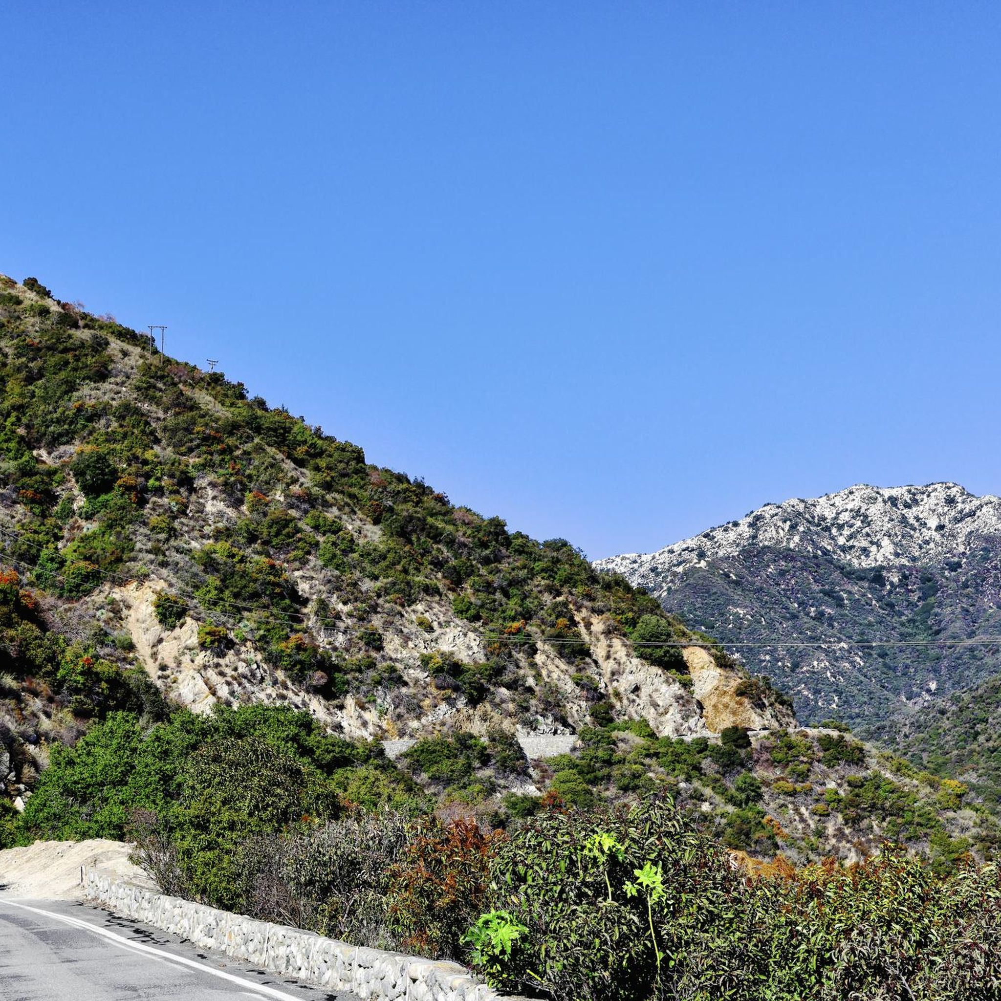
Great view from the cycle path of the San Gabriel Mountains in the distance.
0
0

Leafy park with lawns and shaded seating, restrooms, drinking water. Great for a break
1
0
One of the best dedicated bike trails in the LA area, leading from the San Gabriel mountains north of Azuza along a car free paved river route all the way to Seal beach
1
0
Frequently Asked Questions
Is South Monrovia Island a real place, and where is it located?
Yes, South Monrovia Island is a census-designated place within Los Angeles County, California. It's part of the broader Monrovia area, situated near the foothills of the San Gabriel Mountains, offering access to diverse road cycling landscapes.
How many road cycling routes are available around South Monrovia Island?
There are nearly 50 road cycling routes around South Monrovia Island documented on komoot. These routes cater to various skill levels, from easy, flat rides along river trails to more challenging climbs into the foothills.
What types of road cycling routes can I find in the area?
The region offers a mix of routes: easy, flat rides along extensive paved river trails like the San Gabriel River Greenway and Rio Hondo Greenway; moderate routes through suburban areas with gentle elevation changes; and difficult routes with significant elevation gain, particularly as you approach the San Gabriel Mountains.
Are there any easy road cycling routes suitable for beginners or families?
Absolutely. For an easy, mostly flat experience, consider the Bosque del Rio Hondo – Rio Hondo Greenway loop from Arcadia, which is about 34 km long and follows the Rio Hondo Greenway. Another family-friendly option is the Monrovia Recreation Park loop from Monrovia, an easy 27.4 km path around local parks.
Where can I find more challenging road cycling routes with significant climbs?
For a more challenging ride, routes that head towards the San Gabriel Mountains will offer greater elevation gain. The Syndicate Coffee – Chantry Flats Trailhead loop from Monrovia, for instance, is a moderate 27 km route that includes a substantial climb, providing a good workout and scenic views.
What scenic attractions can I see along the road cycling routes?
Many routes offer views of the majestic San Gabriel Mountains. You can also cycle alongside the San Gabriel River and Rio Hondo River. Specific highlights include the historic Duarte Bike Trail, the extensive San Gabriel River Greenway, and the Rio Hondo Greenway. Old Town Monrovia also offers a charming destination with its historic buildings.
Are there any loop routes available for road cycling?
Yes, many routes in the area are designed as loops, allowing you to start and end at the same point. Examples include the Bosque del Rio Hondo – Rio Hondo Greenway loop from Arcadia and the Monrovia Recreation Park loop from Monrovia. These provide convenient options for exploring the region.
What do other road cyclists say about the routes around South Monrovia Island?
The road cycling routes around South Monrovia Island are highly rated by the komoot community, with an average score of 4.4 stars from over 19 reviews. Cyclists often praise the well-maintained paved trails, the scenic views of the San Gabriel Mountains, and the accessibility of routes that combine urban and natural environments.
What is the best time of year for road cycling in South Monrovia Island?
The region generally offers good cycling conditions year-round due to Southern California's mild climate. Spring and fall provide particularly pleasant temperatures. Even in winter, many routes remain accessible and enjoyable, especially the lower elevation river trails.
Are there cafes or places to stop for refreshments along the routes?
Yes, many routes pass through or near urban areas like Monrovia and Arcadia, where you can find various cafes, restaurants, and shops. For example, the Syndicate Coffee – Prime Pizza loop from Arcadia explicitly mentions starting points near local establishments, making it easy to plan refreshment stops.
Where can I find parking for road cycling trails in the area?
Parking is generally available at various access points along the major trails and in parks. For routes starting in urban centers like Arcadia or Monrovia, street parking or public lots may be available. It's advisable to check specific starting points for the most convenient parking options.
Can I access road cycling trails using public transport?
The Los Angeles County area has a public transportation network that can provide access to various parts of Monrovia and the surrounding areas. While direct access to every trailhead might vary, many routes are integrated with urban areas, making them potentially accessible via bus or Metro lines. Planning your route with public transport in mind is recommended.
Most popular routes around South Monrovia Island
Most popular attractions around South Monrovia Island

Get inspired with the komoot mobile app


Explore more
Browse the best Road cycling routes in other regions.
