The best walks and hikes around Pleasure Point
4.8
(145)
2,962
hikers
168
hikes
Hikes around Pleasure Point Santa Cruz primarily feature coastal paths with views of Monterey Bay. The immediate area is characterized by paved and granite coastal walks suitable for all abilities. For more extensive hiking trails, nearby state parks provide access to varied terrain, including coastal bluffs, rolling grasslands, and second-growth redwood forests.
Best hiking trails around Pleasure Point
- The most popular hiking route is Esplanade Park and Viewing Point – Pleasure Point Beach loop from Capitola, a 5.0 mile (8.1 km) trail that takes around 1 hour 15 minutes to complete. This route follows the coastline, passing several viewpoints and parks.
- Another top favourite among local hiking enthusiasts is Pleasure Point Beach loop from Twin Lakes State Beach, an easy 3.3 mile (5.4 km) path. The trail is mostly flat and provides consistent ocean scenery along the Pleasure Point cliff walk.
- Local hiking enthusiasts also love the Pleasure Point Beach loop from Pleasure Point, a 1.4 mile (2.3 km) trail leading through the main coastal area, often completed in about 20 minutes.
- Hiking around Pleasure Point is defined by accessible coastal paths, sandy beaches, and nearby redwood forests. The network of trails offers options for different ability levels, from short, flat walks to more moderate routes.
- The routes in Pleasure Point are highly rated by the komoot community with an average score of 4.7 stars from more than 90 reviews. More than 2,000 hikers have used komoot to explore Pleasure Point's varied terrain.
Last updated: November 8, 2026
8
hikers
2.30km
00:36
20m
20m
Easy hike. Easily walkable paths.
2.70km
00:42
10m
20m
Easy hike. Easily walkable paths.

1
hikers
2.77km
00:43
10m
20m
Easy hike. Easily walkable paths.
1.18km
00:20
20m
20m
Easy hike. Easily walkable paths.
5.0
(2)
51
hikers
Easy hike. Easily walkable paths.
Get access to more routes and recommendations from other explorers.
Already have an account?
Our route recommendations are based on thousands of hikes, rides, and runs completed by other people on komoot.
Start today with a free account
Your next adventure awaits.


Tips from the Community

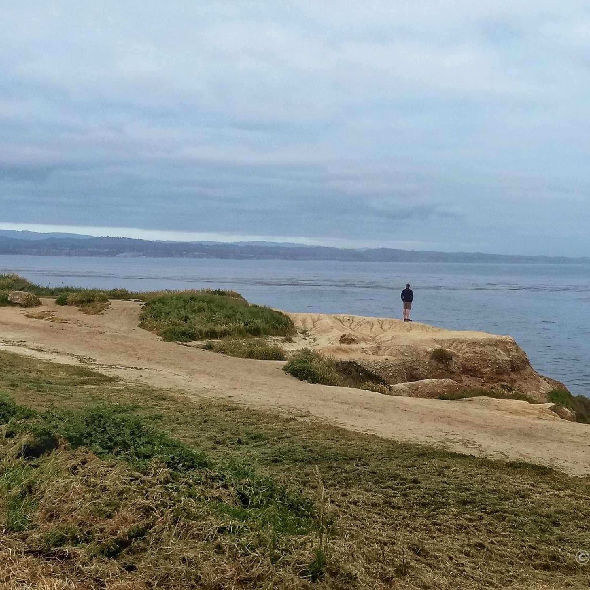
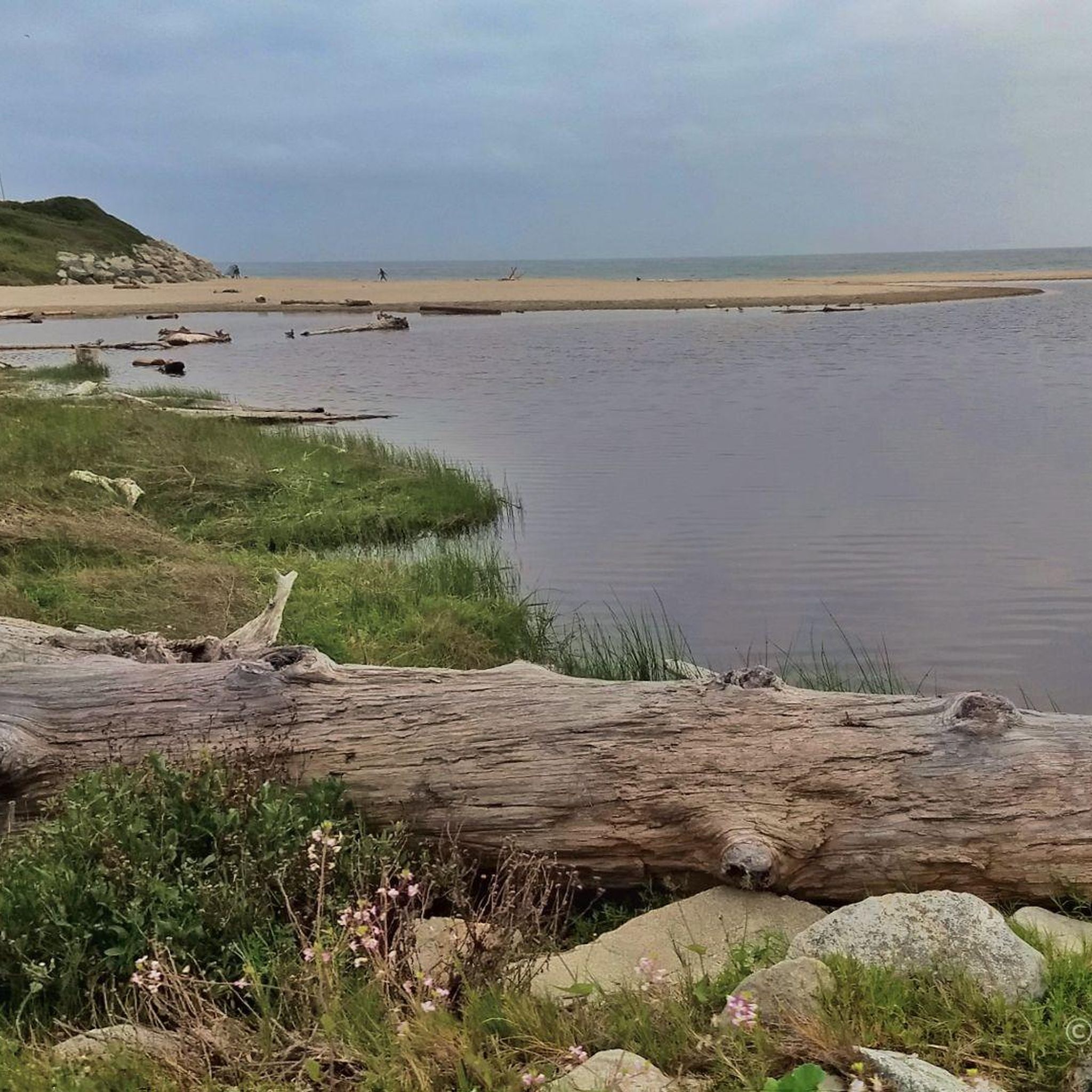
A small but cozy beach along East Cliff Drive, featuring a lake and a park. There’s bike parking nearby and benches overlooking the water, making it a great spot to pause during your ride, enjoy the ocean views, or even take a refreshing dip. The beach is especially nice during low tide.
0
0

The Santa Cruz Pier is a staple of the area. It has a paid amusement park, public restrooms, classic fair food options, and access to the beach. The Ferris wheel with the ocean in the background makes for an iconic photo op.
0
0

Great for family outings and entertainment. Amusement park, beach and shopping possible. Ideal with children and teens👍
0
0

An ancient probably Tertiary Area beach to be discovered in the clay basis of the beach Northern end
0
0

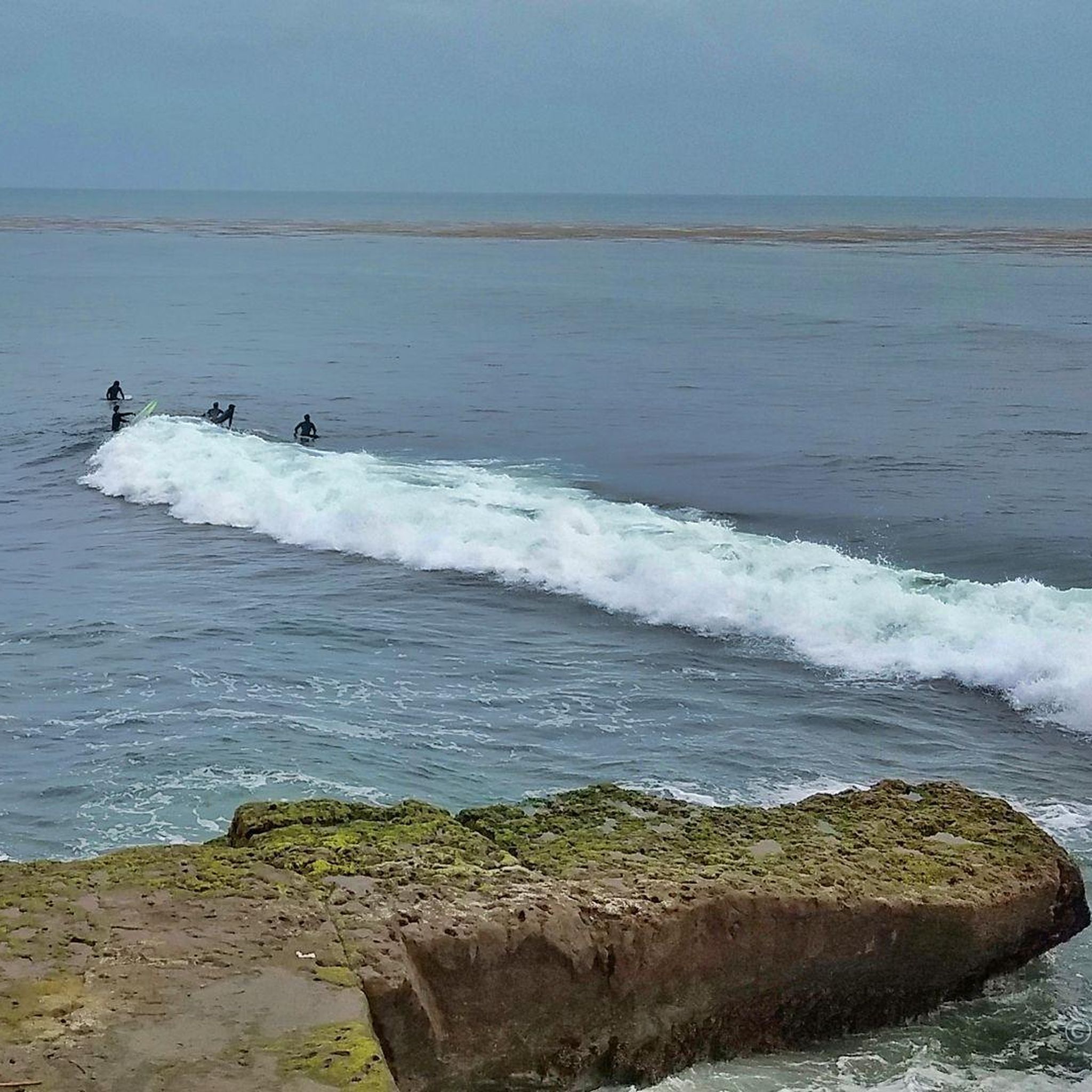
For cyclists exploring Santa Cruz, Pleasure Point Beach on 38th Avenue beckons with its beauty and recreational opportunities. Ideal for swimming, sunbathing, and surfing, the beach offers a picturesque setting. It is accessible via a brief walk from the road.
0
0

The Monterey Bay Sanctuary Scenic Trail crosses the river on the San Lorenzo River Railroad Bridge. You are right next to the actual tracks and get a pretty cool view up and down the waterway.
0
0

Pleasure Point Beach is a popular surf spot and is part of Pleasure Point Park. The park also features restrooms, picnic tables, and offers great views.
0
0
Moran Lake Beach is part of the 9.2-acre Moran Lake Park. The beach stretches about a mile long and is a popular surf spot. The park offers restrooms, picnic tables, and outdoor showers.
0
0
Frequently Asked Questions
Are there many hiking trails directly in Pleasure Point?
Pleasure Point itself is best known for its scenic coastal walks along the paved East Cliff Drive County Parkway, which is perfect for a gentle stroll with ocean views. For more traditional and varied hiking trails, you'll want to explore the excellent nearby state parks, which are just a short drive away.
Where can I find hikes with ocean views near Pleasure Point?
For stunning coastal bluff trails and panoramic ocean vistas, head to the highly-regarded Wilder Ranch State Park. The trails there, such as the Old Cove Landing Trail, offer mesmerizing views of the Pacific. Many of the coastal walks right in Pleasure Point, like the Pleasure Point Beach loop from Twin Lakes State Beach, also provide continuous seaside scenery.
Are there any redwood forests nearby for hiking?
Yes, for a classic redwood hiking experience, The Forest of Nisene Marks State Park near Aptos is an excellent choice. It features about 30 miles of trails through a beautiful second-growth redwood forest. Another fantastic and popular option is Henry Cowell Redwoods State Park, which is also a short drive away and offers majestic old-growth trees.
What are some good family-friendly hikes in the area?
The coastal paths directly in Pleasure Point are flat, paved, and great for families. For a bit more of a nature walk, the Sunset/Beach Trail loop — Brighton State Beach is an easy and short option. In nearby Wilder Ranch State Park, the Old Cove Landing Trail is a family-friendly loop with fantastic ocean scenery and even a hidden fern grotto.
Are dogs allowed on the hiking trails?
Dogs on-leash are welcome on the paved coastal paths through Pleasure Point itself. However, most trails within the nearby state parks, such as Wilder Ranch and The Forest of Nisene Marks, do not permit dogs to protect the wildlife and habitat. Always check the specific park regulations before you go.
Where can I find more challenging hikes?
For a more strenuous workout, head inland at Wilder Ranch State Park to trails like the Wilder Ridge Loop, which involves more climbing and rewards you with sweeping views. The Forest of Nisene Marks State Park also offers challenging hikes that climb over 2,600 feet, such as the trails leading towards the Loma Prieta Epicenter.
Can I find any waterfalls on hikes near Pleasure Point?
Yes, you can. A popular hike within The Forest of Nisene Marks State Park leads to Maple Falls. The trail follows Bridge Creek through a lush, fern-lined canyon to the picturesque waterfall. Be aware that the trail can be rugged and may involve creek crossings.
What are some popular circular or loop hikes?
Many of the best hikes in the area are loops. The Santa Cruz Boardwalk – Downtown Santa Cruz Mural loop from Seabright offers a varied urban and coastal walk. For a more nature-focused loop, the Old Growth Loop Trail in The Forest of Nisene Marks State Park is a favorite for its beautiful redwood scenery.
Where is the best place to park for the Pleasure Point coastal walk?
There is free street parking available along East Cliff Drive and on the residential side streets. Parking can be competitive, especially on sunny weekends. Arriving early is your best bet to find a convenient spot close to the main walking path.
Are there public restrooms available along the walk?
Yes, public restrooms are available at several points along the coastal path. You can find facilities at Pleasure Point Park and at various beach access points as you walk towards Capitola or the Santa Cruz Harbor.
How many hiking trails are available around Pleasure Point?
Including the immediate coastal walks and the extensive networks in nearby state parks, there are over 100 different routes to explore. The vast majority are rated as easy, with plenty of moderate options and a few difficult trails for those seeking a challenge.
What do other hikers say about the trails in this area?
The trails around Pleasure Point are highly rated by the komoot community, with an average score of 4.7 out of 5 stars. Hikers frequently praise the stunning and accessible ocean views along the coast and the serene, majestic atmosphere of the nearby redwood forests.
Most popular routes around Pleasure Point
Most popular attractions around Pleasure Point

Get inspired with the komoot mobile app


Explore more
Browse the best Hikes in other regions.
