The best running trails around North Auburn
5.0
(9)
1,012
runners
10
runs
Jogging routes around North Auburn are set within the Sierra Nevada foothills, offering diverse landscapes for runners. The region features rolling hills, lush greenery, and views of the American River canyons, which are carved by the North and Middle Forks of the American River. These areas encompass riparian habitats, chaparral, foothill woodlands, and mixed conifer forests, providing varied backdrops for running. The terrain ranges from relatively flat paths to routes with significant elevation changes, catering to different experience levels.
Best…
Last updated: August 3, 2026
2
runners
6.05km
00:51
220m
220m
Jog the moderate 3.8-mile Stagecoach Trail Loop in Auburn State Recreation Area, gaining 725 feet in about 50 minutes.
2.47km
00:15
20m
20m
Easy 1.5-mile jogging loop in Auburn District Regional Park, featuring a central pond and shaded oak trees.

Sign up for free
5.0
(1)
50
runners
17.8km
02:11
430m
430m
Hard run. Very good fitness required. Mostly paved surfaces. Suitable for all skill levels.
22
runners
26.4km
03:21
780m
780m
Hard run. Very good fitness required. Mostly paved surfaces. Suitable for all skill levels.
10
runners
5.84km
00:48
200m
200m
Moderate run. Good fitness required. Mostly paved surfaces. Suitable for all skill levels.
Get access to more routes and recommendations from other explorers.
Sign up for free
Already have an account?
Our route recommendations are based on thousands of hikes, rides, and runs completed by other people on komoot.
Start today with a free account
Your next adventure awaits.
Login or Signup
Tips from the Community

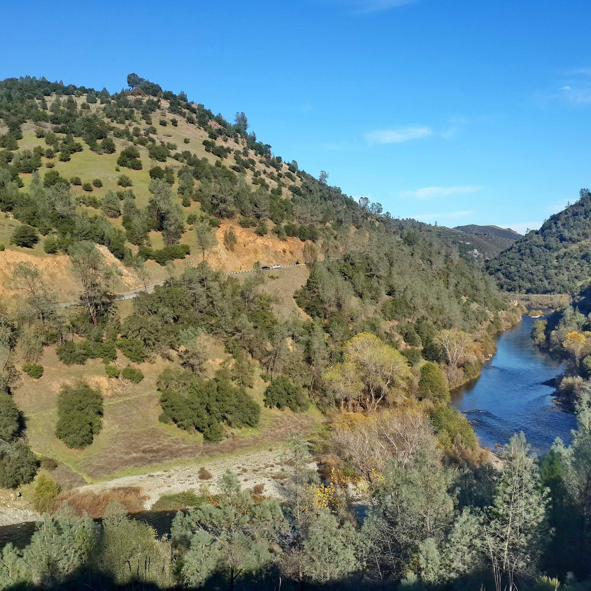
Great perspective for a long view south into the American River Canyon from the western ridge. Pioneer Express trail connects nearby to Shirland Canal Trail to stay on the contour, and also continues parallel to the south and north.
1
0
Loop road and start/end of a network of trails, including the Overlook Trail and the Western States Trail. Scenic views of the American River Canyon to the east and south
1
0

The Western States Trail is a beautiful trail that runs from Sacramento to Salt Lake City. This is a beautiful section that runs through the Auburn State Recreation Area. The trail runs along a ridge and gives you great views of the American River.
1
0
Good overlook and starting point for hikes along the crest or down into the trail system on the west bank of the American River canyon.
0
0

This trail offers captivating bird's eye views of the confluence area and American River Canyon. With a history dating back to the mid-1800s, it's a testament to the region's rich cultural heritage. It's a popular multiuse trail, so keep an eye out for hikers and runners, especially around corners.
1
0

Auburn District Regional Park has walking and running paved trails and a pond in the park. The park has all sorts of amenities, like picnic areas, sports fields, and restrooms.
0
0
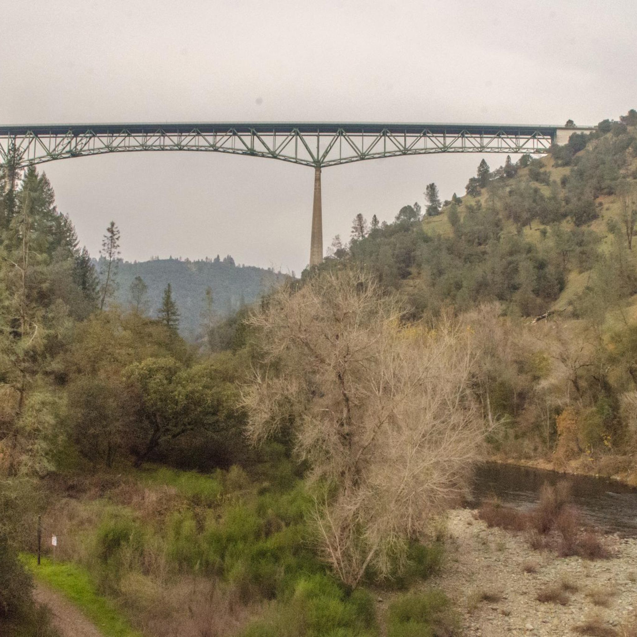
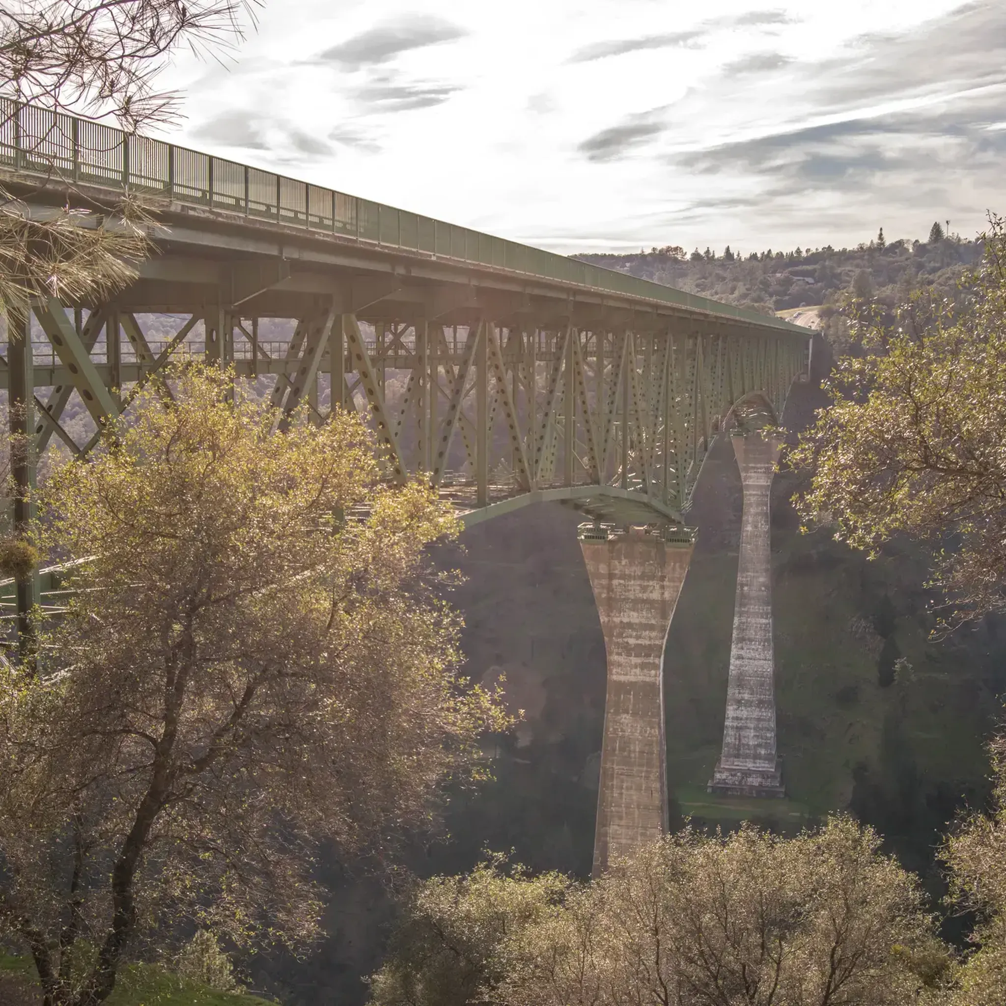
The Foresthill Bridge, spanning 2,428 feet over the North Fork American River, holds the title of the tallest bridge in California. Does it look familiar? Movie buffs might recognize it from Xander Cage's parachute jump in "XXX" and John Travolta's 1996 blockbuster "Phenomenon."
0
0
The American River Canyon Overlook Park is best known for its views right there from the park, but it is also a trailhead for hikers. There is quite a bit of parking, and there is an awesome skatepark as well.
0
0
Frequently Asked Questions
How many jogging routes are available in North Auburn?
North Auburn offers a wide selection of running routes, with over 80 trails available for joggers of all levels. These routes traverse diverse landscapes, from rolling hills to the American River canyons.
Are there easy or beginner-friendly jogging routes in North Auburn?
Yes, North Auburn has options for beginners. While many routes feature significant elevation changes, there are 5 easy routes and 39 moderate routes available. For a more relaxed jog, consider paths around Auburn Olive Orchard Loop or the Regional Park, which features a pond encircled by a sidewalk.
What kind of terrain can I expect on North Auburn's running trails?
The running trails in North Auburn offer a diverse range of terrain, from relatively flat paths to challenging routes with significant elevation changes. You'll encounter rolling hills, lush greenery, and stunning views of the Sierra Nevada foothills and the American River canyons, including riparian areas, chaparral, foothill woodlands, and mixed conifer forests.
Can I find loop running routes in North Auburn?
Yes, loop routes are available for runners. A popular option is the Stagecoach Trail Loop, a 3.8-mile trail that takes you through the scenic American River canyons. Another option is the Auburn Olive Orchard Loop.
What scenic views or natural attractions can I see while jogging?
Many running routes in North Auburn offer breathtaking scenery. You can enjoy views of Lake Clementine, the impressive Foresthill Bridge, and the American River Canyon. Trails like the Quarry Trail provide scenic vistas, and during spring, wildflowers often add to the beauty.
Are there any waterfalls along the running routes in North Auburn?
Yes, you can find waterfalls along some running routes. The Lake Clementine Trail features views of cascading waterfalls. Additionally, the American Canyon Trail, located within the Auburn State Recreation Area, is known for its beautiful stream with waterfalls.
What do other runners say about the jogging routes in North Auburn?
The running routes in North Auburn are highly regarded by the komoot community, with an average score of 5.0 stars from over 10 reviews. More than 1000 runners have explored the varied terrain, often praising the diverse landscapes and scenic beauty of the Sierra Nevada foothills and American River canyons.
Are there any less crowded or 'hidden gem' jogging trails in North Auburn?
While popular trails can see more activity, North Auburn offers many miles of trails within the Auburn State Recreation Area, providing ample space. For a potentially quieter experience, North Park is described as a 'hidden gem' in a peaceful neighborhood, offering open space for a tranquil run.
Is there parking available at the trailheads for jogging routes?
Yes, many trailheads in North Auburn, especially within the Auburn State Recreation Area and other regional parks like Hidden Falls Regional Park, offer designated parking facilities for visitors. It's always advisable to check specific trail information for parking details before your run.
What is the best time of year to go jogging in North Auburn?
North Auburn is suitable for jogging year-round, but spring and fall are particularly pleasant due to milder temperatures and blooming wildflowers in spring. Summer can be warm, so early morning or late evening runs are recommended. Winter offers cooler temperatures, but some higher elevation trails might be affected by weather conditions.
Are there family-friendly jogging options in North Auburn?
For families looking for a more relaxed jogging experience, the Regional Park on Dry Creek Road offers a large pond encircled by a sidewalk, making it suitable for a leisurely jog or walk with children. Many of the moderate trails also provide accessible options for active families.
Where can I find more information about the Auburn State Recreation Area?
For detailed information about the Auburn State Recreation Area, including trail maps, regulations, and facilities, you can visit the official California State Parks website: parks.ca.gov.
Are there any long-distance running options for endurance training?
Absolutely. North Auburn is known as the 'Endurance Capital of the World' for good reason. The Auburn State Recreation Area alone boasts over 100 miles of trails. The historic Western States Trail, with a significant portion within ASRA, provides extensive options for long-distance runners seeking challenging and varied terrain.
Most popular attractions around North Auburn

Get inspired with the komoot mobile app


Explore more
Browse the best Running Trails & Routes in other regions.
