The best road cycling routes around La Presa
4.7
(263)
2,107
riders
104
rides
Road cycling routes around La Presa offer diverse terrain, from suburban settings to significant natural environments. The area provides access to mountains, serene reservoirs, and river trails, catering to various fitness levels. Cyclists can find well-paved surfaces suitable for road biking, with options for different elevations and distances. The landscape combines physical activity with scenic enjoyment, featuring panoramic views from elevated points.
Best road cycling routes around La Presa
- The most popular road cycling route is Sweetwater River – Skyline…
Last updated: May 15, 2026
4.8
(5)
197
riders
91.5km
04:34
1,420m
1,420m
Hard road ride. Very good fitness required. Mostly well-paved surfaces and easy to ride.
25
riders
Moderate road ride. Good fitness required. Mostly well-paved surfaces and easy to ride.

Sign up for free
5.0
(1)
20
riders
Moderate road ride. Good fitness required. Mostly well-paved surfaces and easy to ride.
5.0
(1)
16
riders
43.1km
02:14
610m
610m
Moderate road ride. Good fitness required. Some segments of this route may be unpaved and difficult to ride.
14
riders
Moderate road ride. Good fitness required. Some segments of this route may be unpaved and difficult to ride.
Get access to more routes and recommendations from other explorers.
Sign up for free
Already have an account?
Our route recommendations are based on thousands of hikes, rides, and runs completed by other people on komoot.
Start today with a free account
Your next adventure awaits.
Login or Signup
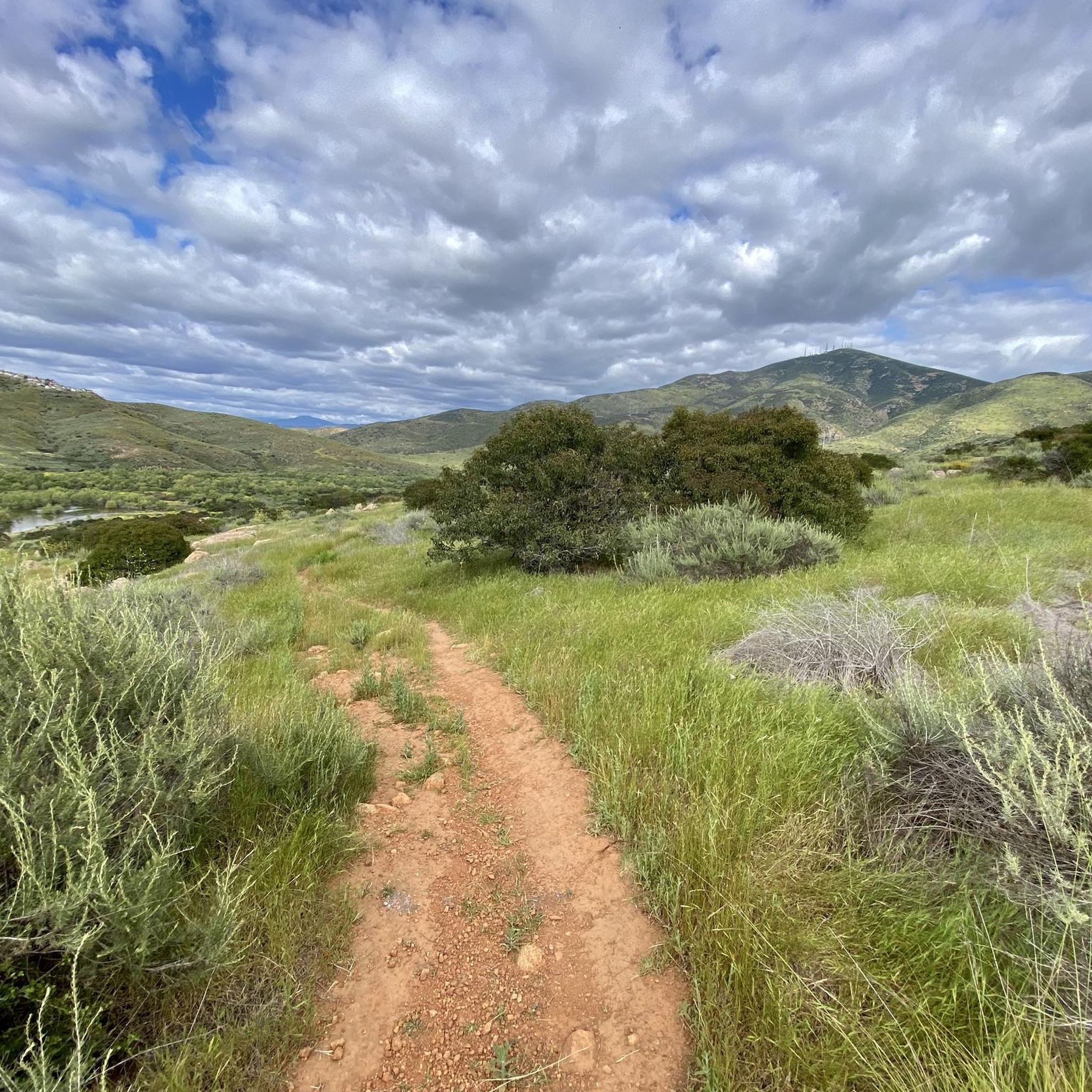
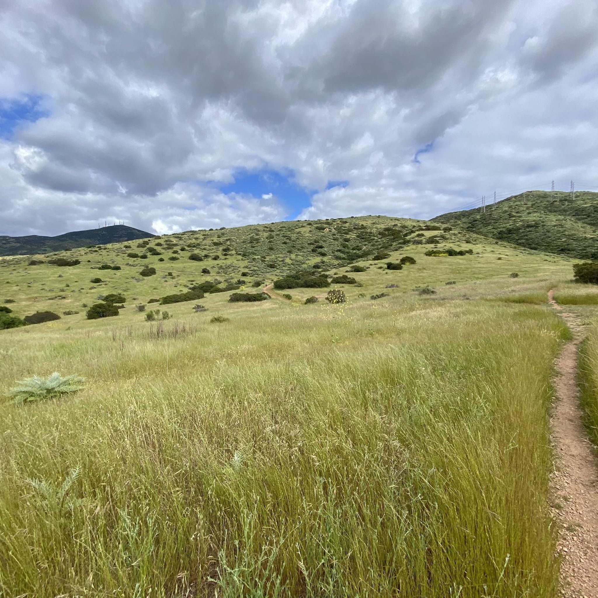
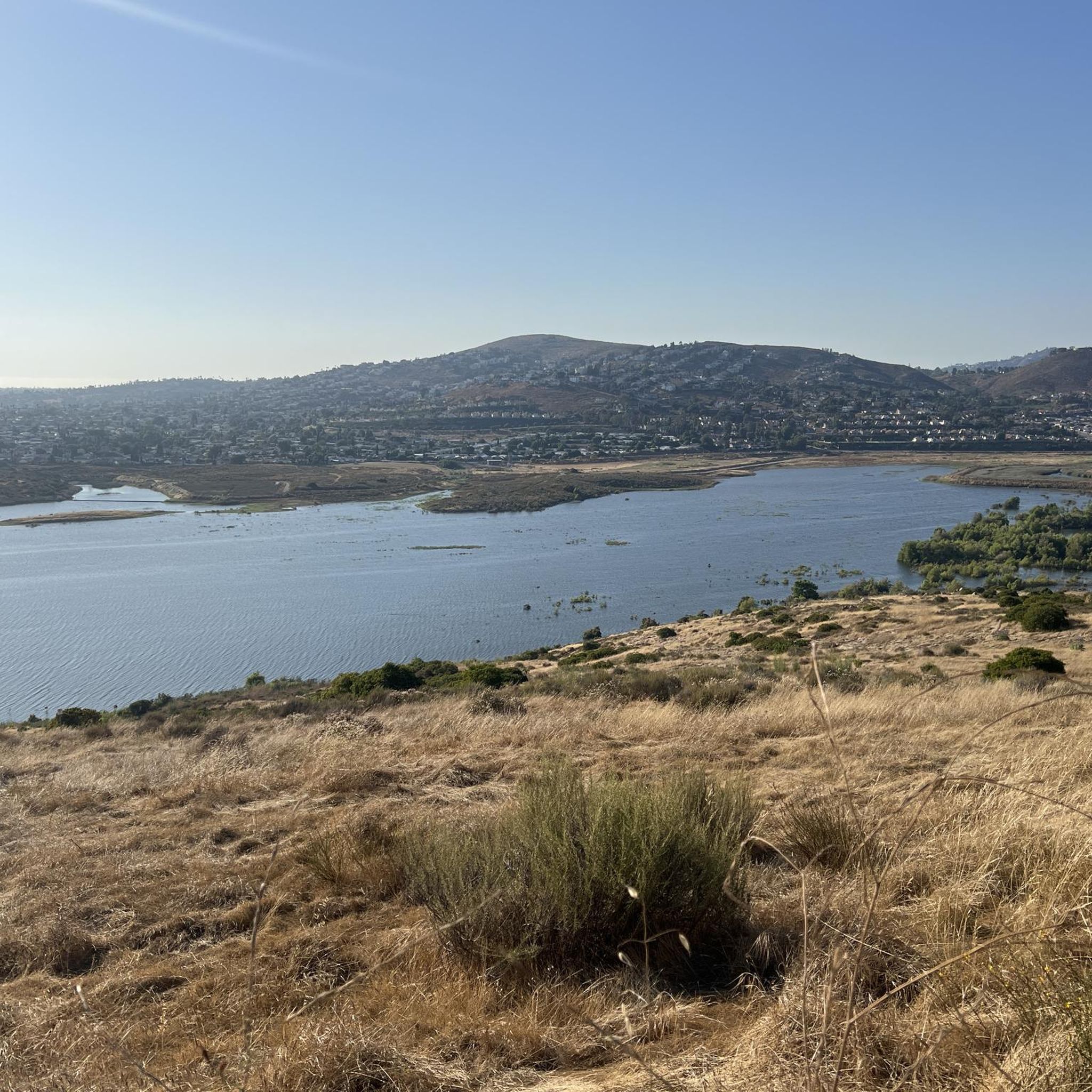
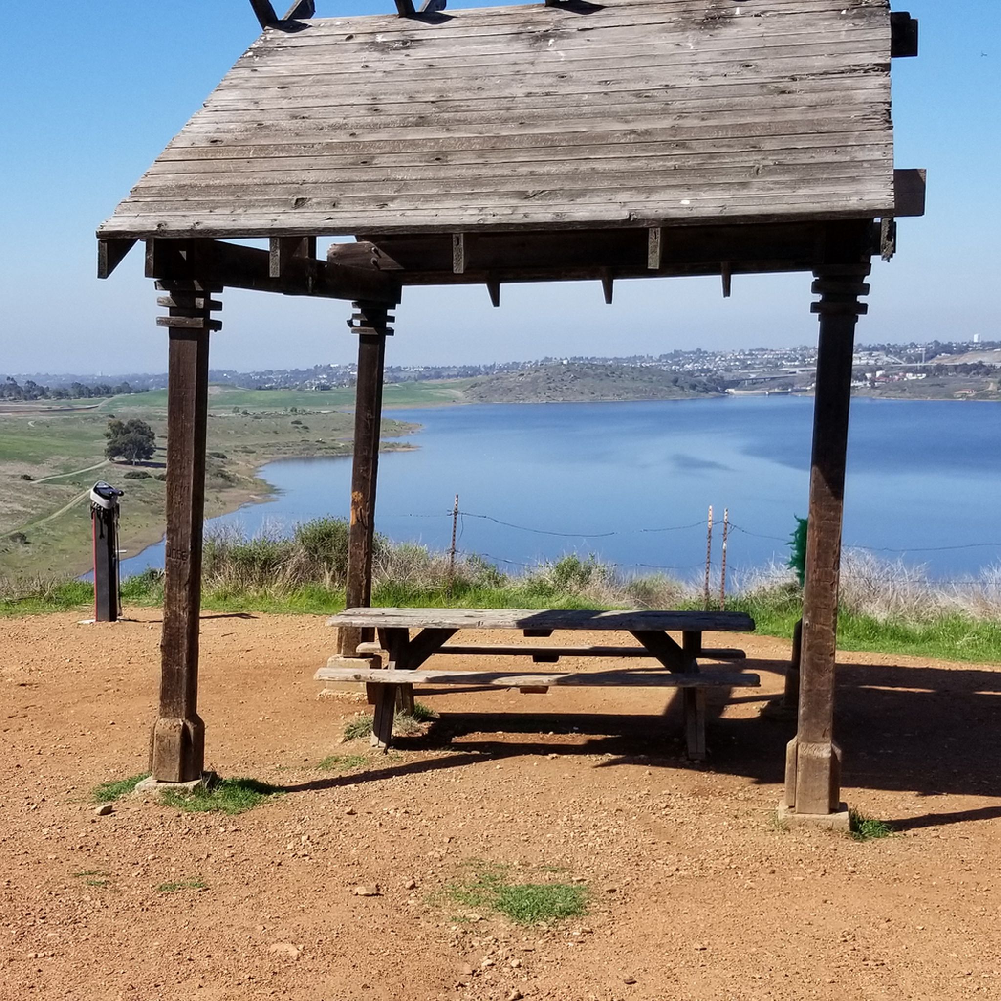
Tips from the Community


The Lake Murray Reservoir is a 171.1 acre body of water. It is a popular spot for boaters and there is a path that runs alongside the perimeter of the water.
1
0

The Sweetwater River is a small year-round stream that flows 55 miles from the Cuyamaca Mountains to the San Diego Bay.
1
0

The view from this section of the bikeway is stunning. The vibrant green and blue colors of the water and skyline are breathtaking and worthy of a stop to take some incredible photos.
1
0

This is a short, bi-directional State Route (SR) connector path that runs along the north side of the State 52 Freeway from Santo Road in San Diego to Mast Blvd in Santee. It is separated from the freeway by a concrete barrier.
0
0

Lake Murray, managed by the City of San Diego's Public Utilities Department, is a reservoir in San Diego, California. While partly bordered by residential areas and roads, it falls under the jurisdiction of Mission Trails Regional Park. At capacity, it spans 171.1 acres (69.2 ha) with a maximum depth of 95 feet (29 m) and a shoreline extending 3.2 miles (5.1 km).
0
0

The Steele Canyon Bridge, also known as the Sweetwater River Bridge, is a beautiful landmark crossing the Sweetwater River. It is on the National Register of Historic places, and is no longer used for vehicles but is a great hiking, running or biking spot.
0
0

This overlook on the trail offers a cool bird's eye view of the Old Mission Dam. You can tell just how wide the structure spans when you get this higher perspective.
0
0
Frequently Asked Questions
How many road cycling routes are available in La Presa?
La Presa offers a wide selection of road cycling routes, with over 100 routes available on komoot. These routes cater to various preferences, including easy, moderate, and difficult options.
What kind of terrain can I expect on road cycling routes around La Presa?
Road cycling in La Presa features diverse terrain, ranging from suburban settings to significant natural environments. You'll find well-paved surfaces, varied elevations, and opportunities to cycle through mountains, serene reservoirs, and along river trails. The area offers a mix of moderate to difficult routes.
Are there road cycling routes suitable for beginners or families in La Presa?
Yes, La Presa has options for all skill levels. There are 11 easy road cycling routes available, making it possible for beginners and families to enjoy the area's scenic beauty on two wheels.
What are some challenging road cycling routes in La Presa?
For experienced cyclists seeking a challenge, La Presa offers 16 difficult routes. One such route is the Sweetwater River – Skyline Truck Descent loop from Lemon Grove Depot, which covers 56.8 miles (91.5 km) with significant elevation gain through varied landscapes. Another challenging option is the Upper Otay Reservoir – Otay Reservoir Dam loop from Massachusetts Avenue, spanning 64.4 miles (103.7 km) through reservoir landscapes.
Can I find long-distance road cycling routes in La Presa?
Absolutely. La Presa is home to several long-distance road cycling routes. For example, the Upper Otay Reservoir – Otay Reservoir Dam loop from Massachusetts Avenue is a substantial 64.4 miles (103.7 km) ride. Another great option is the Sweetwater River – Skyline Truck Descent loop from Lemon Grove Depot, which is 56.8 miles (91.5 km) long.
What scenic viewpoints can I enjoy while road cycling in La Presa?
La Presa offers breathtaking scenery and panoramic views from elevated points. You can enjoy spectacular vistas from View from Cowles Mountain, which is the highest point in San Diego. Mother Miguel Mountain Summit Rockhouse also provides great views of other peaks and the Sweetwater Reservoir. Other notable viewpoints include Mount Helix and Dictionary Hill.
Are there any natural features or landmarks to see along the road cycling routes?
Yes, road cycling routes in La Presa often pass by significant natural features and landmarks. You can cycle near the serene Sweetwater Reservoir, which is ideal for bird-watching and offers beautiful views. The Otay Reservoir Dam is another prominent landmark. Additionally, the Glorietta Bay Park – View of San Diego Bay loop from Spring Street offers views of San Diego Bay.
What is the best time of year to go road cycling in La Presa?
La Presa's location in San Diego County generally provides favorable cycling conditions year-round. The mild climate makes it an excellent destination for outdoor activities, though checking local weather forecasts before your ride is always recommended.
Are there options for parking or public transport access to road cycling routes in La Presa?
While specific parking and public transport details vary by route, La Presa's suburban setting often provides access points. Many routes, like the Sweetwater River – Skyline Truck Descent loop, start from locations like Lemon Grove Depot, which may offer parking or public transport connections. It's advisable to check the starting point of your chosen route for specific access information.
What do other road cyclists enjoy the most about road cycling in La Presa?
The road cycling routes around La Presa are highly rated by the komoot community, with an average score of 4.7 stars from over 200 reviews. Cyclists often praise the diverse terrain, access to beautiful reservoirs, and the elevated viewpoints that offer stunning panoramic scenery. The variety of routes, from moderate to difficult, also contributes to its popularity.
Are there any moderate-difficulty loop routes for road cycling in La Presa?
Yes, there are several moderate loop routes. The Glorietta Bay Park – View of San Diego Bay loop from Spring Street is a popular moderate 52.4-mile (84.3 km) path offering views of San Diego Bay. Another moderate option is the Sweetwater Park Trail – Otay Reservoir Dam loop from Lomita, which is 43.1 miles (69.3 km) long.
Can I find road cycling routes that pass by lakes or reservoirs?
Many road cycling routes in La Presa feature beautiful lakes and reservoirs. You can explore routes that go past Lake Murray Reservoir, Sweetwater Reservoir, and the Otay Reservoir Dam. The Lower Otay Reservoir – Otay Reservoir Dam loop from Spring Street is a great example, offering 43.9 miles (70.7 km) of cycling around these water bodies.
Most popular attractions around La Presa

Get inspired with the komoot mobile app


Explore more
Browse the best Road cycling routes in other regions.
