The best walks and hikes around La Presa
4.7
(95)
1,134
hikers
54
hikes
Hiking around La Presa, California, offers access to rolling hills and scenic vistas within the broader San Diego metropolitan area. The region is characterized by natural reserves like the San Diego National Wildlife Refuge and local parks. Trails often traverse varied terrain, including river paths and elevated areas, showcasing the natural beauty of the landscape. The area features prominent hills, serene reservoirs, and diverse trails along rivers, with panoramic views from various summits.
Best hiking trails around La Presa
- The…
Last updated: May 12, 2026
2
hikers
7.59km
02:08
150m
160m
Moderate hike. Good fitness required. Easily-accessible paths. Suitable for all skill levels.
2
hikers
7.37km
02:05
170m
120m
Moderate hike. Good fitness required. Easily-accessible paths. Suitable for all skill levels.

Sign up for free
1.78km
00:35
130m
0m
Easy hike. Great for any fitness level. Easily-accessible paths. Suitable for all skill levels.
6.89km
02:10
400m
30m
Moderate hike. Good fitness required. Easily-accessible paths. Suitable for all skill levels.
3
hikers
9.40km
02:36
170m
170m
Moderate hike. Good fitness required. Easily-accessible paths. Suitable for all skill levels.
Get access to more routes and recommendations from other explorers.
Sign up for free
Already have an account?
Our route recommendations are based on thousands of hikes, rides, and runs completed by other people on komoot.
Start today with a free account
Your next adventure awaits.
Login or Signup
Tips from the Community

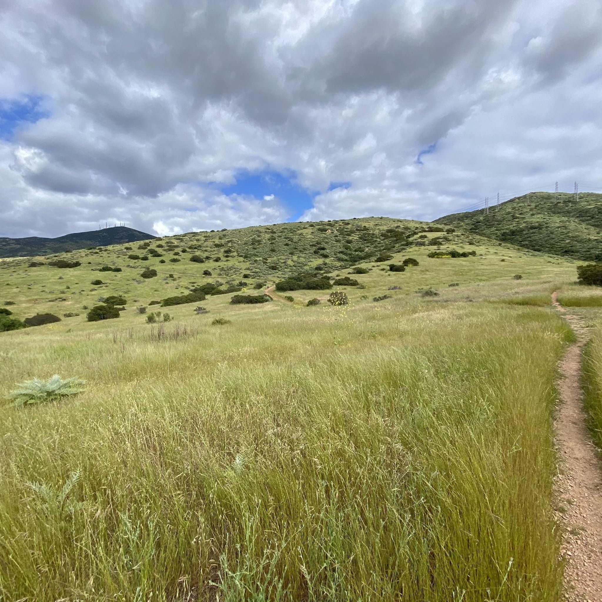
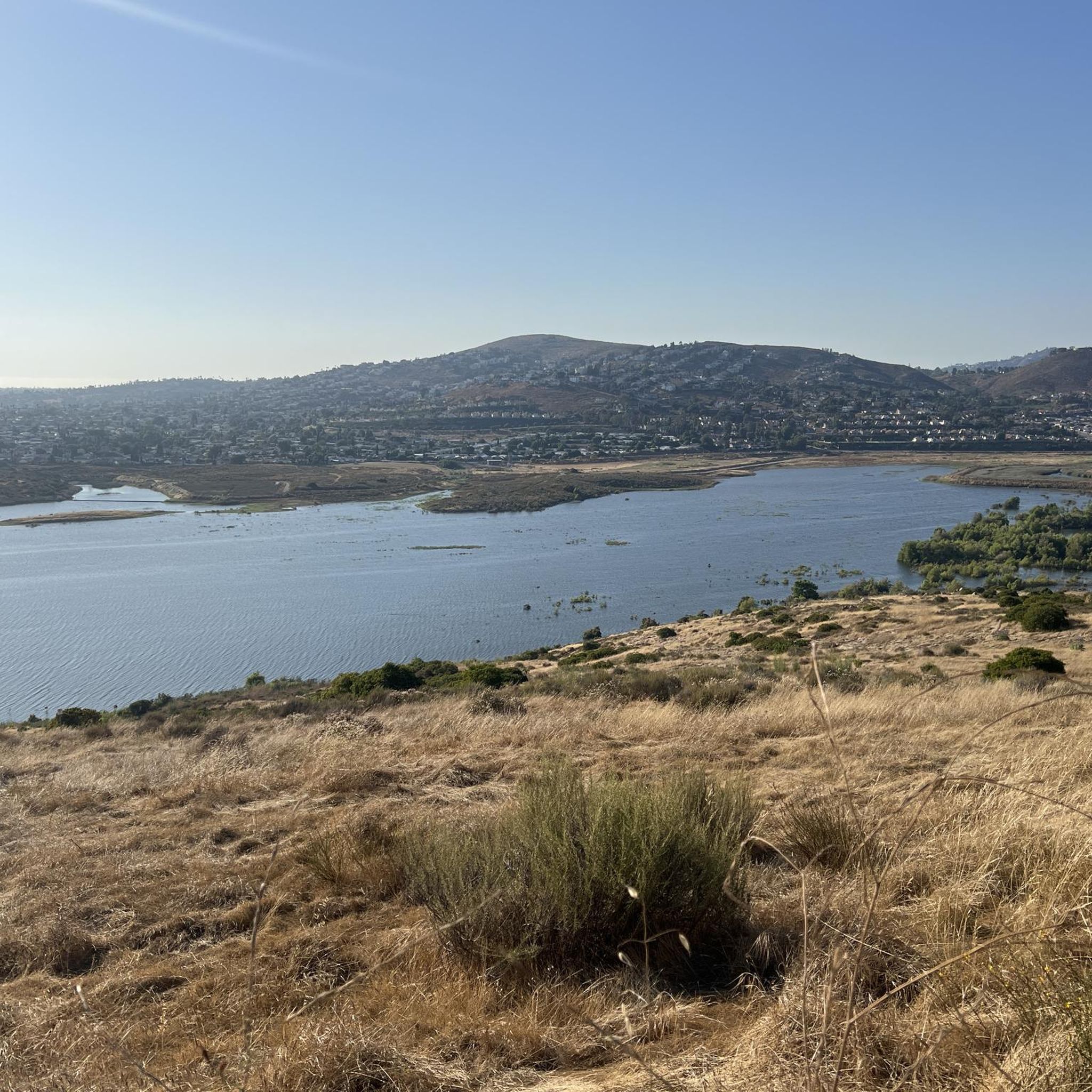
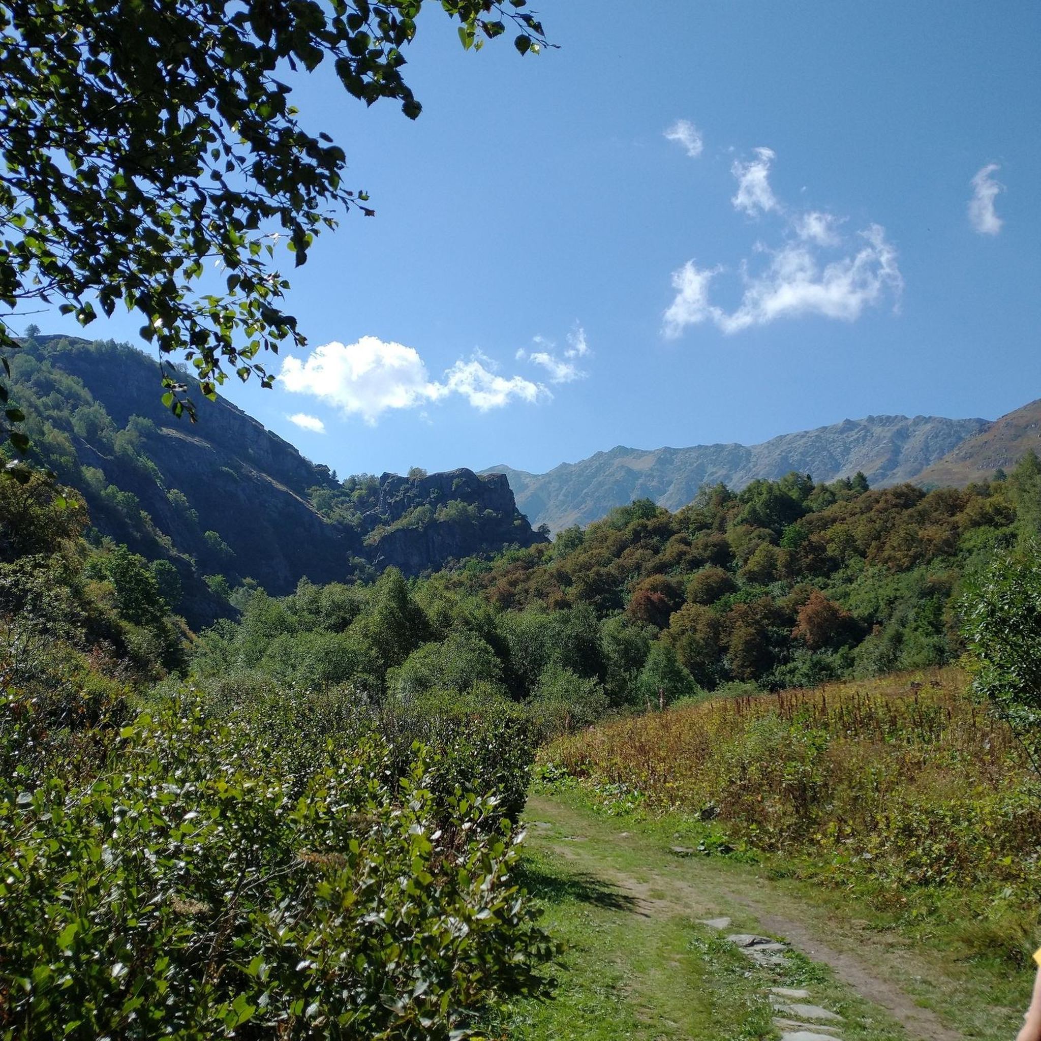
The paths around Sweetwater Reservoir are primarily well-worn dirt, with most junctions clearly signed, though some of the less frequented routes can become overgrown. As you near San Miguel Mountain, the terrain becomes increasingly rugged and challenging, while open views of the reservoir and surrounding hills remain a constant backdrop.
1
0

San Diego National Wildlife Refuge encompasses diverse habitats across 3,920 acres, providing a sanctuary for native plants and wildlife. Visitors can explore its trails, promoting conservation awareness and appreciation.
0
0

Sweetwater Reservoir is a man-made lake created by the Sweetwater Dam in 1888. It is a popular location for hiking and you can enjoy awesome scenery and wildlife in the surrounding trails.
2
0
Dictionary Hill is a short summit with an elevation of 565 feet. From the top you can enjoy a panoramic view of Spring Valley and the San Diego area as well as a butterfly ecosystem.
0
0
The Sweetwater Summit Regional Park offers some nice views of the Sweetwater Reservoir and entrance to a couple of hiking trails, picnic areas and campgrounds.
0
0

The trails bordering Sweetwater Reservoir are mostly smooth dirt paths. Most of the intersections are marked, but the lesser used trails get overgrown at times. As you run closer to San Miguel Mountain, the trails get progressively rockier, steeper, and much more technical. All of the trails are pretty open with views of the reservoir and foothills nearly the entire time.
1
0
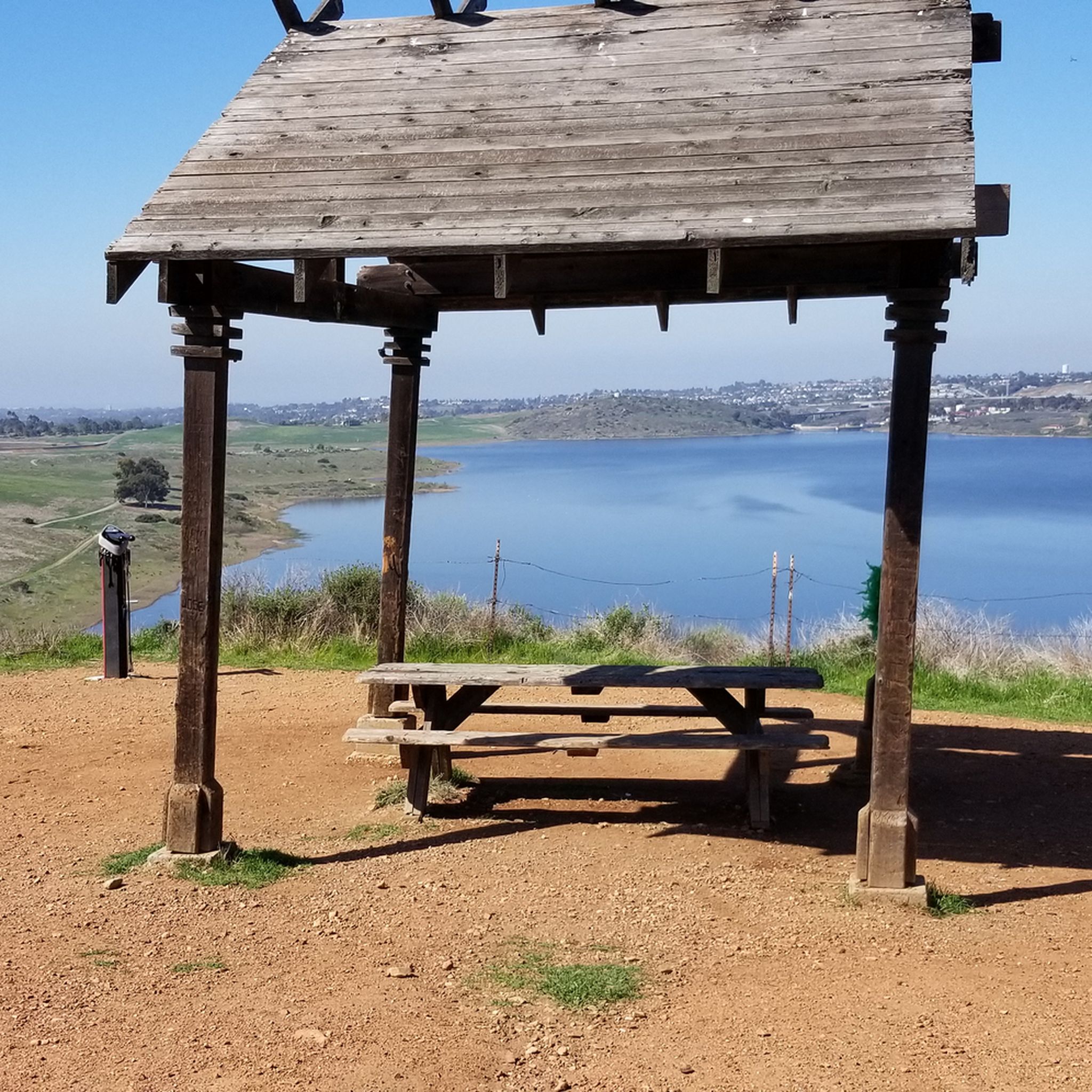
This "Tiki Hut" is really just an awning with a bench overlooking Sweetwater Reservoir. There are a few other benches dispersed on the singletrack trails through the property.
0
0
The Sweetwater Reservoir main entrance includes a campground, restrooms, lots of parking, and numerous picnic areas. There are also a load of intertwined biking and hiking trails that make for great running routes. The area sometimes closes its trails for maintenance and safety reason, so be sure to read all trail signage.
0
0
Frequently Asked Questions
How many hiking trails are available around La Presa?
La Presa offers a diverse selection of over 30 hiking routes. These include 18 easy trails, 14 moderate options, and 2 more challenging paths, catering to various skill levels and preferences.
Are there easy hiking trails suitable for beginners in La Presa?
Yes, La Presa has numerous easy trails perfect for beginners. One popular option is the Sweetwater Park Trail, an easy 3.2-mile (5.1 km) path that winds gently alongside the Sweetwater River. Another accessible choice is the Sweetwater River Trail loop — San Diego National Wildlife Refuge, a 2.2-mile (3.6 km) route through riverine landscapes.
What kind of views or landmarks can I expect to see on hikes in La Presa?
Hiking in La Presa offers scenic vistas of rolling hills and protected wildlife areas. You can find notable viewpoints and landmarks such as the Mother Miguel Mountain Summit Rockhouse, which provides panoramic views. Other highlights include View from Cowles Mountain and Mount Helix, both offering expansive outlooks over the surrounding landscape.
Are there any circular hiking routes in La Presa?
Yes, La Presa features several circular routes. A notable option is the Sweetwater Reservoir loop via Sweetwater Summit Regional Park — San Diego National Wildlife Refuge, a moderate 5.8-mile (9.4 km) trail. Another is the Snake Trail and Rice Canyon Trail loop — Discovery Park, an easy 4.4-mile (7.0 km) loop.
What do other hikers say about the trails in La Presa?
The trails in La Presa are highly regarded by the komoot community, holding an average rating of 4.6 out of 5 stars from over 120 reviews. Hikers often praise the varied terrain, from gentle park walks to moderate climbs, and the beautiful natural settings within the wildlife refuge.
Are the hiking trails in La Presa family-friendly?
Many trails in La Presa are suitable for families, especially the easier routes. The Sweetwater Park Trail is a great choice for a gentle family outing, offering a pleasant walk alongside the river. The area's parks and natural reserves provide accessible options for all ages.
Is there parking available near the trailheads in La Presa?
While specific parking details vary by trailhead, many of the popular hiking areas in La Presa, particularly those within local parks and the San Diego National Wildlife Refuge, offer designated parking facilities. It's advisable to check specific route information on komoot for detailed parking guidance before your visit.
What is the best time of year to go hiking in La Presa?
La Presa, being part of the San Diego metropolitan area, generally enjoys mild weather year-round. Spring and fall offer particularly pleasant conditions with comfortable temperatures. Winter hikes are also feasible due to the mild climate, while summer can be warm, making early morning or late afternoon hikes preferable.
Are there any trails in La Presa that lead to a summit or offer significant elevation gain?
Yes, for those seeking elevation and rewarding views, the Rock House Trail to Mother Miguel Mountain — San Diego National Wildlife Refuge is an excellent choice. This moderate 4.3-mile (7.0 km) route involves a significant climb of over 260 meters, culminating in panoramic views from the summit.
Can I bring my dog on the hiking trails in La Presa?
Many trails in the La Presa area, particularly within the San Diego National Wildlife Refuge and local parks, are dog-friendly. However, regulations can vary, so it's always best to check specific trail rules and ensure your dog is on a leash. The Sweetwater Park Trail is generally a good option for walks with canine companions.
What are the typical trail conditions like in La Presa?
Trails in La Presa often traverse varied terrain, including river paths and elevated areas. You can expect well-maintained paths in parks and more natural, unpaved surfaces within the San Diego National Wildlife Refuge. The region's rolling hills contribute to diverse conditions, from flat stretches to moderate inclines.
Most popular attractions around La Presa

Get inspired with the komoot mobile app


Explore more
Browse the best Hikes in other regions.
