The best road cycling routes around Elizabeth Lake
95
riders
9
rides
Road cycling routes around Elizabeth Lake in Los Angeles County, California, traverse a landscape shaped by the San Andreas Fault and the Sierra Pelona Mountains. This area features varying terrain, from well-paved roads to more challenging unpaved segments, offering diverse cycling experiences. The region is characterized by scenic canyons, open expanses, and can include vibrant wildflower blooms during certain seasons. Road cyclists can explore routes that wind through this geologically active and mountainous environment.
Best road cycling routes around Elizabeth…
Last updated: May 17, 2026
13
riders
96.7km
04:47
1,350m
1,350m
Hard road ride. Very good fitness required. Some segments of this route may be unpaved and difficult to ride.
21
riders
118km
05:32
1,450m
1,450m
Hard road ride. Very good fitness required. Mostly well-paved surfaces and easy to ride.

Sign up for free
11
riders
77.4km
04:08
1,400m
1,400m
Hard road ride. Very good fitness required. Mostly well-paved surfaces and easy to ride.
19
riders
96.1km
04:40
1,330m
1,330m
Hard road ride. Very good fitness required. Mostly well-paved surfaces and easy to ride.
11
riders
75.1km
03:10
430m
430m
Moderate road ride. Good fitness required. Mostly well-paved surfaces and easy to ride.
Get access to more routes and recommendations from other explorers.
Sign up for free
Already have an account?
Our route recommendations are based on thousands of hikes, rides, and runs completed by other people on komoot.
Start today with a free account
Your next adventure awaits.
Login or Signup
Popular around Elizabeth Lake
Tips from the Community

From this spot just off of the San Francisquito Creek Trail in Santa Clarita, CA, you get fantastic open views down the valley across the grasslands and of the powerlines. This is a nice place to stop and sip some water or snap a photo before continuing on your ride.
0
0

The San Francisquito Creek Trail travels through various parks and across different bridges on the banks of the Santa Clara River and San Francisquito Creek. The path is completely paved and goes on both sides of the creek, giving you the chance to run or cycle a loop depending on what trailhead you start at.
0
0

At about 84 miles long, the Santa Clara River is the largest natural river system in southern California remaining in a relatively undeveloped state. Along its length there is the 8 mile long Santa Clara River Trail, which is a paved bicycle and walking path in the city of Santa Clarita.
0
0
Central Park is often considered Santa Clarita's “crown jewel.” There is a 5k cross country running trail that is also open to bikers, dogs, and walkers when there aren't meets being held. There are also gardens and sporting fields at the main upper entrance of the park.
0
0
The San Francisquito Creek Trail travels through various parks and across different bridges on the banks of the Santa Clara River and San Francisquito Creek. The path is completely paved and goes on both sides of the creek, giving you the chance to run a loop depending on what trailhead you start at.
0
0

The Iron Horse Bridge is an old railway bridge that has now been turning into a pedestrian bridge. It is part of the South Fork River Trail and takes users over the Santa Clara River.
1
0

Lancaster is a twin city with its southern neighbor Palmdale; together they are the major cities in the Antelope Valley region. The city is separated from the Los Angeles Basin by the San Gabriel Mountains to the south and from Bakersfield and the San Joaquin Valley by the Tehachapi Mountains to the north. Lancaster's origins as a settlement date back to the Southern Pacific Railroad replacing stagecoach routes. The railway built a station house, a locomotive trough, accommodation for section troops and track systems on the site of today's city center. In 1876, the Southern Pacific Railroad completed the route through Antelope Valley connecting San Francisco to Los Angeles
0
0
San Francisquito Canyon South via Pacific Crest Trail is a 6.5 mile return trail located near Santa Clarita, California that offers the chance to see wildlife and is rated as moderate. The trail is primarily used for hiking, walking, running, and nature trips.
0
2
Frequently Asked Questions
What types of road cycling routes can I find around Elizabeth Lake?
The Elizabeth Lake area in Los Angeles County, California, offers a variety of road cycling routes, primarily characterized by mountainous terrain and canyon roads. You'll find options ranging from moderate to difficult, with varying surface conditions. The landscape is shaped by the San Andreas Fault and the Sierra Pelona Mountains, providing diverse and scenic rides.
Are there challenging road cycling routes for experienced riders?
Yes, the region is well-suited for experienced road cyclists seeking a challenge. Many routes feature significant elevation gain and cover long distances. For instance, the Lake Elizabeth Loop is a difficult 60.1-mile (96.7 km) route with extensive views, typically taking over 4 hours. Another demanding option is the Iron Horse Bridge – Santa Clara River loop from Santa Clarita, a 73.2-mile (117.9 km) path with substantial climbing through canyons.
Are there any moderate or less strenuous road cycling routes available?
While many routes are challenging, there are moderate options available. The West Lancaster Boulevard – Lake Elizabeth loop from Lancaster is a moderate 46.7-mile (75.1 km) route that offers a less intense experience compared to the more mountainous loops, with significantly less elevation gain.
What is the best time of year for road cycling around Elizabeth Lake?
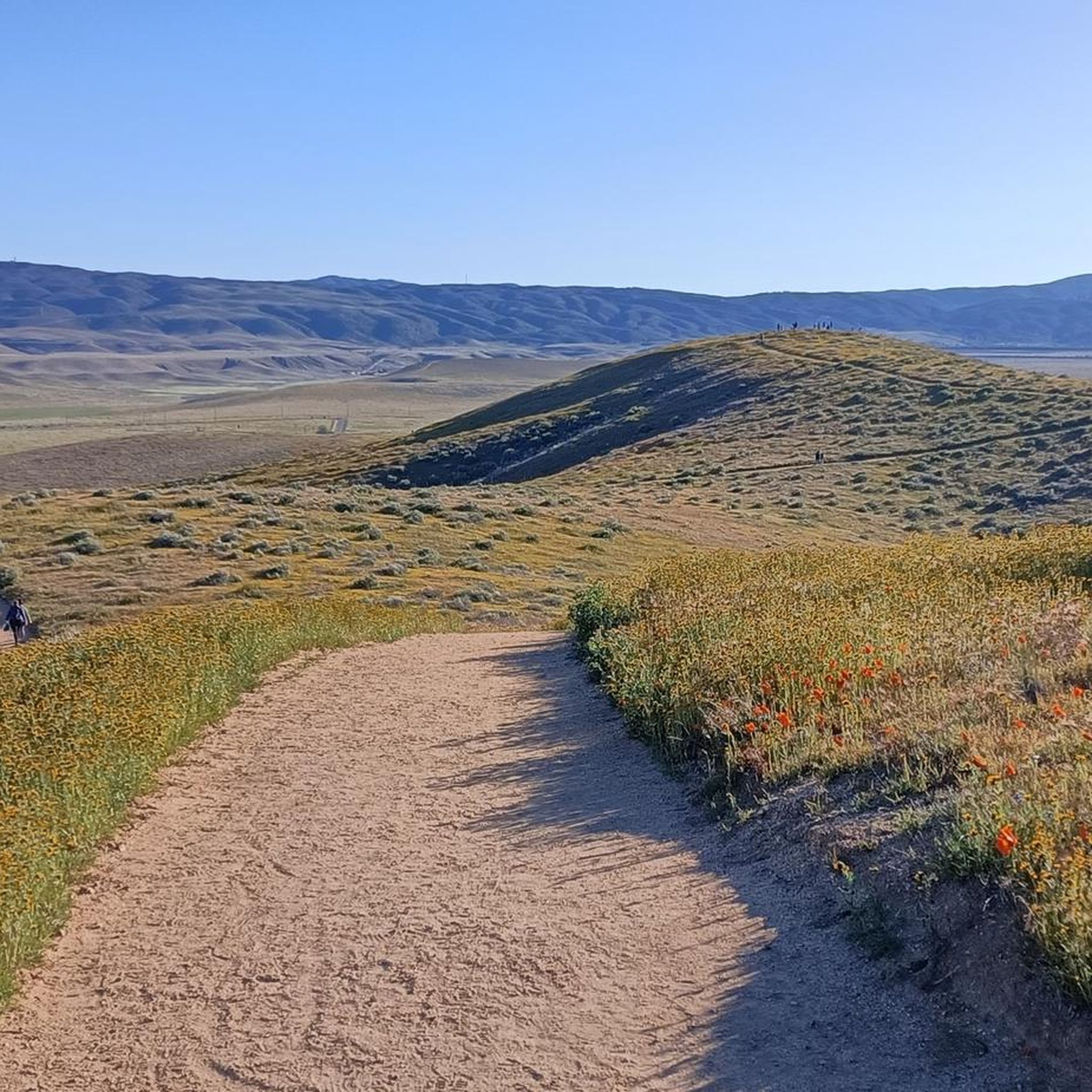
The Elizabeth Lake area can be enjoyed for road cycling during many seasons. However, spring is particularly notable for vibrant wildflower blooms, especially California poppies, adding extra beauty to the scenic routes. Given its location in Southern California, mild temperatures generally make it accessible for much of the year, though summer can be hot and winter may bring cooler, potentially wet, conditions.
What kind of scenic viewpoints or attractions can I expect along the road cycling routes?
The routes around Elizabeth Lake offer diverse natural scenery, including views of the Sierra Pelona Mountains and the unique geological features shaped by the San Andreas Fault. You might encounter scenic canyons and open expanses. Specific points of interest include various Pacific Crest Trail trailheads, such as the Lake Hughes Rd - PCT Trailhead & water cache and the Pacific Crest Trail Trailhead – San Francisquito Canyon Road. The San Francisquito Canyon Road itself is a scenic route with historical significance.
Are there circular road cycling routes around Elizabeth Lake?
Yes, many of the popular road cycling routes around Elizabeth Lake are designed as loops. Examples include the Lake Elizabeth Loop, the Lake Elizabeth – San Francisquito Canyon Road loop from Castaic, and the San Francisquito Canyon Road – Spunky Canyon loop from Santa Clarita. These loops allow you to experience the diverse terrain without retracing your path.
How long do the road cycling routes typically take to complete?
The duration varies significantly based on the route's length and difficulty. For example, the Lake Elizabeth Loop, a difficult 60.1-mile route, typically takes around 4 hours and 47 minutes. A slightly shorter but still difficult route like the Lake Elizabeth – San Francisquito Canyon Road loop from Castaic (48.1 miles) can be completed in about 4 hours and 8 minutes.
Is public transport available to reach the road cycling trails near Elizabeth Lake?
Public transport options directly to the more remote road cycling trailheads around Elizabeth Lake in Los Angeles County are limited. Most cyclists typically access these routes by car, often parking in nearby towns or designated areas along the routes. Planning for personal vehicle transport is generally recommended for convenience.
What are the road conditions like on the routes around Elizabeth Lake?
Road cycling around Elizabeth Lake involves varying surface conditions. While many segments are well-paved and suitable for road bikes, some more challenging routes or sections may include unpaved portions. It's advisable to check specific route details on komoot for the most up-to-date information on surface conditions before heading out.
Are there any less crowded road cycling options for a more peaceful ride?
Given the extensive network of routes through canyons and mountainous areas, it's possible to find less crowded sections, especially on longer or more challenging routes away from main thoroughfares. Exploring routes like the San Francisquito Canyon Road – Spunky Canyon loop from Santa Clarita might offer a more solitary experience compared to more popular, shorter loops.
Are there any facilities like cafes or rest stops along the road cycling routes?
The road cycling routes around Elizabeth Lake often traverse more rural and natural areas within the Sierra Pelona Mountains and Angeles National Forest. While there might be small towns or communities with amenities along some routes, dedicated cafe stops directly on the trails are not as common as in urban areas. It's recommended to carry sufficient water and snacks, and plan your stops in advance using the route details on komoot.
Most popular routes around Elizabeth Lake
Most popular attractions around Elizabeth Lake

Get inspired with the komoot mobile app


Explore more
Browse the best Road cycling routes in other regions.
