The best running trails around Carnelian Bay
450
runners
66
runs
Jogging routes around Carnelian Bay offer diverse terrain for runners of all levels. The region is characterized by its proximity to Lake Tahoe, providing opportunities for lakeside running and trails that ascend into the surrounding forested hills. Runners can expect a mix of well-maintained paths and more challenging mountain trails, often with views of the lake and dense pine forests. The landscape features varied elevation changes, from gentle slopes to more significant climbs.
Best jogging routes around Carnelian Bay
- The…
Last updated: May 11, 2026
9
runners
4.60km
00:40
210m
210m
The Tahoe Rim Trail to Picnic Rock offers a moderate jogging experience through beautiful mixed pine forests. You will cover 2.9 miles (4.6 km) with an elevation gain of 683…
2
runners
12.5km
01:42
380m
380m
Jog the difficult 7.8-mile Tahoe Rim Trail from Brockway Summit to Gold Star Peak, gaining 1234 feet with panoramic Lake Tahoe views.

Sign up for free
16.2km
02:04
540m
540m
Jog the Martis Peak Loop via Tahoe Rim Trail for a difficult 10-mile route with 1762 feet of elevation gain and panoramic Lake Tahoe views.
3.99km
00:28
50m
50m
Easy 2.5-mile (4.0 km) jogging loop in North Tahoe Regional Park, offering shaded forests and lake views.
4.81km
00:33
50m
50m
Jog the 3.0 miles (4.8 km) Pam Emmerich Memorial Pinedrop Trail Loop, a difficult route with 158 feet (48 metres) of gain in North Tahoe Reg
Get access to more routes and recommendations from other explorers.
Sign up for free
Already have an account?
Our route recommendations are based on thousands of hikes, rides, and runs completed by other people on komoot.
Start today with a free account
Your next adventure awaits.
Login or Signup
Tips from the Community

Mantis Peak Road is a paved road ending at Mantis Peak Lookout. Another way to get to the peak is via the Tahoe Rim Trail. This path is not only used by runners but also by bikers, hikers, and cars, so keep your head on a swivel.
0
0
The Pam Emmerich Memorial Pinedrop Trail is a trail that starts at North Tahoe Regional Park and ends at Pinedrop Lane. It is paved and makes for a smooth run.
0
0

The Tahoe Rim Trail is a 170-mile-long trail that circles Lake Tahoe. It is a popular route, so there is a good chance you will see others out enjoying the trails.
0
0
North Tahoe Regional Park is a popular spot for hiking, running and mountain biking, with many trails to choose from. There are also two playgrounds, picnic areas and restrooms.
1
0

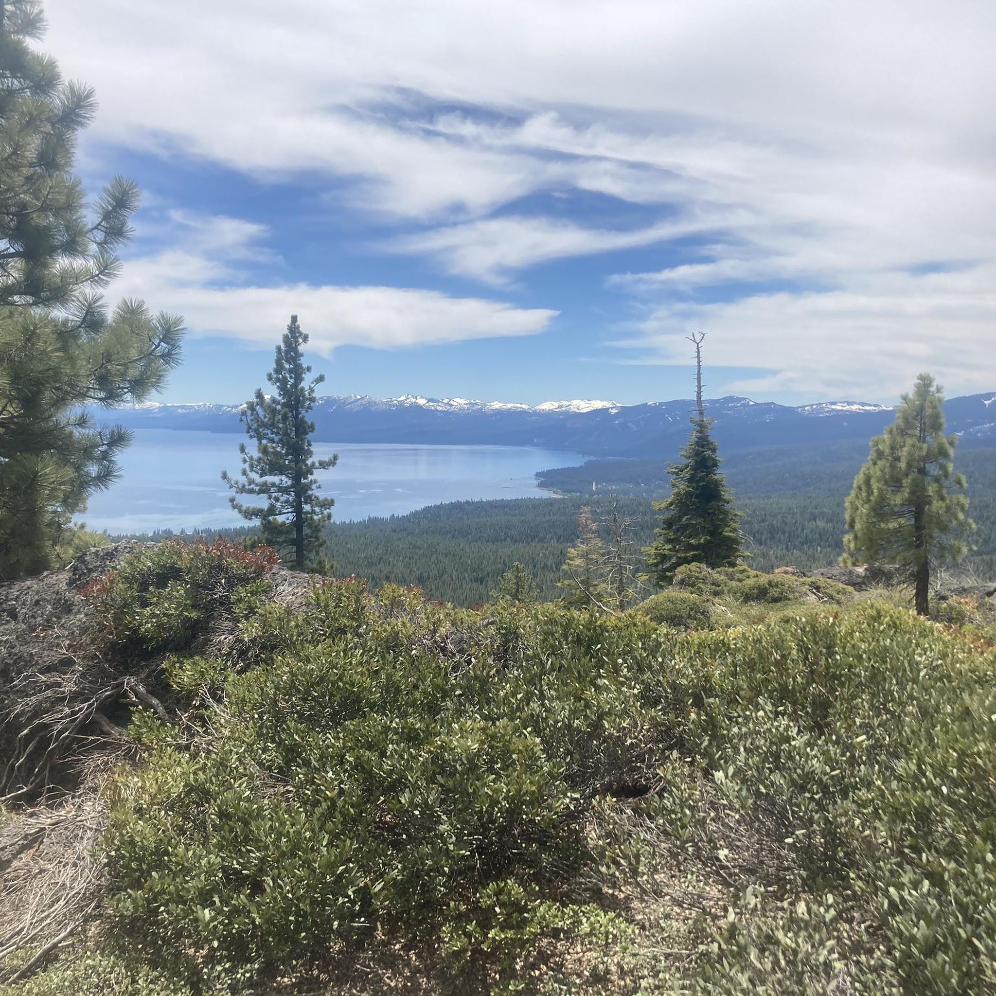
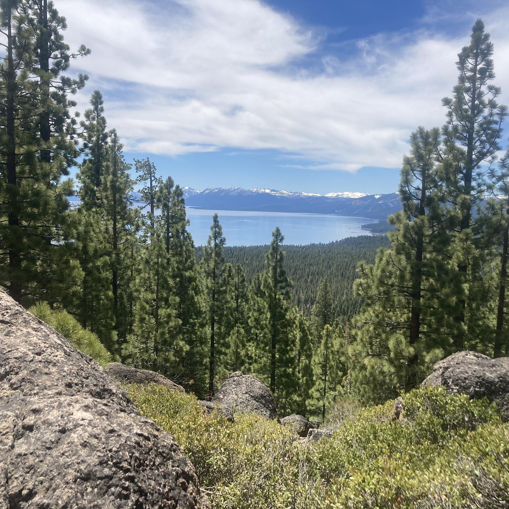
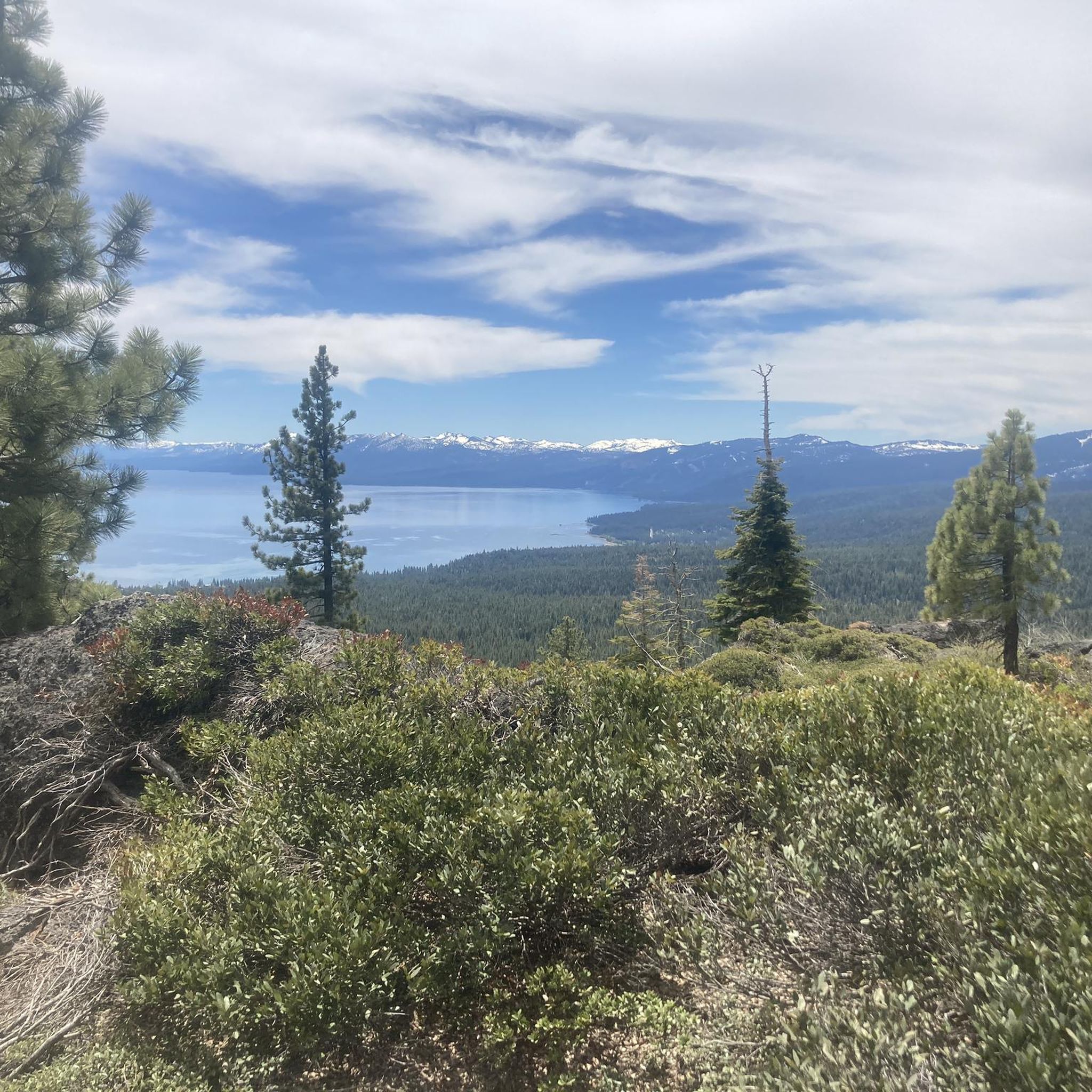
On this beautiful section between Watson Lake and Brockway Summit, the trail winds between meadows and forests. A few openings between the trees allow you to admire Lake Tahoe below.
0
0
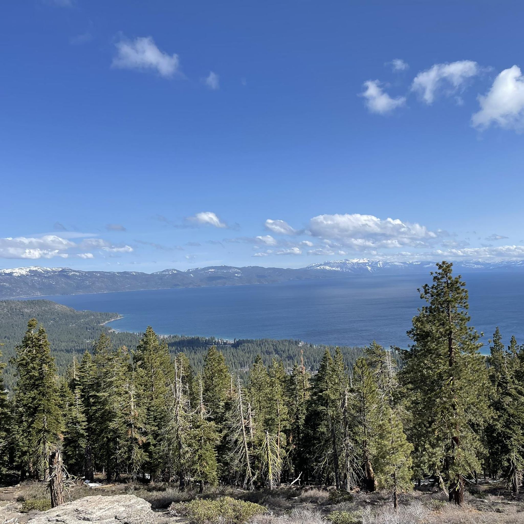
Mantis Peak Lookout is the spot of a fire lookout built in 1914. There are several routes up to the top and are definitely worth the effort for the great views from the lookout.
1
0
From Picnic Rock, we have an incredible view of Lake Tahoe! It's a really nice spot, perfect for a short break.
0
0
Mantis Peak is at an elevation of 8,700 feet, so the ride up can get riders quite winded at this elevation. Staying hydrated is important. The Mantis Peak Lookout is here with the best view, but continue on the Mantis Peak Summit Path, just about 150 feet east, where the technical summit sits.
0
0
Frequently Asked Questions
How many running routes are available in Carnelian Bay?
Carnelian Bay offers a wide selection of running routes, with over 60 different trails to explore. These routes cater to various skill levels, from easy jogs to more challenging long-distance runs.
Are there easy running routes suitable for beginners in Carnelian Bay?
Yes, Carnelian Bay has several easy running routes perfect for beginners or those looking for a relaxed jog. One excellent option is the North Tahoe Regional Park loop, an easy 2.5-mile path through a well-maintained park environment.
Where can I find longer or more challenging running trails in Carnelian Bay?
For runners seeking a greater challenge, Carnelian Bay offers numerous difficult routes. Consider the Tahoe Rim Trail: Brockway Summit to Gold Star Peak, which spans over 7.7 miles with significant elevation changes. Another demanding option is the Martis Peak Loop via Tahoe Rim Trail, covering approximately 10 miles.
Which running routes offer the best scenic views of Lake Tahoe?
Many routes in Carnelian Bay provide stunning lake views. The Tahoe Rim Trail to Picnic Rock is a popular choice, offering scenic vistas along a segment of the renowned Tahoe Rim Trail, leading to the beautiful Picnic Rock viewpoint.
Are there any loop trails for jogging in the area?
Yes, loop trails are a great way to experience the diverse landscape without retracing your steps. The North Tahoe Regional Park loop is an easy option, while the Pam Emmerich Memorial Pinedrop Trail Loop offers a slightly more challenging experience through pine forests.
What kind of natural attractions can I see along the running routes?
Carnelian Bay's running routes are rich with natural beauty. You can encounter highlights like the Picnic Rock viewpoint, the serene Watson Lake Campground, and sections of the Truckee River Trail. Many trails also wind through dense pine forests, offering a refreshing natural environment.
Is Carnelian Bay suitable for family-friendly running or walking?
Absolutely. Routes like the North Tahoe Regional Park loop are generally flat and well-maintained, making them ideal for families with children or those pushing strollers. The park environment provides a safe and enjoyable setting.
Can I bring my dog on the running trails in Carnelian Bay?
Many trails in the Lake Tahoe area, including those around Carnelian Bay, are dog-friendly, but it's crucial to keep your dog on a leash and clean up after them. Always check specific trail regulations before heading out, as rules can vary, especially in protected areas.
What is the best season for running in Carnelian Bay?
The best season for running in Carnelian Bay is typically late spring through early fall (May to October) when the weather is mild and trails are clear of snow. Summer offers warm temperatures perfect for lake activities after a run, while fall brings beautiful foliage. Winter running is possible but requires appropriate gear for snow and ice.
Are there any hidden gem running routes in Carnelian Bay?
While many routes are well-known, exploring the less-trafficked sections of the Tahoe Rim Trail or venturing into the Forest Trail in Burton Creek State Park can reveal quieter, equally beautiful running experiences away from the main crowds.
How can I access the running trails, and is parking available?
Access to running trails in Carnelian Bay often involves driving to trailheads. Many popular trailheads, such as those for the Tahoe Rim Trail segments or North Tahoe Regional Park, typically have designated parking areas. It's advisable to arrive early during peak seasons to secure a spot.
Are there any running routes that pass by cafes or places to get refreshments?
While many routes in Carnelian Bay are immersed in nature, some trails are close enough to the town center or specific parks where cafes and eateries are accessible. For example, routes near North Tahoe Regional Park might offer options within a short distance, allowing for a post-run coffee or snack.
Most popular routes around Carnelian Bay
Most popular attractions around Carnelian Bay

Get inspired with the komoot mobile app


Explore more
Browse the best Running Trails & Routes in other regions.
