The best road cycling routes around Carnelian Bay
4.5
(16)
1,547
riders
24
rides
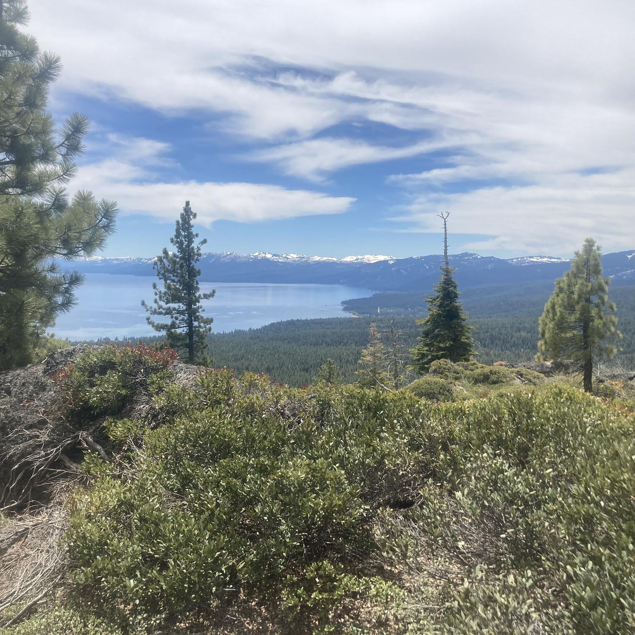
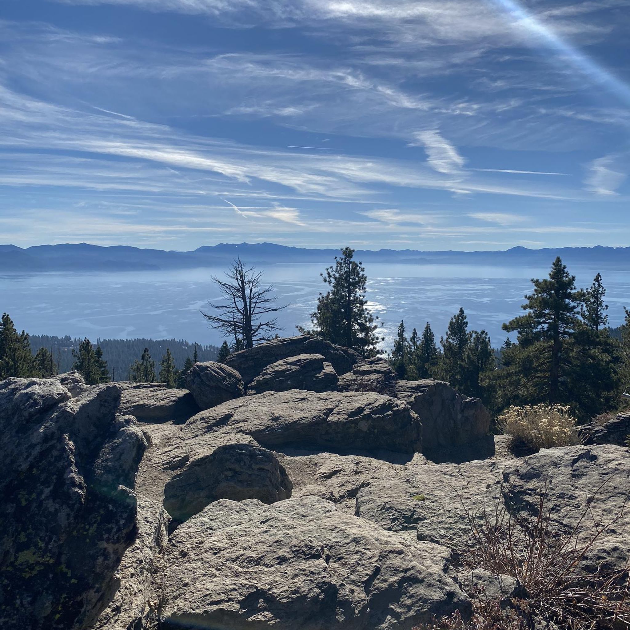
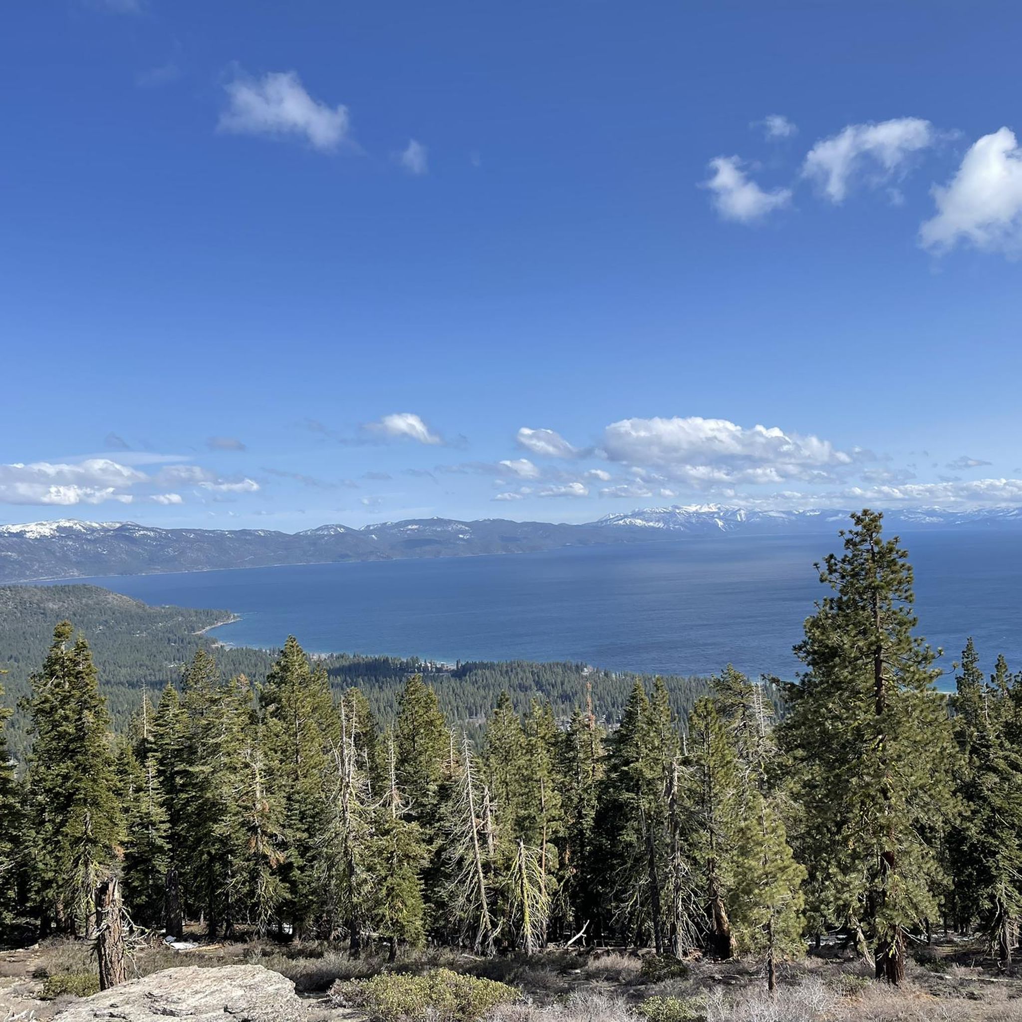
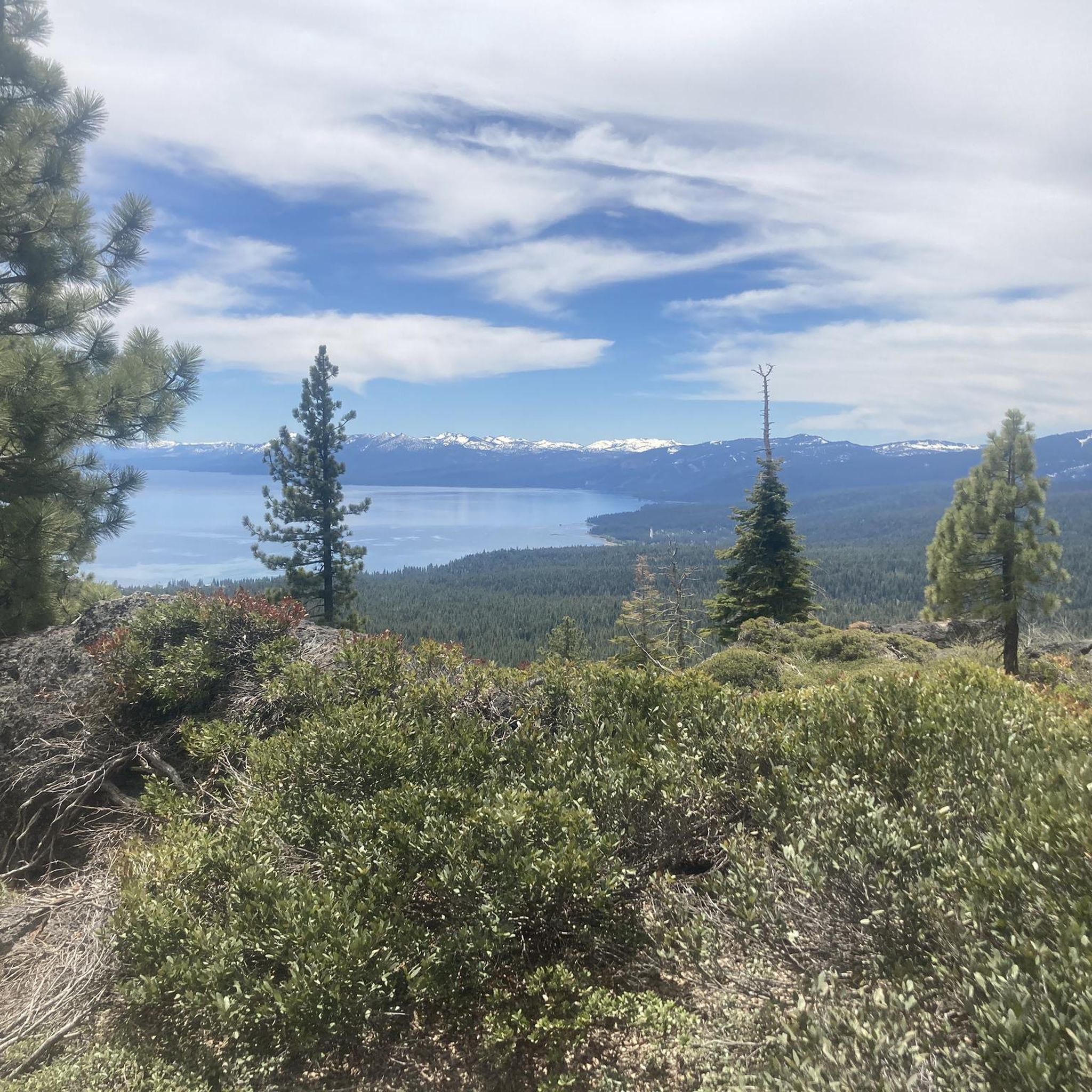
Road cycling routes around Carnelian Bay offer diverse terrain along the North Shore of Lake Tahoe. The region features well-paved surfaces, towering pine trees, and mountainous backdrops, providing a picturesque setting for rides. Cyclists encounter varying elevation gains, from gentle slopes to challenging climbs, with some routes including unpaved sections. The landscape is characterized by the clear waters of Lake Tahoe and surrounding forests.
Best road cycling routes around Carnelian Bay
- The most popular road cycling route is Lookout Mountain…
Last updated: October 25, 2026
5.0
(3)
137
riders
64.6km
02:55
660m
670m
Embark on the Lookout Mountain loop, a moderate racebike route spanning 40.1 miles (64.6 km) with a significant elevation gain of 2174 feet (663 metres). You can expect to complete…
4.8
(4)
161
riders
74.2km
03:07
480m
480m
Moderate road ride. Good fitness required. Some segments of this route may be unpaved and difficult to ride.

5
riders
65.9km
04:00
1,020m
1,020m
Hard road ride. Very good fitness required. Some segments of this route may be unpaved and difficult to ride.
25
riders
53.3km
02:32
560m
560m
Moderate road ride. Good fitness required. Mostly well-paved surfaces and easy to ride.
14
riders
23.2km
00:58
150m
150m
Easy road ride. Mostly well-paved surfaces and easy to ride.
Get access to more routes and recommendations from other explorers.
Already have an account?
Our route recommendations are based on thousands of hikes, rides, and runs completed by other people on komoot.
Start today with a free account
Your next adventure awaits.

Tips from the Community

The Tahoe Rim Trail crosses the 121-mile-long Truckee River. Stare down into the crystal clear, cold water. Truckee River is the only outlet of Lake Tahoe, and it empties into Pyramid Lake, creating an Truckee River is the only outlet of Lake Tahoe and it empties into Pyramid Lake creating an endorheic (closed) basin. (closed) basin.
0
0

Very Nice and Easy trail for all, ride it from Tahoe City all the way to Palisades if you like. beautiful scenery and views along the Truckee River.
0
0

Truckee Downtown has lots of character, bars, restaurants and a bus station. If you want to stay in Truckee, this is also the location to go. The post office is just around the corner. The trolley system will take you to the grocery shopping district for free.
0
0
Pole Creek Road Trailhead is on Tahoe River Road and has a small area for parking. The trailhead is right next to Pole Creek, and the Pole Creek Road Trail brings hikers all the way up to the Pacific Crest Trail eventually.
0
0
The end of Kings Beach leads to a rocky outcrop called Hammoc by the lake. There is a small jetty and a nice swimming area in the crystal-clear Tahoe waters.
0
0

The Truckee River Trail is a paved, multiuse trail that runs between Tahoe City and Olympic Valley. The path follows the river which gives the trail its name, so there are great views of the water. The path is also popular with walkers and cyclists, so make sure to look out for other trail users.
1
0
Sawmill Lake is a beautiful lake in the Northstar mountainside. It is popular with fisherman, but apart from that, it is normally a quiet and peaceful spot. It is a great place for a quick break.
1
0
Sherwood Express is the only lift on Alpine Meadows Ski Resort's "backside" or south side. It is usually the last to open and the first to close during the season due to it being the sunniest spot on the mountain. This is the backside entrance to the resort, with only a few parking spots; only the lucky ones will nab them in the morning.
0
0
Frequently Asked Questions
What types of road cycling routes are available in Carnelian Bay?
Carnelian Bay offers a diverse range of road cycling routes, catering to various fitness levels. You'll find everything from easy, mostly paved loops to challenging rides with significant elevation gain. The region features well-maintained roads, towering pine trees, and stunning views of Lake Tahoe, with some routes even including unpaved sections for an added challenge. Overall, there are 23 road cycling routes, with 8 easy, 11 moderate, and 4 difficult options.
Are there any easy or family-friendly road cycling routes in Carnelian Bay?
Yes, Carnelian Bay has several easy routes suitable for all fitness levels and family outings. The Tahoe City loop from Dollar Point is an easy 20.9-mile path known for its mostly paved surfaces and scenic views of Lake Tahoe. Additionally, the area boasts numerous paved bike paths, such as those in Tahoe City, Homewood, Tahoma, and Meeks Bay, which are perfect for leisurely rides.
Which routes offer the most challenging road cycling experiences near Carnelian Bay?
For experienced cyclists seeking a challenge, the Lookout Mountain loop is a popular choice. This 40.1-mile route features significant elevation gain, providing a demanding ride. Another difficult option is the North Tahoe Beach – Kings Beach-Crystal Bay loop from Dollar Point, which includes over 1,100 meters of ascent.
What are some notable landmarks or viewpoints I can see while road cycling in Carnelian Bay?
Road cycling routes around Carnelian Bay offer numerous scenic viewpoints and landmarks. You can experience spectacular views of Lake Tahoe, especially when passing through Brockway Summit. Other points of interest include Painted Rock and Mantis Peak Lookout. The Sand Harbor Beach – Lake Tahoe loop from Tahoe Vista also leads through areas with panoramic views and beach access points.
Are there any road cycling routes that offer direct access to Lake Tahoe's shoreline or beaches?
Many routes in Carnelian Bay provide stunning lake views and access to the shoreline. The Sand Harbor Beach – Lake Tahoe loop from Tahoe Vista is a great option, offering panoramic views and beach access. Carnelian West Beach is also a dog-friendly public beach with sandy shores and picnic areas, and the East Shore Trail connects Incline Village to Sand Harbor State Park, featuring panoramic views and beach access points.
What is the best time of year for road cycling in Carnelian Bay?
The best season for road cycling in Carnelian Bay is typically from late spring through early fall. During these months, the weather is generally mild, and the roads are clear of snow, providing ideal conditions for riding. The crystal-clear waters and lush pine forests are particularly beautiful during this period.
Can I find loop trails for road cycling in Carnelian Bay?
Yes, Carnelian Bay features several excellent loop trails for road cyclists. Popular options include the iconic 72-mile Lake Tahoe loop, which Carnelian Bay is strategically located along. Other notable loops are the Lookout Mountain loop and the Lake Tahoe Commons Beach – Tahoe City loop from Carnelian Bay.
What do other road cyclists enjoy most about road cycling in Carnelian Bay?
The road cycling routes in Carnelian Bay are highly rated by the komoot community, with an average score of 4.2 stars from over 8 reviews. Cyclists often praise the stunning lake views, the well-paved surfaces, and the diverse terrain that offers options for all skill levels. The picturesque setting with towering pine trees and mountainous backdrops is frequently highlighted as a major draw.
Are there any dog-friendly options for cycling or nearby activities in Carnelian Bay?
While specific road cycling routes may have restrictions for dogs, Carnelian Bay offers dog-friendly amenities. Carnelian West Beach is a notable dog-friendly public beach where you can enjoy the lakeside with your pet. For other outdoor activities, it's always best to check local regulations for trails and parks regarding pets.
Where can I find parking for road cycling routes in the Carnelian Bay area?
Parking is generally available at various points along the road cycling routes and near popular attractions in the Carnelian Bay area. Many trailheads and public beaches, such as Carnelian West Beach, offer parking facilities. It's advisable to check specific starting points for routes for the most convenient parking options.
What kind of terrain and elevation profiles can I expect on road cycling routes in Carnelian Bay?
Road cycling in Carnelian Bay offers varied terrain. You can expect well-paved surfaces for smooth riding, but some routes may include challenging climbs with significant elevation gain, and occasionally, unpaved sections. The landscape is characterized by the clear waters of Lake Tahoe, towering pine trees, and mountainous backdrops, providing a mix of flat stretches and undulating hills.
Are there any cafes or places to eat near the road cycling routes in Carnelian Bay?
Carnelian Bay and the surrounding North Shore of Lake Tahoe offer various cafes, pubs, and restaurants where you can refuel after your ride. The area is well-equipped with dining options, particularly in towns like Tahoe City, Kings Beach, and Crystal Bay, which are often part of or easily accessible from many road cycling routes.
Most popular attractions around Carnelian Bay

Get inspired with the komoot mobile app


Explore more
Browse the best Road cycling routes in other regions.
