The best road cycling routes around Avocado Heights
4.6
(35)
1,652
riders
48
rides
Road cycling around Avocado Heights offers a diverse network of routes within a semi-rural environment. The topography is generally flat, featuring extensive river greenways like the Rio Hondo and San Gabriel River, which provide protected paths. Distant views of the San Gabriel Mountains enhance the cycling experience. The area's multi-use trails and protected bike lanes cater to various skill levels.
Best road cycling routes in Avocado Heights
- The most popular road cycling route is Bosque del Rio Hondo – Santa…
Last updated: November 10, 2026
4.3
(3)
300
riders
74.5km
03:29
260m
260m
Moderate road ride. Good fitness required. Mostly well-paved surfaces and easy to ride.
150
riders
92.2km
04:36
160m
160m
Moderate road ride. Good fitness required. Mostly well-paved surfaces and easy to ride.

5.0
(2)
61
riders
Easy road ride. Mostly well-paved surfaces and easy to ride.
3.0
(3)
44
riders
44.4km
02:13
80m
80m
Moderate road ride. Good fitness required. Mostly well-paved surfaces and easy to ride.
41
riders
125km
06:21
1,660m
1,660m
Hard road ride. Very good fitness required. Mostly well-paved surfaces and easy to ride.
Get access to more routes and recommendations from other explorers.
Already have an account?
Our route recommendations are based on thousands of hikes, rides, and runs completed by other people on komoot.
Start today with a free account
Your next adventure awaits.


Tips from the Community

The Greenway is a paved two-lane multi-use path, which stretches for over 50 miles along the LA River.
0
0

The Rio Hondo Greenway is a beautiful bike lane that follows the river that gives the trail its name. It is fully paved and flat, so it is not a challenging trail.
0
0
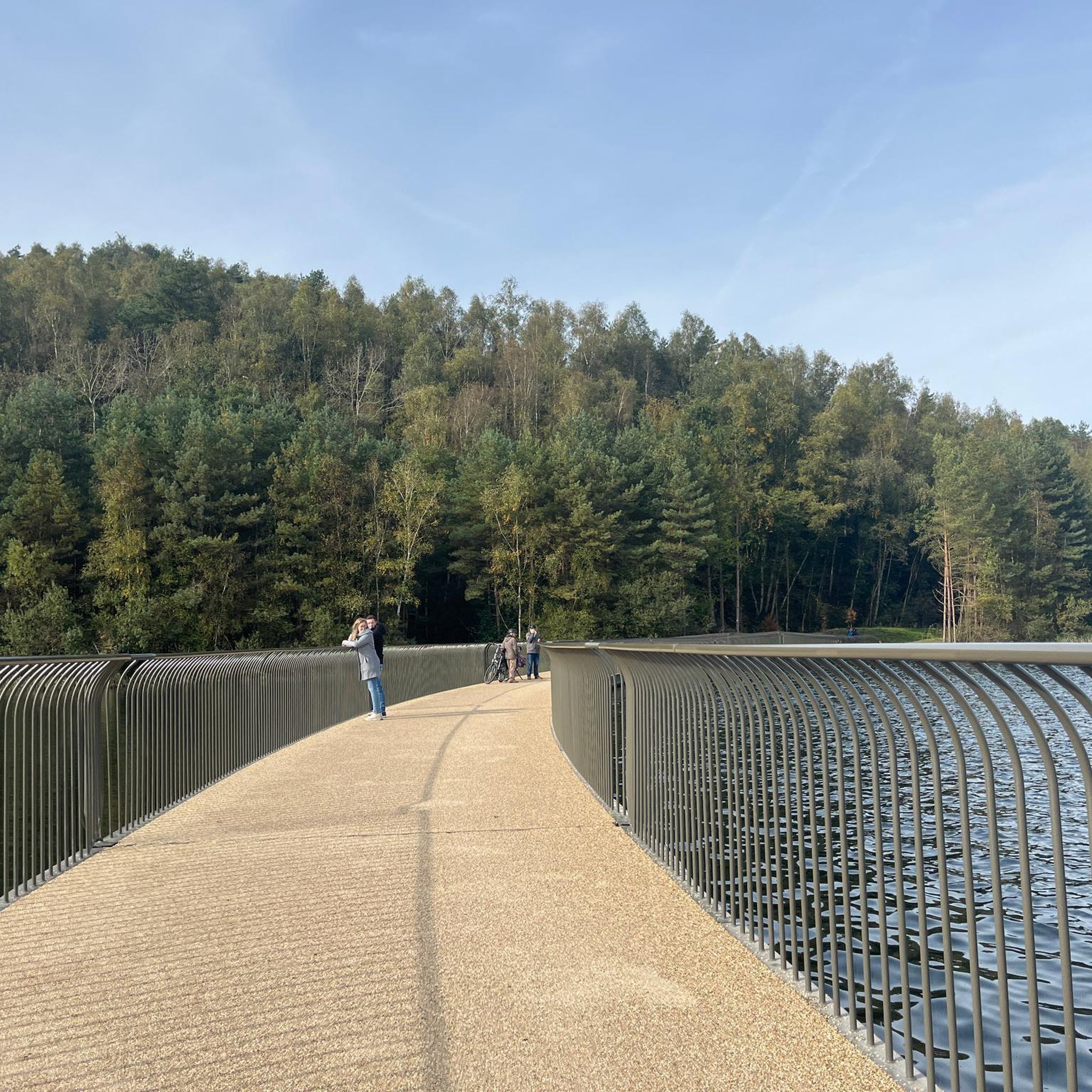
The Rio Hondo Bike Bridge is an interesting structure that connects the bike trails that runs on either side of the Rio Hondo.
0
0
The San Gabriel Dam is a rock‑fill structure completed in 1939 on the San Gabriel River and is used for flood control.
0
0

Rainbow Lagoon has a smooth loop running around it—a paved path with waterfront views. The palm-lined walkways and nearby skyline form the backdrop, with curly bridges and public restrooms along the way. It gets busier on weekends, so for a better spin, try to go early or on a weekday.
0
0

Nice bike path. not much roads to cross. some are hilly but doable for newbies. It's our first time and we had a good time. just some areas are with a lot of homeless people, esp. the tunnels.
0
0
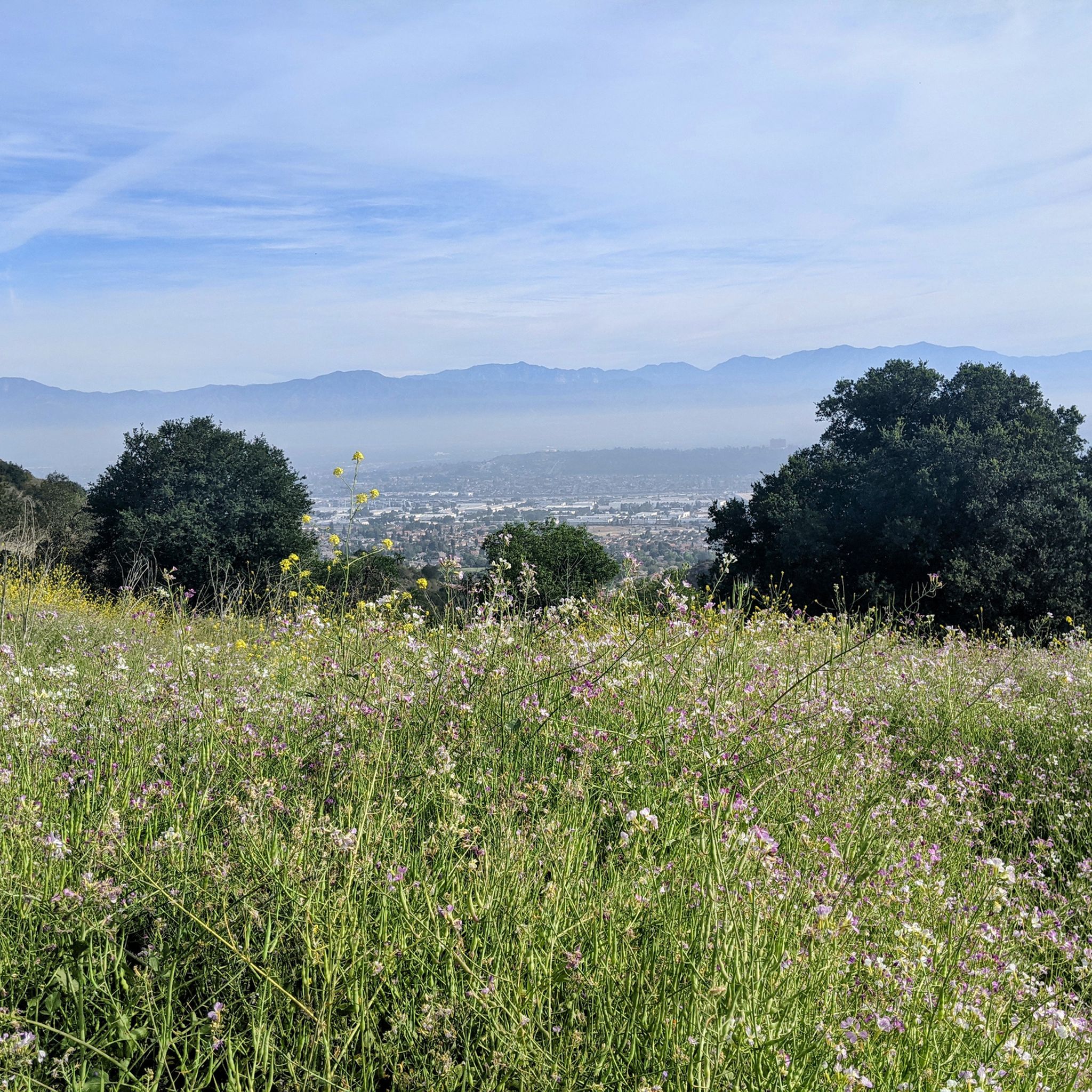
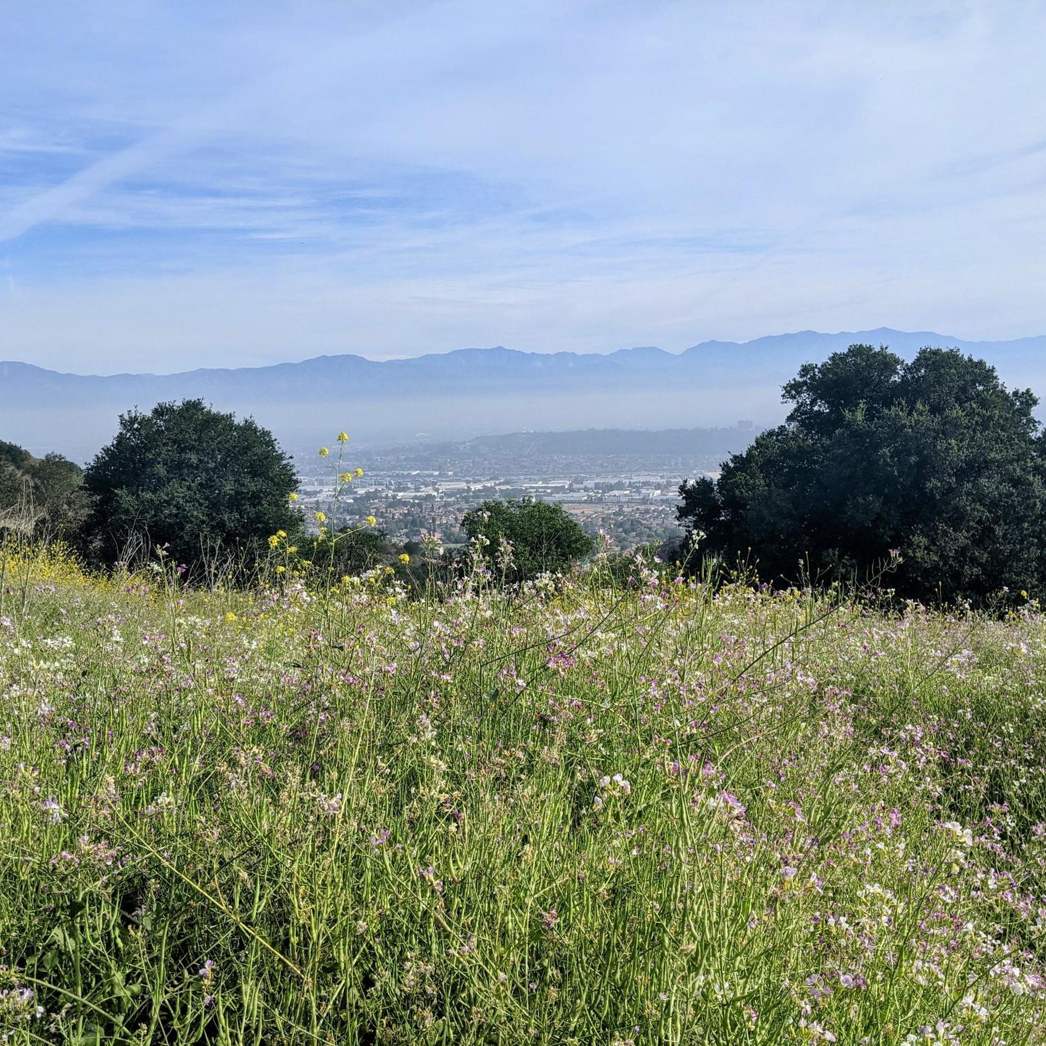
Great view from the cycle path of the San Gabriel Mountains in the distance.
0
0

Frequently Asked Questions
How many road cycling routes are available in Avocado Heights?
Avocado Heights offers a robust network of road cycling routes. You can find over 35 routes, ranging from easy to difficult, to explore the area's diverse landscapes.
What is the general terrain like for road cycling in Avocado Heights?
The region features a generally flat topography, making it ideal for comfortable cycling along extensive river greenways like the Rio Hondo and San Gabriel River. For those seeking more challenge, routes with elevation gains, such as those near Turnbull Canyon, offer panoramic views and a more strenuous ride.
What do other cyclists say about road cycling in Avocado Heights?
The road cycling routes in Avocado Heights are highly rated by the komoot community, with an average score of 4.6 stars from nearly 30 reviews. Cyclists often praise the extensive network of protected paths along the river greenways and the scenic views of the San Gabriel Mountains.
Are there challenging road cycling routes in Avocado Heights?
Yes, while many routes are relatively flat, there are options for experienced riders seeking a challenge. For instance, the Newman Point Overlook – Little Dalton Debris Basin loop from El Monte is classified as difficult, featuring significant elevation changes. Turnbull Canyon also provides a challenging ascent with rewarding vistas.
Are there easy or beginner-friendly road cycling routes in Avocado Heights?
Absolutely. Avocado Heights is well-suited for beginners and those looking for relaxed rides. Many routes follow the flat river greenways, offering protected and scenic paths. An example is the Bosque del Rio Hondo – Rio Hondo Greenway loop from Ferris Road & Durfee Avenue, which is an easy 20.1-mile trail.
What kind of surfaces can I expect on the road cycling trails in Avocado Heights?
The primary road cycling routes, especially along the Rio Hondo Greenway and San Gabriel River Greenway, feature paved surfaces ideal for road bikes. The Avocado Heights Trail itself is a 7.4-mile path composed of decomposed granite, which may be suitable for some road bikes but is generally better for gravel or mountain bikes.
What natural features or attractions can I see while road cycling in Avocado Heights?
Cyclists can enjoy diverse natural features. The routes often follow riparian corridors, offering views of the Bosque del Rio Hondo, a quaint green area abundant with wildlife. You'll also encounter the Santa Fe Flood Control Basin and distant views of the majestic San Gabriel Mountains.
Are there any specific points of interest along the river greenways?
Yes, the river greenways are rich with points of interest. The Bosque del Rio Hondo is a notable forest area directly accessible from the Rio Hondo and San Gabriel River bicycle paths. The San Gabriel River Greenway and Rio Hondo Greenway themselves are key attractions, offering protected cycling through scenic corridors.
Is parking available for road cyclists in Avocado Heights?
Yes, many trailheads and access points for the river greenways offer parking. For example, the Rio Hondo Greenway Loop has designated parking areas, making it convenient to start your ride. Specific parking details can often be found on individual route pages on komoot.
Can I access the road cycling routes using public transportation?
Access to the San Gabriel River Trail and Rio Hondo Greenway is possible via public transportation in some areas. Cyclists can research local bus routes that have stops near major access points or parks that connect to the trail network. However, direct public transport links specifically for cyclists may vary.
Are there family-friendly road cycling routes in Avocado Heights?
Avocado Heights is an excellent area for family-friendly cycling, particularly along the paved river greenways. These multi-use trails are generally flat and protected from traffic, providing a safe and enjoyable environment for riders of all ages. The Bosque del Rio Hondo – Rio Hondo Greenway loop is an easy option suitable for families.
Are there loop routes available for road cycling in Avocado Heights?
Yes, many of the popular road cycling routes in Avocado Heights are designed as loops, allowing for a continuous and varied ride without retracing your path. Examples include the Bosque del Rio Hondo – Santa Fe Flood Control Basin loop and the Bosque del Rio Hondo – Rio Hondo Bike Bridge loop.
What is the best time of year for road cycling in Avocado Heights?
Road cycling in Avocado Heights is enjoyable year-round due to the mild Southern California climate. However, spring and fall offer the most pleasant temperatures, avoiding the hotter summer days. Winter cycling is also a viable option, with generally clear and cool conditions.
Most popular attractions around Avocado Heights

Get inspired with the komoot mobile app


Explore more
Browse the best Road cycling routes in other regions.
