The best road cycling routes around Auburn Lake Trails
4.3
(4)
305
riders
35
rides
Road cycling routes around Auburn Lake Trails navigate a landscape characterized by significant elevation changes, river canyons, and views of the American River. The region features challenging climbs and descents, making it suitable for experienced road cyclists. Terrain includes winding roads through forested areas and open stretches alongside natural waterways.
Best road cycling routes around Auburn Lake Trails
- The most popular road cycling route is North Fork loop, a 63.3 miles (101.9 km) trail that takes 5 hours 40…
Last updated: May 11, 2026
21
riders
102km
05:40
2,180m
2,180m
Cycle the difficult 63.3-mile North Fork loop in Auburn, gaining 7166 feet with stunning views of the American River Canyon.
30
riders
63.0km
03:15
1,070m
1,070m
Hard road ride. Very good fitness required. Mostly well-paved surfaces and easy to ride.

Sign up for free
25
riders
116km
06:23
2,310m
2,310m
Hard road ride. Very good fitness required. Mostly well-paved surfaces and easy to ride.
4.0
(1)
15
riders
90.9km
04:30
1,460m
1,460m
Hard road ride. Very good fitness required. Mostly well-paved surfaces and easy to ride.
21
riders
Hard road ride. Very good fitness required. Mostly well-paved surfaces and easy to ride.
Get access to more routes and recommendations from other explorers.
Sign up for free
Already have an account?
Our route recommendations are based on thousands of hikes, rides, and runs completed by other people on komoot.
Start today with a free account
Your next adventure awaits.
Login or Signup

Tips from the Community

Two trail loops, the North and the Interpretative Loop, at the east of Miners Ravine creek, with a large Trailhead parking off Auborn Road.
1
0
A little east parallel and between road and the the Shirland Canal Trail, Pioneer Express has excellent views into American River Canyon.
1
0

Folsom South Canal is a waterway created by water from the American River that is diverted at the Nimbus Dam.
0
0
From this spot, you can see three bridges that cross the American River. The Rainbow Bridge along Greenback Lane, the Folsom Historic Truss Bridge along the American River Bike Trail, and the bridge along Folsom Boulevard.
0
0
Folsom Historic District is a small area of town that is representative of some of the cultural history of Folsom, dating back to the 1850s. This spot has hundreds of businesses and tons of historical landmarks discussing gold prospectors, the Pony Express, and other notable notches on the city's timeline.
0
0
Two loop trails on either side of the parking area, the North Trail Loop and the Interpretive Trail on the south side, explore the area along Miner's Ravine, which runs just northwest of the Trailhead.
1
0
Auburn's downtown preserved some of its 19th century Western town architecture and flair. After its initial boom during the gold mining period it maintained its seat of courts and benefits from its location at the Sierra Nevada foothills as one of the gateways to a pass across the mountain range. Established in 1849, Auburn that has shops, monuments, museum, restaurants, and more all within walking distance, and hosts several well-known outdoor events.
1
0

Colfax sits at an elevation of 2,400 feet between the grasslands of Central California and the mountains of Tahoe. The town is known for its railroad history and outdoor recreation.
0
0
Frequently Asked Questions
What is the general difficulty level of road cycling routes around Auburn Lake Trails?
Road cycling routes in the Auburn Lake Trails area are primarily suited for moderate to difficult ability levels. The landscape is characterized by significant elevation changes and river canyons, making most routes challenging. There are no easy routes listed in the current selection, so cyclists should be prepared for substantial climbs and descents.
Are there any family-friendly road cycling options near Auburn Lake Trails?
The road cycling routes around Auburn Lake Trails are generally challenging, featuring significant elevation changes and long distances. As such, they are not typically considered family-friendly for casual rides. Most routes are geared towards experienced road cyclists looking for a demanding experience.
What kind of scenery can I expect on road cycling routes in this region?
Cyclists can expect diverse and scenic views, including river canyons, forested areas, and open stretches alongside natural waterways. Many routes offer extensive views of the American River Canyon, and some, like the Folsom Lake – Folsom Dam loop from Auburn-Conheim, provide views of Folsom Lake.
Are there any loop trails for road cycling around Auburn Lake Trails?
Yes, many of the prominent road cycling routes in the area are loops. Examples include the challenging North Fork loop, the demanding American River Canyon – North Fork American River loop from Auburn-Conheim, and the American River Canyon – Colfax Hill loop from Auburn-Conheim.
What are some notable landmarks or points of interest along the road cycling routes?
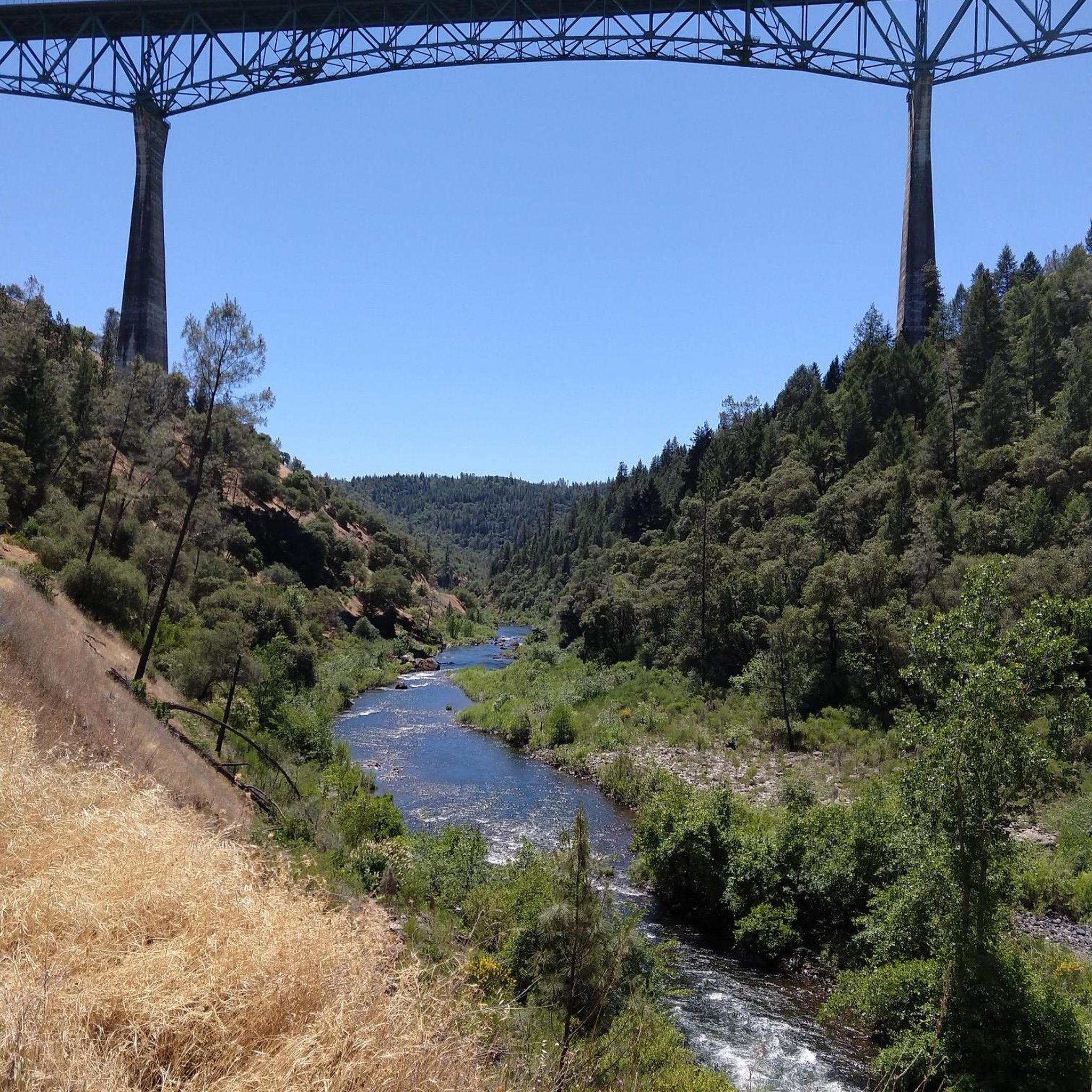
While cycling, you might encounter several interesting landmarks. These include the impressive Foresthill Bridge, the historic Sutter's Mill, and the scenic American River Canyon Overlook Park. The North Fork Dam is another significant sight in the area.
How long do road cycling routes typically take to complete in this area?
The duration varies depending on the route's length and difficulty. For instance, the North Fork loop, at 63.3 miles (101.9 km), typically takes around 5 hours 40 minutes. Shorter routes like the Auburn Triathlon Monument loop from Auburn-Conheim (36.4 km) can be completed in about 1 hour 50 minutes.
What is the best time of year for road biking around Auburn Lake Trails?
The best time for road biking in the Auburn Lake Trails area generally depends on weather conditions. Spring and fall often offer milder temperatures, which are ideal for tackling the significant elevation changes. Summers can be hot, especially in the canyons, so early morning rides are recommended during warmer months.
How many road cycling routes are available in the Auburn Lake Trails area?
There are over 30 road cycling routes available around Auburn Lake Trails, offering a variety of challenging options for experienced cyclists. The network primarily features moderate to difficult routes.
What do other road cyclists say about the routes in Auburn Lake Trails?
The road cycling routes in Auburn Lake Trails are highly rated by the komoot community, with an average score of 4.3 stars. Cyclists often praise the challenging climbs, extensive views of the American River Canyon, and the varied terrain that defines the region's riding experience.
Are there any less strenuous road cycling routes for those looking for a moderate challenge?
While most routes are difficult, there are some moderate options available. The Folsom Lake – Folsom Dam loop from Auburn-Conheim is a moderate 79.1 km route with less elevation gain compared to the most challenging loops. Another moderate option is the Auburn Triathlon Monument loop from Auburn-Conheim, which is shorter at 36.4 km.
What are the typical road conditions like for cycling in Auburn Lake Trails?
The road conditions generally involve winding roads through forested areas and open stretches alongside natural waterways. Given the significant elevation changes, cyclists should expect varied surfaces and be prepared for both climbs and descents. It's always advisable to check local road conditions before heading out.
Most popular routes around Auburn Lake Trails
Most popular attractions around Auburn Lake Trails

Get inspired with the komoot mobile app


Explore more
Browse the best Road cycling routes in other regions.
