The best running trails around San Anselmo
4.6
(8)
1,320
runners
114
runs
Jogging around San Anselmo offers diverse natural landscapes and an extensive network of trails within Marin County. The region is characterized by rolling hills, oak woodlands, redwood groves, and scenic creeks, providing varied terrain for running. Numerous parks and open spaces contribute to a comprehensive trail system, catering to different fitness levels. This environment allows for runs through tranquil settings with views of Mount Tamalpais and the Ross Valley.
Best jogging routes around San Anselmo
- The most popular jogging route…
Last updated: November 7, 2026
16
runners
19.0km
02:19
430m
430m
Hard run. Very good fitness required. Mostly paved surfaces.
14
runners
51.0km
06:45
1,820m
1,820m
Hard run. Very good fitness required. Mostly paved surfaces.

3.0
(1)
8
runners
5.43km
00:34
20m
20m
Moderate run. Good fitness required. Mostly paved surfaces.
3.0
(1)
8
runners
3.84km
00:25
10m
10m
Easy run. Mostly paved surfaces.
7
runners
Moderate run. Good fitness required. Mostly paved surfaces.
Get access to more routes and recommendations from other explorers.
Already have an account?
Our route recommendations are based on thousands of hikes, rides, and runs completed by other people on komoot.
Start today with a free account
Your next adventure awaits.
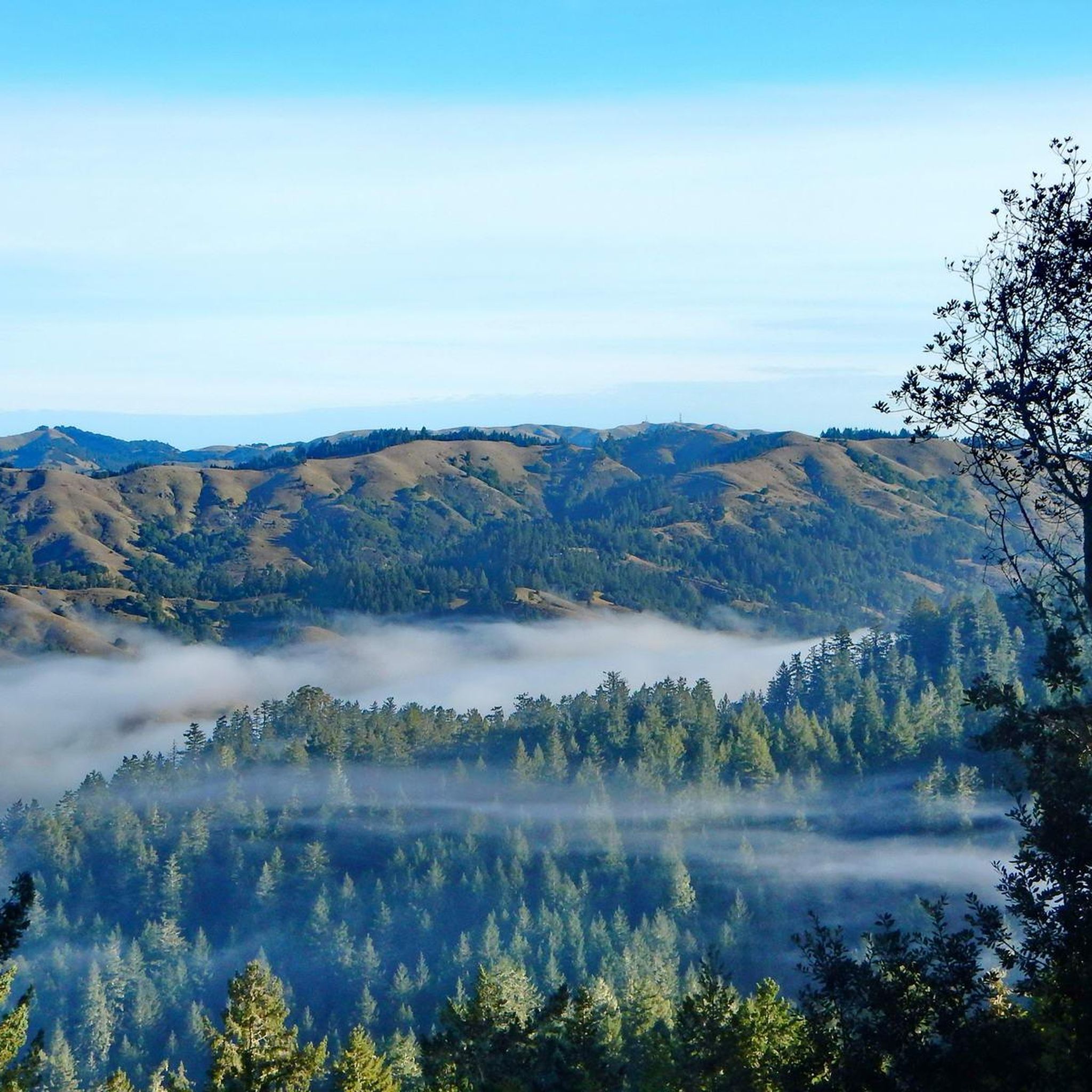
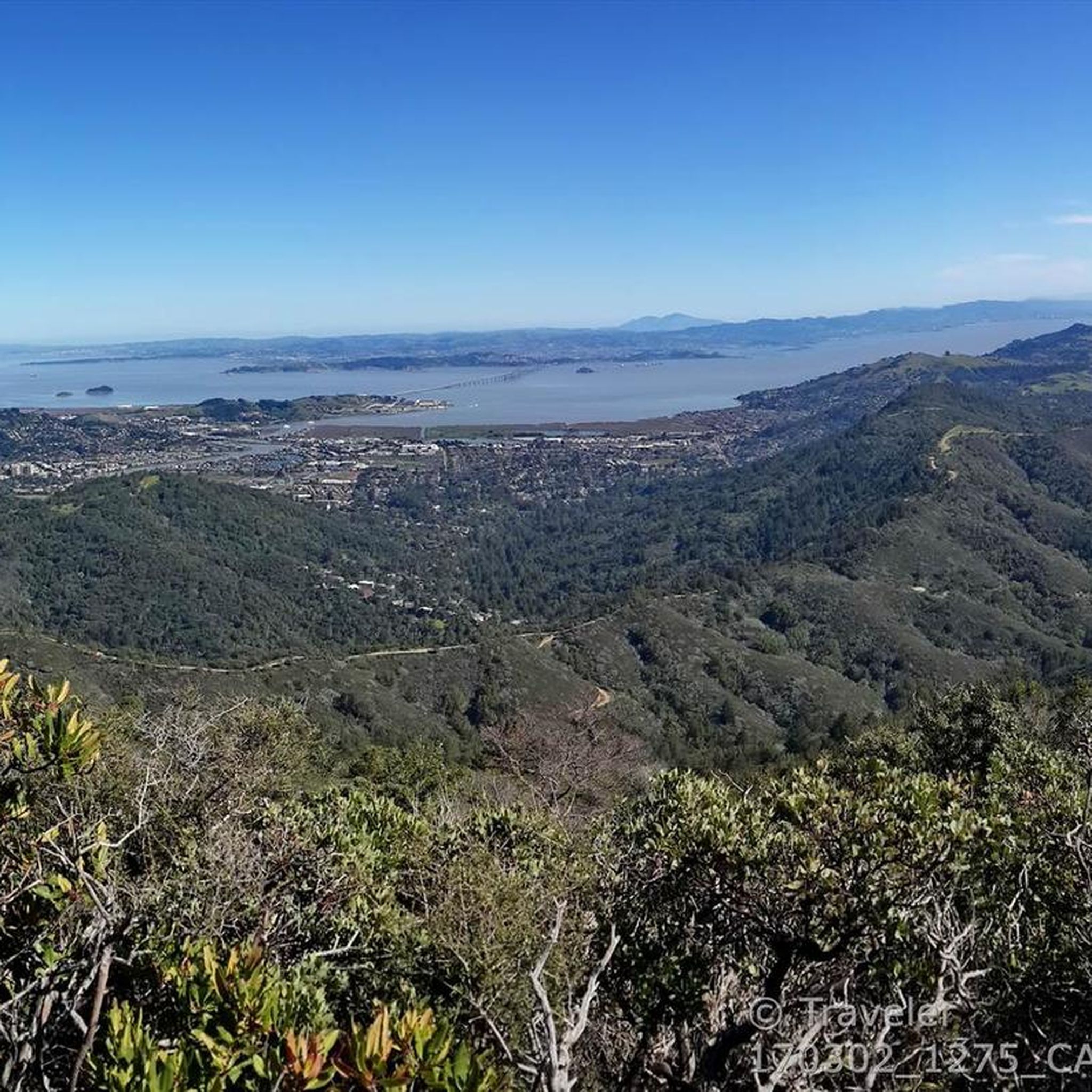
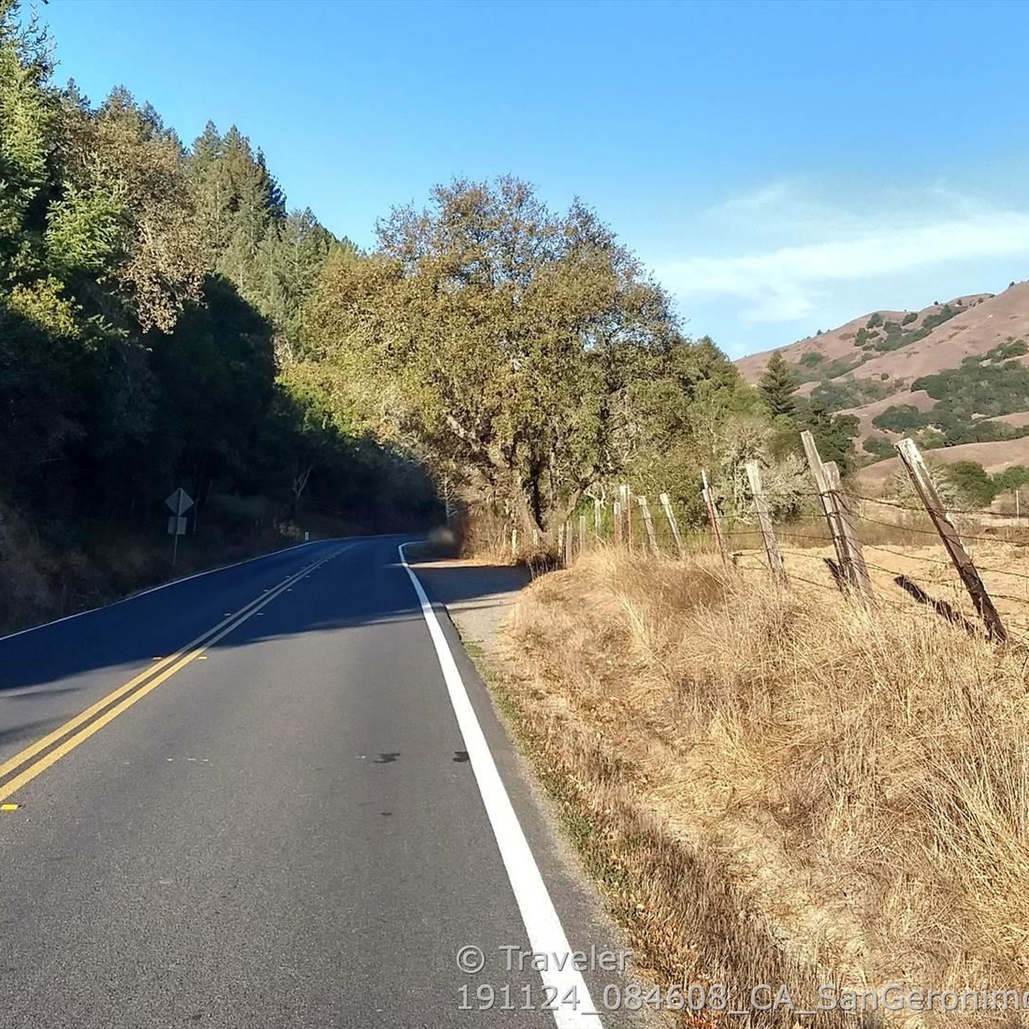
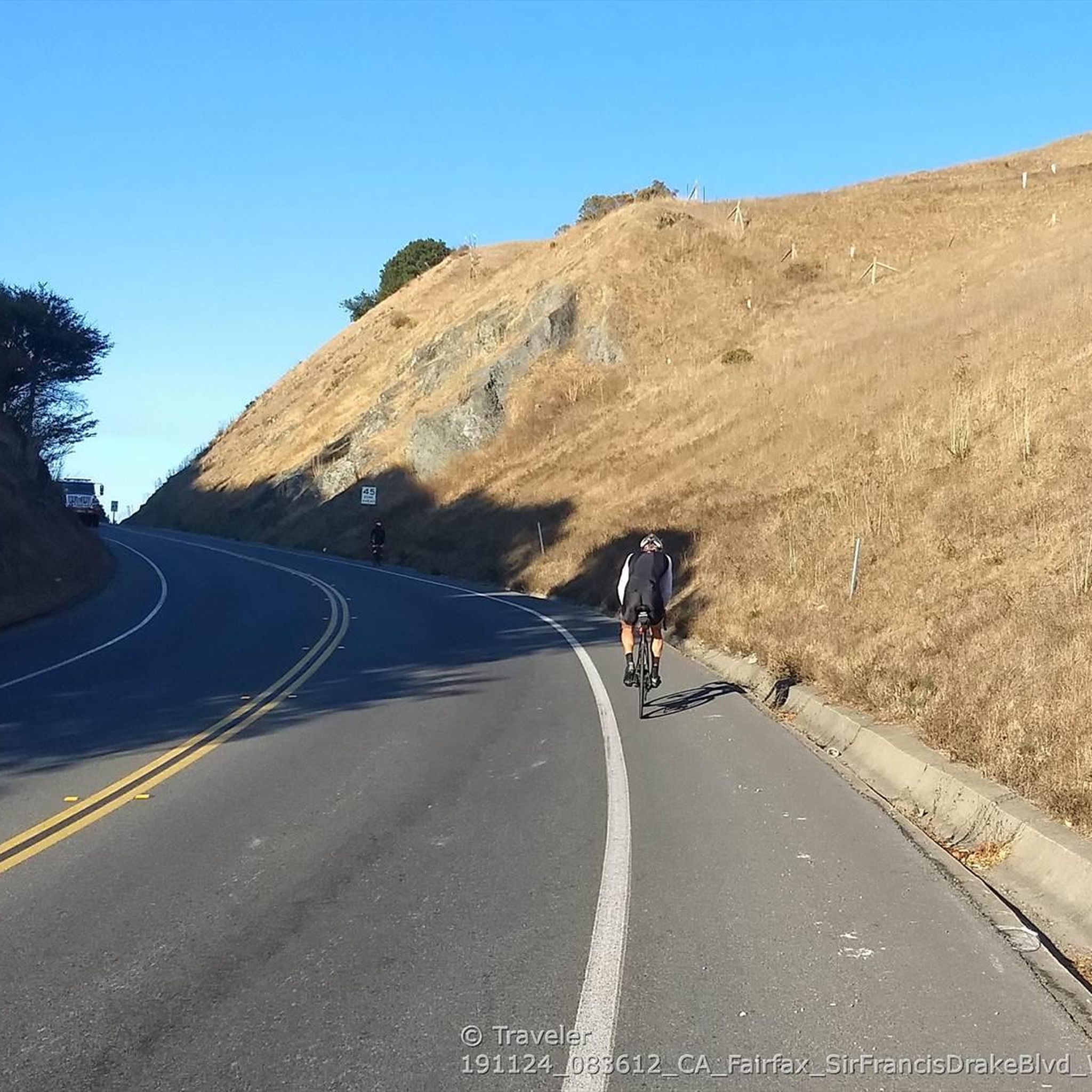
Tips from the Community


This is the largest indoor auditorium in the county, and hosts a wide variety of performing arts acts. You get a nice view of the architecture over the duck pond from Cavaliere Island.
1
0
There is a small paved multi-use path which winds around the duck pond, past some shaded benches. The Marin County Fair takes place on its north bank, and Lagoon Park is commonly the site of local events.
0
0

Embark on an adrenaline-fueled mountain biking adventure through Big Rock. The trail reaches its peak at the towering landmark, a colossal rock that adds a unique touch to the experience. Exercise caution on the descent; the pavement can get slippery, adding an exhilarating challenge to this thrilling ride.
0
0

Big Rock Trail cuts through Lucas Valley Open Space to reach the 2nd highest point in Marin County. From later winter through early summer the hills are verdant green and often covered in wildflowers. Bring plenty of water and a wide brimmed hat if it's a warm day as there is little shade, but this means the views are wide open and beautiful.
0
0

Phoenix Lake is open to the public for swimming and fishing. Dogs are allowed on the surrounding trails, but are not allowed to swim nor drink from the water.
1
0

Thursdays and Sundays are Farmers Markets
0
0

On Shaver Grade Road, you get to ride along the incredibly blue waters of Phoenix Lake.
1
0
Frequently Asked Questions
What types of terrain can I expect on jogging routes in San Anselmo?
Jogging routes in San Anselmo offer a diverse range of terrain, from paved paths along creeks to natural trails winding through oak woodlands, redwood groves, and rolling hills. You'll find options suitable for various preferences, including routes with significant elevation changes and flatter, more accessible paths.
Are there running routes in San Anselmo suitable for beginners or those looking for an easy jog?
Yes, San Anselmo offers several easy running routes. For instance, the Corte Madera Multi-Use Path – Corte Madera Creek loop from San Anselmo is a moderate 4.4-mile path that follows a scenic creek with minimal elevation gain, making it a great option for a relaxed run. The Mount Tamalpais Watershed also features easy loops like the Phoenix Lake loop, which is about 2.8 miles with minimal elevation.
What kind of natural features and views can I enjoy while jogging in San Anselmo?
San Anselmo's running routes boast stunning natural beauty. You can expect to see oak woodlands, serene redwood groves, and picturesque creeks. Many trails offer sweeping views of the Ross Valley, Mount Tamalpais, and Bald Hill. Areas like Phoenix Lake provide gorgeous scenery and wildlife, while Sorich Ranch Park offers wide-open spaces and tranquil environments.
Are there any family-friendly running trails in San Anselmo?
Yes, San Anselmo has options suitable for families. The Phoenix Lake loop in the Mount Tamalpais Watershed is an easy 2.8-mile trail with minimal elevation, making it accessible for families. Additionally, parks like Creek Park offer peaceful walking paths that can be enjoyed for a leisurely family jog.
Can I bring my dog on the running routes in San Anselmo?
Many trails in San Anselmo and the surrounding Marin County area are dog-friendly, though leash laws and specific park regulations may apply. It's always best to check the rules for individual parks or trail systems before heading out with your canine companion. For general information on local parks, you can visit San Anselmo Parks.
Are there any circular jogging routes in San Anselmo?
Yes, San Anselmo features several circular running routes. A popular choice is the Marin Civic Center loop from Marin Civic Center, which is a 3.4-mile trail. The Phoenix Lake loop and the Gertrude Ord and Tucker Trail loop (4.2 miles) in the Mount Tamalpais Watershed are also excellent circular options.
What are the parking options for jogging trails in San Anselmo?
Parking availability varies by trail and park. Many parks like Memorial Park serve as starting points and often have dedicated parking. For trails within the Mount Tamalpais Watershed or Sorich Ranch Park, there are typically designated parking areas. It's advisable to check specific trailheads for parking information before your visit.
What do other runners say about jogging in San Anselmo?
The running routes in San Anselmo are highly rated by the komoot community, with an average score of 4.0 stars from over 12 reviews. Over 1600 runners have used komoot to explore the varied terrain, often praising the diverse landscapes, from oak woodlands to redwood groves, and the scenic views of Mount Tamalpais and the Ross Valley.
Are there any interesting landmarks or attractions near the running routes?
Yes, several interesting landmarks and natural attractions are accessible from or near San Anselmo's running routes. You can explore the Muir Woods National Monument Entrance, discover the Cathedral Grove of Giant Redwoods, or visit the Sausalito Path. For those interested in waterfalls, nearby highlights include Laurel Dell Falls and Carson Falls.
Are there any long-distance or challenging running routes in the San Anselmo area?
Absolutely. For experienced runners seeking a challenge, San Anselmo offers routes with significant distance and elevation gain. The Bay Area Ridge Trailhead – Big Rock Ridge loop from Marin Civic Center is a difficult 19.9-mile trail featuring substantial elevation gain across ridge trails. Another demanding option is the Rock Spring Trail Spur – Rock Spring Trail loop from San Anselmo, which spans over 25 miles with considerable climbing.
What is the best time of year to go jogging in San Anselmo?
San Anselmo offers great jogging conditions year-round, but spring and fall are particularly pleasant with mild temperatures and vibrant scenery. Spring brings beautiful wildflower displays, especially along trails like the Memorial Ridge Trail. Even in winter, the region's trails can be enjoyed, though it's always wise to check weather conditions.
Are there any parks in San Anselmo that connect to larger trail networks?
Yes, Memorial Park in San Anselmo serves as a connector for trails, including the scenic 1.2-mile Memorial Ridge Trail which links to Sorich Ranch Park. This allows access to a broader network of trails, including those extending into the Mount Tamalpais Watershed, providing opportunities for longer or more varied runs.
Most popular routes around San Anselmo
Most popular attractions around San Anselmo

Get inspired with the komoot mobile app


Explore more
Browse the best Running Trails & Routes in other regions.
