The best road cycling routes around San Anselmo
4.5
(183)
7,916
riders
108
rides
Road cycling around San Anselmo offers a diverse landscape for cyclists. The region features a mix of rolling hills, coastal paths, and routes along creeks and inlets. Cyclists can explore areas around Alpine Lake and Corte Madera Creek, with varying elevations suitable for different skill levels. The terrain includes both paved roads and dedicated pathways, providing a range of road cycling experiences.
Best road cycling routes around San Anselmo
- The most popular road cycling route is Sausalito Path – Cal Park Tunnel & Pathway loop from San Anselmo, a 58.9 miles (94.8 km) trail that takes 4 hours 12 minutes to complete. This route features a mix of dedicated pathways and scenic road sections.
- Another top favourite among local road cyclists is Alpine Lake – Alpine Dam loop from San Anselmo, a moderate 23.4 miles (37.7 km) path. This route includes significant elevation gain around the Alpine Dam, offering challenging climbs and descents.
- Local road cyclists also love the Camino Alto Road – Pickleweed Inlet crossing loop from San Anselmo, a 22.1 miles (35.7 km) trail leading through varied terrain, often completed in about 1 hour 35 minutes.
- Road cycling around San Anselmo is defined by scenic routes along the bay, challenging climbs through hills, and pathways alongside creeks. The network offers options for easy road bike trails as well as advanced road cycling trails, catering to different ability levels.
- The routes in San Anselmo are highly rated by the komoot community with an average score of 4.5 stars from over 130 reviews. More than 7,500 road cyclists have used komoot to explore San Anselmo's varied terrain.
Last updated: August 4, 2026
5.0
(7)
406
riders
80.2km
03:50
980m
980m
Hard road ride. Very good fitness required. Mostly well-paved surfaces and easy to ride.
5.0
(3)
162
riders
79.0km
03:58
880m
880m
Moderate road ride. Good fitness required. Some segments of this route may be unpaved and difficult to ride.

Sign up for free
284
riders
86.1km
03:51
750m
750m
Moderate road ride. Good fitness required. Mostly well-paved surfaces and easy to ride.
5.0
(3)
99
riders
46.6km
02:40
1,040m
1,040m
Hard road ride. Very good fitness required. Mostly well-paved surfaces and easy to ride.
105
riders
87.7km
03:58
830m
830m
Moderate road ride. Good fitness required. Mostly well-paved surfaces and easy to ride.
Get access to more routes and recommendations from other explorers.
Sign up for free
Already have an account?
Our route recommendations are based on thousands of hikes, rides, and runs completed by other people on komoot.
Start today with a free account
Your next adventure awaits.
Login or Signup
Tips from the Community

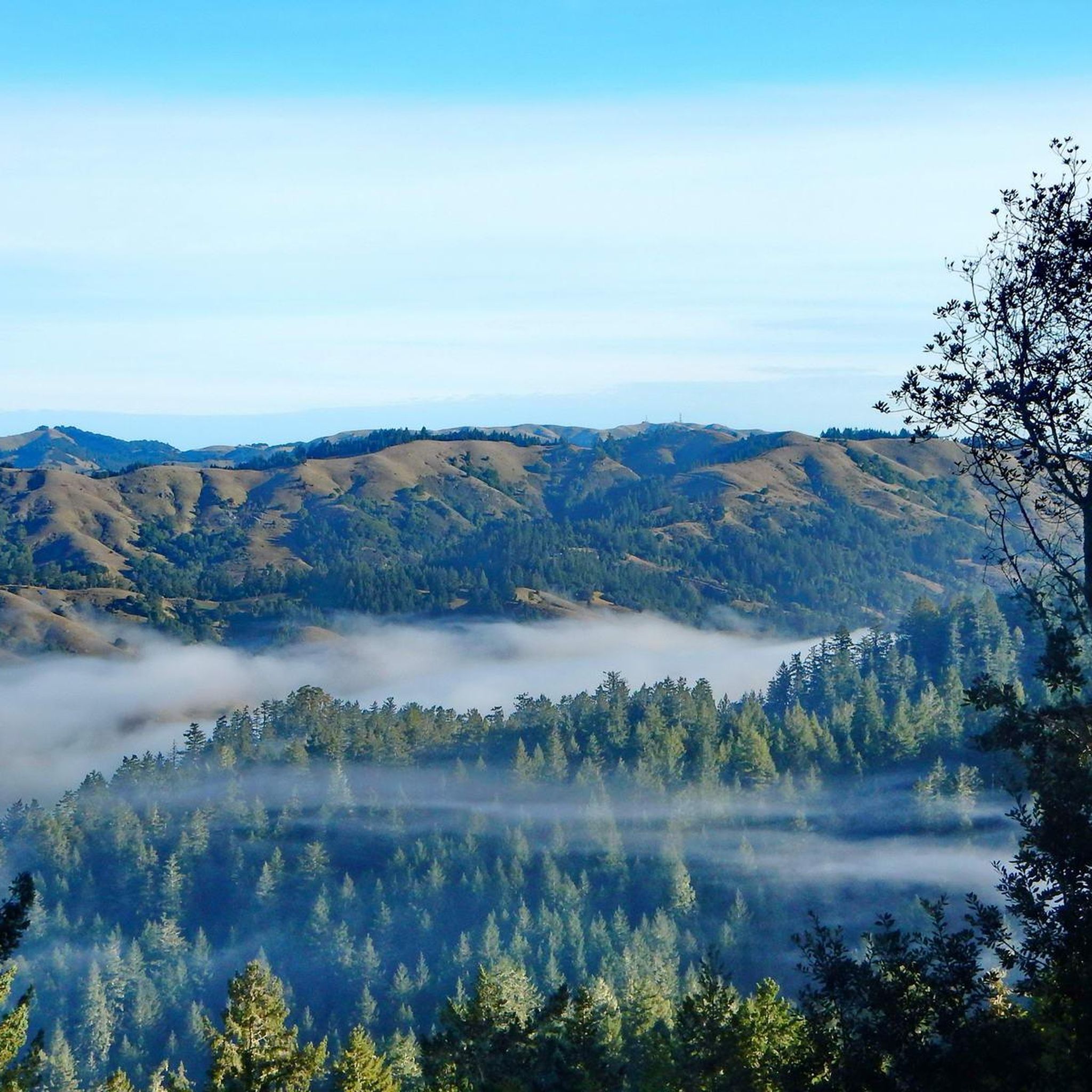
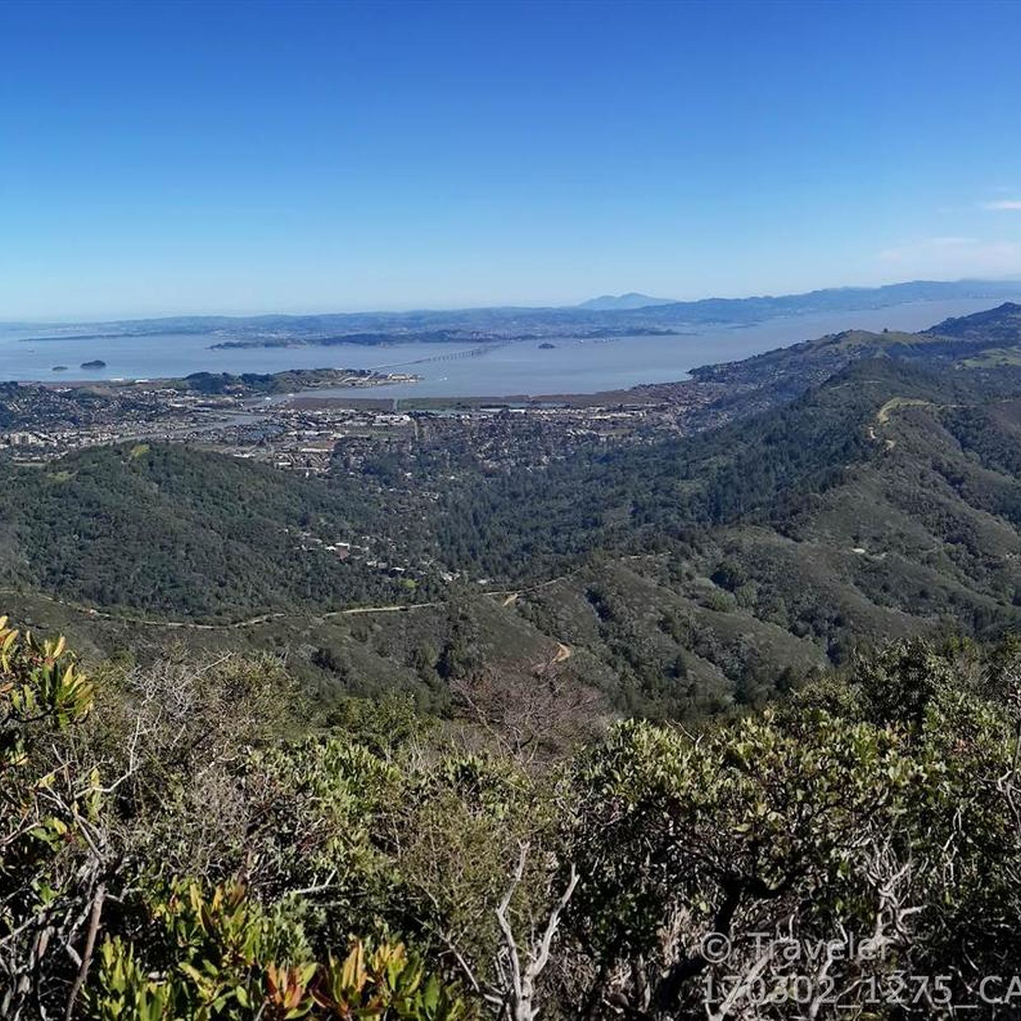
Paved section riding on the ridge between Pan Toll Road and Fairfax-Bolinas Road where it contains as Bolinas Ridge Trail, with spectacular views along the way toward the Pacific Ocean and Stinson Beach far below. The road is open during daylight hours only, in winter that means 9am to sunset.
0
0


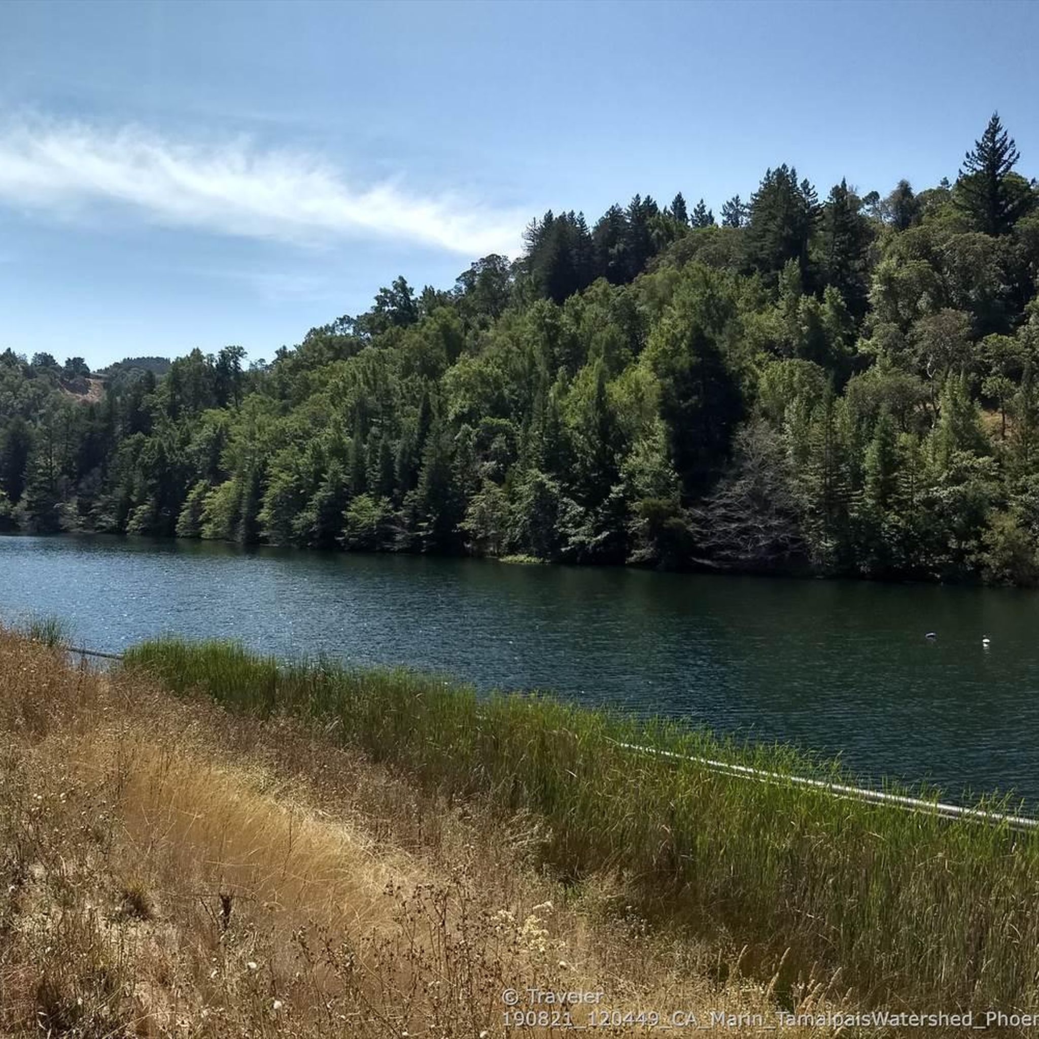
Constructed in 1917 this dam forms Alpine Lake, which sites between Kent and Bon Tempe Lakes. The road across the top of the dam make it a great place to ride on a loop around the lake.
0
0
This lake was formed by the building of Alpine Dam in 1917. It sits between Kent Lake and Bon Tempe Lake, and is popular for a variety of outdoor activities.
0
0

Set beneath the towering trees of Mount Tam, Rock Springs is the perfect jumping-off point for scenic hikes and quiet picnics—where trails, wildlife, and wide-open views begin.
0
0

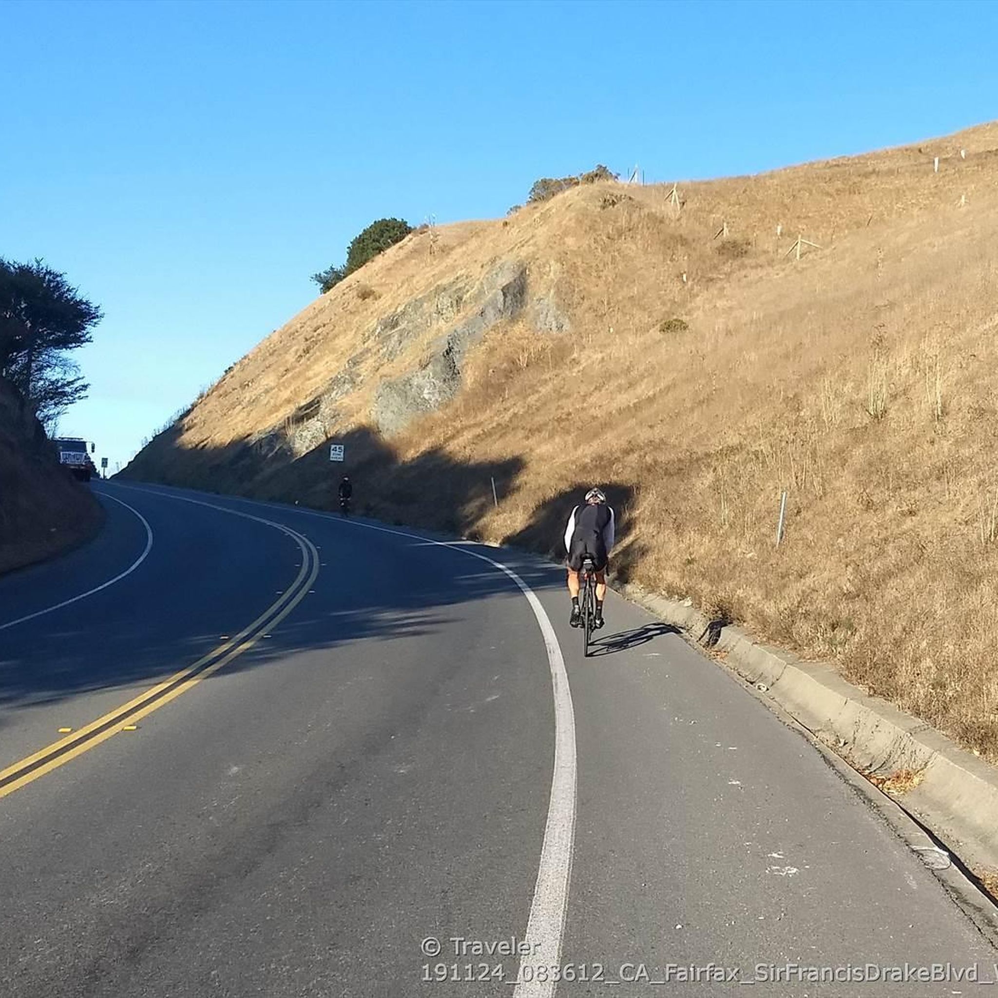
Steep heading West can have traffic on SFD
0
0
Frequently Asked Questions
How many road cycling routes are available around San Anselmo?
San Anselmo offers a diverse selection of over 10 road cycling routes, catering to various skill levels. You'll find a mix of easy, moderate, and challenging options to explore the region's unique landscapes.
Are there road cycling routes suitable for beginners in San Anselmo?
Yes, San Anselmo has several routes ideal for beginners. There are 3 easy routes, perfect for those looking for a more relaxed ride. These routes often feature gentler terrain and less elevation gain, allowing for an enjoyable introduction to road cycling in the area.
What kind of terrain can I expect on road cycling routes in San Anselmo?
The terrain around San Anselmo is quite varied, offering a mix of experiences. You'll encounter rolling hills, scenic coastal paths, and routes that follow creeks and inlets. Some routes, like the Alpine Lake – Alpine Dam loop from San Anselmo, include significant elevation gain, while others offer more dedicated pathways and flatter sections.
Are there any challenging road cycling routes for experienced riders?
Absolutely. For experienced cyclists seeking a challenge, there is at least one difficult route available. The region's varied topography, including climbs around areas like Alpine Dam, provides ample opportunity for advanced riders to test their endurance and skill. Consider the Corte Madera Creek – Pantoll Road loop from San Rafael for a demanding ride.
What are some scenic highlights or viewpoints along the road cycling routes?
San Anselmo's routes are known for their scenic beauty. You can expect views along the bay, through hills, and alongside creeks. For specific viewpoints, consider routes that pass by Remillard Park 🌳 or offer vistas of Phoenix Lake and Alpine Dam. The Sausalito Path – Cal Park Tunnel & Pathway loop from San Anselmo also offers diverse scenery.
Are there any circular road cycling routes in San Anselmo?
Yes, many of the road cycling routes around San Anselmo are designed as loops, allowing you to start and finish in the same location. Examples include the Camino Alto Road – Pickleweed Inlet crossing loop from San Anselmo and the Phoenix Lake – Corte Madera Creek loop from Fairfax, providing convenient round trips.
What do other road cyclists say about the routes in San Anselmo?
The road cycling routes in San Anselmo are highly regarded by the komoot community, holding an impressive average rating of 4.5 stars from over 130 reviews. Cyclists frequently praise the diverse landscapes, from challenging climbs to serene pathways, and the overall quality of the riding experience.
Can I find routes that pass by lakes or other natural attractions?
Absolutely. Several routes in the San Anselmo area offer stunning views of local lakes and natural features. You can find routes that take you past Phoenix Lake and the impressive Alpine Dam. For those interested in waterfalls, the region also features highlights like Laurel Dell Falls and Fairfax Falls 🌊, though these might require a short detour from dedicated road cycling paths.
What is the typical duration for road cycling routes in San Anselmo?
The duration of road cycling routes in San Anselmo varies significantly depending on the route's length and difficulty. For instance, a moderate route like the Camino Alto Road – Pickleweed Inlet crossing loop from San Anselmo can be completed in about 1 hour 35 minutes, while longer routes such as the Sausalito Path – Cal Park Tunnel & Pathway loop from San Anselmo might take around 4 hours 12 minutes.
What are the best times of year for road cycling in San Anselmo?
San Anselmo generally offers pleasant road cycling conditions for much of the year. Spring and fall typically provide mild temperatures and clear skies, making them ideal. Summers are usually warm and dry, perfect for early morning or late afternoon rides. Winters are generally mild, though you might encounter occasional rain, so checking the weather forecast is always recommended.
Are there any routes that combine dedicated pathways with road sections?
Yes, many routes in San Anselmo offer a blend of dedicated pathways and road sections, providing a varied and engaging cycling experience. The Sausalito Path – Cal Park Tunnel & Pathway loop from San Anselmo is a prime example, featuring a mix of both to ensure a dynamic ride.
Most popular routes around San Anselmo
Most popular attractions around San Anselmo

Get inspired with the komoot mobile app


Explore more
Browse the best Road cycling routes in other regions.
