The best mountain hikes around Schalkenmehrener Maar
5.0
(84)
357
hikers
2
hikes
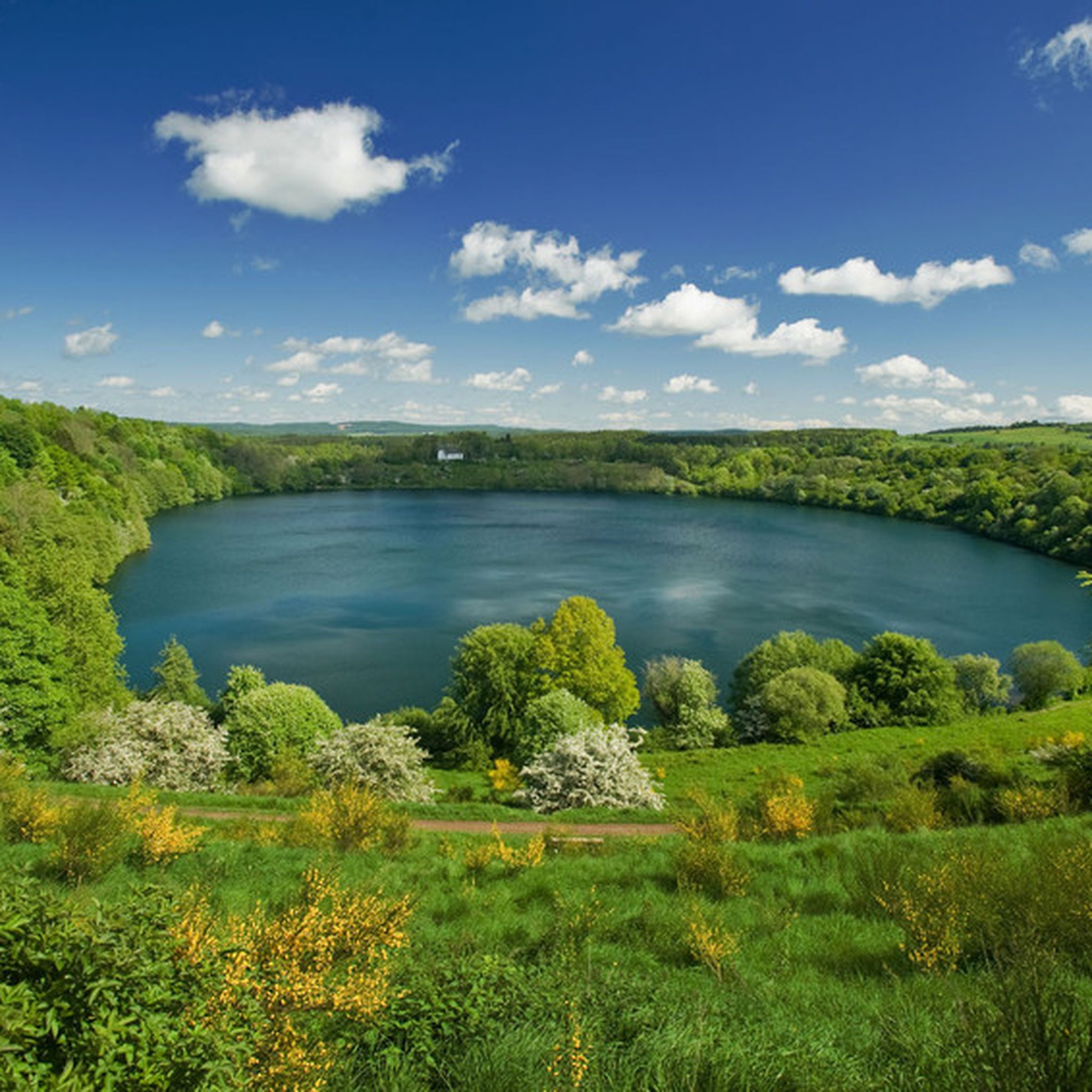
Mountaineering routes around Schalkenmehrener Maar are set within Germany's volcanic Eifel region, characterized by its unique geological origins. The landscape features funnel-shaped volcanic craters, known as maars, often filled with water, creating distinct crater lakes. Surrounding these are gentle hills, deep forests, and varied terrain with significant elevation changes, offering challenging and rewarding routes for experienced hikers. The area is part of the Natur- und Geopark Vulkaneifel, showcasing its explosive past and diverse ecosystems.
Best mountaineering routes around Schalkenmehrener Maar
…Last updated: November 1, 2026
5.0
(1)
3
hikers
Moderate mountaineering route. Good fitness required. Easily walkable paths.
Easy mountaineering route. Easily walkable paths.

2
hikers
10.7km
03:10
300m
300m
Moderate mountaineering route. Good fitness required. Mostly walkable paths. Sure-footedness required.
5.0
(10)
35
hikers
Hard mountaineering route. Good fitness required. Sure-footedness, sturdy shoes and alpine experience required.
5.0
(5)
29
hikers
Hard mountaineering route. Sure-footedness, sturdy shoes and alpine experience required.
Our route recommendations are based on thousands of hikes, rides, and runs completed by other people on komoot.
Start today with a free account
Your next adventure awaits.
Tips from the Community


Pace yourself well if you are a beginner! Possibly don't do all 3 stages. Otherwise TIP: Start early! I always leave at 6, half past 6. Then there are still few people. Afterwards it quickly gets crowded. This way you are alone at the summit around 10 am with your well-deserved summit beer and can enjoy the sunrise along the way. Pure Eifel! 🌄
0
0
Perfect trail with various difficulties, there is something for everyone. Best to start veeery early! I always set off at 6, half past 6, because later it's always hellish. Unfortunately, it's slowly becoming a bit overcrowded, but in the early morning it's still "pure Eifel": the rushing of the Lieser, fog, tranquility and simply perfect climbing fun! That way, you're alone at the summit for a summit beer after all 3 stages by 10 am 🌄🤝📯
0
0

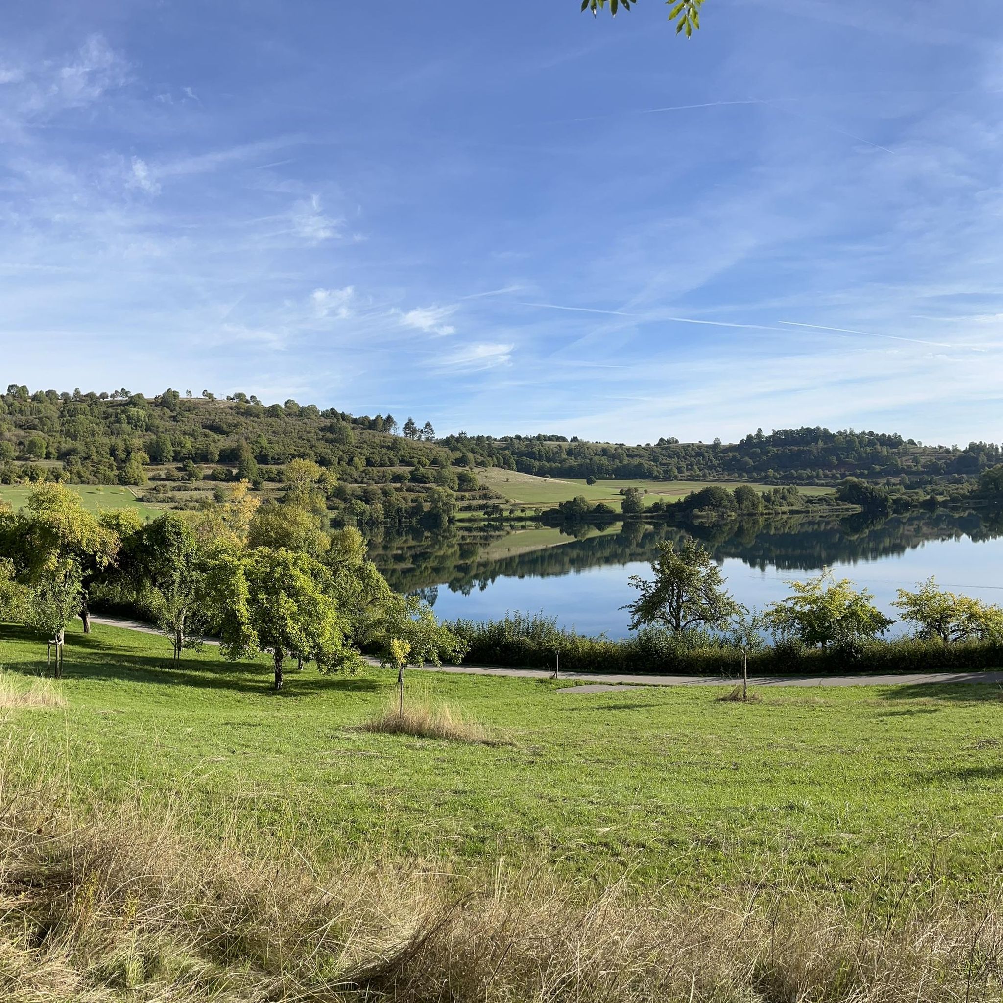
Not possible to see the lake anymore in 2026 due to growth of the bushes
1
0

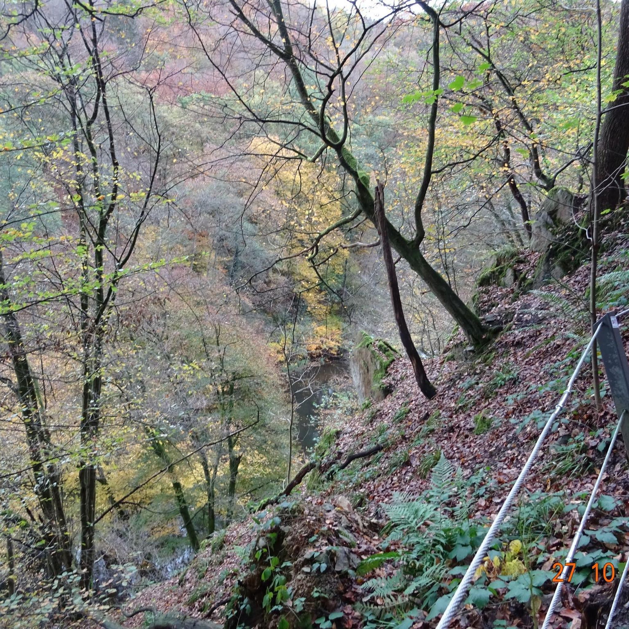
…a great challenging via ferrata in 3 stages with difficulties A - D along above the Lieser
1
0

Very nice view of the entire town.
0
0
Behind the Daun ski lift begins the mining zone for volcanic rock near the Gemünden Maar.
0
0
Small ski lift (if there is a bit more snow in winter)
0
0
Frequently Asked Questions
How many mountaineering routes are available around Schalkenmehrener Maar?
There are several mountaineering routes around Schalkenmehrener Maar, offering diverse experiences. This guide features 5 distinct routes, ranging from easy to difficult, allowing you to explore the unique volcanic landscape.
What kind of terrain can I expect on mountaineering routes near Schalkenmehrener Maar?
The terrain around Schalkenmehrener Maar is characterized by its volcanic origins, featuring funnel-shaped maars, clear crater lakes, and diverse forests. You'll encounter rolling hills, sometimes steep crater walls, and varied paths with significant elevation changes, providing both tranquil stretches and challenging ascents.
Are there any family-friendly mountaineering routes around Schalkenmehrener Maar?
Yes, there are routes suitable for families. For an easier option, consider the Weinfelder Maar viewpoint – Dronke Tower on the Mäuseberg loop from Schalkenmehren. This 3 km (1.9 miles) easy trail takes about 50 minutes and leads through varied terrain to a prominent viewpoint, perfect for a shorter outing.
Can I bring my dog on the mountaineering trails in this region?
Many trails in the Schalkenmehrener Maar region are dog-friendly, but it's always advisable to keep your dog on a leash, especially in nature reserves or near livestock. The varied terrain and forest paths offer a great experience for you and your canine companion.
Are there any circular mountaineering routes available?
Yes, many routes around Schalkenmehrener Maar are designed as circular paths. For example, the moderate View of the Gemündener Maar – Weinfelder Church loop from Schalkenmehren is an 8.3 km (5.2 miles) circular trail that offers views of two distinct maars and the historic Weinfelder Church.
What interesting landmarks or viewpoints can I find along the routes?
The region is rich in natural and man-made landmarks. You can visit the At the edge of the Schalkenmehrer Maar for stunning lake views. Another route, the Weinfelder Church – View of the Gemündener Maar loop from Schalkenmehren, provides expansive views across the volcanic landscape and its crater lakes, including the historic Weinfelder Church.
Where can I find parking for mountaineering routes near Schalkenmehrener Maar?
Parking is generally available in and around the villages surrounding the maars, such as Schalkenmehren. Specific parking areas are often signposted near popular trailheads. It's recommended to check local signage upon arrival for the most current information.
What is the best time of year to go mountaineering around Schalkenmehrener Maar?
The region is beautiful year-round, but spring and autumn offer particularly pleasant conditions with mild temperatures and vibrant colors. Summer is ideal for combining hikes with water activities in the maar lakes. While winter mountaineering is possible, be prepared for colder temperatures and potentially icy or snowy conditions on trails.
Are there any cafes or places to eat near the mountaineering trails?
Yes, you'll find amenities in the nearby villages. For example, the Café Maarblick offers refreshments and views. The Village Shop Maaritimes is another option for provisions.
What do other mountaineers enjoy most about the routes in Schalkenmehrener Maar?
The routes in Schalkenmehrener Maar are highly rated by the komoot community, with an average score of 4.9 stars. Reviewers often praise the stunning volcanic landscapes, the clear crater lakes, and the diverse forest paths that offer a rewarding experience for various fitness levels.
Are there any more challenging mountaineering routes in the Eifel region?
While Schalkenmehrener Maar offers moderate and easy routes, the broader Eifel region, part of the Natur- und Geopark Vulkaneifel, features more demanding trails. For instance, the Keep of Oberburg Castle loop from Manderscheid is a 4.3 km (2.7 miles) difficult route with significant elevation changes, requiring good fitness and sure-footedness.
Can I reach the mountaineering trails using public transport?
Public transport options to the Eifel region and its villages like Schalkenmehren are available, though they might be less frequent than in urban areas. It's advisable to check local bus schedules in advance, especially if you plan to rely solely on public transport for access to trailheads.
Most popular routes around Schalkenmehrener Maar
Most popular attractions around Schalkenmehrener Maar

Get inspired with the komoot mobile app


Explore more
Browse the best Mountain Hikes & Routes in other regions.
