The best walks and hikes around Niederwürzbacher Weiher
4.5
(11248)
43,006
hikers
36
hikes
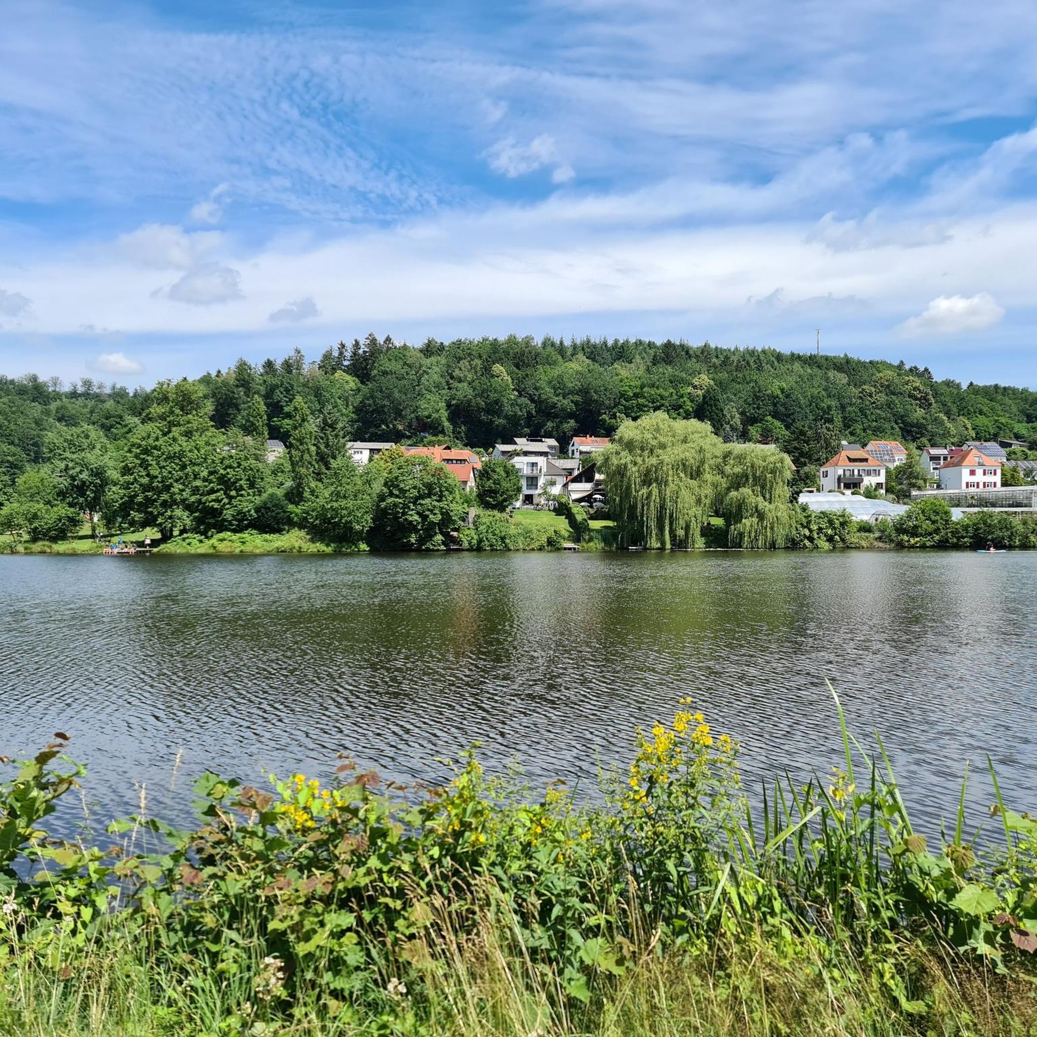
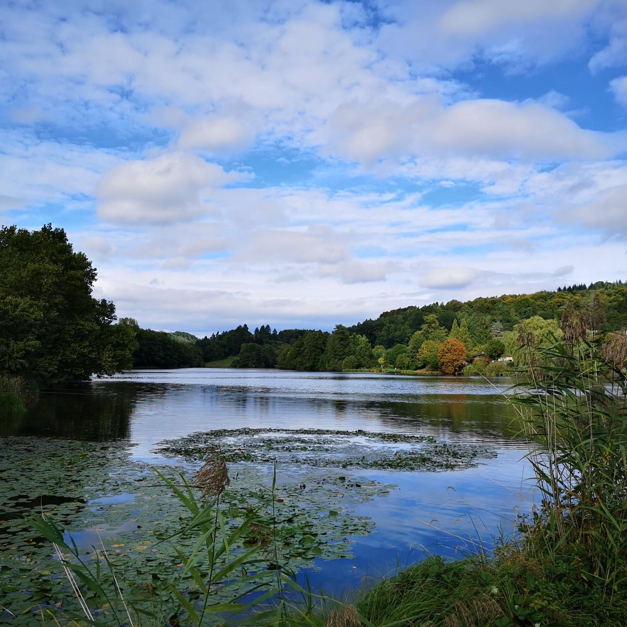
Hiking around Niederwürzbacher Weiher offers diverse trails within the scenic Bliesgau Biosphere Reserve, a UNESCO-recognized area. The region features the 12-hectare Weiher (pond/lake) fed by the Würzbach and Geißbach rivers, with a prominent peninsula extending into the water. The landscape is characterized by Buntsandstein formations and the Würzbach valley, creating varied terrain from lakeside paths to forest areas and gentle elevations. This natural setting provides a range of hiking opportunities.
Best hiking trails around Niederwürzbacher Weiher
- The most popular hiking route is Mariannenweg - "Wuerzbacher Loop", a 7.5 miles (12.0 km) trail that takes 3 hours 22 minutes to complete. This moderate route features varied terrain and notable elevation changes.
- Another top favourite among local hikers is Eagle-Owl Fountain – Niederwürzbacher Pond loop from Würzbach (Saar), a moderate 6.7 miles (10.8 km) path. This loop offers pleasant views around the pond and through surrounding natural areas.
- Local hikers also love the Niederwürzbach Pond – Saw Pond loop from Würzbach (Saar), a 6.5 miles (10.4 km) trail leading through forest areas and past the pond, often completed in about 2 hours 43 minutes.
- Hiking around Niederwürzbacher Weiher is defined by its prominent lake, the surrounding Bliesgau Biosphere Reserve, and diverse Buntsandstein formations. The network offers options for different ability levels, from easy lakeside strolls to more challenging routes with greater elevation.
- The routes in Niederwürzbacher Weiher are highly rated by the komoot community with an average score of 4.5 stars from over 9500 reviews. More than 40000 hikers have used komoot to explore Niederwürzbacher Weiher's varied terrain.
Last updated: October 20, 2026
4.5
(74)
223
hikers
12.0km
03:22
250m
250m
Moderate hike. Good fitness required. Easily walkable paths.
4.6
(70)
236
hikers
10.4km
02:44
80m
80m
Moderate hike. Good fitness required. Easily walkable paths.

4.5
(19)
129
hikers
Easy hike. Easily walkable paths.
4.7
(20)
59
hikers
10.7km
02:58
180m
180m
Moderate hike. Good fitness required. Easily walkable paths.
4.5
(51)
192
hikers
9.60km
02:40
180m
180m
Moderate hike. Good fitness required. Easily walkable paths.
Get access to more routes and recommendations from other explorers.
Already have an account?
Our route recommendations are based on thousands of hikes, rides, and runs completed by other people on komoot.
Start today with a free account
Your next adventure awaits.
Popular around Niederwürzbacher Weiher
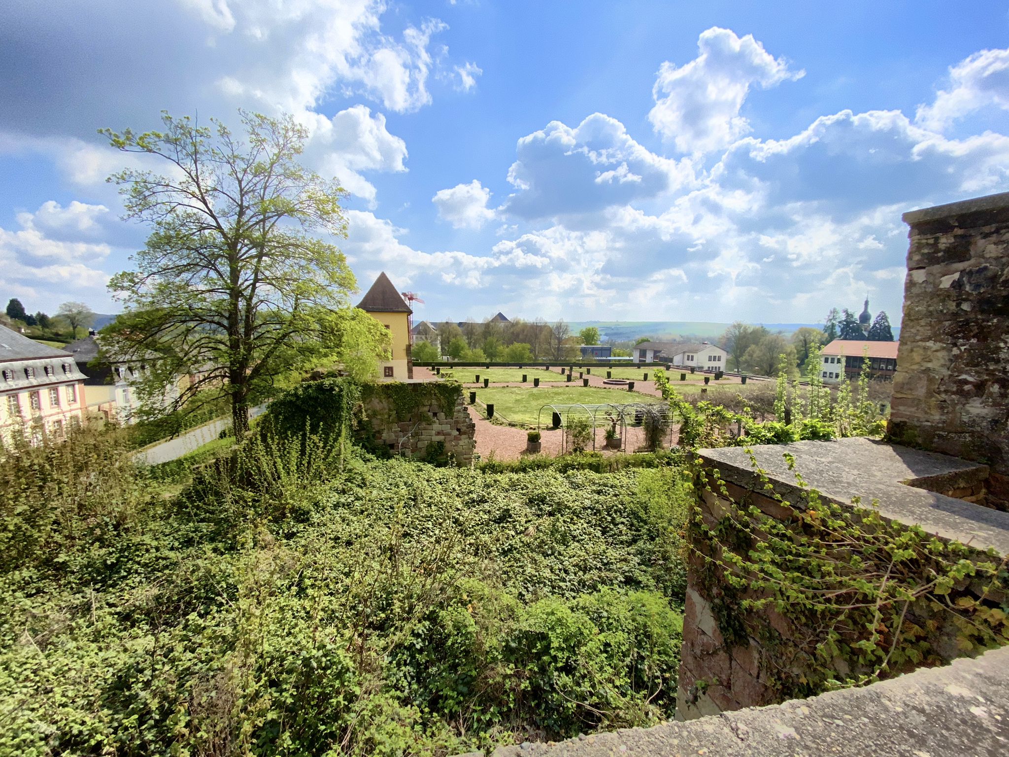
The Mariannenweg - On the trail of the baroque era

Wandern mit Bus und Bahn – Nachhaltig durch den Bliesgau
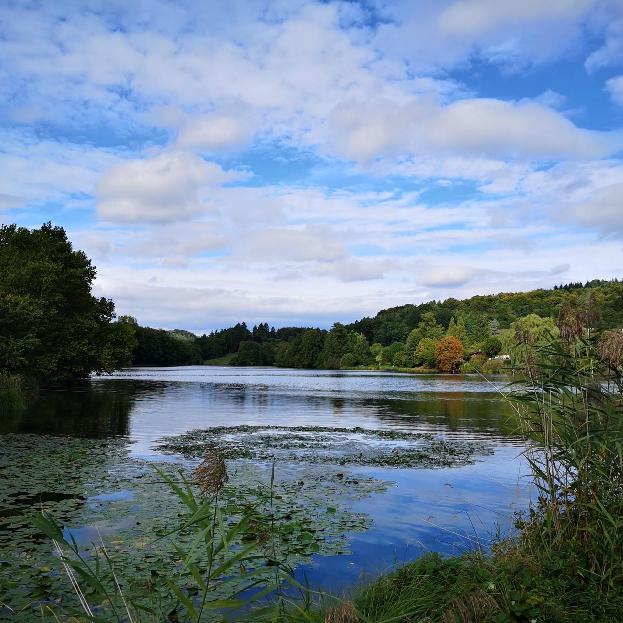
Cycling around Niederwürzbacher Weiher
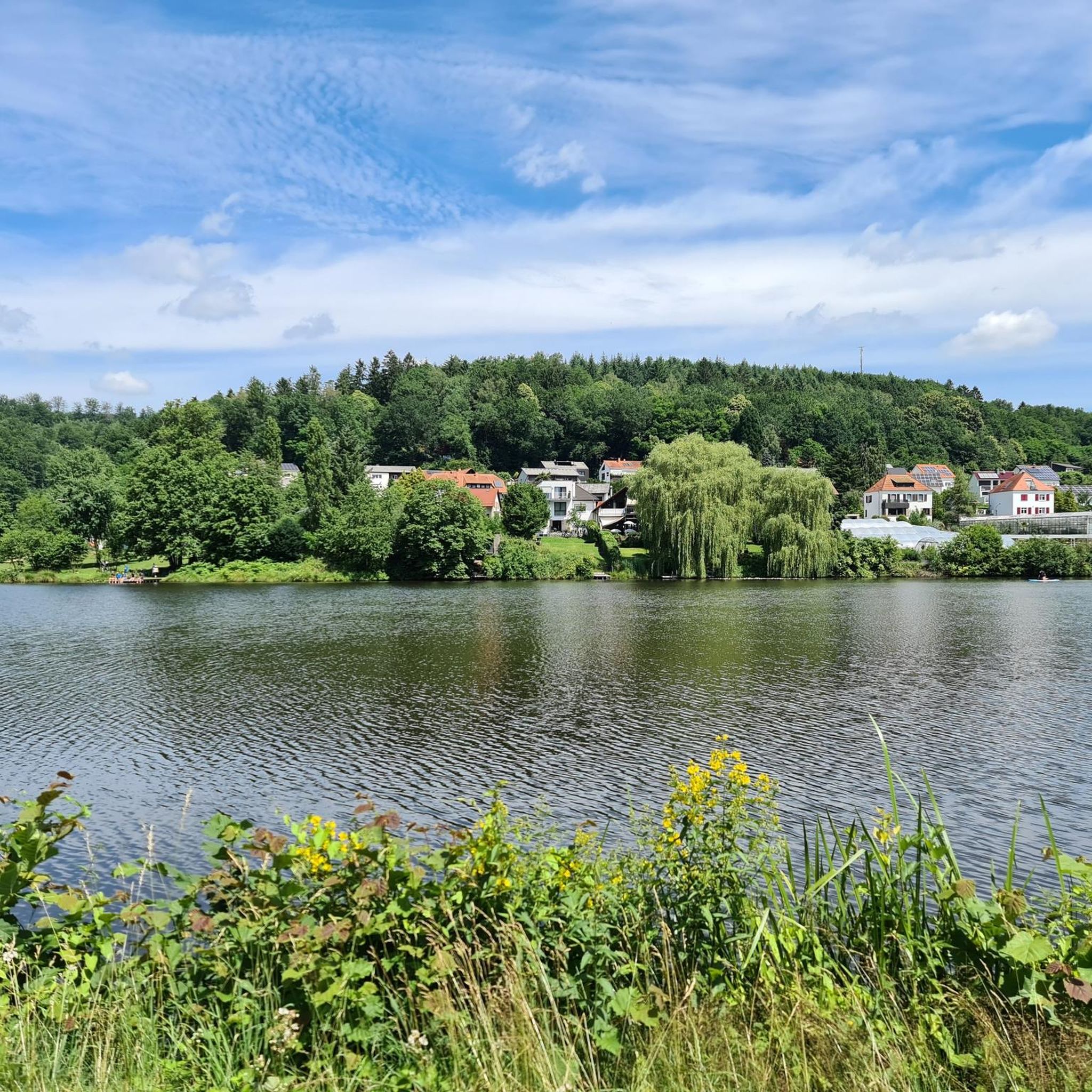
MTB Trails around Niederwürzbacher Weiher

Gravel biking around Niederwürzbacher Weiher
Road Cycling Routes around Niederwürzbacher Weiher
Running Trails around Niederwürzbacher Weiher
Other adventures around Niederwürzbacher Weiher


Tips from the Community

The wooden bridge has been open at least since October 3, 2025. This can be verified with the picture posted by Kirstaedter from his tour "Mariannenweg – Würzbacher Schleife". Here: https://www.komoot.com/de-de/tour/2614623129
1
0

It's it ...
0
0
The new wooden bridge over the northern arm of the Niederwürzbacher Weiher pond, which provides a shortcut to the Gut Junkerwald peninsula, is nearing completion and opening. It is a replacement for a previously existing bridge, which had been closed for years (since 2019 - see also photo) due to dilapidation. Completion and thus the opening of the new bridge was scheduled for August 2025. As of August 29, 2025, the bridge had not yet opened.
2
0


Dark, narrow path, but nicely shady.
0
0

View from the dam
0
0

small, open hut for resting, but without a table
0
0

The Lourdes Grotto in Niederwürzbach
0
0
Frequently Asked Questions
How many hiking trails are available around Niederwürzbacher Weiher?
There are over 25 hiking trails around Niederwürzbacher Weiher. These include 13 easy routes, 15 moderate routes, and 1 more challenging trail, offering options for various fitness levels.
Are there family-friendly hiking options around Niederwürzbacher Weiher?
Yes, the area offers several easy routes suitable for families. These trails often feature minimal elevation and pleasant lakeside paths. For example, the Gut Junkerwald – Niederwürzbacher Pond loop from Würzbach (Saar) is an easy 3.1-mile (5.0 km) hike that provides a condensed experience of the area's highlights.
Can I bring my dog on the hiking trails?
Yes, Niederwürzbacher Weiher is generally dog-friendly. Many trails around the lake and through the surrounding forests are suitable for walks with your dog. Please ensure your dog is kept on a leash, especially in designated nature protection areas within the Bliesgau Biosphere Reserve, and always clean up after your pet.
Are there circular hiking routes around Niederwürzbacher Weiher?
Yes, many of the trails around Niederwürzbacher Weiher are designed as circular routes, allowing you to start and end at the same point. A popular option is the Niederwürzbacher Pond – Niederwürzbach Pond loop from Würzbach (Saar), a moderate 6.6-mile (10.6 km) path offering pleasant views around the pond.
What kind of natural features can I expect to see while hiking here?
The region is nestled within the UNESCO-recognized Bliesgau Biosphere Reserve, known for its rich biodiversity. You'll encounter the 12-hectare Niederwürzbacher Weiher itself, fed by the Würzbach and Geißbach rivers, and a prominent peninsula extending into the lake. The landscape is characterized by Buntsandstein formations, with the Würzbach carving a deep valley, creating diverse terrain from lakeside paths to forest areas.
Are there any interesting landmarks or attractions along the trails?
Yes, the area around Niederwürzbacher Weiher has both natural and historical points of interest. You can find amenities like seating areas and sunbathing lawns. Historically, the lake was part of an aristocratic English garden. Notable spots include the Annahof Hotel & Restaurant, which was once a summer residence, and the Old Würzbach Station, now a rustic restaurant with a beer garden.
Where can I find parking for hiking around Niederwürzbacher Weiher?
Parking is generally available at various points around Niederwürzbacher Weiher, often near popular trailheads or amenities. The area is well-equipped for visitors, with designated parking facilities to accommodate hikers and other outdoor enthusiasts.
Are there places to eat or drink near the hiking trails?
Yes, you'll find several options for refreshments. Beer gardens and cafés are conveniently located along the cycle paths surrounding the pond. The Annahof Hotel & Restaurant and the Old Würzbach Station (now a restaurant with a beer garden) are specific examples where you can enjoy a meal or a drink.
What do other hikers enjoy most about the trails here?
The trails around Niederwürzbacher Weiher are highly rated by the komoot community, with an average score of 4.5 stars from over 300 reviews. Hikers often praise the varied terrain, the pleasant views around the pond, and the well-maintained paths that cater to different ability levels.
What is the best time of year to hike around Niederwürzbacher Weiher?
Niederwürzbacher Weiher offers enjoyable hiking experiences throughout the year. Spring brings blooming nature, summer allows for leisurely strolls and access to lakeside amenities, while autumn showcases beautiful foliage. Even in winter, the trails can be picturesque, though some amenities might have reduced hours.
Are there any viewpoints along the hiking routes?
Yes, several routes offer scenic viewpoints. For instance, the View of the Niederwürzbacher Pond from Hofgut Jungerwald is a specific highlight where you can enjoy expansive views of the lake and its surroundings.
Most popular routes around Niederwürzbacher Weiher
Most popular attractions around Niederwürzbacher Weiher

Get inspired with the komoot mobile app


Explore more
Browse the best Hikes in other regions.