The best running trails around Grand Canyon Village
4.7
(21)
1,147
runners
40
runs
Jogging around Grand Canyon Village offers access to routes along the South Rim of the Grand Canyon, a vast chasm carved by the Colorado River. The region is characterized by its immense scale, intricate layers of rock displaying geological history, and the surrounding Colorado Plateau. Running routes often follow the canyon's edge, providing continuous panoramic views and significant elevation changes on trails that descend into the canyon.
Best jogging routes around Grand Canyon Village
- The most popular jogging route is Bright Angel Trail, a 9.4 miles (15.1 km) trail that takes about 2 hours 55 minutes to complete. This challenging route offers a significant descent into the canyon.
- Another top favourite among local runners is South Kaibab Trail to Skeleton Point, a difficult 5.9 miles (9.5 km) path. This trail provides panoramic views of the canyon's geological layers.
- Local runners also love the Rim Trail, a 21.2 miles (34.1 km) trail leading along the canyon's edge with continuous panoramic views, often completed in about 4 hours 10 minutes.
- Jogging around Grand Canyon Village is defined by the immense chasm, intricate rock layers, and the vast Colorado Plateau. The network offers options for various ability levels, from relatively flat rim paths to challenging descents.
- The routes in Grand Canyon Village are highly rated by the komoot community with an average score of 4.75 stars from over 17 reviews. More than 1300 runners have used komoot to explore Grand Canyon Village's varied terrain.
Last updated: October 10, 2026
90
runners
15.1km
02:53
930m
930m
The Bright Angel Trail offers a challenging jogging experience into the Grand Canyon, revealing a dramatic landscape with every step. This difficult route covers 9.4 miles (15.1 km) and involves a significant elevation gain of 3047 feet (929 metres). You can expect to complete it in about 2 hours and 53 minutes, passing through two short tunnels and witnessing the prominent Bright Angel Fault. The trail's position within a side canyon provides unique natural features and welcome shade as you descend.
When planning your visit, be aware that the upper sections of the trail can become dangerously icy during winter and early spring, so you might need traction devices. Summer temperatures often exceed 110°F, making a rim-to-river-to-rim run in one day unsafe. The trail is also shared with mule trains, so always be prepared to yield and follow any instructions from the wranglers for your safety.
This route is notable for its constantly evolving views, which showcase billions of years of geological history as you make your way down. You will find a lush oasis at Havasupai Gardens, complete with cottonwood trees and flowing water, offering a refreshing break. The unique geological features and the opportunity to experience the canyon's depths make this a standout trail for experienced joggers.
54
runners
9.53km
01:55
650m
650m
Prepare for a challenging jogging experience on the South Kaibab Trail to Skeleton Point, a difficult 5.9-mile (9.5 km) route with a significant 2127 feet (648 metres) of elevation gain. You can expect to complete this in about 1 hour and 55 minutes, though the uphill return often takes longer. As you descend, the trail offers continuous panoramic views of the Grand Canyon, following a ridge that provides 360-degree vistas. You'll navigate steep switchbacks and rocky sections, with subtle rippled designs visible in some sandstone formations. Reaching Skeleton Point rewards you with your first glimpse of the Colorado River, bringing you closer to the canyon's heart.
Planning your visit requires attention to detail. You cannot access the trailhead by private vehicle; instead, you must use the free Grand Canyon National Park shuttle bus, specifically the orange line, or opt for the Hiker's Shuttle. Be aware that the trail offers no water sources or natural shade, so carrying plenty of water is essential, particularly during warmer months. In winter, the upper sections can become icy, so prepare accordingly. Always yield to mule traffic and follow any instructions from their handlers to ensure a safe journey for everyone.
This route stands out for its direct descent into the Grand Canyon, offering an immersive experience with geology unfolding around you. Unlike some other trails, it follows a ridge, providing uninterrupted 360-degree views from start to finish. The journey to Skeleton Point is a unique opportunity to witness the canyon's immense scale and get a preview of the Colorado River before venturing deeper. It's a demanding but highly rewarding way to connect with one of the world's most iconic natural wonders.

4.0
(1)
17
runners
34.1km
04:08
530m
530m
Jog the challenging 21.2-mile Rim Trail in Grand Canyon National Park, offering spectacular views and 1739 feet of elevation gain.
170
runners
32.9km
05:34
1,540m
1,540m
Hard run. Very good fitness required. Sure-footedness, sturdy shoes and alpine experience required.
65
runners
Hard run. Good fitness required. Sure-footedness, sturdy shoes and alpine experience required.
Get access to more routes and recommendations from other explorers.
Already have an account?
Our route recommendations are based on thousands of hikes, rides, and runs completed by other people on komoot.
Start today with a free account
Your next adventure awaits.
Popular around Grand Canyon Village
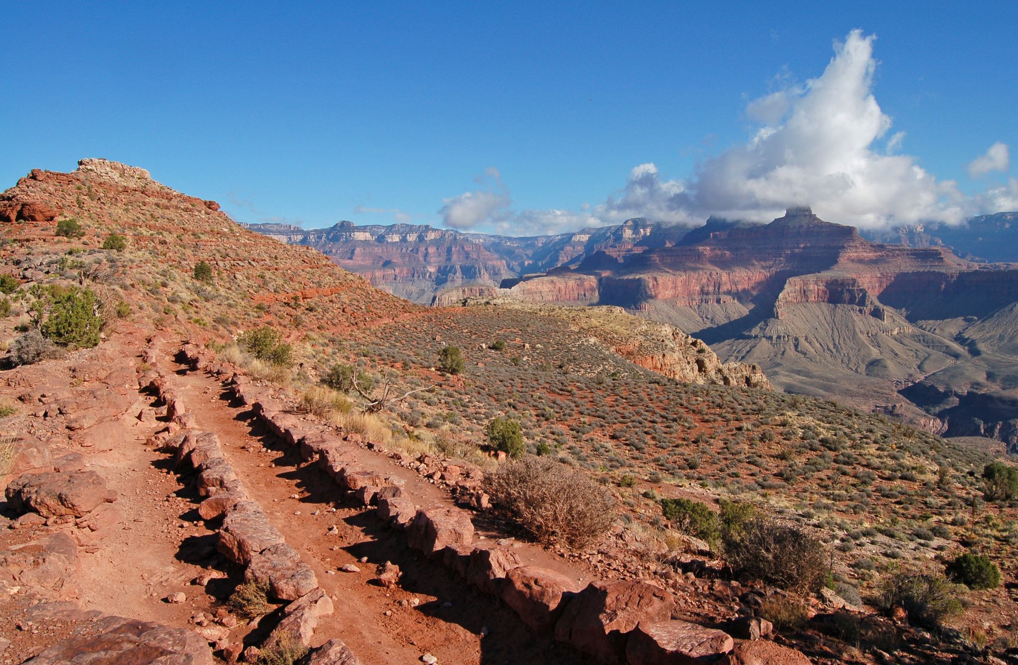
Rim-to-Rim-to-Rim — Fastpacking into the Grand Canyon’s heart

Arizona Trail — A beautiful 800-mile struggle

The Arizona Trail — From Mexico to Utah in 43 days
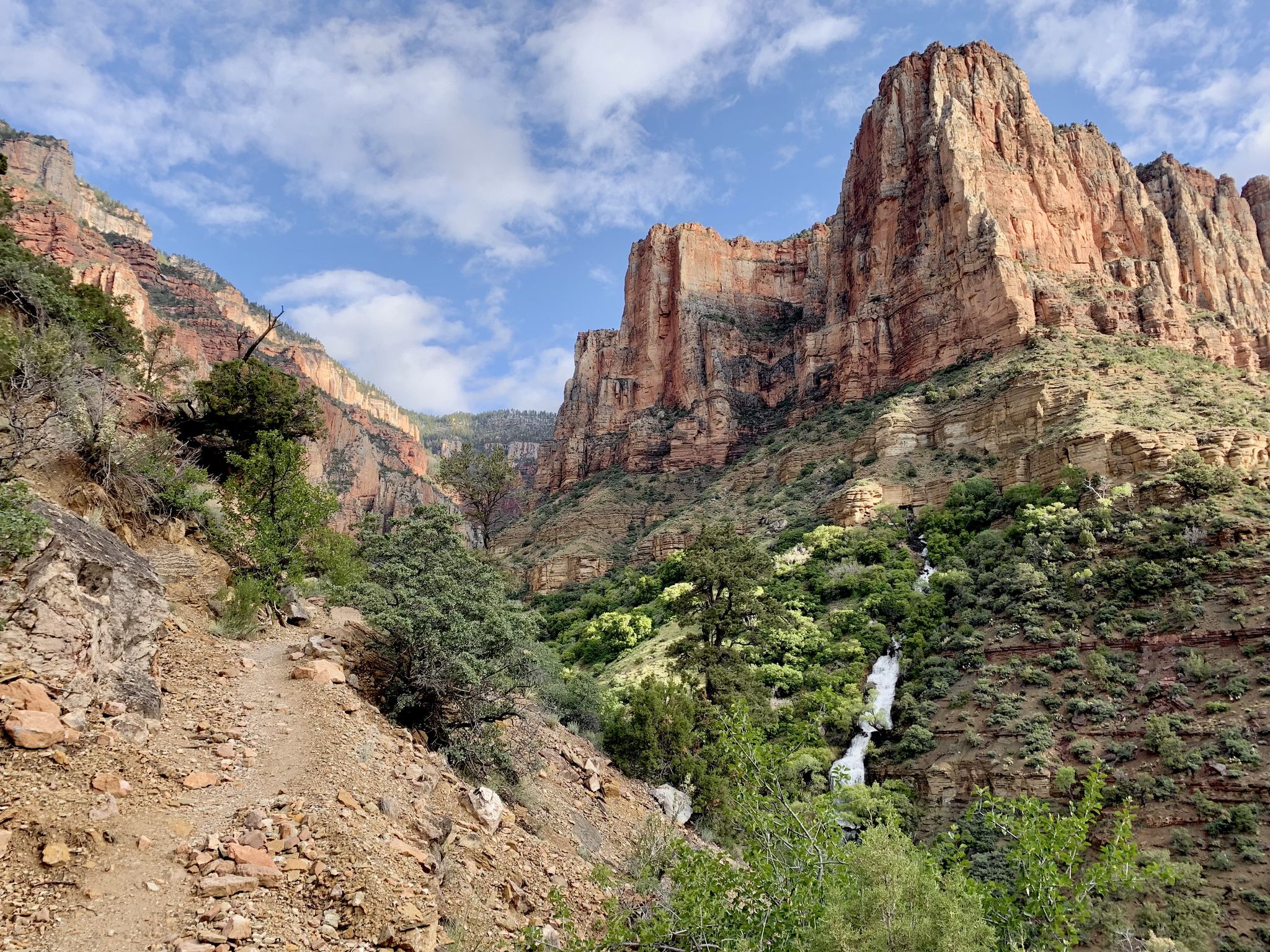
Rim-to-Rim-to-Rim – top to bottom through the Grand Canyon

Historic Route 66 – curiosities, selfie spots and diners
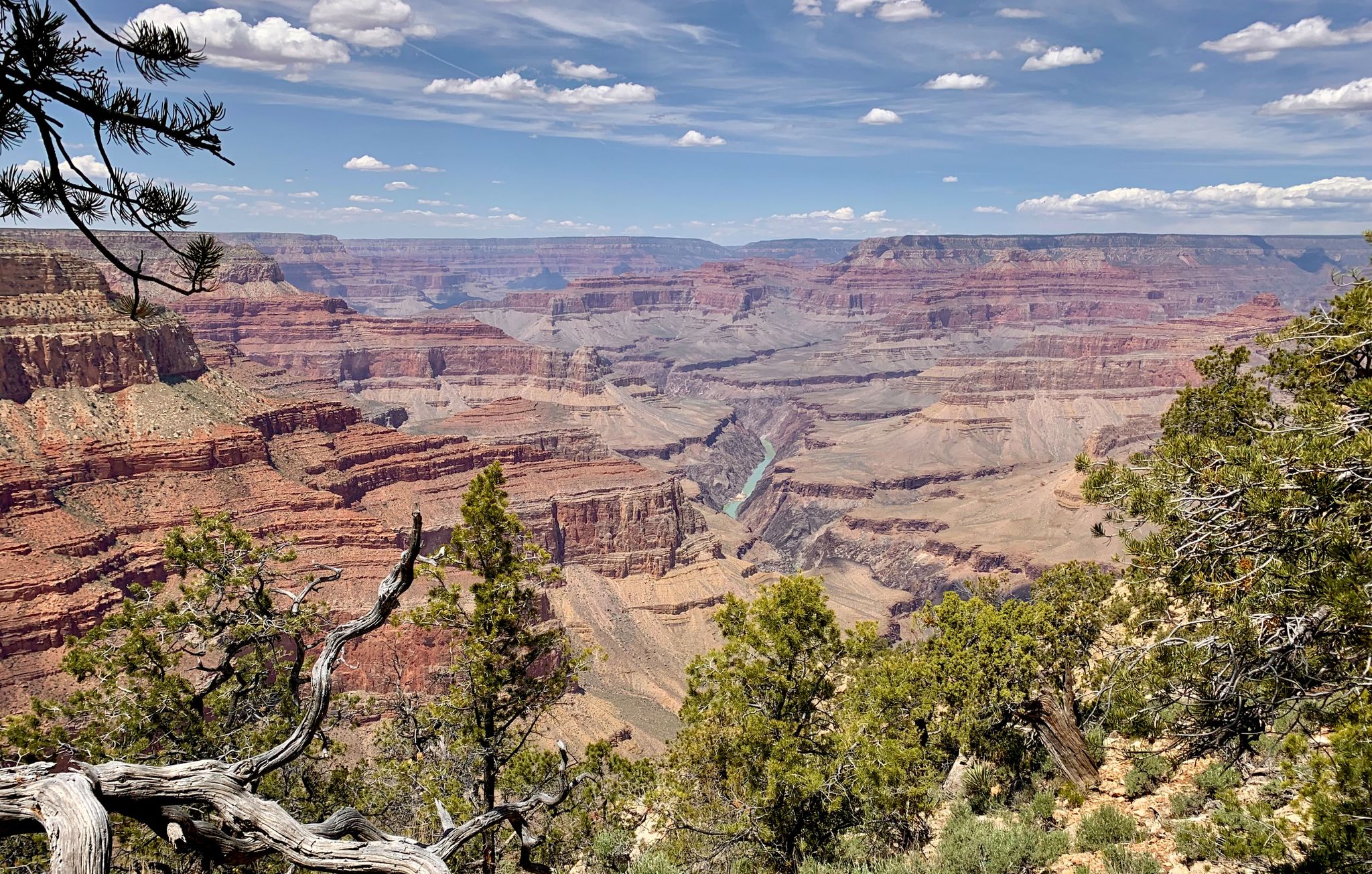
Arizona to Colorado – national parks and Native American culture
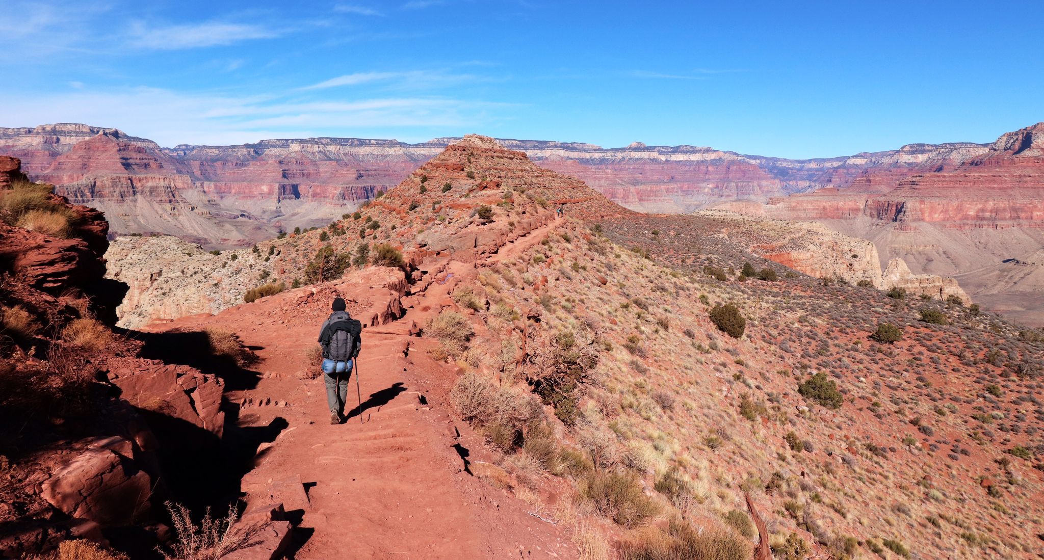
An unforgettable winter hike through the Grand Canyon
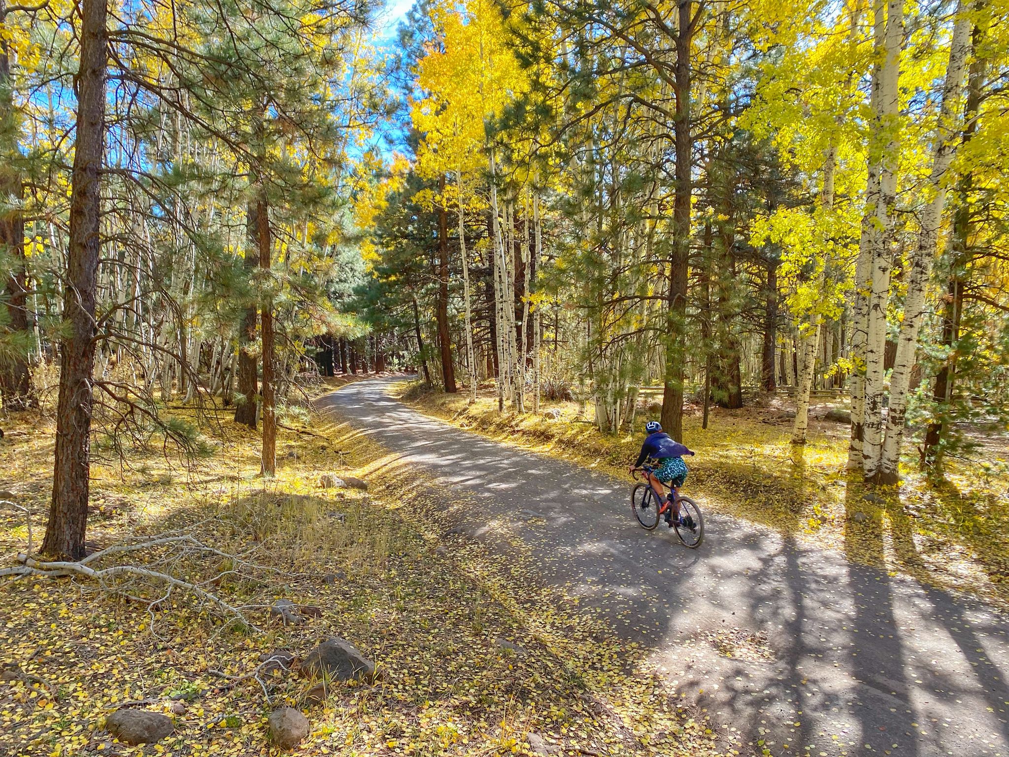
Grand Canyon to Mount Humphreys — a run, bike, run adventure
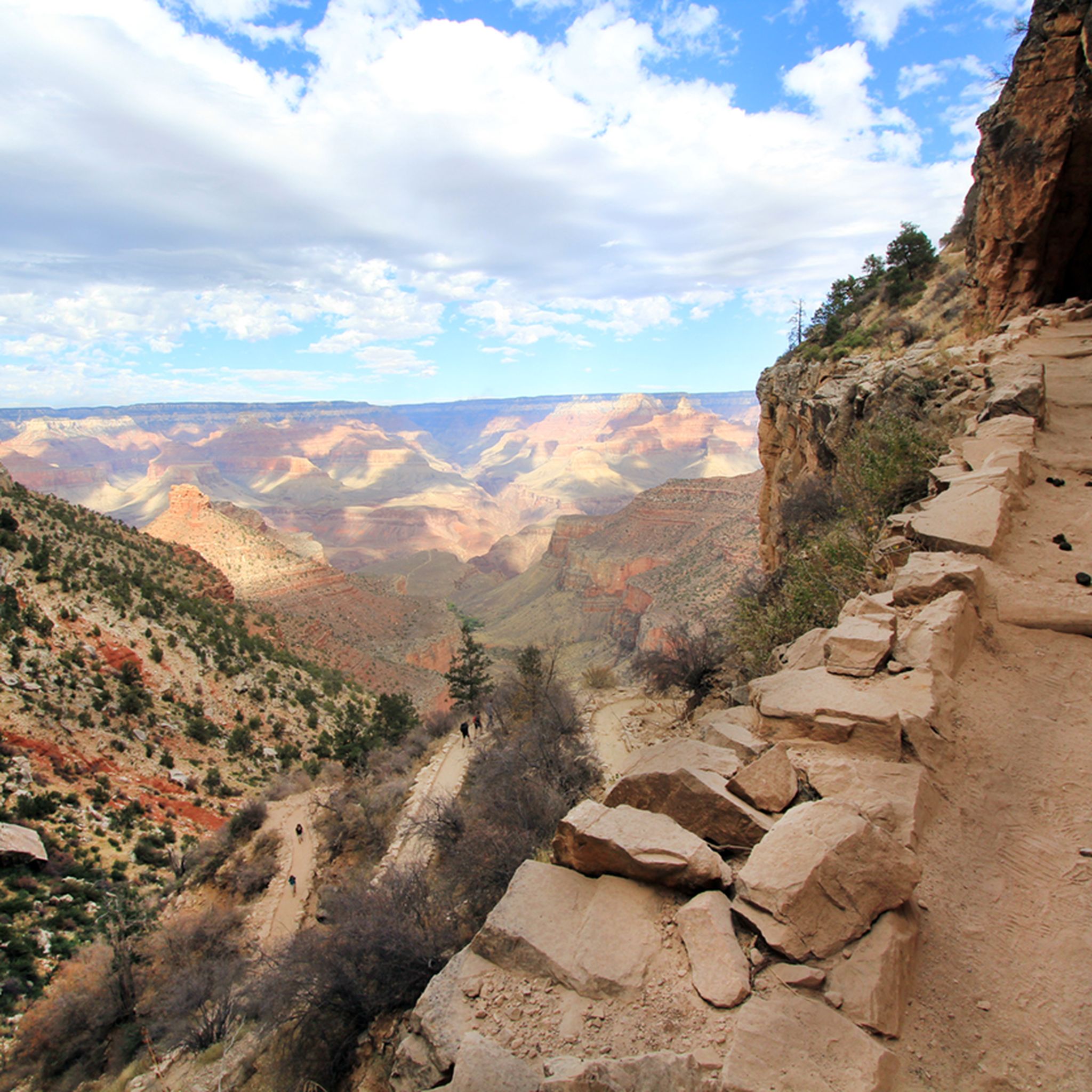
Hiking around Grand Canyon Village
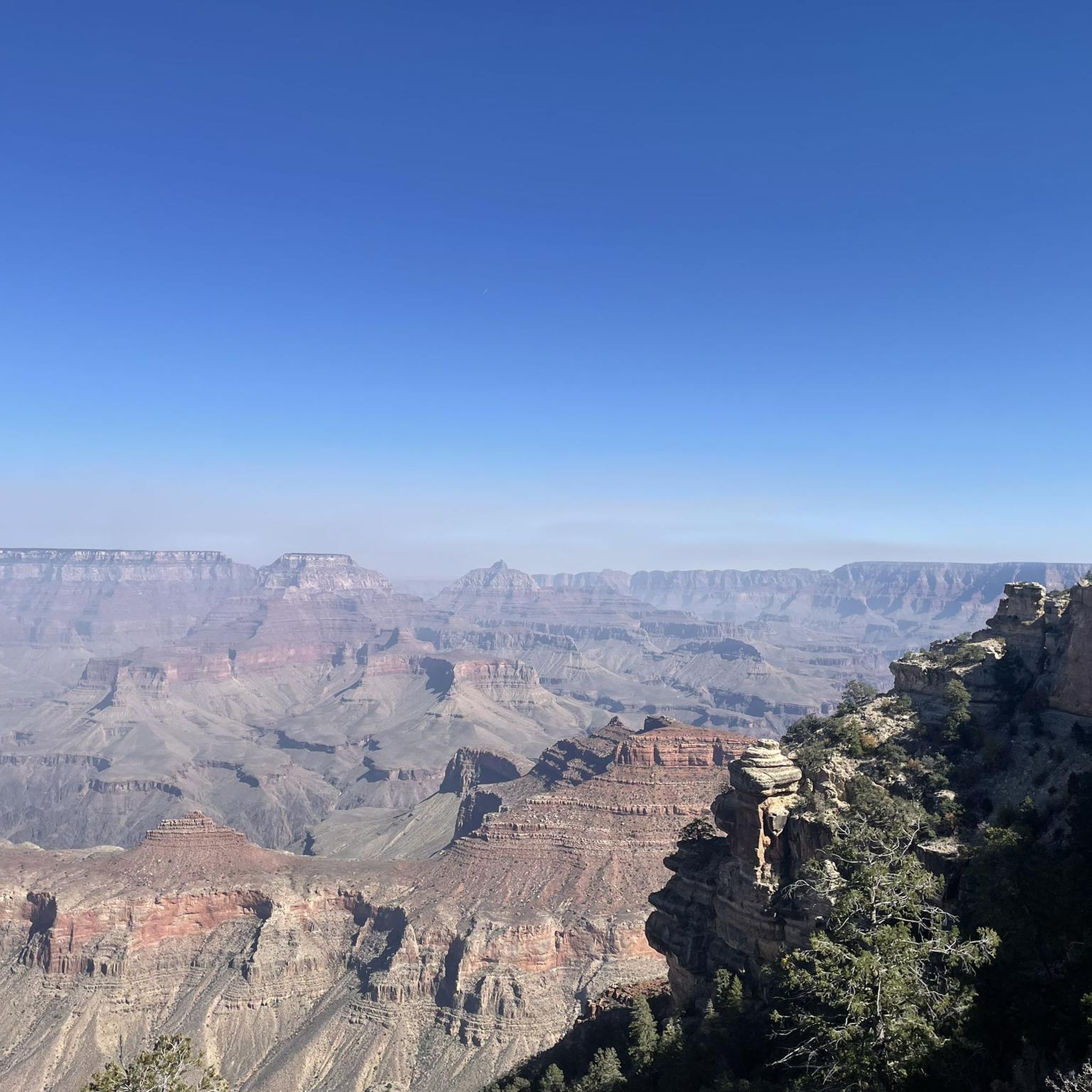
Road Cycling Routes around Grand Canyon Village
Other adventures around Grand Canyon Village


Tips from the Community

October
0
0

Once you've descended past the tunnel, look up to your left to see some amazing petroglyphs, including very-detailed deer done in red, with beautiful antlers!
0
0
Unlike at the 3-mile resthouse, this resthouse does not have benches inside the shelter
0
0

I can recommend starting here in the morning and then gradually making your way back along the rim on foot or by shuttle bus. Super impressive
1
0


The point that offers you a beautiful panoramic view of the natural wonders of the Canyon. A famous place, mainly because you can get close to the Canyon. At an elevation of 2136 meters you have a great view of the Pipe Creek Canyon and the Inner Gorge of the Colorado River. From here it is a 1.1km hike to Yavapai Point.
5
0

Hermit's Rest is the endpoint of a stunning and epic ride in the Grand Canyon. Built in 1914, the structure is named after Louis Boucher, a Canadian-born prospector who staked claims near the site around 1891. With help, Boucher carved the trail into the canyon and lived alone at nearby Dripping Springs for many years. The ride is smooth and scenic, offering breathtaking canyon views. No cars are allowed on Hermit Road, making the experience even better, though shuttle buses still run. There's a small snack bar at Hermit’s Rest for a quick break. This is a must-do for any cycling enthusiast!
1
0
Frequently Asked Questions
How many running routes are available in Grand Canyon Village?
There are over 45 running routes around Grand Canyon Village, offering a wide range of options for all skill levels. You'll find everything from relatively flat rim paths to challenging descents into the canyon.
Are there easy running trails suitable for beginners or casual joggers?
Yes, Grand Canyon Village offers several easier options. The Rim Trail is an excellent choice, especially sections of its 14-mile length that are relatively flat and follow the canyon's edge. Another convenient option is the Village Loop Running Trail, which circles the South Rim Village itself.
What are some challenging running routes for experienced trail runners?
For experienced trail runners seeking a challenge, the Bright Angel Trail offers a significant descent into the canyon, though the ascent is considerably more strenuous. Another difficult option is the South Kaibab Trail to Skeleton Point, known for its panoramic views and demanding elevation changes.
Can I bring my dog on any of the running trails?
Yes, the Rim Trail is dog-friendly, allowing you to enjoy a run with your canine companion along the canyon's edge. Please ensure your dog is on a leash and you clean up after them.
Are there any family-friendly running routes in Grand Canyon Village?
For families, sections of the Rim Trail are ideal due to their relatively flat terrain and stunning views. The Trail of Time, a specific section of the Rim Trail between Yavapai Geology Museum and the Grand Canyon Visitor Center, is also great for a leisurely walk or jog, offering educational insights into the canyon's geology.
What kind of views and landmarks can I expect along the running routes?
The running routes in Grand Canyon Village offer unparalleled views of the Grand Canyon itself, with its intricate layers of rock. You'll encounter numerous scenic viewpoints like Mohave Point, Ooh Aah Point, and Cedar Ridge. You can also pass by historic structures like Hermit's Rest and educational sites like the Yavapai Geology Museum.
What is the best time of year to go running in Grand Canyon Village?
Spring and fall generally offer the most pleasant running conditions with moderate temperatures. Summer can be very hot, especially on trails descending into the canyon, while winter can bring snow and ice, making some rim trails challenging. Always check weather conditions before heading out.
Are there any loop running trails available?
Yes, there are several loop options. For instance, the Great Viewpoint – Bright Angel Trailhead loop offers a scenic circuit. The Village Loop Running Trail also provides a convenient loop within the village area.
What do other runners enjoy most about jogging in Grand Canyon Village?
The running routes in Grand Canyon Village are highly rated by the komoot community, with an average score of 4.75 stars from over 17 reviews. Runners consistently praise the breathtaking panoramic views, the unique geological formations, and the opportunity to experience one of the world's most iconic natural wonders up close.
Are there any facilities or rest stops along the trails?
On some popular trails, you'll find facilities. For example, the 1.5-Mile Resthouse is available on the Bright Angel Trail. Along the Rim Trail, you'll find visitor centers and viewpoints with amenities in Grand Canyon Village itself.
Where can I find parking for the running trails?
Parking is available at various points along the South Rim, including near major trailheads like Bright Angel Trailhead and South Kaibab Trailhead, as well as at the Grand Canyon Visitor Center. During peak season, parking can fill up quickly, so arriving early or utilizing the park's shuttle system is recommended.
Most popular routes around Grand Canyon Village
Most popular attractions around Grand Canyon Village

Get inspired with the komoot mobile app


Explore more
Browse the best Running Trails & Routes in other regions.
