The best walks and hikes in Hyalite-Porcupine-Buffalo Horn Wilderness Study Area
4.7
(11)
477
hikers
37
hikes
Hikes in Hyalite-Porcupine-Buffalo Horn Wilderness Study Area explore a rugged landscape within the Gallatin National Forest. The region is characterized by high-elevation peaks, alpine lakes, and forested valleys containing numerous waterfalls. The trail network provides a range of options from accessible walks to challenging mountain ascents.
Best hiking trails in Hyalite-Porcupine-Buffalo Horn Wilderness Study Area
- The most popular hiking route is Heather Lake via Emerald Lake Trail — Hyalite-Porcupine-Buffalo Horn Wilderness Study Area, a 11.0 mile (17.7 km) trail…
Last updated: August 7, 2026
13
hikers
9.66km
02:53
340m
250m
The Hyalite Creek Trail offers a moderate hiking experience through a stunning glacial U-shaped canyon. As you hike, you will pass through dense coniferous forests and open meadows, with the…
5
hikers
5.32km
01:29
100m
100m
The Porcupine Creek Trail in Montana offers a delightful journey through pleasant spruce and pine forests, frequently opening up to sunny, grassy slopes dotted with limber pines. You'll follow the…

Sign up for free
1
hikers
4.35km
01:12
80m
70m
The Westshore Trail #431 offers a wonderfully accessible outdoor experience within the stunning Gallatin Range, perfect for a leisurely hike. This easy 2.7-mile (4.3 km) route, with a gentle 274…
3.70km
01:10
230m
20m
The Blackmore Lake Trail offers a delightful, relatively short hike through dense pine forests and open meadows, leading you to the serene Blackmore Lake. As you ascend, you'll encounter well-maintained…
563m
00:10
40m
0m
The Petrified Forest Interpretive Trail offers a unique journey through ancient geological history in Montana's Gallatin National Forest. This easy 0.3-mile (0.6 km) hike, with a modest 116 feet (35…
29
hikers
17.7km
05:25
640m
640m
Hike the challenging 11.0 miles Hyalite Creek Trail in Hyalite Canyon, featuring eleven waterfalls and the beautiful Hyalite Lake.
27
hikers
20.8km
07:05
1,070m
1,070m
Hike the challenging Blackmore Trail in Custer Gallatin National Forest, featuring Blackmore Lake and panoramic views from Mount Blackmore's
5.0
(1)
18
hikers
4.52km
01:13
60m
60m
The Crescent Lake Loop from Hyalite Pavillion is a delightful, easy hike that delivers big on scenery without demanding much effort. This 2.8-mile (4.5 km) loop, with just 188 feet…
15
hikers
3.18km
00:55
80m
80m
The Grotto Falls Trail offers a delightful and unique hiking experience, winding through a rich old-growth forest before reaching its star attraction. You'll follow the Trillium Gap Trail, passing towering…
5.0
(1)
17
hikers
17.7km
05:26
650m
650m
Hike the difficult 11.0-mile Emerald Lake Trail in Custer Gallatin National Forest, gaining 2134 feet to reach Heather Lake.
Get access to more routes and recommendations from other explorers.
Sign up for free
Already have an account?
Our route recommendations are based on thousands of hikes, rides, and runs completed by other people on komoot.
Start today with a free account
Your next adventure awaits.
Login or Signup
Popular around Hyalite-Porcupine-Buffalo Horn Wilderness Study Area
Tips from the Community

The Emerald Lake Trail is a challenging trail that takes you past Emerald Lake and Heather Lake. The trail climbs consistently but is never too steep.
0
0
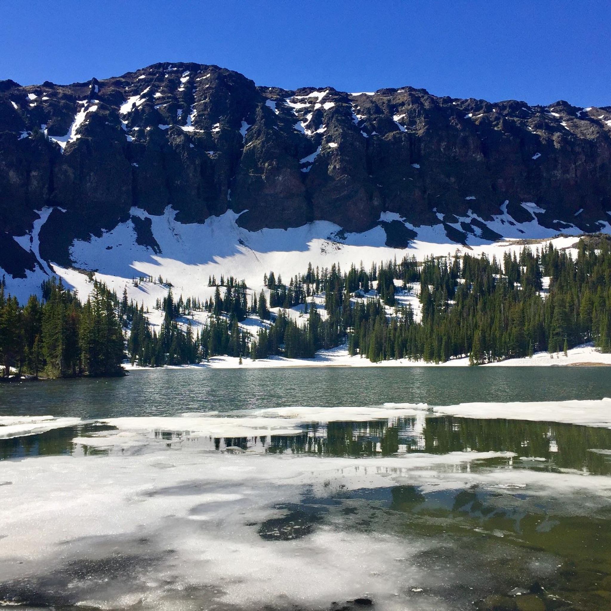
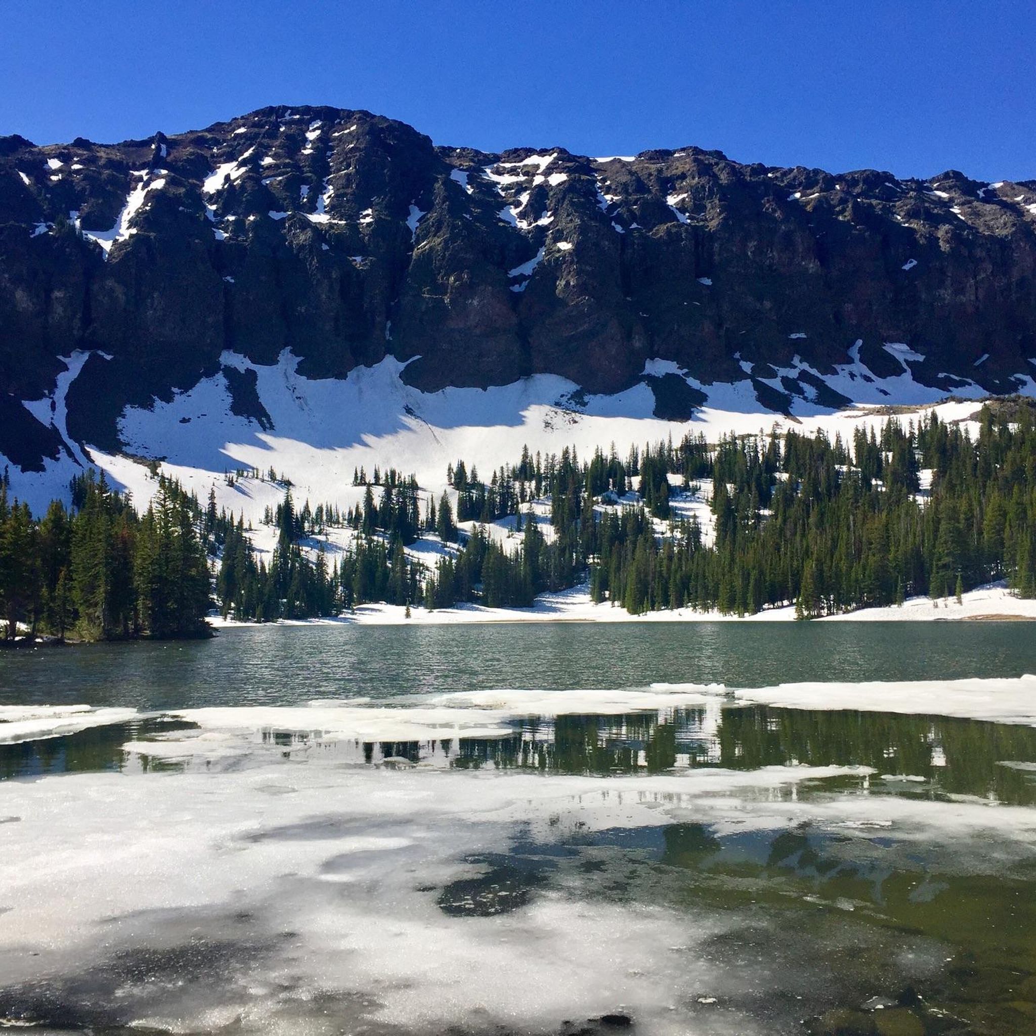
Heather Lake is one of several alpine lakes in the Gallatin Range. It sits at 9,186 ft and is a great place for a break during your hike.
0
0

Great nontechnical hike to the summit of one of Bozeman's iconic southern peaks. A few stream crossings for filtration if you want to go light. Some steeper grades just up from the lake, but mostly very manageable grades, gorgeous views! Mountain goats were seen as well. Highly recommended.
1
0

Easily accessible and beautiful Crescent Lake is a great spot to ride if you're limited on time.
0
0

Grotto Falls is the first of many (nine named) waterfalls on the way up Hyalite Creek Trail towards Hyalite Peak. The trail leading to the falls is easy and wheelchair accessible, and you can even make your way down to the base of the falls to feel water spraying off of the rock walls.
0
0

The spur that leads to the summit of Mt. Blackmore will steal your breath in more than one way. Be ready to earn the summit that stands at just over 10,000 feet. As always, stay aware of changes in weather when climbing exposed peaks, but also keep an eye out for a stunning range of wildflowers while you climb.
0
0
Hyalite Reservoir is a large artificial lake that affords opportunities for day-use hiking, easy strolls, or the perfect launching point for more aggressive, big-mountain singletrack riding. Even if a bit busy, plenty of parking is available.
0
0
Yet another stunning, high-alpine lake in this region that will reward your efforts on the climb and provide an ideal break and snack spot for either the climb or the descent.
0
0
Frequently Asked Questions
What kind of hiking trails are available in the Hyalite-Porcupine-Buffalo Horn WSA?
There are over 25 trails in the area, offering a wide range of experiences. You'll find everything from easy, family-friendly walks along creeks to strenuous, full-day climbs to alpine peaks over 10,000 feet. The network includes 6 easy, 10 moderate, and 10 difficult routes, ensuring options for all fitness levels.
Are there any easy, family-friendly hikes in the area?
Yes, the region has several great options for families. For a very gentle walk, consider the Crescent Lake Loop. It's a relatively flat 2.8-mile (4.5 km) trail around a lake that's perfect for a relaxed outing.
Can I bring my dog on the trails?
Dogs are generally permitted on trails within the Gallatin National Forest, but they must be under voice control or on a leash. Regulations can vary, especially in sensitive wildlife areas or during certain seasons, so it's always best to check for posted signs at trailheads like Moser Creek Trailhead before you start your hike.
What is a good option for a challenging backpacking trip?
For a demanding multi-day adventure, the Skyline Trail to Monument Mountain is an excellent choice. This 15.8-mile (25.5 km) route involves significant elevation gain and rewards backpackers with incredible high-alpine scenery and solitude. Remember to follow all backcountry camping regulations and Leave No Trace principles.
Are there any waterfall hikes besides Grotto Falls?
Absolutely. The Hyalite Creek Trail is famous for passing numerous waterfalls as it winds through the valley. It's a longer, more challenging hike than the one to Grotto Falls, but it offers a fantastic experience for those wanting to see more of the area's cascades.
What is the best time of year to hike in this area?
The prime hiking season is from July through September. During these summer months, the high-elevation trails are typically snow-free, and the meadows are filled with wildflowers. Autumn offers beautiful fall colors and fewer crowds, but be prepared for colder weather and the possibility of early snow.
What kind of wildlife might I see?
The area is a crucial habitat for a variety of wildlife. It's common to see elk, moose, and deer. In the high country, you might spot mountain goats and bighorn sheep. This is also grizzly and black bear country, so it's essential to be bear-aware: carry bear spray, know how to use it, make noise on the trail, and store food properly.
Are there any circular or loop hikes available?
Yes, there are several loop options. For a moderate day out, the Blackmore Lake loop is a 4.5-mile (7.2 km) trail that offers a satisfying circuit. For a more strenuous challenge, the Hyalite Reservoir – Elephant Mountain loop is a difficult 9.6-mile (15.4 km) hike with significant climbing and rewarding views.
What does 'Wilderness Study Area' mean for hikers?
A Wilderness Study Area (WSA) is a roadless area managed to preserve its wilderness character. For hikers, this means you'll experience a more primitive and undeveloped landscape. Trails are generally less maintained than in other parts of the National Forest, and mechanized transport, including bicycles, is often restricted to specific designated trails. For detailed information on WSAs in Montana, you can consult official resources like the Montana Legislative Services Division.
Are any trails shared with mountain bikes or horses?
Yes, many trails in the area are multi-use. For example, the Porcupine Creek and Buffalo Horn trails are open to hikers, horseback riders, and even dirt bikes. Always be aware of other users, yield to horses, and communicate clearly when passing to ensure a safe experience for everyone.
What do other hikers say about the trails in this region?
The trails in the Hyalite-Porcupine-Buffalo Horn WSA are highly regarded by the komoot community, with an average rating of 4.6 stars. Hikers frequently praise the stunning alpine scenery, the abundance of waterfalls, and the variety of trails that cater to different abilities.
Most popular routes in Hyalite-Porcupine-Buffalo Horn Wilderness Study Area

Get inspired with the komoot mobile app


Explore more
Browse the best Hikes in other regions.
