The best road cycling routes in Palisades Wilderness Study Area
5.0
(2)
335
riders
12
rides
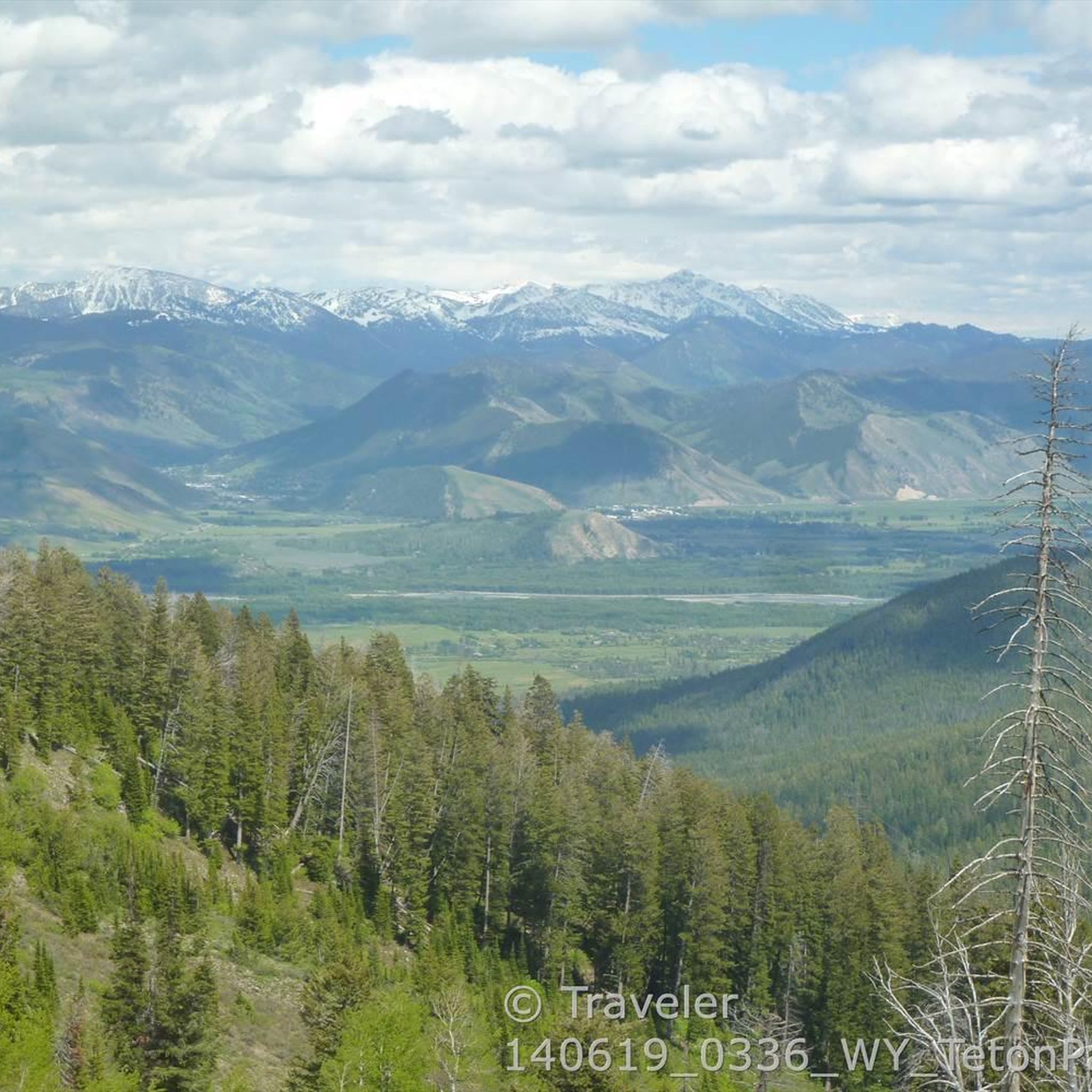
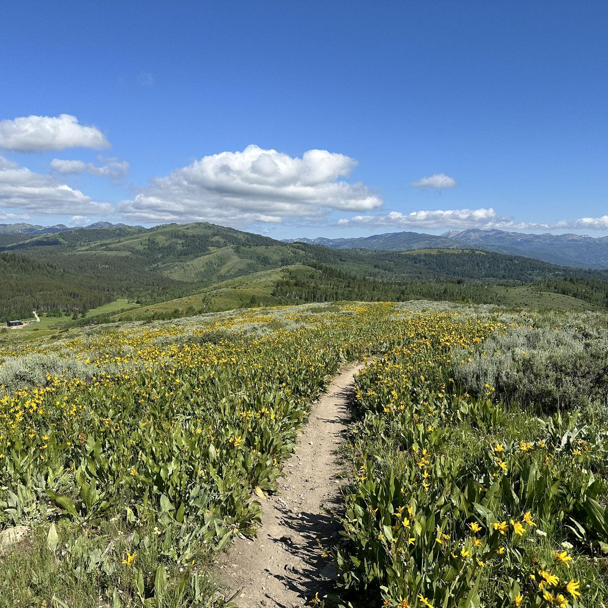
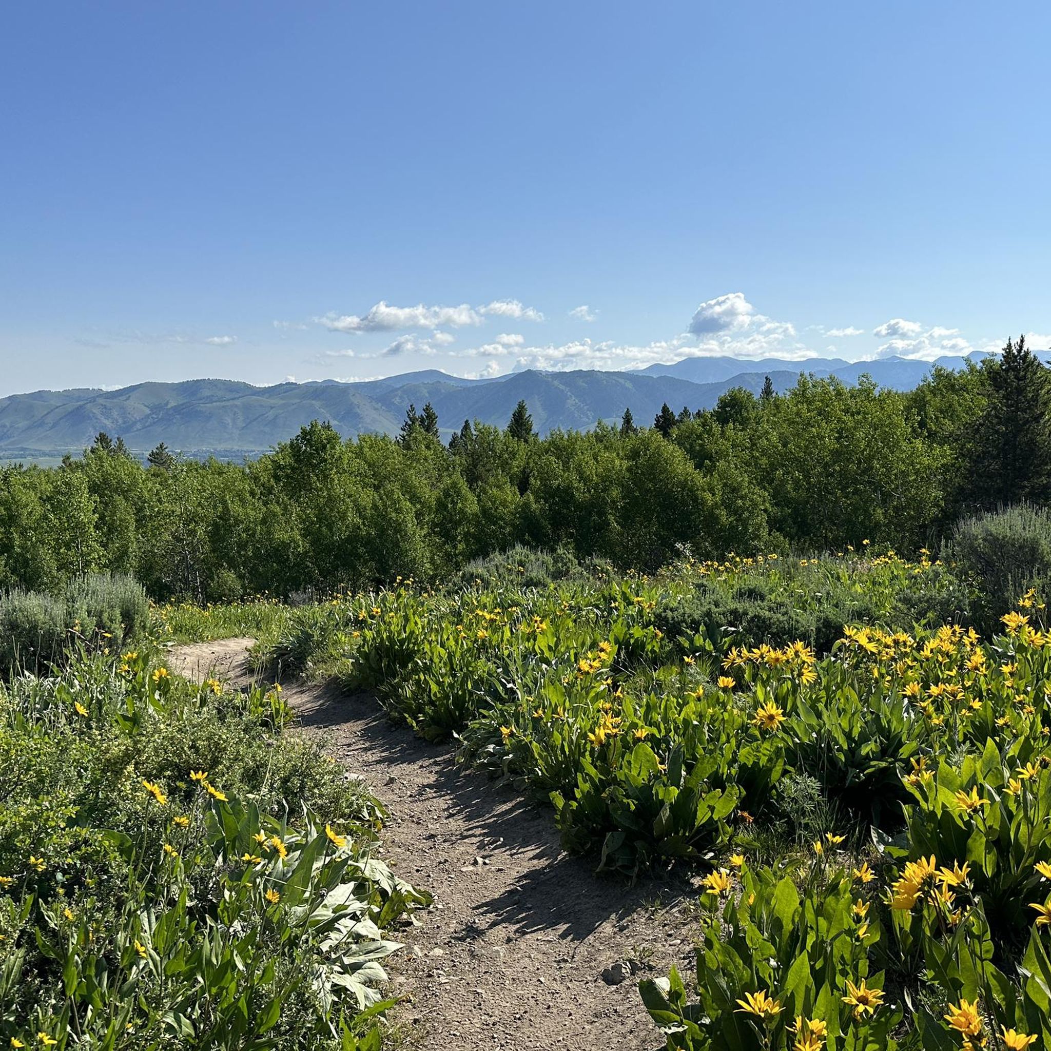
Road cycling in Palisades Wilderness Study Area offers routes primarily along its periphery, characterized by views of the Snake River and proximity to the Grand Teton National Park. The region features a landscape of forested slopes, river valleys, and mountainous backdrops, with elevations varying across the routes. While the core Palisades Wilderness Study Area is rugged, designated road cycling routes provide paved surfaces for exploration. These routes often follow river corridors or roads offering scenic vistas of the surrounding natural…
Last updated: May 16, 2026
33
riders
96.7km
04:09
510m
510m
Moderate road ride. Good fitness required. Some segments of this route may be unpaved and difficult to ride.
26
riders
Moderate road ride. Great for any fitness level. Some segments of this route may be unpaved and difficult to ride.

Sign up for free
22
riders
Moderate road ride. Good fitness required. Mostly well-paved surfaces and easy to ride.
16
riders
64.8km
04:23
600m
600m
Moderate road ride. Good fitness required. Some segments of this route may be unpaved and difficult to ride.
15
riders
40.9km
01:45
220m
220m
Moderate road ride. Great for any fitness level. Some segments of this route may be unpaved and difficult to ride.
13
riders
31.0km
01:23
250m
250m
Moderate road ride. Great for any fitness level. Some segments of this route may be unpaved and difficult to ride.
15
riders
28.8km
01:14
100m
100m
Easy road ride. Great for any fitness level. Mostly well-paved surfaces and easy to ride.
5
riders
23.7km
01:32
700m
700m
Moderate road ride. Good fitness required. Mostly well-paved surfaces and easy to ride.
Get access to more routes and recommendations from other explorers.
Sign up for free
Already have an account?
Our route recommendations are based on thousands of hikes, rides, and runs completed by other people on komoot.
Start today with a free account
Your next adventure awaits.
Login or Signup
Popular around Palisades Wilderness Study Area
Tips from the Community


Good skiing and tobogganing in winter.
0
0
Winter quarters of the Grand Teton deer herd.
0
0
Frequently Asked Questions
What kind of terrain can I expect on road cycling routes in the Palisades Wilderness Study Area?
Road cycling routes in the Palisades Wilderness Study Area primarily follow paved surfaces along its periphery, offering views of the Snake River and proximity to Grand Teton National Park. You'll encounter a landscape of forested slopes and river valleys. While the core WSA is rugged, designated road cycling routes provide paved surfaces for exploration, often following river corridors or roads with scenic vistas. Routes vary from easy loops with minimal elevation to more challenging climbs, such as the Teton Pass Summit loop from Hardeman Barns, which features significant elevation gain.
Are there any easy road cycling routes suitable for beginners or families?
Yes, the Palisades Wilderness Study Area offers several easy road cycling routes. For instance, the View of Snake River – Snake River Bridge loop from Teton Science Schools is an easy 16.6 km (10.3 miles) route with minimal elevation gain, making it suitable for those seeking a relaxed ride. Another easy option is the Snake River Bridge – View of Snake River loop from Moose Wilson Road.
What are some challenging road cycling routes for experienced riders?
For experienced riders seeking a challenge, the Teton Pass Summit loop from Hardeman Barns is a notable option. This 23.7 km (14.7 miles) route involves significant elevation gain, leading through mountainous terrain to the Teton Pass Summit. Another moderate route with substantial climbing is the View of Snake River loop from Alpine, covering 64.8 km (40.3 miles) with nearly 600 meters of ascent.
What natural features and landmarks can I see along the road cycling routes?
Road cycling routes in the Palisades Wilderness Study Area offer views of the Snake River and surrounding mountain ranges. You can expect to see forested slopes and river valleys. Notable landmarks and viewpoints include the Teton Pass Summit and the Teton Pass - Jackson Hole Community Pathway summit. Some routes also provide vistas of Grand Teton National Park. The region is known for its diverse habitats, including extensive subalpine fir and Engelmann spruce forests.
Is it possible to spot wildlife while road cycling in this area?
Yes, the Palisades Wilderness Study Area is a critical habitat corridor for a variety of wildlife. While cycling, you might spot mule deer, elk, or moose. Black bears are also present, and the rare wolverine inhabits the area. Maintaining a respectful distance and being aware of your surroundings is always recommended.
What is the best time of year to go road cycling in the Palisades Wilderness Study Area?
The best time for road cycling in the Palisades Wilderness Study Area is typically during the warmer months, from late spring through early autumn. During this period, roads are generally clear of snow, and the weather is more favorable. The region's elevations range from 6,000 to over 11,000 feet, so conditions can vary, especially at higher altitudes. Always check local weather and road conditions before heading out.
Are there any loop trails for road cycling?
Yes, many of the road cycling routes in the Palisades Wilderness Study Area are designed as loops. Examples include the View of Snake River loop from Jackson Hole Classical Academy, the Grand Teton National Park – View of Snake River loop from Moose Wilson Road, and the Lake Creek – Moose Junction loop from Moose Wilson Road. These loops offer varied distances and scenery, allowing you to start and end at the same point.
What do other road cyclists think about the routes in Palisades Wilderness Study Area?
The road cycling routes in the Palisades Wilderness Study Area are highly rated by the komoot community, with an average score of 5.0 stars from over 2 reviews. Cyclists often praise the scenic views along the Snake River and the diverse terrain that offers options for different ability levels, from easy loops to more challenging climbs.
Are there any specific regulations or permits required for road cycling in the Palisades Wilderness Study Area?
While the Palisades Wilderness Study Area is primarily managed for its wilderness character, road cycling typically occurs on established public roads and designated pathways on its periphery. Generally, no specific permits are required for road cycling on these public thoroughfares. However, it's always advisable to be aware of any local regulations, especially if your route takes you into specific park areas or private lands. The area is within the Bridger-Teton National Forest, so general forest regulations apply.
Where can I find parking for road cycling routes?
Parking availability will depend on the specific starting point of your chosen route. Many routes begin near towns or established access points where parking facilities are available. For routes like the View of Snake River loop from Jackson Hole Classical Academy, you would typically find parking near the starting location in Jackson Hole. Always check the route details or local signage for designated parking areas.
Are there any cafes or places to eat near the road cycling routes?
While the Palisades Wilderness Study Area itself is remote, many road cycling routes are located near the periphery, offering access to amenities in nearby towns. Jackson, Wyoming, for example, is a hub with numerous cafes, restaurants, and accommodation options that cyclists can access before or after their rides. It's recommended to plan your route to include stops in these towns if you require refreshments or meals.
How many road cycling routes are available in the Palisades Wilderness Study Area?
There are over 15 road cycling routes available for exploration in the Palisades Wilderness Study Area. These routes offer a variety of distances and difficulty levels, from easy rides to more challenging ascents, catering to different preferences and fitness levels.
Most popular routes in Palisades Wilderness Study Area
Most popular attractions in Palisades Wilderness Study Area

Get inspired with the komoot mobile app


Explore more
Browse the best Road cycling routes in other regions.
