The best walks and hikes in Palisades Wilderness Study Area
5.0
(2)
113
hikers
23
hikes
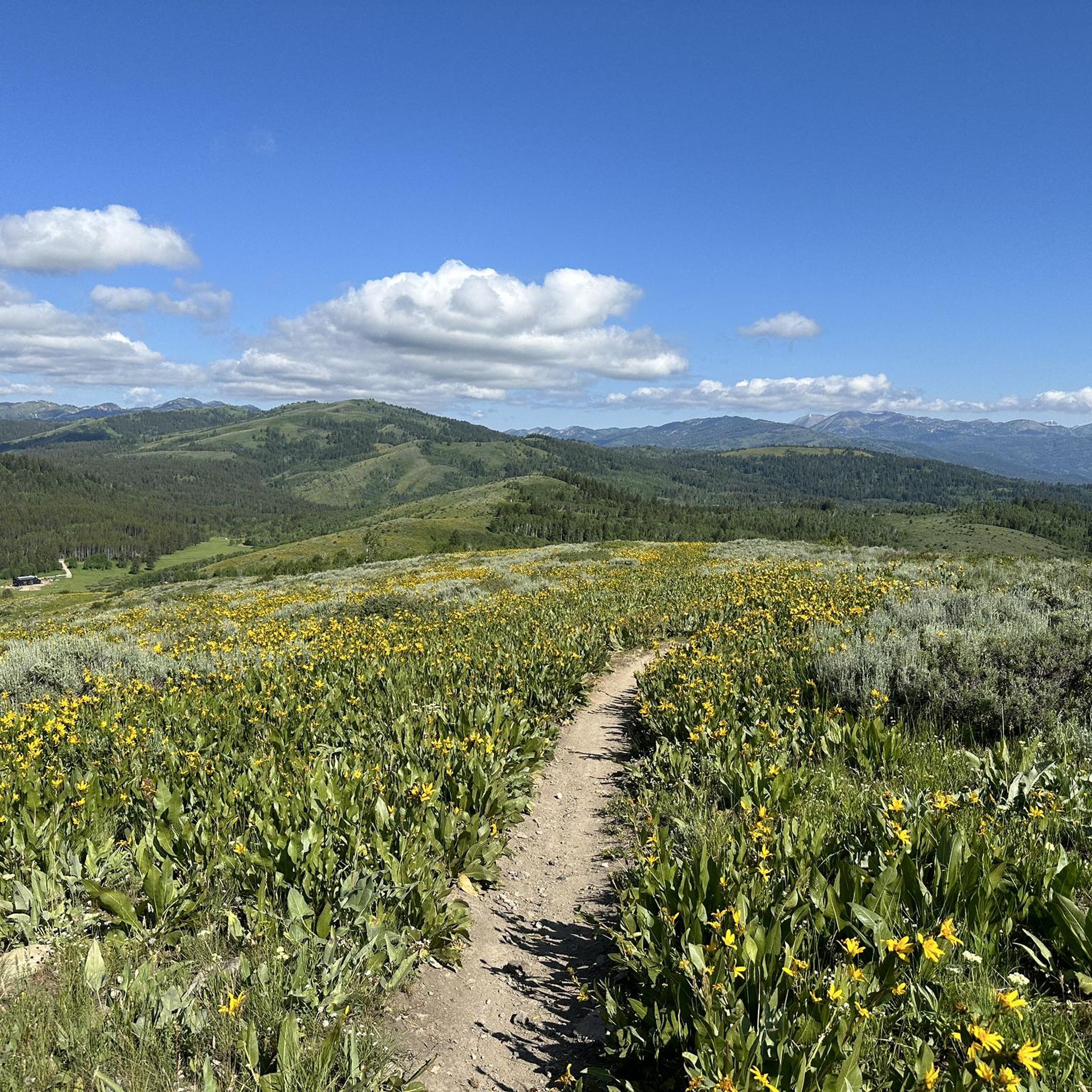
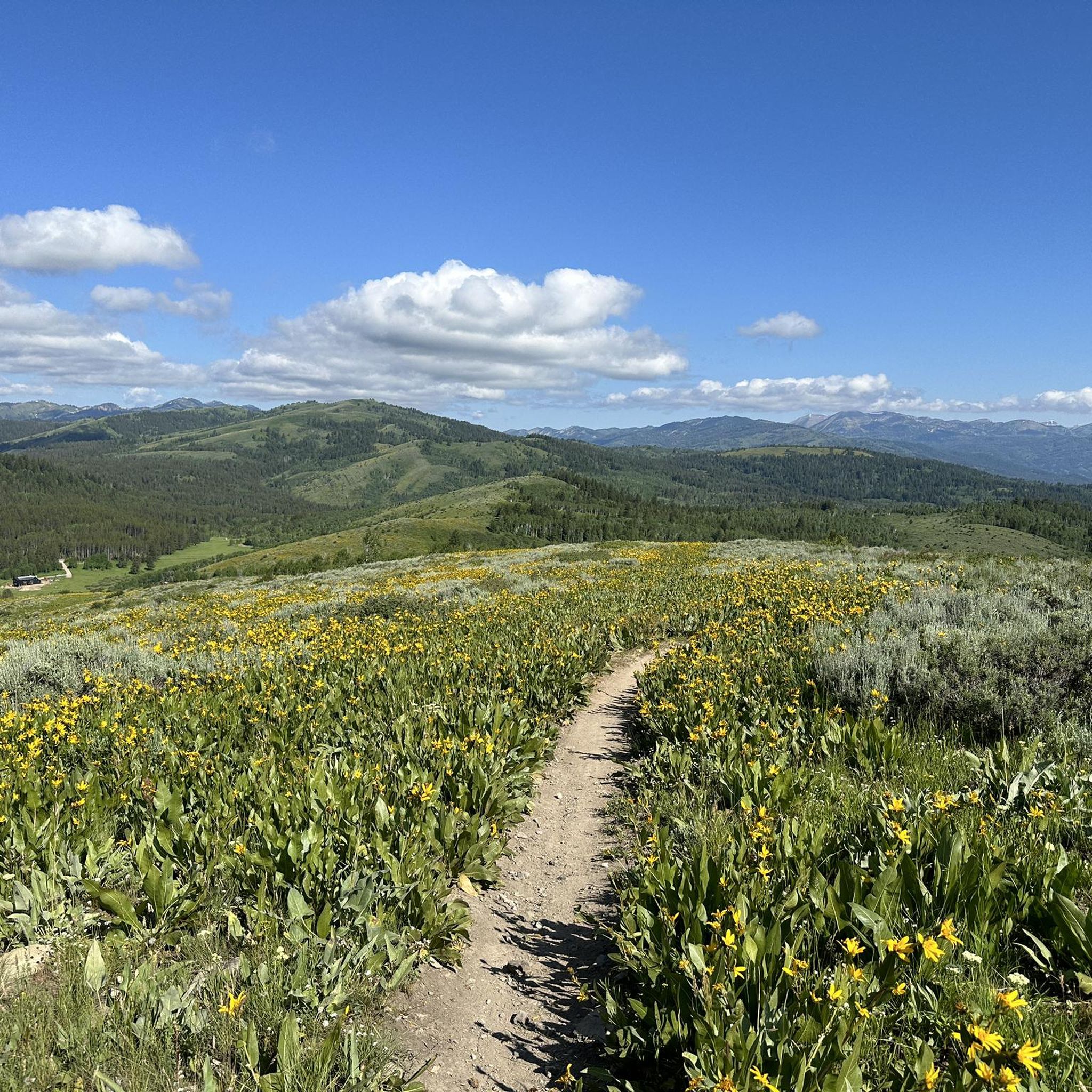
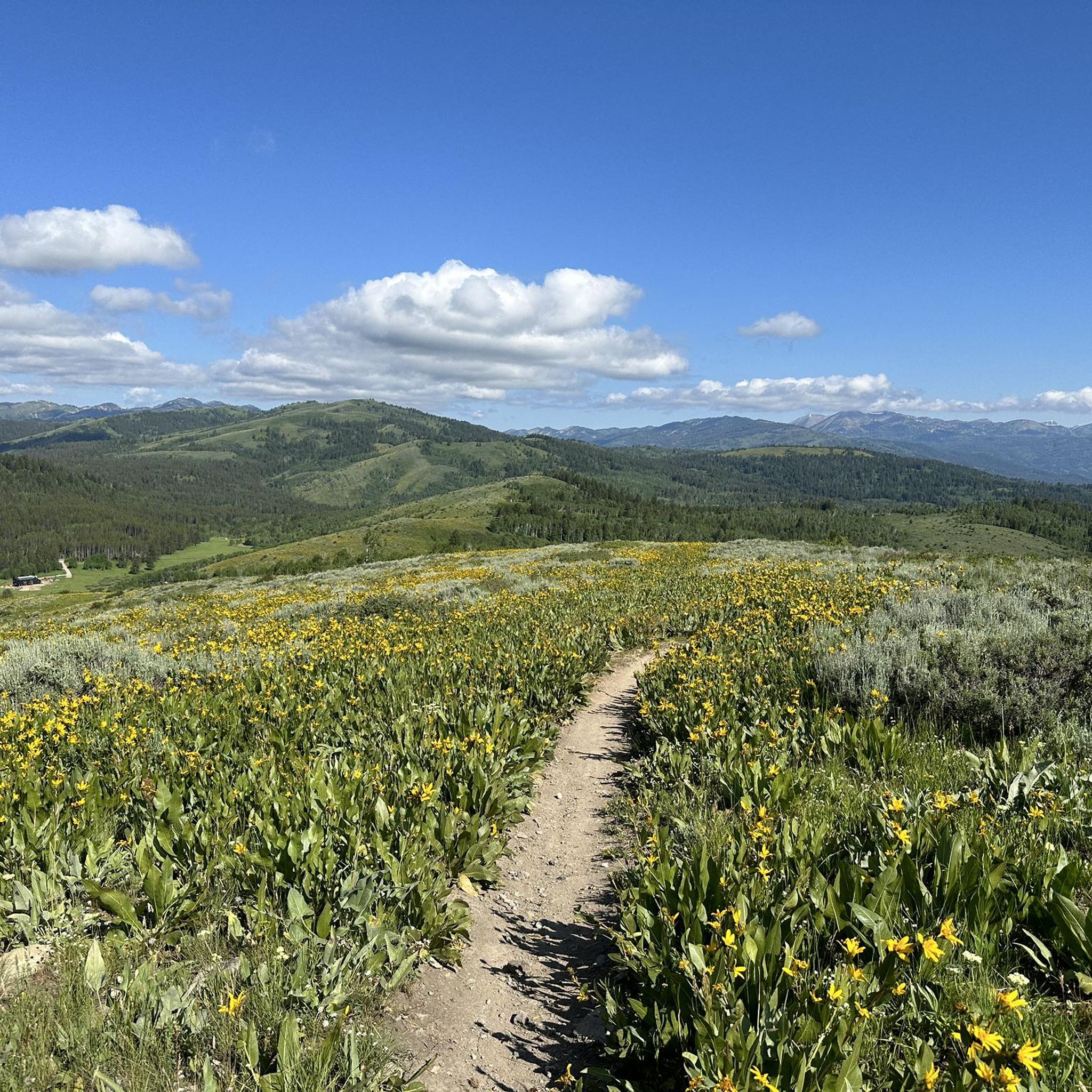
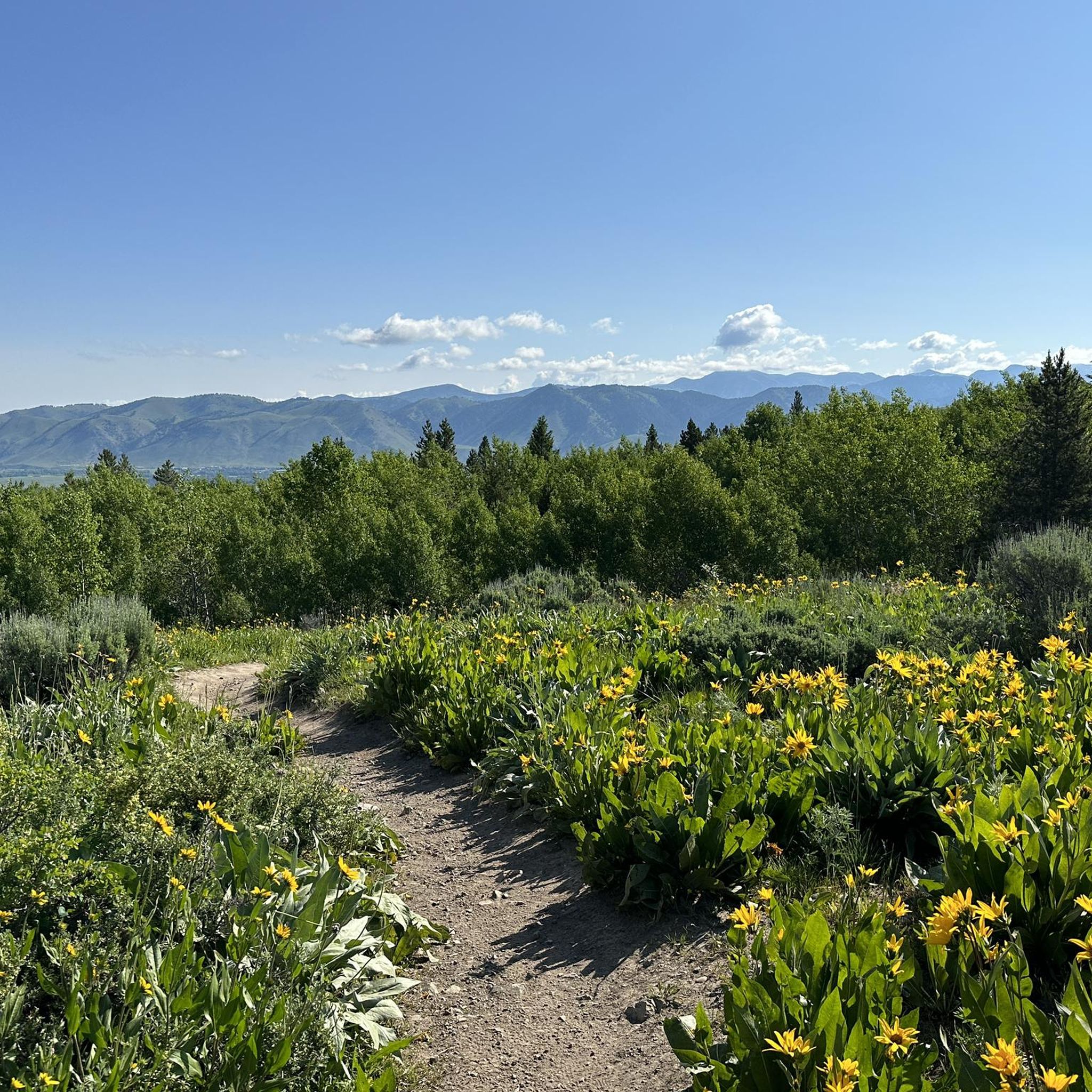
Hiking in Palisades Wilderness Study Area explores the rugged terrain of the Snake River Range in northwestern Wyoming. The region is characterized by its dissected topography and challenging mountain landscapes, featuring significant elevation changes alongside more gentle paths. Hikers can traverse through a mix of spruce-fir forests and sagebrush steppe, leading to subalpine lake basins. The area offers opportunities for solitude and panoramic views of Jackson Hole and the Teton Range.
Best hiking trails in Palisades Wilderness Study Area
- The…
Last updated: May 12, 2026
2
hikers
3.01km
01:01
250m
0m
Embark on an easy hike along the Mount Elly via Black Canyon Trail, a 1.9-mile (3.0 km) route that takes about 1 hour to complete. You will gain 814 feet…
1
hikers
6.98km
02:54
920m
10m
Embark on the Taylor Mountain Trail for a rewarding, albeit difficult, hiking experience. This route spans 4.3 miles (7.0 km) and involves a significant climb of 3021 feet (921 metres),…

Sign up for free
1
hikers
4.08km
01:26
210m
210m
Embark on the Alpine North Loop, an easy hiking route that guides you through the diverse landscapes of the Caribou-Targhee National Forest. You will experience a pleasant mix of dense…
19.0km
05:56
920m
310m
Embark on the Pole Canyon and Mikesell Canyon Loop for a challenging hike through diverse landscapes within the Caribou-Targhee National Forest. This difficult route spans 11.8 miles (19.0 km) and…
17.0km
04:30
150m
170m
Hike the moderate 10.6-mile Snake River Paddle Route in Bridger-Teton National Forest, gaining 501 feet in 4 hours and 30 minutes.
2.17km
00:34
30m
0m
Jordan Canyon invites you to an easy hike through the peaceful, forested areas of Caribou-Targhee National Forest. This route offers a refreshing escape into nature, where you can enjoy the…
64.2km
26:48
2,620m
2,880m
Hike the difficult 39.9-mile Teton Crest Trail in Grand Teton National Park, featuring stunning alpine views and glacier-carved canyons.
5.0
(1)
20
hikers
13.9km
05:12
930m
930m
Hard hike. Very good fitness required. Easily-accessible paths. Suitable for all skill levels.
17
hikers
5.11km
01:35
200m
200m
Easy hike. Great for any fitness level. Easily-accessible paths. Suitable for all skill levels.
4
hikers
13.7km
05:00
840m
830m
Hard hike. Very good fitness required. Easily-accessible paths. Suitable for all skill levels.
Get access to more routes and recommendations from other explorers.
Sign up for free
Already have an account?
Our route recommendations are based on thousands of hikes, rides, and runs completed by other people on komoot.
Start today with a free account
Your next adventure awaits.
Login or Signup
Tips from the Community

Schoolroom Glacier sits at around 10,400 feet of elevation. It gets its name from the lateral moraines (sediment deposits) below the ice, which sculpt the mountainside to look like an assembly hall.
0
0
These streams are fed by Petersen Glacier in the north and Schoolroom Glacier in the south, as well as numerous alpine lakes and seasonal snowmelt. They meet at this confluence to form the aptly-named Cascade Creek, which flows down the canyon into Jenny Lake.
0
0
This is a pretty, peaceful valley beneath the towering peaks of the Teton Range. You'll find fields of wildflowers, small alpine lakes, and winding singletrack. The basin is outside of Grand Teton National Park, so as long as you are 200 feet from the trail and any water sources, you can camp for free without a permit (look for pre-existing dispersed camping sites).
0
0
There is an easy gravel path from here to Pass Lake, which yields and epic mirrored view of Spearhead Peak. The west shore of Pass Lake is the boundary of Grand Teton National Park, so as long as you are 200 feet from the trail and any water sources, you can camp for free without a permit (look for pre-existing dispersed camping sites).
0
0
You get a great view into Alaska Basin from the pass. The towering walls of the Tetons are set aflame at golden hour if you hike up from camp to watch the sunset.
0
0
Here the Game Creek Trail meets the Teton Crest Trail (TCT). South of this junction is the start of the Granite Middle/S. Fork backcountry camping zone.
0
0
This is a nice spot to filter water. You can reserve the group site ahead of time if you are hiking with 7+ people, otherwise you can get a permit to camp anywhere in the Granite Middle/S. Fork Zone.
0
0
Beneath the stoic wall of Housetop Mountain you'll find a great spot to picnic, swim, and filter water. There are three 1–6 person campsites up above the lake available with a permit. You can hike back from the water's edge to get a dramatic view over Granite Canyon to the southeast.
0
0
Frequently Asked Questions
Are dogs allowed in the Palisades Wilderness Study Area?
Yes, dogs are generally permitted in the Palisades Wilderness Study Area, but they must be under your control at all times to protect wildlife and other visitors. It's best practice to keep them on a leash, especially on popular trails or in areas where livestock may be present.
What are some good easy hikes for a family day out?
For a relatively gentle outing, the Flat Creek loop from Jackson is a great option. It's a short walk with minimal elevation gain, making it suitable for most ability levels. The area offers several easier trails, perfect for those looking for a less strenuous experience in nature.
Do I need a permit to hike or camp in the Palisades WSA?
Generally, no permits are required for day hiking or dispersed backcountry camping in the Palisades Wilderness Study Area. However, regulations can change, and there may be specific rules regarding campfire restrictions or group size. It's always a good idea to check the latest information on the official Bureau of Land Management (BLM) website before your trip.
How do I get to the trailheads? Is there parking available?
Access to most trailheads is by car, as public transport options are limited in this rugged area. A popular access point is Teton Pass, which serves as a starting point for several trails. Parking is available at trailheads, but spots can fill up quickly, especially on weekends, so arriving early is recommended.
Are there any circular hikes available?
Yes, the region has several excellent loop trails. For a challenging day with rewarding views, consider the Mount Glory – Teton Pass loop from Wilson. This route provides a complete circuit with significant elevation gain, showcasing the dramatic mountain scenery.
What kind of wildlife might I see while hiking?
The Palisades WSA is home to a variety of wildlife. While hiking through the forests and sagebrush steppe, you might encounter mule deer, elk, and various bird species. Black bears and mountain lions also inhabit the area, so it's important to be bear-aware and know how to store food properly if you're camping.
Are there any trails with good viewpoints?
Many trails in the area offer stunning vistas. The Nice view loop from Rafter J Ranch is a moderate hike that, as its name suggests, leads to a rewarding viewpoint over the surrounding landscape.
What are the trail conditions like? Are they well-marked?
The Palisades WSA in Wyoming has approximately 185 miles of trails, ranging from well-maintained paths to more rugged, less-defined routes. While many popular trails are easy to follow, the area is a designated Wilderness Study Area, meaning some routes require good navigation skills. Always carry a map and compass or a reliable GPS device.
What do other hikers think of the trails in this area?
The trails in the Palisades Wilderness Study Area are highly regarded by the komoot community, with an average rating of 4.6 stars. Hikers often praise the challenging terrain, the sense of solitude, and the beautiful subalpine scenery, particularly around the area's lakes and peaks.
Are there any options for multi-day backpacking trips?
Yes, the rugged and expansive terrain is ideal for backpacking. You can connect various trails to create multi-day loops. A demanding but rewarding option is the Teton Pass – Mount Glory loop from Mount Glory, which can be adapted for an overnight trip for experienced backpackers prepared for significant elevation changes.
What is the terrain like in the Palisades Wilderness Study Area?
The terrain is characteristic of the Snake River Range in Wyoming. Expect a mix of steep, challenging ascents, dense spruce-fir forests, and open sagebrush country. The topography is rugged and dissected, with trails often leading to high ridges or into subalpine lake basins.
Are there any waterfalls on the hiking trails?
While the Wyoming Palisades WSA is known for its rugged peaks and subalpine lakes, prominent waterfalls are not a primary feature of its trail system. The similarly named Palisade WSA in Colorado is more famous for its dramatic canyons and waterfalls.
Most popular routes in Palisades Wilderness Study Area
Most popular attractions in Palisades Wilderness Study Area

Get inspired with the komoot mobile app


Explore more
Browse the best Hikes in other regions.
