The best running trails in Rattlesnake National Recreation Area
5.0
(1)
526
runners
98
runs
Jogging in Rattlesnake National Recreation Area offers diverse landscapes for runners, characterized by river valleys and numerous hills. The terrain transitions from open Douglas fir and ponderosa pine parklands at lower elevations to sub-alpine fir and spruce at higher altitudes. Trails often wind through forested areas and open spaces, providing varied terrain for different running preferences. The area's proximity to Missoula makes it an accessible "urban wilderness" for outdoor activities.
Best jogging routes in Rattlesnake National Recreation Area
- The most…
Last updated: May 12, 2026
13
runners
12.4km
01:40
390m
390m
Hard run. Very good fitness required. Mostly paved surfaces. Suitable for all skill levels.
15
runners
Hard run. Very good fitness required. Mostly paved surfaces. Suitable for all skill levels.

Sign up for free
8
runners
9.49km
01:13
330m
340m
Hard run. Very good fitness required. Mostly paved surfaces. Suitable for all skill levels.
8
runners
7.72km
00:48
60m
60m
Moderate run. Good fitness required. Mostly paved surfaces. Suitable for all skill levels.
5
runners
3.77km
00:30
100m
100m
Moderate run. Good fitness required. Mostly paved surfaces. Suitable for all skill levels.
5
runners
8.54km
01:07
250m
240m
Moderate run. Good fitness required. Mostly paved surfaces. Suitable for all skill levels.
6
runners
15.4km
01:41
120m
120m
Hard run. Very good fitness required. Mostly paved surfaces. Suitable for all skill levels.
6
runners
10.1km
01:28
450m
450m
Hard run. Very good fitness required. Mostly paved surfaces. Suitable for all skill levels.
3
runners
5.45km
00:44
180m
180m
Moderate run. Good fitness required. Mostly paved surfaces. Suitable for all skill levels.
3
runners
8.90km
01:00
80m
80m
Moderate run. Good fitness required. Mostly paved surfaces. Suitable for all skill levels.
Get access to more routes and recommendations from other explorers.
Sign up for free
Already have an account?
Our route recommendations are based on thousands of hikes, rides, and runs completed by other people on komoot.
Start today with a free account
Your next adventure awaits.
Login or Signup
Popular around Rattlesnake National Recreation Area


Tips from the Community

There is a great view here of Woody Mountain and the Mount Jumbo Wildlife Management Area. This double-track road is pretty smooth and most bikes can handle the terrain pretty easily.
0
0
The Mount Jumbo Wildlife Management Area sits northeast of Missoula and is filled with hiking, mountain biking, and running trails. There are also a load of double-track trails and fire roads that are perfect for bike touring. This is a really popular spot for outdoor enthusiasts, and you'll likely be sharing the trails with others.
0
0

While technically this trail is rideable in both directions local etiquette suggests that uphill traffic is better taking the parallel Sawmill Gulch Road so that downhill traffic can feel the flow. Whichever direction you ride keep an eye out for oncoming traffic.
0
0
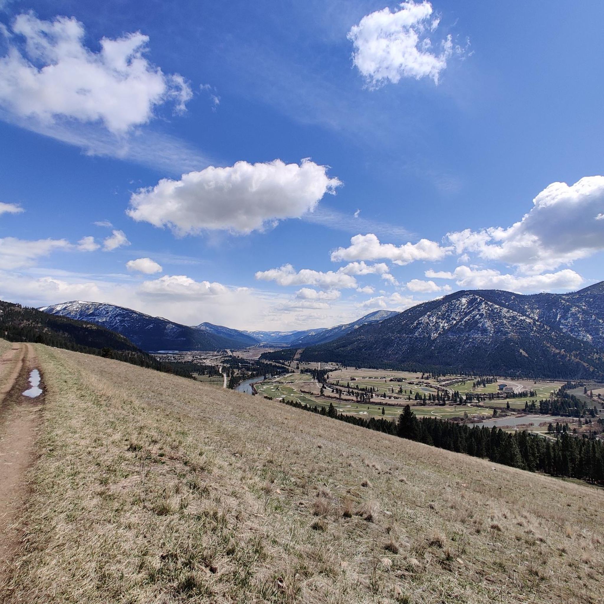
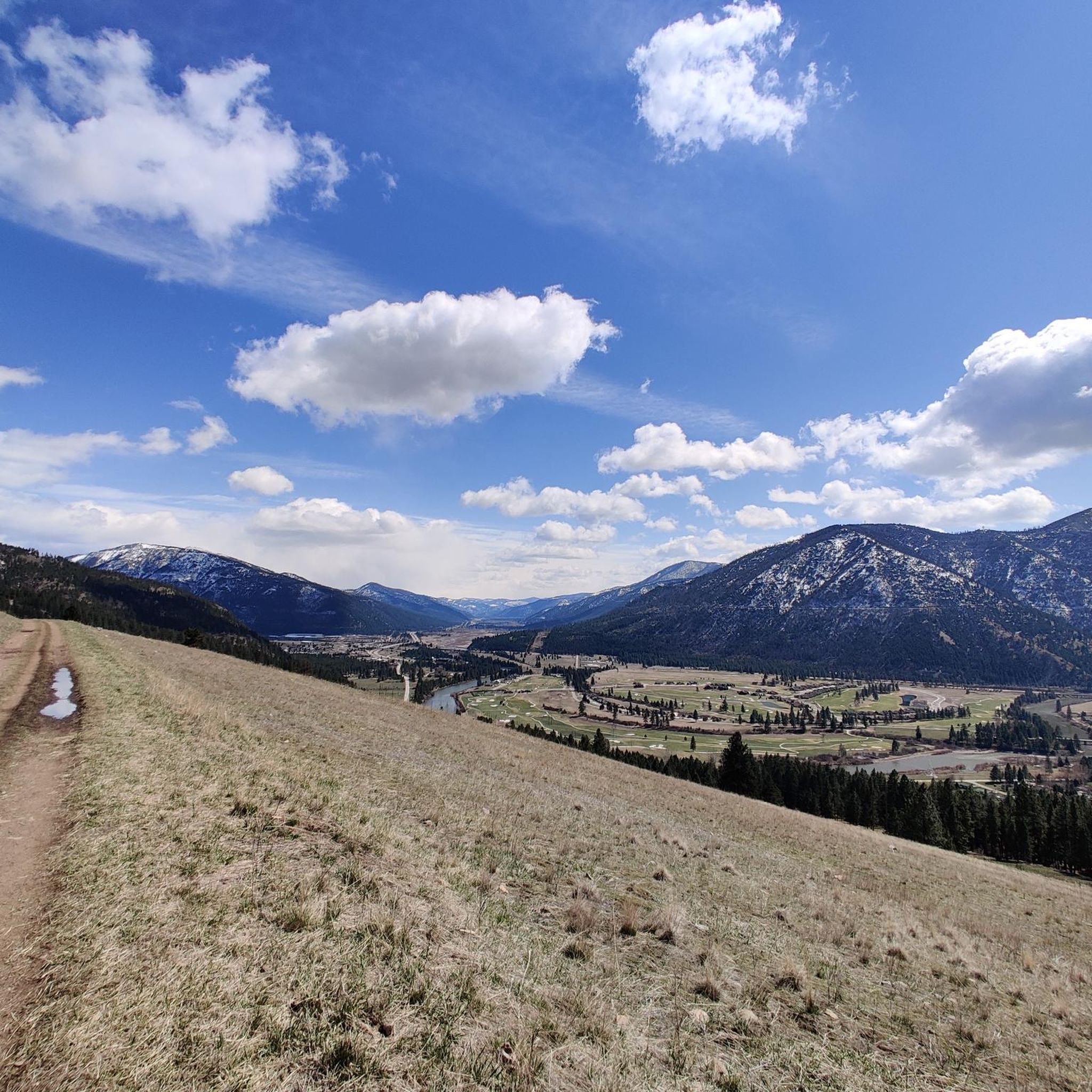
This stretch of riding has incredible views looking down the valley over the bend in the river. There's no doubt you're in Montana here.
0
0
This is the spot for a rest and refuel. Since it's the high spot on the trail it means you've put in the work and deserve a little break before reaping the reward of the descent.
0
0

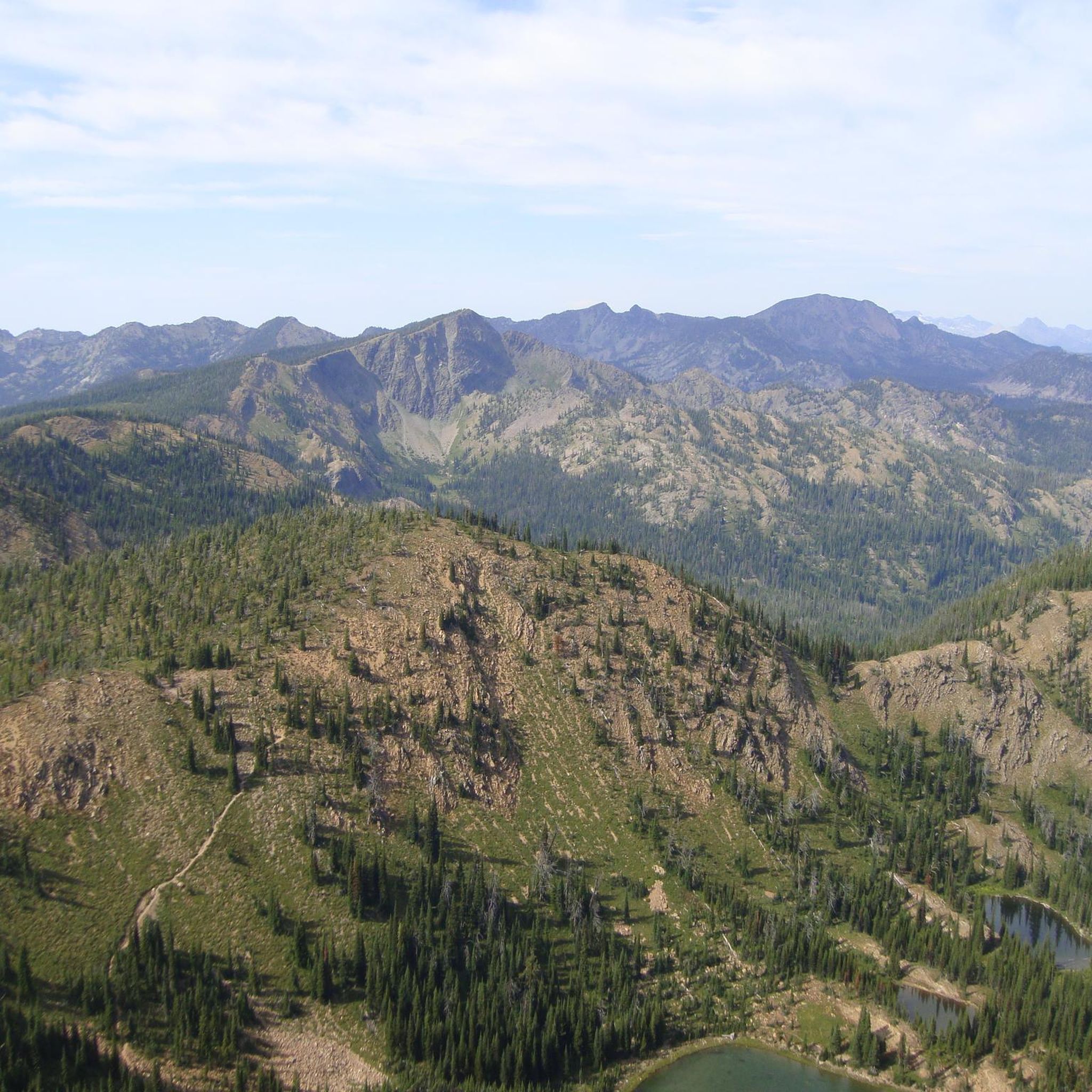
This reserve was established in 1980 and is located in the Missoula Ranger District. It is rich in mountain peaks and picturesque alpine lakes.
1
0
Frequently Asked Questions
How many running routes are available in Rattlesnake National Recreation Area?
There are over 60 running routes in Rattlesnake National Recreation Area, offering a wide variety of options for different skill levels and preferences.
Are there easy running routes suitable for beginners in Rattlesnake National Recreation Area?
Yes, the area features 6 easy running routes. While the provided routes are mostly moderate to difficult, many sections of trails like the Running loop from Mount Jumbo offer gentler terrain suitable for those new to trail running. Look for routes with minimal elevation gain for a more relaxed experience.
What is the typical length of running trails in Rattlesnake National Recreation Area?
Running trails in the Rattlesnake National Recreation Area vary significantly in length. You can find shorter loops around 3.4 miles (5.5 km), such as the Running loop from PEAS Farm, up to longer, more challenging routes like the Kim Williams Trail – Clark Fork River loop from Missoula, which spans over 11.9 miles (19 km).
Are there loop trails for running in Rattlesnake National Recreation Area?
Yes, many running routes in the area are designed as loops, allowing you to start and finish at the same point. Examples include the popular North Hills Ridge Summit – Cherry Gulch Trail loop from Missoula and the Ewok Trail loop from Rattlesnake Trailhead.
What kind of terrain can I expect on the running trails?
The terrain in Rattlesnake National Recreation Area is diverse, ranging from river valleys to hills. You'll encounter trails winding through forested areas, open spaces, and sometimes along riverside paths. Routes like the Running loop from Duncan Field offer a mix of urban and natural scenery, while others provide more rugged, elevated views.
Are the running trails in Rattlesnake National Recreation Area dog-friendly?
Many trails within the Rattlesnake National Recreation Area are dog-friendly, but it's always recommended to check specific trail regulations before heading out. Generally, dogs should be kept on a leash to protect wildlife and ensure a pleasant experience for all trail users.
What can I see along the running routes in Rattlesnake National Recreation Area?
Along the running routes, you can enjoy various natural sights and viewpoints. Notable highlights include the Snowbowl Overlook and general views of Rattlesnake National Recreation Area. Some trails also lead to summits like Stuart Peak, offering panoramic vistas.
Are there any challenging running routes for experienced runners?
Yes, the area offers 23 difficult running routes for those seeking a challenge. The Running loop from Mount Jumbo Wildlife Management Area, for example, is a 5.9-mile trail with significant elevation gain, providing a demanding workout and rewarding views.
What do other runners enjoy the most about running in Rattlesnake National Recreation Area?
Runners frequently praise the varied terrain and natural beauty of the Rattlesnake National Recreation Area. The mix of forested trails, river valleys, and hills provides diverse running experiences, from gentle riverside paths to challenging ascents with elevated views.
Is it possible to access running trails via public transport?
While specific public transport details are not provided, many routes, such as those starting from Missoula or near established trailheads, may be accessible via local bus services. It's advisable to check Missoula's public transport schedules for routes that serve the recreation area's access points.
Are there any less crowded running routes in the area?
To find less crowded running routes, consider exploring some of the longer or more challenging trails, or visit during off-peak hours. Routes that venture deeper into the recreation area, away from the main trailheads, often offer a more solitary experience. The McCormick Park loop from Missoula, while longer, might offer quieter sections depending on the time of day.
Can I find running routes with significant elevation for hill training?
Absolutely. Rattlesnake National Recreation Area is characterized by numerous hills, including Mount Jumbo and North Hills Ridge, making it ideal for hill training. Routes like the Running loop from Mount Jumbo Wildlife Management Area feature substantial elevation gains, perfect for building strength and endurance.
Most popular routes in Rattlesnake National Recreation Area
Most popular attractions in Rattlesnake National Recreation Area

Get inspired with the komoot mobile app


Didn’t find what you were looking for?
Check out more Running Trails & Routes throughout Rattlesnake National Recreation Area below and find the perfect route in your destination.
Explore more
Browse the best Running Trails & Routes in other regions.
