The best walks and hikes in Rattlesnake National Recreation Area
5.0
(15)
689
hikers
10
hikes
Hikes in Rattlesnake National Recreation Area explore a landscape of forested ridges, open slopes, and mountain peaks located just north of Missoula. The area is defined by the main drainage of Rattlesnake Creek, with a well-established trail system originating from several trailheads. Elevations range from lower valley paths to more challenging ascents into the adjacent Rattlesnake Wilderness.
Best hiking trails in Rattlesnake National Recreation Area
- The most popular hiking route is Rattlesnake Trail to Wallman Trail — Rattlesnake National Recreation Area, a 5.4 mile (8.8 km) trail that takes about 2 hours 20 minutes to complete. This moderate hike follows the main corridor along Rattlesnake Creek with minimal elevation gain.
- Another top favourite among local hiking enthusiasts is Stuart Peak — Rattlesnake National Recreation Area, a difficult 18.3 mile (29.5 km) path. This challenging out-and-back route involves a significant ascent of over 4,700 feet (1,440 m) to the peak.
- Local hiking enthusiasts also love the Turkey Trail via Sawmill Gulch loop — Rattlesnake National Recreation Area, a 5.2 mile (8.3 km) trail leading through forested gulches, often completed in about 2 hours 25 minutes.
- Hiking in Rattlesnake National Recreation Area is defined by its creek-side paths, forested gulches, and high-elevation mountain trails. The trail network provides routes suitable for various ability levels, from gentle walks to strenuous peak ascents.
- The routes in Rattlesnake National Recreation Area are highly rated by the komoot community with an average score of 5.0 stars from more than 10 reviews. More than 500 hikers have used komoot to explore Rattlesnake National Recreation Area's varied terrain.
Last updated: October 11, 2026
7
hikers
8.88km
02:35
250m
240m
Moderate hike. Good fitness required. Easily-accessible paths. Suitable for all skill levels.
15.0km
05:10
1,300m
0m
Hard hike. Very good fitness required. Easily-accessible paths. Suitable for all skill levels.

10.6km
03:11
390m
260m
Moderate hike. Good fitness required. Easily-accessible paths. Suitable for all skill levels.
53.1km
14:22
1,000m
250m
Hard hike. Very good fitness required. Easily-accessible paths. Suitable for all skill levels.
12
hikers
8.76km
02:21
100m
100m
Moderate hike. Good fitness required. Easily-accessible paths. Suitable for all skill levels.
5.0
(3)
8
hikers
13.5km
04:01
400m
400m
Moderate hike. Good fitness required. Easily-accessible paths. Suitable for all skill levels.
5.0
(1)
1
hikers
29.5km
09:49
1,450m
1,450m
Hard hike. Very good fitness required. Easily-accessible paths. Suitable for all skill levels.
1
hikers
8.29km
02:23
210m
210m
Moderate hike. Good fitness required. Easily-accessible paths. Suitable for all skill levels.
15.3km
04:49
600m
600m
Moderate hike. Good fitness required. Easily-accessible paths. Suitable for all skill levels.
12
hikers
7.71km
02:02
60m
60m
Moderate hike. Good fitness required. Easily-accessible paths. Suitable for all skill levels.
Our route recommendations are based on thousands of hikes, rides, and runs completed by other people on komoot.
Start today with a free account
Your next adventure awaits.
Popular around Rattlesnake National Recreation Area


Tips from the Community

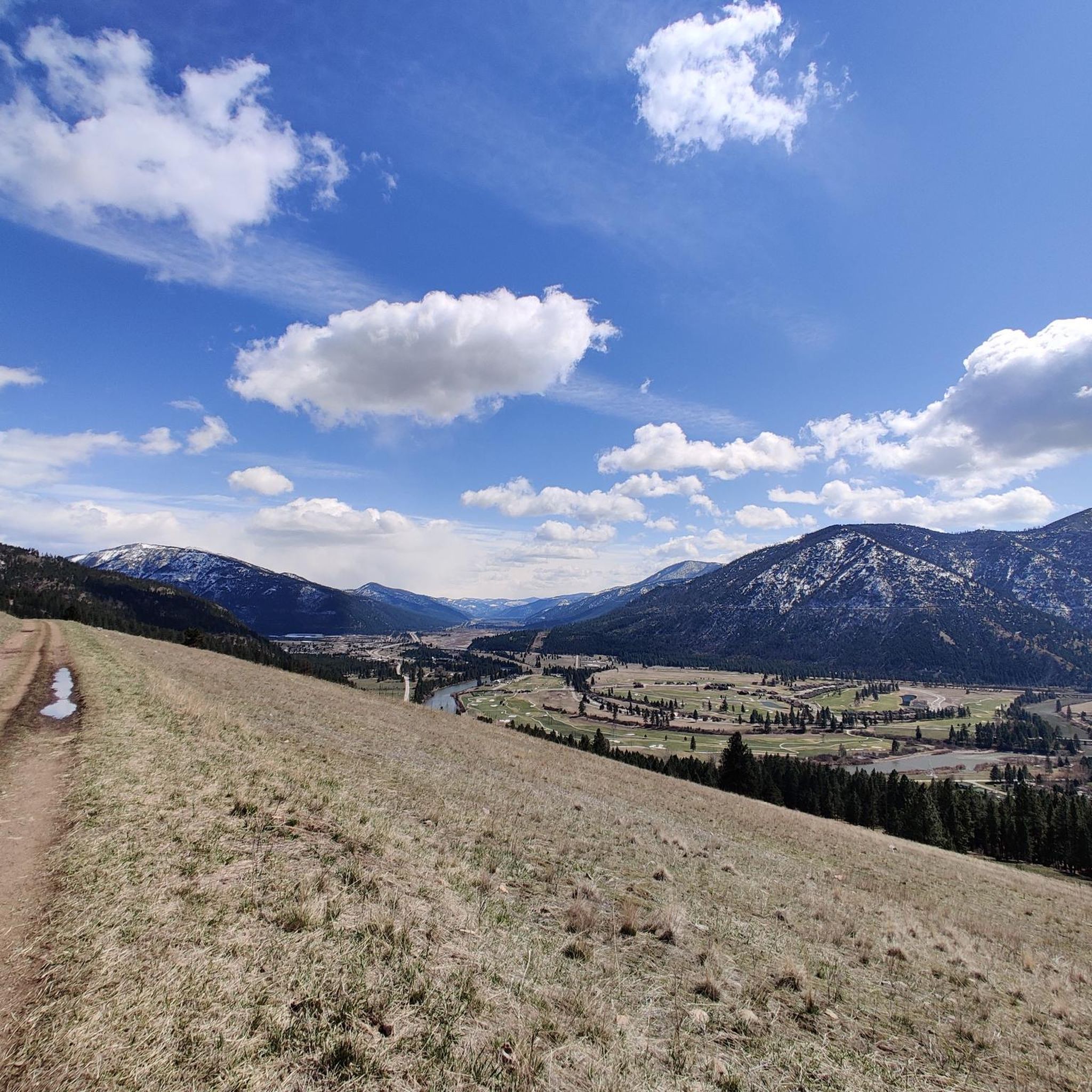
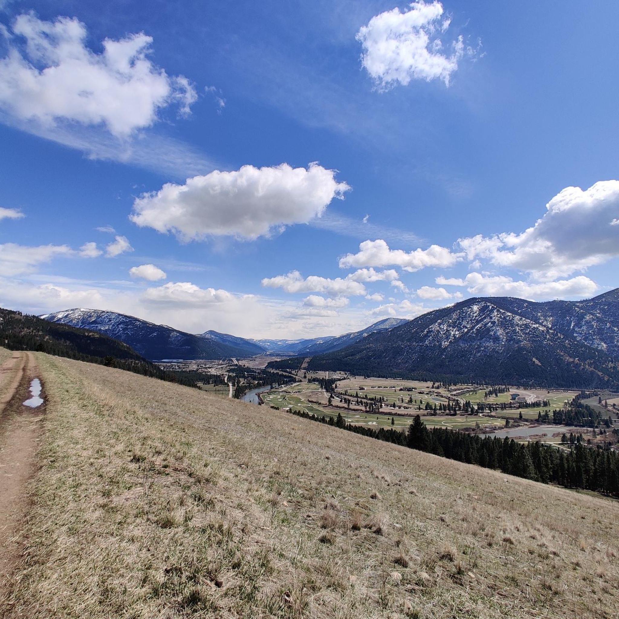
This is a jumping off point for a lot of trails. There's a couple of easy options through the valley and some others that climb up the ridgelines and lead to some great views.
0
0
This is the spot for a rest and refuel. Since it's the high spot on the trail it means you've put in the work and deserve a little break before reaping the reward of the descent.
0
0
While technically this trail is rideable in both directions local etiquette suggests that uphill traffic is better taking the parallel Sawmill Gulch Road so that downhill traffic can feel the flow. Whichever direction you ride keep an eye out for oncoming traffic.
0
0
This is a jumping off point for a lot of trails. There's a couple of easy options that roll through the valley and some others that climb up the ridgelines and lead to some great descents.
1
0

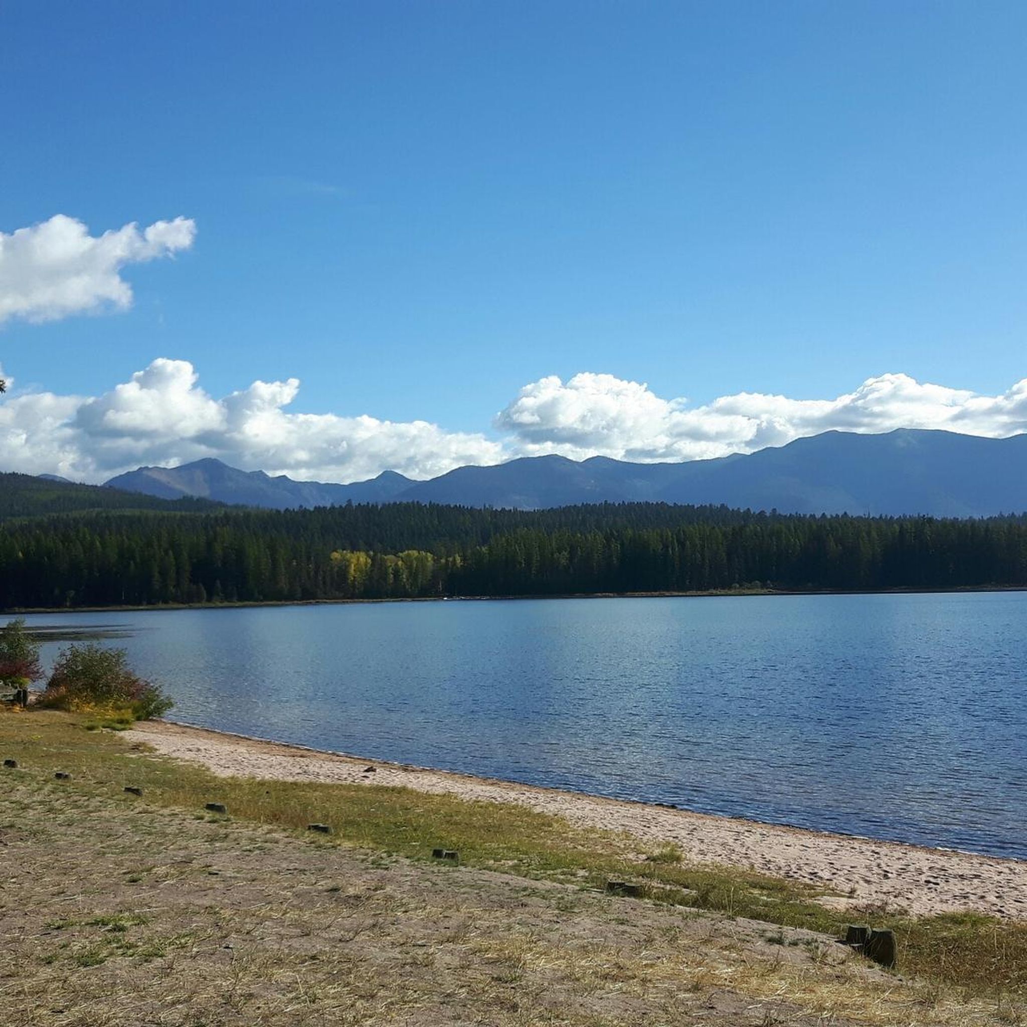
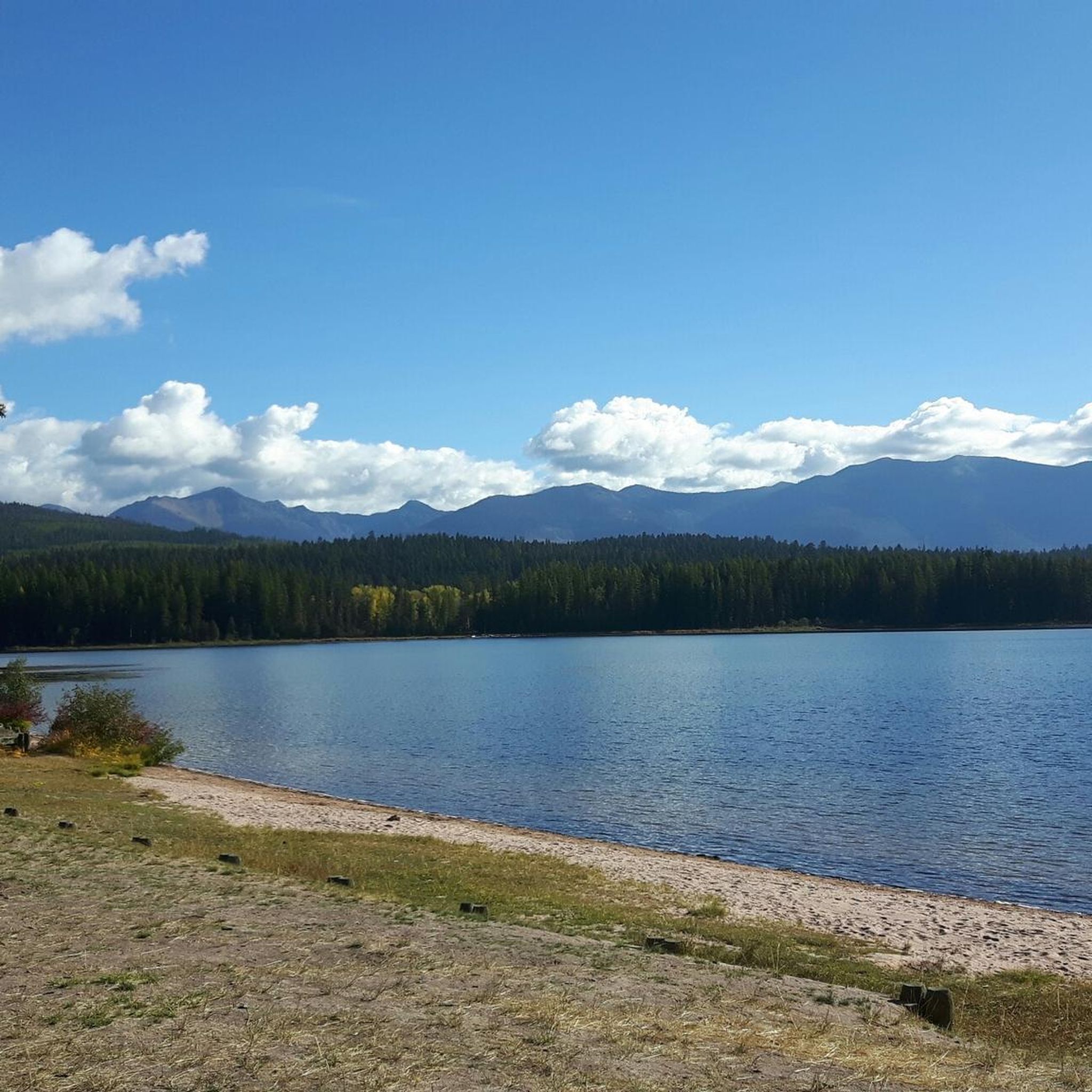
From the summit of Stuart Peak there is a great view of the lakes below and the peaks of the Rattlesnake National Recreation Area. The hike is quite challenging, but the scenery is amazing.
0
0
This reserve was established in 1980 and is located in the Missoula Ranger District. It is rich in mountain peaks and picturesque alpine lakes.
1
0

Just like the Forests of Endor in A galaxy far far away!
0
0
Frequently Asked Questions
Are dogs allowed in the Rattlesnake National Recreation Area?
Yes, dogs are generally welcome but there are specific regulations. In the southern part of the Recreation Area, closer to the main trailheads, dogs must be on a leash from April 1st to October 15th. In other areas and during the off-season, they may be off-leash if under strict voice control. Always check local signage for the most current rules.
What are the parking options for the trailheads?
The main Rattlesnake Trailhead is a very popular starting point and can get busy, so arriving early is recommended. Other access points like the Woods Gulch trailhead are available but parking can be tight. It's best to have a backup plan, especially on weekends.
Are there any easy, family-friendly hikes?
Yes, the area offers several easier options perfect for families. The Mount Jumbo Backbone Trail — Missoula is a great choice, offering a relatively gentle walk with rewarding views. Many of the lower-elevation paths along Rattlesnake Creek are also suitable for all ages.
What is the best time of year to hike in the Rattlesnake NRA?
The prime hiking season is from late spring through fall, typically May to October, when the trails are clear of snow. Summer offers warm weather, while fall provides beautiful colors from the Larch and Aspen trees. Winter is suitable for snowshoeing and cross-country skiing on lower trails.
How do I get to the Rattlesnake trailhead from Missoula?
The main trailhead is conveniently located just four miles north of downtown Missoula. The most direct way is to drive, following Van Buren Street north, which becomes Rattlesnake Drive and leads directly to the main parking area. The area's proximity to the city makes it very accessible.
What's the difference between the Rattlesnake Wilderness and the National Recreation Area?
The National Recreation Area (NRA) is the more accessible, lower-elevation southern portion with a denser trail network where activities like mountain biking are permitted on designated trails. The Rattlesnake Wilderness is the more remote, rugged, and protected area to the north. It has stricter regulations—no bikes are allowed, and the environment is kept more pristine.
Are there any good loop hikes?
Yes, the trail system has several interconnected paths that create excellent loops. The Spring Gulch, Wallman and Rattlesnake Trails Loop is a fantastic moderate option that combines different gulches and sections of the main creek trail for a varied experience.
What kind of wildlife might I see?
The area is rich in wildlife. It's common to see deer and elk, especially in the meadows and lower elevations. In more remote areas, you might spot bighorn sheep, mountain goats, and moose. Black bears and grizzly bears also inhabit the region, so it's crucial to be bear-aware, carry bear spray, and know how to use it.
Are there any long-distance or challenging hikes for experienced hikers?
Absolutely. For a serious challenge, the Boulder Point and Lake Loop offers a difficult, high-elevation trek into the alpine lake country. The trail network extends deep into the Rattlesnake Wilderness, providing ample opportunities for multi-day backpacking trips.
Can I swim in the lakes or creeks?
Yes, you can swim, but be prepared for very cold water. The high mountain lakes are fed by snowmelt and remain chilly even in summer. Rattlesnake Creek is a popular spot for a quick, refreshing dip on a hot day. Note that Rattlesnake Creek is catch-and-release only for anglers.
What do other hikers enjoy about the Rattlesnake National Recreation Area?
The area is highly rated by the komoot community. Reviewers often praise the incredible accessibility from Missoula, the beauty of the creek-side trails, and the variety of options available, from gentle walks to strenuous mountain climbs. The well-maintained trail system is also frequently mentioned as a major plus.
Are there any historical sites to see on the trails?
Yes, you can hike to the historic Curry Cabin. The Spring Gulch to Steep Curry loop passes through the area where you can see the multi-room log structure dating back to the late 1800s, offering a glimpse into the area's ranching and prospecting past.
Most popular routes in Rattlesnake National Recreation Area
Most popular attractions in Rattlesnake National Recreation Area

Get inspired with the komoot mobile app


Didn’t find what you were looking for?
Check out more Hikes throughout Rattlesnake National Recreation Area below and find the perfect route in your destination.
Explore more
Browse the best Hikes in other regions.
