San Gabriel Mountains National Monument
San Gabriel Mountains National Monument
The best running trails in San Gabriel Mountains National Monument
4.8
(19)
1,963
runners
151
runs
Jogging in San Gabriel Mountains National Monument offers diverse landscapes, from shaded canyons to rocky paths and forested areas, all within easy reach of the Los Angeles Basin. The region is characterized by dynamic geology, including rising mountains shaped by the San Andreas Fault, and features prominent peaks and scenic waterfalls. This vast monument spans over 452,000 acres, providing a variety of running environments for all fitness levels.
Best jogging routes in San Gabriel Mountains National Monument
- The most popular…
Last updated: October 10, 2026
74
runners
16.4km
02:55
1,190m
1,190m
Prepare for a challenging jogging experience on the Devil's Backbone Trail loop, a difficult route spanning 10.2 miles (16.4 km) with a significant 3888 feet (1185 metres) of elevation gain.…

23
runners
16.0km
01:51
400m
400m
Hard run. Very good fitness required. Mostly paved surfaces. Suitable for all skill levels.

3
runners
11.6km
01:39
670m
670m
Hard run. Very good fitness required. Mostly paved surfaces. Suitable for all skill levels.
3
runners
20.5km
02:47
630m
630m
Embark on a challenging jogging adventure along the Wright Mountain via Pacific Crest Trail, a difficult 12.7-mile (20.5 km) route that promises expansive views across the Angeles National Forest. As…
4.53km
00:32
110m
110m
Moderate run. Good fitness required. Mostly paved surfaces. Suitable for all skill levels.
5.17km
00:39
150m
150m
Moderate run. Good fitness required. Mostly paved surfaces. Suitable for all skill levels.
10.8km
01:42
550m
550m
Hard run. Very good fitness required. Mostly paved surfaces. Suitable for all skill levels.
4.0
(2)
22
runners
18.2km
03:04
1,260m
1,260m
Hard run. Very good fitness required. Mostly paved surfaces. Suitable for all skill levels.
27
runners
12.6km
01:47
580m
580m
Hard run. Very good fitness required. Mostly paved surfaces. Suitable for all skill levels.
21
runners
12.7km
02:32
1,170m
1,170m
Hard run. Very good fitness required. Mostly paved surfaces. Suitable for all skill levels.
Get access to more routes and recommendations from other explorers.
Already have an account?
Our route recommendations are based on thousands of hikes, rides, and runs completed by other people on komoot.
Start today with a free account
Your next adventure awaits.
Popular around San Gabriel Mountains National Monument
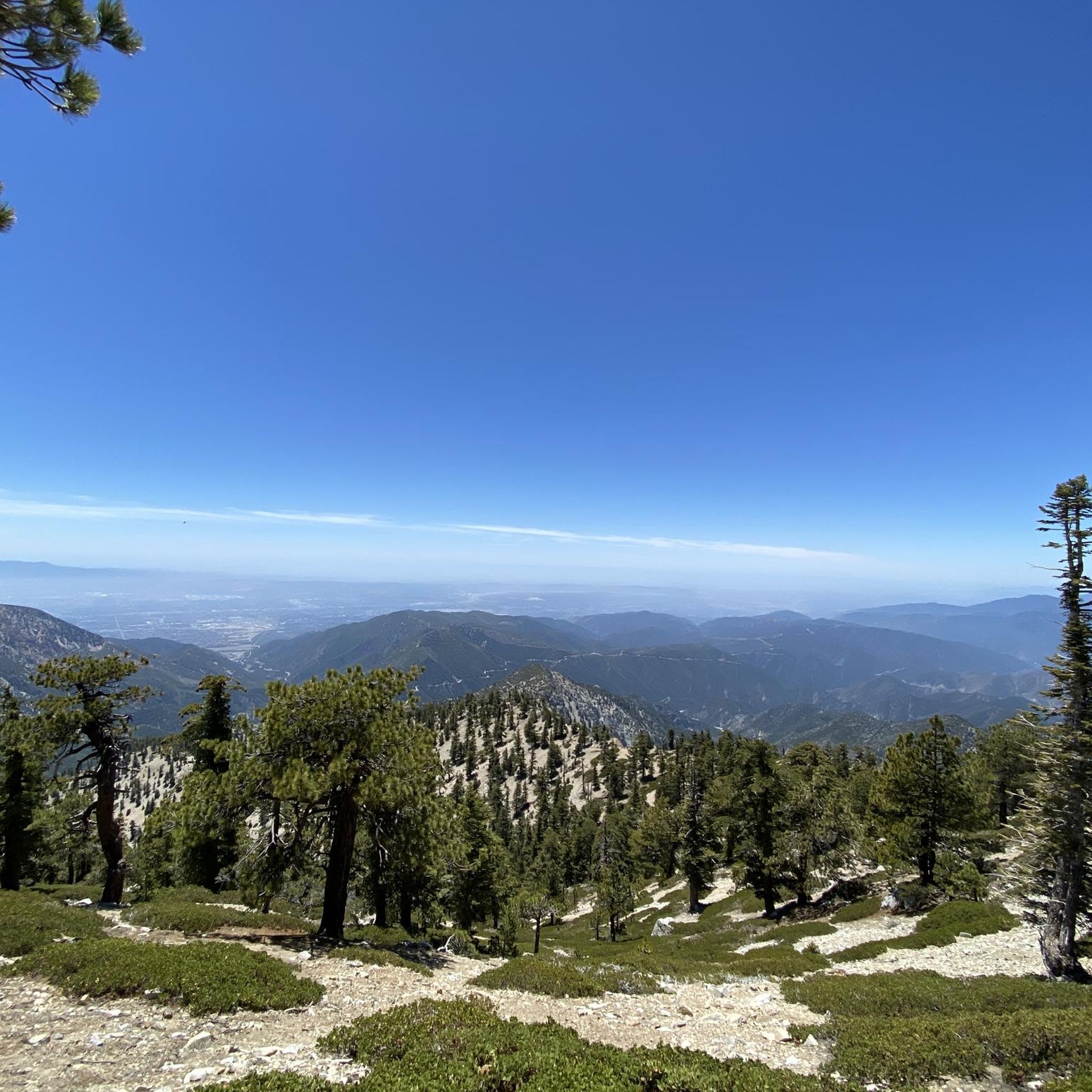
Running Trails in Sheep Mountain Wilderness
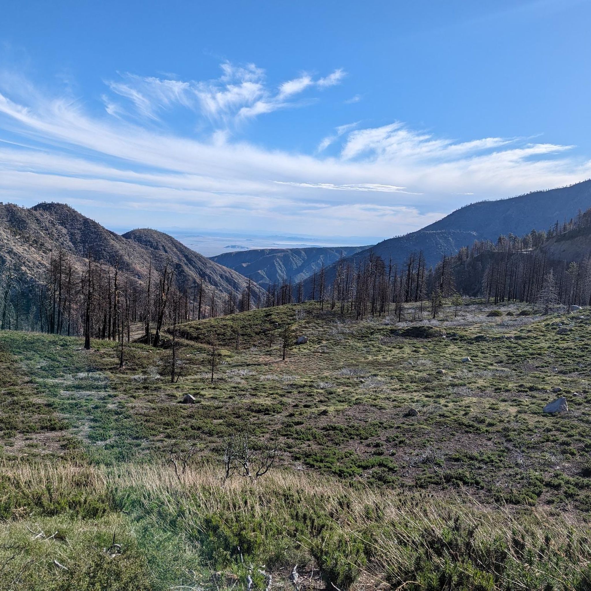
Running Trails in Pleasant View Ridge Wilderness
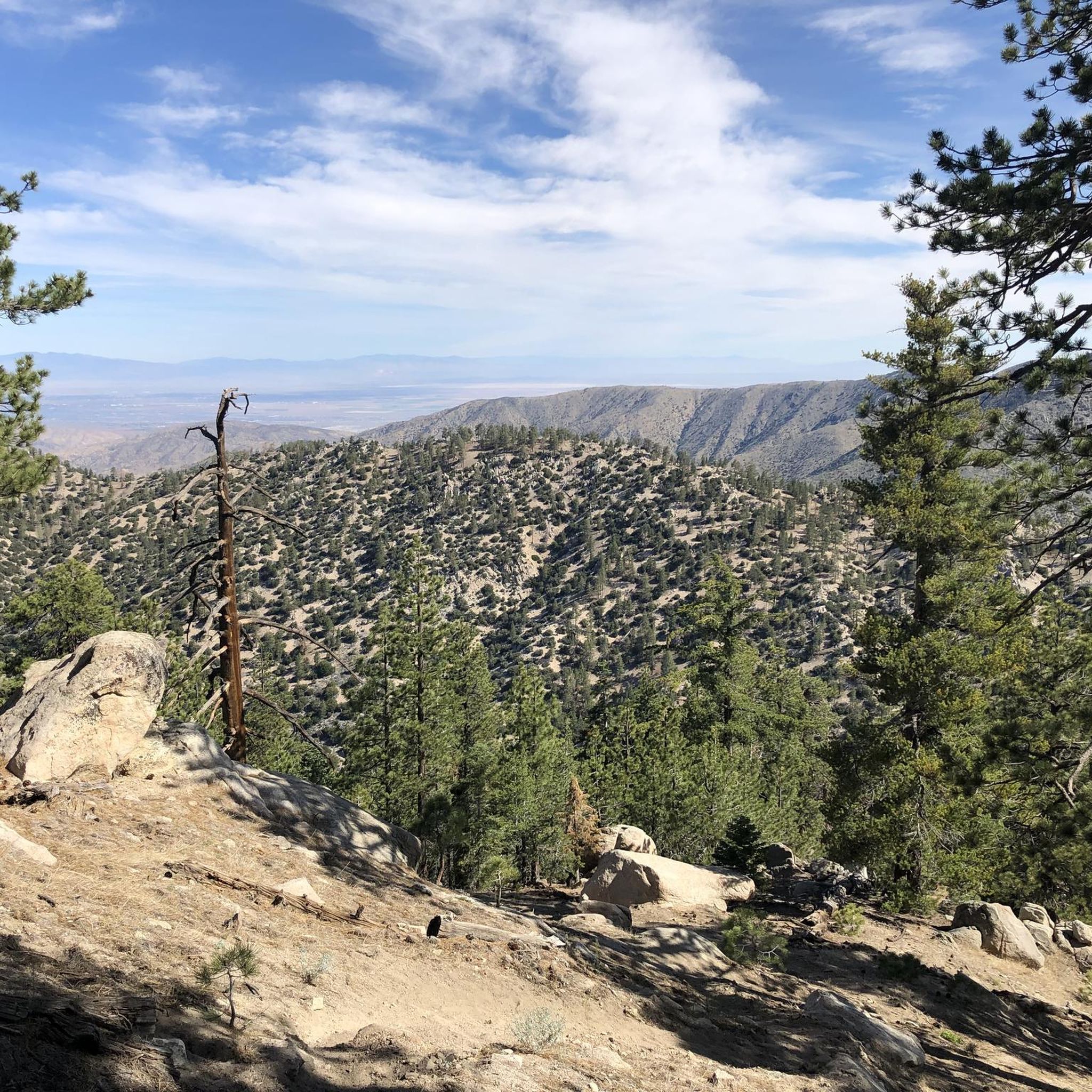
Running Trails in San Gabriel Wilderness
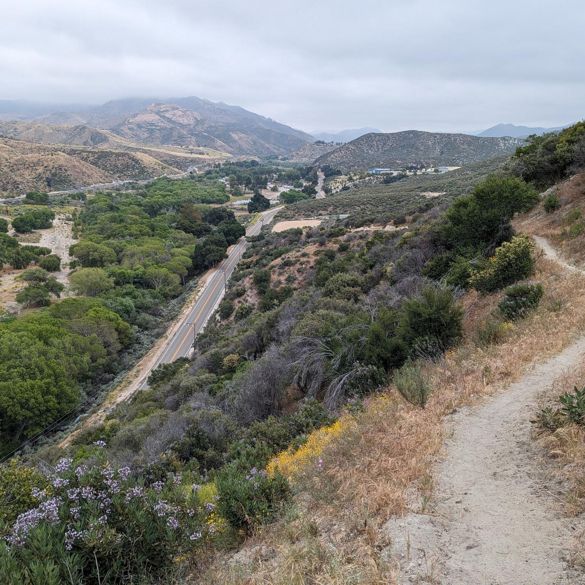
Running Trails in Magic Mountain Wilderness

Pacific Crest Trail from Mexico to Canada – 4,200 kilometres of wilderness
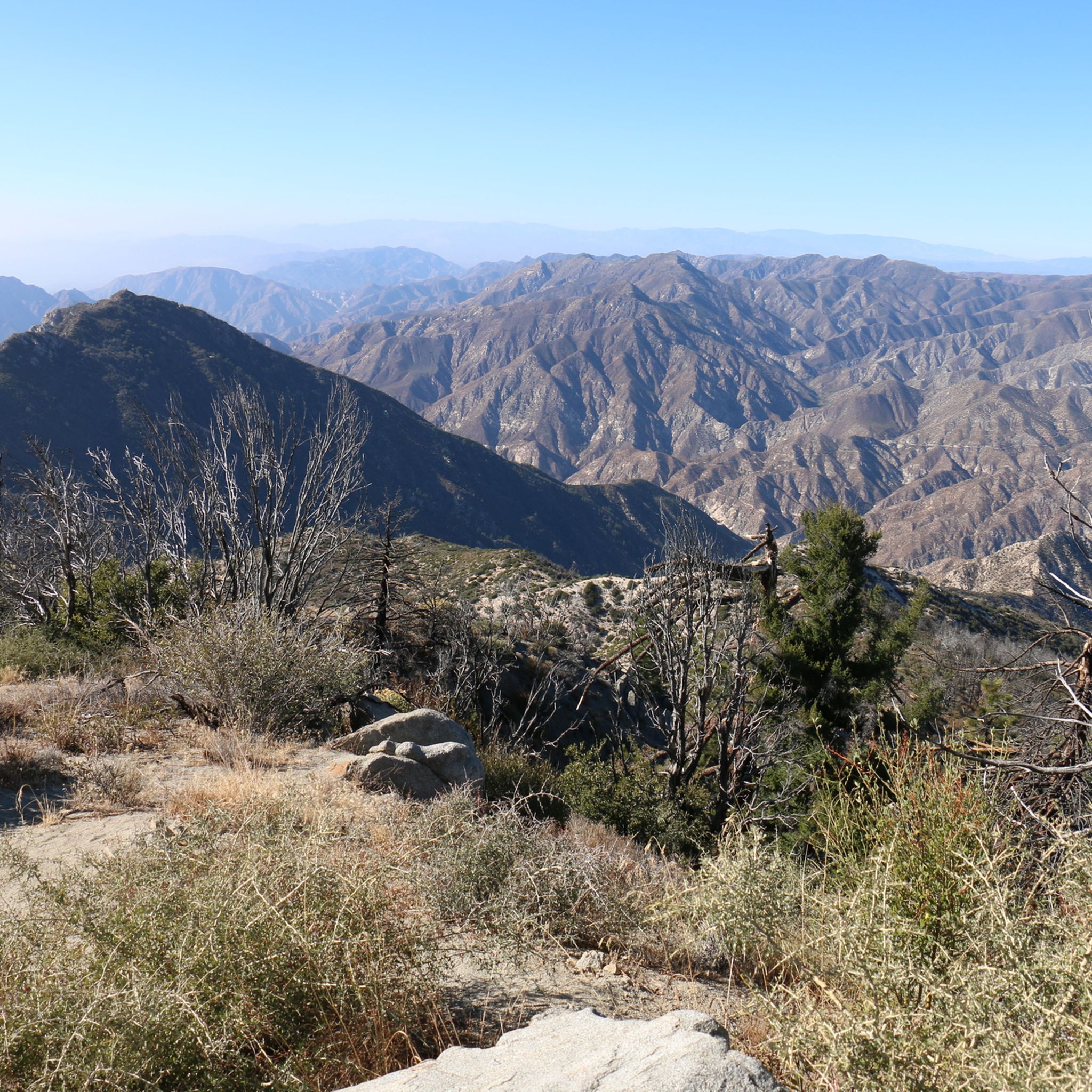
Hiking in San Gabriel Mountains National Monument
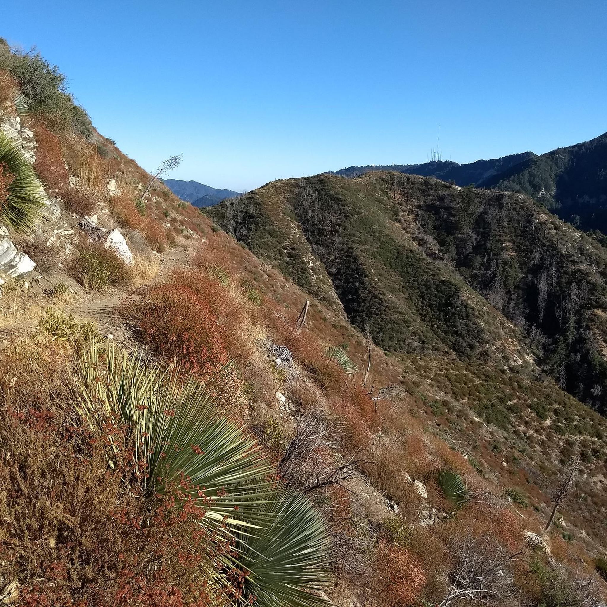
MTB Trails in San Gabriel Mountains National Monument
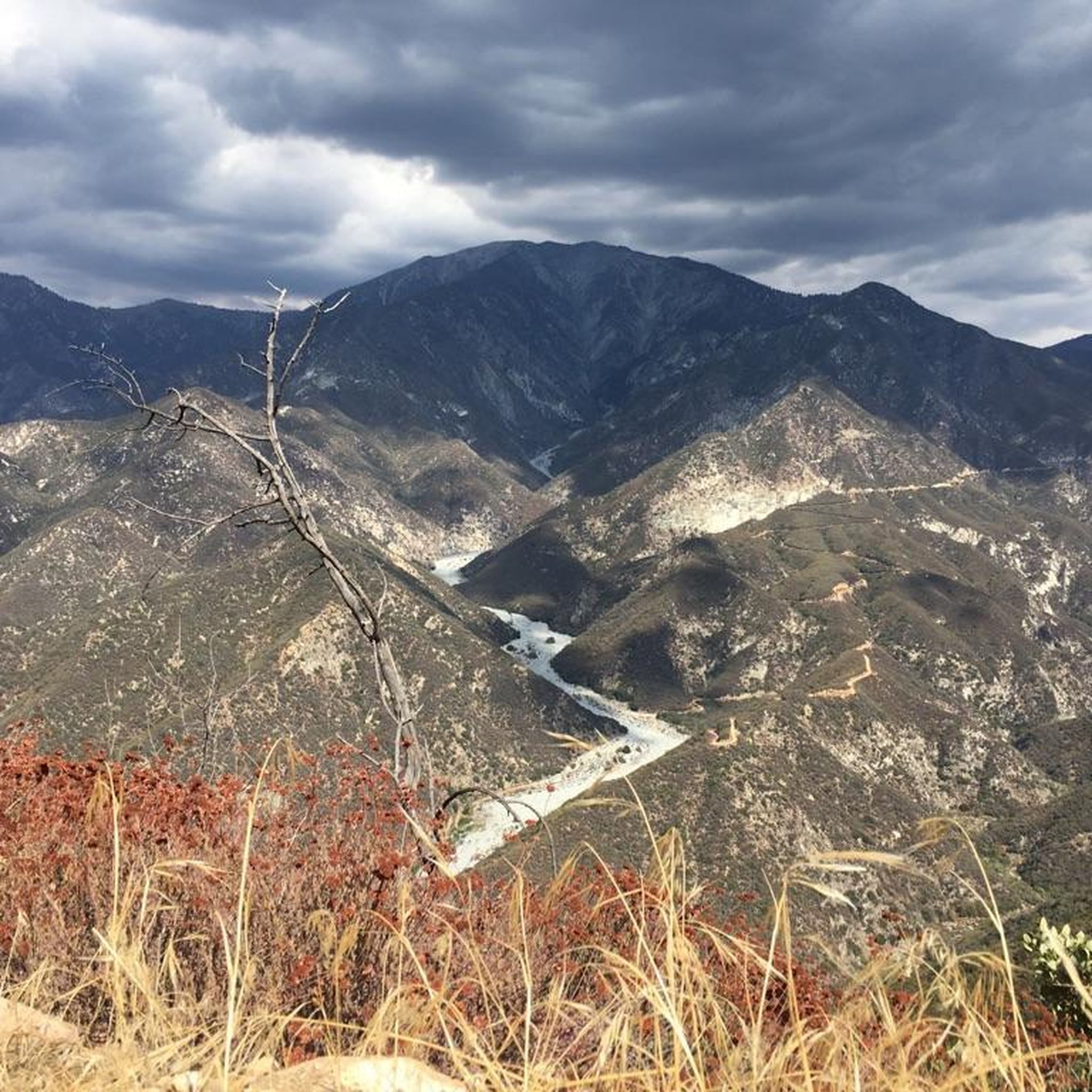
Road Cycling Routes in San Gabriel Mountains National Monument
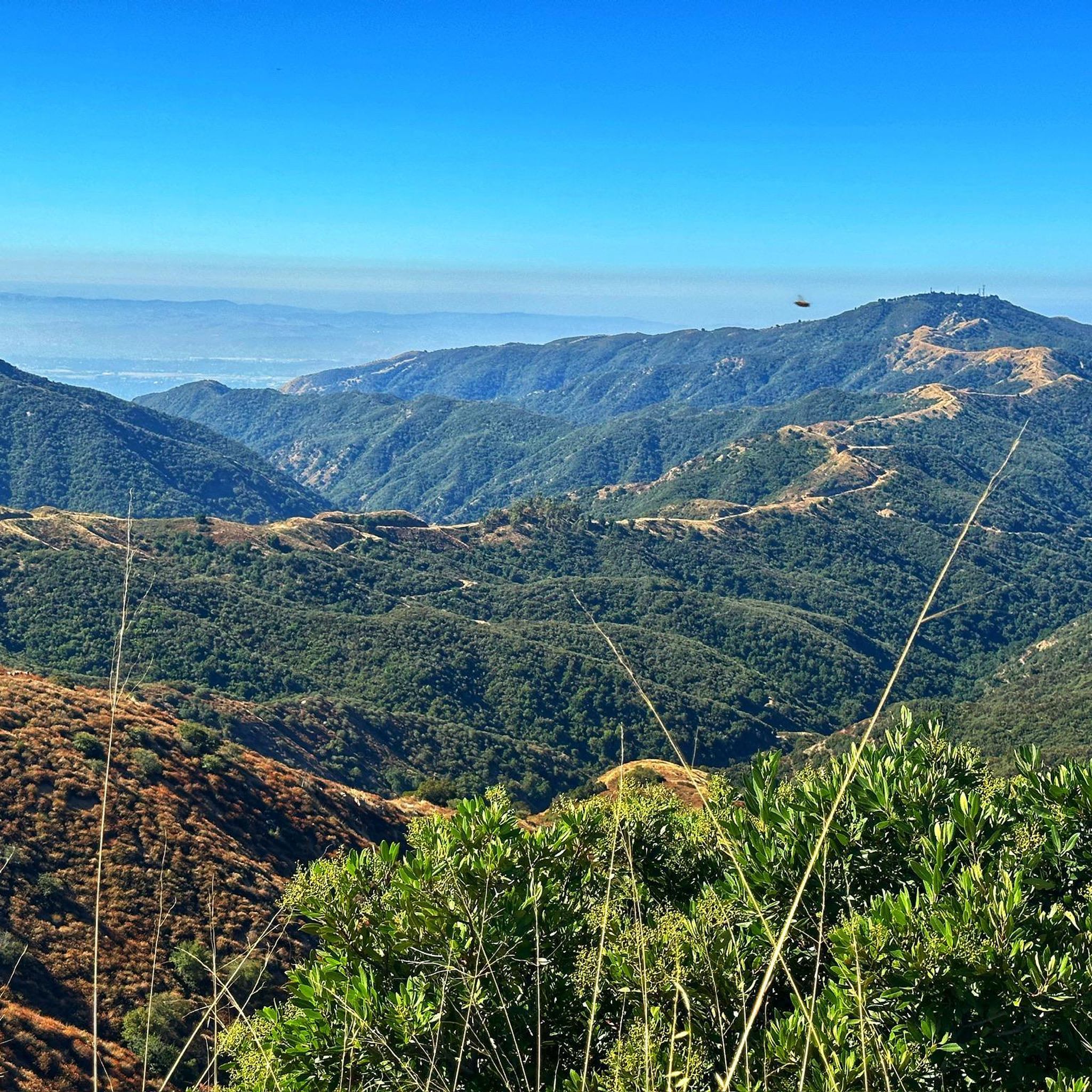
Cycling in San Gabriel Mountains National Monument
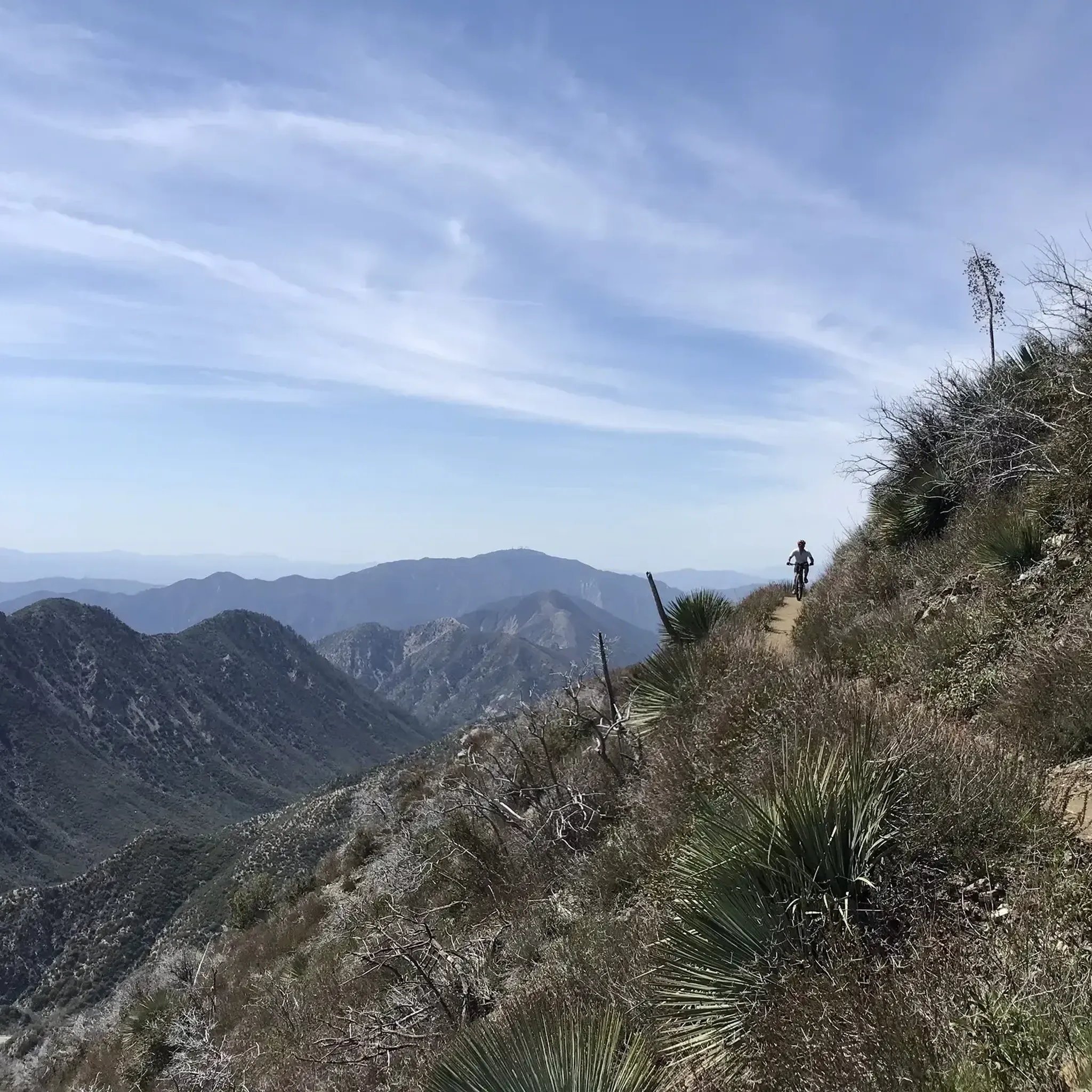
Gravel biking in San Gabriel Mountains National Monument
Other adventures in San Gabriel Mountains National Monument

Tips from the Community

The Devils Backbone Trail is one of the most popular trails to summit Mount San Antonio (Mt. Baldy). Unlike the other most popular trail, the Baldy Bowl, or Ski Hut, Trail this trail is longer and more gradual making for a somewhat easier, but still very challenging experience.
0
0

The Baldy Bowl Trail, or the Ski Hut Trail, is the shortest way up to the summit of Mount San Antonio (Mt. Baldy), the highest point in Los Angeles County. In order to achieve this however, the trail more or less bombs up the side of the mountain and is quite steep.
0
0

The Baldy Bowl Trail, also known as the Ski Hut Trail, is the shortest route to the summit of Mt Baldy. Unfortunately, that short distance comes at the price of a very steep climb. For fit hikers, you'll have to work, and for those out of shape, expect to take breaks to catch your breath as you navigate the steep slopes. Along the way, you'll have a picture-perfect spot to rest, the Sierra Club Ski Hut. And the final payoff is reaching the highest point in Los Angeles County, Mount San Antonio, known colloquially as Mt Baldy because of its bald face. More info: https://hikingguy.com/hiking-trails/los-angeles-hikes/baldy-bowl-trail-ski-hut-trail-to-mt-baldy/
1
0
Built by the Ski Mountaineers in 1936, the San Antonio Ski Hut is located at 8,300' and reached via a steep 3-mile hike and 2200' foot elevation gain. The trailhead starts 1 mile beyond the locked gate of San Antonio Falls Rd. (approx 300 yards past Snowcrest Lodge and 400 yards before the entrance to Mt. Baldy Ski Lifts). The hut offers a fully-equiped kitchen, dishes, cookware, running water and solar lighting. Sleeping room for up to 16 is available. Water from a spring is piped directly through the kitchen, running 24 hours a day. Day Use: $1 Donation; Overnight: Sierra Club Members $15, Non-members $20. More Info: https://angeles.sierraclub.org/san_antonio_ski_hut
1
0
Mount San Antonio, also known as Old Baldy or Mount Baldy, is the highest peak in the San Gabriel Mountains at 10,069 feet (3,069 m) and the highest point in Los Angeles County, California. The sometimes snow-capped summit of Mount San Antonio is also visible in Los Angeles on clear days and is a dominant sight from the city.
1
0

Great view towards Mount Baden-Powell from the PCT. If the trail is not too busy, this is a great place to stop and take in the wonderful vistas.
0
0

Wright Mountain stands at 8505 feet above sea level and is the high point of the Blue Ridge, which is the high country link between the Mount San Antonio and Mount Baden-Powell areas. Wright Mountain is a relatively popular summit, in large part because it is just a short detour off of the PCT. It is also on the Hundred Peaks List of the Sierra Club.
0
0

Mt. Baldy is the highest peak in the San Gabriel Mountains and gets its nickname from the absence of trees near its summit. It is a grind to get here on your bike but you will be rewarded with gorgeous views of the surrounding mountain tops. A very popular and special place.
0
0
Frequently Asked Questions
How many jogging routes are available in San Gabriel Mountains National Monument?
The San Gabriel Mountains National Monument features 10 dedicated jogging routes on komoot, offering diverse landscapes for runners. These routes are highly rated by the komoot community, with an average score of 4.5 stars from over 500 runners.
Are there easy jogging routes suitable for beginners?
While many routes in the San Gabriel Mountains National Monument are challenging, there are options for moderate fitness levels. For a less strenuous run, consider the Crystal Lake – Angeles National Forest route, which is classified as moderate. It covers about 2.8 miles (4.5 km) with a manageable elevation gain.
What are some challenging running routes for experienced runners?
For experienced runners seeking a challenge, the San Gabriel Mountains offer several difficult routes. The Windy Gap & Mount Islip – Angeles National Forest route is a demanding 7.2 miles (11.5 km) run with significant elevation. Another option is the Smith Mountain – Angeles National Forest trail, covering 6.7 miles (10.7 km) with substantial climbs.
Are there any circular jogging routes in the monument?
Yes, there are several circular routes available. A popular option is the Strawberry Peak loop from Red Box, which is a 7.1 miles (11.4 km) difficult trail offering panoramic vistas. Another circular route is the Devil's Chair loop from Devils Chair, a challenging 7.4 miles (11.9 km) run.
Can I jog with my dog in the San Gabriel Mountains National Monument?
Many trails within the San Gabriel Mountains National Monument are dog-friendly, but it's crucial to keep your dog on a leash at all times to protect wildlife and ensure the safety of other visitors. Always check specific trail regulations before heading out, as some areas might have restrictions.
What natural features or landmarks can I see while jogging?
The monument is rich in natural beauty. You can encounter diverse terrain from shaded canyons to rocky paths. Prominent features include mountain peaks like Mount San Antonio ("Mt. Baldy"), Strawberry Peak, and Mount Islip. Some routes also pass by waterfalls like Switzer Falls and Fish Canyon Falls, or geological formations such as the Devil's Punchbowl.
What are the parking and public transport options for trailheads?
Parking is available at many trailheads throughout the monument. Some areas may require an Adventure Pass for parking. The monument also offers initiatives like a free shuttle service to trailheads, making it more accessible. It's advisable to check the specific trailhead you plan to visit for detailed parking information and any public transport connections.
What is the best time of year to go jogging in the San Gabriel Mountains?
The San Gabriel Mountains offer jogging opportunities year-round, but conditions vary significantly by season. Spring and fall generally provide the most pleasant temperatures for running. Summer can be very hot, especially at lower elevations, so early morning runs are recommended. Winter may bring snow and ice to higher elevations, requiring appropriate gear and caution.
Are there any specific permits or passes required for jogging in the monument?
Some areas within the San Gabriel Mountains National Monument, particularly certain trailheads, may require an Adventure Pass for parking. This pass helps support the maintenance and facilities of the national forests. It's recommended to check if your chosen trailhead requires one before your visit.
What should I bring for a run in the San Gabriel Mountains?
Given the varied terrain and potential for rapid weather changes, it's wise to bring plenty of water, especially on longer routes. Layered clothing is recommended, along with appropriate running shoes for rocky or uneven paths. Sun protection, a map or GPS device, and snacks are also good to have, particularly for more remote trails.
What kind of wildlife might I encounter while running?
The San Gabriel Mountains National Monument is home to diverse wildlife, including over 500 native plants and fungi, and dozens of endangered or rare species like the California condor and Nelson's bighorn sheep. While jogging, you might spot various birds, deer, and smaller mammals. Always maintain a respectful distance and never feed wildlife.
What do other runners enjoy most about jogging in San Gabriel Mountains National Monument?
The komoot community highly rates the jogging experience in the San Gabriel Mountains National Monument, with an average score of 4.5 stars. Runners often praise the diverse landscapes, from shaded canyons to challenging mountain paths, and the stunning panoramic views from peaks like Waterman Mountain. The accessibility from the Los Angeles Basin is also a frequently appreciated aspect.
Most popular routes in San Gabriel Mountains National Monument
Most popular attractions in San Gabriel Mountains National Monument

Get inspired with the komoot mobile app


Didn’t find what you were looking for?
Check out more Running Trails & Routes throughout San Gabriel Mountains National Monument below and find the perfect route in your destination.
Explore more
Browse the best Running Trails & Routes in other regions.
