4.7
(297)
5,325
hikers
133
hikes
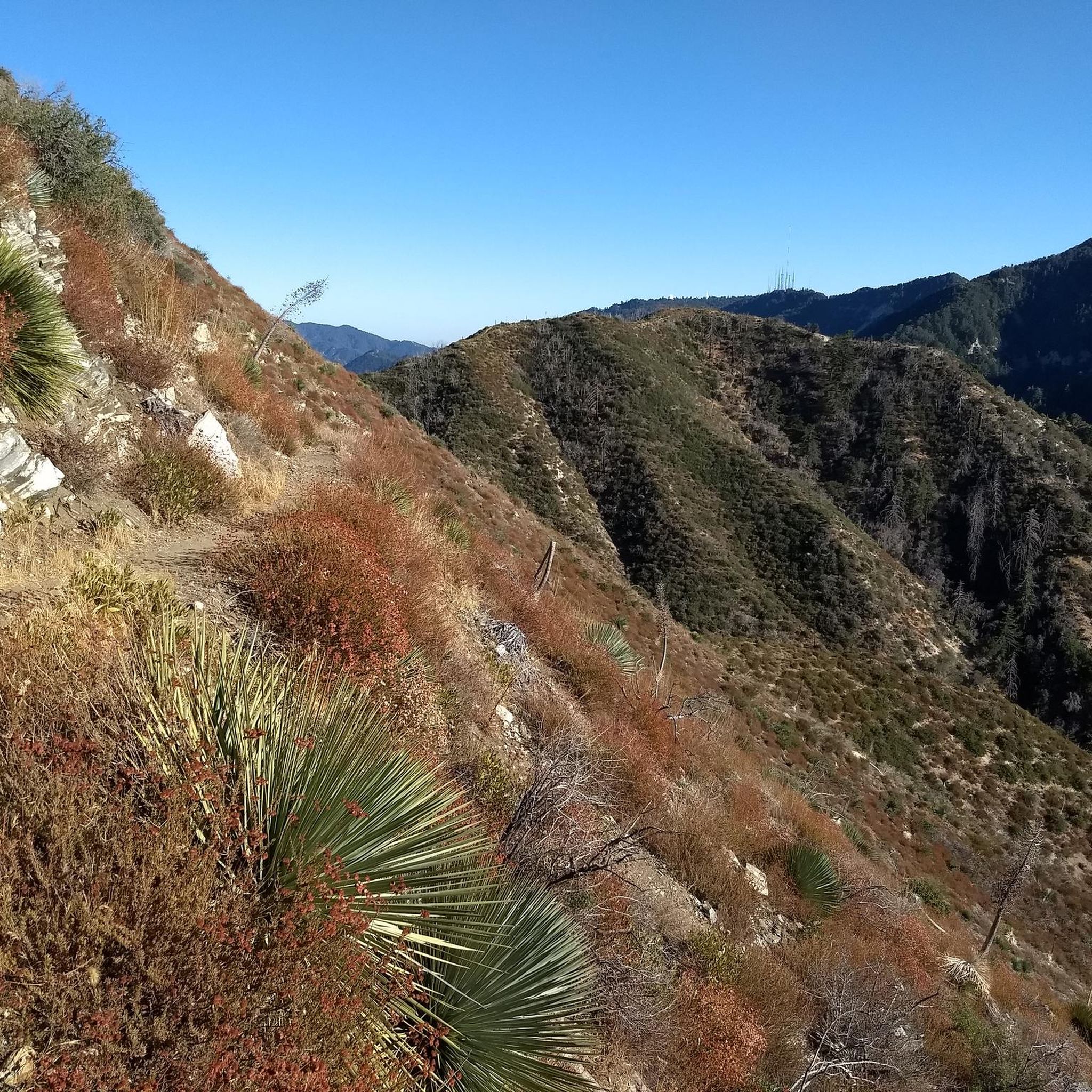
Hiking in San Gabriel Mountains National Monument explores a landscape of rugged peaks, deep canyons, and chaparral-covered slopes near Los Angeles. The region features significant elevation changes, with trails leading from stream-fed valleys to high-country ridges. Its geology is primarily granitic and metasedimentary rock, forming distinct cliffs and natural structures. This varied terrain provides diverse hiking experiences for different skill levels.
Last updated: May 12, 2026
4.9
(7)
107
hikers
19.4km
06:55
390m
590m
Embark on a difficult 12.1-mile (19.4 km) hike along the Bridge to Nowhere via East Fork Trail, a journey that typically takes around 6 hours and 54 minutes. You will gain 1285 feet (392 metres) in elevation as you navigate diverse terrain, from lush wooded sections with wildflowers to dry riverbeds. The route follows the East Fork of the San Gabriel River, offering views of steep, pink-tinted granite walls and prominent features like Swan Rock. Prepare for numerous river crossings that define the experience, leading you to the iconic Bridge to Nowhere.
Planning your visit requires preparation for the trail's frequent river crossings. During winter and spring, water levels can be higher, making these sections more challenging; consider bringing water shoes for comfort and safety. Parking is generally available at the trailhead, but this route is very popular, especially on weekends, so arriving early is highly recommended to secure a spot.
This trail is renowned for its unique destination: an isolated arch bridge that stands as a testament to an ambitious, unfinished road project from the 1930s. The journey itself is a rugged adventure through the Angeles National Forest, characterized by its challenging river fords and the dramatic canyon scenery. It offers a distinct blend of natural beauty and historical intrigue, setting it apart from other hikes in the region.
5.0
(1)
25
hikers
9.95km
03:32
410m
390m
Embark on the Waterman Mountain Loop Trail for a moderate hike through the Angeles National Forest. This 6.2 miles (10.0 km) route challenges you with 1330 feet (406 metres) of elevation gain, typically taking around 3 hours and 32 minutes to complete. As you ascend, you will traverse forested slopes dense with incense cedars and Jeffrey pines, eventually opening up to expansive views of the San Gabriel Wilderness, including Twin Peaks, and the Antelope Valley. You will also pass through the unique landscape of the Mt. Waterman ski area, adding an interesting visual element to your journey.
Before you head out, remember that an Adventure Pass is required for parking at the trailhead. Be aware that some sections of the trail can be overgrown, and navigation might prove tricky, particularly near the ski lift area where signage is not always clear. To assist with wayfinding and make your hike smoother, consider completing the loop in a clockwise direction. Always check local conditions before your visit to ensure a safe and enjoyable experience.
This loop provides a fantastic opportunity to immerse yourself in the natural beauty of the Angeles National Forest. Keep an eye out for seasonal wildflowers that add splashes of color to the landscape, and you might even spot local wildlife such as deer. The trail's blend of shaded forest paths and open vistas makes it a rewarding option for those seeking a substantial day hike with varied scenery and a touch of unique history from the ski area.

Sign up for free
19
hikers
6.47km
02:37
820m
20m
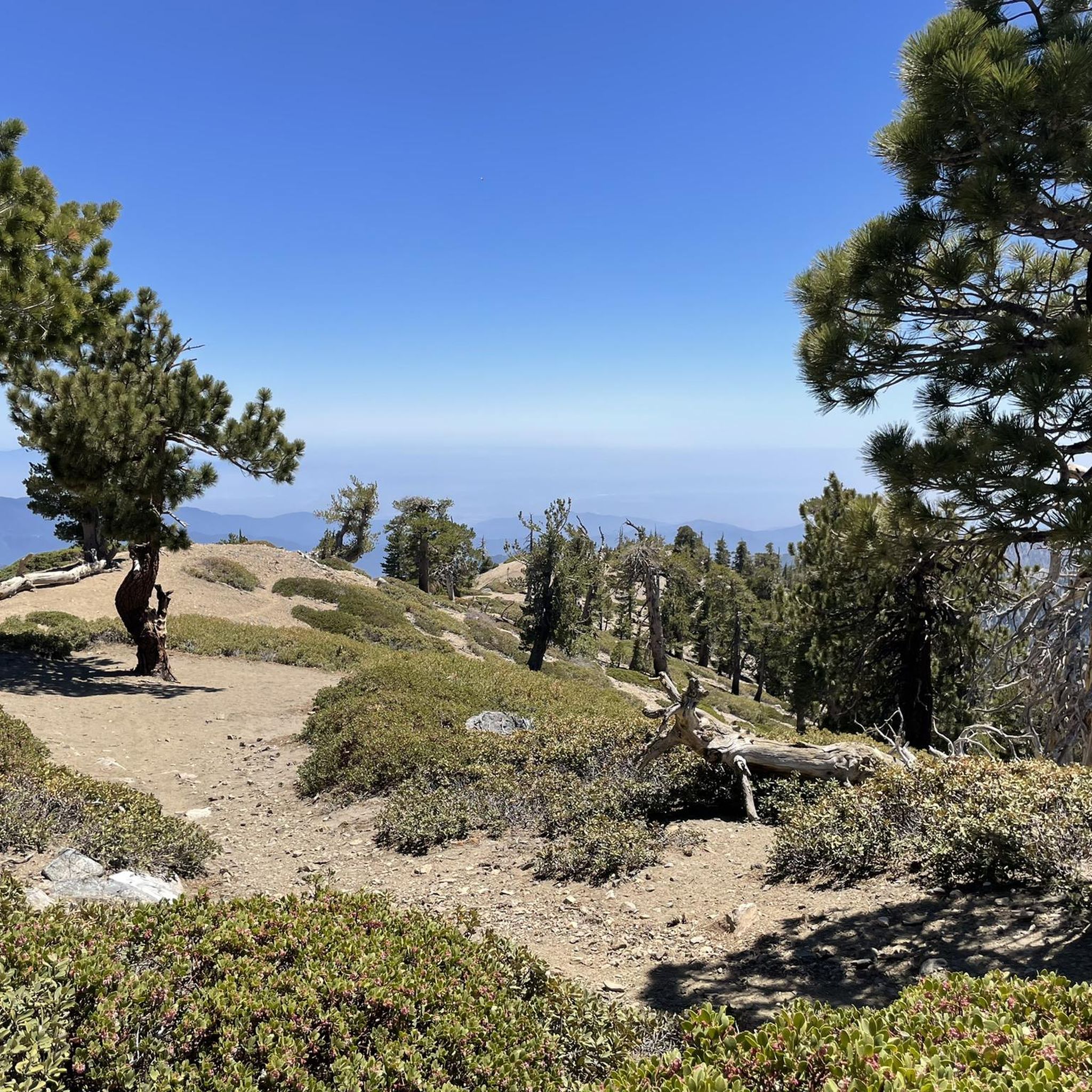
The Mount Baden-Powell Trail offers a moderate hiking challenge, covering 4.0 miles (6.5 km) with a significant elevation gain of 2694 feet (821 metres). You can expect to complete this journey in about 2 hours and 36 minutes. As you ascend, the scenery shifts from scrub oak and Jeffrey pine to ancient limber pines, culminating in spectacular 360-degree panoramic views from the 9,399-foot summit, stretching across the Mojave Desert and the San Gabriel Valley.
Planning your visit is straightforward, with the trailhead at Vincent Gap providing easy vehicle access and parking. Be aware that conditions can vary greatly by season; winter and spring often bring heavy snow and ice, transforming the route into a mountaineering challenge requiring specialized gear. Even during warmer months, the higher elevations can be windy and cold, so always pack appropriate layers.
This trail is notable for its diverse ecosystems and the chance to see the ancient Wally Waldron tree, estimated to be up to 2,500 years old, near the timberline. It provides a substantial workout and a true sense of accomplishment, making it a popular choice for those seeking a challenging ascent with incredible rewards in the Angeles National Forest.
5.0
(1)
7
hikers
9.22km
03:15
610m
430m
Embark on the Mount Islip, Big Cienega, and Windy Gap Loop for a moderate hike through diverse alpine scenery in the Angeles National Forest. This 5.7 miles (9.2 km) route challenges you with 1999 feet (609 metres) of elevation gain, typically taking around 3 hours and 14 minutes to complete. As you ascend, you'll pass through remnants of coniferous forests and spot seasonal wildflowers, leading to the summit of Mount Islip. From 8,251 feet, you can enjoy panoramic 360-degree views of the San Gabriel Mountains, and on clear days, even glimpse Los Angeles County and the ocean.
The trailhead for this loop is conveniently located within the Crystal Lake Recreation Area. Before you head out, remember that an Adventure Pass is required for parking your vehicle in this area. Make sure to secure your pass in advance to avoid any delays.
This trail offers more than just views; it also takes you through areas still recovering from the 2002 Curve Fire. Witnessing the landscape's resilience as it regenerates provides a unique perspective on nature's enduring power. The route's combination of challenging ascents and rewarding vistas makes it a notable option for hikers exploring the San Gabriel Mountains.
4.0
(1)
14
hikers
9.01km
02:40
310m
180m
Mount Hillyer via Silver Moccasin Trail offers a moderate hiking experience through varied landscapes in Angeles National Forest. You'll begin on dirt single track, winding through fragrant pine forests and chaparral. As you ascend, the path grows more rugged, revealing large granite boulders that add to the adventure. The 5.6 miles (9.0 km) route climbs 1019 feet (310 metres), leading to rewarding eastward panoramas from near Mount Hillyer's summit. Expect to see sweeping views over pine treetops towards distant peaks like Mount Waterman and Twin Peaks, all within an estimated 2 hours and 40 minutes of hiking. The landscape is vibrant with manzanita, buckwheat, and coyote bush adding color to the rounded ridgetops.
Accessing the trail is convenient, with options near the Chilao Visitor Center and Chilao Campground. For a slightly shorter approach, you can also start from Horse Flats Campground. Be aware that some sections of the trail can be rugged, and the footing might be unstable due to use by mountain bikers. Carrying trekking poles can provide beneficial stability, especially where the path might be tricky to follow. Always check local conditions before heading out to ensure a smooth trip.
This route is a prime example of the diverse terrain found within the Angeles National Forest. The Silver Moccasin Trail itself is part of a longer historic route, offering a glimpse into the region's past as you traverse its paths. The presence of large granite boulders and varied plant life like chaparral and pine forests highlights the unique ecological transitions within this mountain environment. It's a great way to experience the natural beauty and varied topography of the area.
4.0
(1)
13
hikers
5.74km
02:25
470m
50m
Embark on a difficult hiking adventure up Strawberry Peak Trail via Redbox Canyon, a challenging route that covers 3.6 miles (5.7 km). You will gain 1536 feet (468 metres) in elevation, with an estimated duration of 2 hours and 24 minutes. The trail offers a strenuous workout, especially as you approach the summit, where the path becomes steep and rocky, requiring some scrambling.
Before you head out, remember that an Adventure Pass or National Parks Pass is required for parking at the trailhead, which is located across Angeles Crest Highway from the Red Box Picnic Area. The route is largely exposed to the sun, so bring at least 3 litres of water per person and adequate sun protection like a hat and sunscreen. Restrooms are available at the Red Box Picnic Area for your convenience.
This trail is particularly notable for the incredible rewards awaiting you at the top of Strawberry Peak. From the summit, you can enjoy sweeping panoramic views that stretch across Los Angeles, the vast Angeles National Forest, and the surrounding San Gabriel Mountains. On clear days, you might even spot the distinct skylines of Los Angeles and Glendale in the distance.
13
hikers
12.9km
04:05
730m
150m
Start your hike on the Pacific Crest Trail from Soledad Canyon to North Fork, a moderate 8.0 miles (12.9 km) route that climbs 2399 feet (731 metres). This section takes about 4 hours and 5 minutes to complete, offering a good workout with rewarding views. You'll traverse a shrubland ecosystem, where chamise and manzanita dot the landscape, opening up to expansive vistas of the Angeles National Forest. Look out for the prominent Three Sisters Rock as you gain elevation. The trail provides unobstructed views of corrugated hills and deep valleys, making the effort worthwhile.
When planning your visit, be aware that the trail offers little to no shade, so bring plenty of water, especially on warmer days. Reliable water sources are scarce along the route, making hydration crucial. Spring and winter are the best times to hike this section due to cooler temperatures. If you plan to park at the popular Indian Canyon Trailhead, remember that an Adventure Pass is required. Always check conditions before you go.
This segment of the Pacific Crest Trail offers a unique glimpse into the Magic Mountain Wilderness. You'll experience the distinct shrubland environment of the Angeles National Forest, a landscape shaped by its dry climate. Passing through Mattox Canyon, you might even find a flowing creek, a refreshing contrast to the surrounding arid terrain. The trail is a great option if you're looking for a significant climb and panoramic views of the region.
5.0
(1)
7
hikers
14.4km
04:59
800m
760m
Mount Baden-Powell from Dawson Saddle offers a moderate hike spanning 9.0 miles (14.4 km), with an elevation gain of 2609 feet (795 metres). This route typically takes around 4 hours and 59 minutes to complete. You will traverse diverse terrain, moving from lush forest areas to exposed ridge walks that follow significant portions of the Pacific Crest Trail. As you climb, you'll be treated to panoramic vistas of the desert to the north and the Los Angeles basin to the south, especially from elevations exceeding 8,700 feet.
When planning your visit, be aware that the initial section from the Dawson Saddle parking lot can be steep, featuring switchbacks. The final approach to the summit also involves steep climbs. Parking is generally available at Dawson Saddle. If you plan to hike during winter, be cautious; certain steep and icy sections can become dangerous without proper mountaineering equipment and skills.
This trail provides a less traveled approach to the 9,399-foot Mount Baden-Powell summit within the Angeles National Forest. Reaching the top rewards you with an incredible 360-degree panorama, making it a notable destination for those seeking expansive views away from more crowded routes.
10
hikers
19.6km
07:59
830m
840m
Embark on the Strawberry Peak and Colby Canyon Loop, a difficult hiking route that spans 12.2 miles (19.6 km) with a significant elevation gain of 2726 feet (831 metres). This challenging journey typically takes around 7 hours and 59 minutes to complete. You will traverse varied terrain, from the quiet canyon floors to high mountain ridges, culminating in expansive panoramic views from the summit of Strawberry Peak. Along the way, keep an eye out for the distinctive Coulter Pine Trees and the serene clearing of Strawberry Meadows, offering a diverse visual experience throughout your hike. The route promises a strenuous yet rewarding day in the mountains for experienced hikers.
Before you set out, be prepared for a demanding hike that includes steep climbs and sections requiring Class 2/3 or even Class 3/4 scrambling, particularly as you approach Strawberry Peak. Sure-footedness is crucial, and sturdy hiking shoes are essential for navigating the rocky and sometimes exposed terrain. This route is best tackled when you are well-rested and have ample daylight, given its duration and technical sections. Always check local conditions and weather forecasts before heading to the trailhead to ensure a safe and enjoyable experience.
The Strawberry Peak and Colby Canyon Loop offers more than just a physical challenge; it provides a unique opportunity to experience the diverse ecosystem of the Angeles National Forest. The presence of the unique Coulter Pine Trees and the beautiful Strawberry Meadows adds to the trail's character. Be aware of the poodle-dog bush, especially if you are hiking after the 2009 Station Fire, as contact with it can cause skin irritation. This trail stands out in the region for its combination of strenuous activity and natural beauty, making it a memorable adventure.
10
hikers
7.81km
02:45
450m
170m
Embark on a challenging hike to San Gabriel Peak from Red Box, a difficult 4.9-mile (7.8 km) route that climbs 1490 feet (454 metres) and typically takes around 2 hours and 44 minutes to complete. As you ascend, you will experience diverse terrain, moving from shaded oak forests to more exposed sections. The reward for your effort is a stunning 360-degree panoramic view from the summit, where you can often see Mount Baldy, Mount Wilson Observatory, downtown Los Angeles, and even Catalina Island on clear days.
Before you head out, remember that an Adventure Pass is required for parking at the Red Box Trailhead. If you plan to hike between November and March, be sure to check current conditions, as snow and ice are common during these months. Planning your visit carefully will help ensure a safe and enjoyable experience on the trail.
This route is nestled within the vast Angeles National Forest, making it a popular choice for its incredible viewpoints and the sense of accomplishment it offers. The trail is well-regarded in the region for providing expansive vistas that showcase the natural beauty of Southern California's mountains and beyond.
Get access to more routes and recommendations from other explorers.
Sign up for free
Already have an account?
Our route recommendations are based on thousands of hikes, rides, and runs completed by other people on komoot.
Start today with a free account
Your next adventure awaits.
Login or Signup
Popular around San Gabriel Mountains National Monument
Hiking in Sheep Mountain Wilderness
Hiking in San Gabriel Wilderness
Hiking in Pleasant View Ridge Wilderness
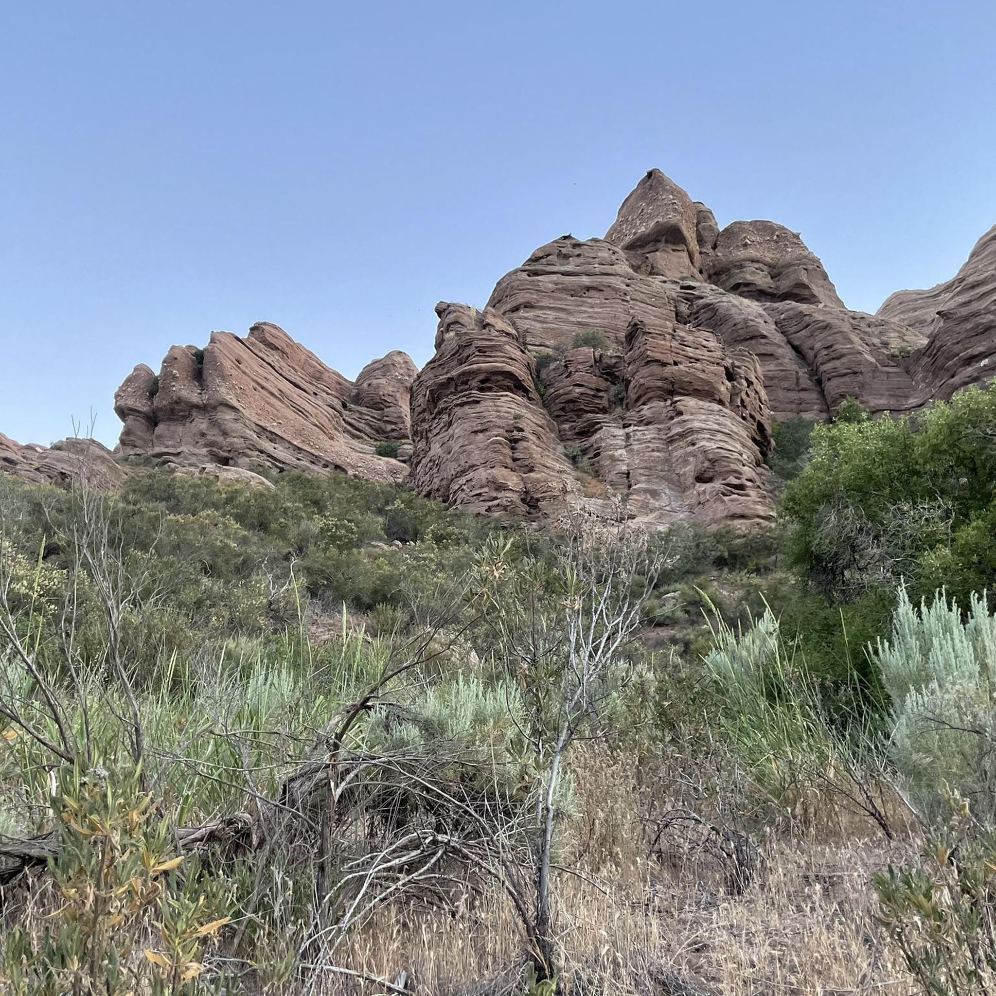
Hiking in Magic Mountain Wilderness
Pacific Crest Trail from Mexico to Canada β 4,200 kilometres of wilderness
MTB Trails in San Gabriel Mountains National Monument
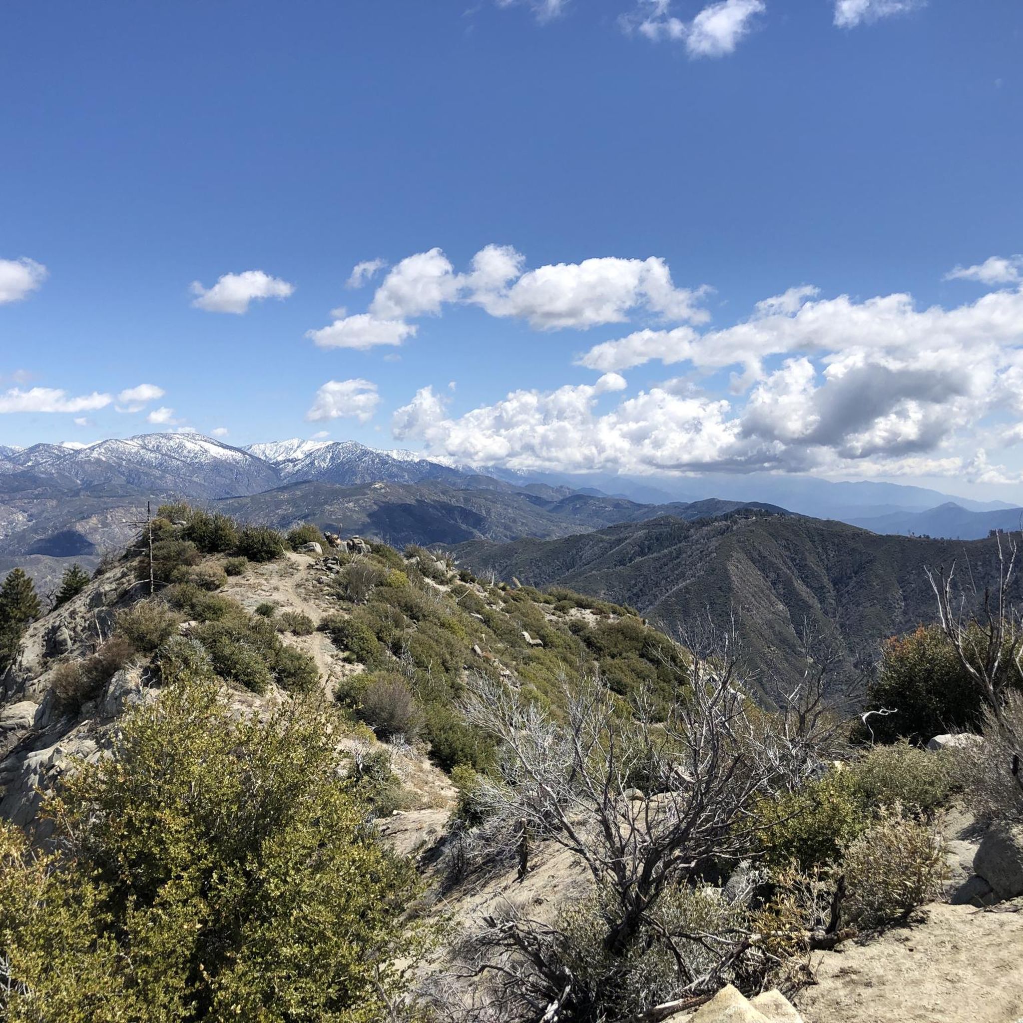
Running Trails in San Gabriel Mountains National Monument
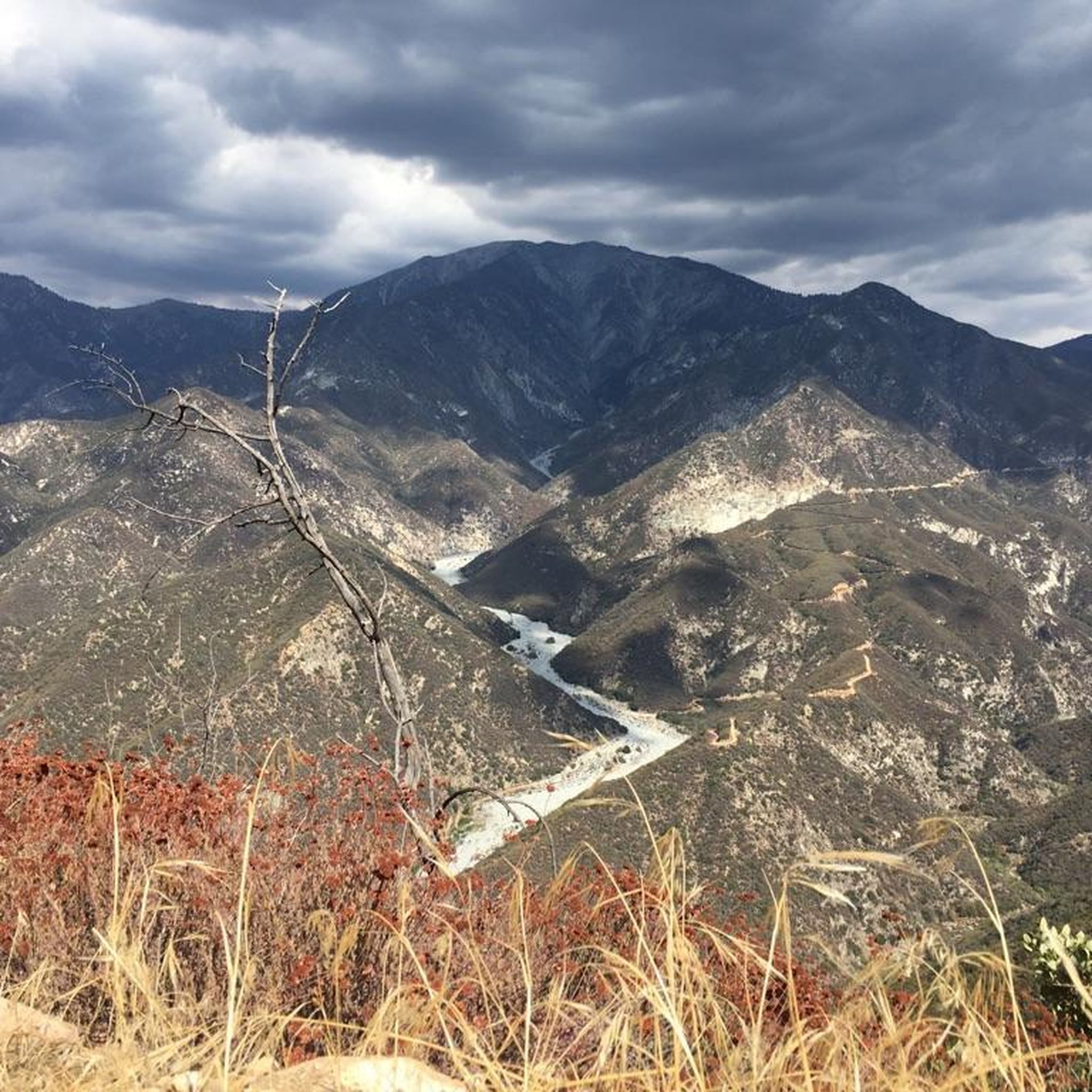
Road Cycling Routes in San Gabriel Mountains National Monument
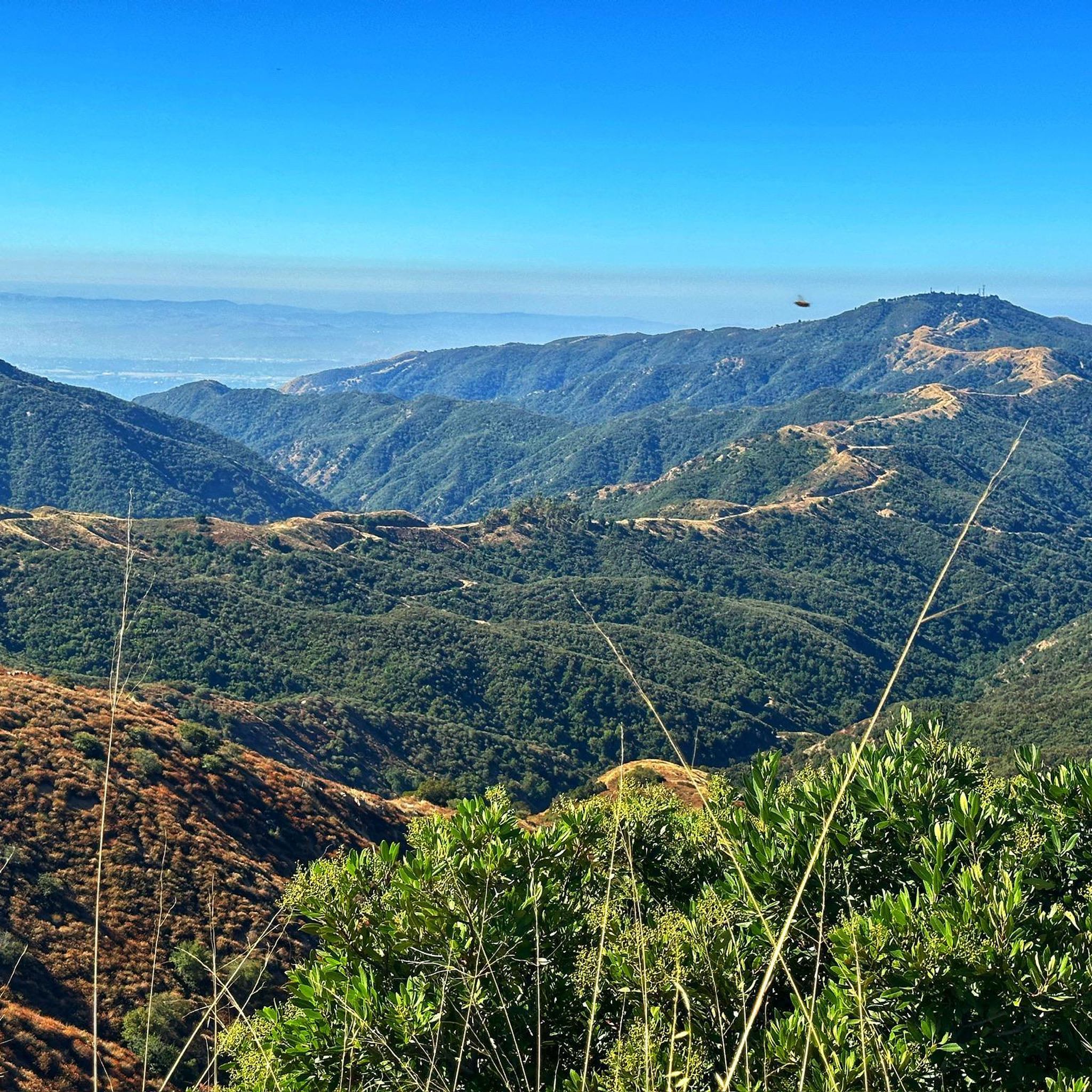
Cycling in San Gabriel Mountains National Monument
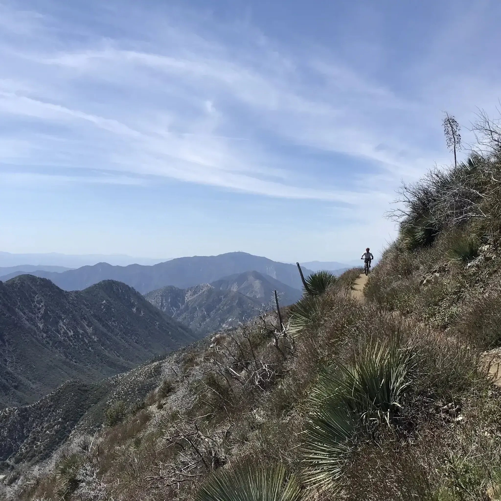
Gravel biking in San Gabriel Mountains National Monument
Vincent Gap has a restroom and parking and some nice views of the surrounding area. There is a gate beyond the gab heading west that is seasonally closed. Continue past the gates to further your adventure on the scenic Angeles Crest Highway.
0
0
The highway 2 past Redbox (Mount Wilson) is currently closed (5/20/24). Look forward to the ride when the road reopens!
1
0
On weekends and on Monday holidays the visitor centre is open from 10am to 6pm. More information can be found here: http://haramokngna.org/about-us/.
1
1
After threading your way through a maze of boulders and pine trees (but on a well-marked trail), you reach the summit of Mount Hillyer. Although this is a fun, moderate climb, with easy access, this relatively flat summit feels remote and although you might encounter mountain bikers, you will proably only see a few other hikers if any.
0
0
San Gabriel Peak is an impressive mountain in the heart of the Angeles National Forest. Standing at 6,164 feet, this tall, pointed, exposed summit grants amazing, 360 degree views across San Gabriel Mountains; the Sierra Club claims that on extremely clear days, you can see 49 peaks that are above 5000 feet from the summit of San Gabriel Peak. However, the last time this was possible was in the 1940s...
1
0
This peak is a converging point between several trails and offers a panoramic view of the area.
0
0
After a long waterless stretch, North Fork Ranger Station is a little oasis. You will find shade, picnic benches, pit toilets and water that is provided in hiker season.
3
0
At this saddle, the Windy Gap Trail meets the iconic long-distance Pacific Crest Trail and Mount Islip Trail. The latter one will lead you to the summit of Mount Islip with stunning views.
3
0
Yes, there are several options suitable for families and beginners. For a shorter outing with a historical touch, consider the Mount Lowe via Upper Sam Merrill Trail. It's a relatively gentle 3.1-mile (5 km) hike that leads to the ruins of a turn-of-the-century mountain resort, which can be exciting for kids to explore.
The San Gabriel Mountains are known for their beautiful waterfalls, especially after rainfall. While many exist, Sturtevant Falls and Eaton Canyon Falls are two of the most popular, accessible via well-trodden trails through lush canyons. Be aware that these trails can get very crowded, particularly on weekends.
Generally, dogs are permitted on leash in the Angeles National Forest and San Gabriel Mountains National Monument. However, it's always best to check specific trailhead regulations before you go. For a moderately challenging hike with your canine companion, the Josephine Peak Road offers a wide fire road path, which can be easier on paws than some of the rockier single-track trails.
Absolutely. For a strenuous day out with significant elevation gain, the hike to Mount Baden-Powell is a classic challenge. This 8-mile (13 km) route rewards hikers with panoramic views from its high-altitude summit.
The trails in the San Gabriel Mountains National Monument are highly regarded by the komoot community, with an average rating of 4.8 stars. Hikers frequently praise the stunning panoramic views, the variety of trails suiting all fitness levels, and the feeling of a true wilderness escape so close to Los Angeles.

There are over 70 curated hiking routes available on komoot for the San Gabriel Mountains National Monument. The network ranges from short, easy nature walks in chaparral-covered foothills to difficult multi-hour treks to the highest peaks in the range.
Yes, loop hikes are a great way to experience varied scenery. The Josephine Peak via Josephine Peak Road and Colby Canyon Trail loop is a fantastic moderate option. This 9.1-mile (14.7 km) circuit combines a steady fire road ascent with a more rugged canyon trail for the descent, offering diverse landscapes.
It's essential to be prepared. Always bring more water than you think you'll need, as the climate is dry and many trails are exposed to the sun. Also pack sun protection (hat, sunscreen), layered clothing as temperatures can change with elevation, sturdy hiking shoes, and snacks. A map or GPS device is crucial, as cell service is unreliable in many areas.
For most day hikes, you do not need a permit. However, you will need a National Forest Adventure Pass or an America the Beautiful Pass to park your vehicle at most trailheads within the Angeles National Forest. Some specific areas, like the Cucamonga Wilderness for overnight trips, may require additional permits.
The region has some fascinating geology. For a hike that showcases this, the Pacific Crest Trail to Vasquez Rocks is an excellent choice. This longer hike leads to the famous Vasquez Rocks Natural Area Park, known for its dramatic, tilted sandstone formations that have appeared in many films and TV shows.
The Windy Gap & Mount Islip trail is a great option. This 7.2-mile (11.6 km) hike takes you into the high country and offers expansive views from the Windy Gap saddle. It provides a true mountain experience with a manageable, steady ascent.
Weather conditions like snow, rockslides, or fires can cause sudden trail and road closures. Before heading out, it is critical to check the official Angeles National Forest website for the latest alerts, road conditions, and trail status updates. This is especially important for high-elevation trails in winter and spring.


Check out more Hikes throughout San Gabriel Mountains National Monument below and find the perfect route in your destination.
Browse the best Hikes in other regions.