The best running trails in Manti-La Sal National Forest
4.3
(7)
802
runners
56
runs
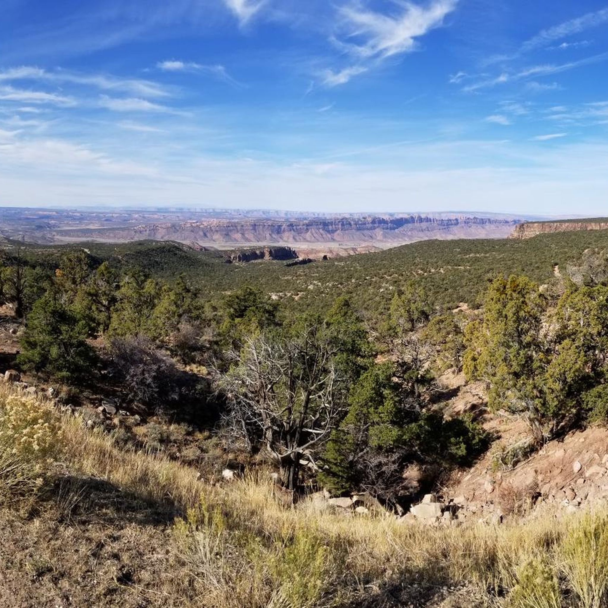
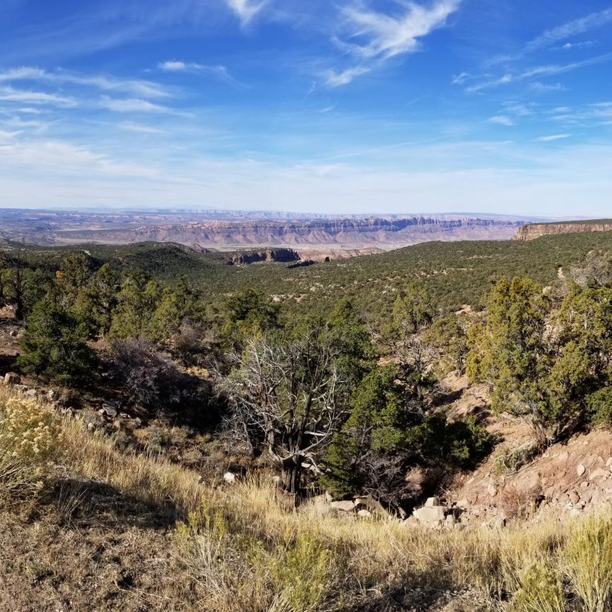
Jogging in Manti-La Sal National Forest offers diverse terrain across its 1.2 million acres, encompassing central and southeastern Utah and western Colorado. The region features distinct mountain blocks, including the La Sal Mountains and Abajo Mountains, with elevations exceeding 11,000 feet, alongside the rolling ridges of the Wasatch Plateau. Runners encounter varied landscapes, from snow-capped peaks and vibrant red rock formations to lush coniferous forests, aspen groves, and riparian zones. This environment provides a wide array of running routes suitable…
Last updated: October 12, 2026
50
runners
17.1km
01:51
260m
260m
Hard run. Very good fitness required. Mostly paved surfaces. Suitable for all skill levels.
3.0
(1)
32
runners
11.4km
01:10
50m
50m
Moderate run. Good fitness required. Mostly paved surfaces. Suitable for all skill levels.

23
runners
11.6km
01:26
230m
230m
Moderate run. Good fitness required. Mostly accessible paths. Some sure footedness required.
13
runners
11.3km
01:16
120m
120m
Moderate run. Good fitness required. Mostly paved surfaces. Suitable for all skill levels.
11
runners
8.95km
01:05
150m
150m
Moderate run. Good fitness required. Mostly accessible paths. Some sure footedness required.
Get access to more routes and recommendations from other explorers.
Already have an account?
Our route recommendations are based on thousands of hikes, rides, and runs completed by other people on komoot.
Start today with a free account
Your next adventure awaits.
Popular around Manti-La Sal National Forest
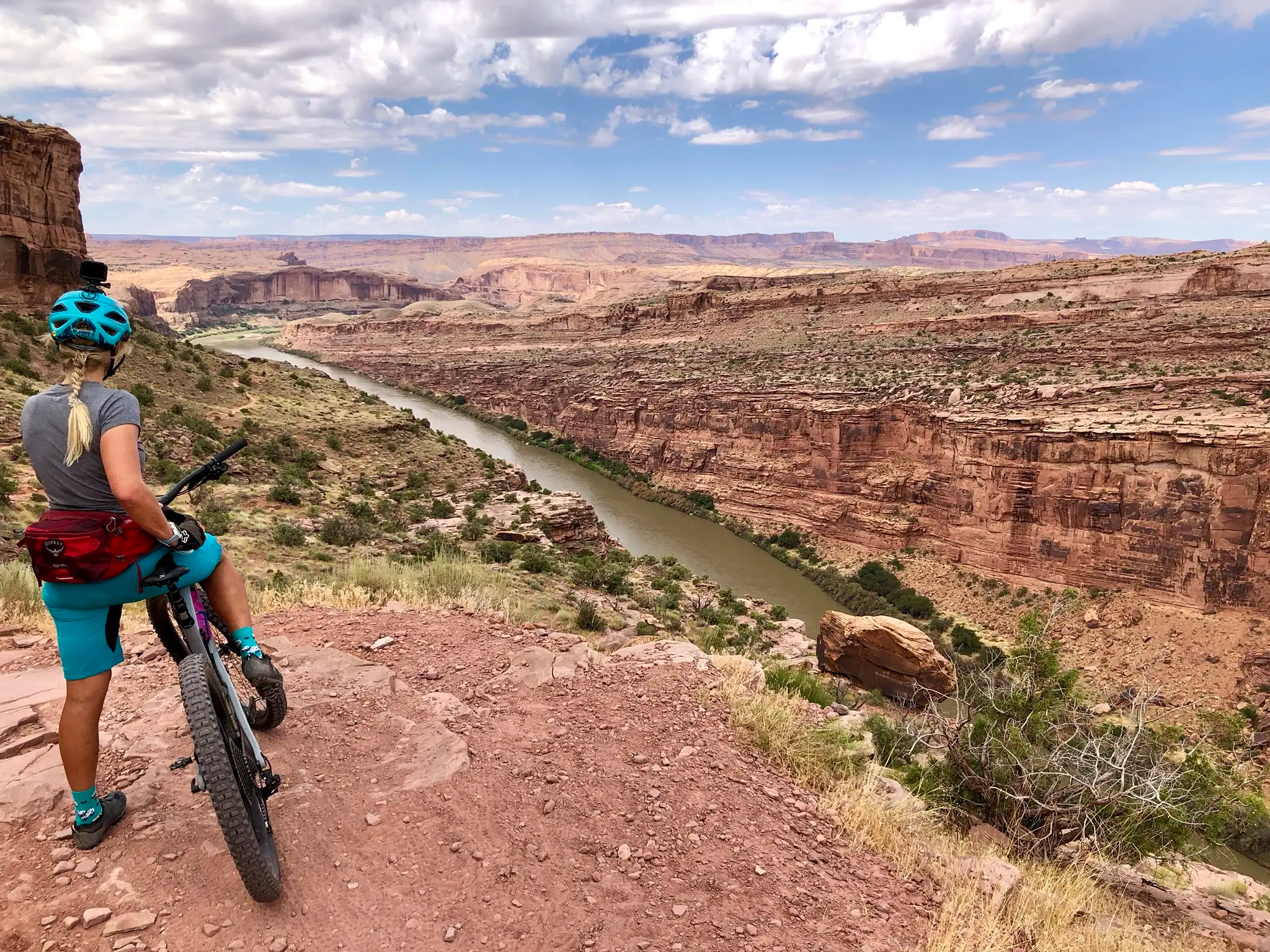
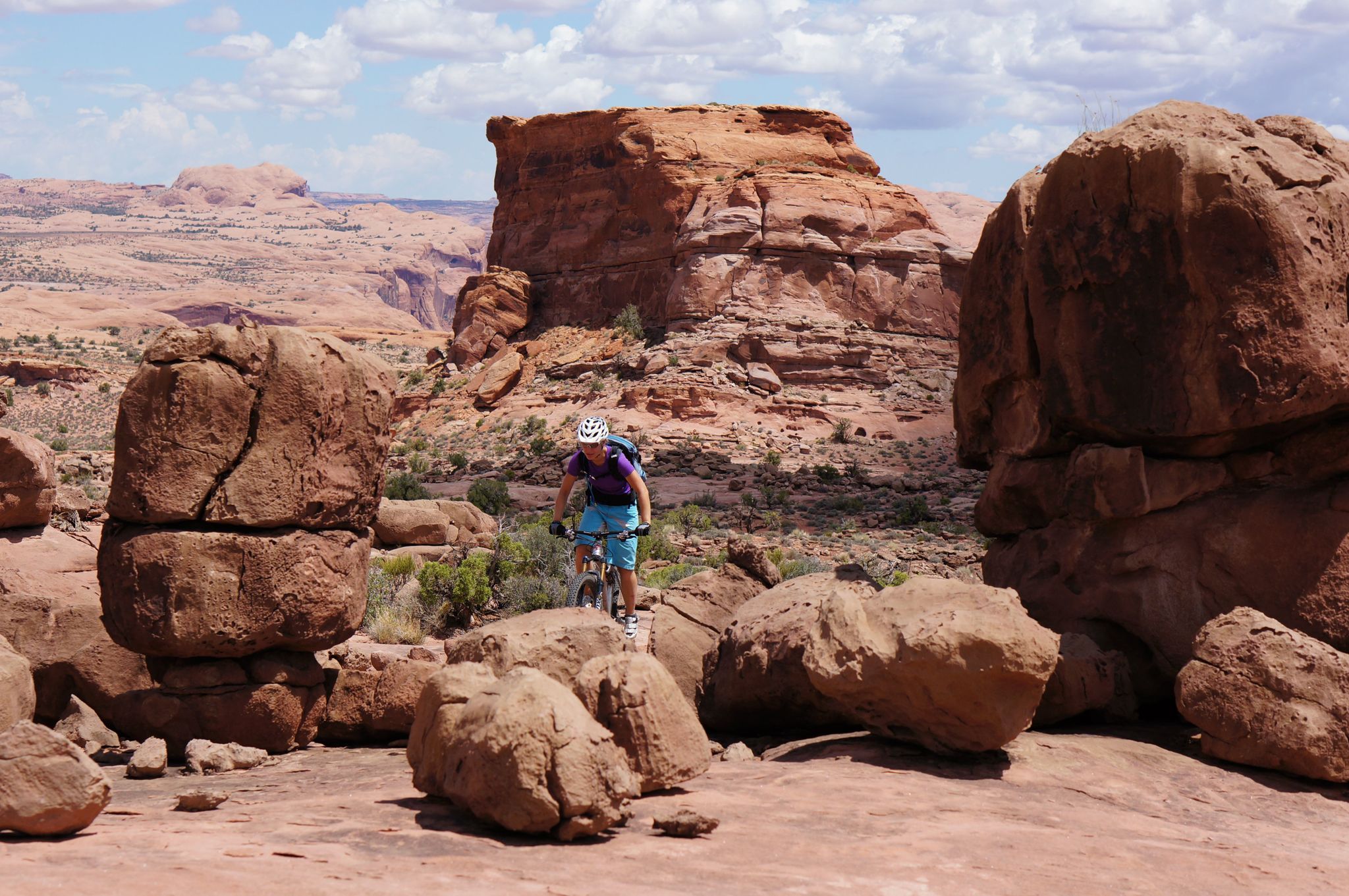
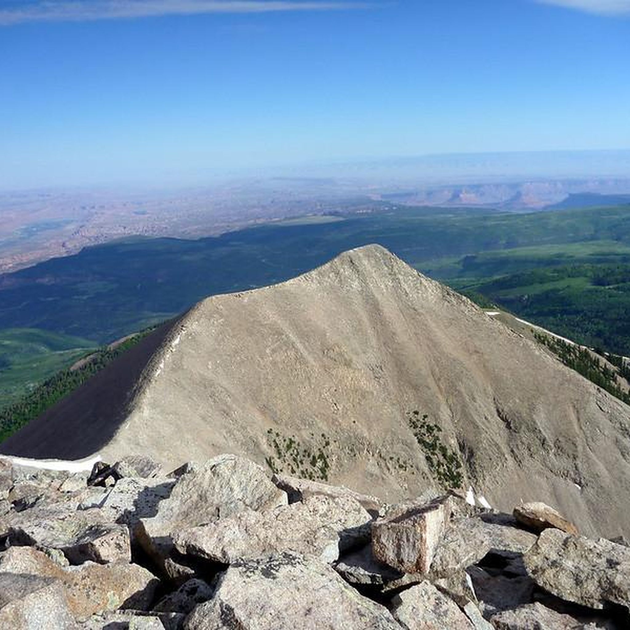
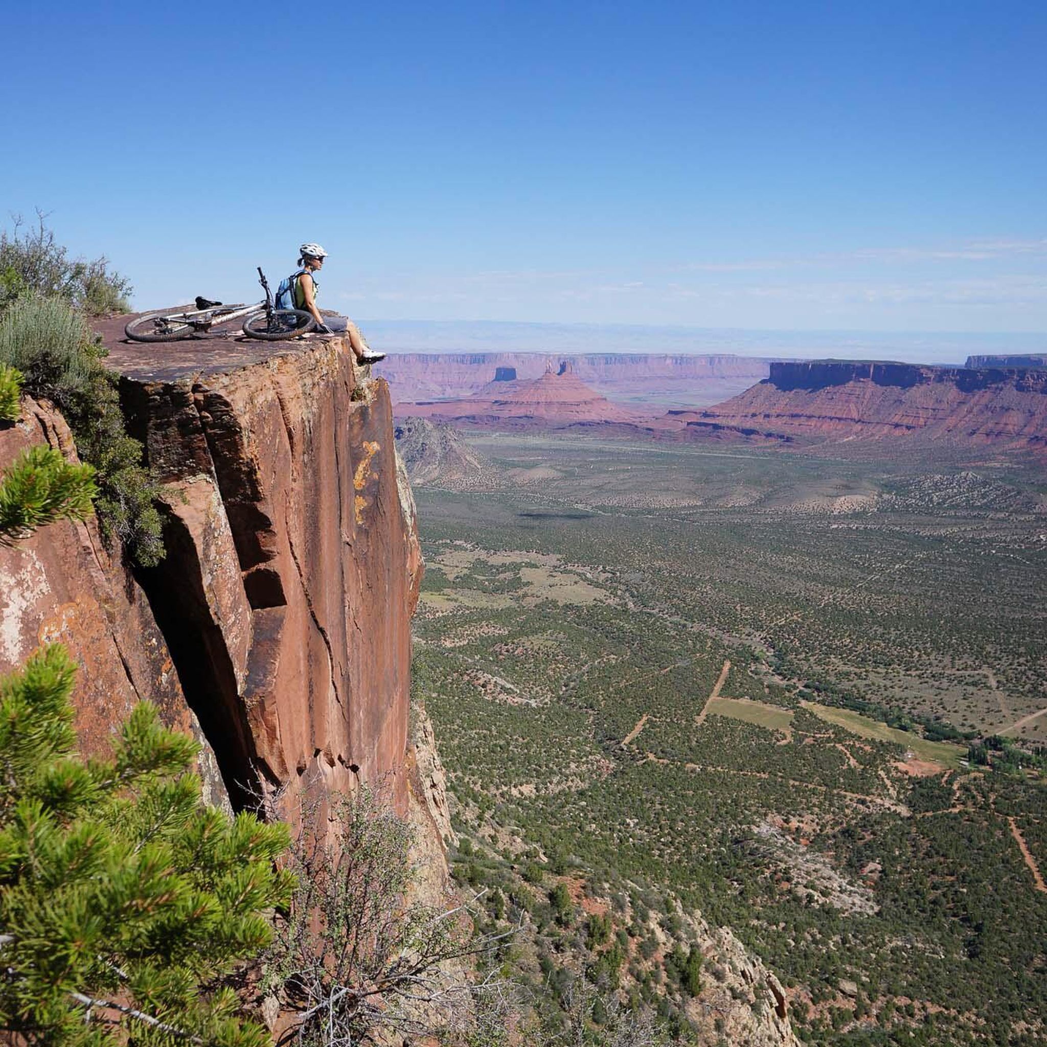
Other adventures in Manti-La Sal National Forest


Tips from the Community

Parts of the cycle path along US-191
1
0


Moab is a desert gateway town built for adventurers, framed by red-rock arches and mesas all set along the Colorado River. It’s the ideal base for exploring world-famous landscapes like Arches and Canyonlands National Parks, plus slickrock mountain biking, rafting excursions, and scenic drives through rugged canyon country. Downtown offers a nice mix of good food, galleries, gear shops, and local hospitality.
0
0

A technical singletrack running along the cliffs just outside Moab. Expect rocky sections, short climbs, and striking red rock views. Avoid the afternoon heat by going early.
0
0

The Maob Canyon Pathway is a 9 mile paved bike path that starts on Highway 128, just north of Moab. It is a great way to get into or out of Moab without having to share the road with traffic.
1
0
Frequently Asked Questions
How many running routes are available in Manti-La Sal National Forest?
Manti-La Sal National Forest offers a wide selection of running routes, with over 50 options available. These routes cater to various skill levels, including 6 easy, 30 moderate, and 18 difficult trails, ensuring there's a path for every runner.
What are the different difficulty levels for running trails in the forest?
The running trails in Manti-La Sal National Forest range from easy to difficult. You'll find 6 easy routes, 30 moderate routes, and 18 challenging routes. This diversity allows runners to choose paths that match their fitness level and desired intensity, from mostly flat, paved sections to steep, rugged mountain climbs.
What do other runners enjoy most about the trails in Manti-La Sal National Forest?
The running routes in Manti-La Sal National Forest are highly regarded by the komoot community, holding an average rating of 4.5 stars from 6 reviews. Nearly 600 runners have explored the varied terrain, often praising the stunning natural backdrops, diverse landscapes, and the opportunity to run amidst snow-capped peaks, vibrant forests, and dramatic canyons.
Are there any easy or beginner-friendly running routes in the area?
Yes, Manti-La Sal National Forest offers several easy running routes suitable for beginners or those looking for a more relaxed pace. While specific easy routes are not detailed in the guide, the forest's diverse trail system includes paths with minimal elevation gain and mostly paved surfaces, particularly near areas like Moab, which are ideal for an easy run.
Can I find circular running routes in Manti-La Sal National Forest?
Absolutely. Many routes in the forest are designed as loops, offering a convenient way to start and finish your run at the same point. An example is the Moab Canyon Pathway – Bridge over the Colorado River loop from Moab, a challenging 10.6-mile route. Another popular option is the moderate Pipe Dream trail – Pipe Dream from Aspen Bridge loop from Moab, which provides scenic views through aspen groves.
What kind of natural features or landmarks can I see while jogging?
Jogging in Manti-La Sal National Forest offers breathtaking scenery. You can encounter snow-capped mountains, vibrant red rock formations, lush coniferous forests, and aspen groves. Notable natural attractions include the picturesque Lake Oowah, nestled among spruce trees, and the dramatic sandstone cliffs of Dark Canyon Wilderness. You might also spot viewpoints like Bull Canyon Overlook and Dinosaur Track Site.
Are there any running routes that offer views of the Colorado River?
Yes, several running routes provide stunning views and access to the Colorado River. The Bridge over the Colorado River – Courthouse Wash loop from Moab is a moderate 7.7-mile trail that leads through riverine landscapes and washes, offering beautiful perspectives of the river and its surroundings.
When is the best time of year for jogging in Manti-La Sal National Forest?
The Manti-La Sal National Forest is beautiful year-round, but the best time for jogging often depends on your preference. Summer offers cooler temperatures at higher elevations, providing a respite from the desert heat. Autumn is particularly spectacular, with the aspen groves displaying vibrant fall foliage, creating an inspiring environment for a run. Some trails may be affected by snow in winter, especially at higher altitudes.
Are there any specific trails known for their scenic beauty or unique landscapes?
The forest is rich in scenic beauty. The Pipe Dream trail – Pipe Dream from Aspen Bridge loop from Moab is known for winding through beautiful aspen groves. Trails near Warner Lake offer a peaceful forested experience with alpine views and wildflowers. The La Sal Mountains themselves provide alpine vistas, while the Wasatch Plateau features broad, rolling ridges and deep green conifers, all enhancing the running experience.
Are there any challenging running routes for experienced trail runners?
Yes, Manti-La Sal National Forest has several challenging routes for experienced trail runners. For instance, the Moab Canyon Pathway – Bridge over the Colorado River loop from Moab is a difficult 10.6-mile trail with significant elevation changes. Another demanding option is the Moab – Moab Rim overlook loop from Moab, a 13.7-mile route with substantial climbs, perfect for those seeking a rigorous workout.
What kind of terrain can I expect on the running trails?
The terrain in Manti-La Sal National Forest is incredibly diverse. You can expect everything from mostly flat and paved paths to intermediate trails with uneven surfaces and small hills. More difficult routes feature steep sections, rocks, and roots. The landscape varies from snow-capped mountains and red rock formations to lush coniferous forests, aspen groves, and riparian zones along rivers and streams.
Are there any trails that connect to other areas or offer longer running options?
Many trails in the forest offer connections to other routes and roads, allowing you to create longer running options. For example, the Upper Two Mile Trail (#981) is a 4-mile path that travels along Two-Mile Creek and offers connections to other trails, making it possible to extend your run or create custom loops.
Most popular routes in Manti-La Sal National Forest
Most popular attractions in Manti-La Sal National Forest

Get inspired with the komoot mobile app


