The best MTB trails around Rørbæk Sø
5.0
(1)
36
riders
8
rides
Mountain biking around Rørbæk Sø traverses a landscape characterized by lakes, heathlands, and river sources in Central Denmark. The region features gentle elevation changes, offering diverse trails suitable for various skill levels. Riders can explore paths alongside the Gudenå and Skjern rivers, as well as routes through open heathland. The terrain provides a mix of natural surfaces and well-maintained paths.
Best mountain bike trails around Rørbæk Sø
- The most popular mountain bike trail is Source of the Gudenå River –…
Last updated: July 22, 2026
5.0
(1)
9
riders
Moderate mountain bike ride. Good fitness required. Suitable for all skill levels.
3
riders
54.6km
03:44
200m
200m
Moderate mountain bike ride. Good fitness required. Advanced riding skills necessary.

Sign up for free
2
riders
48.7km
03:27
320m
320m
Moderate mountain bike ride. Good fitness required. Advanced riding skills necessary.
2
riders
48.1km
03:26
330m
330m
Moderate mountain bike ride. Good fitness required. Suitable for all skill levels.
2
riders
26.6km
01:41
170m
170m
Easy mountain bike ride. Great for any fitness level. Suitable for all skill levels.
Get access to more routes and recommendations from other explorers.
Sign up for free
Already have an account?
Our route recommendations are based on thousands of hikes, rides, and runs completed by other people on komoot.
Start today with a free account
Your next adventure awaits.
Login or Signup
Tips from the Community

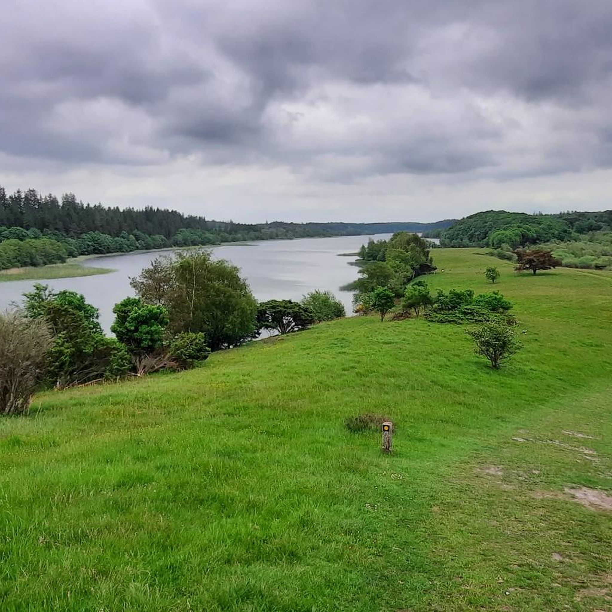
Idyllic and peaceful path through the meadow area in Skærbæk Plantage, surrounded by coniferous trees and shrubs.
0
0
A beautiful destination for outdoor activities (cycling, mountain biking and hiking) in a hilly landscape of forests and meadows.
0
0

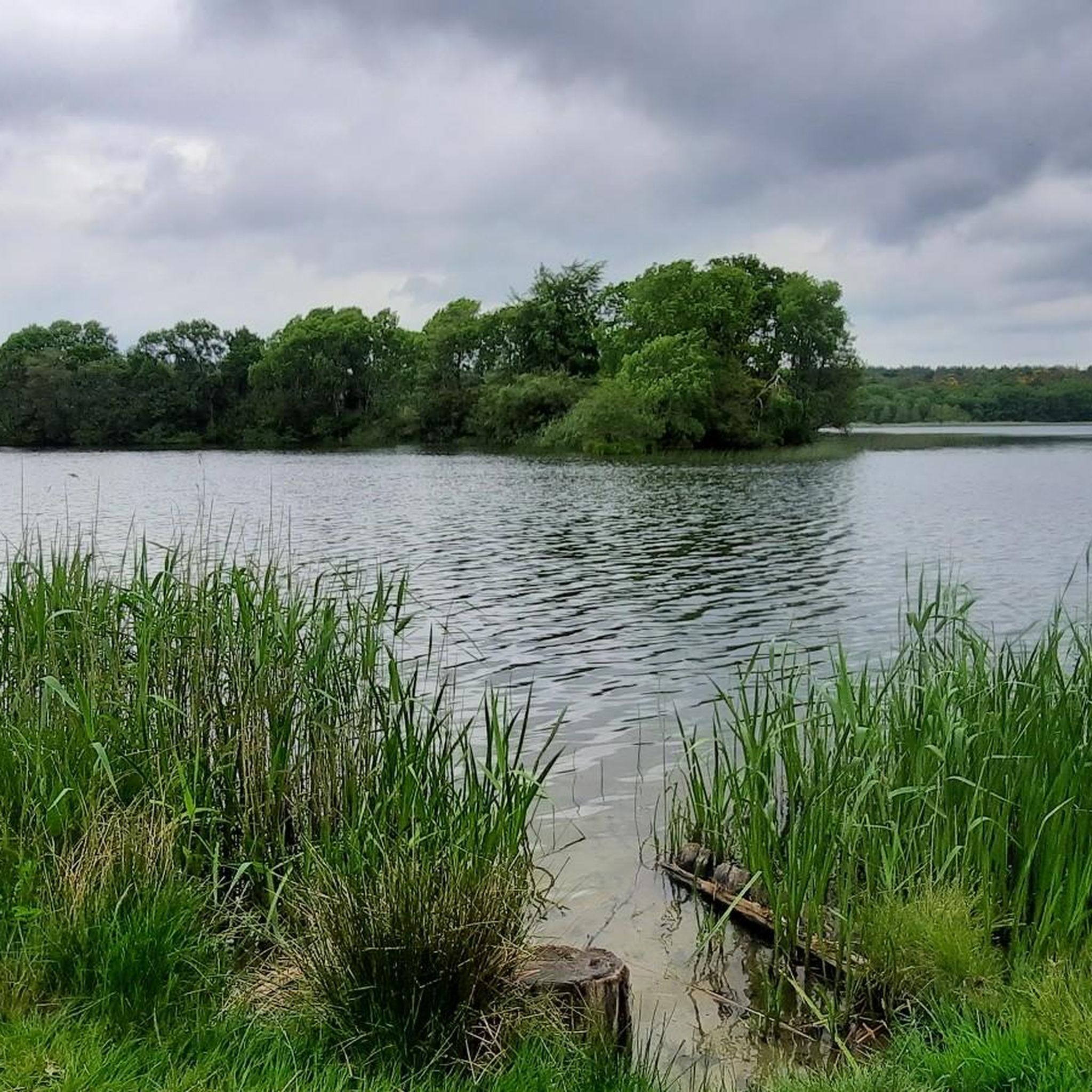
Lake Rørbæk is fed by the Skjern River, which rises 2.5 km southeast of the lake. Kulsø lies slightly west of Lake Rørbæk. Lake Rørbæk was formed in a dead-end sinkhole in the Tunnel Valley. Sand and gravel deposited in the dead ice formed several small islands, most of which are merely elevations on the lakeshore. [2] On the eastern part of the Kælderbanke ridge, south of the lake, there is a 15 × 6 m cellar, 1.5 m deep, made of boulders. [3] These are the remains of the Gammel Rørbæk farmstead, which was burned down by Swedish troops in 1657 during the First Charles Gustav War and was not rebuilt. [ 1 ] A few hundred meters south of Kælderbanke lies Ballesbækgård, where there is a small museum. [ 1 ] The lake forms the border between the municipalities of Ikast-Brande and Vejle.
0
0

Rørbæk Sø is not the only attraction in this area. The Tinnet Krat forest is a wonderful place to go hiking.
0
0

The source of the Gudenå, Denmark's longest river, is what you'll find here at this spring. What makes this spot truly unique is that the source is located in the same area as the source of the Skjern River, the country's largest river by water volume. It's a fascinating experience to see two of Denmark's most important rivers begin their journeys just a few hundred meters apart.
1
0
Make a stop at the humble source of the Skjern River, Denmark's largest river by volume. Here, in the quiet area of Tinnet Krat, you'll find the small spring that gives rise to this powerful waterway. It's a truly fascinating experience to see the beginning of such a major river, and it's a key highlight for anyone hiking the Hærvejen route. The area is a fantastic spot to reflect on the immense natural forces that shape the landscape.
1
0
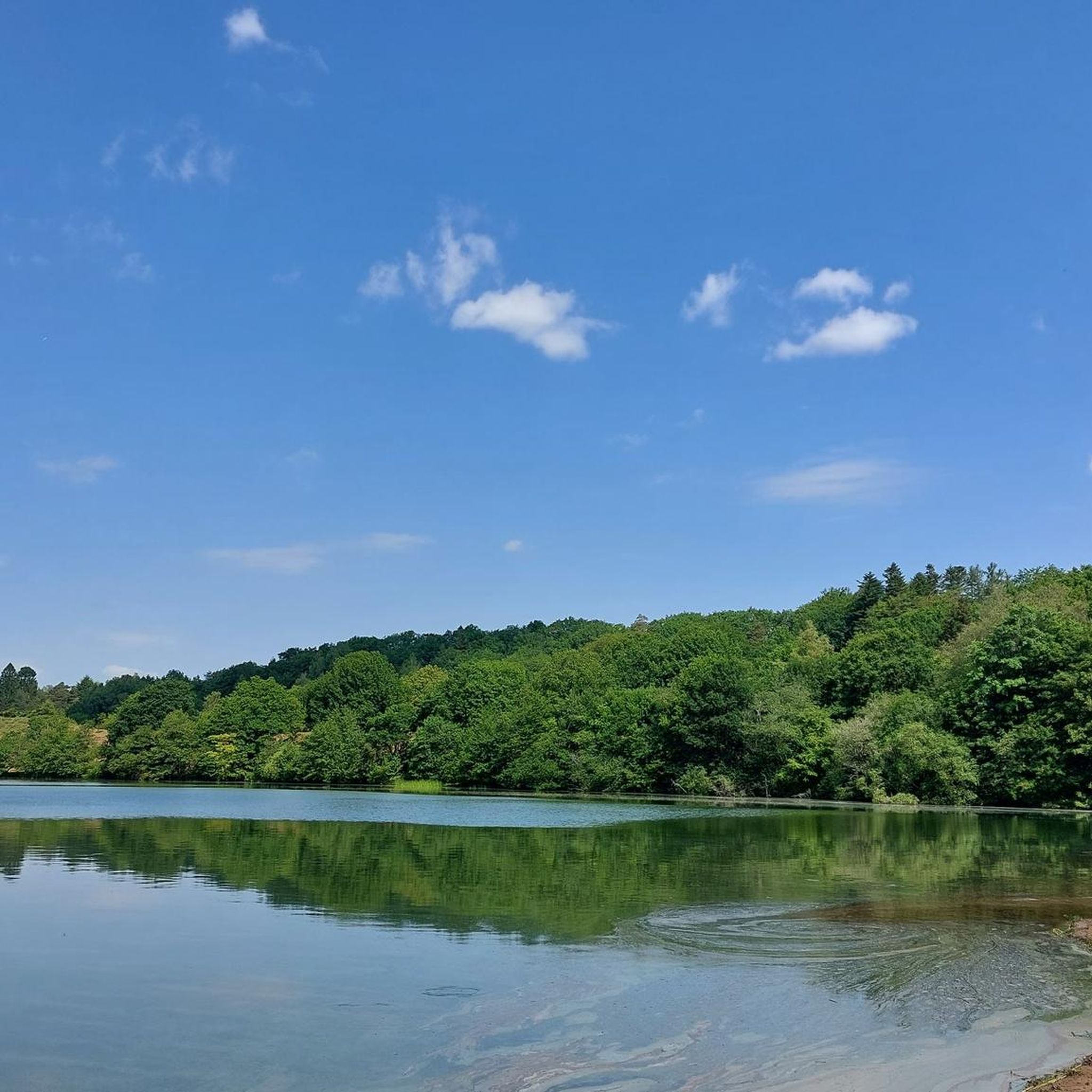
Rørbæk Lake is a stunningly beautiful spot along the Hærvejen hiking route. The clear water and quiet atmosphere make it a perfect place to pause for a break and enjoy the natural beauty of the area. On a warm day, you can even take a refreshing swim in the lake. It is a fantastic highlight for those seeking a moment of tranquillity on their journey.
1
1
The surprising trails of Grane Plantage reveal a beautiful experience with the forest floor offering up delights along the way, from carpets of moss to sheets of crystal clear mirrored water. The name, which translates to "Pine Plantation," hints at the abundant coniferous trees that create a sheltered and tranquil atmosphere. This is a perfect place to find a moment of solitude and to appreciate the variety of trees, both deciduous and evergreen, that make up the landscape.
1
0
Frequently Asked Questions
How many mountain bike trails are available around Rørbæk Sø?
There are 9 mountain bike trails documented on komoot for the Rørbæk Sø area. These routes offer a mix of easy and moderate options, traversing the region's lakes, heathlands, and river sources.
Are there easy mountain bike trails suitable for beginners or families?
Yes, the Rørbæk Sø area offers 3 easy mountain bike trails. A good option for a scenic and less demanding ride is the Lillesø loop from Ejstrupholm, which is 7.7 miles (12.4 km) long and takes about 1 hour to complete.
Are there any advanced or difficult mountain bike trails in Rørbæk Sø?
The mountain bike trails around Rørbæk Sø are generally categorized as easy to moderate. There are no trails specifically rated as 'difficult' in this guide, making the area accessible for a wide range of riders looking for enjoyable, rather than extreme, challenges.
What is the best time of year to go mountain biking around Rørbæk Sø?
The best time to go mountain biking around Rørbæk Sø is typically from spring through autumn (April to October). During these months, the weather is generally milder, and the trails are less likely to be muddy, offering better riding conditions. Summer provides longer daylight hours, while spring and autumn offer beautiful natural scenery.
Are the mountain bike trails around Rørbæk Sø prone to being muddy?
Given the natural surfaces and proximity to lakes and river sources, some sections of the trails can become muddy, especially after heavy rainfall or during wetter seasons like late autumn and winter. It's always advisable to check local weather conditions before heading out.
Are there loop mountain bike trails available?
Many of the mountain bike routes around Rørbæk Sø are designed as loops, allowing you to start and finish at the same point. Examples include the popular Source of the Gudenå River – Source of the Skjern River loop from Ballesbækgård Besøgscenter and the Harrild Heath Nature Center loop from Nørre Snede.
What kind of scenery can I expect on the mountain bike trails?
The trails offer diverse scenery, characterized by serene lake shores, expansive heathlands, and paths tracing the origins of major rivers like the Gudenå and Skjern. You'll experience a mix of open landscapes and natural paths through forests and alongside water bodies.
Is parking available near the mountain bike trails in Rørbæk Sø?
While specific parking details vary by trailhead, many starting points for trails in the Rørbæk Sø area, such as Ballesbækgård Besøgscenter or near Ejstrupholm and Nørre Snede, typically offer designated parking facilities for visitors. It's recommended to check the specific tour details on komoot for parking information related to your chosen route.
Can I reach the mountain bike trails around Rørbæk Sø by public transport?
Access to the Rørbæk Sø area by public transport can be limited, as many trailheads are located in more rural settings. While some larger towns nearby might have bus connections, reaching the exact starting points of trails often requires a car or a combination of public transport and a short ride. Planning your journey in advance is advisable.
Are there cafes or places to eat along the mountain bike trails?
The Rørbæk Sø area is primarily natural and rural. While there might be small shops or eateries in nearby villages like Ejstrupholm or Nørre Snede, direct access to cafes or restaurants along the trails themselves is not common. It's best to pack your own snacks and drinks, or plan your ride to start or end near a town for refreshments.
What do other mountain bikers enjoy the most about mountain biking in Rørbæk Sø?
The area is highly rated by the komoot community, with an average score of 5.0 stars. Reviewers often praise the tranquil natural environment, the well-maintained paths, and the opportunity to explore the unique landscape of river sources and heathlands. The variety of routes suitable for different skill levels is also frequently highlighted.
How long are the mountain bike trails near Rørbæk Sø?
The trails vary in length, catering to different preferences. You can find shorter routes like the Lillesø loop from Ejstrupholm at 7.7 miles (12.4 km), or longer excursions such as the Rørbæk Lake – Heden Heathland loop from Store Thorlund, which spans 30.3 miles (48.7 km).
Most popular routes around Rørbæk Sø

Get inspired with the komoot mobile app


Explore more
Browse the best MTB trails in other regions.
