The best walks and hikes around Rørbæk Sø
4.6
(126)
725
hikers
51
hikes
Hiking around Rørbæk Sø offers diverse and scenic landscapes, characterized by protected forests and rolling hills. The lake itself is a significant natural feature, formed in a deep glacial valley, and is part of a chain of lakes through which the Skjern Å river flows. Hikers can experience varied terrain including oak high forests, pine forests, heaths, and pastures. The region is also notable for being the watershed where the sources of Denmark's two largest rivers, Gudenåen and Skjernåen, are…
Last updated: July 22, 2026
5.0
(24)
129
hikers
10.3km
02:41
70m
70m
Hike the moderate 6.4-mile Rørbæk Sø Loop, a diverse trail offering lake views, hilly terrain, and historical insights in Central Jutland.
4.6
(17)
93
hikers
Easy hike. Great for any fitness level. Easily-accessible paths. Suitable for all skill levels.

Sign up for free
4.5
(12)
74
hikers
3.94km
01:03
30m
30m
Easy hike. Great for any fitness level. Easily-accessible paths. Suitable for all skill levels.
3.0
(2)
11
hikers
21.0km
05:31
170m
170m
Hard hike. Very good fitness required. Easily-accessible paths. Suitable for all skill levels.
4.0
(1)
8
hikers
2.04km
00:32
10m
10m
Easy hike. Great for any fitness level. Easily-accessible paths. Suitable for all skill levels.
Get access to more routes and recommendations from other explorers.
Sign up for free
Already have an account?
Our route recommendations are based on thousands of hikes, rides, and runs completed by other people on komoot.
Start today with a free account
Your next adventure awaits.
Login or Signup
Tips from the Community

Hærvejen, also known as the Ancient Road, is a historic pilgrimage and trade route running down the spine of the Jutland peninsula. The route is highly popular with both hikers and cyclists, offering a well-signposted mix of quiet asphalt lanes, gravel tracks, and scenic countryside.
0
0

Lake Rørbæk is fed by the Skjern River, which rises 2.5 km southeast of the lake. Kulsø lies slightly west of Lake Rørbæk. Lake Rørbæk was formed in a dead-end sinkhole in the Tunnel Valley. Sand and gravel deposited in the dead ice formed several small islands, most of which are merely elevations on the lakeshore. [2] On the eastern part of the Kælderbanke ridge, south of the lake, there is a 15 × 6 m cellar, 1.5 m deep, made of boulders. [3] These are the remains of the Gammel Rørbæk farmstead, which was burned down by Swedish troops in 1657 during the First Charles Gustav War and was not rebuilt. [ 1 ] A few hundred meters south of Kælderbanke lies Ballesbækgård, where there is a small museum. [ 1 ] The lake forms the border between the municipalities of Ikast-Brande and Vejle.
0
0

The source of the Gudenå, Denmark's longest river, is what you'll find here at this spring. What makes this spot truly unique is that the source is located in the same area as the source of the Skjern River, the country's largest river by water volume. It's a fascinating experience to see two of Denmark's most important rivers begin their journeys just a few hundred meters apart.
1
0
Make a stop at the humble source of the Skjern River, Denmark's largest river by volume. Here, in the quiet area of Tinnet Krat, you'll find the small spring that gives rise to this powerful waterway. It's a truly fascinating experience to see the beginning of such a major river, and it's a key highlight for anyone hiking the Hærvejen route. The area is a fantastic spot to reflect on the immense natural forces that shape the landscape.
1
0
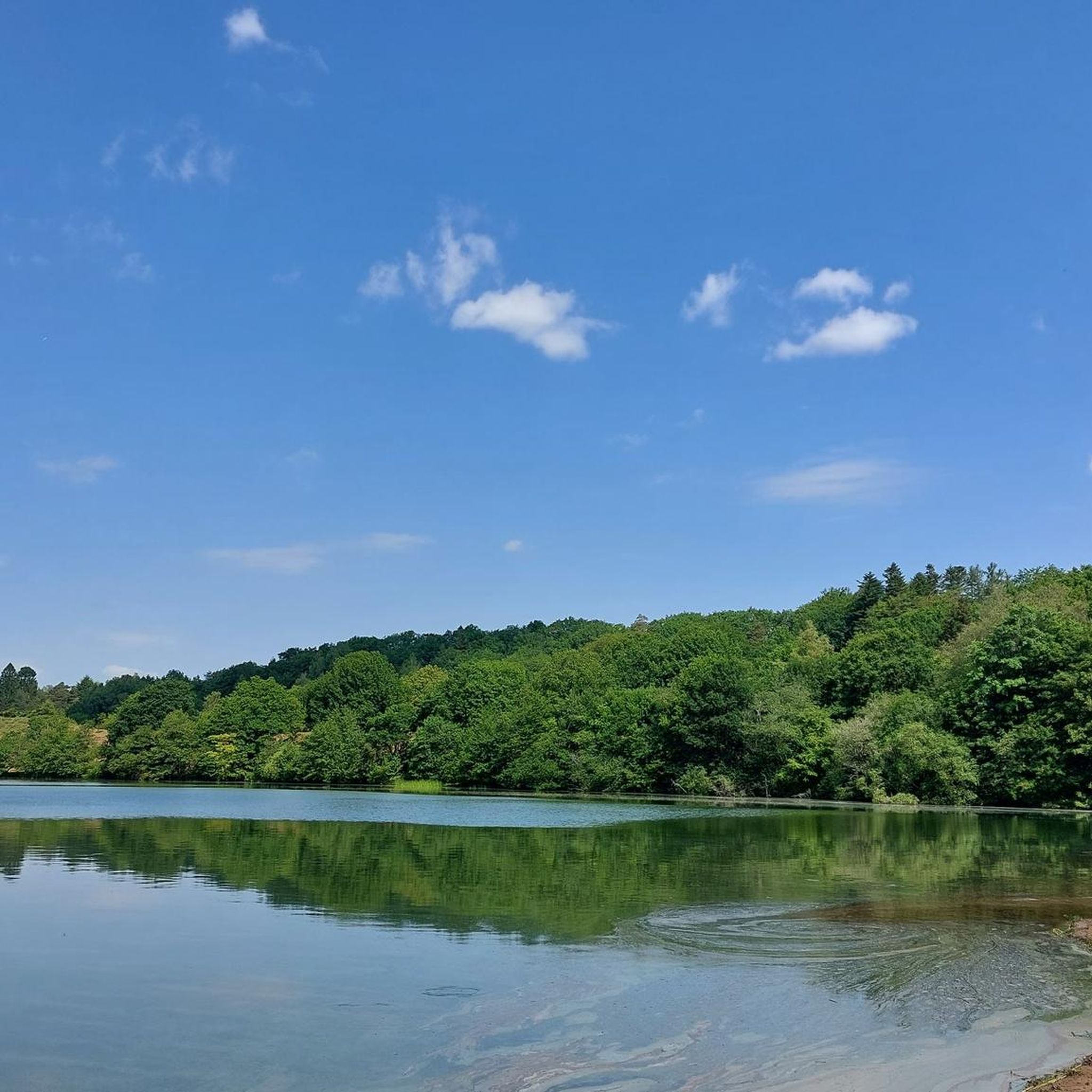
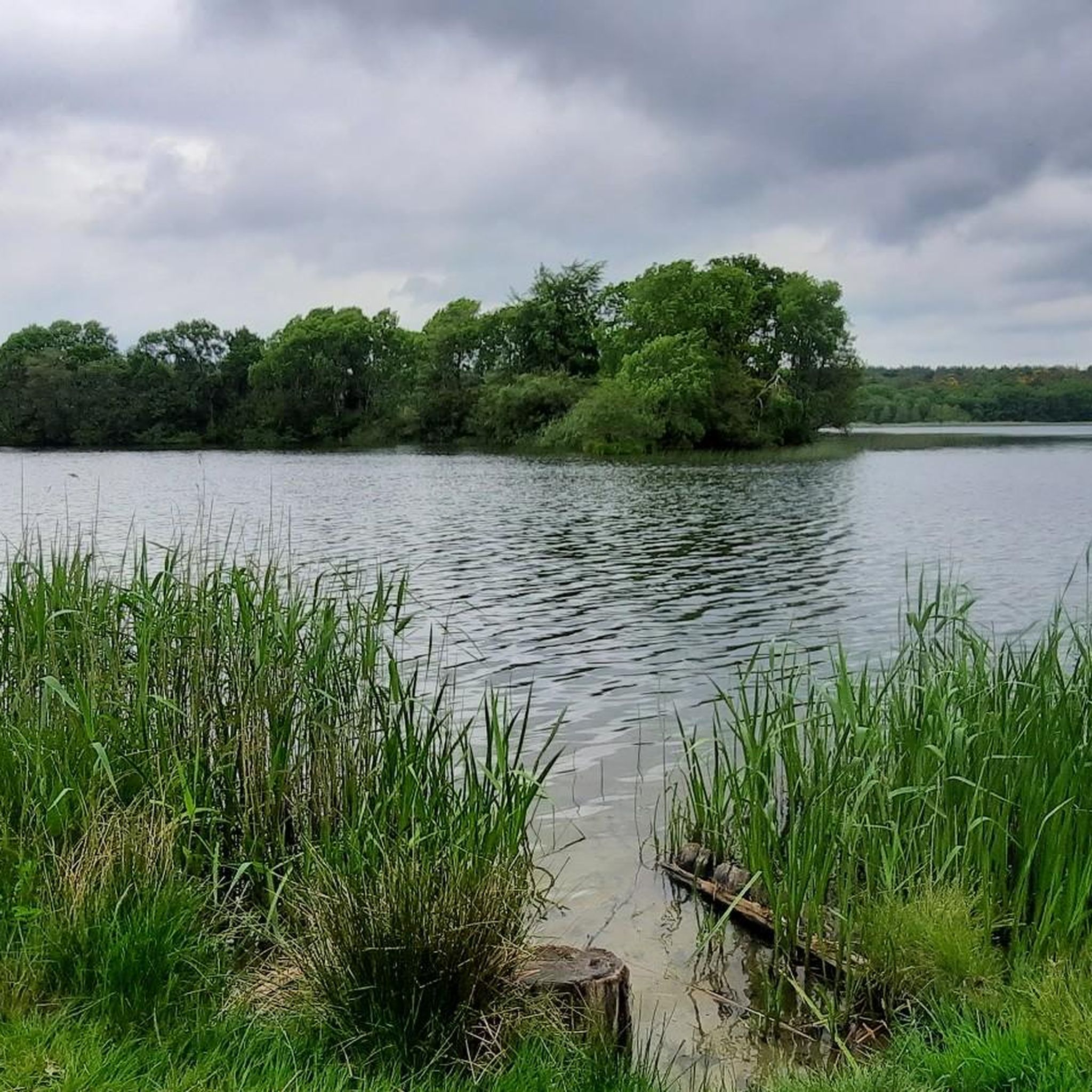
Rørbæk Lake is a stunningly beautiful spot along the Hærvejen hiking route. The clear water and quiet atmosphere make it a perfect place to pause for a break and enjoy the natural beauty of the area. On a warm day, you can even take a refreshing swim in the lake. It is a fantastic highlight for those seeking a moment of tranquillity on their journey.
1
1


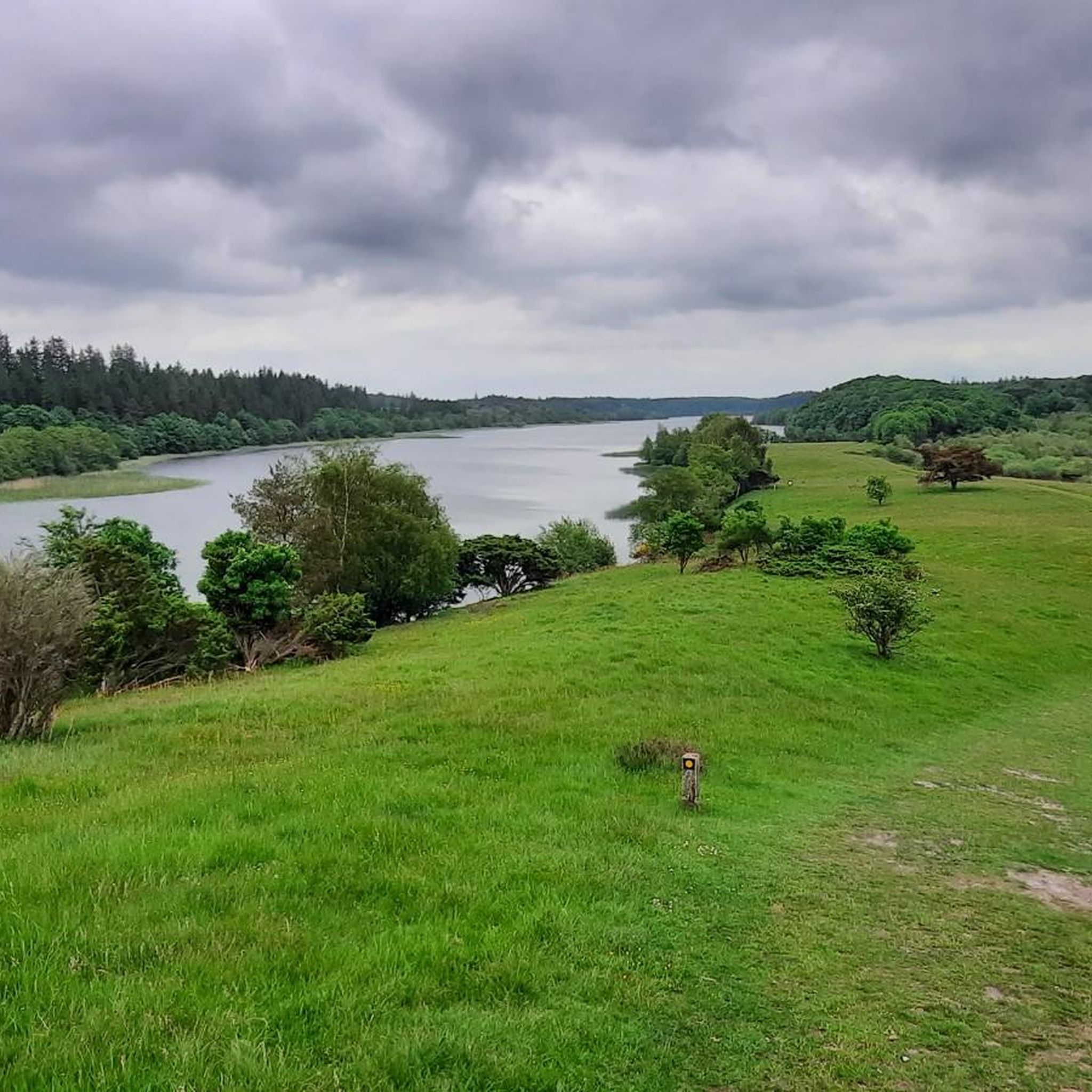
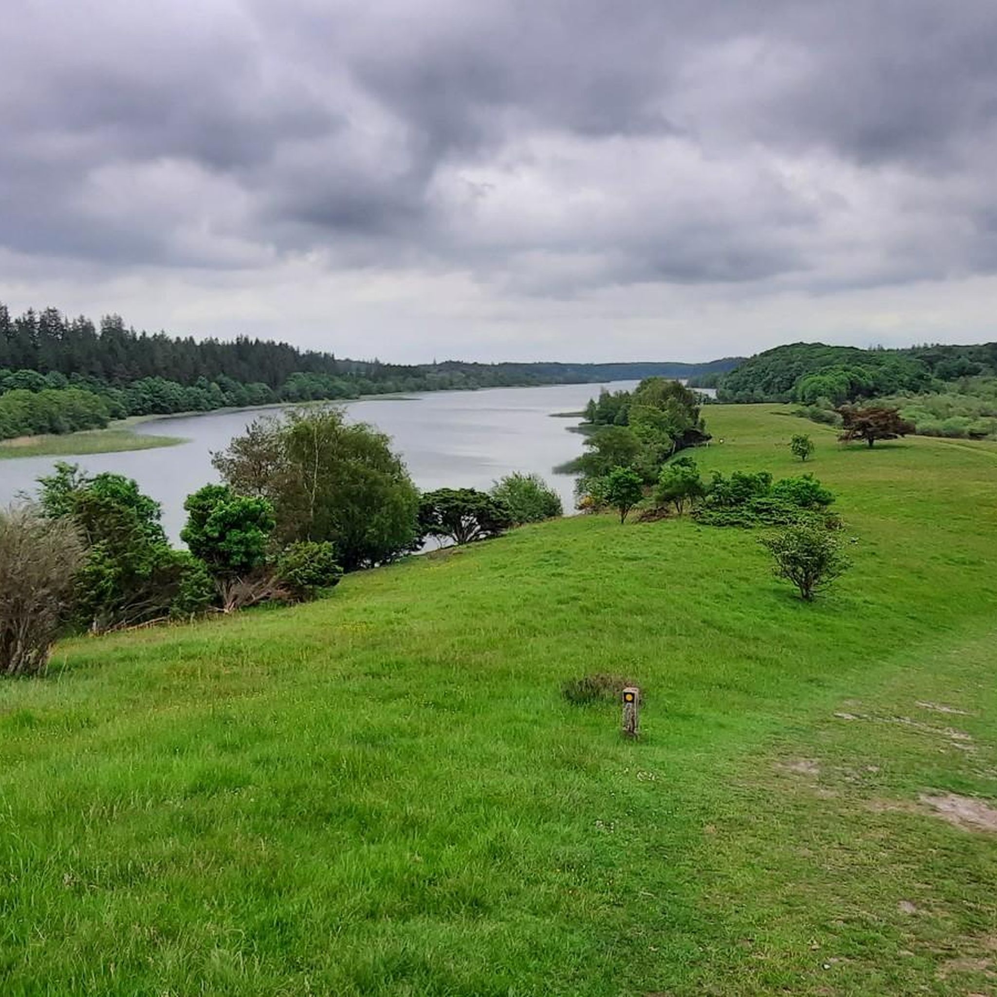
Here you will find a lovely spot for a break with a view of the lake. Rørbæk Sø was formed during the ice age. It is surrounded by forest and steep slopes with heather and juniper bushes.
0
0
This is where the Gudenå begins its almost 160-kilometer journey. Denmark's longest river meanders through Jutland and finally flows into Randers Fjord.
1
0
Frequently Asked Questions
How many hiking trails are available around Rørbæk Sø?
There are over 50 hiking routes around Rørbæk Sø, offering a wide range of options for different skill levels. You'll find 24 easy trails, 25 moderate routes, and 2 more challenging hikes to explore the diverse landscapes of the region.
What kind of terrain can I expect when hiking near Rørbæk Sø?
The terrain around Rørbæk Sø is quite varied. You can expect protected forests, rolling hills, and sections along the glacial lake. Trails traverse oak high forests, pine forests, heaths, and pastures. While some parts are relatively flat, particularly on the northern side of the lake, the southern side features more undulating and even steep climbs, offering panoramic views from elevated points like Fårebanke.
Are there any family-friendly hiking options around Rørbæk Sø?
Yes, Rørbæk Sø offers several family-friendly routes. An excellent option is the Rørbæk Lake loop from Ballesbækgård Besøgscenter, an easy 4.1 km path that leads through diverse landscapes. The Ballebæksgård Besøgscenter itself also features a nature playground, making it a great starting point for families.
Can I bring my dog on the hiking trails in Rørbæk Sø?
Rørbæk Sø is generally dog-friendly, and many trails are suitable for walks with your canine companion. However, it's always recommended to keep dogs on a leash, especially in protected natural areas and where wildlife may be present, to ensure their safety and respect the local environment.
What are some notable natural features or landmarks to look out for while hiking?
The region is rich in natural and historical landmarks. You'll encounter the beautiful Rørbæk Sø itself, part of a 'string of pearls' of lakes. The area is also the watershed for Denmark's two largest rivers, Gudenåen and Skjernåen. Historically, you can find the remains of the Gammel Rørbæk farm at Kælderbanke and the ancient Hærvejen (Ox Road) which crosses the river valley. Elevated points like Fårebanke offer breathtaking panoramic views of the lake.
Are there any circular hiking routes around Rørbæk Sø?
Yes, circular routes are a popular way to experience Rørbæk Sø. A well-known option is the Rørbæk Sø Loop, which is approximately 10.3 km long and offers continuous lake views and varied terrain. For a longer excursion, consider the Lake View – Rørbæk Lake loop from Thyregod, a 20.9 km trail that guides you through forests, heathland, and hills.
Where can I find parking facilities near the hiking trails?
Parking is available at several points around Rørbæk Sø. A good starting point with facilities is the Ballebæksgård Besøgscenter, which offers parking, public toilets, and picnic shelters. Other access points around the lake also provide parking opportunities, making it convenient to start your hike.
What is the best time of year to hike in Rørbæk Sø?
Rørbæk Sø offers beautiful hiking experiences throughout the year. Spring brings blooming flora and active wildlife, while summer provides lush greenery and pleasant temperatures for longer treks. Autumn transforms the forests with vibrant colors, and even winter offers serene, crisp walks, especially through the pine forests. The choice depends on your preference for scenery and weather conditions.
What do other hikers enjoy most about Rørbæk Sø?
The area is highly rated by the komoot community, with an average score of 4.6 stars from over 100 reviews. Reviewers often praise the diverse and scenic landscapes, the peaceful atmosphere, and the well-maintained trails that cater to various fitness levels. Many appreciate the combination of lake views, forest paths, and open heathland.
Are there any facilities like toilets or picnic areas available?
Yes, the Rørbæk Sø area is equipped with visitor amenities to enhance your hiking experience. You'll find public toilets, picnic shelters, and picnic tables at various locations, including the Ballebæksgård Besøgscenter. These facilities make it convenient for longer outings and family trips.
What kind of wildlife might I encounter while hiking?
Rørbæk Sø is part of the Natura 2000 network, indicating its ecological importance and rich biodiversity. Hikers often have the chance to spot various wildlife, including deer in the forests and a diverse range of bird species, such as fishing and sea eagles, especially near the lake and river areas.
Are there any longer or more challenging routes for experienced hikers?
For those seeking a more challenging trek, the region offers routes like the Lake View – Rørbæk Lake loop from Thyregod, a 20.9 km trail that includes varied forests, heathland, and hills, often taking around 5 hours 30 minutes to complete. Another option is the Rørbæk Lake – Lake View loop from Jutland, a moderate 13.6 km route with significant elevation changes.
Most popular routes around Rørbæk Sø

Get inspired with the komoot mobile app


Explore more
Browse the best Hikes in other regions.
