The best walks and hikes around Area G (Salmo Valley)
4.8
(16)
266
hikers
5
hikes
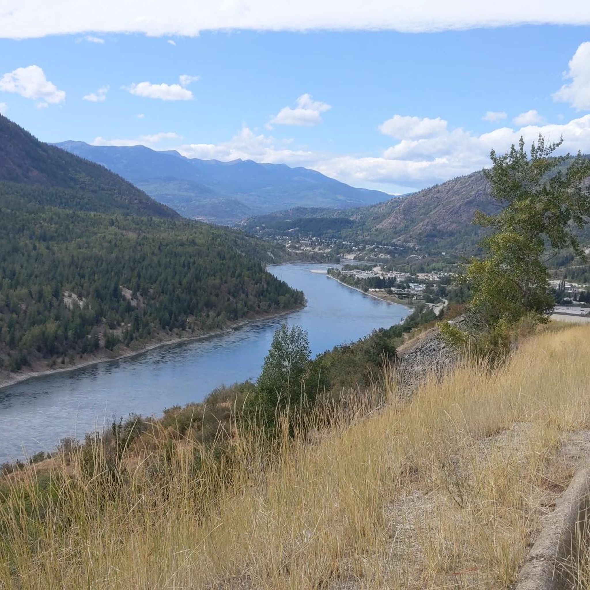
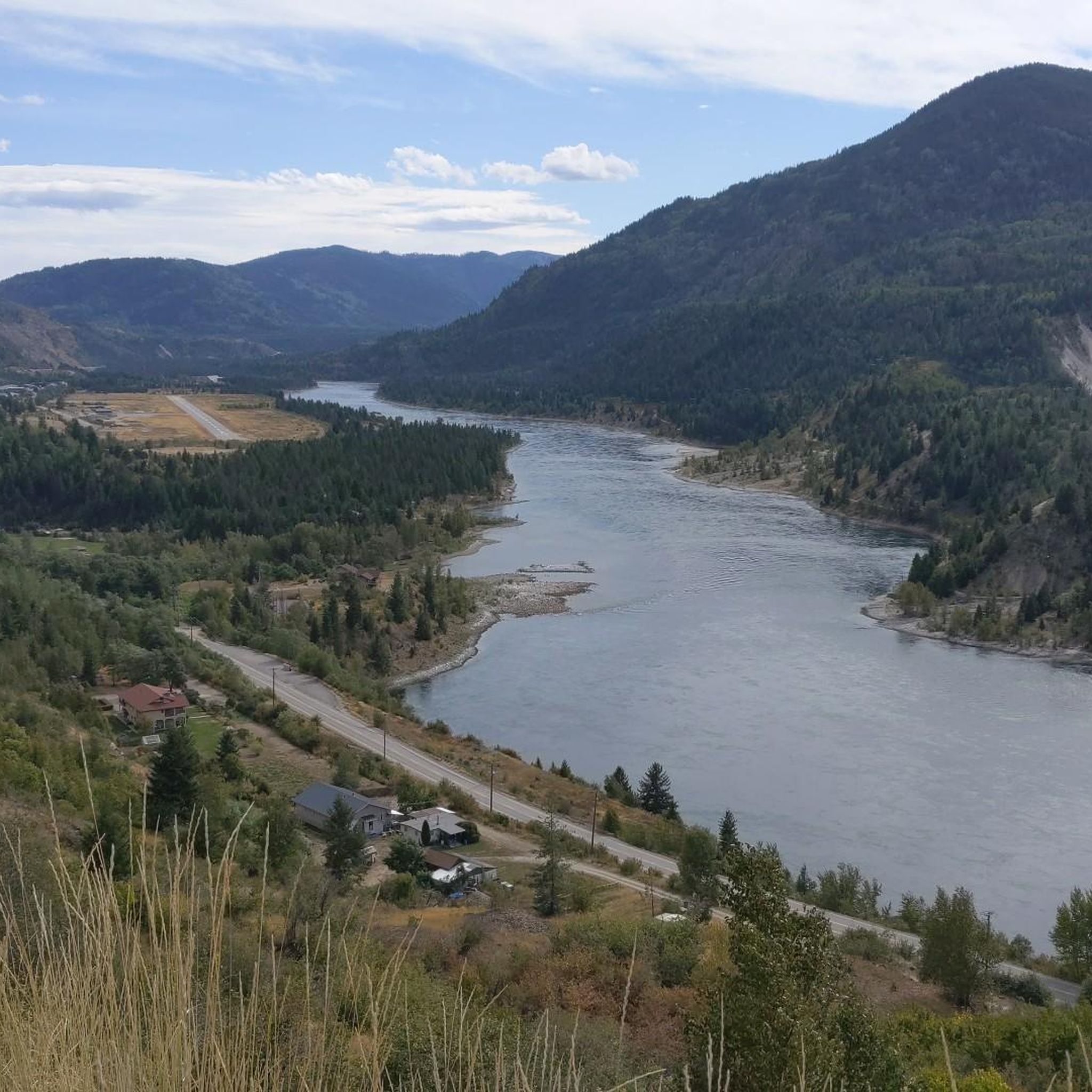
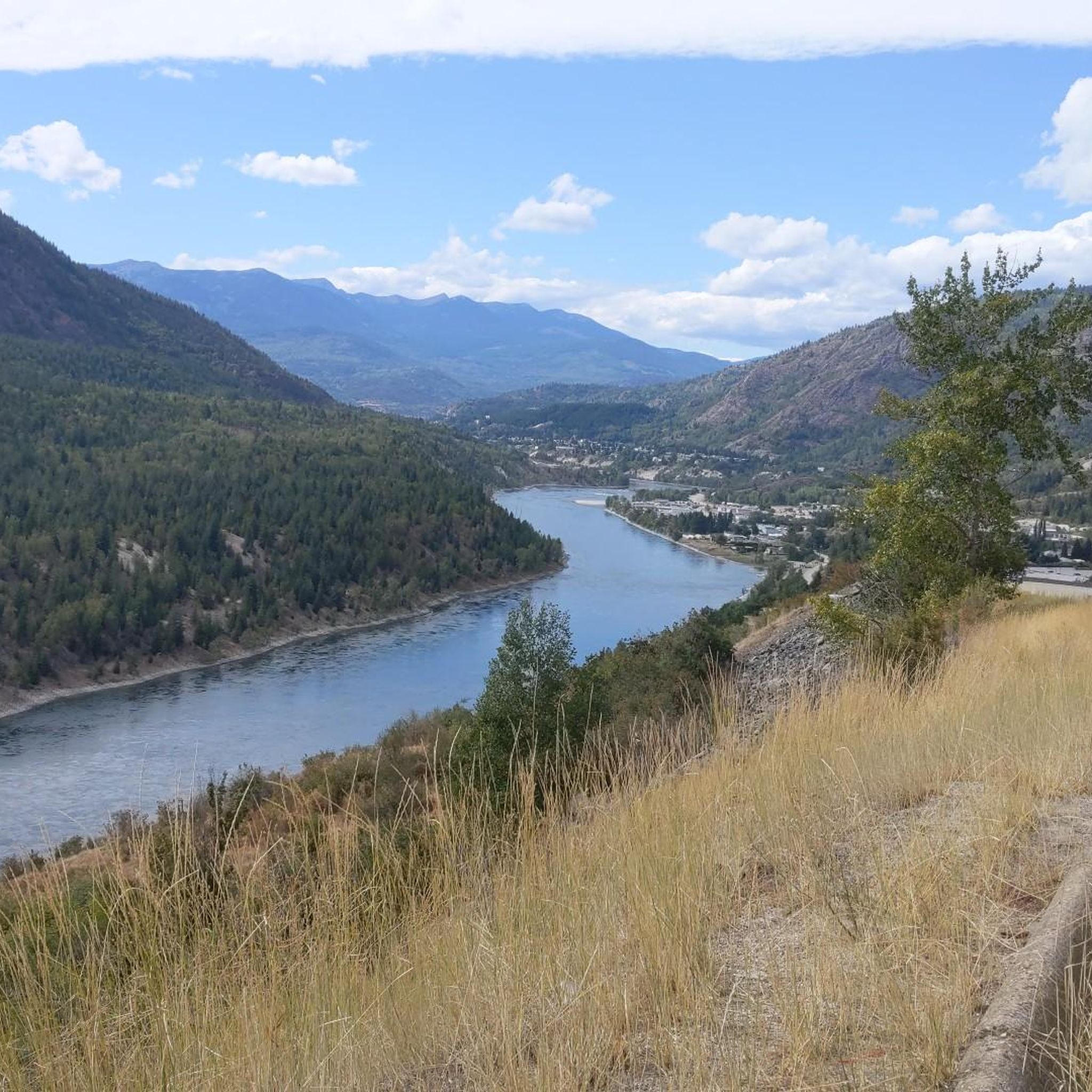
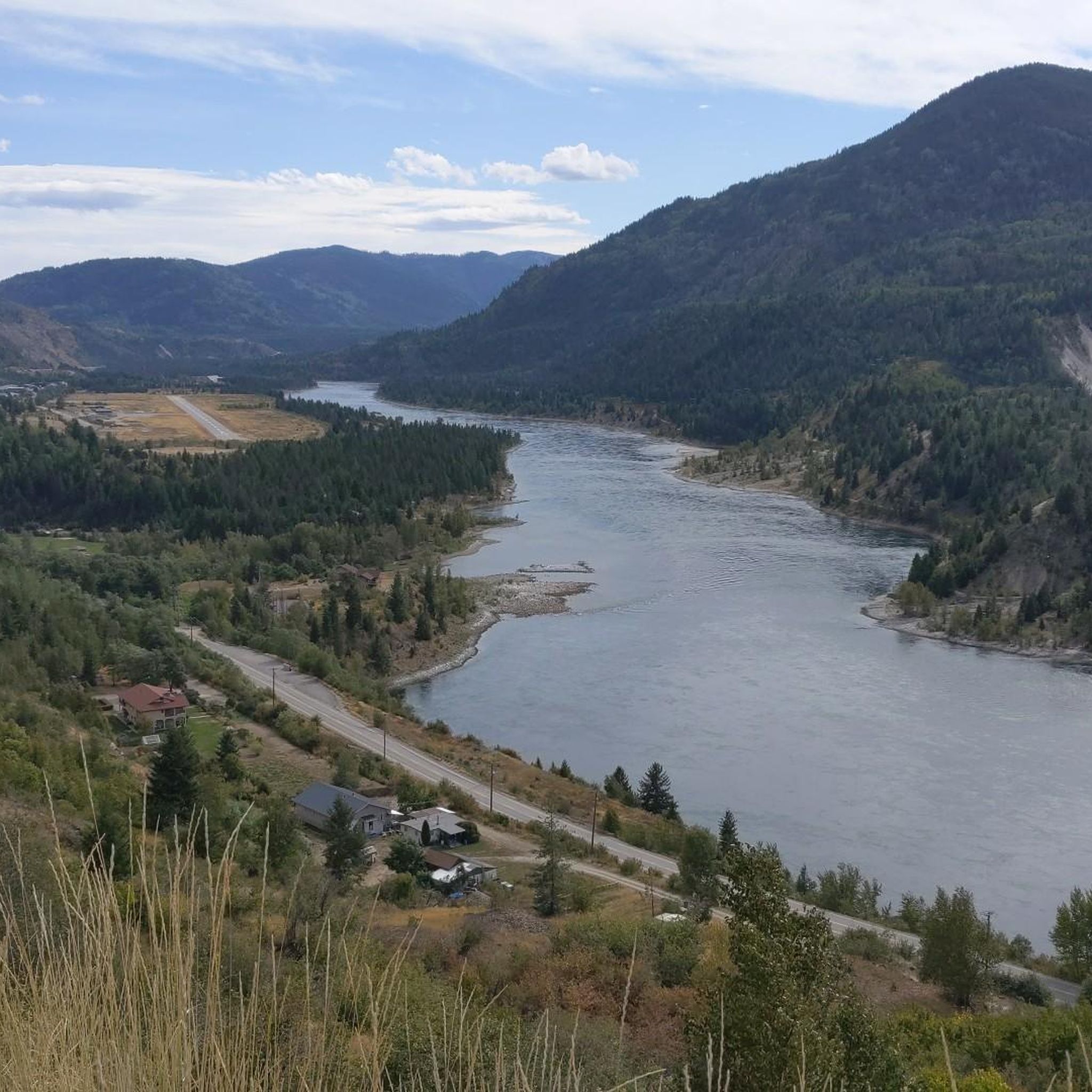
Hiking around Area G (Salmo Valley) is characterized by its location within British Columbia's Selkirk Mountains, offering a diverse landscape for outdoor activities. The region features the meandering Salmo River, old-growth forests, and access to sub-alpine lakes. Trails often follow historical routes used by miners, providing a blend of natural beauty and historical context.
Best hiking trails around Area G (Salmo Valley)
- The most popular hiking route is Salmo-Priest Loop, a difficult 21.9 miles (35.3 km) trail that takes…
Last updated: October 8, 2026
35.3km
10:58
1,220m
1,650m
Hard hike. Very good fitness required. Easily-accessible paths. Suitable for all skill levels.
5
hikers
11.1km
03:51
630m
630m
Moderate hike. Good fitness required. Easily-accessible paths. Suitable for all skill levels.

1
hikers
2.47km
00:39
20m
20m
Easy hike. Great for any fitness level. Easily-accessible paths. Suitable for all skill levels.
1.77km
00:34
70m
70m
Easy hike. Great for any fitness level. Easily-accessible paths. Suitable for all skill levels.
4
hikers
5.62km
01:34
100m
100m
Easy hike. Great for any fitness level. Easily-accessible paths. Suitable for all skill levels.
Our route recommendations are based on thousands of hikes, rides, and runs completed by other people on komoot.
Start today with a free account
Your next adventure awaits.
Tips from the Community

It's easy to cross Glade Creek here on Glade Road, as there is a short wooden bridge built over the creek. It's a convenient way to cross the waterway and a scenic way to see the river flowing below.
0
0
Glade Road is a dirt road that is part of a part of the Trans Canada Trail. Hikers often use Glade Road to access Glade Creek Falls, which requires a short walk down the road then a turn-off down another short trail to the falls.
0
0
Glade Creek Falls is a peaceful 30-metre waterfall that can be reached via a short hike. It's tucked in an old-growth cedar and spruce forest, spilling into a deep canyon pool known as the “Green Lagoon” at the base of the falls. During the hot summer months, this swimming hole can get busy, with its cold, clear water enticing on a hot day. Spring (May and June) has the most powerful torrent of water due to mountain snow melt and autumn showcases golden foliage from larch and birch trees.
0
0

Hall Street Pier sits on Nelson’s waterfront, linking Hall Street and the downtown area with Kootenay Lake. It includes seating, a covered bandshell, swimming access and views across the water. It also displays the restored Ladybird speedboat, built on Kootenay Lake in 1922.
0
0
Take a moment to admire the views across the West Arm of Kootenay Lake from the southern end of Lakeside Park. Framed by the Selkirk Mountains, this glacier-carved lake is one of British Columbia's largest and most scenic waterways.
0
0
Relax on the long sandy beach and enjoy views across the West Arm of Kootenay Lake towards the surrounding mountains. The beach is popular for swimming, paddling and picnics, while the adjoining park has gardens, a playground, playing fields and a broad waterfront promenade. You’ll also find a public wharf, boat launch and seasonal café nearby.
0
0

The campground is pretty, well-maintained, and quiet in the evenings. Bathrooms are clean and the sites are spacious and secluded, and each features a picnic table and fire ring. As of 2026, sites are $25 per party per night.
0
0
The beaches here are popular with families and dogs, and there are a few to choose from here along the shore of the east lake. This one features a playground near the water. An easy doubletrack trail winds around the shoreline between the different beach areas.
0
0
Frequently Asked Questions
What types of hiking experiences can I expect in Area G (Salmo Valley)?
Area G (Salmo Valley) offers a diverse range of hiking experiences, from easy riverside walks to challenging mountain ascents. You can explore serene trails along the Salmo River, venture into old-growth forests, or tackle climbs to sub-alpine lakes and mountain viewpoints within the Selkirk Mountains. Many trails also follow historical routes used by miners, adding a unique historical dimension to your hike.
Are there any easy or family-friendly hiking trails in the Salmo Valley?
Yes, the Salmo Valley offers several easy and family-friendly options. For a pleasant urban and riverside walk, consider the Gyro Park – Hall Street Pier loop from Downtown, which is about 6.2 km. Springboard Park also features a well-maintained 0.86 km trail through an old-growth forest along the Salmo River, perfect for an easy exploration.
Where can I find trails with scenic views in Area G (Salmo Valley)?
For panoramic views, the Abercrombie Mountain Trail offers stunning vistas and diverse flora. The Salmo Ski Hill trails, such as Sunset Trail and Jolly Joe's Trail, also provide climbs through forests with expansive views over the valley. Additionally, the Delaurentis Bluffs offer scenic viewpoints just minutes from Salmo.
Are there any trails that lead to lakes or water features?
Absolutely. The Sheep Creek Trails network provides access to beautiful sub-alpine lakes like Panther Lake, Curtis Lake, and Waldie (Wulf) Lake. Panther Lake is set at the foot of the Three Sisters Peaks, while Curtis Lake is known for its stunning shape and surrounding peaks. The Salmo River itself also features various swimming holes along its meandering path.
What are some longer or more challenging hikes in the region?
For a more challenging adventure, the Salmo-Priest Loop is a difficult 35.3 km trail traversing mountainous terrain, typically taking nearly 11 hours to complete. The Sheep Creek Trails network also includes routes to sub-alpine lakes that vary in difficulty, offering more strenuous options for experienced hikers.
Can I bring my dog on the hiking trails in Salmo Valley?
Many trails in the Salmo Valley are dog-friendly, but it's always best to check specific trail regulations before heading out. Generally, trails in natural areas like the Great Northern Rail Trail Network or the Hooch Trail Network are suitable for dogs, provided they are kept on a leash and you practice Leave No Trace principles.
Are there any circular (loop) trails available?
Yes, there are several loop trails. The Gyro Park – Hall Street Pier loop from Downtown is an easy option. Another loop is the Cornice Ridge loop from Stagleap Provincial Park, which is about 5.7 km and also considered easy. These offer convenient ways to experience the scenery without needing to retrace your steps.
What historical sites or landmarks can I see while hiking?
The Salmo Valley is rich in history. Many trails, particularly those leading to sub-alpine lakes like Panther Lake, follow routes used by miners and pack animals in the early 1900s, where you can still find traces of these original paths. Additionally, the Great Northern Rail Trail Network is part of the TransCanada Trail system and follows an important historical railway connection. You can also visit the Kootenay Pass, known for its historical significance and scenic views.
What do other hikers enjoy most about hiking in Area G (Salmo Valley)?
The hiking routes in Area G (Salmo Valley) are highly rated by the komoot community, with an average score of 4.8 stars from over 10 reviews. Hikers often praise the diverse terrain, from mountainous backdrops to serene riverside paths, and the opportunities to explore both natural beauty and historical sites.
Are there opportunities for wildlife viewing in the Salmo Valley?
The Salmo Valley is a natural haven for wildlife. Its diverse ecosystems, including mountains, pristine lakes, streams, and rivers, provide abundant food and shelter for various species. Hikers often spot wildfowl, moose, deer, and even a turtle family. Keep an eye out for a small herd of Bighorn Sheep near Kootenay Pass.
How many hiking trails are there in Area G (Salmo Valley)?
Area G (Salmo Valley) boasts an extensive network of trails, with numerous options for hikers of all abilities. While komoot features a selection of popular routes, the region's trail societies maintain many multi-use trails, including the Great Northern Rail Trail Network, Salmo Ski Hill Trails, and the Hooch Trail Network, offering a wide variety of paths to explore.
Most popular attractions around Area G (Salmo Valley)

Get inspired with the komoot mobile app


Explore more
Browse the best Hikes in other regions.
