The best cycling routes around Kootenay Boundary E
4.9
(42)
737
riders
6
rides
Touring cycling routes around Kootenay Boundary E are set amidst a diverse landscape featuring towering mountains, deep treed valleys, and extensive rail trails. The region offers a blend of natural beauty, including sparkling lakes and lush forests, providing varied terrain for cyclists. Many routes utilize decommissioned railway lines, offering relatively flat and accessible paths through scenic areas.
Best touring cycling routes around Kootenay Boundary E
- The most popular touring cycling route is Myra Canyon Trestle Bridge – Myra Canyon Tunnels…
Last updated: May 15, 2026
24
riders
Hard bike ride. Very good fitness required. Mostly paved surfaces. Suitable for all skill levels.
6
riders
44.9km
03:56
550m
550m
Hard bike ride. Very good fitness required. Mostly paved surfaces. Suitable for all skill levels.

Sign up for free
5
riders
Hard bike ride. Very good fitness required. Mostly paved surfaces. Suitable for all skill levels.
5.0
(1)
7
riders
Moderate bike ride. Good fitness required. Mostly paved surfaces. Suitable for all skill levels.
4
riders
Moderate bike ride. Good fitness required. Mostly paved surfaces. Suitable for all skill levels.
Our route recommendations are based on thousands of hikes, rides, and runs completed by other people on komoot.
Start today with a free account
Your next adventure awaits.
Login or Signup
Popular around Kootenay Boundary E
Tips from the Community

Between 1915 and up to 1989, steaming trains thundered over the Kettle Valley Railroad. Nowadays, you can now hike and bike on today's Kettle Valley Rail Trail. The trail is almost 500 kilometers long and stretches from the town of Hope at the eastern end of the Fraser Valley or Lower Mainland to the border between Canada and the USA at Midway, Okanogan. And that's not all: it is part of the longest trail in the world, the Trans-Canada Trail, which is an impressive 22,000 kilometers long and connects three oceans.
3
0

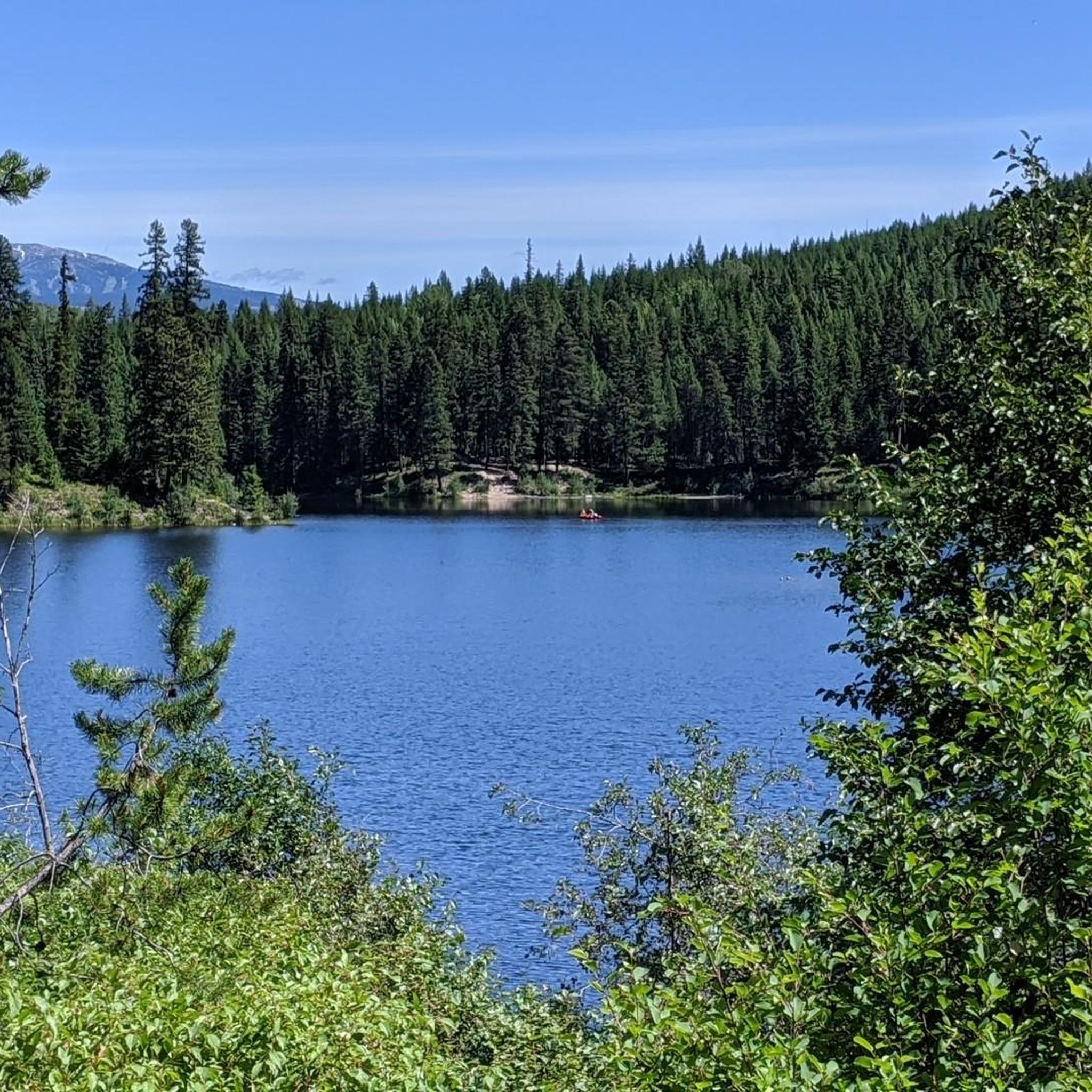
Close to Hydraulic Lake, great spot for a break from rough trail conditions (in 2021/2022) and take a picture.
1
0
Bellevue Trestle (actually a steel girder bridge) is one of the longest bridges on the Kettle Valley Rail Trail. The bridge is 238 metres long, 65 metres high and is protected within Myra-Bellevue Provincial Park.
1
0
View towards the end of
0
0
Where you can park your car today and start walking or biking the famous Kettle Valley Trail, Myra Station was built in 1914, where Canadian Pacific Railway trains stopped. Just a kilometer or so away, you can see two pictures of what Myra Station used to look like at the information pavilion. Today, unfortunately, nothing reminds of it.
4
0
At this point, you'll have a prime view of Myra Canyon and the route of the former Kettle Valley Trail winding through it. Across the way, the wood-and-steel tracks over which the railroad once chugged proudly tower. Today, you can hike and bike here.
5
0
Frequently Asked Questions
What are the typical difficulty levels for touring cycling routes in Kootenay Boundary E?
The touring cycling routes in Kootenay Boundary E cater to a range of abilities. Based on komoot data, you'll find a mix of moderate and difficult routes. There are 2 moderate routes and 5 difficult routes, offering challenges for experienced cyclists while still providing accessible options.
Are there family-friendly touring cycling routes in Kootenay Boundary E?
Yes, the region is known for its accessible rail trails, which are often suitable for families. The Kettle Valley Rail Trail, for instance, offers relatively flat terrain and impressive views, making sections of it ideal for a family outing. While some routes are rated difficult, many parts of the rail trail network are gentle and enjoyable for all ages.
What kind of terrain and scenery can I expect on touring cycling routes in Kootenay Boundary E?
You can expect diverse terrain, from the smooth surfaces of decommissioned rail trails to gravel roads and some paved sections. The scenery is breathtaking, featuring towering mountains, deep treed valleys, sparkling lakes like Kootenay Lake and Slocan Lake, and lush forests. Many routes offer panoramic views of canyons and distant peaks, especially along the historic Kettle Valley Rail Trail.
Are there any long-distance touring cycling routes in the Kootenay Boundary E region?
Absolutely. The region is a hub for long-distance cycling, primarily due to its extensive rail trail network. The iconic Kettle Valley Rail Trail stretches almost 500 kilometers, offering multi-day touring opportunities. Additionally, the Myra Canyon Trestle Bridge – Myra Canyon Tunnels loop from Kelowna Nordic Ski and Snowshoe Club is a longer option at 46.8 km, providing a significant day trip.
Can I find circular touring cycling routes in Kootenay Boundary E?
Yes, many popular touring cycling routes in the region are designed as loops, allowing you to start and end at the same point. Examples include the Myra Canyon Trestle Bridge – Myra Canyon Tunnels loop from Kelowna Nordic Ski and Snowshoe Club and the shorter Myra Canyon Tunnels – Myra Canyon Trailhead loop from Myra Bellevue Protected Area.
What natural features or landmarks can I see along the touring cycling routes?
The routes are rich with natural beauty and historic landmarks. A major highlight is Myra Canyon, home to the spectacular Myra Canyon Wooden Trestle Bridges and numerous tunnels along the Kettle Valley Rail Trail. You'll also encounter features like Steel Trestle #9, offering impressive vistas of canyons and valleys.
Where can I park my car when starting a touring cycling route in the Myra Canyon area?
For routes in the popular Myra Canyon area, you can find convenient parking at locations like Myra Station - Kettle Valley Trailhead. This provides easy access to many of the loop routes that explore the trestles and tunnels.
What is the best season for touring cycling in Kootenay Boundary E?
The best season for touring cycling in Kootenay Boundary E is typically from late spring through early autumn (May to October). During these months, the weather is generally mild, and the trails are clear of snow, offering optimal conditions to enjoy the region's diverse landscapes and scenic routes.
Are there cafes or places to stop for refreshments along the touring cycling routes?
While specific cafes might vary by route, many of the rail trails, especially sections of the Kettle Valley Rail Trail, pass through or near small communities. These towns often offer opportunities to find refreshments, local eateries, or picnic spots. It's always a good idea to carry sufficient water and snacks, especially on longer or more remote sections.
What do other touring cyclists enjoy most about the routes in Kootenay Boundary E?
The touring cycling routes in Kootenay Boundary E are highly rated by the komoot community, with an average score of 4.9 stars from over 80 reviews. Cyclists frequently praise the stunning panoramic views, the unique experience of riding over historic trestle bridges and through tunnels, and the generally well-maintained surfaces of the rail trails. The blend of natural beauty and historical significance is a common highlight.
Are there any specific rail trails I should prioritize exploring in the region?
The Kettle Valley Rail Trail is a must-do, particularly the section through Myra Canyon with its famous trestle bridges. Other notable rail trails in the broader Kootenay region include the Slocan Valley Rail Trail, known for its riverside gravel ride, and the North Star Rail Trail, offering scenic views between the Purcells and the Rocky Mountains.
Most popular routes around Kootenay Boundary E
Most popular attractions around Kootenay Boundary E

Get inspired with the komoot mobile app


Explore more
Browse the best Cycling routes in other regions.
