The best running trails around Area D (Elaho/Garibaldi)
4.2
(10)
954
runners
58
runs
Jogging around Area D (Elaho/Garibaldi) offers diverse experiences within the Squamish-Lillooet Regional District of British Columbia. The region is characterized by dramatic Coast Mountains scenery, featuring snow-capped peaks, alpine lakes, and extensive old-growth forests. Volcanic formations, including Mount Garibaldi and the Black Tusk, contribute to the rugged landscape. This area provides a variety of trails suitable for running, from gentle paths to challenging mountain routes with significant elevation gain.
Best jogging routes around Area D (Elaho/Garibaldi)
- The most popular jogging…
Last updated: September 30, 2026
84
runners
28.6km
04:26
1,540m
1,540m
Hard run. Very good fitness required. Mostly paved surfaces. Suitable for all skill levels.
54
runners
18.1km
02:48
960m
960m
Hard run. Very good fitness required. Mostly paved surfaces. Suitable for all skill levels.

5.0
(1)
47
runners
15.1km
01:49
360m
360m
Hard run. Very good fitness required. Mostly accessible paths. Some sure footedness required.
5.0
(1)
37
runners
10.2km
01:06
20m
10m
Moderate run. Good fitness required. Mostly paved surfaces. Suitable for all skill levels.
42
runners
38.9km
05:10
1,370m
1,370m
Hard run. Very good fitness required. Mostly accessible paths. Some sure footedness required.
Get access to more routes and recommendations from other explorers.
Already have an account?
Our route recommendations are based on thousands of hikes, rides, and runs completed by other people on komoot.
Start today with a free account
Your next adventure awaits.
Popular around Area D (Elaho/Garibaldi)

Forests, desert, wilderness - day tours in British Columbia

Breathtaking British Columbia — hikes near Squamish & Whistler

MTB Road Trip Sea-to-Sky – dream trails in British Columbia
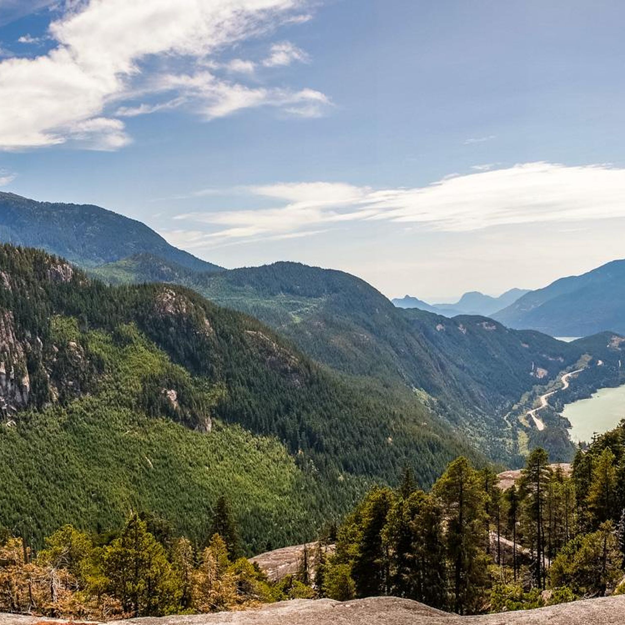
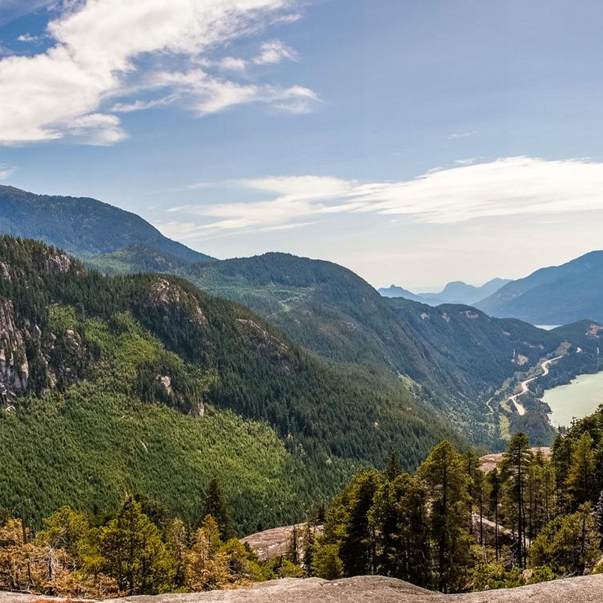
Hiking around Area D (Elaho/Garibaldi)
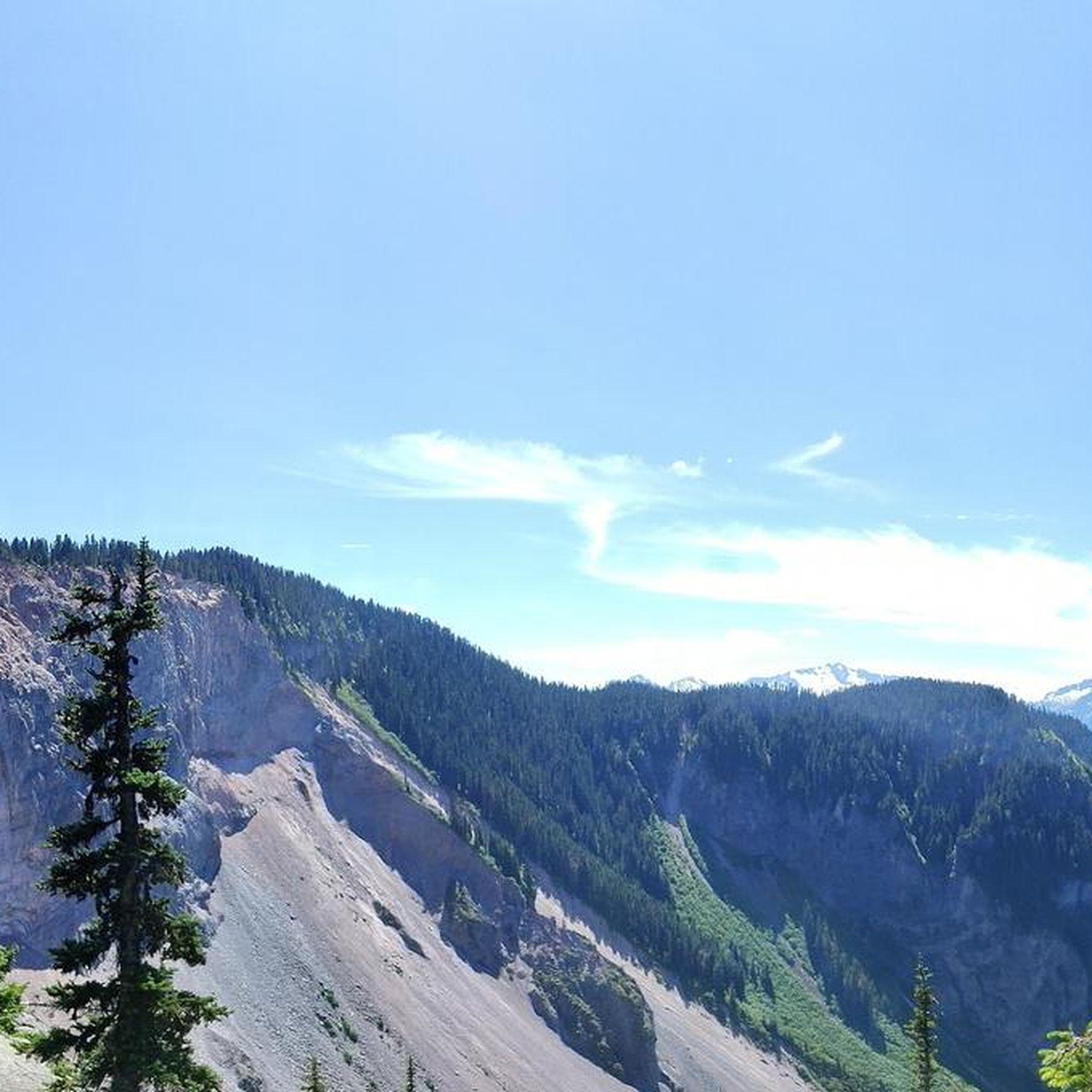
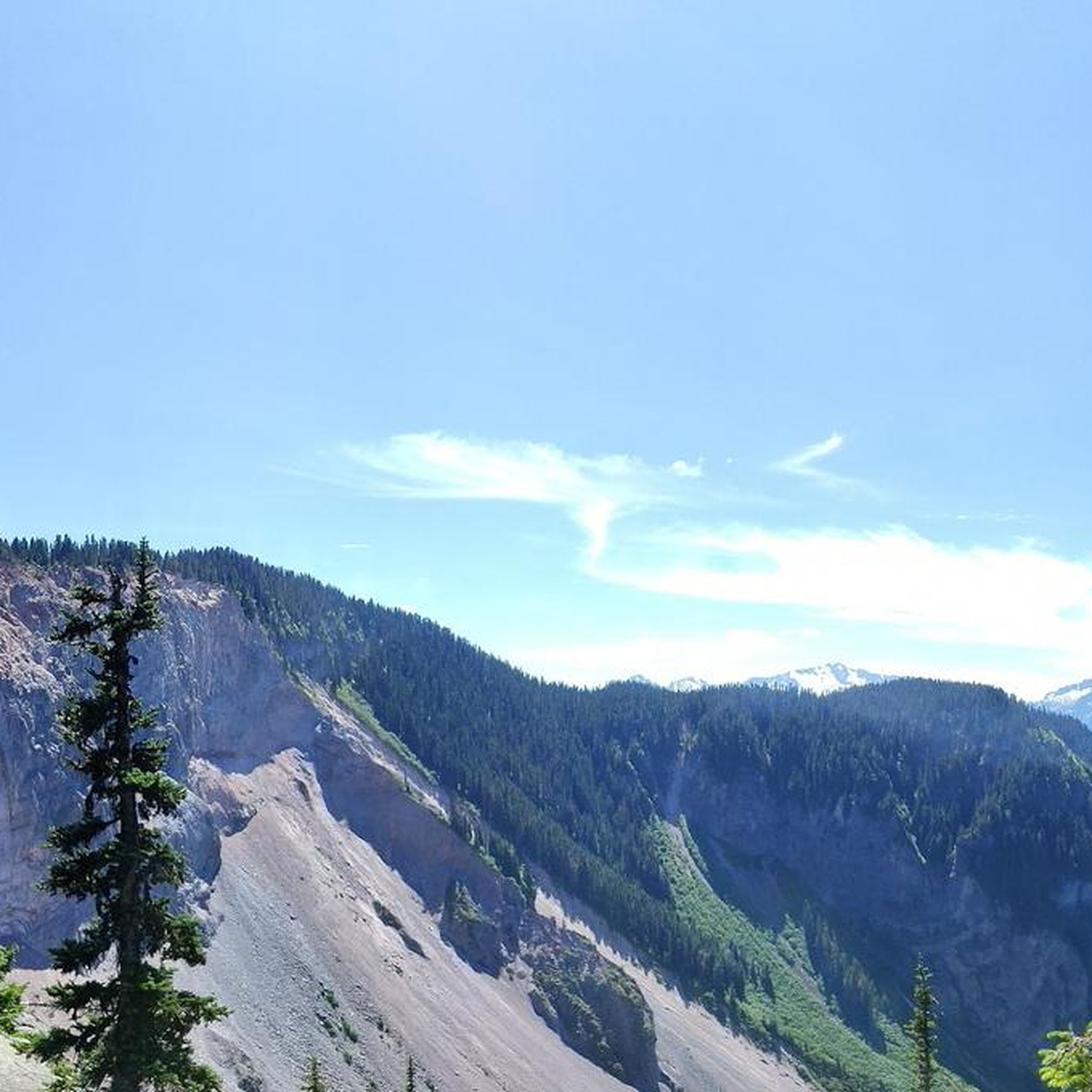
MTB Trails around Area D (Elaho/Garibaldi)
Cycling around Area D (Elaho/Garibaldi)
Road Cycling Routes around Area D (Elaho/Garibaldi)

Gravel biking around Area D (Elaho/Garibaldi)
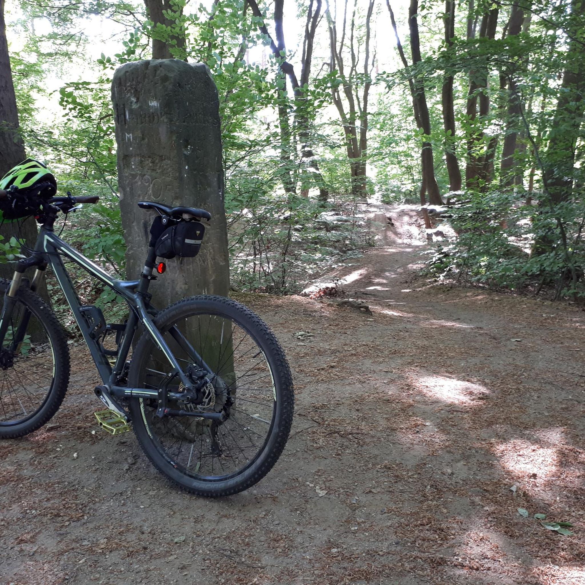
Mountain Hikes around Area D (Elaho/Garibaldi)
Other adventures around Area D (Elaho/Garibaldi)


Tips from the Community

Man Boobs is an downhill MTB trail with thrilling speedy sections and berms. It can be accessed from the Mashiter Trail, a popular multi-use path. Once at the bottom, you can easily combine it with other downhill trails in the area.
0
0

The Squamish River flows from the Coast Mountains to Howe Sound through one of British Columbia’s most scenic valleys. Along its lower reaches, the expansive river is framed by tall mountain peaks and supports a rich salmon habitat that attracts eagles, seals, and other wildlife, including bears. It’s a prime destination for fishing and whitewater rafting, and from this spot, you might see an eagle two flying overhead if you’re lucky.
0
0
Coho Park is beautiful, tucked between the Garibaldi Estates and Garibaldi Highlands neighbourhoods at the northeastern edge of the city. It’s a rare example of an urban temperate rainforest, where the forest floor is filled with ferns, mosses, and small plants, with a canopy of tall conifers that shuts out much of the sky above. The park gets its name from the coho salmon that spawn in Meighan Creek, which flows through the park on its way to the Squamish River, and is a popular spot for hiking, trail running, and mountain biking.
0
0

Alice Lake is the largest and most popular of the four lakes in Alice Lake Provincial Park, just north of Squamish in the Garibaldi Highlands. The lake has warm, calm waters popular for swimming, paddling, and picnicking in the summer months. Explore the lakeside and find a sandy beach, a roped-off swimming area, and plenty of space for stand-up paddleboards and kayaks.
0
0
Stump Lake is one of four main lakes in the park, along with Alice, Edith, and Fawn Lakes, connected by a network of forest trails. Hikers and bikers can visit all the lakes in one go.
0
0
The Cheakye River is a short, powerful glacial-fed river that flows from the Cheakamus River valley to meet the Squamish River. Explore the rocky shores here, just a few meters off of Four Lakes Trail.
0
0
Edith Lake is a small lake tucked within the forested hills of the Garibaldi Highlands, surrounded by towering Douglas-fir and cedar evergreens, with views of the Tantalus Range and Coast Mountains in the background. The trails here are well-marked and easy to follow.
1
0

The Squamish Cenotaph in British Columbia, located at 1361 Main Street, honors locals who served in the First and Second World Wars, with an added plaque for those who fought in Korea. It’s the centerpiece of the town’s Remembrance Day ceremony and a quiet spot year-round to reflect on the community’s history and sacrifices.
0
0
Frequently Asked Questions
How many running routes are available in Area D (Elaho/Garibaldi)?
Area D (Elaho/Garibaldi) offers a wide selection of routes for joggers and trail runners. There are over 60 running routes available, ranging from easy paths to challenging mountain trails.
What kind of terrain can I expect on the running trails in this region?
The region is characterized by dramatic Coast Mountains scenery, featuring snow-capped peaks, alpine lakes, and extensive old-growth forests. You can expect a wide array of terrains, from easy, loamy loops and flat gravel paths to technical mountain trails with significant elevation gain, often winding through ancient forests or leading to alpine meadows.
Are there easy running routes suitable for beginners or casual joggers?
Yes, there are options for all skill levels. While many routes are moderate to difficult, there is at least one easy running route available. Examples of easier, peaceful loops include the Lost Lake Loop, offering woodland scenery and mountain views, and the Four Lakes Trail mentioned in regional research.
What are some challenging routes for experienced trail runners in Area D (Elaho/Garibaldi)?
For experienced trail runners, Area D (Elaho/Garibaldi) offers several demanding routes. Popular choices include The Barrier loop from Rubble Creek, a difficult 28.6 km route with significant elevation gain. Other challenging options mentioned in regional research include the Elfin Lakes trail, the Black Tusk trail, and the Panorama Ridge Trail.
Are there any circular running routes in the area?
Yes, many routes in Area D (Elaho/Garibaldi) are designed as loops, offering varied scenery without retracing your steps. For example, The Barrier – Garibaldi Lake loop from Rubble Creek is a popular circular path leading to the iconic Garibaldi Lake. Another option is the Cheekye River – Stump Lake loop from Tantalus 40775 block (SB).
What natural features or landmarks can I see along the running routes?
Jogging routes in Area D (Elaho/Garibaldi) offer breathtaking natural features. You can encounter pristine alpine lakes like Garibaldi Lake, dramatic volcanic formations such as Mount Garibaldi and the Black Tusk, and extensive old-growth forests. Many trails also lead to stunning viewpoints, such as the Old Viewpoint of the Coast Mountains or the View of Black Tusk.
What do other runners enjoy most about jogging in Area D (Elaho/Garibaldi)?
The running routes in Area D (Elaho/Garibaldi) are highly rated by the komoot community, with an average score of 4.6 stars. Reviewers often praise the dramatic mountain scenery, pristine alpine lakes, and ancient forests, highlighting the diverse terrain and spectacular views that make jogging a visually rewarding experience.
Are there any family-friendly running trails in the region?
While many trails offer challenging terrain, some routes are more suitable for families. The Lost Lake Loop, for instance, is an easy and peaceful option that provides beautiful woodland scenery and mountain views, making it a good choice for a family outing.
What is the best time of year for trail running in Area D (Elaho/Garibaldi)?
The region offers year-round access, but the best time depends on your preference. In warmer months, alpine meadows come alive with wildflowers, providing stunning scenery. While some areas require chains and 4-wheel drive in winter, many trails remain accessible, offering opportunities for snowshoeing and ski mountaineering, which can be adapted for winter running conditions on suitable paths.
Are there any running routes that offer panoramic views?
Absolutely! Many trails in Area D (Elaho/Garibaldi) are renowned for their spectacular vistas. The Mount Crumpit route offers panoramic views of Howe Sound, the Stawamus Chief, and surrounding peaks. For an epic experience, the Panorama Ridge Trail, though challenging, provides unparalleled views of Garibaldi Lake and Black Tusk.
Can I find routes that lead to lakes or water features?
Yes, the region is famous for its pristine alpine lakes. Routes like The Barrier – Garibaldi Lake loop from Rubble Creek lead directly to the iconic Garibaldi Lake. The Elfin Lakes trail also culminates at two beautiful alpine lakes, offering a refreshing destination during your run.
Most popular routes around Area D (Elaho/Garibaldi)
Most popular attractions around Area D (Elaho/Garibaldi)

Get inspired with the komoot mobile app


Explore more
Browse the best Running Trails & Routes in other regions.
