The best road cycling routes around Area D (Elaho/Garibaldi)
204
riders
8
rides
Road cycling around Area D (Elaho/Garibaldi) offers diverse terrain, characterized by deep valleys, significant rivers like the Squamish and Cheakamus, and views of the Coast Mountains. The region features well-maintained roads, including sections of the Sea-to-Sky Highway, alongside quieter routes through forests and open farmland. Cyclists can experience varied elevation profiles, from gentle valley loops to more challenging climbs, with natural features like Howe Sound and the Tantalus range visible along many routes.
Best road cycling routes around Area D…
Last updated: September 3, 2026
43
riders
36.4km
01:50
590m
590m
Moderate road ride. Good fitness required. Mostly well-paved surfaces and easy to ride.
17
riders
23.5km
01:04
220m
220m
Easy road ride. Great for any fitness level. Mostly well-paved surfaces and easy to ride.

Sign up for free
19
riders
Moderate road ride. Great for any fitness level. Some segments of this route may be unpaved and difficult to ride.
14
riders
Easy road ride. Great for any fitness level. Mostly well-paved surfaces and easy to ride.
7
riders
70.1km
03:47
760m
770m
Moderate road ride. Good fitness required. Some segments of this route may be unpaved and difficult to ride.
Get access to more routes and recommendations from other explorers.
Sign up for free
Already have an account?
Our route recommendations are based on thousands of hikes, rides, and runs completed by other people on komoot.
Start today with a free account
Your next adventure awaits.
Login or Signup
Popular around Area D (Elaho/Garibaldi)

Forests, desert, wilderness - day tours in British Columbia

Breathtaking British Columbia — hikes near Squamish & Whistler

MTB Road Trip Sea-to-Sky – dream trails in British Columbia
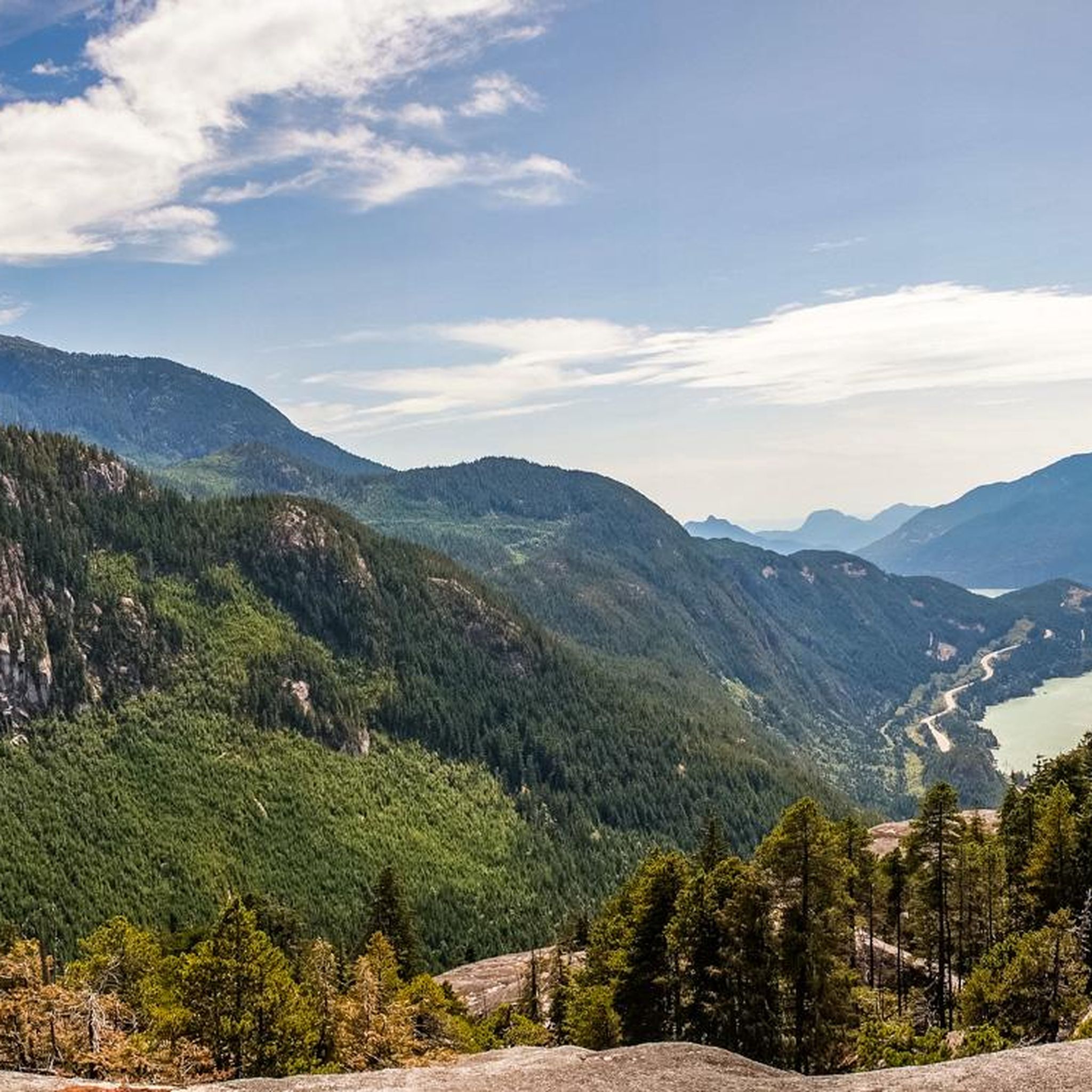
Hiking around Area D (Elaho/Garibaldi)
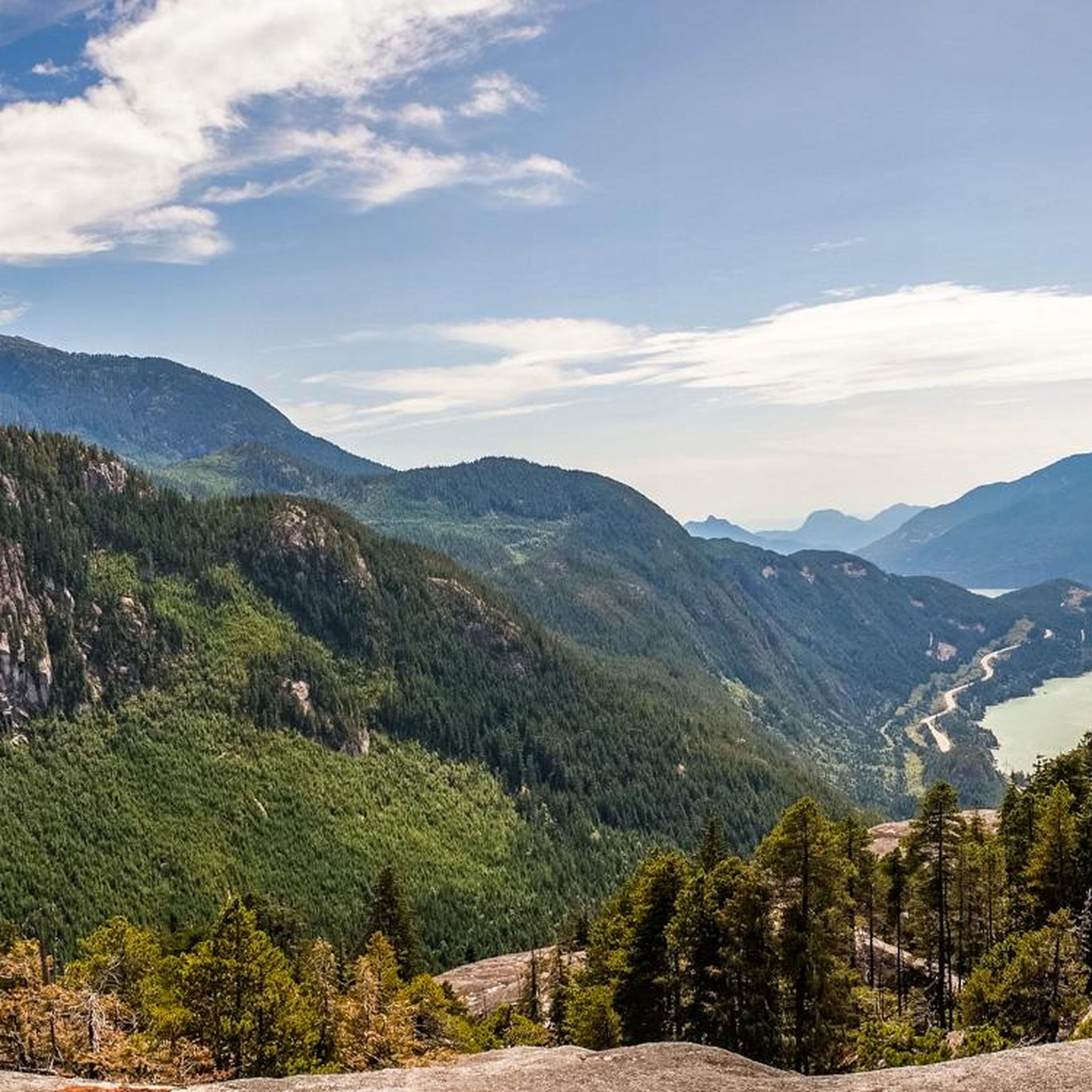
MTB Trails around Area D (Elaho/Garibaldi)
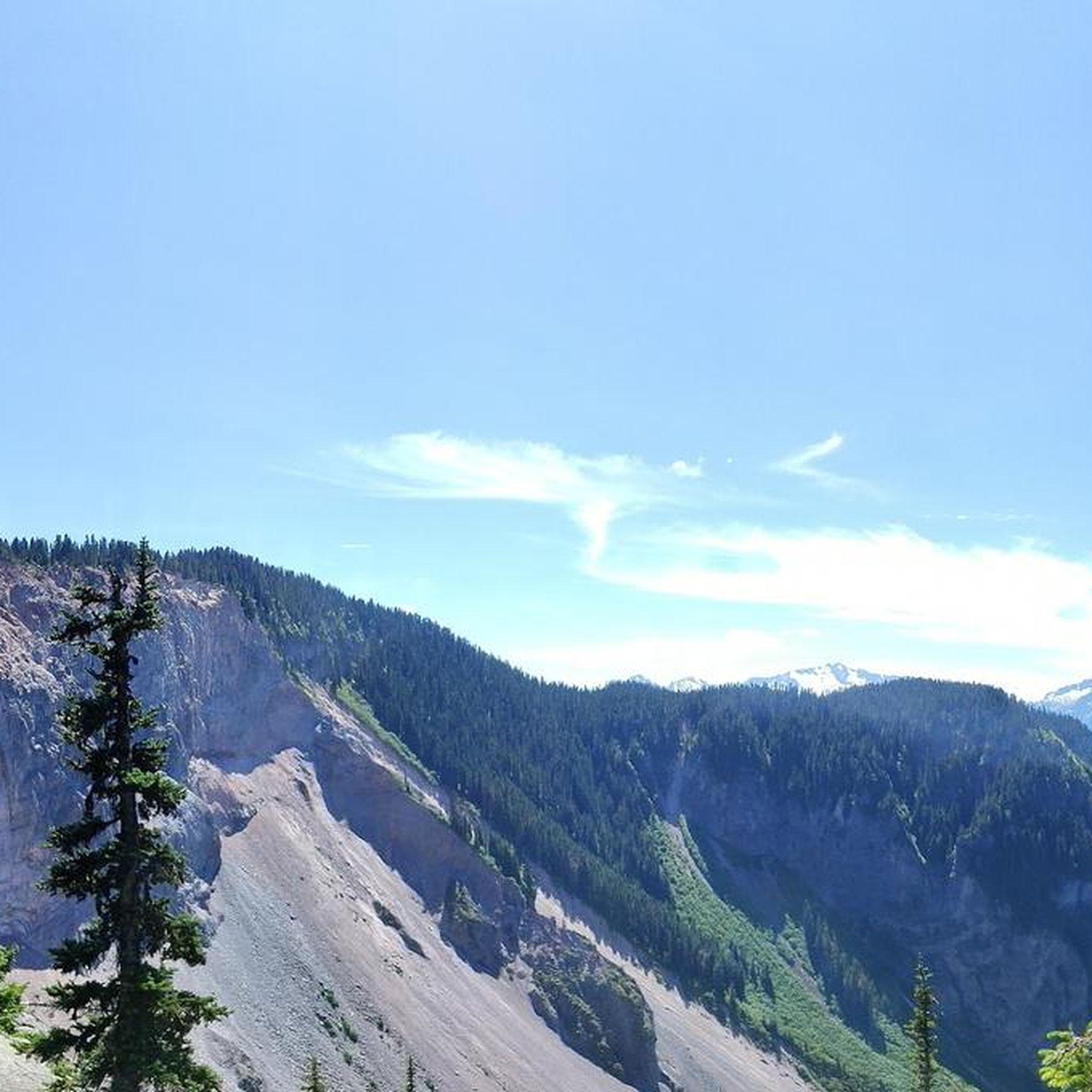
Cycling around Area D (Elaho/Garibaldi)
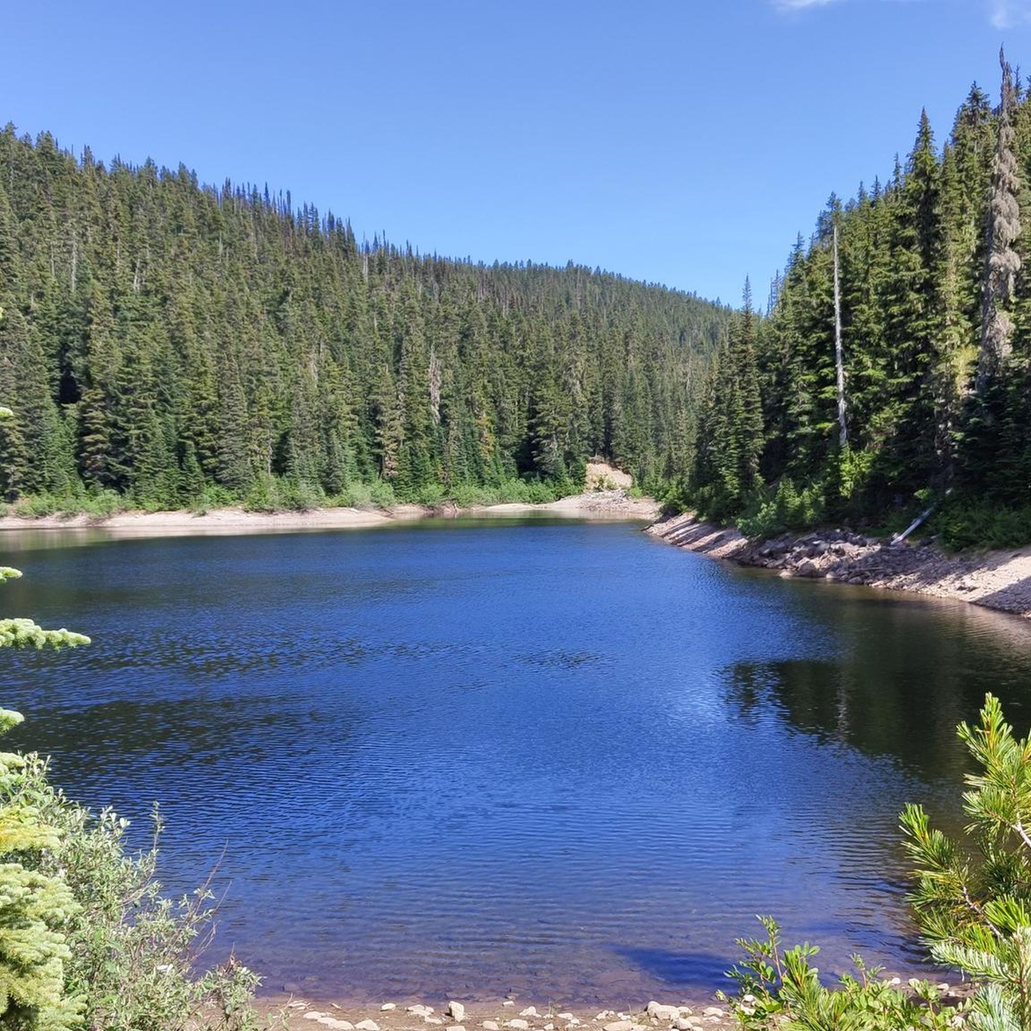
Running Trails around Area D (Elaho/Garibaldi)

Gravel biking around Area D (Elaho/Garibaldi)
Mountain Hikes around Area D (Elaho/Garibaldi)
Other adventures around Area D (Elaho/Garibaldi)


Tips from the Community


Tucked in the forest just outside Whistler Village, Lost Lake is a beautiful, quiet spot surrounded by tall evergreens and mountain views. It’s a popular spot for swimming and paddleboarding in summer, with trails around its perimeter perfect for hiking and biking. In winter, the area transforms into a snowy network of cross-country ski and snowshoe trails, offering a quiet escape just minutes from town.
1
0

Lakeside Park is located on the southeast shore of Alta Lake. During the summer months, the beach is used for swimming. https://www.whistler.ca/parks-recreation-culture/parks/lakeside-park/
2
0
Alta Lake was formed by glacial retreat and subsequent sediment deposition, creating depressions that filled with meltwater. Alta Lake and other nearby lakes, such as Green Lake, are part of a large watershed whose waters flow north to the Lillooet River and south to the Cheakamus River. Historically, water flowed both north and south from Alta Lake, which lies at the top of the pass. This natural dual drainage system of the lake ended with the arrival of settlers. https://fireandicegeoregion.ca/geosite/whistler-valley-lakes-and-watershed-divide/
2
0
Green Lake is the largest lake in the Whistler region. To the north, it is the source of the Green River, which drains into the Lillooet River. Green Lake was formed during the last Ice Age, when sediment was deposited in the U-shaped valley, forming lake basins. The lake's green color is due to the glacial silt of Fitzsimmons Creek. From the wooden boardwalk on the southwest shore, we have a magnificent view of the lake and the seaplane landing. In the background, we can see the peaks of the Garibaldi Range, from Wedge Mountain to Mount Currie, including Mount Weart with the Armchair Glacier. https://www.piquenewsmagazine.com/local-news/naturespeak-awesome-geology-sites-around-whistlergreen-lake-part-2-7576124
2
0
The Village Stroll is a pedestrian-only area that runs through Whistler Village, connecting shops, restaurants, and attractions, including the cable cars that travel up to Whistler Mountain and Blackcomb Peak. The development planning for Whistler Village dates to the 1970s; the implementation and construction of the village took place in the 1980s. Details of the events at that time can be found on the Whistler Museum website: https://whistlermuseum.org/tag/village-stroll/
2
0
Lost Lake was formed when glaciers retreated from the valley, leaving behind a buried block of ice. After the ice melted, a circular depression was created that filled with water, forming a so-called kettle lake. https://fireandicegeoregion.ca/geosite/lost-lake/ https://www.legendswhistler.com/whistler/news/2019/4/11/lost-lake-whistler/
2
0
From the southern vantage point of Brandywine Falls, you have a magnificent view of Daisy Lake Reservoir and Black Tusk Mountain in the Garibaldi Ranges of the Coast Mountains. The Daisy Lake Reservoir was created in 1926 after the construction of the Cheakamus Dam; the dam was replaced in 1984. The reservoir is part of the Cheakamus Hydroelectric Power Plant on the Squamish River. https://www.bchydro.com/energy-in-bc/operations/transmission-reservoir-data/previous-reservoir-elevations/lower-mainland/daisy_lake_dsy.html
0
0
Frequently Asked Questions
How many road cycling routes are available in Area D (Elaho/Garibaldi)?
There are over 10 road cycling routes in Area D (Elaho/Garibaldi) documented on komoot. These routes cater to various skill levels, with 6 easy and 4 moderate options.
What is the terrain like for road cycling in Area D (Elaho/Garibaldi)?
The terrain for road cycling in Area D (Elaho/Garibaldi) is diverse, featuring well-maintained roads, including sections of the iconic Sea-to-Sky Highway, offering breathtaking views of Howe Sound and the Tantalus range. You'll also find quieter routes through moss-draped forests, open farmland, and along significant rivers like the Squamish and Cheakamus. Elevation profiles vary from gentle valley loops to more challenging climbs.
What kind of landmarks and viewpoints can I expect to see along the road cycling routes?
Road cycling routes in Area D (Elaho/Garibaldi) offer numerous scenic landmarks and viewpoints. You can enjoy views of Howe Sound, the Tantalus range, and the majestic peaks surrounding Whistler. Specific natural features include the dramatic Elaho Canyon and various glacier-fed lakes. Notable natural monuments in the wider area include Brandywine Falls and Shannon Falls, as well as the impressive First Peak of the Stawamus Chief.
Are there any challenging road bike climbs in the Elaho Valley area?
While the Elaho Valley is primarily known for its scenic journeys through diverse natural settings, routes in the broader Area D (Elaho/Garibaldi) region do offer challenging climbs. For instance, the Larry's Viewpoint – Alta Lake Park loop from Pinecrest includes significant elevation gain, providing a good challenge for experienced cyclists.
Are there easy or beginner-friendly road cycling routes in the Garibaldi area?
Yes, Area D (Elaho/Garibaldi) offers several easy and beginner-friendly road cycling routes. An excellent option is the Squamish Adventure Cenre loop from Garibaldi Estates, which is an easy 23.3 miles (37.6 km) path providing views of the surrounding valleys and rivers. Another easy route is the Squamish Adventure Cenre loop from Squamish.
What is the best time of year for road biking in Area D (Elaho/Garibaldi)?
The best time for road biking in Area D (Elaho/Garibaldi) is generally during the warmer months, from late spring through early autumn. This period offers the most favorable weather conditions, with less precipitation and comfortable temperatures, allowing for full enjoyment of the region's diverse landscapes and stunning views.
Are there any loop road bike trails in the Elaho Valley or surrounding areas?
Yes, there are several loop road bike trails available. A popular choice is the Squamish Valley Road loop from Sandman Hotel & Suites Squamish, which offers a scenic journey through moss-draped forests and open farmland. Another option is the Fox & Oak Café – Squamish Cenotaph loop from Squamish, a shorter, easy loop.
What do other road cyclists enjoy most about road cycling in Area D (Elaho/Garibaldi)?
The road cycling routes in Area D (Elaho/Garibaldi) are highly rated by the komoot community, with an average score of 4.5 stars. Cyclists often praise the diverse terrain, from scenic valleys and views of Howe Sound to lush forests, and the variety of options available for different ability levels.
Is public transport available to access road biking trails in Area D (Elaho/Garibaldi)?
Public transport options to access specific road biking trails directly can be limited in some more remote parts of Area D (Elaho/Garibaldi). However, Squamish, a central hub in the region, is accessible by bus services, and from there, many routes are within cycling distance or a short local transit connection. It's advisable to check local transit schedules for specific access points.
Are there cafes or pubs near the road bike trails in Area D (Elaho/Garibaldi)?
Yes, especially in and around Squamish and Whistler, you'll find various cafes, pubs, and accommodation options catering to cyclists. Routes like the Fox & Oak Café – Squamish Cenotaph loop from Squamish start and end near amenities, making it convenient for pre- or post-ride refreshments.
Do I need permits for road biking in Garibaldi Provincial Park?
Garibaldi Provincial Park primarily permits cycling on specific trails that are more suited for gravel or mountain biking, such as the Diamond Head trail to Elfin Lakes and the Cheakamus Lake trail. For road cycling on paved roads that may border or pass through park access points, specific permits are generally not required for the road itself, but always check the latest regulations from BC Parks for any changes or specific area restrictions.
Most popular routes around Area D (Elaho/Garibaldi)
Most popular attractions around Area D (Elaho/Garibaldi)

Get inspired with the komoot mobile app


Explore more
Browse the best Road cycling routes in other regions.
