The best running trails around Area C (Arrowsmith-Benson)
4.8
(7)
629
runners
57
runs
Jogging routes around Area C (Arrowsmith-Benson) traverse a diverse landscape characterized by significant natural features. The region includes prominent mountains like Mount Arrowsmith and Mount Benson, offering varied terrain and scenic backdrops. Lush forests, such as those in MacMillan Provincial Park, provide shaded paths among ancient Douglas-fir trees. Water features like Westwood Lake and Witchcraft Lake, along with coastal elements at Neck Point Park, contribute to the area's varied running environments.
Best jogging routes around Area C (Arrowsmith-Benson)
- The most…
Last updated: October 8, 2026
5.0
(1)
142
runners
10.0km
01:04
60m
60m
Hard run. Good fitness required. Sure-footedness, sturdy shoes and alpine experience required.
22
runners
9.33km
01:39
700m
700m
Hard run. Very good fitness required. Mostly paved surfaces. Suitable for all skill levels.

21
runners
18.9km
02:16
260m
260m
Hard run. Very good fitness required. Sure-footedness, sturdy shoes and alpine experience required.
12
runners
20.2km
03:05
920m
920m
Hard run. Very good fitness required. Sure-footedness, sturdy shoes and alpine experience required.
12
runners
22.3km
03:12
990m
990m
Hard run. Very good fitness required. Mostly paved surfaces. Suitable for all skill levels.
Get access to more routes and recommendations from other explorers.
Already have an account?
Our route recommendations are based on thousands of hikes, rides, and runs completed by other people on komoot.
Start today with a free account
Your next adventure awaits.
Tips from the Community

This wooden bridge over McNeil Creek is a pedestrian footbridge that gives a nice view of the main waterways feeding into the Westwood Lake reservoir. Hikers, bikers and runners can safely cross the flowing creek while enjoying the soothing sounds of rushing water under a canopy of mature Douglas firs, bigleaf maples, and vibrant Arbutus trees.
0
0
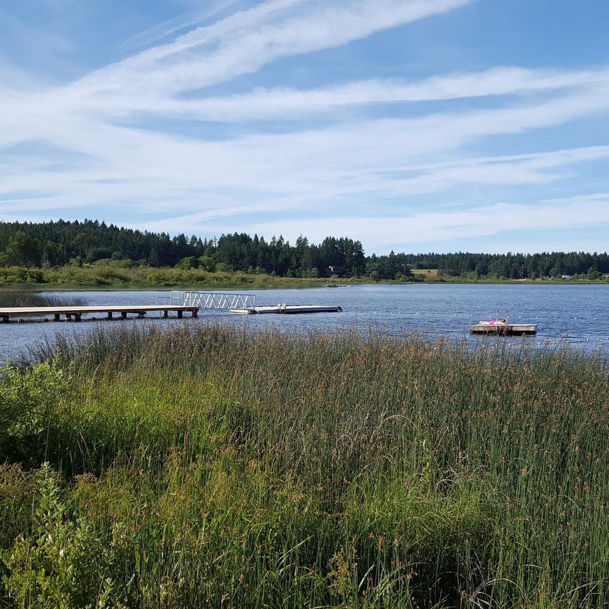
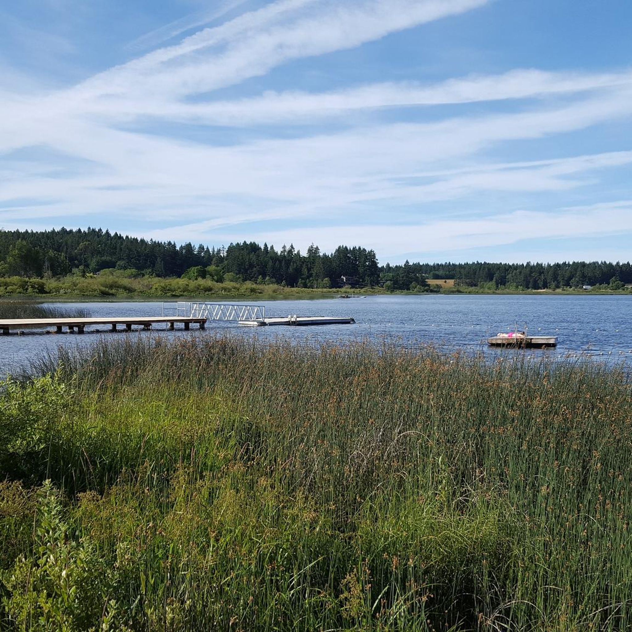
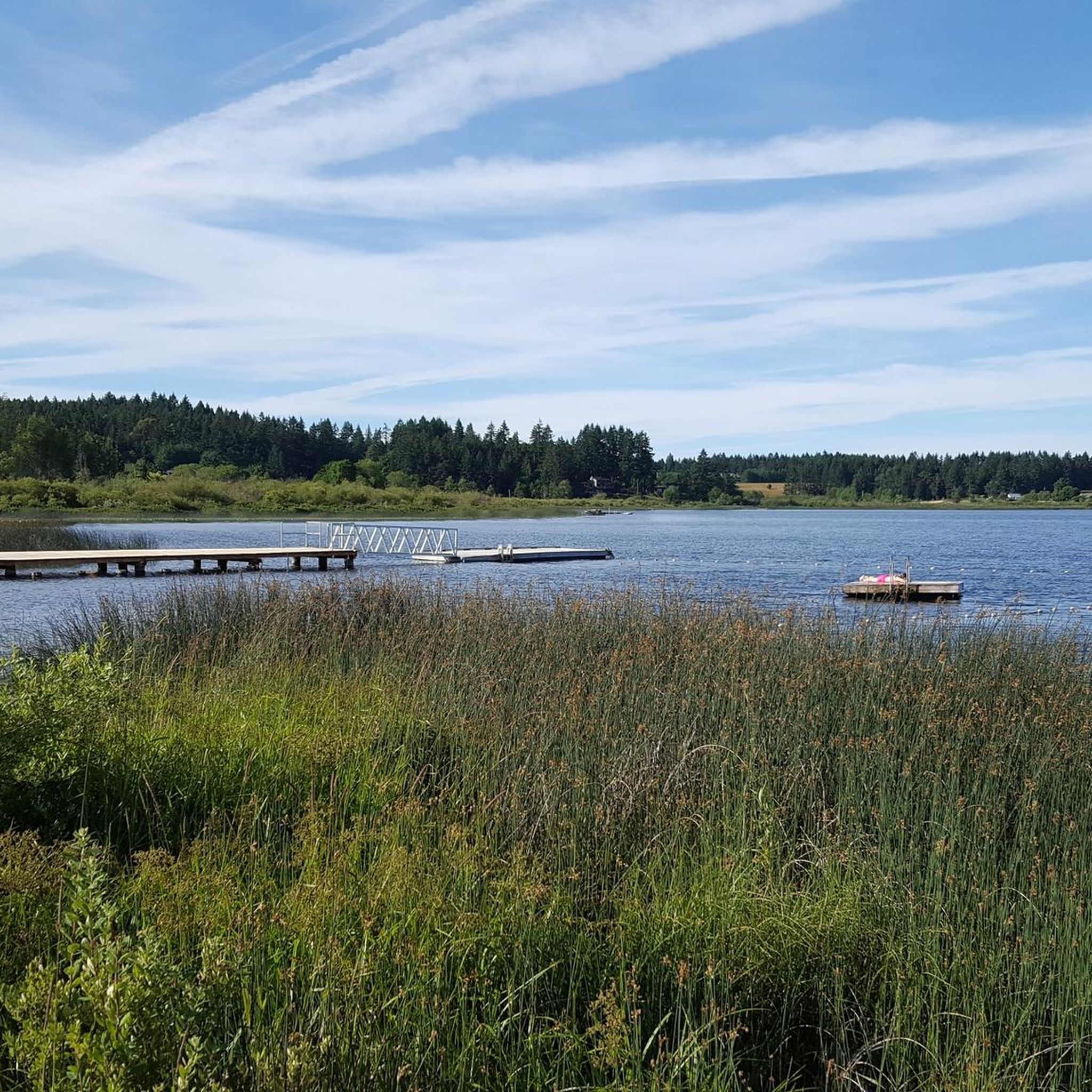
Westwood Lake is a 6-kilometre trail circling the entire freshwater Westwood Lake. This path is wide, well-groomed, and a mostly flat gravel path that is loved by local and visiting walkers, runners, and families. There are nice views of Mount Benson in the background and the water is super clear, often dotted with fallen trees floating in the lake.
0
0

Circumnavigation of Westwood Lake possible on well-maintained and shaded paths and trails. Recommended.
0
0

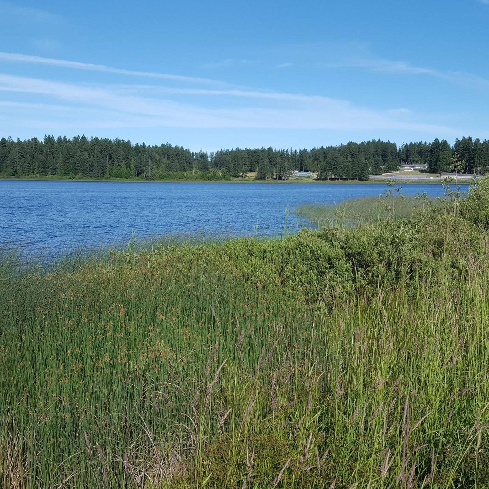
The path leading down to the Morrell Lake viewpoint transitions into well-maintained dirt and gravel tracks that are mostly flat and comfortable for hikers of all skill levels. Because this area is much more secluded, it is a prime spot for photography, or birdwatching without the crowds.
0
0
The park features a mix of dense forest areas and open spaces, meaning your views change as you explore. In the spring, you will see bright new growth, while the fall brings crisp air and beautiful autumn colors.
0
0
Frequently Asked Questions
How many running trails are available in Area C (Arrowsmith-Benson)?
There are over 60 running routes in Area C (Arrowsmith-Benson) for you to explore. These trails offer a diverse range of experiences, from moderate loops to more challenging mountain ascents.
Are there running routes suitable for beginners or families in Area C (Arrowsmith-Benson)?
Yes, the region offers several routes suitable for various fitness levels, including easier options. For instance, the Westwood Lake loop from Seafair is a moderate 7 km path that provides an enjoyable experience without significant elevation, making it a good choice for families or those new to running.
What kind of natural features can I expect to see while jogging in Area C (Arrowsmith-Benson)?
Jogging in Area C (Arrowsmith-Benson) offers a rich variety of natural scenery. You can experience lush forests with ancient Douglas-fir trees, serene lakes like Westwood Lake and Witchcraft Lake, and dramatic mountainous terrain. The region is also home to unique features such as the Hole-in-the-Wall waterfall and coastal elements at Neck Point Park.
Are there any routes that feature waterfalls or significant viewpoints?
Absolutely. The area is known for its beautiful water features. You can find stunning waterfalls like Hole-in-the-Wall and Ammonite Falls. For panoramic views, trails on Mount Benson offer 360-degree vistas of Nanaimo, Mount Arrowsmith, and other peaks, providing rewarding experiences for runners.
What do other runners enjoy most about the trails in Area C (Arrowsmith-Benson)?
The running routes in Area C (Arrowsmith-Benson) are highly rated by the komoot community, with an average score of 5.0 stars. Runners frequently praise the diverse terrain, from enchanting forest paths in places like Cathedral Grove to the scenic lake loops and challenging mountain trails, offering something for every preference.
Are there any circular running routes in the region?
Yes, many of the popular running paths in Area C (Arrowsmith-Benson) are circular, allowing for a continuous and varied experience. Notable examples include the Westwood Lake loop from Westwood and the Beaver Pond – Morrell Lake loop from Vancouver Island University, both offering scenic round trips.
Can I bring my dog on the running trails in Area C (Arrowsmith-Benson)?
Many trails in Area C (Arrowsmith-Benson) are dog-friendly, but it's always best to check specific park regulations or trail signage before heading out. Generally, dogs are welcome on leash in most regional parks and trails, allowing you to enjoy your run with your canine companion.
What are the parking options like for accessing running routes in Area C (Arrowsmith-Benson)?
Access to many running routes in Area C (Arrowsmith-Benson) is generally convenient, with parking available at common trailheads. For example, the Witchcraft Lake loop can be accessed from Mt Benson Parking, and other popular spots often have designated parking areas nearby. It's advisable to check specific route details for the most accurate parking information.
Are there any particularly challenging running routes for experienced runners?
For experienced runners seeking a challenge, Area C (Arrowsmith-Benson) offers routes with significant elevation gain. The Witchcraft Lake loop from Mt Benson Parking, for instance, features over 700 meters of elevation gain, providing a demanding workout with rewarding views. Mount Arrowsmith also contributes to the dramatic mountain scenery and more strenuous trail options.
What is the best time of year to go running in Area C (Arrowsmith-Benson)?
The diverse landscape of Area C (Arrowsmith-Benson) makes it suitable for running throughout much of the year. Spring and fall offer pleasant temperatures and vibrant scenery, while summer provides shaded forest paths. Even in winter, some trails remain accessible, though conditions can vary, especially at higher elevations. Always check local weather and trail conditions before your run.
Are there any long-distance running options in Area C (Arrowsmith-Benson)?
Yes, for those looking for longer runs, Area C (Arrowsmith-Benson) has routes that extend over considerable distances. The Beaver Pond – Morrell Lake loop from Seafair is a challenging 19.7 km path, offering an extended journey through varied terrain for endurance runners.
Most popular routes around Area C (Arrowsmith-Benson)
Most popular attractions around Area C (Arrowsmith-Benson)

Get inspired with the komoot mobile app


Explore more
Browse the best Running Trails & Routes in other regions.
