The best running trails around Victoria
4.8
(41)
2,122
runners
148
runs
Jogging around Victoria offers a diverse range of routes, from urban green spaces and riverside paths to scenic coastal trails and forested areas. The region features a mix of flat, accessible paths around lakes and along waterways, alongside more challenging routes with varied elevation through parks and natural reserves. Runners can explore a landscape characterized by its extensive coastline, numerous parks, and a network of shared paths.
Best jogging routes around Victoria
- The most popular jogging route is Inner Harbour,…
Last updated: October 1, 2026
97
runners
7.93km
00:49
40m
40m
Moderate run. Good fitness required. Mostly paved surfaces. Suitable for all skill levels.
73
runners
31.2km
03:17
240m
240m
Hard run. Very good fitness required. Mostly paved surfaces. Suitable for all skill levels.

155
runners
19.9km
02:05
150m
150m
Hard run. Very good fitness required. Mostly paved surfaces. Suitable for all skill levels.
5.0
(1)
134
runners
Moderate run. Good fitness required. Mostly paved surfaces. Suitable for all skill levels.
61
runners
15.5km
01:38
100m
100m
Hard run. Very good fitness required. Mostly paved surfaces. Suitable for all skill levels.
Get access to more routes and recommendations from other explorers.
Already have an account?
Our route recommendations are based on thousands of hikes, rides, and runs completed by other people on komoot.
Start today with a free account
Your next adventure awaits.
Tips from the Community

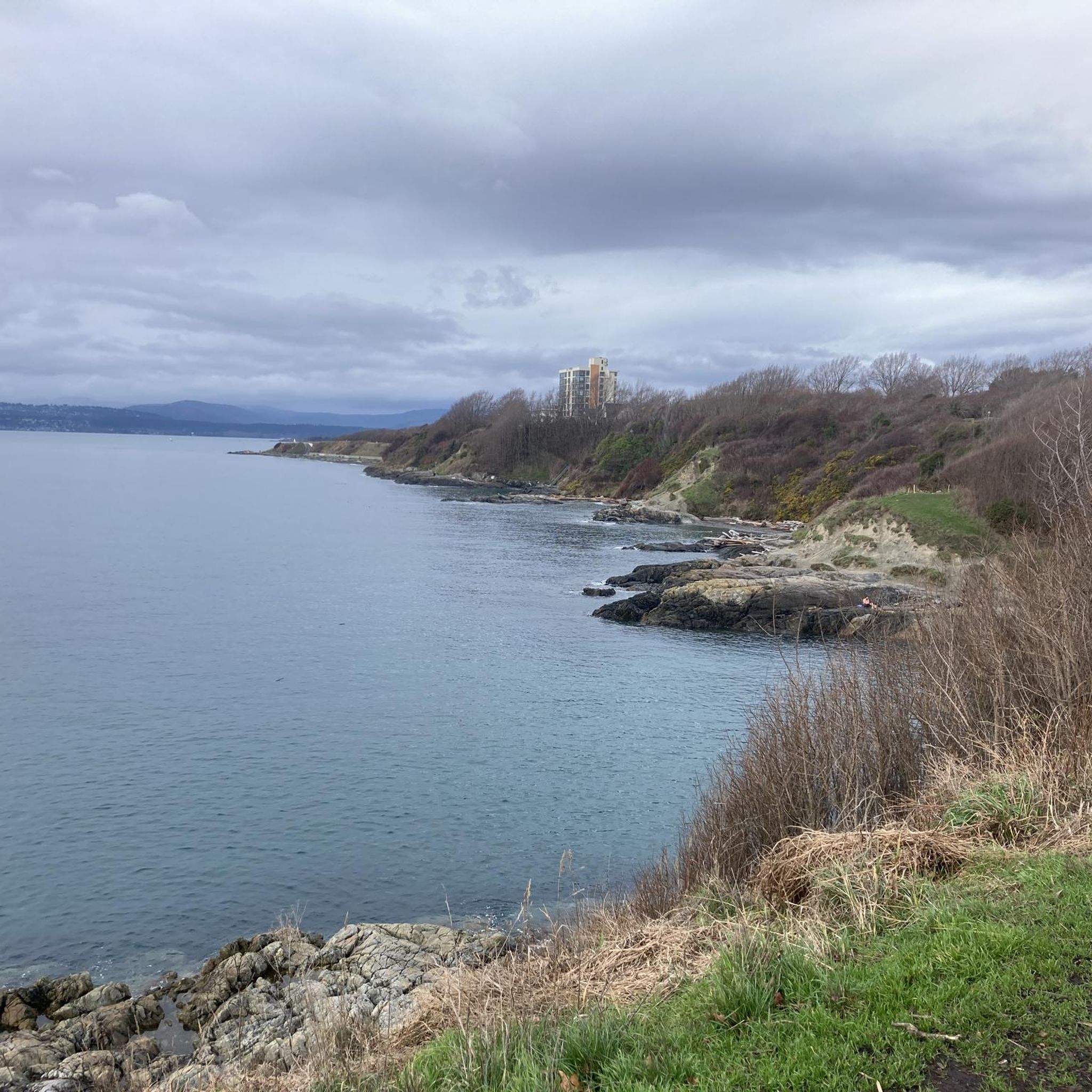
Clover Point sits at the eastern end of Dallas Road in Victoria, overlooking the wide waters of the Strait of Juan de Fuca. The grassy headland offers sweeping ocean views and is a popular place to watch waves crash along the rocky shoreline. On clear days you can see the Olympic Mountains in Washington across the strait. It’s also a well-known spot for kite flying, wind sports, and sunset views along Victoria’s waterfront.
0
0
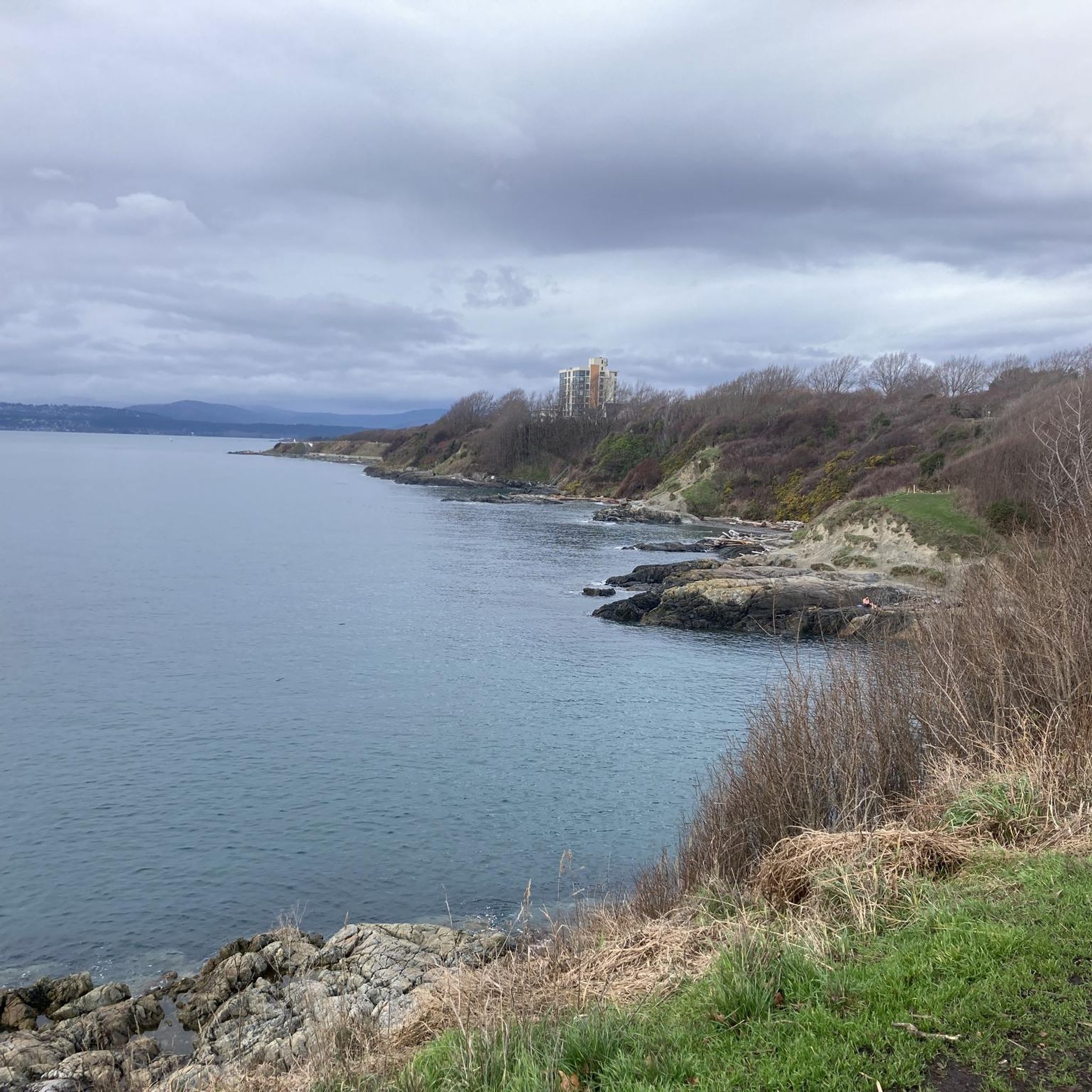
The Marilyn Bell Monument at Clover Point Park honours Canadian long-distance swimmer Marilyn Bell. In 1954, at just sixteen years old, she became the first person to swim across Lake Ontario, completing the nearly 52-kilometre crossing between Youngstown, New York, and Toronto. The monument marks the starting point of a commemorative swim route and celebrates one of Canada’s most remarkable endurance achievements.
0
0
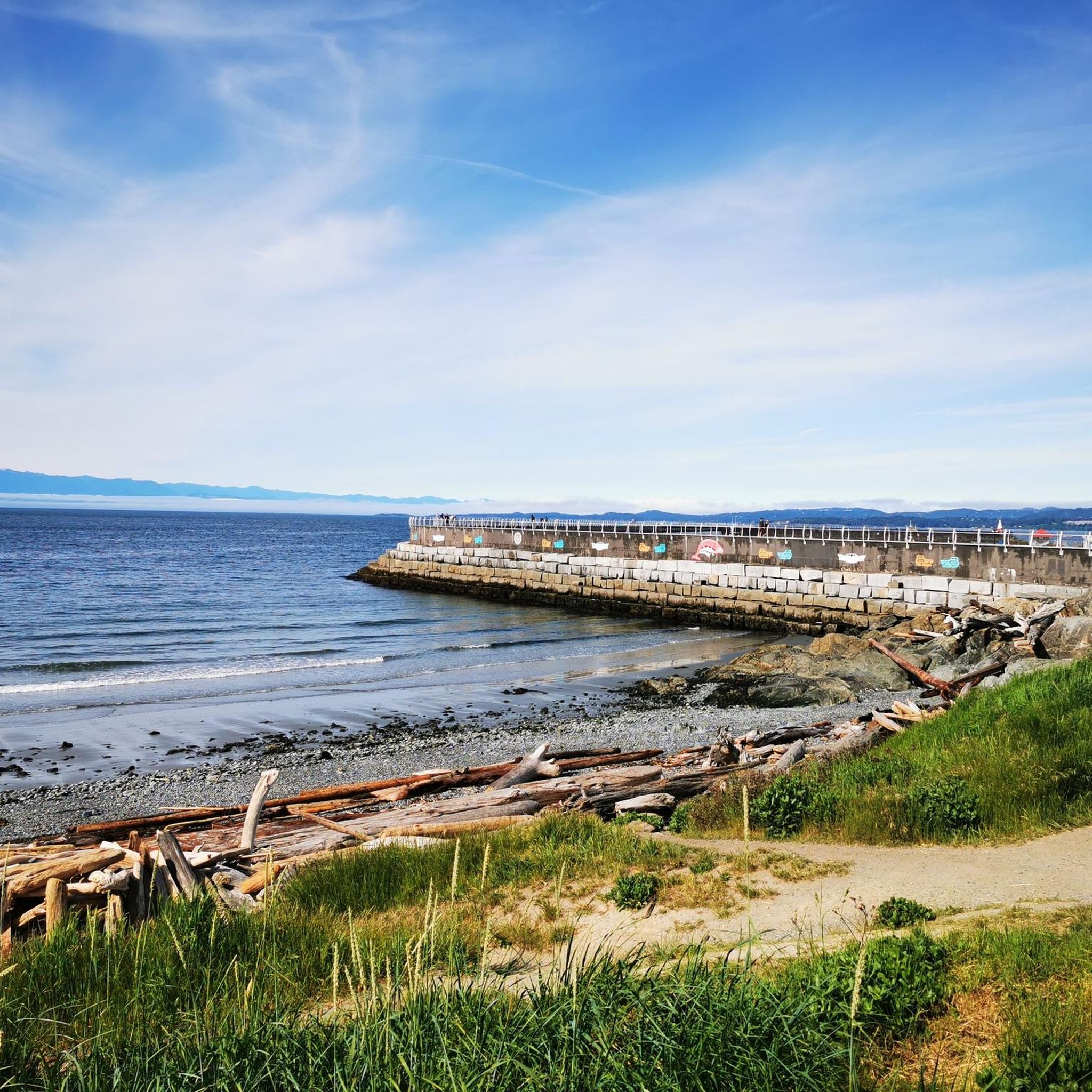
The Ogden Point Lighthouse marks the entrance to Victoria’s Inner Harbour at the end of the Ogden Point Breakwater. The bright red tower has guided ships safely into the harbour since the early 20th century and remains one of the most recognizable landmarks on Victoria’s waterfront. Walking the long breakwater out to the lighthouse offers wide views of the Strait of Juan de Fuca, passing ships, and the Olympic Mountains in Washington on clear days.
1
0

The hotel Fairmont Express, formerly known as The Empress was designed by Francis Rattenbury and built between 1904 and 1908. He was the architect of several other buildings in Victoria, such as the British Columbia Parliament Buildings and the former Vancouver Court House at Robson Square. https://en.wikipedia.org/wiki/The_Empress_(hotel)
2
1
Victoria's Inner Harbour stretches from the narrows between Laurel Point and Songhees Point to Johnson Street Bridge. This is where the ferry terminal for connections to Port Angeles in Washington State is located, as well as the marina in front of the Fairmont Empress Hotel and docks for smaller ships and boats. Regular seaplane flights to Vancouver and Seattle depart from Victoria Inner Harbour Airport. https://en.wikipedia.org/wiki/Victoria_Harbour_(British_Columbia)#Inner_Harbour
2
0


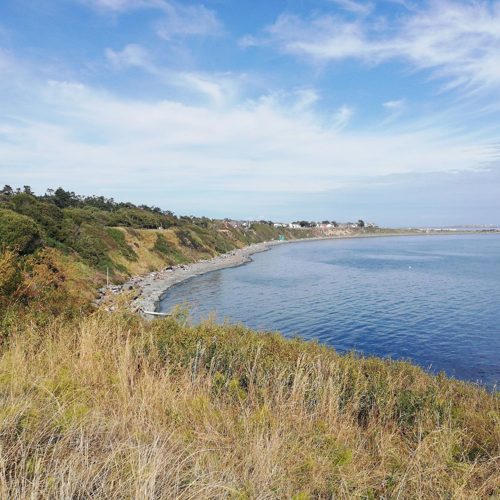
Wonderful view all the way to Washington - OK, only in clear weather and it's not that far. Apparently you can see whales from here too, but I didn't see any.
2
0

Today, it is a popular tourist destination and vibrant community center. Although it remains a port for fishing boats, it has also evolved to include a variety of restaurants, shops and colorful houseboats that attract locals and tourists alike.
2
0
Frequently Asked Questions
How many running routes are available in Victoria?
Victoria offers a wide selection of running routes, with over 150 trails available on komoot. These routes cater to various preferences, from easy urban loops to more challenging long-distance runs through diverse landscapes.
What do other runners enjoy most about the trails in Victoria?
The running routes in Victoria are highly regarded by the komoot community, boasting an average rating of 4.6 stars from over 17 reviews. Runners frequently praise the varied terrain, from scenic coastal paths to urban green spaces, and the opportunity to explore the region's natural beauty.
Are there running routes suitable for beginners in Victoria?
Yes, Victoria has several running routes perfect for beginners. You'll find approximately 10 easy routes that offer gentle terrain and shorter distances, ideal for those starting their running journey or looking for a relaxed jog. Many urban parks and riverside paths provide accessible and flat options.
What kind of landscapes can I expect when running in Victoria?
Victoria's diverse geography offers a wide array of running landscapes. You can experience urban green spaces and riverside paths in Melbourne, stunning coastal trails along the Great Ocean Road, and challenging mountainous terrain in areas like the Grampians or Dandenong Ranges. Expect everything from city skyline views to rugged coastlines and serene forest tracks.
Are there any circular running routes in Victoria?
Yes, many of Victoria's running routes are designed as loops, offering a convenient way to start and finish in the same location. A popular example is the Inner Harbour, Victoria loop from Victoria, which provides scenic views of the city's waterfront. Another option is the Ross Bay loop from Rockland, offering a mix of coastal scenery and residential charm.
Can I find long-distance running paths in Victoria?
Absolutely. For those seeking longer runs, Victoria offers several extensive paths. The Marilyn Bell Monument – Victoria Golf Club loop from Victoria is a challenging 20.9-mile (33.7 km) trail that takes you through coastal areas and urban parks. The Capital City Trail in Melbourne, for instance, is a 27km loop integrating sections of other trails for a comprehensive urban running experience.
Are there running trails with scenic viewpoints in Victoria?
Victoria is rich in scenic viewpoints. Coastal trails like the St Kilda Foreshore or sections of the Great Ocean Road offer stunning ocean vistas. For more elevated views, consider trails in the Grampians National Park, which provide panoramic views over striking sandstone ranges, or Mount Oberon in Wilsons Promontory National Park for 360-degree coastal views.
Are there family-friendly running routes in Victoria?
Many of Victoria's urban parks and lakeside trails are ideal for families. Paths around Albert Park Lake or Princes Park in Melbourne are flat, well-maintained, and offer amenities. The East Sherbrooke Forest Walk in the Dandenong Ranges is another gentle 6.7km loop suitable for a family outing.
What attractions can I see along the jogging routes in Victoria?
Many running routes in Victoria pass by interesting attractions. For instance, the Inner Harbour, Victoria loop from Victoria offers views of the Inner Harbour itself and the British Columbia Parliament Buildings. Other routes might take you past Fisherman's Wharf Houseboats or through areas near Beacon Hill Park Pond.
Are there any running routes that pass by lakes or water features?
Yes, Victoria has numerous running routes that feature lakes and rivers. The Yarra Trails follow the Yarra River, leading to spots like Dights Falls. You can also find trails around Elk/Beaver Lake Regional Park or Thetis Lake Shore, offering serene waterside running experiences.
Are there any advanced or challenging running routes in Victoria?
For experienced runners seeking a challenge, Victoria offers several difficult routes. Approximately 18 routes are rated as difficult, featuring significant elevation changes and rugged terrain. The Craigdarroch Castle loop from Victoria is one such challenging route, covering over 18 km with notable climbs. Mountainous regions like the Grampians or Mount Buffalo National Park also provide demanding trail running options.
Where can I find information on trail running events or groups in Victoria?
While komoot focuses on individual route planning, Parks Victoria actively promotes trail running and provides information on park running trails. You can often find details about local parkruns and other events through their official website: parks.vic.gov.au.
Most popular attractions around Victoria

Get inspired with the komoot mobile app


Explore more
Browse the best Running Trails & Routes in other regions.
