The best cycling routes around Victoria
4.7
(542)
4,254
riders
73
rides
Touring cycling around Victoria offers diverse landscapes, from coastal paths to lush forests and riverine routes. The region features a network of trails, including former rail corridors, providing varied terrain for cyclists. These routes often traverse farmlands, connect charming towns, and offer views of natural bushland and waterways. The area's topography includes gentle grades along rail trails and some routes with moderate elevation changes.
Best touring cycling routes around Victoria
- The most popular touring cycling route is Johnson Street Bridge – Top loop from Victoria, a 19.4 miles (31.2 km) trail that takes 1 hour 52 minutes to complete. This route offers urban and coastal views around the city.
- Another top favourite among local touring cyclists is Galloping Goose Regional Trail – The Nest Café loop from St. Michaels University School, an easy 11.2 miles (18.0 km) path. This trail follows a former railway line, providing a generally flat and accessible ride through suburban and natural areas.
- Local touring cyclists also love the Lochside Regional Trail – Inner Harbour, Victoria loop from Oak Bay, a 43.5 miles (70.0 km) trail leading through coastal areas and the inner harbour, often completed in about 4 hours 19 minutes.
- Touring cycling around Victoria is defined by coastal paths, rail trails, and river routes. The network offers options for different ability levels, from easy, flat rides to more challenging routes with moderate climbs.
- The routes in Victoria are highly rated by the komoot community with an average score of 4.7 stars from over 260 reviews. More than 1900 touring cyclists have used komoot to explore Victoria's varied terrain.
Last updated: October 1, 2026
4.9
(233)
321
riders
31.3km
01:55
220m
220m
Moderate bike ride. Good fitness required. Mostly paved surfaces. Suitable for all skill levels.
4.7
(11)
195
riders
Hard bike ride. Very good fitness required. Mostly paved surfaces. Suitable for all skill levels.

3.7
(3)
94
riders
17.3km
01:02
110m
110m
Easy bike ride. Great for any fitness level. Mostly paved surfaces. Suitable for all skill levels.
5.0
(4)
85
riders
Easy bike ride. Great for any fitness level. Mostly paved surfaces. Suitable for all skill levels.
4.9
(22)
225
riders
36.1km
02:17
170m
170m
Moderate bike ride. Good fitness required. Mostly paved surfaces. Suitable for all skill levels.
Get access to more routes and recommendations from other explorers.
Already have an account?
Our route recommendations are based on thousands of hikes, rides, and runs completed by other people on komoot.
Start today with a free account
Your next adventure awaits.
Tips from the Community


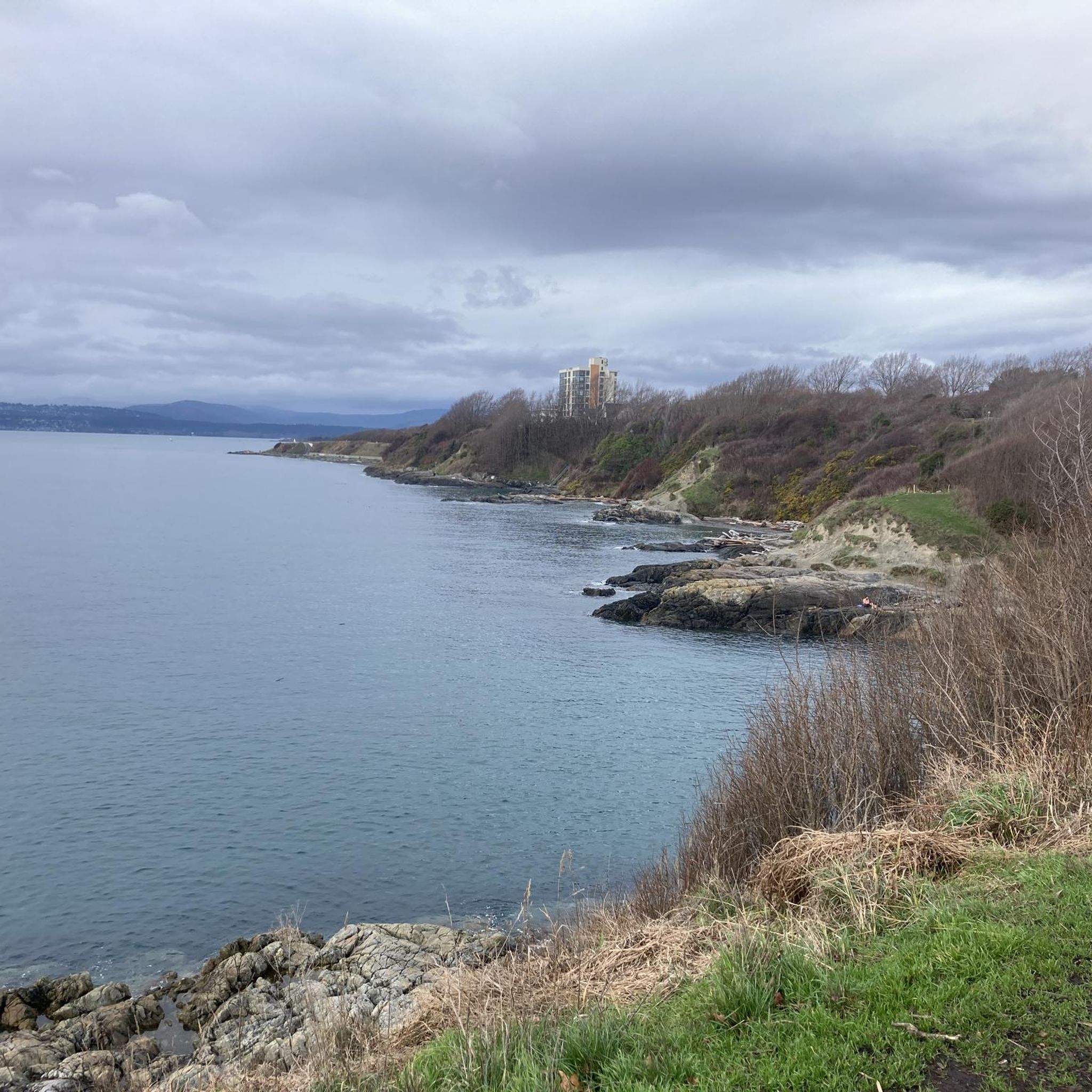
This trail offers stunning ocean views along the way. While the shoreline of Sooke Basin is mostly rocky, its northern edge features stretches of sandy beach.
0
0

The connector parallels the existing rail line as it cuts through town to link up with the Galloping Goose Trail. You can follow this part of the E&N south all the way into downtown Victoria.
0
0
This tiny park has two hour streetside parking and access to the E&N Rail Trail. There aren't any direct views to the water but it's a nice quiet green space.
0
0
The trail dips under a mossy support structure for the bridge above. As elsewhere on the trail, the path is surrounded by trees, so it never feels super urban.
0
0
There is a small gravel lot here with space for about five cars. This is a great spot to hop on the Galloping Goose Trail toward Victoria/Colwood or the E&N Rail Trail toward Langford.
0
0

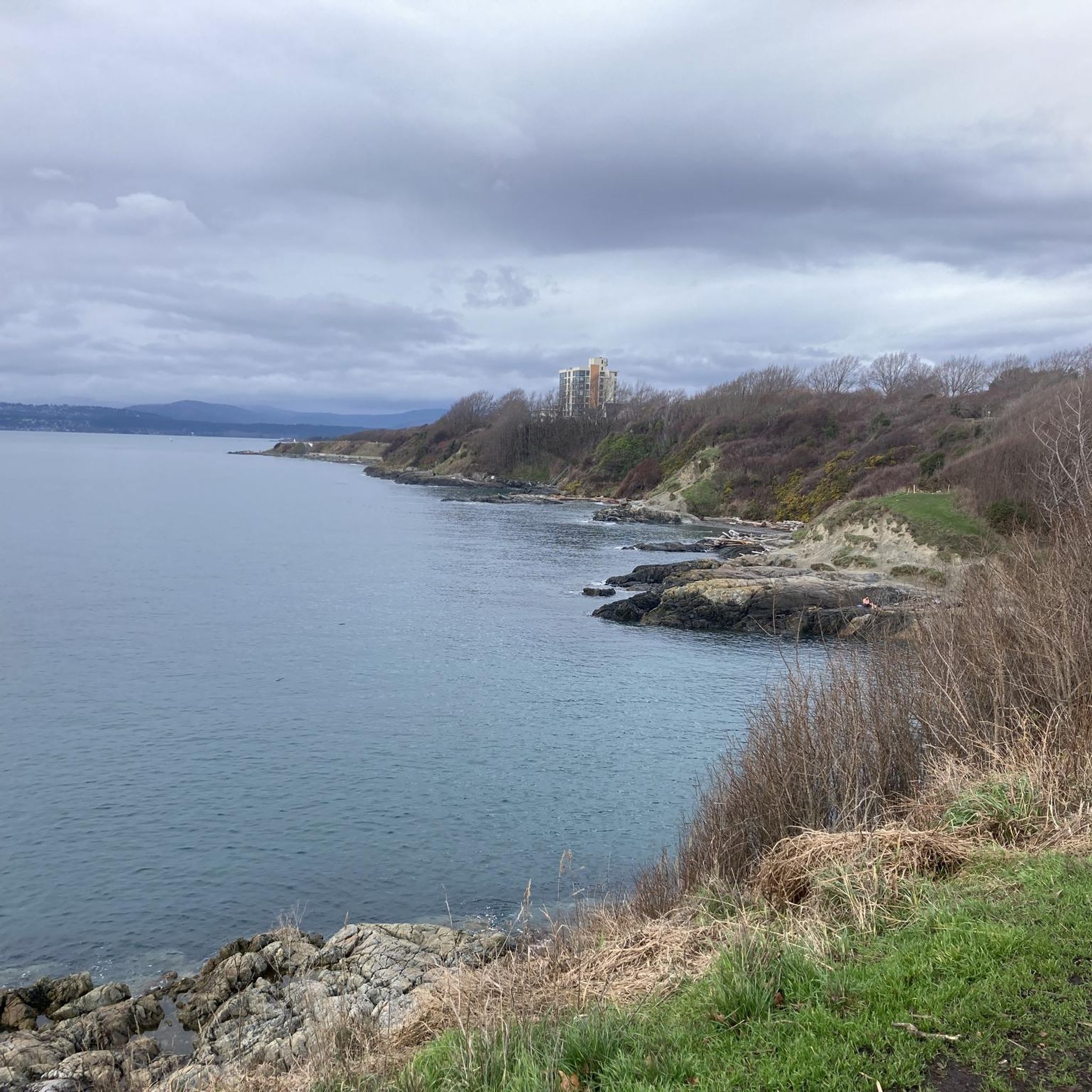
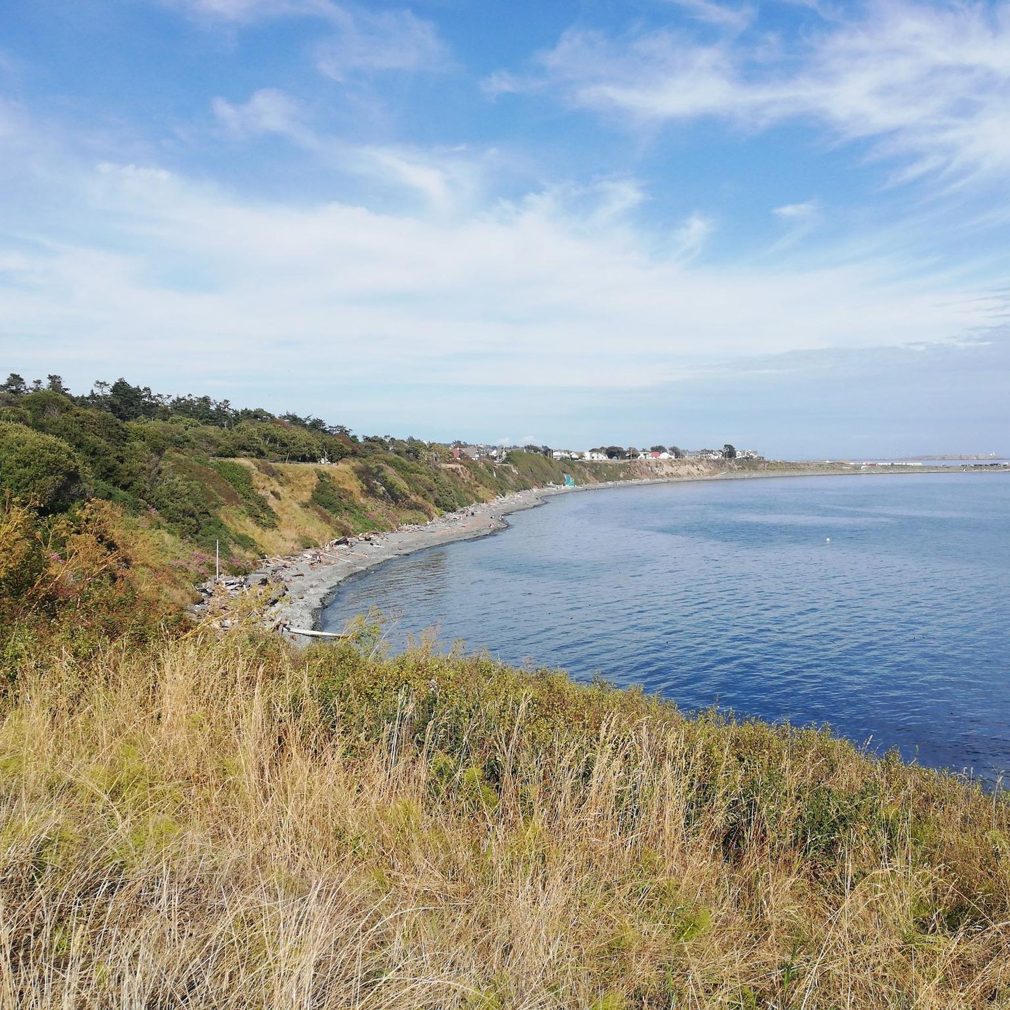
Clover Point sits at the eastern end of Dallas Road in Victoria, overlooking the wide waters of the Strait of Juan de Fuca. The grassy headland offers sweeping ocean views and is a popular place to watch waves crash along the rocky shoreline. On clear days you can see the Olympic Mountains in Washington across the strait. It’s also a well-known spot for kite flying, wind sports, and sunset views along Victoria’s waterfront.
0
0

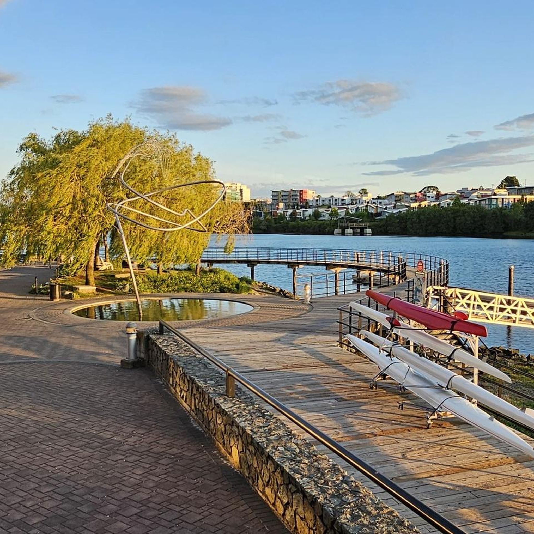
Portage Park is a small waterfront park tucked along the scenic shores of Portage Inlet and is a popular spot to launch a kayak or paddleboard. There’s a small sandy beach, a grassy area for picnics, and a playground, making it a great place for families.
0
0
Frequently Asked Questions
How many touring cycling routes are available in Victoria, and what are their difficulty levels?
Victoria offers a wide range of touring cycling routes, with over 80 options available. These routes cater to various skill levels: approximately 50 are considered easy, around 20 are moderate, and about 10 present a more difficult challenge for experienced cyclists.
What kind of landscapes can I expect to see while touring cycling in Victoria?
Victoria's touring cycling routes showcase incredibly diverse landscapes. You can explore wild coastal scenery along routes like the Great Ocean Road, traverse lush fern gullies and rainforests in regions such as the Otways, or cycle through extensive farmlands and natural bushland, especially on the numerous rail trails. The High Country also offers sweeping alpine views, while many routes follow picturesque rivers.
Are there any family-friendly touring cycling routes in Victoria?
Yes, Victoria is well-suited for family cycling, particularly along its extensive network of rail trails. These trails, such as the Galloping Goose Regional Trail, often follow former railway lines, providing generally flat, accessible, and mostly sealed surfaces. They are ideal for a relaxed pace and offer a safe environment away from traffic, passing through suburban and natural areas.
What are some notable natural attractions or landmarks I can see along touring cycling routes in Victoria?
Victoria's touring routes often pass by significant natural and man-made landmarks. For instance, you can cycle near the stunning Thetis Lake Shore or the expansive Elk/Beaver Lake Regional Park. In urban areas, routes might take you past the historic British Columbia Parliament Buildings, the unique Fisherman's Wharf Houseboats, or through Victoria Chinatown.
What do other touring cyclists enjoy most about cycling in Victoria?
The komoot community highly rates touring cycling in Victoria, with an average score of 4.7 stars from over 260 reviews. Cyclists often praise the region's diverse terrain, which includes coastal paths, well-maintained rail trails, and scenic river routes. Many appreciate the variety of options available, catering to different ability levels, from easy, flat rides to more challenging routes with moderate climbs.
Are there any circular touring cycling routes in Victoria?
Yes, many touring cycling routes in Victoria are designed as loops, offering convenient starting and ending points. For example, the Johnson Street Bridge – Top loop from Victoria provides urban and coastal views, while the Lochside Regional Trail – Inner Harbour, Victoria loop from Oak Bay takes you through coastal areas and the inner harbour. These circular routes make planning easier as you return to your starting location.
What is the best time of year for touring cycling in Victoria?
Victoria offers good cycling conditions for much of the year. The spring and autumn months generally provide pleasant temperatures and beautiful scenery, with autumn foliage in the High Country being particularly stunning. Coastal routes, like those along the Great Ocean Road, are enjoyable outside of peak summer heat, while rail trails are accessible in most seasons due to their generally gentle grades.
Can I find routes that combine urban exploration with natural scenery?
Absolutely. Victoria's touring cycling routes often blend urban exploration with natural beauty. For instance, the Johnson Street Bridge – Inner Harbour, Victoria loop from Chinatown allows you to experience city landmarks and the vibrant Inner Harbour before transitioning to more scenic coastal sections. Many routes around Melbourne also offer a mix of city sights and parklands.
Are there any long-distance touring cycling routes suitable for multi-day trips?
Victoria is home to several excellent long-distance routes ideal for multi-day touring. The Great Victorian Rail Trail, at 134km, is a prime example, winding through idyllic countryside in the foothills of the Victorian Alps. The Murray to Mountains Rail Trail (137km) also offers a multi-day experience, connecting towns and passing through diverse landscapes, renowned wineries, and gourmet produce regions.
What types of surfaces can I expect on touring cycling routes in Victoria?
You'll encounter a variety of surfaces. Many of Victoria's popular rail trails, such as sections of the Murray to Mountains Rail Trail, are sealed, providing a smooth ride suitable for touring and hybrid bikes. Other trails, like parts of the Gippsland Plains Rail Trail, feature good quality gravel. Coastal routes and urban paths often have paved surfaces, while some national park trails might involve more natural, unsealed terrain.
Are there routes that offer views of rivers or lakes?
Yes, many touring cycling routes in Victoria feature beautiful river and lake views. Trails frequently follow rivers like the Ovens River in the High Country or the Maribyrnong River near Melbourne. You can also find routes with views over floodplains, such as those along the Latrobe River. Additionally, routes around Victoria's lakes, like Thetis Lake Shore or Elk/Beaver Lake Regional Park, offer serene waterside cycling experiences.
What is the typical elevation gain on touring cycling routes in Victoria?
The elevation gain varies significantly across Victoria's touring cycling routes. Many rail trails are known for their gentle grades, offering relatively flat rides with minimal elevation changes, making them accessible for all abilities. However, routes in the High Country or those that traverse rolling hills, such as the Goldfields Track, can present more challenging climbs. For example, the Lochside Regional Trail – Inner Harbour, Victoria loop from Oak Bay has an elevation gain of over 400 meters, indicating moderate climbs.
Most popular routes around Victoria
Most popular attractions around Victoria

Get inspired with the komoot mobile app


Explore more
Browse the best Cycling routes in other regions.
