The best cycling routes around Nanaimo
4.4
(21)
226
riders
25
rides
Touring cycling routes around Nanaimo offer a diverse landscape, characterized by coastal areas, lush forests, and serene lakes on Vancouver Island. The region features varied terrain, from paved urban paths to more challenging natural sections, including areas with significant elevation changes. Extensive trail networks provide options for different cycling preferences and abilities. Nanaimo's geography combines waterfront views with forested sections, offering a mix of scenic and immersive cycling experiences.
Best touring cycling routes around Nanaimo
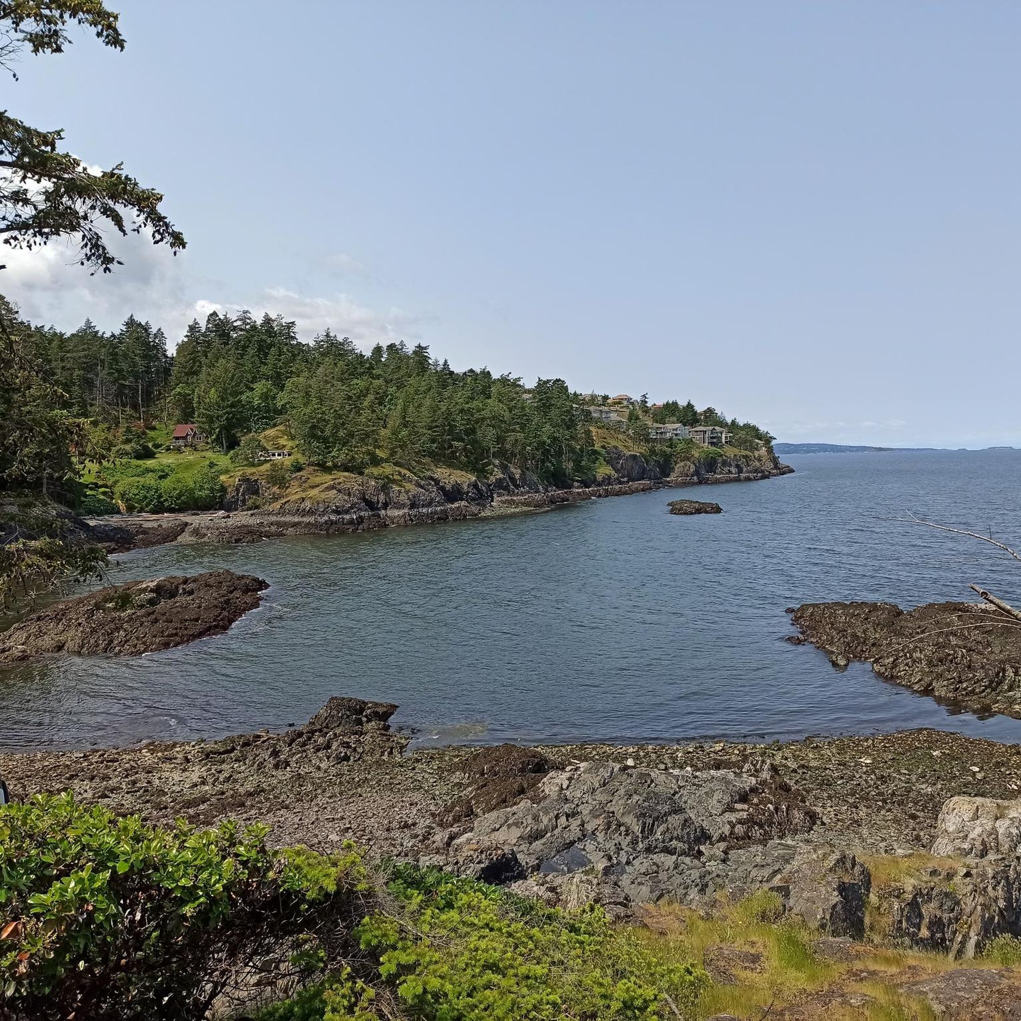
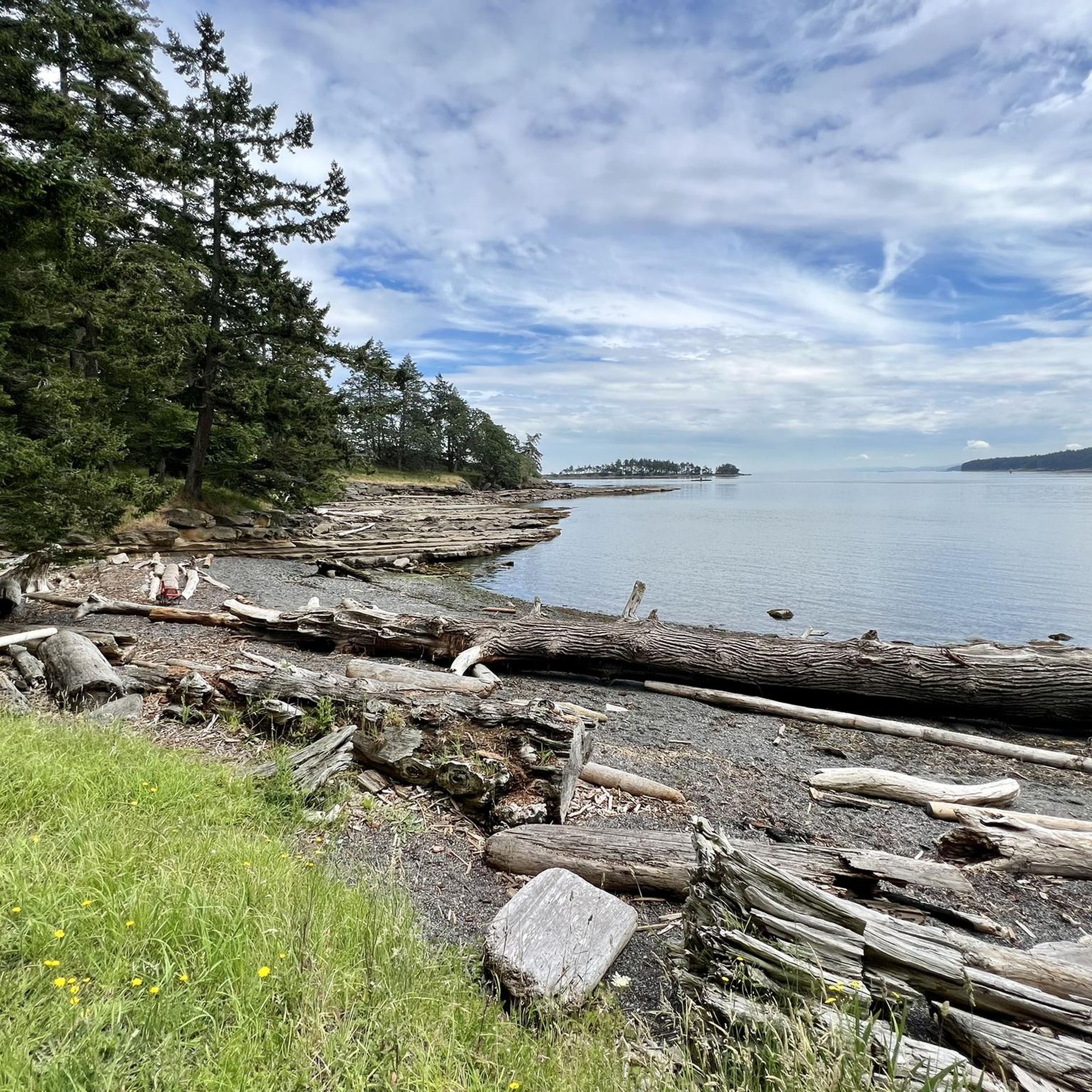
- The most popular touring cycling route is Silva Bay loop from Gabriola Sands Provincial Park, a 28.1 miles (45.2 km) trail that takes around 3 hours 30 minutes to complete. This route features a challenging difficulty grade.
- Another top favourite among local touring cyclists is Northfield Rotary Lookout Park – Lower Lake, Colliery Dam Park loop from Rock Ridge Park, a moderate 19.7 miles (31.7 km) path. This route includes varied terrain around lakes and parks.
- Local touring cyclists also love the Edgewater Pond loop from Northfield, a 11.2 miles (18.0 km) trail leading through local parkland, often completed in about 1 hour 5 minutes.
- Touring cycling around Nanaimo is defined by coastal paths, forested sections, and lakeside routes. The network offers options for different ability levels, from easy paved trails to more challenging routes with elevation gains.
- The routes in Nanaimo are highly rated by the komoot community with an average score of 4.6 stars from over 25 reviews. Nearly 300 touring cyclists have used komoot to explore Nanaimo's varied terrain.
Last updated: November 4, 2026
4.8
(4)
53
riders
45.4km
03:29
510m
510m
Hard bike ride. Very good fitness required. You may need to push your bike for some segments of this route.
4.5
(6)
34
riders
29.3km
01:55
350m
350m
Moderate bike ride. Good fitness required. Mostly paved surfaces.

4.0
(2)
20
riders
17.7km
01:04
110m
110m
Easy bike ride. Mostly paved surfaces.
5.0
(1)
15
riders
31.1km
01:57
280m
280m
Moderate bike ride. Good fitness required. Mostly paved surfaces.
8
riders
49.1km
04:15
810m
810m
Hard bike ride. Very good fitness required. Mostly paved surfaces.
Get access to more routes and recommendations from other explorers.
Already have an account?
Our route recommendations are based on thousands of hikes, rides, and runs completed by other people on komoot.
Start today with a free account
Your next adventure awaits.
Tips from the Community


Located in the heart of the city, Bowen Park is a beautiful family-friendly destination with a lot on offer. You can hike the many trails, visit the Rhododendron grove, swim in the pool (summer only), play disc golf or lawn bowls, plus much, much more. With so much to offer it's no wonder this is a popular place for locals and visitors alike!
0
0

Depending on when you arrive, the falls could be a tranquil shower into the basin below, or they could be cascading from the reservoir in a powerful torrent. Either way, it's a beautiful spot to incorporate into your hike.
0
0

The E&N Trail is a popular multi-use, 8-kilometer trail that runs through Nanaimo between Dunstar Road and Rosehill Avenue. It passes through or near a number of neighbourhoods and parks, making it a great option for recreational outings or as a car free commute path.
0
0
Caledonia Park has football field, public showers, and access to a variety of hiking and biking trails. You can also cross over the Millstone River to access the nearby Bowen Park and it's picturesque waterfalls.
0
0

Northfield Rotary Lookout Park is a small community park in Nanaimo. The park is right off the Parkway Trail and offers public washrooms, as well as a dog park and great views of Mt. Benson.
0
0
Located on the northeast side of Colliery Dam Park, this is the larger of the two lakes. From here, you have lake access for swimming or can just hang out at one of the picnic tables along the side.
0
0
Frequently Asked Questions
What types of landscapes can I expect to see while touring cycling around Nanaimo?
Nanaimo offers a diverse range of landscapes for touring cyclists. You'll find stunning coastal views and waterfront paths, lush forested trails in parks like Bowen Park and Neck Point Park, and serene lakeside routes around areas such as Westwood Lake and Colliery Dam Park. The region blends these natural features with both urban and more challenging natural terrains.
Are there any easy touring cycling routes suitable for beginners in Nanaimo?
Yes, Nanaimo has several easy touring cycling routes perfect for beginners. For example, the Edgewater Pond loop from Northfield is an easy 18.0 km trail through local parkland. The city also features extensive paved trail networks like the 20-kilometer Parkway Trail and the E&N Rail Trail, which are generally flat and well-maintained.
What are some challenging touring cycling routes in the Nanaimo area?
For those seeking a challenge, Nanaimo offers routes with significant elevation gains. The Silva Bay loop from Gabriola Sands Provincial Park is a difficult 45.2 km route with over 500 meters of elevation gain. Another demanding option is the Long Lake – Englishman River loop from Cameron Heights, which spans over 70 km with more than 600 meters of climbing.
Are there any family-friendly touring cycling routes in Nanaimo?
Absolutely. Many of Nanaimo's trails are suitable for families. The 5.5-kilometer loop trail around Westwood Lake is easy and enjoyable for all ages. The paved sections of the Parkway Trail and the E&N Rail Trail also provide safe, multi-use pathways separated from cars, making them ideal for family outings.
Can I find touring cycling routes that are circular (loop trails) in Nanaimo?
Yes, many touring cycling routes in Nanaimo are designed as loops. Examples include the Northfield Rotary Lookout Park – Lower Lake, Colliery Dam Park loop from Rock Ridge Park, which offers varied terrain around lakes and parks, and the Silva Bay loop from Drumbeg Provincial Park.
What natural attractions or landmarks can I see along touring cycling routes in Nanaimo?
Nanaimo's touring cycling routes often pass by beautiful natural attractions. You might encounter the scenic Ammonite Falls, the coastal beauty of Neck Point, or the tranquil waters of Heart Lake. Many routes also offer views of Westwood Lake Beach and the natural landscapes of Saysutshun (Newcastle Island Marine) Provincial Park.
Are there opportunities for cafe stops or amenities along the touring cycling routes?
Yes, especially on routes that pass through urban areas or along the Waterfront Walkway. Nanaimo's commitment to being a bike-friendly community means many routes are connected to areas with cafes, shops, and other amenities where you can refuel and relax. You can also find facilities in parks like Bowen Park.
What is the best time of year for touring cycling in Nanaimo?
Nanaimo offers good touring cycling conditions for much of the year. The spring and fall generally provide pleasant temperatures and beautiful scenery. Summer is also popular, though some routes might be busier. Always check local weather conditions before heading out.
How many touring cycling routes are available in Nanaimo?
There are over 35 touring cycling routes available in Nanaimo, catering to various skill levels. This includes 5 easy routes, 18 moderate routes, and 12 difficult routes, ensuring options for every touring cyclist.
What do other touring cyclists say about the routes in Nanaimo?
The touring cycling routes in Nanaimo are highly regarded by the komoot community, with an average rating of 4.6 stars from over 25 reviews. Cyclists often praise the diverse terrain, from coastal paths to forested sections, and the well-maintained trail networks that make exploring the region enjoyable.
Are there any long-distance touring cycling routes in Nanaimo?
Yes, for those looking for longer rides, Nanaimo offers routes that can extend for several hours. The Long Lake – Englishman River loop from Cameron Heights is a substantial 70.3 km route, typically taking around 4 hours and 25 minutes to complete, offering a significant touring experience.
Is public transport available to access touring cycling trailheads in Nanaimo?
Nanaimo has a public transit system that can help you access various parts of the city. While specific routes to every trailhead may vary, the city's focus on cycling infrastructure means many popular areas are reasonably accessible. It's advisable to check BC Transit's Nanaimo routes for the most current information on bus services and bike rack availability.
Most popular routes around Nanaimo
Most popular attractions around Nanaimo

Get inspired with the komoot mobile app


Explore more
Browse the best Cycling routes in other regions.
