The best road cycling routes around Nanaimo
4.8
(7)
314
riders
21
rides
Road cycling around Nanaimo offers diverse landscapes, from paved urban routes to scenic waterfront paths and challenging rides through natural terrain. The region features an extensive network of trails, including dedicated multi-use pathways and rural roads. Cyclists can explore coastal areas, forested sections, and routes connecting to natural attractions. This blend of environments caters to various skill levels, providing both leisurely rides and more demanding routes.
Best road cycling routes around Nanaimo
- The most popular road cycling route is Roadbike loop from Gabriola Sands Provincial Park, a 26.2 miles (42.2 km) trail that takes 2 hours 13 minutes to complete, offering views of the provincial park.
- Another top favourite among local road cyclists is Roadbike loop from Seafair, a moderate 21.4 miles (34.4 km) path. This route provides a balanced ride through varied local scenery.
- Local road cyclists also love the Rocky Coastal Viewpoint loop from Hammond Bay, a 40.4 miles (65.0 km) trail leading through coastal areas, often completed in about 3 hours 20 minutes.
- Road cycling around Nanaimo is defined by coastal views, forested mountains, and urban pathways. The network offers options for different ability levels, from gentle rides to more challenging routes.
- The routes in Nanaimo are highly rated by the komoot community with an average score of 5.0 stars from more than 5 reviews. More than 350 road cyclists have used komoot to explore Nanaimo's varied terrain.
Last updated: October 8, 2026
5.0
(2)
38
riders
42.2km
02:13
550m
550m
Moderate road ride. Good fitness required. Some segments of this route may be unpaved and difficult to ride.
5.0
(1)
31
riders
34.4km
01:47
430m
430m
Moderate road ride. Good fitness required. Some segments of this route may be unpaved and difficult to ride.

22
riders
65.0km
03:21
810m
810m
Moderate road ride. Good fitness required. Mostly well-paved surfaces and easy to ride.
22
riders
55.4km
02:52
460m
460m
Moderate road ride. Good fitness required. Some segments of this route may be unpaved and difficult to ride.
10
riders
Hard road ride. Very good fitness required. Some segments of this route may be unpaved and difficult to ride.
Get access to more routes and recommendations from other explorers.
Already have an account?
Our route recommendations are based on thousands of hikes, rides, and runs completed by other people on komoot.
Start today with a free account
Your next adventure awaits.
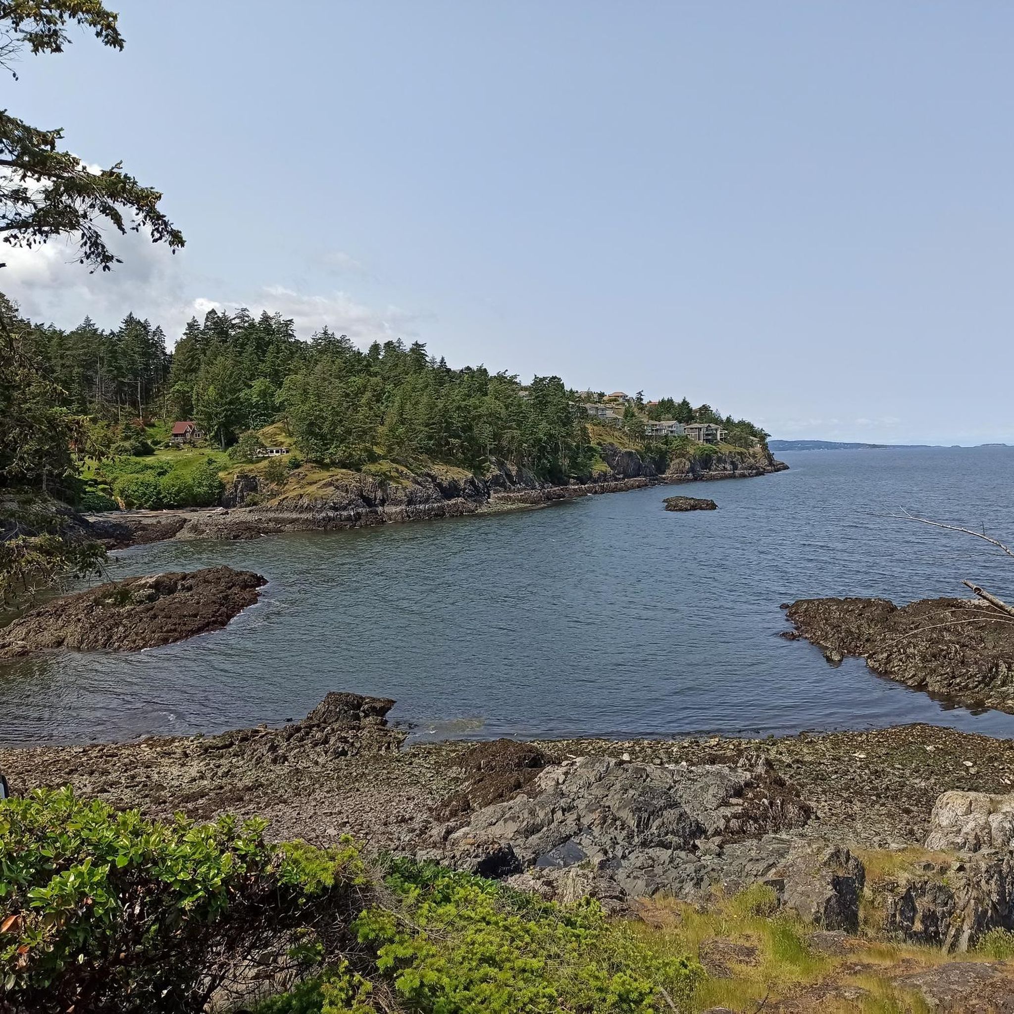
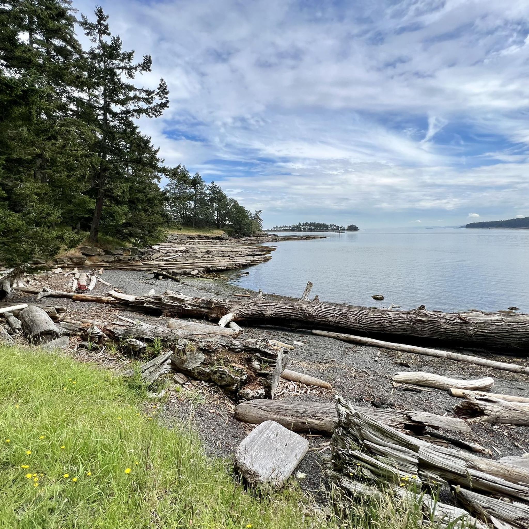
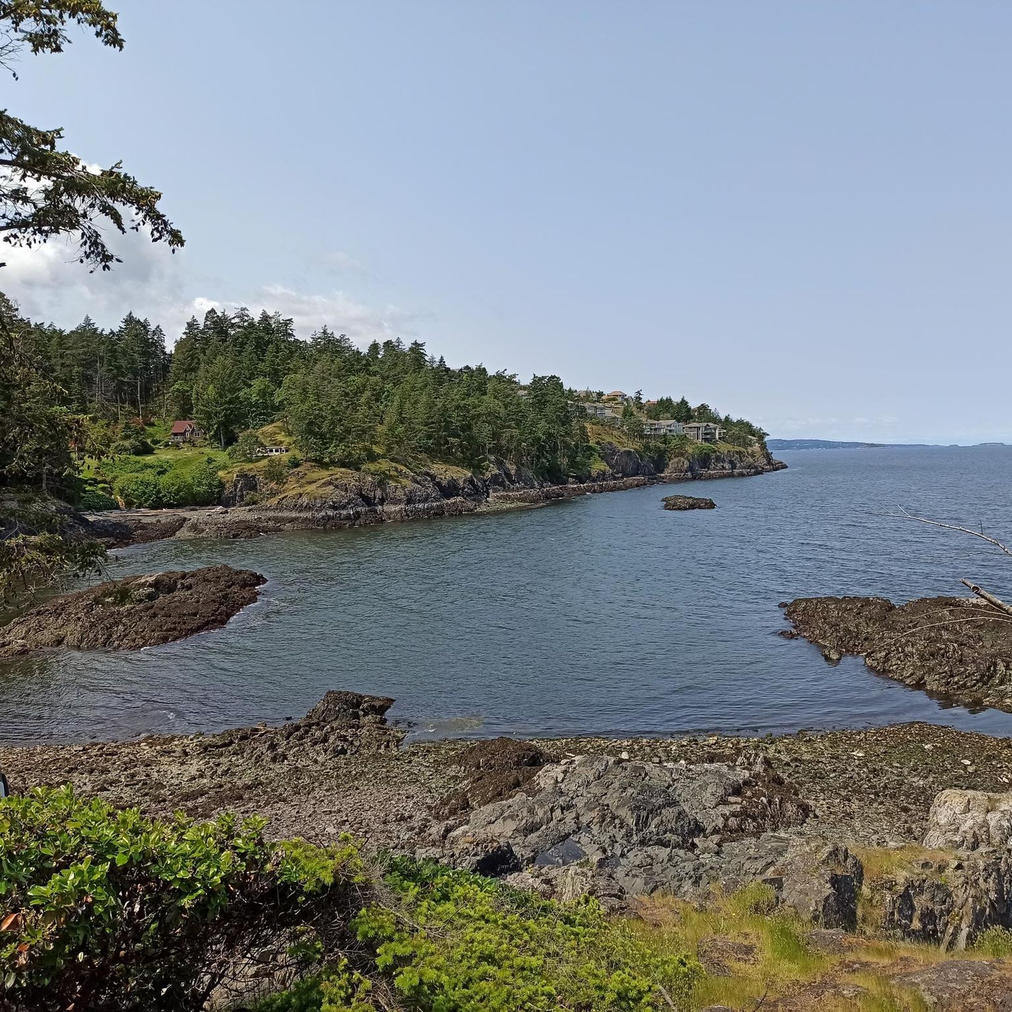
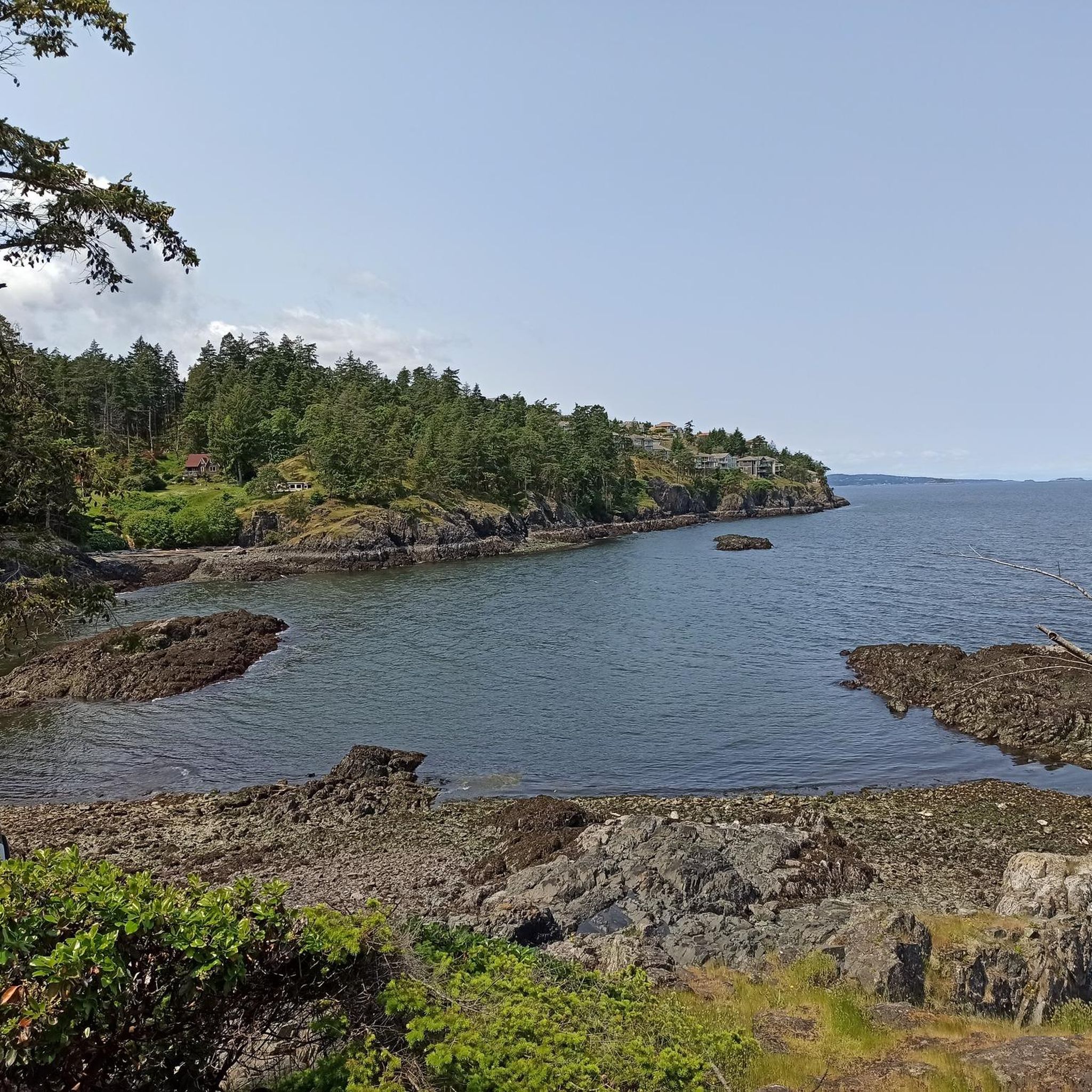
Tips from the Community

This community park has hiking trails, picnic areas, and open fields. There is ample parking, so you shouldn't have any trouble getting out on the trails or set up for a picnic.
0
0
Located in the heart of the city, Bowen Park is a beautiful family-friendly destination with a lot on offer. You can hike the many trails, visit the Rhododendron grove, swim in the pool (summer only), play disc golf or lawn bowls, plus much, much more. With so much to offer it's no wonder this is a popular place for locals and visitors alike!
0
0


Roberts Memorial Provincial Park is made up of scenic shorelines and coastal forests, a beautiful and relaxed slice of Vancouver Island’s natural wonder. It is a great escape from busier tourist destinations with equal beauty. The park got its name from May Vaughan Roberts donating the land in memory of her husband and daughter.
0
0
From here you'll have a nice view of the ferries and other boats making their way in and out of the bay. You can also walk along the shoreline to the ferry dock should you want to get a ride or just a closer look.
0
0

This is one of the main access points to the Holland Creek loop and has roadside parking plus a public washroom at the shelter. From here the trail drops into forest with boardwalks, bridges, and benches along the way. If you want a shorter hike, you can easily do an out-and-back to Crystal Falls from here instead of the full loop.
0
0

Transfer Beach Park is a seaside park in a picturesque harbor on the east coast of Vancouver Island. The park offers swimming, picnicking, Frisbee, beach volleyball, and kayaking. Aside from recreation, the grounds have historical plaques throughout.
0
0
Located on the northeast side of Colliery Dam Park, this is the larger of the two lakes. From here, you have lake access for swimming or can just hang out at one of the picnic tables along the side.
0
0
Frequently Asked Questions
How many road cycling routes are available around Nanaimo?
Nanaimo offers a wide variety of road cycling routes, with over 30 options available on komoot. These routes cater to different skill levels, from easy rides to more challenging excursions.
Are there easy road cycling routes suitable for beginners or families in Nanaimo?
Yes, Nanaimo has several easy road cycling options. The Roadbike loop from Gabriola Sands Provincial Park is a popular choice, offering a moderate ride. For very gentle rides, the Parkway Trail and the Westwood Lake Loop are excellent paved, multi-use paths ideal for all ages and abilities, though they may include unpaved sections.
What are some longer road cycling routes for experienced riders in Nanaimo?
For experienced riders seeking longer distances, the Rocky Coastal Viewpoint loop from Hammond Bay covers 65 km, offering coastal views. Another option is the Rocky Coastal Viewpoint – Ice Cream Stop loop from Dover, which is slightly longer at 67.4 km and includes a scenic stop.
Can I find loop-style road cycling routes in Nanaimo?
Absolutely. Many of Nanaimo's road cycling routes are designed as loops, allowing you to start and end at the same point. Examples include the Roadbike loop from Gabriola Sands Provincial Park and the Roadbike loop from Seafair, both offering circular journeys through varied scenery.
What scenic viewpoints or natural attractions can I see along road cycling routes in Nanaimo?
Nanaimo's routes often feature stunning natural beauty. You can enjoy panoramic ocean views at Neck Point, or explore the picturesque Westwood Lake Beach. The Waterfront Walkway also provides scenic views of the harbor and mountains.
Are there any waterfalls accessible near road cycling routes?
Yes, the stunning Ammonite Falls in Benson Creek Falls Regional Park is a notable natural attraction. While it requires a moderate hike to reach, some cycling routes may pass nearby, offering an opportunity to combine cycling with a short walk to this hidden gem.
What are the best times of year for road cycling in Nanaimo?
Nanaimo offers good cycling conditions for much of the year. Spring and fall provide pleasant temperatures and vibrant scenery, while summer is ideal for enjoying the coastal routes and longer daylight hours. Even winter can be suitable for cycling on milder days, though checking weather conditions is always recommended.
Is it possible to access road cycling routes using public transport in Nanaimo?
Nanaimo's downtown core features dedicated cycle lanes that connect to the E&N Rail Trail and other existing trails, making some routes accessible via public transport connections. Many BC Transit buses are equipped with bike racks, allowing for combined travel. It's advisable to check specific bus routes and their bike-carrying policies.
Where can I find parking near road cycling routes in Nanaimo?
Parking is generally available near popular trailheads and parks in Nanaimo. For example, areas around Westwood Lake, Neck Point Park, and various points along the Parkway Trail and E&N Rail Trail offer parking facilities, making it convenient to start your ride.
What do other cyclists say about road cycling in Nanaimo?
The road cycling routes in Nanaimo are highly rated by the komoot community, with an average score of 5.0 stars from more than 7 reviews. Cyclists often praise the diverse landscapes, from coastal views to forested mountains, and the variety of options catering to different ability levels.
Are there dedicated cycling paths or multi-use trails for road cyclists in Nanaimo?
Yes, Nanaimo boasts excellent dedicated infrastructure. The Parkway Trail and the E&N Rail Trail are paved, multi-use pathways that span the city, providing safe routes separated from vehicular traffic. The Waterfront Walkway also offers a leisurely ride with stunning harbor views.
Are there options for road cyclists looking for a cafe stop along their route?
Many routes in Nanaimo, especially those passing through urban areas or along the Waterfront Walkway, offer opportunities for cafe stops. The city's vibrant downtown and various neighborhoods provide numerous cafes and shops where cyclists can refuel and relax.
What unique natural features can be explored by road bike in the Nanaimo area?
Beyond the scenic coastal views, road cyclists can explore areas that connect to unique natural features. The T – Lower Lake, Colliery Dam Park loop from Townsite, for instance, offers access to the beautiful Colliery Dam Park. The region's blend of forests, lakes like Heart Lake, and coastal formations provides a diverse riding experience.
Most popular routes around Nanaimo
Most popular attractions around Nanaimo

Get inspired with the komoot mobile app


Explore more
Browse the best Road cycling routes in other regions.
