The best cycling routes around Cowichan Valley G
4.6
(23)
259
riders
23
rides
Touring cycling routes around Cowichan Valley G traverse a region characterized by diverse landscapes, including coastal areas, river valleys, and forested hills. The area features numerous trails, such as the multi-use Cowichan Valley Trail, which incorporates historic railway trestles like the Kinsol Trestle. This varied terrain provides options for cyclists of all skill levels, with routes winding through natural features and charming towns.
Best touring cycling routes around Cowichan Valley G
- The most popular touring cycling route is Silva Bay loop from Drumbeg Provincial Park, an 18.2 miles (29.3 km) trail that takes 1 hour 55 minutes to complete, offering a scenic loop experience.
- Another top favourite among local touring cyclists is Cowichan Valley Trail loop from Chemainus, a moderate 14.5 miles (23.3 km) path that follows a section of the extensive Cowichan Valley Trail.
- Local touring cyclists also love the Bike loop from Davis at Russell (SB), a 12.7 miles (20.5 km) trail leading through varied terrain, often completed in about 1 hour 19 minutes.
- Touring cycling around Cowichan Valley G is defined by its diverse landscapes, historic railway trestles, and scenic lakes and rivers. The network offers options for different ability levels, from easy paths to more challenging routes.
- The routes in Cowichan Valley G are highly rated by the komoot community with an average score of 4.5 stars from more than 15 reviews. More than 250 touring cyclists have used komoot to explore Cowichan Valley G's varied terrain.
Last updated: November 4, 2026
4.8
(5)
39
riders
19.2km
01:13
120m
120m
Easy bike ride. Mostly paved surfaces.
4.5
(6)
34
riders
29.3km
01:55
350m
350m
Moderate bike ride. Good fitness required. Mostly paved surfaces.

4.7
(3)
23
riders
27.4km
01:46
260m
260m
Moderate bike ride. Good fitness required. Mostly paved surfaces.
4.8
(4)
27
riders
20.4km
01:19
160m
160m
Moderate bike ride. Good fitness required. Mostly paved surfaces.
11
riders
41.3km
02:44
620m
620m
Hard bike ride. Very good fitness required. Mostly paved surfaces.
Get access to more routes and recommendations from other explorers.
Already have an account?
Our route recommendations are based on thousands of hikes, rides, and runs completed by other people on komoot.
Start today with a free account
Your next adventure awaits.

Tips from the Community


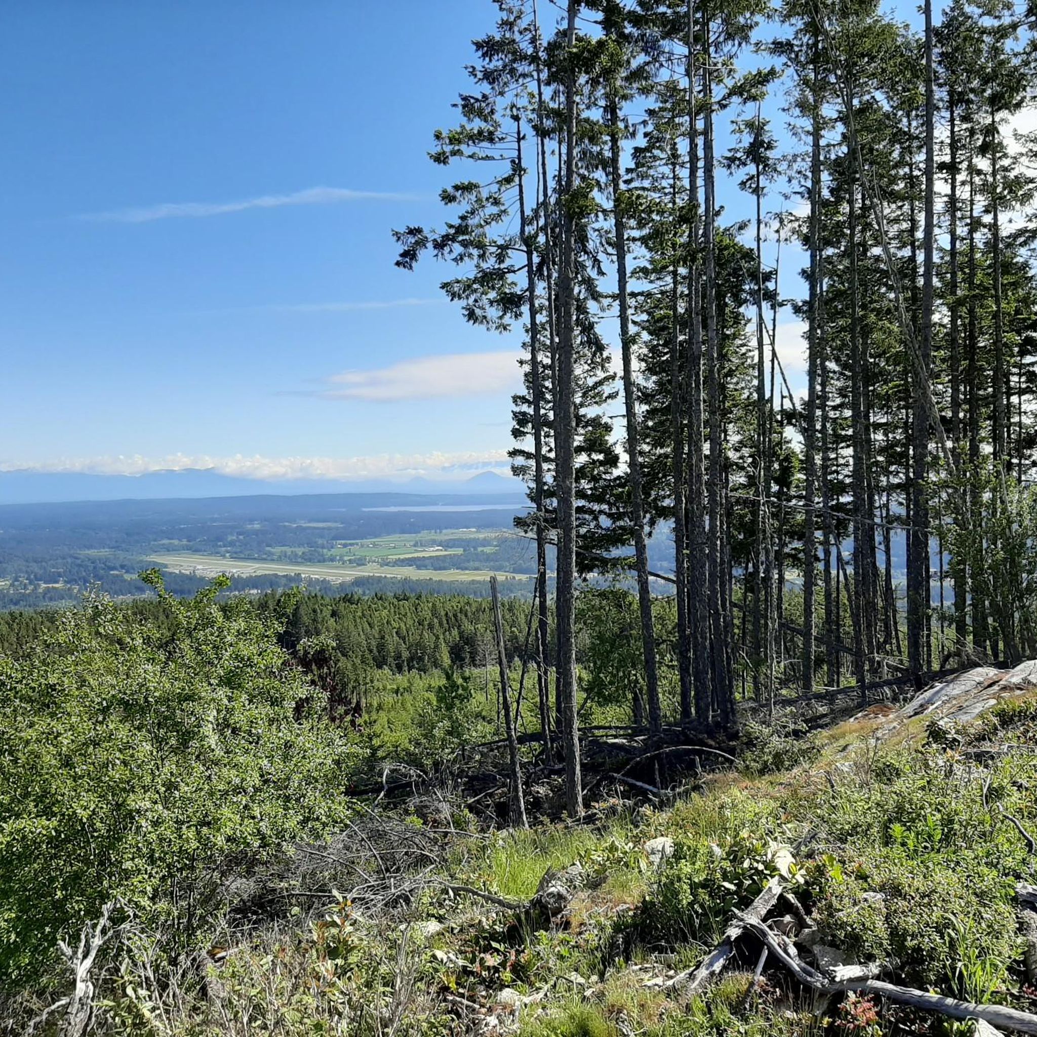
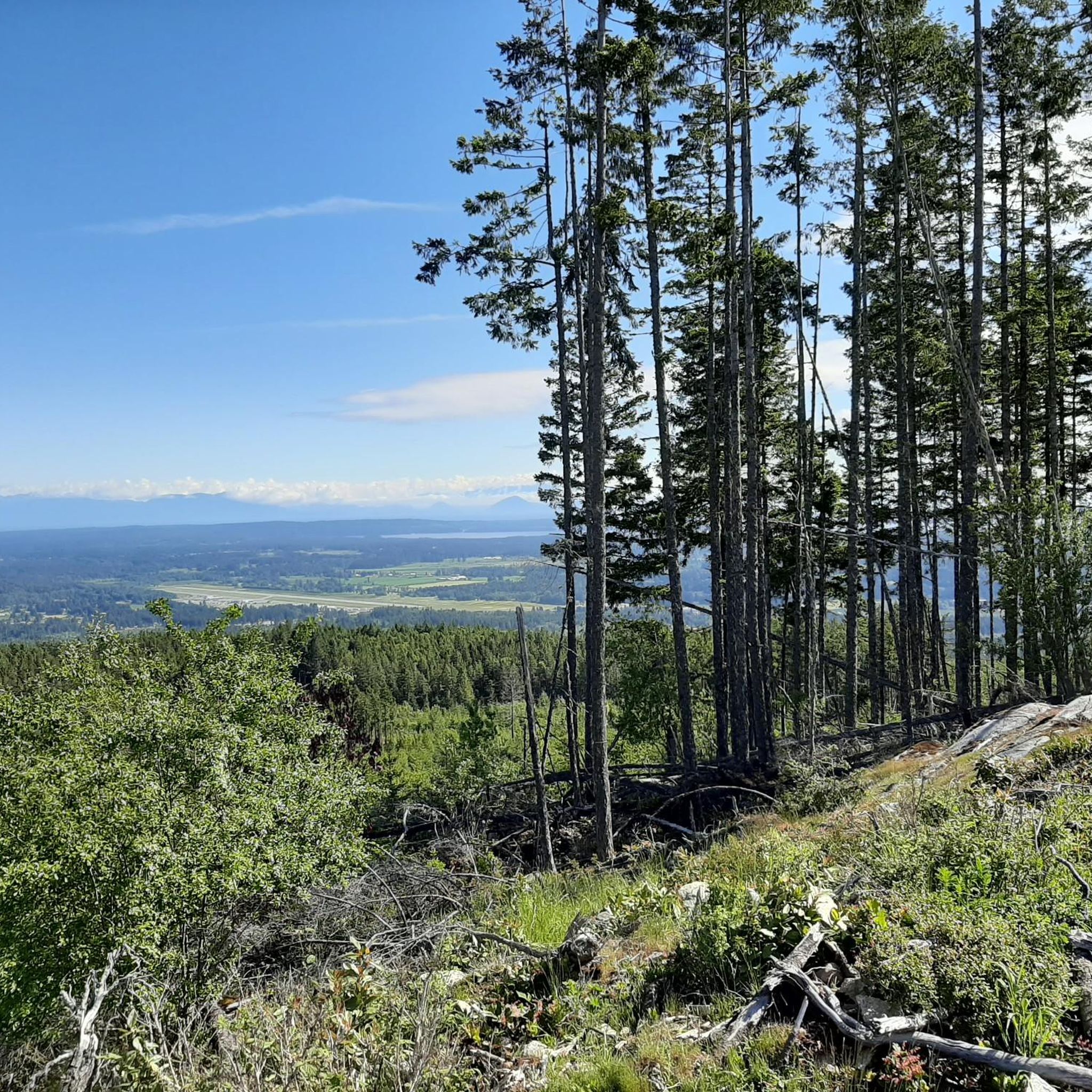
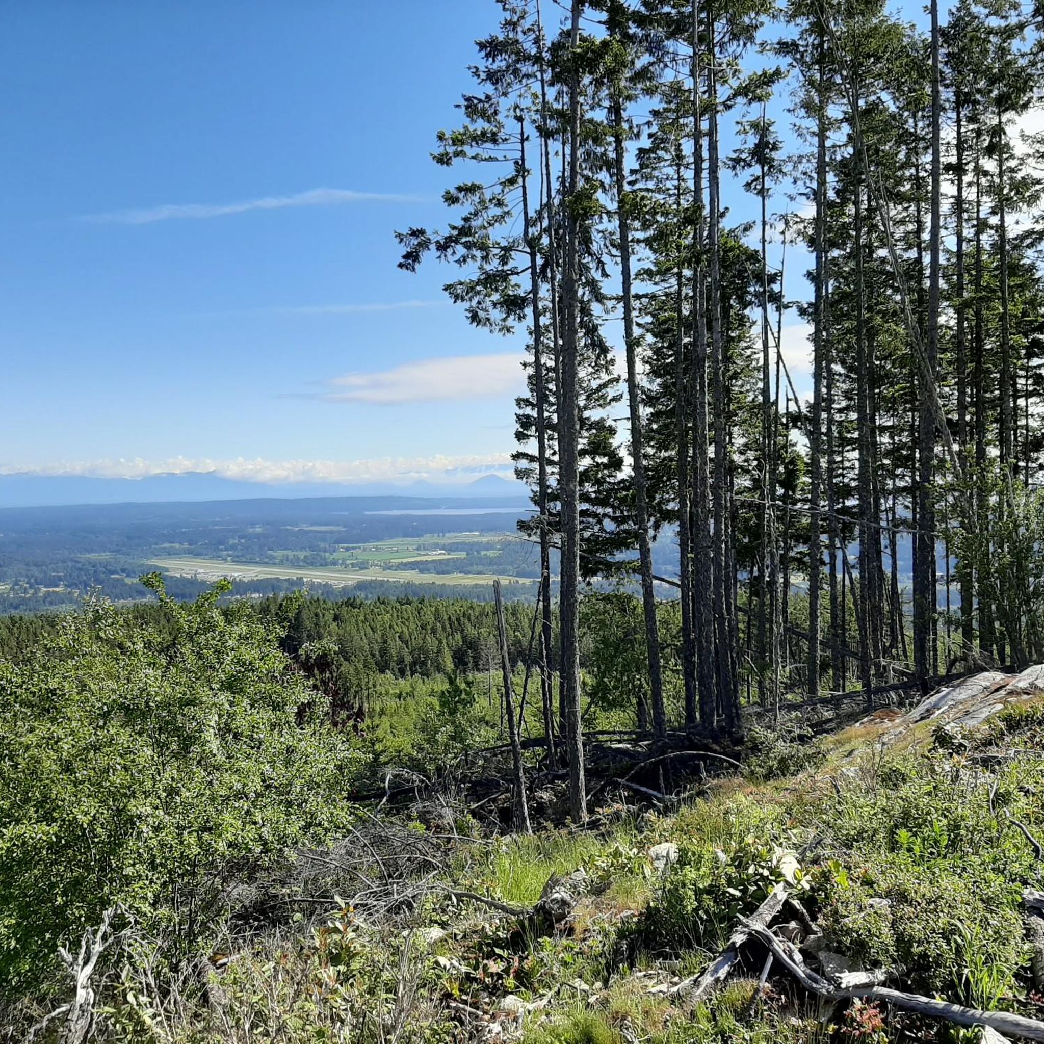
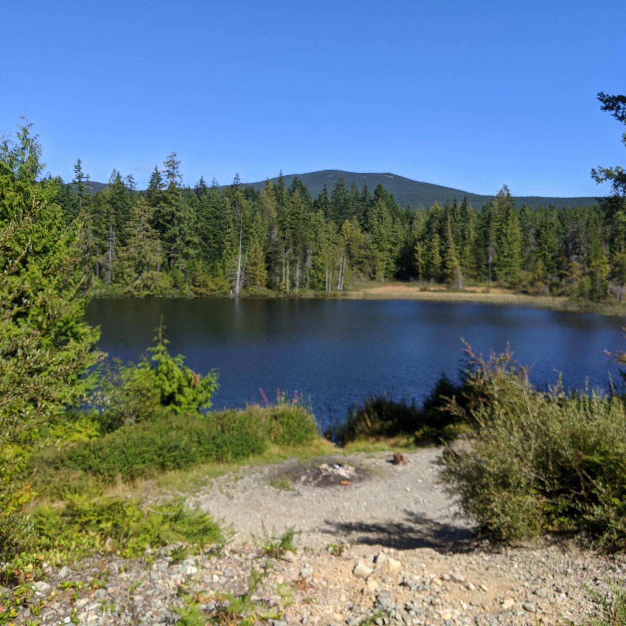
This is one of the main access points to the Holland Creek loop and has roadside parking plus a public washroom at the shelter. From here the trail drops into forest with boardwalks, bridges, and benches along the way. If you want a shorter hike, you can easily do an out-and-back to Crystal Falls from here instead of the full loop.
0
0
Frequently Asked Questions
How many touring cycling routes are available in Cowichan Valley G?
There are over 20 touring cycling routes available in Cowichan Valley G, catering to various skill levels. The komoot community has explored these routes more than 250 times, with an average rating of 4.5 stars.
What are the difficulty levels of touring cycling routes in Cowichan Valley G?
Cowichan Valley G offers a range of difficulty levels. You'll find 2 easy routes, 15 moderate routes, and 7 more challenging routes, ensuring options for every cyclist from beginners to experienced riders.
Are there any iconic landmarks or natural features to see along the touring cycling routes?
Yes, the region is rich with landmarks. A major highlight is the historic Kinsol Trestle, part of the Cowichan Valley Trail, offering spectacular views. You can also visit the Haslam Suspension Bridge, admire the Chemainus Murals in the charming town of Chemainus, or discover Crystal Falls.
Can I cycle past any lakes or rivers in Cowichan Valley G?
Absolutely. The Cowichan Valley is known for its waterways. The Cowichan River, a Canadian Heritage River, is paralleled by scenic paths. You can also cycle near Cowichan Lake, a popular spot for water activities, and explore areas around Heart Lake.
Are there any circular touring cycling routes in Cowichan Valley G?
Yes, many routes in the region are designed as loops, perfect for touring cyclists. For example, the Silva Bay loop from Drumbeg Provincial Park is a popular 29.3 km option. Another great choice is the Cowichan Valley Trail loop from Chemainus, covering 23.3 km.
What kind of terrain can I expect on touring cycling routes in Cowichan Valley G?
The terrain is quite diverse. The Cowichan Valley Trail (CVT) is largely wide, flat, and compacted, ideal for easy cycling. Other routes, like sections of the Cowichan Valley 8 Bikepacking Route, combine gravel, doubletrack, and paved paths. Some areas near mountains like Cobble Hill Mountain offer more varied trails with viewpoints.
Are there easy touring cycling routes suitable for beginners or families?
Yes, there are several easy routes. The Cowichan Valley Trail is particularly suitable for beginners and families due to its generally flat and well-maintained surface. An excellent easy option is the Cowichan Valley Trail loop from Westholme, which is 24 km long.
Are there places to stop for refreshments or food along the cycling routes?
Yes, the Cowichan Valley features charming towns like Chemainus and Duncan, which offer cafes and local eateries perfect for a stop during your ride. The Cowichan Bay area also has artisan shops and wineries where you can find refreshments.
What is the best time of year for touring cycling in Cowichan Valley G?
Thanks to its mild, Mediterranean-like climate, Cowichan Valley G is suitable for year-round outdoor recreation. However, spring and fall often provide the most comfortable temperatures for touring cycling, with pleasant weather and beautiful scenery.
Can I access touring cycling routes using public transport?
While specific public transport access points for all routes may vary, many routes, especially those connected to the Cowichan Valley Trail, are accessible from towns within the region. It's advisable to check local transit schedules for specific connections to trailheads.
Are there any routes that offer significant elevation or challenging climbs for experienced cyclists?
For more adventurous cyclists, routes like the Lake Stowell – Vesuvius Bay loop from Monteith Drive Park Reserve offer significant elevation gain, with over 600 meters of ascent over 41.4 km. The Cowichan Valley 8 Bikepacking Route also includes challenging climbs, particularly near Goldstream Provincial Park.
Are there any touring cycling routes that pass through towns or cultural sites?
Yes, many routes allow you to experience the local culture. You can cycle through picturesque towns such as Chemainus, famous for its murals, and Duncan, known for its totem poles. These towns provide a great opportunity to explore local amenities and cultural sites.
Most popular routes around Cowichan Valley G
Most popular attractions around Cowichan Valley G

Get inspired with the komoot mobile app


Explore more
Browse the best Cycling routes in other regions.
