Routes

Planner

Features

Updates

App

Login or Signup

Get the App

Login or Signup

Routes
Running Trails
United States
Colorado

Grand County

The best running trails in Grand County

238

runners

57

runs

Jogging routes in Grand County traverse a diverse landscape, characterized by crystal-clear alpine lakes, verdant forests, and majestic mountain peaks. The region offers varied terrain, from gentle riverside paths to challenging mountain ascents, providing options for different fitness levels. This area is known for its iconic Colorado scenery and extensive trail systems.

Best jogging routes in Grand County

  • The most popular jogging route is Fraser River Trail, a 4.8 miles (7.8 km) trail that takes 56 minutes to complete. This moderate path winds through scenic woods and alongside the Fraser River.
  • Another top favourite among local runners is East Inlet Trail, a difficult 10.6 miles (17.1 km) path. This trail offers a challenging run past Adams Falls to Lone Pine Lake within Rocky Mountain National Park.
  • Local runners also love the Monarch Lake loop run, a 4.1 miles (6.6 km) trail leading through forested areas near Grand Lake, often completed in about 49 minutes.
  • Jogging in Grand County is defined by alpine lakes, forests, and mountain ranges. The network offers options for different ability levels, from accessible riverside paths to challenging high-elevation trails.
  • The routes in Grand County are highly rated by the komoot community with an average score of 5.0 stars from 1 review. More than 190 runners have used komoot to explore Grand County's varied terrain.

Last updated: August 17, 2026

15

runners

#1.

Mount Flora Trail

10.0km

01:42

540m

540m

Embark on the Mount Flora Trail for a difficult jogging experience high in the Colorado mountains. This route spans 6.2 miles (10.0 km) and challenges you with a significant elevation gain of 1767 feet (539 metres), typically taking around 1 hour and 42 minutes to complete. As you ascend, you'll find yourself in open alpine terrain, offering continuous, wide-ranging views of the Continental Divide. Look out for the distant peaks of the Front Range and even glimpses of Rocky Mountain National Park on clear days. The high-altitude environment provides a unique perspective of the Colorado high country.

To make the most of your jogging trip, plan to start early in the day. This helps you avoid potential afternoon thunderstorms, which are a common risk during summer months in this region. An early start also allows you to beat the crowds, ensuring a more peaceful experience on the trail. You can find convenient parking directly off Highway 40 at Berthoud Pass, which also serves as the trailhead. Restroom facilities are available at the trailhead for your convenience before you begin your ascent.

The Mount Flora Trail is nestled within the vast Arapaho National Forest, offering a true immersion into the natural beauty of the Colorado high country. This area is known for its expansive alpine vistas, providing a sense of solitude and connection with nature. During the summer, the open slopes often burst into vibrant displays of wildflowers, adding splashes of color to the rugged landscape. The trail's challenging nature and high-altitude setting make it a notable route for those seeking a demanding yet rewarding outdoor experience in the Front Range.

Navigate with device

Send to Phone

Save

Hard

14

runners

7.77km

00:56

50m

50m

The Fraser River Trail offers a moderate jogging experience, covering 4.8 miles (7.8 km) with an elevation gain of 179 feet (54 metres). You can expect to complete this route in about 56 minutes, enjoying varied terrain and scenic beauty. As you jog, the path follows the picturesque Fraser River, winding through dense woods that provide a peaceful atmosphere, even as it parallels US Highway 40. You will also catch glimpses of the surrounding mountains, including Byers Peak and the distant ski resort.

Planning your visit is straightforward, as the trail functions as a multi-use pathway connecting the towns of Fraser and Winter Park, making access easy from either end. Parking is available at various points within both towns, so you have options for where to begin your run. While generally smooth, be aware that some sections near the north end of the trail can be a bit bumpy or rutted, so keep an eye on the path.

This route stands out for its blend of natural beauty and accessibility, offering a mix of paved and scenic gravel sections. It provides a continuous link between two popular mountain towns, allowing you to extend your adventure or simply enjoy a refreshing jog along the river. The varied surfaces keep the experience engaging, ensuring a dynamic run through the Cozens Ranch Open Space.

Moderate
guide_signup
Let us show you the way with the komoot mobile app
With a free komoot account, you can easily find, customize, and navigate endless outdoor adventures.

Sign up for free

10

runners

9.29km

01:11

150m

150m

Lace up your jogging shoes for the East Shore Trail, a moderate route offering serene views of Shadow Mountain Lake. As you jog, the path gently winds through the natural landscape, providing glimpses of the majestic Rocky Mountain National Park scenery. This 5.8 miles (9.3 km) journey involves a manageable 495 feet (151 metres) of elevation gain, making it a rewarding experience without being overly strenuous. You can expect to complete this route in about 1 hour and 10 minutes, enjoying the fresh mountain air and peaceful atmosphere. It's a perfect way to immerse yourself in the area's natural beauty.

Accessing the East Shore Trail is straightforward, with general parking conveniently available right at the trailhead. This makes it easy for most visitors to start their jogging adventure without hassle. Before you head out, it's always a good idea to check the current local conditions. Mountain weather can change rapidly, especially during the shoulder seasons, so being prepared will ensure a more enjoyable and safe outing. Plan your visit accordingly to make the most of your time on the trail.

This trail is situated within the beautiful Arapaho National Recreation Area, offering a unique opportunity to experience the region's diverse ecosystem. The route provides a chance to connect with nature, observing the local flora and fauna that thrive in this mountain environment. Its location near Rocky Mountain National Park also means you are in a prime spot to explore other natural wonders. The East Shore Trail stands out as an accessible option for those looking to combine a good jog with stunning natural scenery.

Moderate

10

runners

6.64km

00:49

80m

80m

Embark on the Monarch Lake loop run, a difficult jogging route covering 4.1 miles (6.6 km) through shaded forests and alongside the lake's glistening waters. You will gain 248 feet (76 metres) in elevation, with an estimated duration of 49 minutes. This challenging route offers a rewarding experience, providing views of the towering Rocky Mountain summits as you navigate the terrain.

For your visit, the Monarch Lake trailhead offers convenient parking, bathroom facilities, and picnic areas. The trail is dog-friendly, but please note that dogs are not permitted to swim in Monarch Lake itself. This popular spot can get busy, especially on weekends, so plan your arrival accordingly.

Located within the Indian Peaks Wilderness, this route is a great opportunity to observe local wildlife such as deer and moose. You might also spot antique logging equipment, known as "steam donkeys," which are relics from the area's past. The trail provides a unique blend of natural beauty and historical intrigue.

Hard

8

runners

17.1km

02:13

520m

520m

Embark on a difficult jogging adventure along the East Inlet Trail, a challenging 10.6-mile (17.1 km) route that demands a significant 1702 feet (519 metres) of elevation gain. You can anticipate spending around 2 hours and 12 minutes navigating this path. The trail guides you alongside the East Inlet Creek, where you will encounter the striking Adams Falls, before continuing its ascent through varied terrain towards higher alpine lakes.

Before you begin your jogging trip, note that the East Inlet Trail starts at an elevation of 8,420 feet, so allow yourself time to adjust if you are not accustomed to high altitudes. Dogs are not permitted on this route, so make alternative arrangements for your pets. Always check the Rocky Mountain National Park regulations for any required permits or fees to ensure a smooth visit.

This trail offers a unique opportunity to experience the diverse ecosystems within Rocky Mountain National Park. As you jog, keep an eye out for local wildlife, including elk and moose, particularly in the expansive Kawuneeche Valley. The journey from wildflower-filled meadows to pristine alpine lake views showcases the natural beauty that makes this area so special.

Hard

8

runners

14.0km

02:15

820m

820m

Prepare for a difficult jogging adventure on the Byers Peak Trail, a route that spans 8.7 miles (14.0 km) and demands a significant 2693 feet (821 metres) of elevation gain. You can expect to complete this challenging journey in about 2 hours and 15 minutes. The trail begins on a closed forest service road before transitioning to a winding singletrack through dense pine and aspen forests. As you climb higher, the landscape dramatically shifts above the treeline, becoming rockier and leading you across steep sub-alpine slopes. Your reward is the impressive Byers Peak summit, offering expansive 360-degree panoramic views of Grand County and the surrounding alpine ecosystem.

When planning your visit to Byers Peak Trail, be aware that snow can linger on the upper sections until late June or early July. For the best conditions, aim to go in late June or July. If you wish to shorten the jogging portion, you have the option to bike the initial 1.8 to 2 miles on the closed road. This route is also dog-friendly, so your canine companions are welcome to join you on this high-altitude excursion.

This trail is a prime example of the diverse alpine ecosystems found in the Byers Peak Wilderness. The journey takes you from lush forest floors to exposed, rocky sub-alpine environments, culminating in the 12,804-foot summit. From the peak, you gain a unique perspective on Grand County and can clearly see neighboring Bill's Peak, highlighting the rugged beauty of this Colorado region.

Hard

7

runners

22.6km

03:00

590m

590m

Prepare for a challenging jogging adventure on the Cascade Creek Trail, a difficult 14.1-mile (22.6 km) route that climbs 1934 feet (590 metres) over approximately 3 hours. You will journey through lush aspen groves and open meadows, experiencing quintessential Colorado terrain. The trail leads you past stunning waterfalls, including the impressive Cascade Creek Waterfall, and eventually to crystal-clear alpine lakes like Mirror Lake and Crater Lake, set against the dramatic craggy Indian Peaks.

When planning your visit, be aware that this route is very popular in the Indian Peaks Wilderness, especially on weekends and holidays. The first 1.5 miles from the Monarch Lake Trailhead offer a relatively flat start, but don't be fooled; subsequent sections become very steep with numerous switchbacks. You should also expect technical terrain, including rock scree and downed trees, making for a demanding workout.

This trail is a highlight within the Indian Peaks Wilderness, known for its diverse landscapes and rewarding views. It offers a substantial workout for experienced joggers seeking both a physical challenge and the beauty of high-alpine environments. The journey from Monarch Lake provides a deep dive into the region's natural splendor, making it a memorable outing.

Hard

7

runners

9.54km

01:20

100m

100m

Prepare for a difficult jogging route on the Creekside and Flume Loop, covering 5.9 miles (9.5 km) with an elevation gain of 330 feet (101 metres). This challenging journey takes approximately 1 hour and 20 minutes to complete. As you jog, you will follow the scenic St. Louis Creek, offering picturesque waterside views and winding through a mix of pine and aspen trees. Expect varied terrain, from rocky sections to mellow, flowy singletrack, particularly on the Flume Trail portion of the route. Keep an eye out for moose near the willow trees along the Creekside section, and enjoy views of Byers Peak and the valley.

This loop is easily accessible from the St. Louis Creek campground, making it convenient for a day out. The trail's seasonal beauty shines through much of the year, with vibrant fall foliage and summer wildflowers adding to the experience. While no specific permits or fees are mentioned, it is always a good idea to check local conditions before you head out. Plan your visit to take advantage of the best weather and trail conditions for an enjoyable and challenging jog.

The Creekside and Flume Loop offers a unique opportunity to experience the natural beauty of Arapaho National Forest. The trail's path along St. Louis Creek provides a refreshing element to your jog, and the diverse forest environment supports a variety of wildlife, including the possibility of spotting moose. This route stands out for its combination of challenging terrain and rewarding scenery, making it a notable option for those seeking a vigorous outdoor activity near Winter Park, Colorado.

Hard

5

runners

15.2km

02:15

700m

700m

Embark on the challenging Mount Ida Trail, a difficult jogging route spanning 9.4 miles (15.2 km) with a significant elevation gain of 2301 feet (701 metres). This high-altitude journey, estimated to take 2 hours and 14 minutes, offers a rugged experience above the treeline. As you ascend, the terrain transforms into alpine tundra, providing expansive views of the Continental Divide. You will jog past unique rock formations and sparse vegetation, feeling the vastness of the Rocky Mountains around you. The path leads to the summit of Mount Ida, where you can enjoy sweeping 360-degree panoramas.

Prepare for variable conditions when planning your jogging trip on Mount Ida Trail. The weather can change quickly, especially once you are above the treeline, bringing strong winds and sudden afternoon thunderstorms. To avoid these storms and potential lightning, an early start is highly recommended. Be aware that you might encounter snow and ice on the trail even into late June, so pack appropriate gear for cold and wet conditions.

This route is renowned for its exceptional wildlife viewing opportunities within the alpine tundra environment. Keep an eye out for bighorn sheep, elk, marmots, and pikas as you traverse the high-altitude landscape. From the summit, you can clearly see the Never Summer Mountains to the west and the Mummy Range to the northeast, with distant glimpses of Longs Peak, making it a prime spot for panoramic photography.

Hard

6

runners

Embark on the Wyoming Trail Loop From Dumont Lake, a moderate jogging route spanning 6.8 miles (11.0 km) with an elevation gain of 737 feet (225 metres). You can expect to complete this loop in about 1 hour and 25 minutes. As you jog, you will move through diverse terrain, from wide open fields to subalpine forests filled with lodgepole pines and quaking aspens. The trail offers panoramic views of the Continental Divide, where you might spot towering peaks in the distance. You will also traverse sections of Forest Service Road 311, which provides a varied surface for your run. This route offers a good challenge for runners looking for a scenic workout.

Before you head out, be aware that high-altitude trails in this region can experience rapidly changing weather conditions. Always check local forecasts and trail conditions before you go, especially concerning snowfields which can persist until mid-summer. Parking is generally available at trailheads in the area, making access straightforward. Plan your visit to ensure you have enough time to enjoy the full loop safely.

This trail is situated within the vast Routt National Forest, offering you a chance to experience a significant natural area. The route itself follows part of the Continental Divide, a major hydrological boundary in North America. Keep an eye out for local wildlife like marmots or pika as you explore. The mix of open spaces and forest makes this loop a distinctive option for jogging in the region.

Moderate
Sign up for free to see 48 more runs in Grand County.

Get access to more routes and recommendations from other explorers.

Sign up for free

Already have an account?

Our route recommendations are based on thousands of hikes, rides, and runs completed by other people on komoot.

Start today with a free account

Your next adventure awaits.

Login or Signup

Popular around Grand County

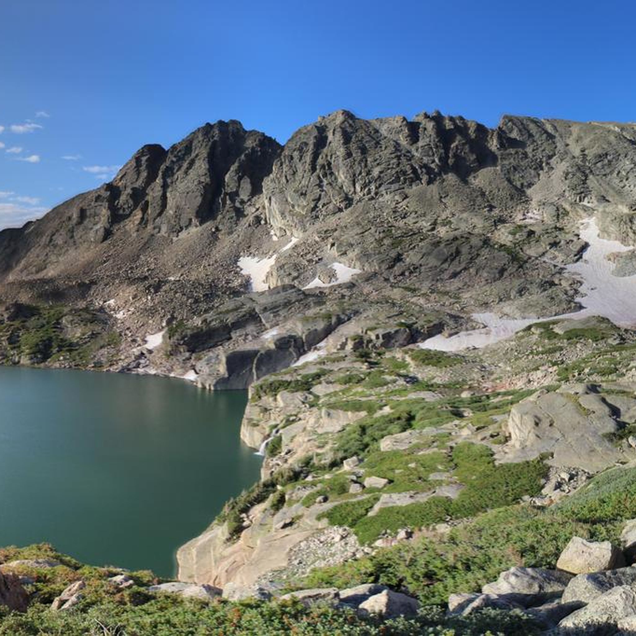
Running Trails in Indian Peaks Wilderness
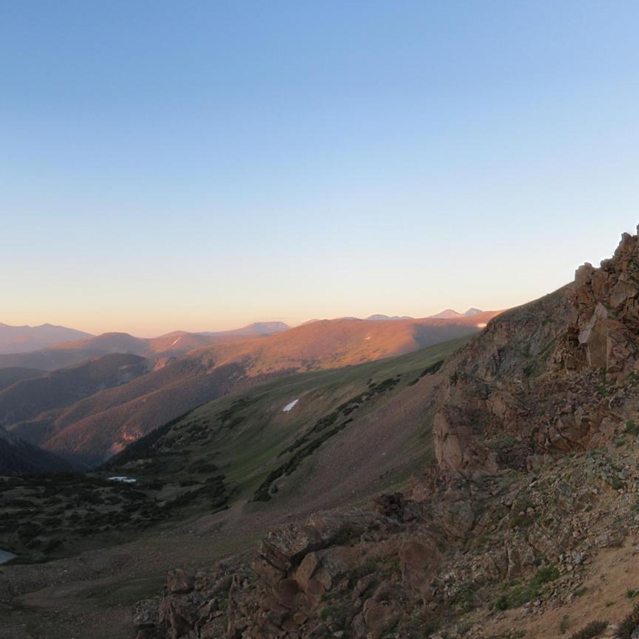
Running Trails in Vasquez Peak Wilderness
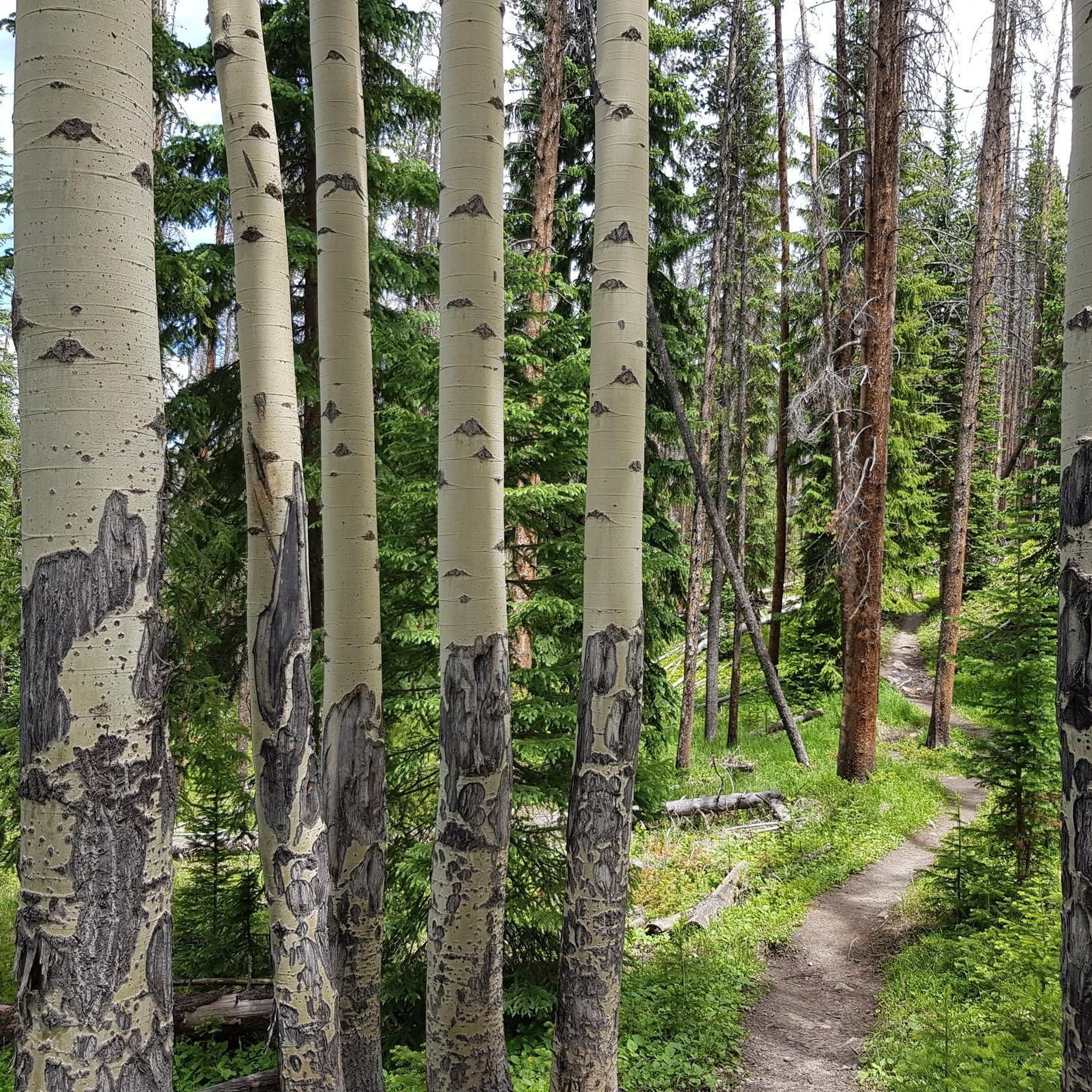
Running Trails around Grand Lake
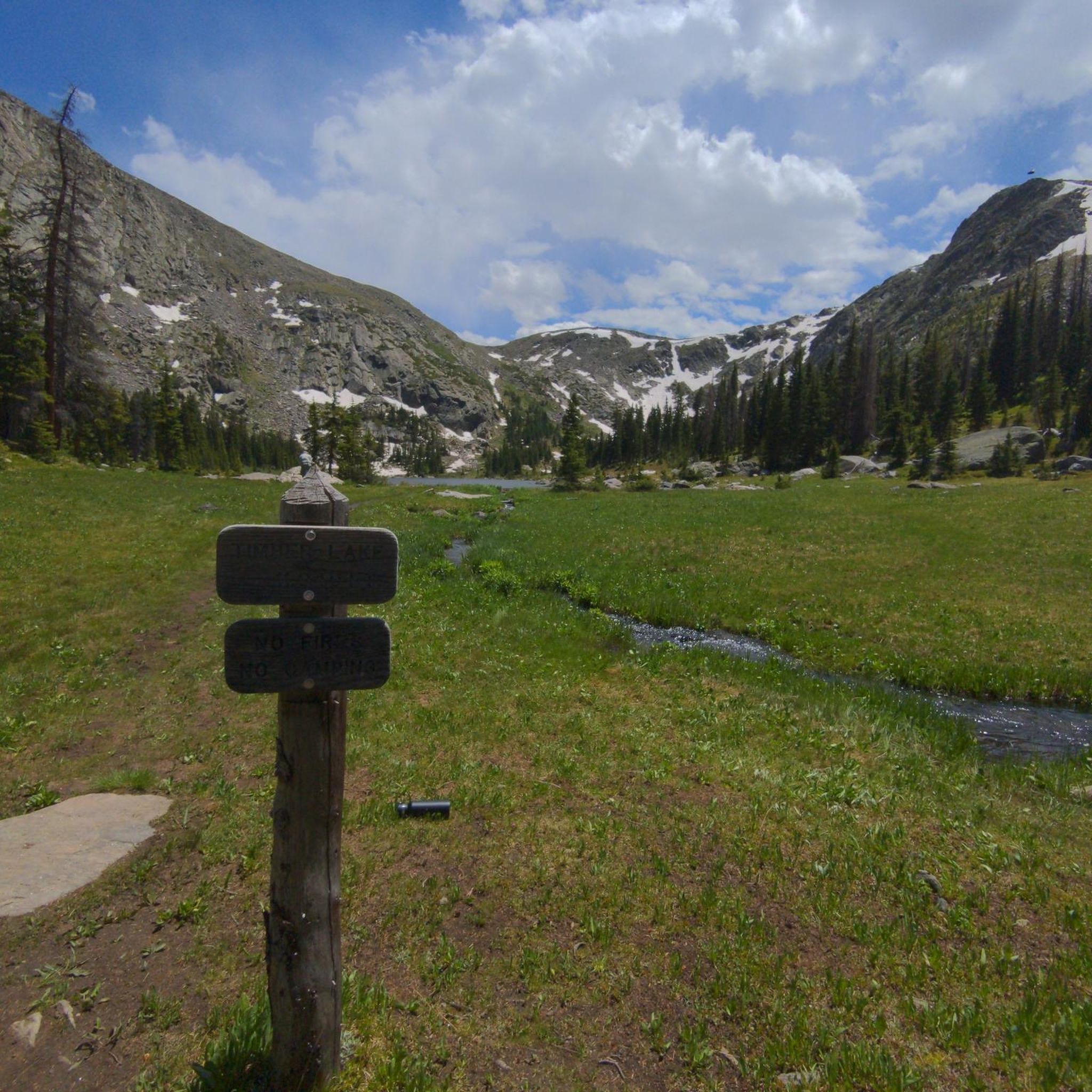
Running Trails in Never Summer Wilderness
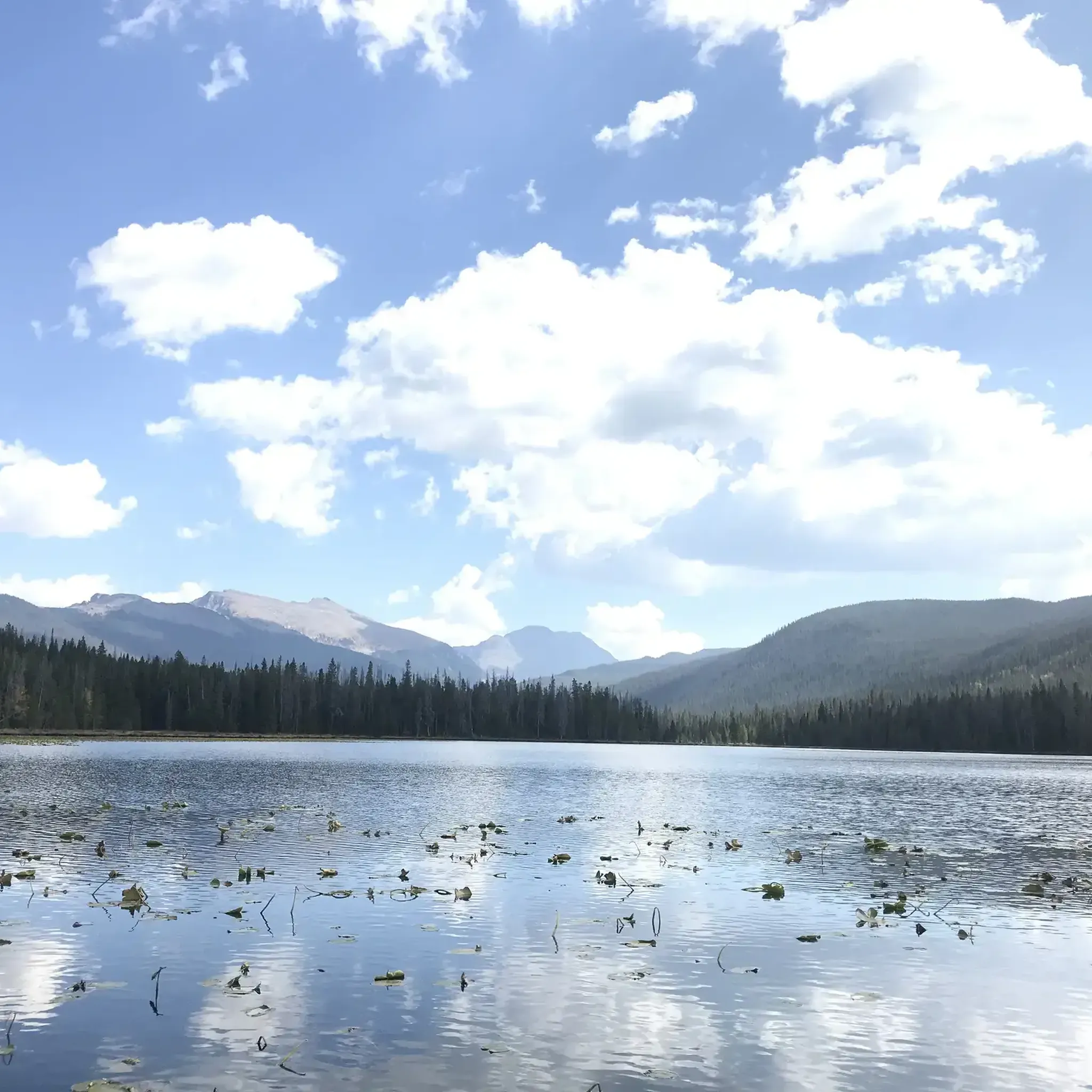
Running Trails in Arapaho National Recreation Area
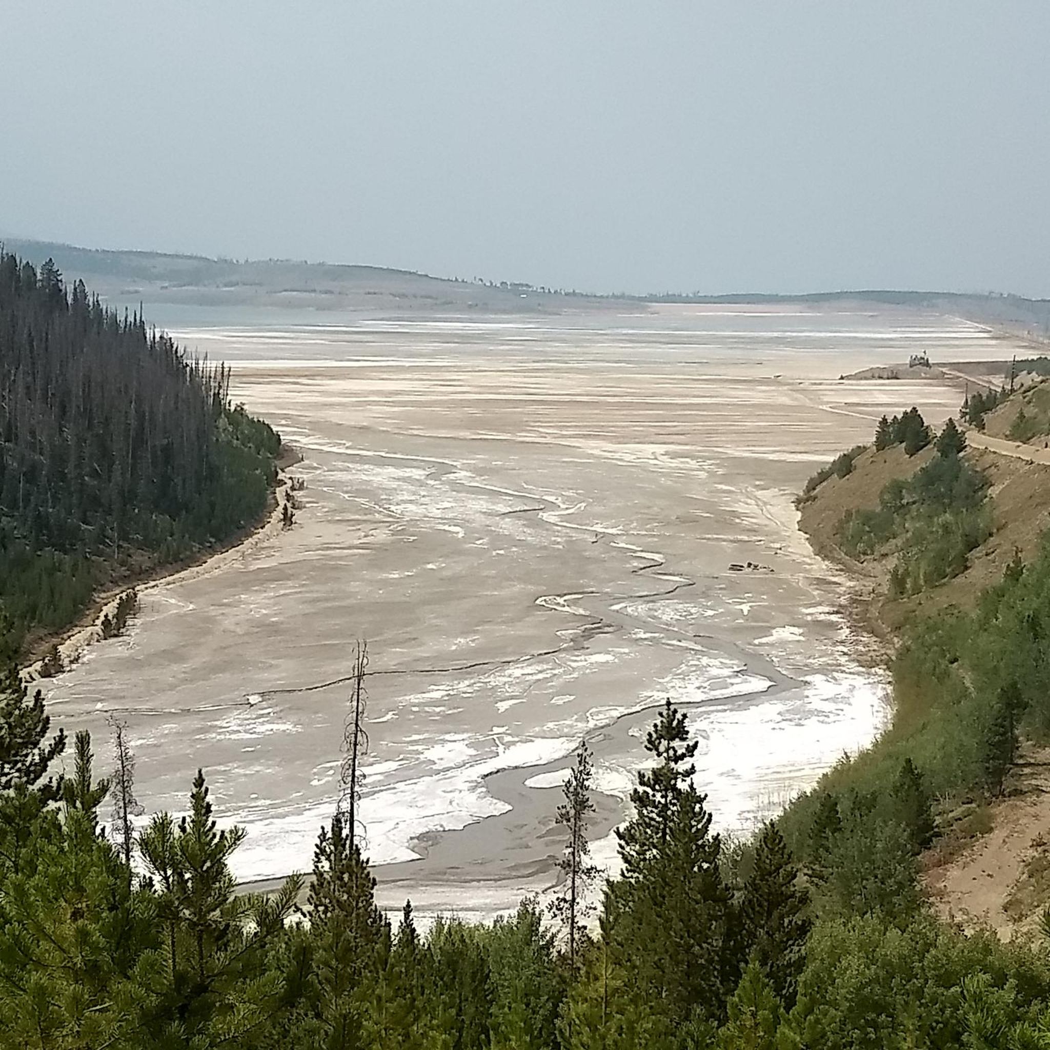
Running Trails in Byers Peak Wilderness
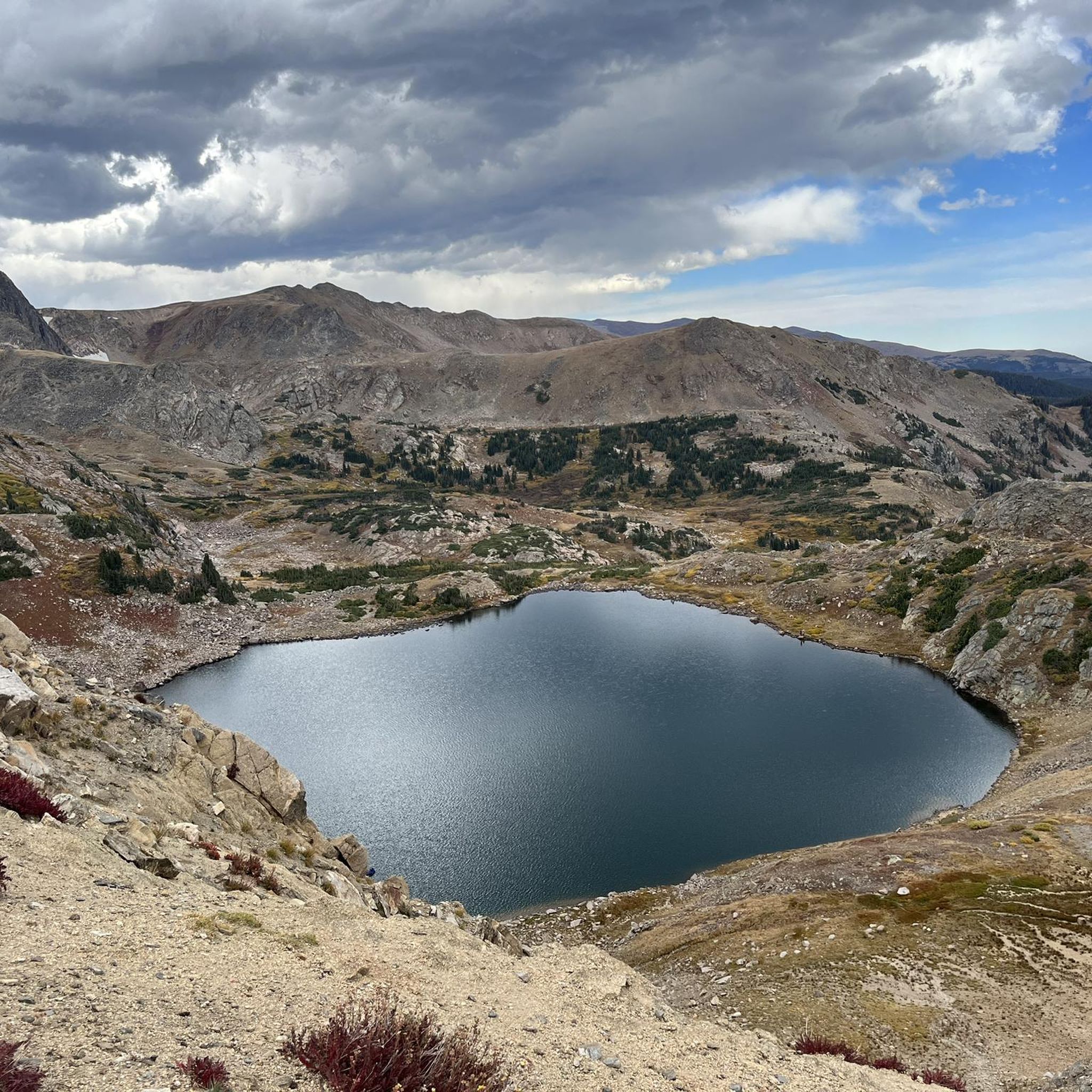
Running Trails around Winter Park

Running Trails around Fraser

Running Trails around Tabernash

Hiking in Grand County

Tips from the Community

Sigrid
October 29, 2025, Grand Lake

The town of Grand Lake is located at the western entrance to Rocky Mountain National Park. It is situated in a beautiful mountain landscape and serves as a starting point for many activities in the western half of the park.

Translated by Google

0

0

Sigrid
October 20, 2025, Adams Falls

A short walk from the large parking lot to Adam Falls. They are very easy to reach, and the path is well-maintained, although there are a few steps and rocks to climb. A circular trail has been created near the falls, which runs along the river.

Translated by Google

0

0

maniboyflex
December 12, 2023, Mount Ida

Mount Ida is a remarkable summit located in the Front Range; with a height of 12,899 ft it delivers spectacular views of the park. When at the top expect to have a panoramic view of the surroundings, including the Never Summer Mountains, the Mummy Range, Mt. Julian, Cracktop Mountain, and Longs Peak, among others.

0

0

Lisa
November 24, 2023, Forest Service Road 311

This dirt road makes for easy running, and offers a great view of the stumpy rock formation of Rabbit Ears Peak. (They used to be more prominent, but have been weathered down over the years.) The road eventually ties in with the Continental Divide Trail.

1

0

Lisa
November 24, 2023, Forest Service Road 311

This dirt road makes for easy walking, and offers a great view of the stumpy rock formation of Rabbit Ears Peak. (They used to be more prominent, but have been weathered down over the years.) The road eventually ties in with the Continental Divide Trail.

1

0

Matthew
November 19, 2023, Mount Flora

Mount Flora rises to 13,146 feet and offers unobstructed views of the surrounding peaks and forests. The summit can be reached from multiple angles, but it is most often approached from the Berthoud Pass side.

0

0

Fraser River Trail has a total length of 6.3 miles between the town of Fraser and Winter Park. The marked segment follows the Fraser River (as the name indicates) and runs parallel to the Highway 40. The trail offers the possibility to connect the two towns without having to use a car and instead gives you the opportunity to enjoy beautiful nature, great views of the surrounding mountains and maybe even some wildlife encounters (beavers, moose, deer, birds...). Summed up: the perfect trail for families!

0

0

Chainsaw Trail links the Lower Creekside parking area with Flume Trail and Creekside Loop Trail, amongst others. It's a lovely trail close to Fraser, offering supreme access to Byers Peak Wilderness and Arapaho National Forest.

0

0

Frequently Asked Questions

How many running routes are available in Grand County?

Grand County offers over 50 dedicated running routes, catering to various skill levels. You'll find everything from gentle riverside paths to challenging mountain ascents through its diverse landscape of alpine lakes, forests, and majestic mountain peaks.

Are there easy running routes suitable for beginners or families?

Yes, Grand County has several accessible options. For a moderate and scenic run, consider the Fraser River Trail, which winds through woods and alongside the river. There are 4 easy routes and 13 moderate routes available, providing plenty of choices for those seeking less strenuous runs.

What kind of terrain and elevation can I expect on Grand County's running trails?

The terrain in Grand County is highly varied. You can find gentle, relatively flat paths like parts of the Fraser River Trail, or challenging mountain ascents with significant elevation gain. For instance, the Mount Flora Trail involves over 500 meters of elevation gain, while the Byers Peak Trail climbs over 800 meters, offering rewarding panoramic views.

Can I find circular running routes in Grand County?

Yes, there are several excellent loop options for runners. A popular choice is the Monarch Lake loop run, which takes you through forested areas near Grand Lake. Another option is the Creekside and Flume Loop, offering a scenic 9.5 km run.

What natural features or landmarks can I see while running in Grand County?

Grand County's trails are rich with natural beauty. You can encounter majestic waterfalls like Adams Falls along the East Inlet Trail, or run alongside the shores of stunning alpine lakes such as Grand Lake and Monarch Lake. Many routes also offer breathtaking vistas of mountain ranges and verdant forests.

Are there opportunities for wildlife spotting on the running trails?

Absolutely! Grand County is known for its abundant wildlife. Trails, especially those within or bordering Rocky Mountain National Park like the East Inlet Trail, offer excellent chances to spot famous Rocky Mountain National Park wildlife such as moose, deer, and foxes.

What is the best time of year for running in Grand County?

The warmer months, from late spring through early fall, are generally ideal for running in Grand County, when trails are clear of snow and wildflowers are in bloom. However, some paved sections of trails, like parts of the Fraser River Trail, are plowed in winter, offering opportunities for cold-weather running, though caution is advised due to potential slick spots.

Are there any long-distance or challenging running routes for experienced trail runners?

Yes, experienced trail runners will find plenty of challenges. The East Inlet Trail is a difficult 17.1 km path, and the Mount Ida Trail offers a challenging 15 km run with significant elevation. For those seeking extreme distances, over 130 miles of the Continental Divide National Scenic Trail (CDT) run through Grand County, accessible from points like Berthoud Pass.

What do other runners enjoy most about jogging in Grand County?

The running routes in Grand County are highly rated by the komoot community, with an average score of 5.0 stars from 1 review. More than 190 runners have used komoot to explore the varied terrain, often praising the stunning Colorado scenery, diverse trail options, and opportunities for wildlife viewing.

Are there any specific trails that offer views of alpine lakes?

Many trails in Grand County provide stunning views of alpine lakes. The East Inlet Trail leads past Adams Falls to Lone Pine Lake, while the Monarch Lake loop run explores the area around Monarch Lake. These routes showcase the region's iconic water features.

Where can I find more information about trails in Grand County?

For additional information on hiking and biking trails, which often overlap with running routes, you can visit visitgrandcounty.com. Organizations like the Headwaters Trails Alliance also provide extensive resources and trail guides for the area.

Most popular routes in Grand County

Hiking in Grand County

Most popular attractions in Grand County

Places to see

Store rating

Get inspired with the komoot mobile app

With a free komoot account, you can easily find, customize, and navigate endless outdoor adventures.

or

Join komoot Now

Store rating

Didn’t find what you were looking for?

Check out more Running Trails & Routes throughout Grand County below and find the perfect route in your destination.

Arapaho National Recreation AreaNever Summer WildernessIndian Peaks WildernessVasquez Peak WildernessWinter ParkGrand LakeByers Peak WildernessTabernashFraser

Nearby adventure guides

Things to Do around Granby

background

Get ready to conquer new peaks

Sign up for Free

Explore
RoutesRoute plannerFeaturesRedeem a voucherHikesMTB TrailsRoad cycling routesBikepackingSitemap
Download the app
Follow Us on Socials

© komoot GmbH

Privacy Policy