The best road cycling routes in Greene County
4.8
(11)
339
riders
45
rides
Road cycling in Greene County features a diverse landscape of rolling hills and river valleys, offering varied terrain for cyclists. The region includes a network of paved trails and scenic byways, connecting urban areas with natural parks and waterways. Cyclists encounter a mix of gentle gradients along rivers and moderate ascents through the countryside. The area's topography provides options for different cycling preferences.
Best road cycling routes in Greene County
- The most popular road cycling route is Waterfall in Sequiota…
Last updated: May 21, 2026
26
riders
61.2km
02:36
340m
340m
Moderate road ride. Good fitness required. Mostly well-paved surfaces and easy to ride.
5.0
(1)
28
riders
25.6km
01:20
100m
100m
Easy road ride. Great for any fitness level. Mostly well-paved surfaces and easy to ride.

Sign up for free
5.0
(1)
18
riders
Easy road ride. Great for any fitness level. Mostly well-paved surfaces and easy to ride.
5.0
(1)
19
riders
19.1km
01:01
60m
60m
Easy road ride. Great for any fitness level. Mostly well-paved surfaces and easy to ride.
15
riders
34.3km
01:38
150m
150m
Easy road ride. Great for any fitness level. Mostly well-paved surfaces and easy to ride.
16
riders
19.3km
00:53
210m
210m
Easy road ride. Great for any fitness level. Mostly well-paved surfaces and easy to ride.
11
riders
28.7km
01:19
110m
110m
Easy road ride. Great for any fitness level. Mostly well-paved surfaces and easy to ride.
10
riders
21.9km
00:56
70m
70m
Easy road ride. Great for any fitness level. Mostly well-paved surfaces and easy to ride.
12
riders
23.1km
01:03
170m
170m
Easy road ride. Great for any fitness level. Mostly well-paved surfaces and easy to ride.
5.0
(1)
16
riders
21.0km
00:59
100m
100m
Easy road ride. Great for any fitness level. Mostly well-paved surfaces and easy to ride.
Get access to more routes and recommendations from other explorers.
Sign up for free
Already have an account?
Our route recommendations are based on thousands of hikes, rides, and runs completed by other people on komoot.
Start today with a free account
Your next adventure awaits.
Login or Signup
Popular around Greene County
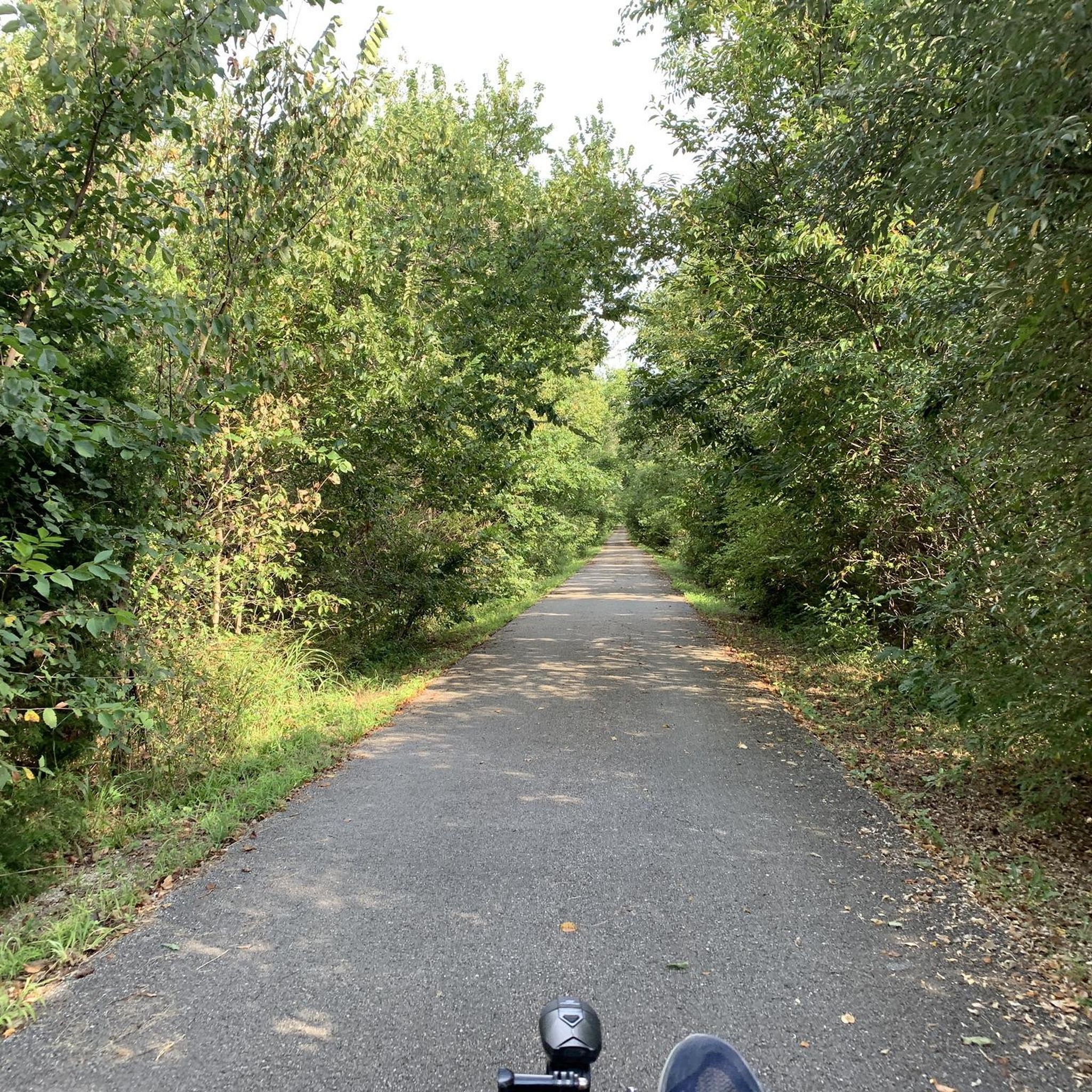
Road Cycling Routes around Springfield
Road Cycling Routes around Rogersville

Road Cycling Routes around Battlefield

Road Cycling Routes around Republic

Road Cycling Routes around Willard

Adventure Cycling Association's Bicycle Route 66 — LA to Chicago
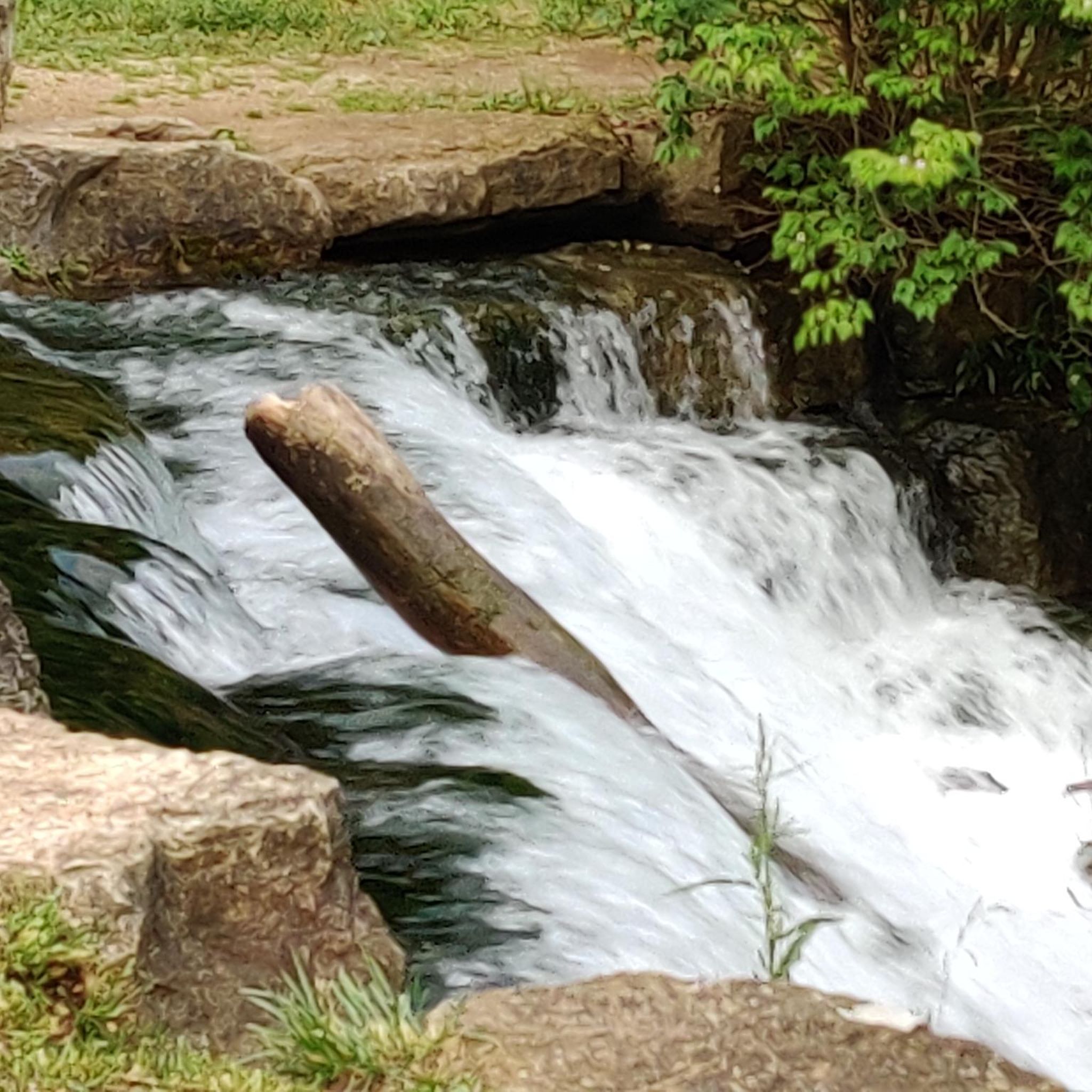
Hiking in Greene County
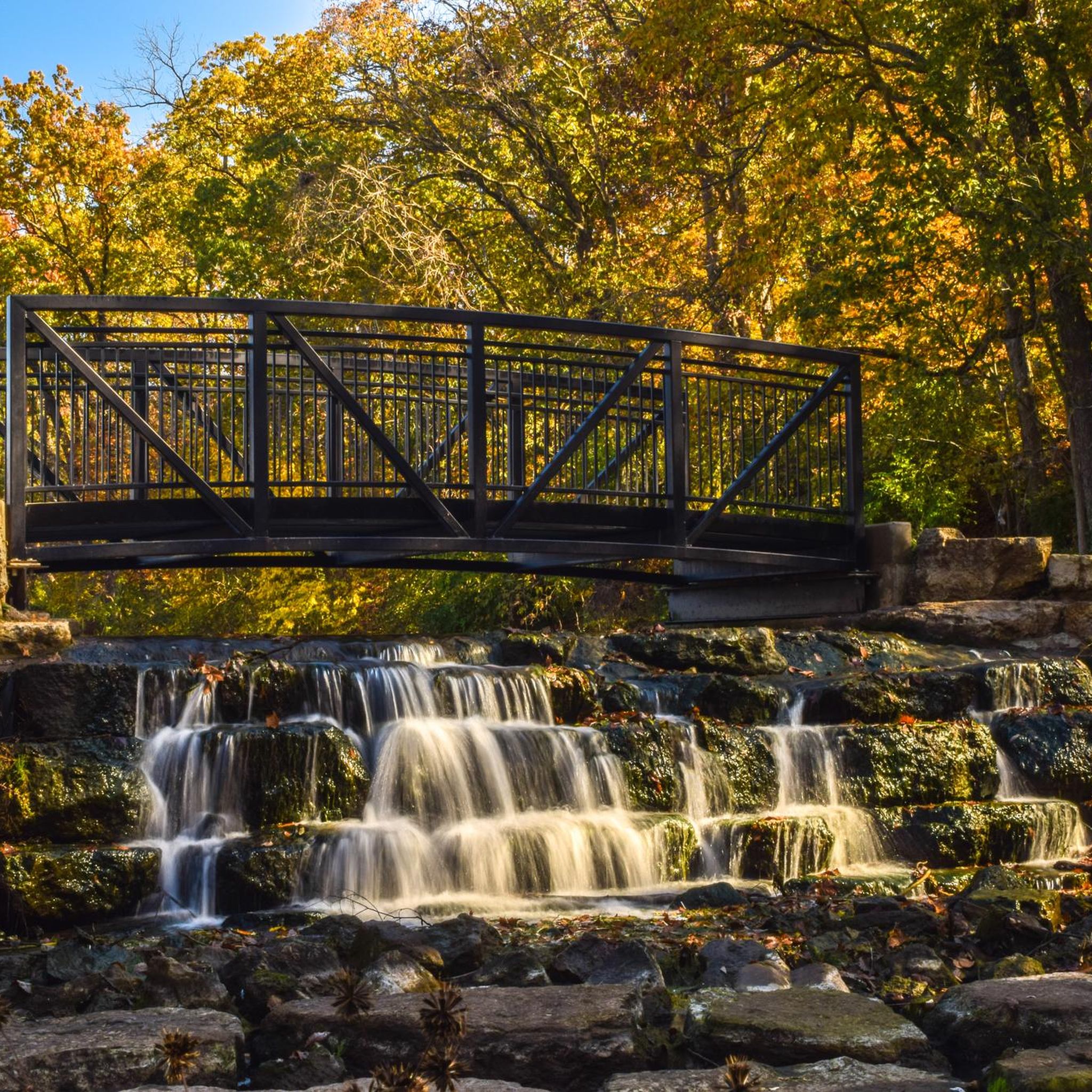
Cycling in Greene County

Running Trails in Greene County
Other adventures in Greene County

Tips from the Community

The Frisco Highline Trail, designated as a National Recreation Trail, was once a bustling railway. It stretches 35 miles through the scenic Ozarks, connecting Springfield to Bolivar, Missouri. This trail provides a fantastic scenic route for exploring the area's small towns.
1
0
Phelps Grove Park is a peaceful oasis in the heart of Springfield. The grounds are lined with beautiful, majestic oak trees, providing plenty of shade. There are picnic tables, restrooms, and a drinking fountain, making it a perfect spot to take a break during a day of riding and enjoy this quiet and charming spot.
0
0
Wilson's Creek National Battlefield, part of the National Park System, preserves the site of the first major battle of the Civil War in the West on August 10, 1861. A paved, bike-friendly road circles the battlefield, with information kiosks along the way, making it an ideal location for a break while you learn about the park's history. The entry fee is $10 if you want to take the 5-mile loop.
0
0
Nathanael Greene Park shares the property with the Springfield Botanical Gardens. Walking paths surround the gardens, ponds, and gazebos, and some connect to the South Creek Greenway, which passes by Lake Drummund.
0
0
The South Creek Greenway, a designated National Recreation Trail by the National Park Service, is a fantastic paved pathway that winds its way through the heart of Springfield. It offers several access points, providing ample opportunities for both long and short rides along this scenic paved path.
0
0

The James River Bridge is an old iron bridge crossing the James River. It serves as the southernmost end of the Galloway Creek Greenway, and there's even a small pull-off area where you can park on the south side of the river.
0
0
Sequiota Park is beautiful, spanning 28 acres and offering a variety of activities for visitors to enjoy. There are several picnic areas and plenty of open space. Its unique feature is a protected cave on the grounds that is home to an endangered migrating colony of gray bats. The park surrounds a lovely pond with plenty of ducks, geese, and swans, making it the perfect place to stop for a picnic and enjoy its beautiful surroundings.
0
0
The Galloway Creek Greenway is a fantastic urban paved pathway that provides a leisurely ride along the beautiful trees in the James River Corridor. It passes by a lovely park and has easy access to several restaurants and shops all the way to Lake Springfield. The path connects to the James River Greenway and the James River Water Trail, where you can extend your ride and enjoy the picturesque scenery of the Ozarks in the heart of the city.
0
0
Frequently Asked Questions
How many road cycling routes are available in Greene County?
Greene County offers a wide selection of road cycling routes, with over 40 tours available. These routes cater to various skill levels, from easy rides to more challenging ascents.
What kind of terrain can I expect when road cycling in Greene County?
Greene County features a diverse landscape for road cyclists. You'll find a mix of rolling hills and river valleys, with options ranging from gentle gradients along waterways to moderate ascents through the countryside. Some areas, like Greene County, Ohio, boast extensive paved trail networks, while others, such as Greene County, New York, offer challenging climbs in the Catskill Mountains.
Are there routes suitable for beginners or families in Greene County?
Yes, Greene County has many easy road cycling routes perfect for beginners and families. Out of the available tours, 33 are classified as easy. A great option is the Frisco Highline Trail loop from Little Sac River, which offers a relatively flat ride. Another family-friendly choice is the Nathanael Greene Park – Phelps Grove Park loop from Summit Preparatory School, which takes you through urban parks and green spaces.
Are there challenging road cycling routes in Greene County?
While many routes are easy, Greene County does offer options for those seeking a challenge. There is at least one difficult route, and 11 moderate routes, which include more significant elevation gains. Areas like Greene County, New York, within the Catskill Mountains, are known for their challenging ascents and descents.
What do other road cyclists enjoy most about the routes in Greene County?
The road cycling routes in Greene County are highly rated by the komoot community, with an average score of 4.6 stars from over 10 reviews. Cyclists often praise the varied terrain, the scenic byways, and the well-maintained paved trails that connect different parts of the county.
Are there scenic routes with natural attractions like waterfalls or rivers?
Absolutely. Many routes in Greene County offer beautiful natural scenery. For instance, the Waterfall in Sequiota Park – James River Bridge loop from Battlefield Mall connects several local landmarks and natural features, including the picturesque Sequiota Park Pond and Waterfall. You can also find routes winding along rivers like the Little Miami in Ohio or the Nolichucky in Tennessee, offering stunning views.
Can I find routes that pass through parks or natural areas?
Yes, Greene County's road cycling routes often incorporate parks and natural areas. The Nathanael Greene Park – Phelps Grove Park loop from Summit Preparatory School is a great example, leading through urban parks and green spaces like Nathanael Greene Park. Other regions feature parks like John Bryan State Park in Ohio or Ryerson Station State Park in Pennsylvania, providing access to diverse ecosystems and scenic views.
Are there any historical or cultural points of interest along the road cycling routes?
Depending on the specific Greene County, you can encounter various historical and cultural points. For example, Greene County, Pennsylvania, is known for its seven covered bridges, offering picturesque routes through the countryside. In Greene County, Tennessee, routes often weave through historic downtown areas, showcasing the region's heritage.
Are there circular road cycling routes in Greene County?
Many of the road cycling routes in Greene County are designed as loops, allowing you to start and end at the same point. Examples include the popular Waterfall in Sequiota Park – James River Bridge loop from Battlefield Mall and the Frisco Highline Trail loop from Little Sac River.
What is the best time of year for road cycling in Greene County?
The best time for road cycling in Greene County generally aligns with pleasant weather conditions, typically spring through fall. These seasons offer comfortable temperatures and vibrant scenery, from blooming wildflowers to colorful autumn foliage. Always check local weather forecasts before heading out.
Where can I find parking for road cycling routes in Greene County?
While specific parking details vary by route and location, many trailheads and parks in Greene County offer designated parking areas. For example, routes often start from locations like Battlefield Mall or Commuter Parking, indicating available facilities. It's always a good idea to check the route details on komoot for specific starting points and potential parking information.
Are there routes that connect to extensive trail networks?
Yes, particularly in Greene County, Ohio, you'll find an extensive paved trail network spanning 62 miles. This interconnected system allows for widespread exploration and links various parts of the county, providing diverse cycling experiences. The South Creek Greenway and Frisco Highline Trail are examples of such connected trails.
Most popular attractions in Greene County

Get inspired with the komoot mobile app


Didn’t find what you were looking for?
Check out more Road cycling routes throughout Greene County below and find the perfect route in your destination.
Explore more
Browse the best Road cycling routes in other regions.
