The best running trails around Ketelmeer
4.4
(167)
10,982
runners
455
runs
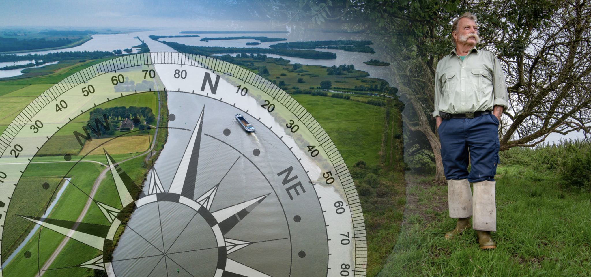
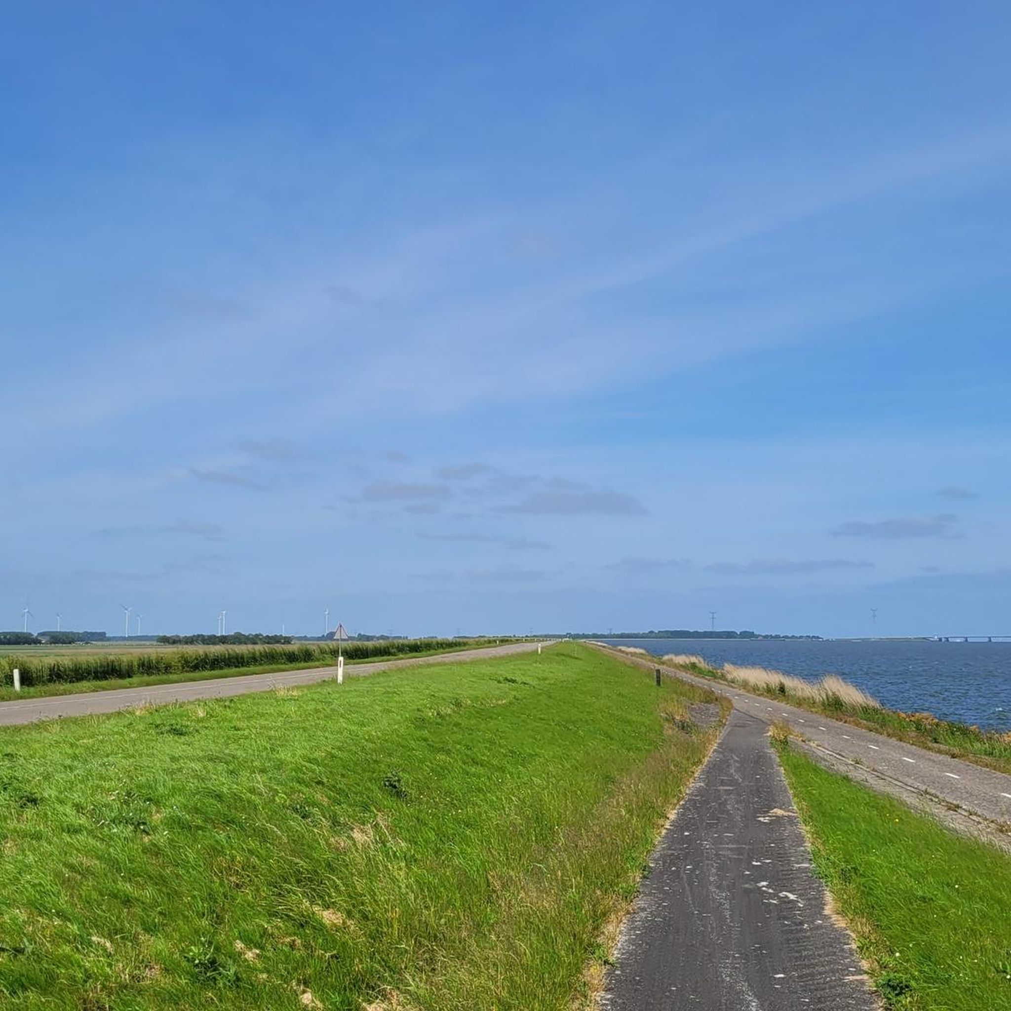
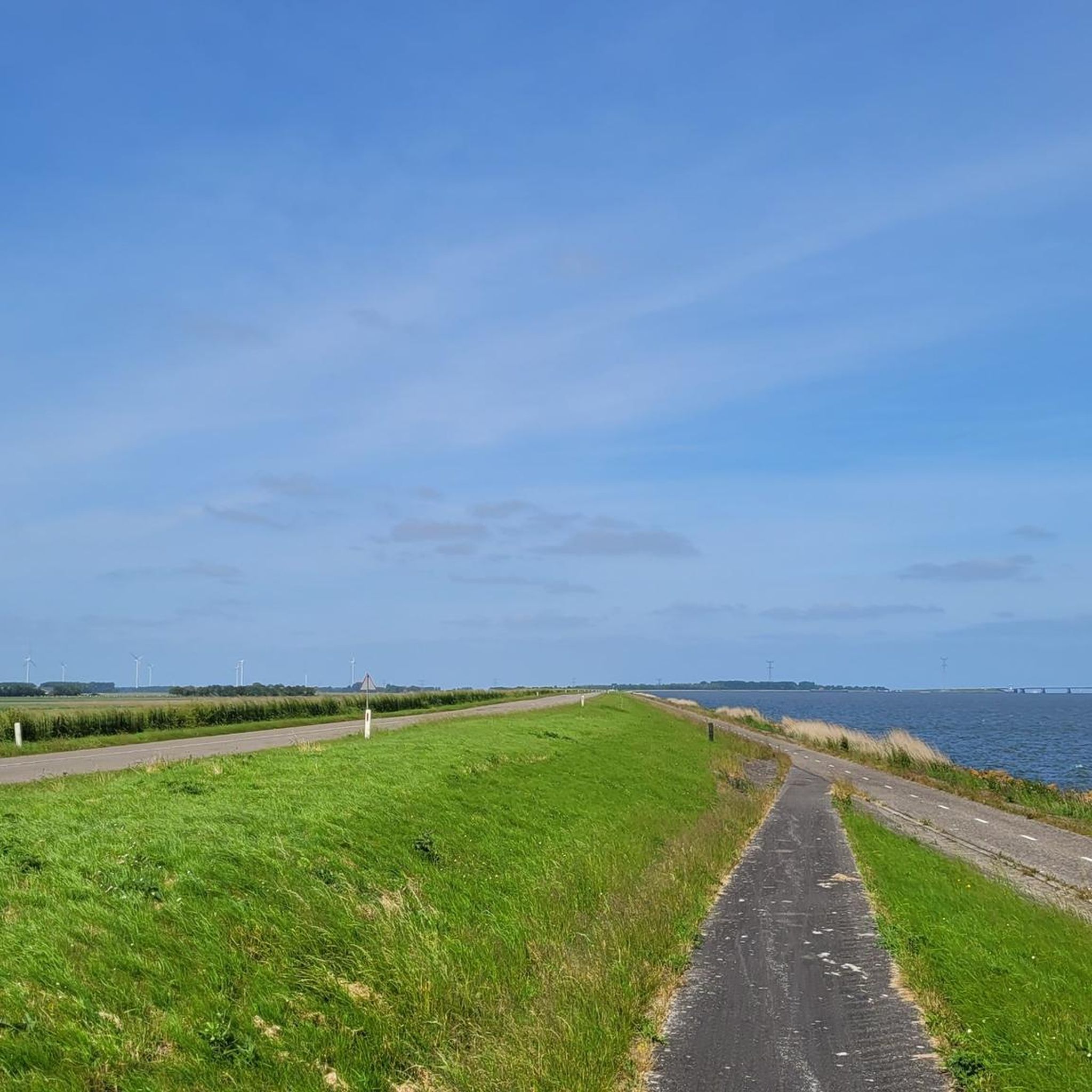
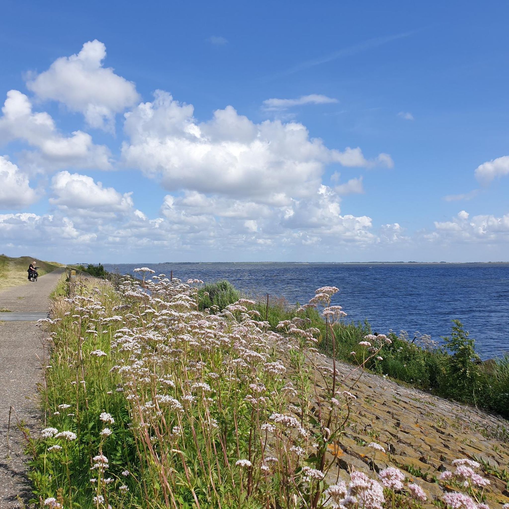
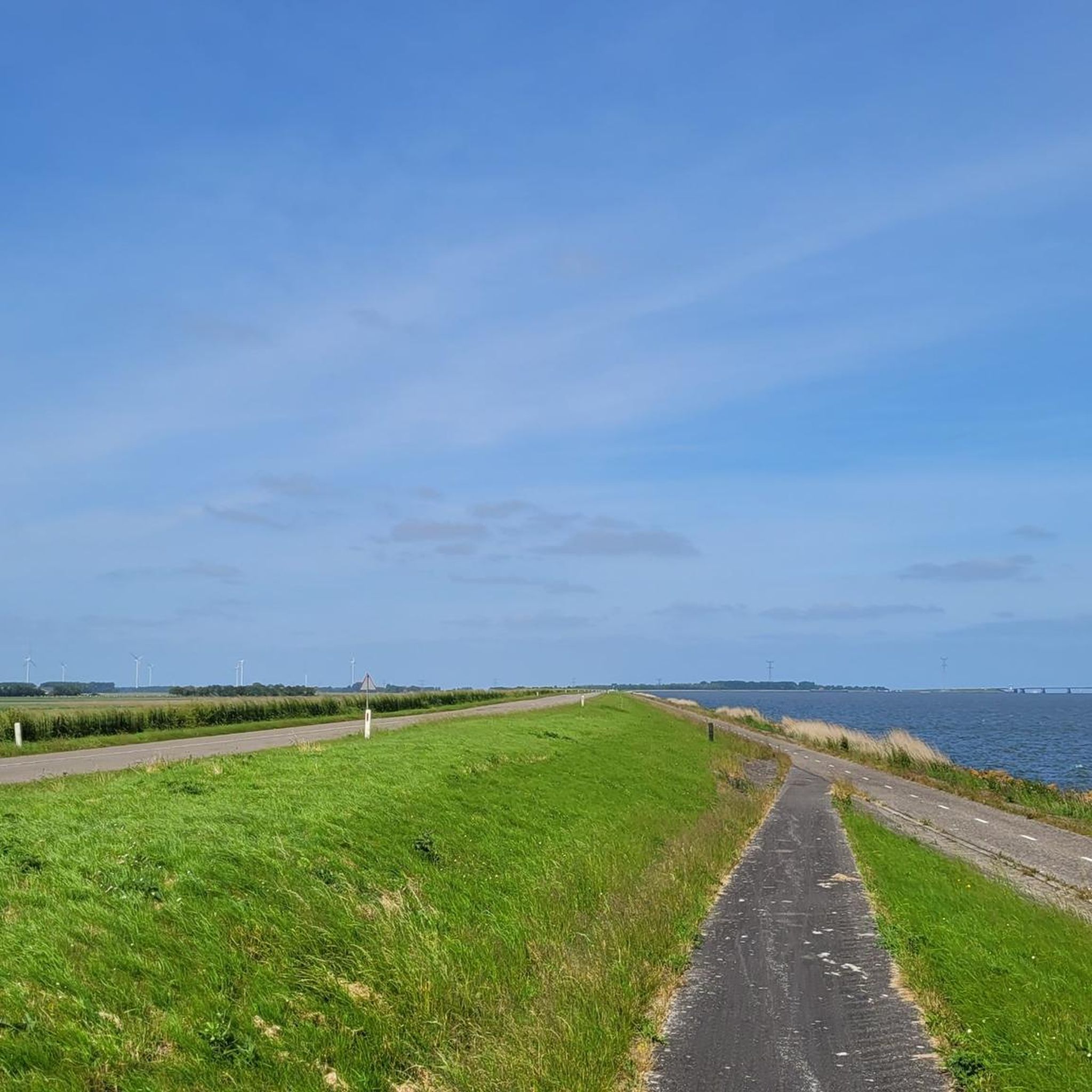
Jogging around Ketelmeer offers diverse routes through a unique marsh delta ecosystem, characterized by shallow waters and willow-overgrown islands. The region features distinctive polder landscapes with long, straight paths alongside waterways, providing expansive views. Runners can explore routes along the shores and dikes, connecting to larger water bodies. The terrain is generally flat, with minimal elevation changes, suitable for various running abilities.
Best jogging routes around Ketelmeer
- The most popular jogging route is Ramspol Storm Surge Barrier – Floodplains of…
Last updated: September 30, 2026
9
runners
5.28km
00:33
0m
0m
Moderate run. Good fitness required. Mostly paved surfaces. Suitable for all skill levels.
4
runners
Moderate run. Good fitness required. Mostly paved surfaces. Suitable for all skill levels.

5.0
(2)
63
runners
4.98km
00:31
10m
10m
Easy run. Great for any fitness level. Mostly paved surfaces. Suitable for all skill levels.
24
runners
9.29km
00:59
10m
10m
Moderate run. Good fitness required. Mostly paved surfaces. Suitable for all skill levels.
6
runners
5.54km
00:36
10m
10m
Moderate run. Good fitness required. Mostly paved surfaces. Suitable for all skill levels.
Get access to more routes and recommendations from other explorers.
Already have an account?
Our route recommendations are based on thousands of hikes, rides, and runs completed by other people on komoot.
Start today with a free account
Your next adventure awaits.
Other adventures around Ketelmeer

Tips from the Community

Beautiful exhibition, very interesting to learn about the past
0
0

Park at Schokkerringweg and then follow the Komoot hike to the Gesteentetuin and around the island.
0
0

A very informative and interesting cycle path. You just have to stop. 👍👍
0
0


Here the ring dike of the Noordoostpolder was closed in May 1940, after which the draining could begin.
0
0

amazing inflatable Dam, creating a safety barrier during high water and storms. The equipment is tested once a year in September.
0
0

Laage straight stretch, but with wonderful far-reaching views
1
0

Nice piece of hydraulic engineering management!
1
0
Frequently Asked Questions
How many running routes are available around Ketelmeer?
There are over 430 running routes available around Ketelmeer, catering to various skill levels. You'll find a wide selection of trails to explore, from easy paths to more challenging runs.
What is the general terrain like for running around Ketelmeer?
The terrain around Ketelmeer is generally flat, characterized by a unique marsh delta ecosystem with shallow waters and willow-overgrown islands. You'll often run along scenic dike paths and through distinctive polder landscapes, offering expansive views of the water and agricultural areas. Elevation changes are minimal, making it suitable for most runners.
What do other runners say about the jogging trails in Ketelmeer?
The running routes in Ketelmeer are highly rated by the komoot community, with an average score of 4.4 stars from over 80 reviews. Runners often praise the scenic views, the peaceful marsh delta environment, and the well-maintained paths along the dikes and polders.
Are there easy running routes suitable for beginners in Ketelmeer?
Yes, Ketelmeer offers a good selection of easy running routes perfect for beginners or those looking for a relaxed jog. There are nearly 50 easy routes available. For example, the View of the Old Quay Wall loop from Nagele is an easy 3.1-mile (4.9 km) path that provides scenic views without significant elevation.
Can I find circular running routes around Ketelmeer?
Yes, many of the running routes around Ketelmeer are designed as loops, allowing you to start and finish at the same point. This is ideal for exploring the area without needing to retrace your steps. Examples include the Ramspol Storm Surge Barrier – Floodplains of the IJssel loop from Ramspolbrug and the Roggebotzand loop from Uiterwaarden IJssel.
What natural features can I expect to see while jogging around Ketelmeer?
While jogging around Ketelmeer, you'll experience a unique marsh delta ecosystem with shallow waters and willow-overgrown islands. The region is known for its characteristic Dutch polder landscapes, offering expansive views of flat, agricultural lands and extensive waterways. It's a haven for various bird species, including ducks, waders, sea eagles, and ospreys, making it great for nature observation.
Are there any notable landmarks or points of interest along the running paths?
Yes, several notable landmarks enhance the running experience around Ketelmeer. You might encounter impressive structures like the Ketelmeer Bridge, a striking traffic artery, or the Ramspolbrug, a significant bascule bridge. The routes also offer views of the Ramsdiep - Zwarte Meer and the vast expanse of the Ketelmeer and Vossemeer itself.
Is parking available near the running trailheads in Ketelmeer?
While specific parking details vary by route, many popular running routes around Ketelmeer, especially those starting near bridges or recreational areas, typically have designated parking facilities nearby. It's advisable to check the individual route descriptions on komoot for precise parking information.
How can I reach the running routes around Ketelmeer using public transport?
Access to running routes around Ketelmeer via public transport can be limited, as many trails are in more natural or rural settings. However, some routes might be accessible from towns or villages with bus connections. For detailed public transport options, it's best to consult local transport schedules or check the starting points of specific routes on komoot.
Are the running trails around Ketelmeer suitable for families with children?
Many of the easier and shorter running routes around Ketelmeer are suitable for families, especially those with older children. The generally flat terrain and scenic views make for an enjoyable outing. Look for routes marked as 'easy' on komoot, such as the View of the Old Quay Wall loop from Nagele, which is a manageable distance.
Are dogs allowed on the jogging routes around Ketelmeer?
Generally, dogs are welcome on many outdoor trails in the Netherlands, but specific rules can vary by location, especially in nature reserves. It's usually required to keep dogs on a leash. Always check local signage or specific route information for any restrictions regarding dogs to ensure a pleasant experience for everyone.
What is the best time of year to go running in Ketelmeer?
The spring and autumn months are often considered ideal for running around Ketelmeer, with milder temperatures and beautiful natural scenery. Summer can also be pleasant, especially in the mornings or evenings, though it can get warm. Winter running is possible, but be prepared for colder temperatures and potentially wet or windy conditions, particularly along the open dikes.
Are there any cafes or restaurants near the running routes in Ketelmeer?
While the immediate vicinity of some trails might be more natural, you can often find cafes and restaurants in the nearby towns and villages surrounding Ketelmeer. These establishments provide opportunities for refreshments or a meal before or after your run. It's a good idea to plan your route to pass through or near these locations if you wish to stop for a break.
Most popular routes around Ketelmeer
Most popular attractions around Ketelmeer

Get inspired with the komoot mobile app


Explore more
Browse the best Running Trails & Routes in other regions.
