The best road cycling routes in San Benito County
4.8
(6)
289
riders
18
rides
Road cycling routes in San Benito County traverse a landscape characterized by fertile valleys, rolling hills, and agricultural expanses. The region features diverse terrain, from routes skirting reservoirs to those ascending into higher elevations. Many loop road bike routes in San Benito County offer varied gradients, providing options for different fitness levels. The area's physical features include open countryside and scenic viewpoints, making it suitable for extended rides.
Best road cycling routes in San Benito County
- The most popular road…
Last updated: May 11, 2026
4.0
(1)
41
riders
49.7km
02:06
300m
300m
Cycle a moderate 30.9-mile loop from Gilroy, enjoying picturesque views of Uvas and Chesbro Reservoirs through rolling grasslands.
5.0
(1)
27
riders
53.3km
02:50
550m
550m
Embark on a moderate road cycling adventure with the Coyote Reservoir & Gilroy Hot Springs loop from Gilroy. This route spans 33.1 miles (53.3 km) and involves a climb of…

Sign up for free
98.4km
05:35
1,770m
1,770m
This difficult 61.2-mile road cycling route from Gilroy climbs 5813 feet through redwood forests to coastal views in Eureka Canyon.
1
riders
127km
06:29
1,750m
1,750m
This difficult 79.1-mile road cycling loop from Gilroy features 5745 feet of climbing, passing Uvas Reservoir and Henry W. Coe State Park.
20
riders
86.8km
04:56
1,660m
1,660m
Hard road ride. Very good fitness required. Mostly well-paved surfaces and easy to ride.
5.0
(1)
36
riders
49.7km
02:28
480m
480m
Moderate road ride. Good fitness required. Mostly well-paved surfaces and easy to ride.
37
riders
89.0km
03:53
490m
490m
Moderate road ride. Good fitness required. Mostly well-paved surfaces and easy to ride.
24
riders
45.7km
01:54
190m
190m
Easy road ride. Great for any fitness level. Mostly well-paved surfaces and easy to ride.
14
riders
27.8km
01:38
630m
630m
Moderate road ride. Good fitness required. Mostly well-paved surfaces and easy to ride.
5.0
(2)
10
riders
62.4km
03:01
620m
620m
Moderate road ride. Good fitness required. Mostly well-paved surfaces and easy to ride.
Get access to more routes and recommendations from other explorers.
Sign up for free
Already have an account?
Our route recommendations are based on thousands of hikes, rides, and runs completed by other people on komoot.
Start today with a free account
Your next adventure awaits.
Login or Signup
Tips from the Community


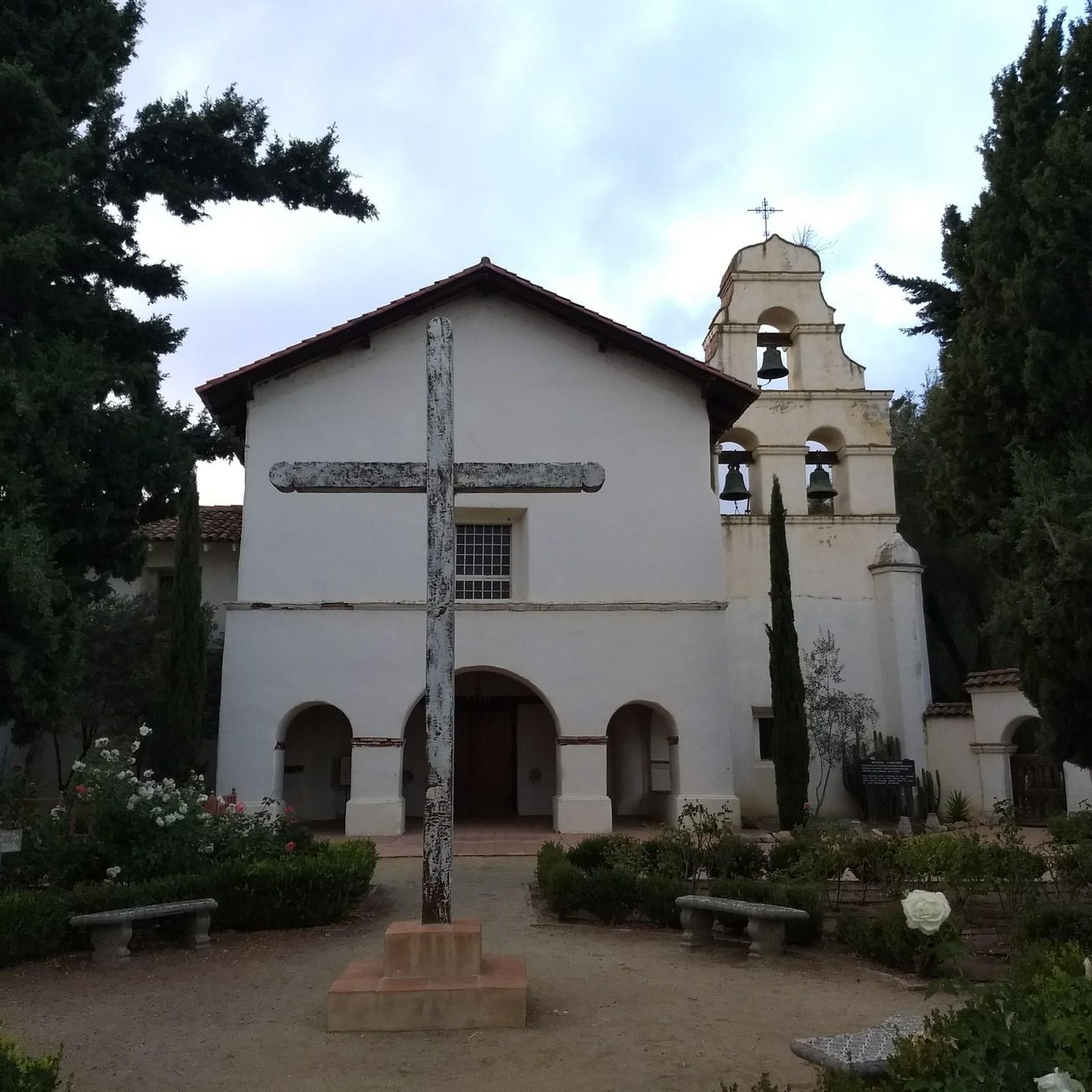
This narrow, winding road snakes its way up from Gilroy to Mount Madonna State Park. Don't expect a lot of traffic, but also don't expect a lot of room as the road gets progressively more narrow the higher you get. That being said it is a beautiful ride and well worth the effort.
0
0

Sand City, California, a small city, is home to the scenic Sand City Beach. Once an industrial area, the dunes west of Highway 1 are now protected as part of the Eolian Dunes Preserve. The Sand City Beach Trail runs through the dunes, offering access to trails for hiking, biking, and leash pets. Sand City Beach is a top spot for beachcombing, especially for finding colorful sea glass, though walking barefoot is risky due to sharp edges.
0
0

The Del Monte Lake Trail is a part of the Monterey Bay Coastal Trail. This wide, paved, multi-use path takes you along the scenic coastline past the famous Monterey beaches. This is a fantastic bit of riding on a traffic-free path.
0
0

The Monterey Bay Coastal Recreation Trail is a 19-mile-long trail that hugs the coast from Castroville to Monterey Bay. This section is a beautiful stretch near Sand City and gives you wonderful views of the water. The trail is paved and is popular with cyclists and walkers.
1
0

This section is delightful. Smooth tarmac, decent grades, and stunning views. I climbed it on my way to SJB but I can imagine the descent is even nicier.
0
0

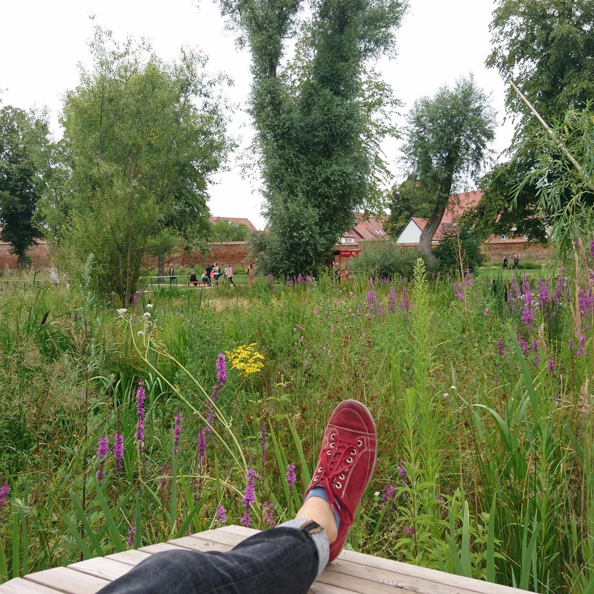
Uvas Creek is a 29.5 mile long creek that originates in the Santa Cruz Mountains and flows eastward through Santa Clara County. In this particular spot, you can run along a well-paved multi-use path that follows along the creek all the way until you turn back at Hecker Pass Highway.
0
0
Frequently Asked Questions
How many road cycling routes are available in San Benito County?
San Benito County offers a diverse network of over 20 road cycling routes, catering to various skill levels from easy to difficult.
What is the best time of year for road cycling in San Benito County?
Road cycling in San Benito County is enjoyable for much of the year. Spring and fall generally offer the most pleasant temperatures, while summers can be warm, especially in the valleys. Winters are typically mild, making year-round cycling possible with appropriate gear.
Are there easy road cycling routes suitable for beginners in San Benito County?
Yes, San Benito County has several easy road cycling routes. For a gentle ride, consider the Old Gilroy Street loop from Gilroy, which is an easy 22.8-mile route with minimal elevation gain.
Which routes offer significant climbs for a challenging road cycling experience?
For a challenging ride with substantial climbs, the Eureka Canyon ride from Gilroy is a difficult 61.2-mile route featuring over 5,800 feet of elevation gain. Another demanding option is San Juan Batista – Fremont Peak Summit loop from San Miguel Canyon Rd / Hall, covering 53.9 miles with over 5,400 feet of ascent.
What kind of scenery can I expect on road cycling routes in San Benito County?
Road cycling routes in San Benito County showcase a variety of landscapes, including fertile agricultural valleys, rolling hills, and scenic views of reservoirs. Many routes offer open countryside vistas and panoramic viewpoints.
Are there any loop road cycling routes in San Benito County?
Yes, many road cycling routes in the region are loops. Popular loop options include the Uvas and Chesbro Reservoirs loop from Gilroy and the Coyote Reservoir & Gilroy Hot Springs loop from Gilroy.
What do other road cyclists say about the routes in San Benito County?
The road cycling routes in San Benito County are highly rated by the komoot community, with an average score of 4.75 stars from 5 reviews. Cyclists often praise the varied terrain, scenic beauty, and the options available for different ability levels.
Are there any attractions or points of interest along the road cycling routes?
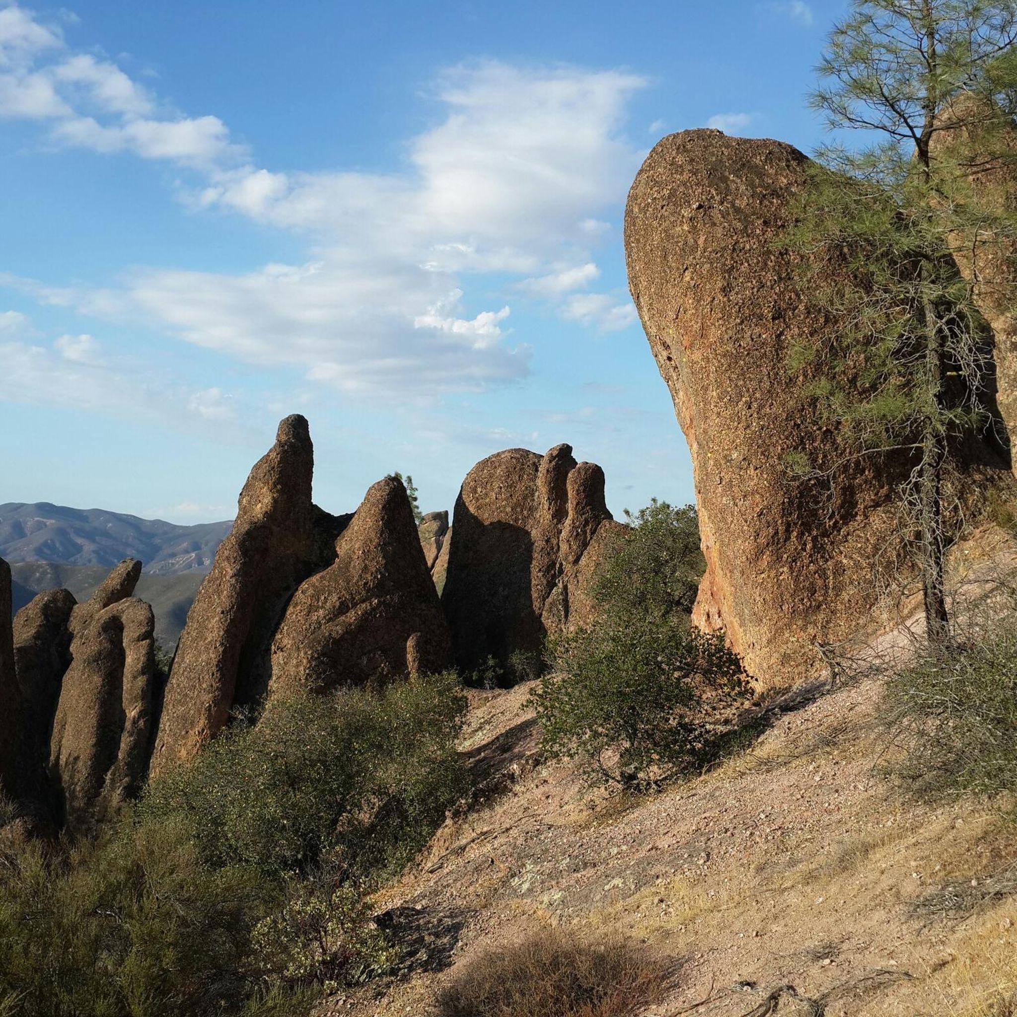
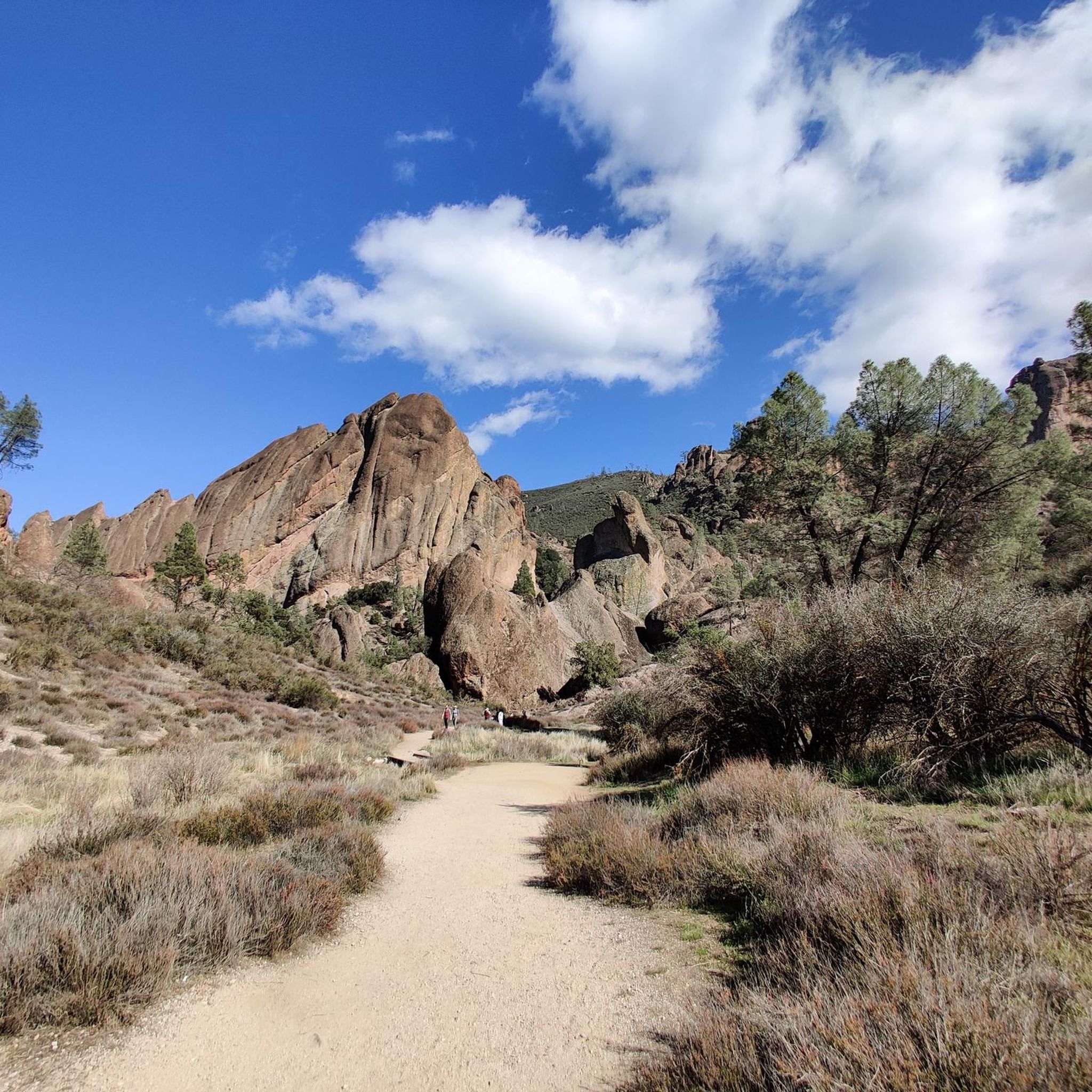
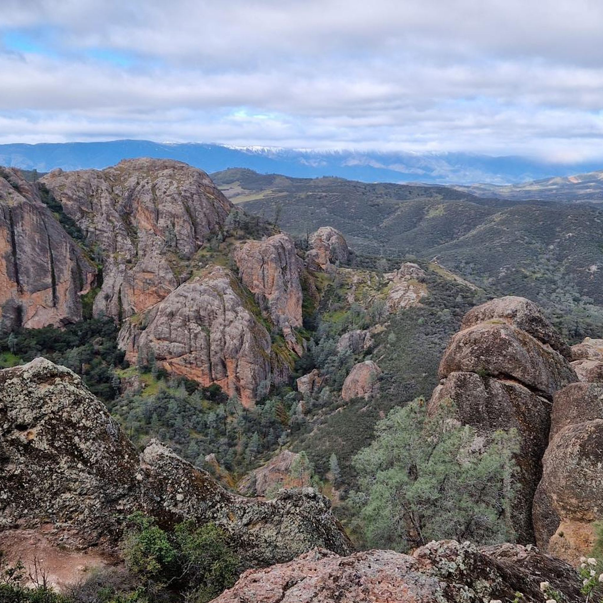
While many routes focus on the open road, some pass near natural attractions. For example, you might find yourself close to areas like Bear Gulch Cave or the High Peaks area, which are popular for exploration off the bike. These are typically found within nearby natural parks.
What is the typical length and duration of road cycling routes in San Benito County?
Routes vary significantly in length and duration. You can find moderate routes like the Uvas and Chesbro Reservoirs loop from Gilroy, which is about 30.9 miles and takes around 2 hours. Longer, more challenging routes, such as The Tierra Bella Bicycle Tour loop from Gilroy, can extend to 79 miles and take over 6 hours to complete.
Where are common starting points or trailheads for road cycling in San Benito County?
Many popular road cycling routes in San Benito County originate from towns such as Gilroy, Hollister, and San Juan Bautista. These locations often provide convenient access and amenities for cyclists.
Are there moderate road cycling routes that offer a good balance of challenge and scenery?
Yes, San Benito County has a good selection of moderate routes. The Lovers Point Beach – Salinas River crossing loop from Prunedale is a moderate 55.2-mile route, offering a balanced ride through varied landscapes.
Can I find routes that pass through historic areas or downtowns?
For a route that includes historic elements, consider the Old Gilroy Street – Historic Downtown Gilroy loop from Gilroy. This moderate 30.9-mile route takes you through parts of historic downtown Gilroy.
Most popular routes in San Benito County
Most popular attractions in San Benito County

Get inspired with the komoot mobile app


Didn’t find what you were looking for?
Check out more Road cycling routes throughout San Benito County below and find the perfect route in your destination.
Explore more
Browse the best Road cycling routes in other regions.
