
The best road cycling routes in Perry County
4.0
(2)
62
riders
7
rides
Road cycling in Perry County features a network of routes across varied terrain. The region offers a mix of rural roads and loops around local landmarks. Cyclists can expect routes that traverse open landscapes and areas near small communities. The elevation profiles indicate rolling hills, providing diverse experiences for different fitness levels.
Best road cycling routes in Perry County
- The most popular road cycling route is Roadbike loop from Conway Fire Department Station 5, a 33.2 miles (53.5 km)…
Last updated: July 27, 2026
4.0
(2)
16
riders
45.8km
02:03
210m
210m
Moderate road ride. Good fitness required. Mostly well-paved surfaces and easy to ride.
13
riders
30.9km
01:33
150m
150m
Easy road ride. Great for any fitness level. Mostly well-paved surfaces and easy to ride.

Sign up for free
5
riders
63.9km
02:46
240m
240m
Moderate road ride. Good fitness required. Mostly well-paved surfaces and easy to ride.
4
riders
24.5km
01:16
300m
300m
Moderate road ride. Good fitness required. Mostly well-paved surfaces and easy to ride.
4
riders
29.5km
01:30
350m
350m
Moderate road ride. Good fitness required. Mostly well-paved surfaces and easy to ride.
3
riders
Easy road ride. Great for any fitness level. Mostly well-paved surfaces and easy to ride.
Our route recommendations are based on thousands of hikes, rides, and runs completed by other people on komoot.
Start today with a free account
Your next adventure awaits.
Login or Signup
Popular around Perry County
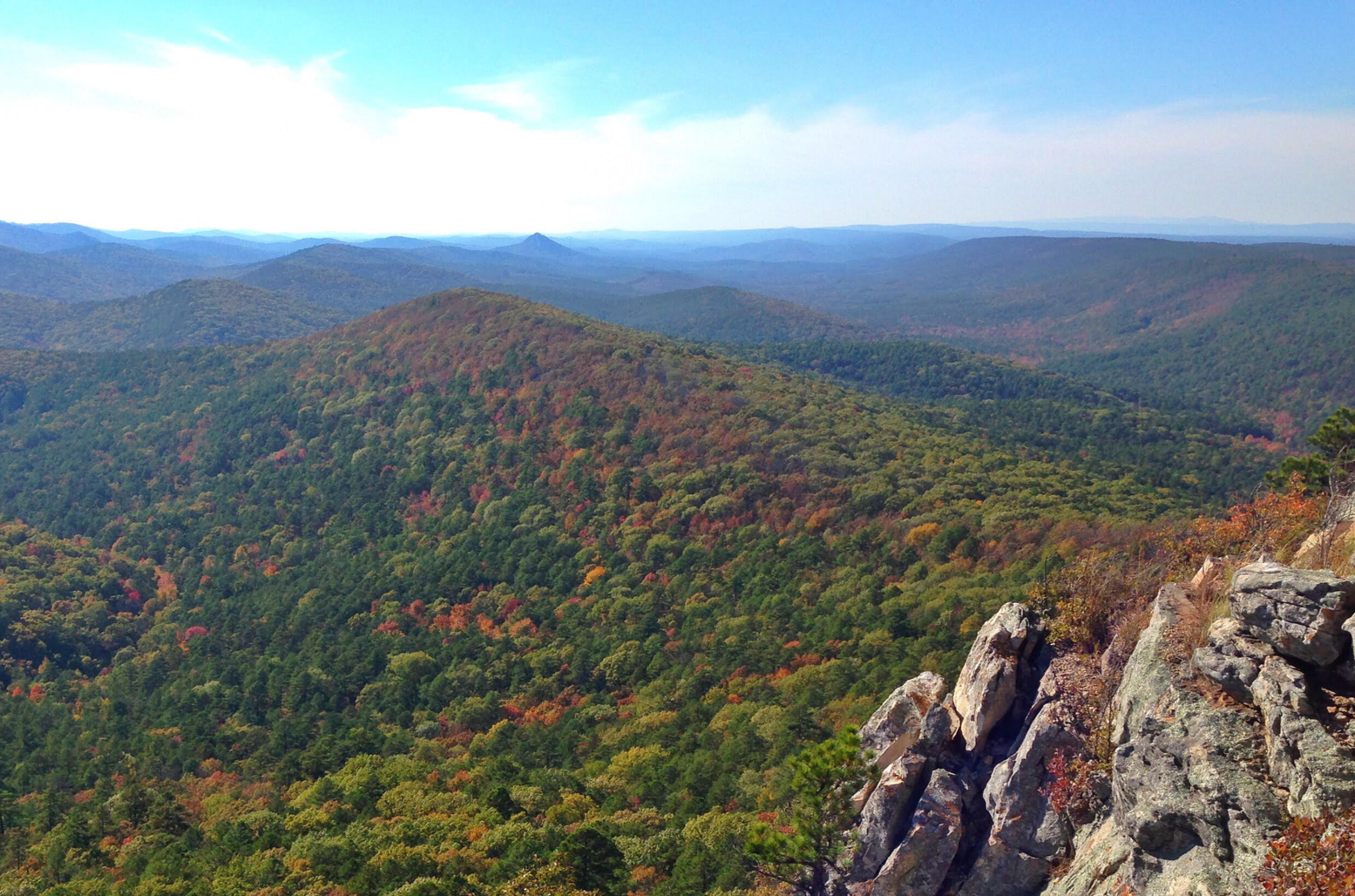
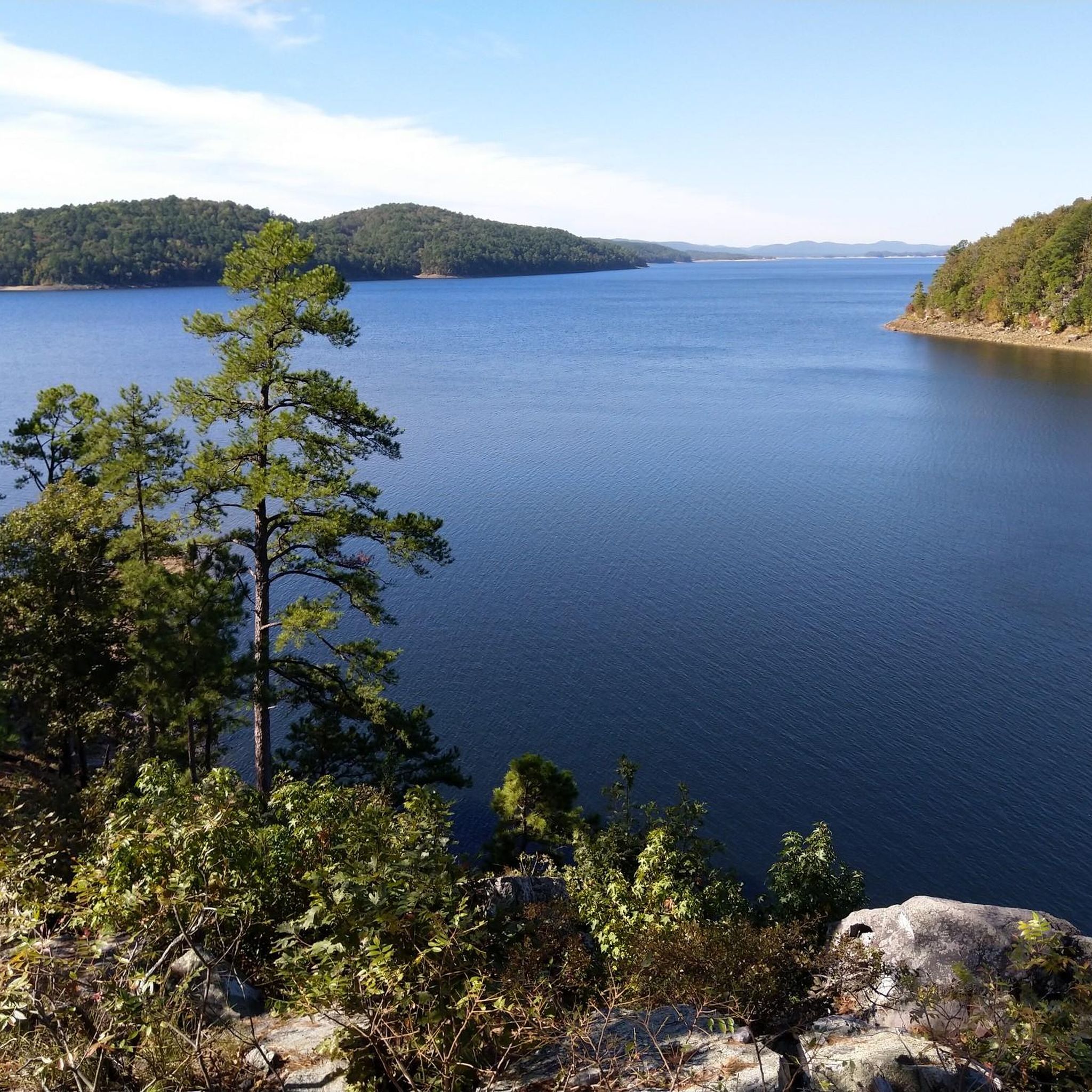

Other adventures in Perry County

Frequently Asked Questions
What kind of terrain can I expect on road cycling routes in Perry County?
Perry County offers a diverse landscape for road cycling, characterized by rolling hills, valleys, and woodlands. You'll find routes traversing open rural roads and scenic byways, including sections along the Ohio River. The elevation profiles generally indicate a mix of gentle and more challenging climbs, providing varied experiences for different fitness levels.
Are there easy road cycling routes suitable for beginners or families in Perry County?
Yes, Perry County has several easy road cycling routes. For a relaxed ride, consider the Roadbike loop from Jim Stone Elementary School, an easy 22.8-mile path. Another accessible option is the Winrock Farms Lake – Lake Amanda loop from Oppelo, which is 10.6 miles long and also rated easy.
What are some longer or more challenging road cycling routes in Perry County?
For those seeking a longer or more moderate challenge, the Roadbike loop from Conway Fire Department Station 5 is a moderate 33.2-mile route. Another moderate option is the Palisades Overlook loop from Pontoon, which covers 15.2 miles through varied terrain and includes some notable elevation changes.
How many road cycling routes are available in Perry County?
There are over 7 distinct road cycling routes documented in Perry County, offering a range of distances and difficulty levels. These include 3 easy routes and 4 moderate routes, ensuring options for various cycling preferences.
Are there any circular road cycling routes in Perry County?
Most of the road cycling routes in Perry County are designed as loops, allowing you to start and finish at the same point. Examples include the Roadbike loop from Conway Municipal Airport at Cantrell Field and the Roadbike loop from Conway, both offering convenient circular journeys.
What natural attractions or scenic views can I find along road cycling routes in Perry County?
Perry County is rich in natural beauty. Many routes offer views of the Ohio River, especially along the Indiana's Ohio River Scenic Byway. You might also encounter landscapes within the Hoosier National Forest, featuring hardwood forests and interesting rock outcrops. The region's rolling hills and bluffs provide dramatic scenery and picturesque vistas.
What do other cyclists say about road cycling in Perry County?
The road cycling routes in Perry County are highly rated by the komoot community, with an average score of 4.0 stars from over 2 reviews. Cyclists often praise the varied terrain, the rural roads, and the scenic beauty of the area.
When is the best time of year for road biking in Perry County?
The spring and fall months generally offer the most pleasant conditions for road biking in Perry County, with milder temperatures and beautiful foliage. Summer can also be enjoyable, though it's advisable to ride earlier in the day to avoid the peak heat. Winter cycling is possible, but conditions can vary, and some roads might be affected by ice or snow.
Are there any specific landmarks or points of interest to look out for while cycling?
While cycling, you'll pass through areas with historical towns like Tell City and Cannelton along the Ohio River. The routes also offer glimpses of the Hoosier National Forest, which encompasses lakes like Tipsaw Lake and Indian-Celina Lake. Keep an eye out for the unique bluffs overlooking the Ohio River, which provide dramatic scenery.
Where can I find parking for road cycling routes in Perry County?
Many routes in Perry County start near community hubs or public facilities, which often provide parking. For example, the Roadbike loop from Jim Stone Elementary School and the Roadbike loop from Conway Fire Department Station 5 suggest starting points where parking may be available. It's always recommended to check local parking regulations before your ride.
Are there any road cycling routes that pass through the Hoosier National Forest?
Yes, Perry County's proximity to the Hoosier National Forest means that some road cycling routes will take you through or near its scenic landscapes. While specific road routes within the forest are not detailed in the guide, the region's overall character is heavily influenced by the forest, offering a sense of riding through rugged terrain and hardwood forests.

Get inspired with the komoot mobile app


Explore more
Browse the best Road cycling routes in other regions.
