The best walks and hikes around Campo Nijar Y Bajo Andarax
4.5
(3413)
14,866
hikers
347
hikes
Hiking around Campo Nijar Y Bajo Andarax offers diverse landscapes, from volcanic coastlines and hidden coves to arid deserts and mountain ranges. The region is characterized by the Cabo de Gata-Níjar Natural Park, known for its cliffs and unique biodiversity, and the Tabernas Desert, featuring eroded desert terrain. These areas provide a variety of hiking opportunities across different geological formations and ecosystems.
Best hiking trails around Campo Nijar Y Bajo Andarax
- The most popular hiking route is Natural Park of…
Last updated: July 21, 2026
4.6
(161)
584
hikers
10.5km
03:13
210m
210m
Moderate hike. Good fitness required. Mostly accessible paths. Sure-footedness required.
4.6
(92)
279
hikers
9.19km
02:32
130m
130m
Moderate hike. Good fitness required. Mostly accessible paths. Sure-footedness required.

Sign up for free
4.6
(39)
178
hikers
16.6km
04:39
310m
310m
Moderate hike. Good fitness required. Mostly accessible paths. Sure-footedness required.
4.7
(56)
160
hikers
Moderate hike. Good fitness required. Easily-accessible paths. Suitable for all skill levels.
4.5
(26)
106
hikers
8.28km
02:26
230m
230m
Moderate hike. Good fitness required. Easily-accessible paths. Suitable for all skill levels.
4.6
(36)
109
hikers
9.91km
03:11
420m
420m
Moderate hike. Good fitness required. Easily-accessible paths. Suitable for all skill levels.
4.4
(14)
64
hikers
13.6km
04:03
340m
340m
Moderate hike. Good fitness required. Mostly accessible paths. Sure-footedness required.
3.6
(19)
86
hikers
13.1km
03:17
20m
20m
Moderate hike. Good fitness required. Easily-accessible paths. Suitable for all skill levels.
4.6
(16)
65
hikers
13.7km
03:48
250m
250m
Moderate hike. Good fitness required. Easily-accessible paths. Suitable for all skill levels.
4.5
(19)
71
hikers
Easy hike. Great for any fitness level. Easily-accessible paths. Suitable for all skill levels.
Get access to more routes and recommendations from other explorers.
Sign up for free
Already have an account?
Our route recommendations are based on thousands of hikes, rides, and runs completed by other people on komoot.
Start today with a free account
Your next adventure awaits.
Login or Signup
Popular around Campo Nijar Y Bajo Andarax
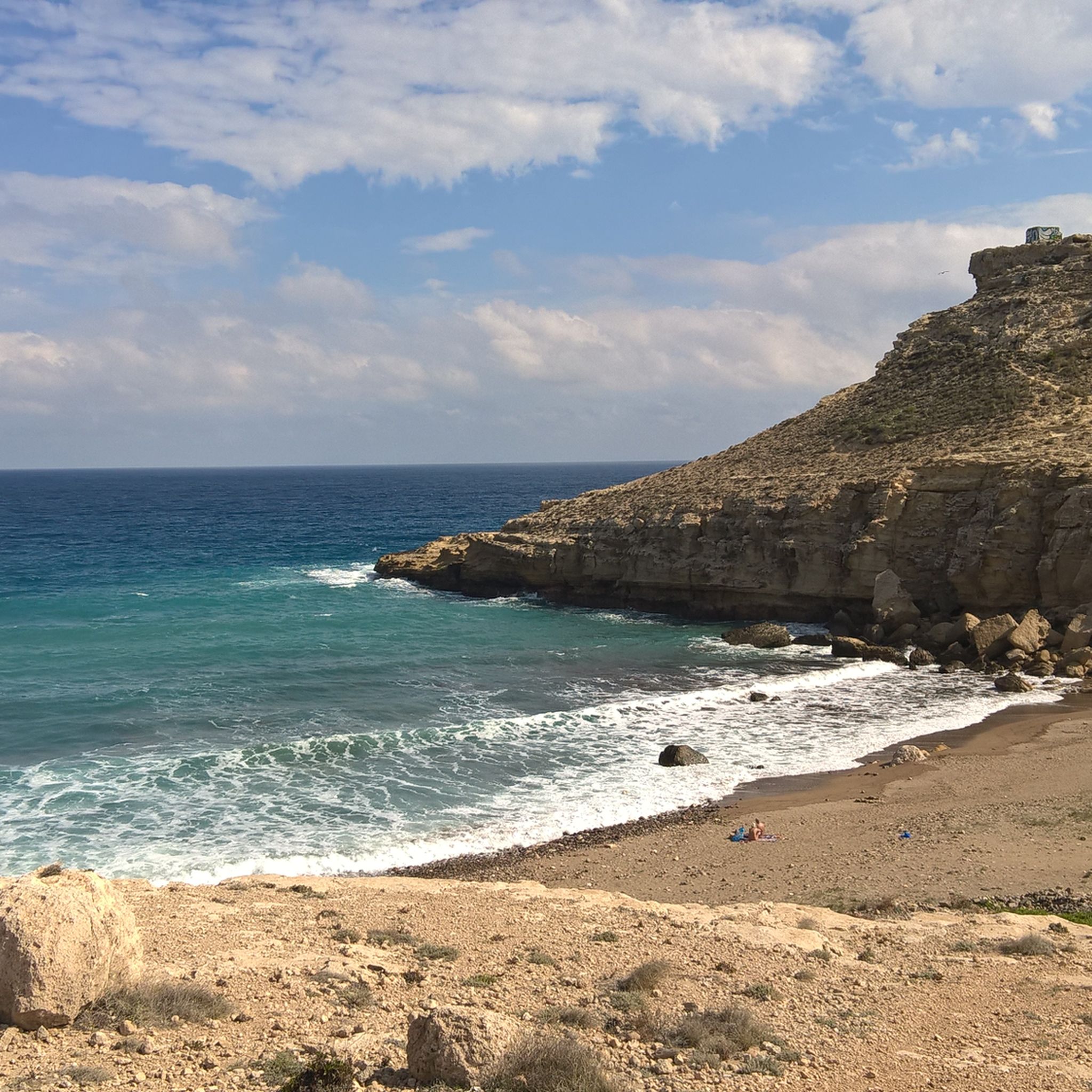
Hiking in Cabo De Gata-Níjar
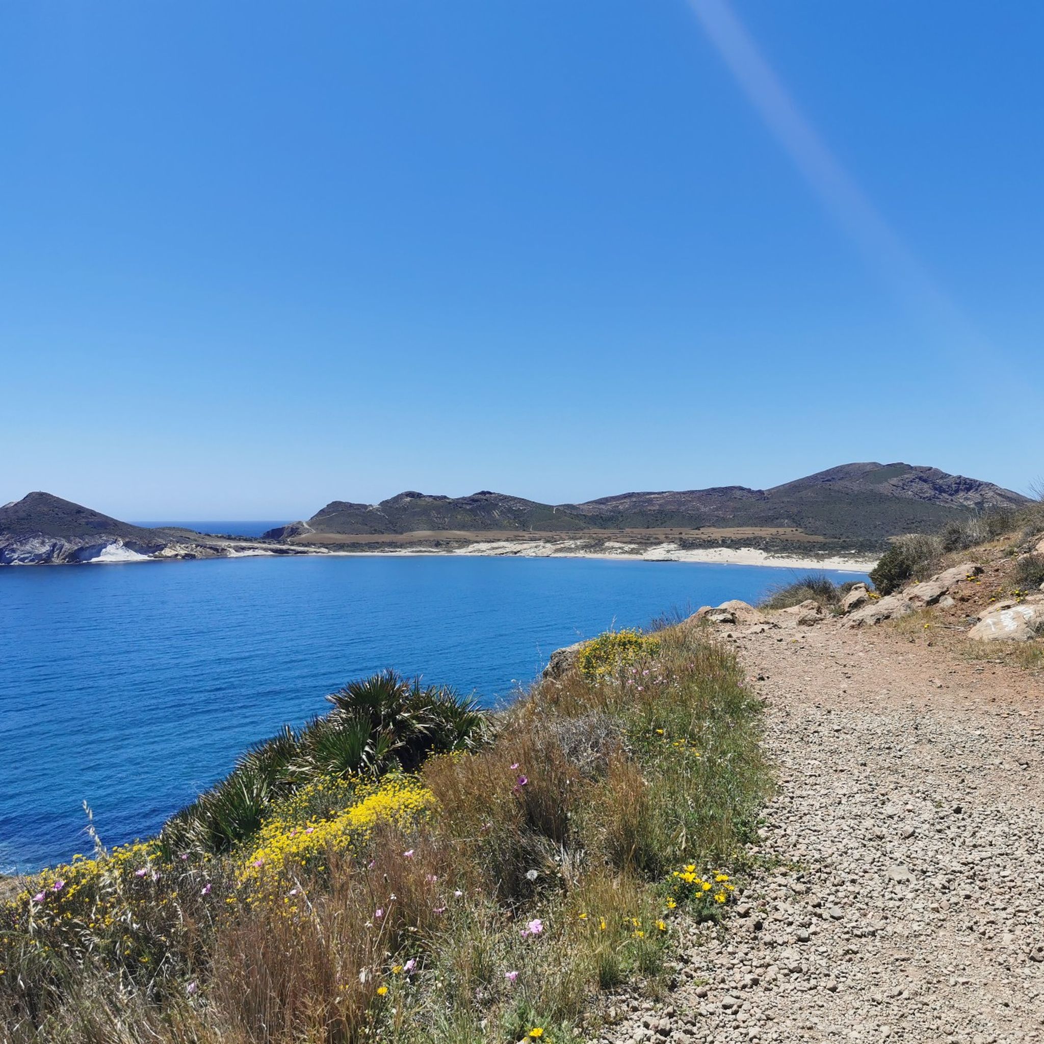
Hiking in Cabo De Gata-Nijar
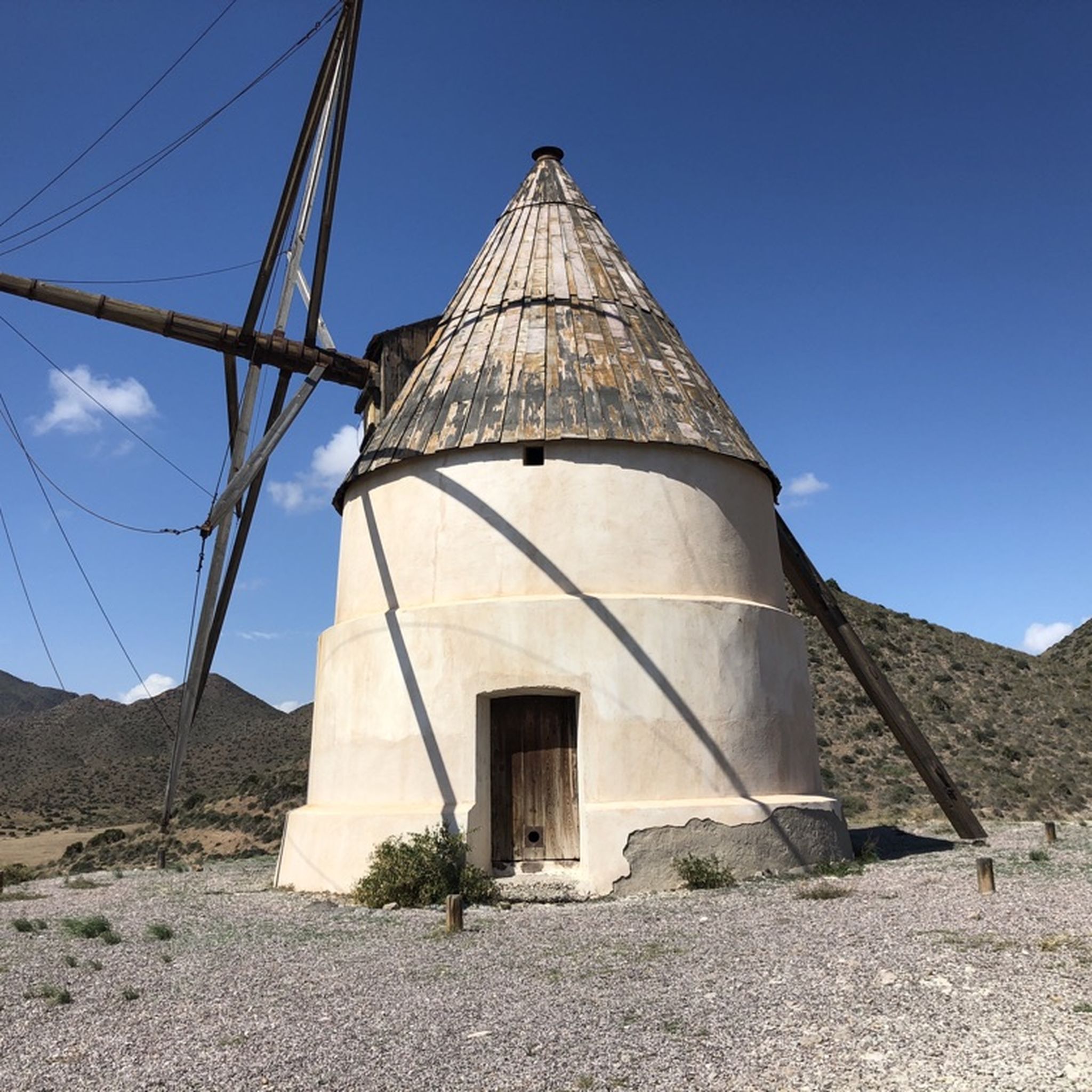
Hiking around National Park Cabo de Gata-Níjar
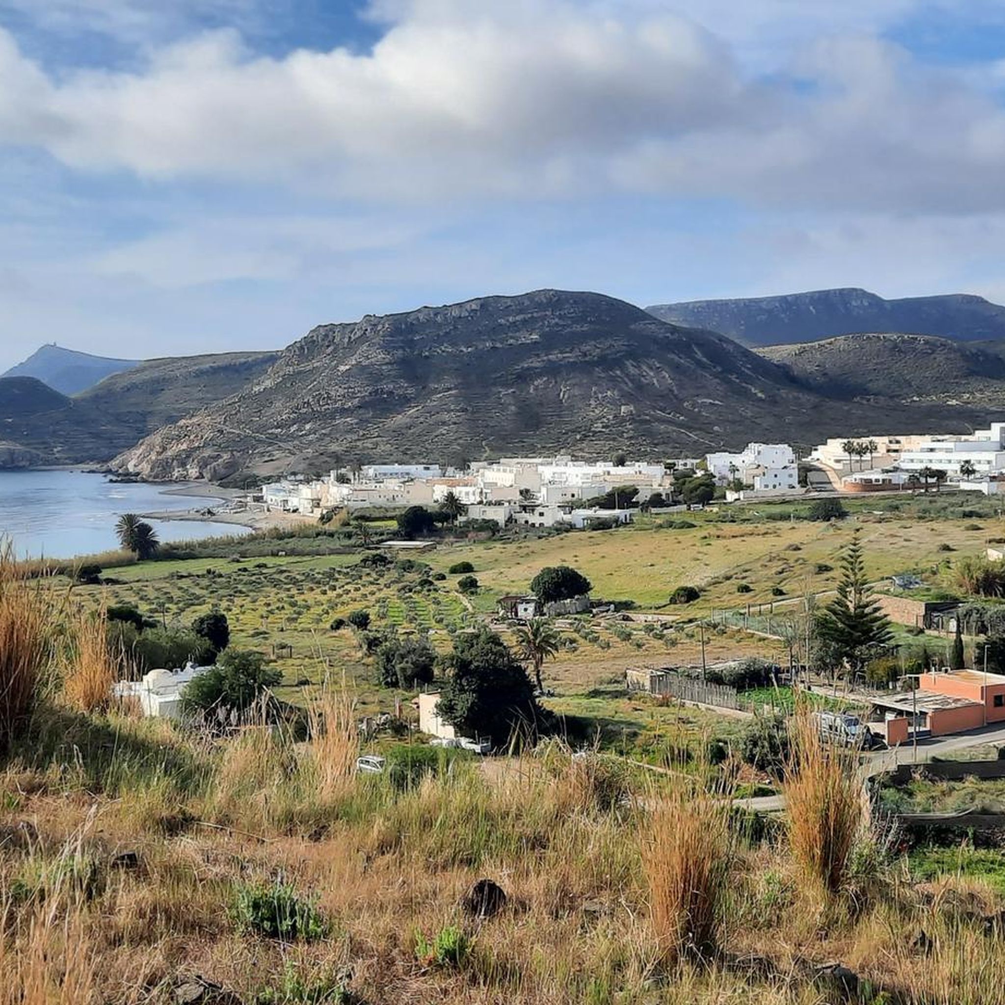
Hiking around Níjar
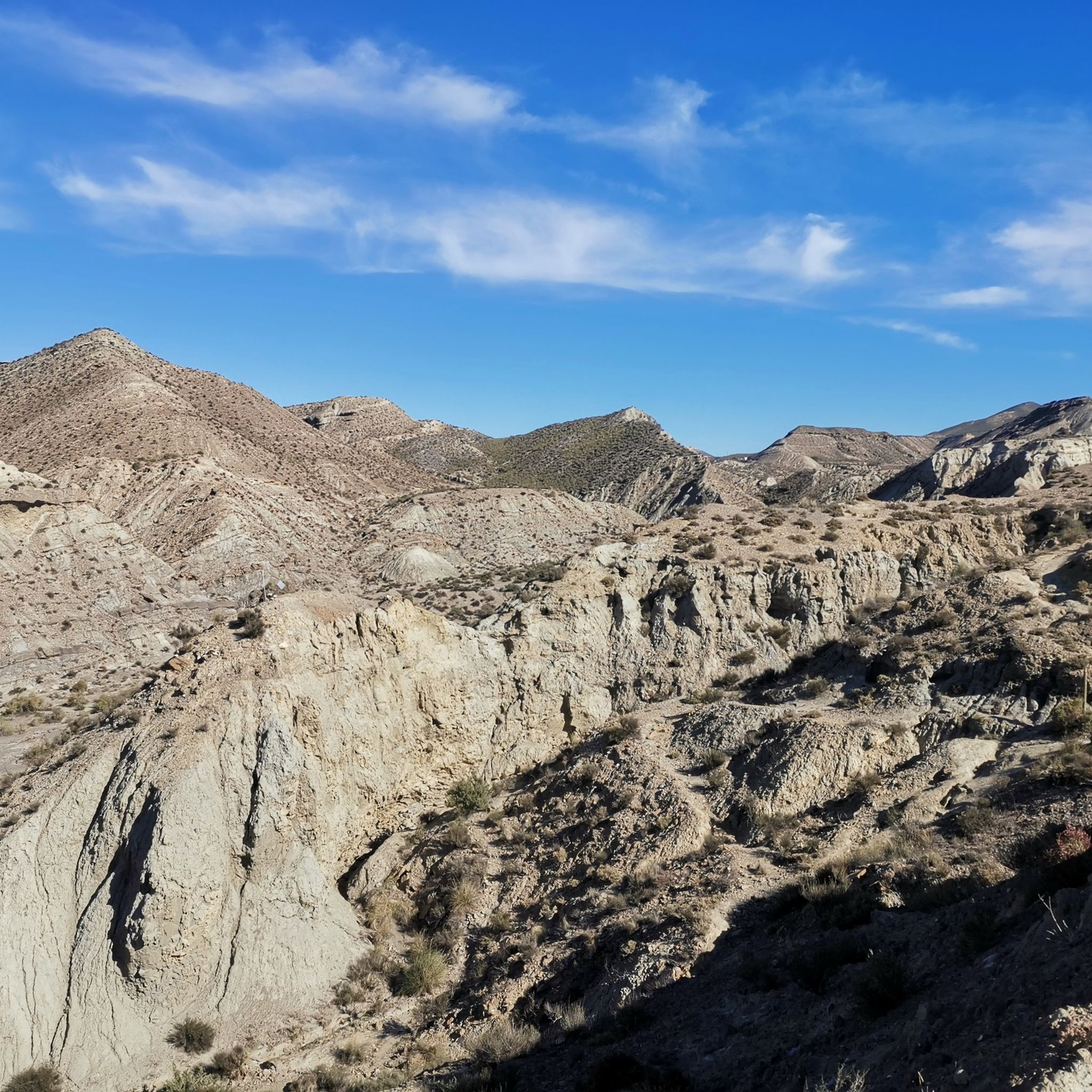
Hiking in Ramblas De Gergal, Tabernas Y Sur De Sierra Alhamilla
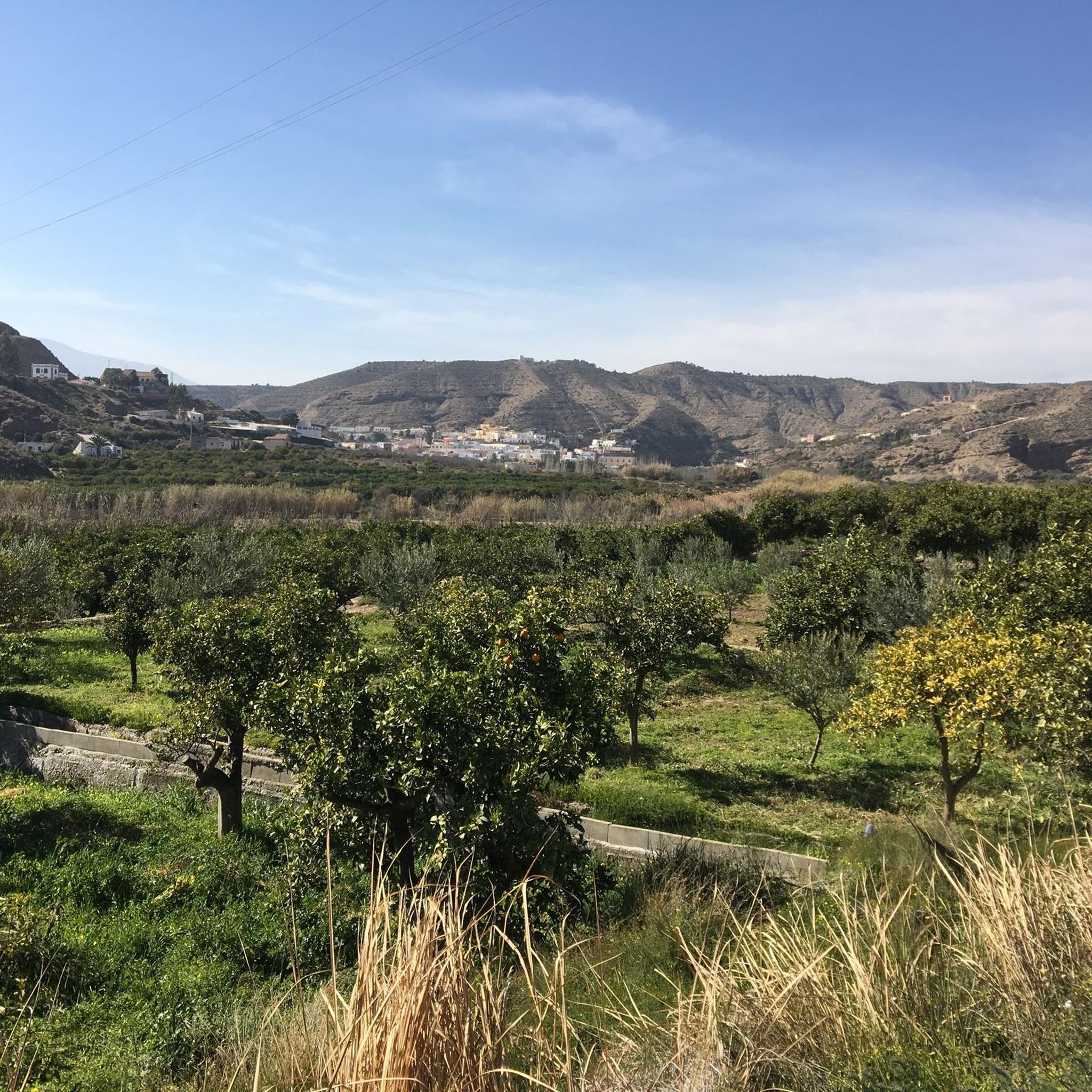
Hiking around Santa Fe De Mondújar
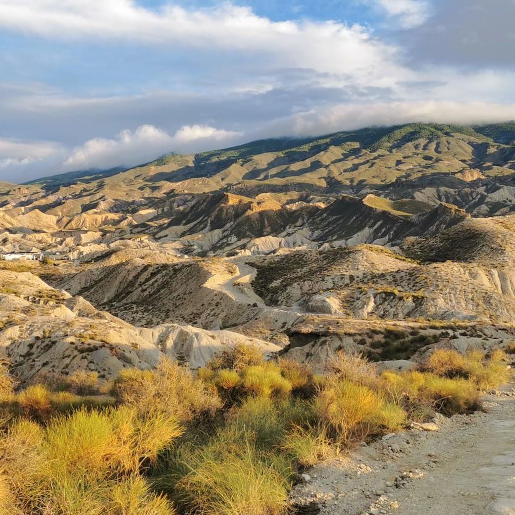
Hiking around Gádor
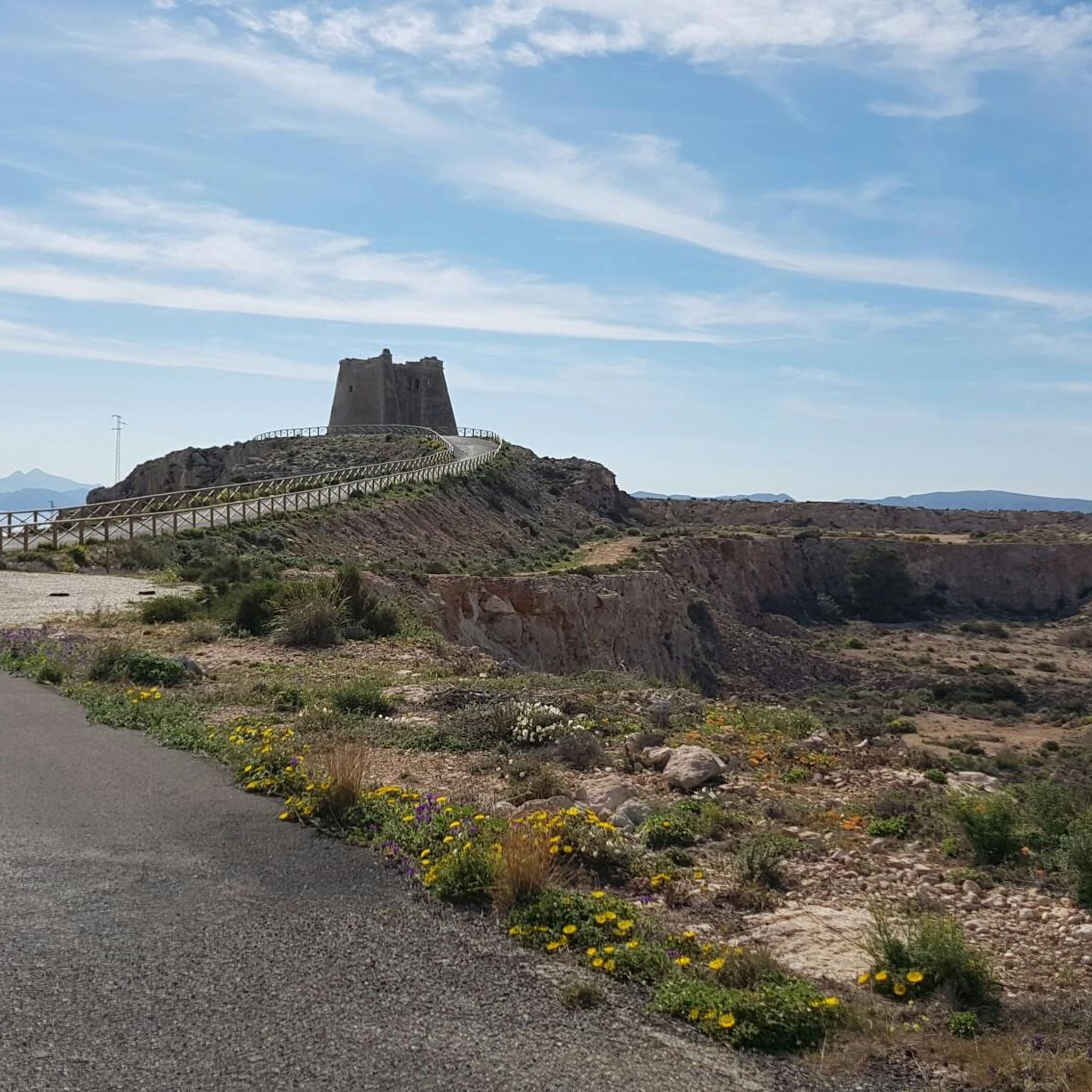
Hiking around Carboneras
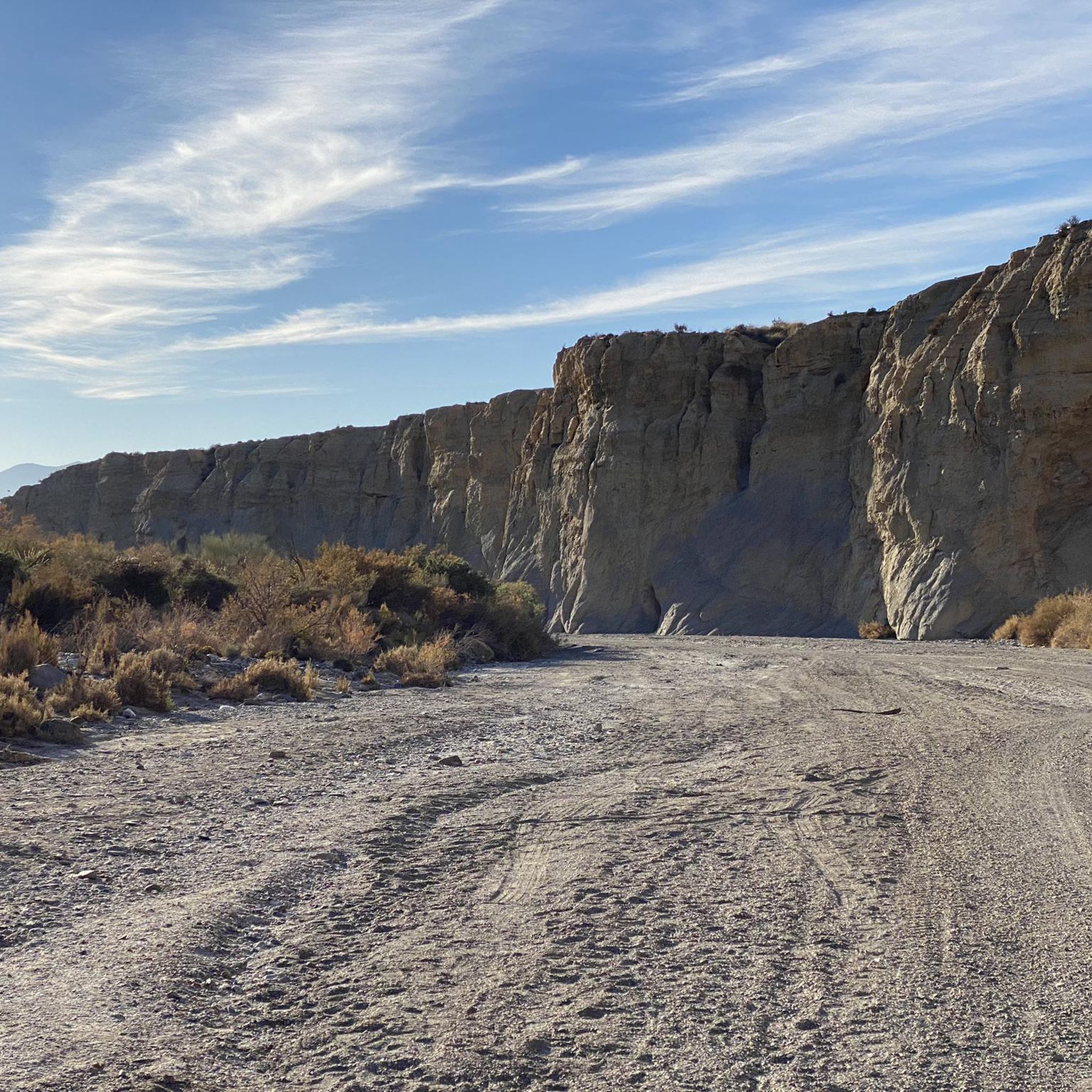
Hiking around Rioja
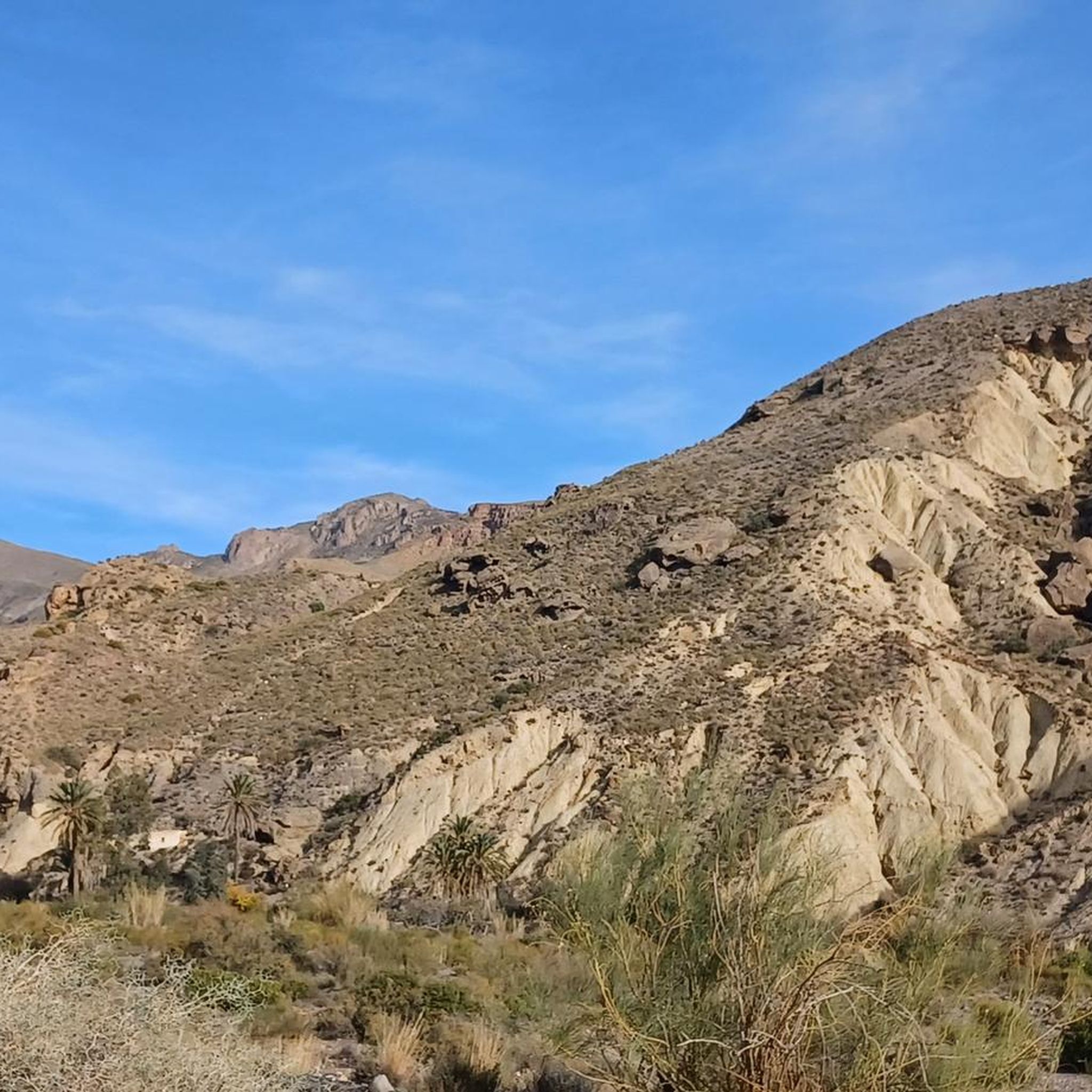
Hiking around Pechina
Other adventures around Campo Nijar Y Bajo Andarax


Tips from the Community

A delight of views from here.
2
0
A few meters from the Las Sirenas viewpoint.
0
0

The reef formations that rise above the water are ancient volcanic chimneys, and their dark color comes from the material they expelled. From the lookout, you can see the area's steep cliffs, and below, the water surrounding the reef is crystal clear, allowing you to admire the mosaic of the seabed, which colors the sea with turquoise, green, and all shades of blue.
13
1
It's located right at the easternmost point of southern Spain. The place likely owes its name to the monk seals that once inhabited this reef, which ancient sailors may have mistaken for mermaids; these mammals no longer live on the coast of Cabo de Gata. (And unfortunately, I didn't see any mermaids either...)
14
0

Wear booties. Rocky trail, and bring back any trash you generate. It weighs less than when you wear it.
2
0

La Isleta del Moro is one of the most picturesque and authentic spots in the Cabo de Gata-Níjar Natural Park in Almería. This small fishing village preserves its traditional essence and offers a spectacular natural setting.
4
0
The Molino de los Genoveses, also known as the Molino del Collado de los Genoveses, is a prominent ethnographic site located in the Cabo de Gata-Níjar Natural Park, near the famous Playa de los Genoveses. This windmill was traditionally used to grind grains such as wheat, barley, and corn, reflecting the cereal-producing nature of the area. Its construction fits the typical typology of the park: a truncated cone tower made of masonry and lime, divided into three sections. It was renovated in 2007 and is now a point of interest on the Los Genoveses trail.
8
0

Standing all alone and abandoned on the street 🤭
1
0
Frequently Asked Questions
What kind of terrain can I expect when hiking in Campo Níjar y Bajo Andarax?
The region offers incredibly diverse terrain. You'll find volcanic coastlines with impressive cliffs and hidden coves, arid desert landscapes with unique rock formations in the Tabernas Desert, and mountain ranges like Sierra Alhamilla. The hydrological network includes ramblas (dry riverbeds) that can also be explored. This variety provides a wide array of hiking experiences.
Are there hiking trails suitable for beginners or those looking for an easy walk?
Yes, Campo Níjar y Bajo Andarax has trails for various skill levels. For an easier option, consider the Natural Park of Cabo de Gata – Caldera de la Majada Redonda from Presillas Bajas (SL-A 101), which is rated as easy. Overall, there are over 160 easy routes available in the region, many offering gentle coastal walks.
What are some notable natural features or landmarks to look out for on the trails?
The region is rich in natural beauty and historical sites. Within the Cabo de Gata-Níjar Natural Park, you can explore the volcanic rock formations, the pristine Playa de los Genoveses, and the Morrón de los Genoveses volcanic dome offering panoramic views. The Tabernas Desert features unique arid landscapes, including the Views of the Lawrence of Arabia Oasis. You can also find historical structures like the San Felipe Castle and the Alcazaba of Almería.
What is the best time of year to go hiking in Campo Níjar y Bajo Andarax?
Due to its arid climate, Campo Níjar y Bajo Andarax experiences over 3,000 hours of sun annually. The best time for hiking is typically during the cooler months, from autumn through spring (October to May), when temperatures are more moderate. Summer can be very hot, especially in the Tabernas Desert, making early mornings or late afternoons preferable if hiking during that season.
Are there any circular hiking routes in the area?
Yes, there are several circular routes available. An example is the Morrón de los Genoveses Loop Trail, which explores a volcanic dome and provides panoramic views. Another option is the Natural Park of Cabo de Gata – circular from Rodalquilar via Cerro del Cinto and the Gold Mines, offering a journey through historical mining landscapes.
What do other hikers enjoy most about the trails in Campo Níjar y Bajo Andarax?
The hiking trails in Campo Níjar y Bajo Andarax are highly rated by the komoot community, with an average score of 4.4 stars from over 2,200 reviews. Hikers frequently praise the stunning coastal views, the unique volcanic and desert landscapes, and the opportunity to explore both natural beauty and historical landmarks.
Are there family-friendly hiking options in Campo Níjar y Bajo Andarax?
Many of the easier coastal walks and shorter trails within the Cabo de Gata-Níjar Natural Park are suitable for families. These routes often feature gentle gradients and offer opportunities to enjoy the unique flora and fauna adapted to the arid conditions, as well as beautiful beaches and coves.
Can I bring my dog on the hiking trails?
While many natural areas in Spain are dog-friendly, specific regulations can vary, especially within protected areas like the Cabo de Gata-Níjar Natural Park. It's generally advisable to keep dogs on a leash and ensure they do not disturb wildlife. Always check local signage or park regulations for the specific trail you plan to hike.
How many hiking routes are available in Campo Níjar y Bajo Andarax?
There are over 360 hiking routes available in Campo Níjar y Bajo Andarax, catering to a wide range of preferences and fitness levels. This includes approximately 160 easy routes, 165 moderate routes, and 36 difficult routes.
Are there any hikes that offer views of the sea or coast?
Absolutely. A significant portion of the region falls within the Cabo de Gata-Níjar Natural Park, which is renowned for its impressive cliffs and beautiful coastline. Trails like the Natural Park of Cabo de Gata – Castle of San Pedro from Las Negras and the Senda Azul de Cabo de Gata Trail offer stunning views of the Mediterranean Sea and coastal landscapes.
Are there any trails that pass through the Tabernas Desert?
Yes, the Tabernas Desert, located inland, offers unique hiking experiences through its arid, eroded landscapes. While specific komoot routes are not listed here, the desert's dry riverbeds and strange rock formations provide paths for exploration, revealing resilient plant life and a landscape famous as a backdrop for movies.
Most popular routes around Campo Nijar Y Bajo Andarax
Most popular attractions around Campo Nijar Y Bajo Andarax

Get inspired with the komoot mobile app


Didn’t find what you were looking for?
Check out more Hikes throughout Campo Nijar Y Bajo Andarax below and find the perfect route in your destination.
Explore more
Browse the best Hikes in other regions.
