The best walks and hikes around Vidubicke lake
4.8
(19)
917
hikers
125
hikes
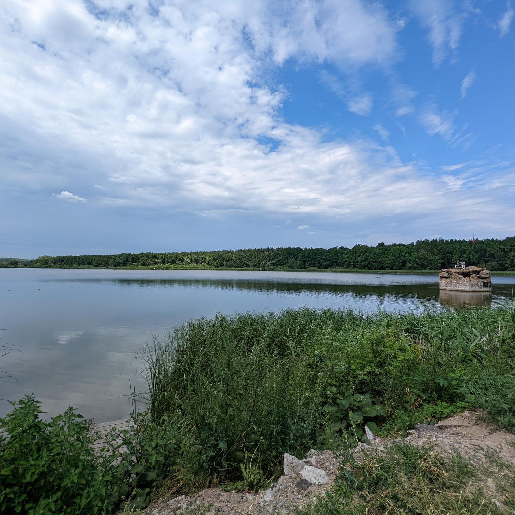
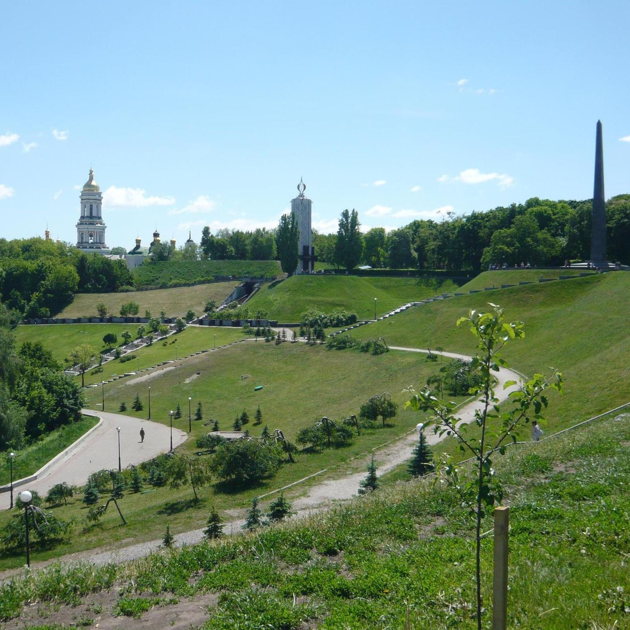
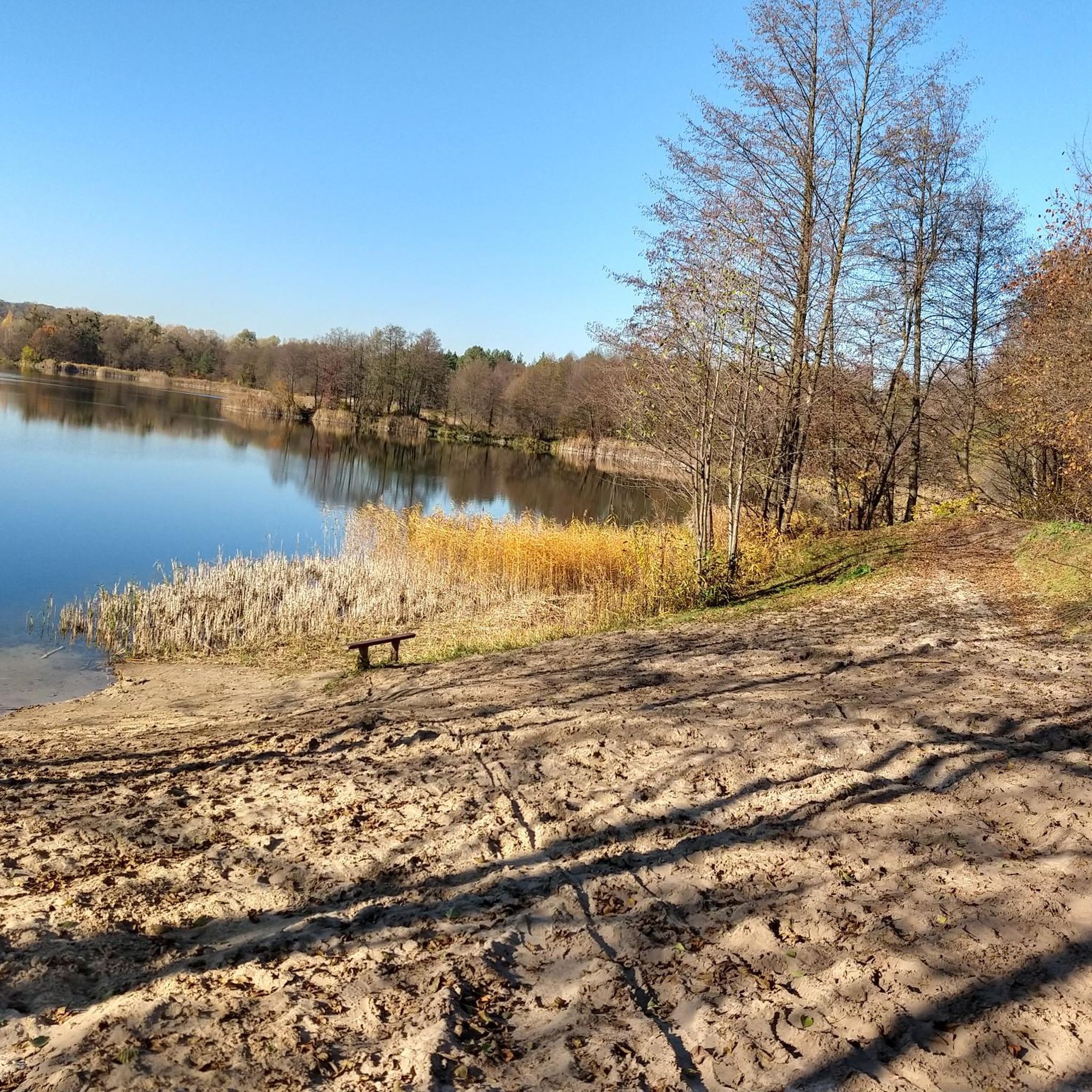
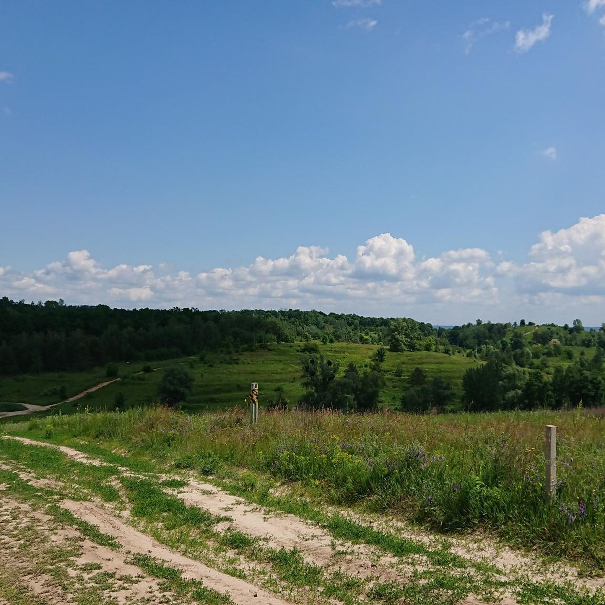
Hiking around Vidubicke lake offers a variety of routes in the Kyiv region. The area features a mix of urban and natural landscapes, with trails often following riverbanks and passing through green spaces. While specific geographical details for Vidubicke lake are not widely documented, the surrounding Kyiv area is characterized by relatively flat terrain with gentle elevation changes, suitable for accessible outdoor activities. The trails provide opportunities to explore the local environment and connect with nature within an urban periphery.
…Last updated: November 10, 2026
17
hikers
6.05km
01:39
90m
90m
Easy hike. Easily walkable paths.
11
hikers
Moderate hike. Good fitness required. Easily walkable paths.

51
hikers
7.49km
01:55
30m
30m
Easy hike. Easily walkable paths.
5.0
(1)
24
hikers
9.60km
02:36
130m
130m
Moderate hike. Good fitness required. Easily walkable paths.
3
hikers
10.5km
02:48
120m
120m
Moderate hike. Good fitness required. Easily walkable paths.
Get access to more routes and recommendations from other explorers.
Already have an account?
Our route recommendations are based on thousands of hikes, rides, and runs completed by other people on komoot.
Start today with a free account
Your next adventure awaits.
Tips from the Community

This is very important place for Ukrainians as during Maidan here was most active confrontations between people and prorussian government forces. Now you can find here near entrance to stadium memorial for Mykhailo Mykhailovych Zhyznevskyi who died one of first those days.
0
0

Dynamo Stadium Walery Łobanowskiego (Ukrainian: Стадіон «Динамо» ім. Валерія Лобановського) - a football stadium located in the Ukrainian city of Kyiv. Dynamo Kyiv team plays their home games at the stadium. The original capacity of the stadium was 30,000, however, after modernization, the capacity of the stadium is 16,873. Due to the stadium's low capacity, Dynamo Kyiv plays its cup matches at the much larger Olympic Stadium. At the beginning of the 20th century, on the territory of today's stadium there were greenhouses, which supplied vegetables and fruit to the tsarist residence - the Marysinka Palace. There was also a very popular among the inhabitants - "Szato de Fler". In 20-30 years, in their place, the Kiev provincial council of the society "Dynamo" built several fields: basketball, volleyball and handball, as well as a football field with a wooden changing room and a gymnasium. The stadium today was built in 1932-1934. During World War II, the stadium was heavily demolished, and missiles and mines were found on its territory for many years. The "Dynamo" team played matches in 1956 at the rebuilt stadium. https://pl.wikipedia.org/wiki/Stadion_Dynamo_im._Walerego_%C5%81obanowskiego_w_Kijowie https://www.youtube.com/watch?v=BEHgU5lYgSM
3
0
Independence Square (Ukrainian: Майдан Незалежності, trb. Maidan Nezalezhnosti) - the main square in the capital of Ukraine, Kiev, located in the Shevchenkiv region, a place of important state ceremonies and cultural events. The present appearance of the square is the result of a thorough reconstruction in 2002. The earlier socialist realist style, with a large number of fountains, was replaced with a more modern one. History: 1151 - the first mention of the Lacki Gate and Lacki Słoboda that exist in this place 1240 - The Mongols attack the Padole Gate as the first 1516 - King Zygmunt I privileges the largest Kiev fair, the so-called Krszczeński, lasting from January 6 for 20 days 1604 - the name Biskupie appears in the document of King Sigismund III around 1730 - the first wooden buildings appear, around 1850, made of brick until 1871 - there is a market on the then Chreszczatycki square, and games are held 1876 - the newly built building becomes the seat of the city council, the square is named "Dumski" 1913 - the monument to Piotr Stolypin was officially unveiled, demolished in 1917 1919 - the name was changed to Plac Radziecki 1922 - the statue of Karl Marx stands on the square, dismantled in the 1930s 1935 - the square is named after Kalinina 1977 - Kalinina Square was renamed the October Revolution Square after a major renovation 1977 - a monument to the October Revolution erected on the square, knocked down in 1991 1991 - the square receives its present name 2004-2005 - Independence Square becomes the scene of the Orange Revolution 2007 - demonstrations related to the political crisis 2013-2014 - protests against the failure to sign an association agreement with the European Union https://pl.wikipedia.org/wiki/Plac_Niepodleg%C5%82o%C5%9Bci_w_Kijowie https://www.youtube.com/watch?v=RxBtpXnsVJk
3
0

This is a place where history was made.
0
0

One of the most popular places for cyclists 🚴🏼♂️ https://vimeo.com/533471118
0
0

From here excursions across the Dnepr take place several times a day.
0
0
Multilingual presentation - also in English - of the orange revolution 2013/2014. Worth seeing!!!
1
0
The events of the Orange Revolution 2013/14 are presented in a remarkable exhibition in various languages.
0
0
Frequently Asked Questions
How many hiking trails are available around Vidubicke lake?
There are over 140 hiking routes in the Vidubicke lake area. These trails offer a diverse range of experiences, from easy strolls to more challenging excursions, catering to various fitness levels.
Are there easy hiking trails suitable for beginners or families?
Yes, the Vidubicke lake area is well-suited for beginners and families, with 91 easy routes available. A great option is the Hiking loop from Zvirynets, an easy 3.8-mile trail that takes about 1 hour 39 minutes to complete, offering a pleasant walk through local green areas.
What is the typical length and duration of hikes in this region?
Hikes around Vidubicke lake vary in length and duration. You can find shorter loops like the Hiking loop from Zvirynets at 3.8 miles (1 hour 39 minutes), or longer moderate routes such as the Kyiv River Port loop, which is 6.1 miles and typically takes around 2 hours 30 minutes.
Are there circular walking routes around Vidubicke lake?
Yes, many of the trails in the Vidubicke lake area are designed as loops, allowing you to start and end at the same point. For example, the Русанівська коса loop from Rusanivka is a popular 4.7-mile circular trail leading through the Rusanivska Spit.
Are dogs allowed on the hiking trails?
Generally, dogs are welcome on trails in the green spaces and riverbanks around Vidubicke lake, especially if kept on a leash. It's always a good idea to check local signage for any specific restrictions in certain park areas or nature reserves.
What kind of landscapes can I expect to see while hiking?
The hiking trails around Vidubicke lake offer a mix of urban and natural landscapes. You'll often find paths following riverbanks, passing through green spaces, and providing views of the city's waterfront and historical sites along the Dnieper River. The terrain is generally relatively flat with gentle elevation changes.
What do other hikers enjoy most about hiking in Vidubicke lake?
The area is highly rated by the komoot community, with an average score of 4.8 stars from over 10 reviews. Hikers often praise the accessible loops, the blend of urban and natural scenery, and the opportunities to explore riverine paths and green spaces within the Kyiv region.
Is public transport available to reach the trailheads?
Given its location within the Kyiv region, many trailheads around Vidubicke lake are accessible via public transport. Kyiv has an extensive public transportation network, including metro, tram, and bus services, which can often get you close to various starting points. We recommend checking local transport maps for specific routes.
Are there good viewpoints or scenic spots along the trails?
Yes, trails that follow the Dnieper River, such as the Kyiv River Port loop, offer scenic views of the city's waterfront and historical sites. The Rusanivska Spit also provides pleasant river views and open spaces.
What is the best time of year to hike around Vidubicke lake?
The best time to hike around Vidubicke lake is typically during spring, summer, and early autumn when the weather is mild and the green spaces are in full bloom. These seasons offer comfortable temperatures for exploring the riverbanks and urban parks.
Are there any moderate hiking options for more experienced hikers?
Yes, for those seeking a bit more challenge, there are 50 moderate routes available. A good example is the Besarabsky Market – Mariinsky Park loop from Звіринецька, a 6.6-mile trail with some elevation gain, offering a more extended exploration of the area.
Most popular routes around Vidubicke lake

Get inspired with the komoot mobile app


Explore more
Browse the best Hikes in other regions.
