The best road cycling routes around Lac De La Galaube Ou De L'Alzeau
4.3
(24)
360
riders
21
rides
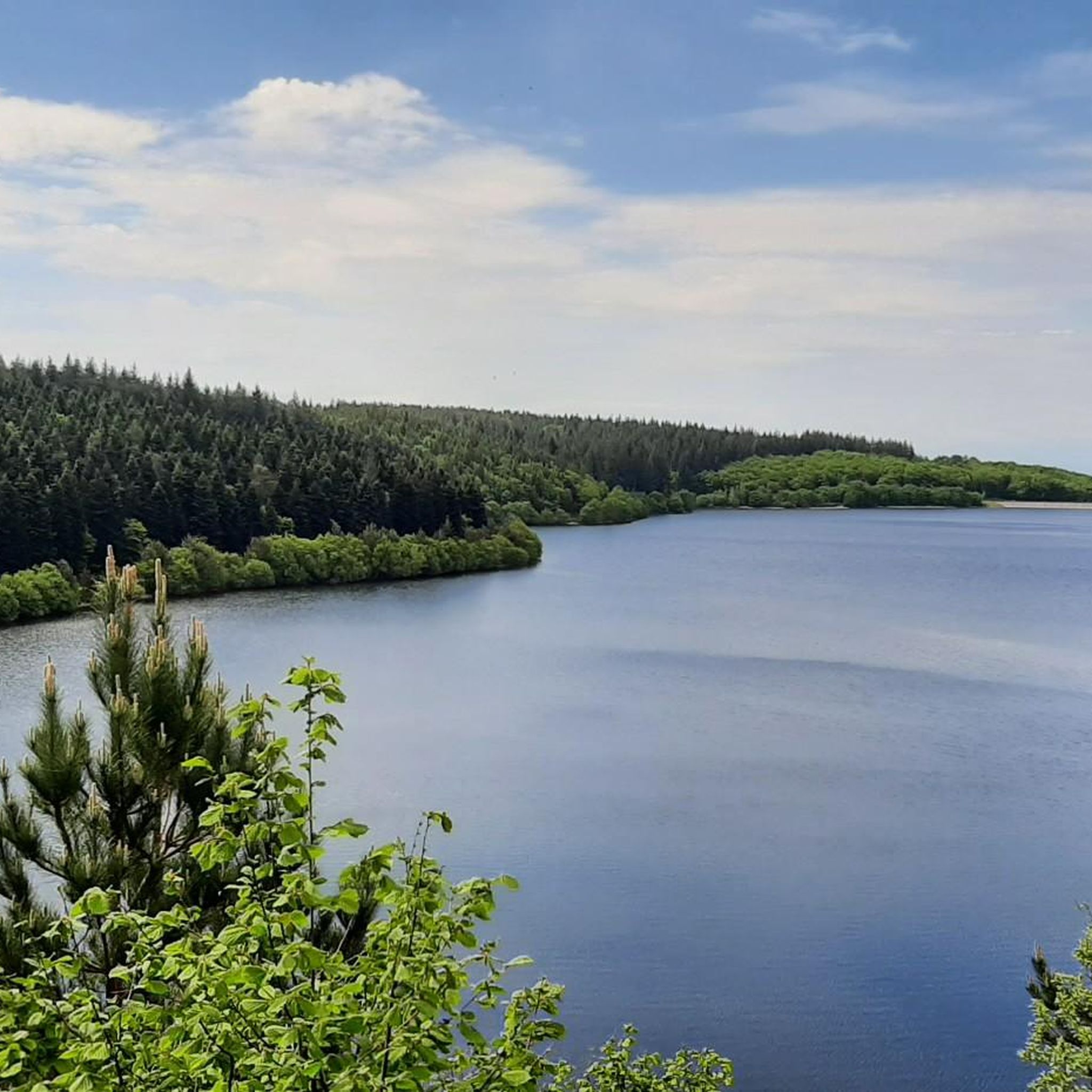
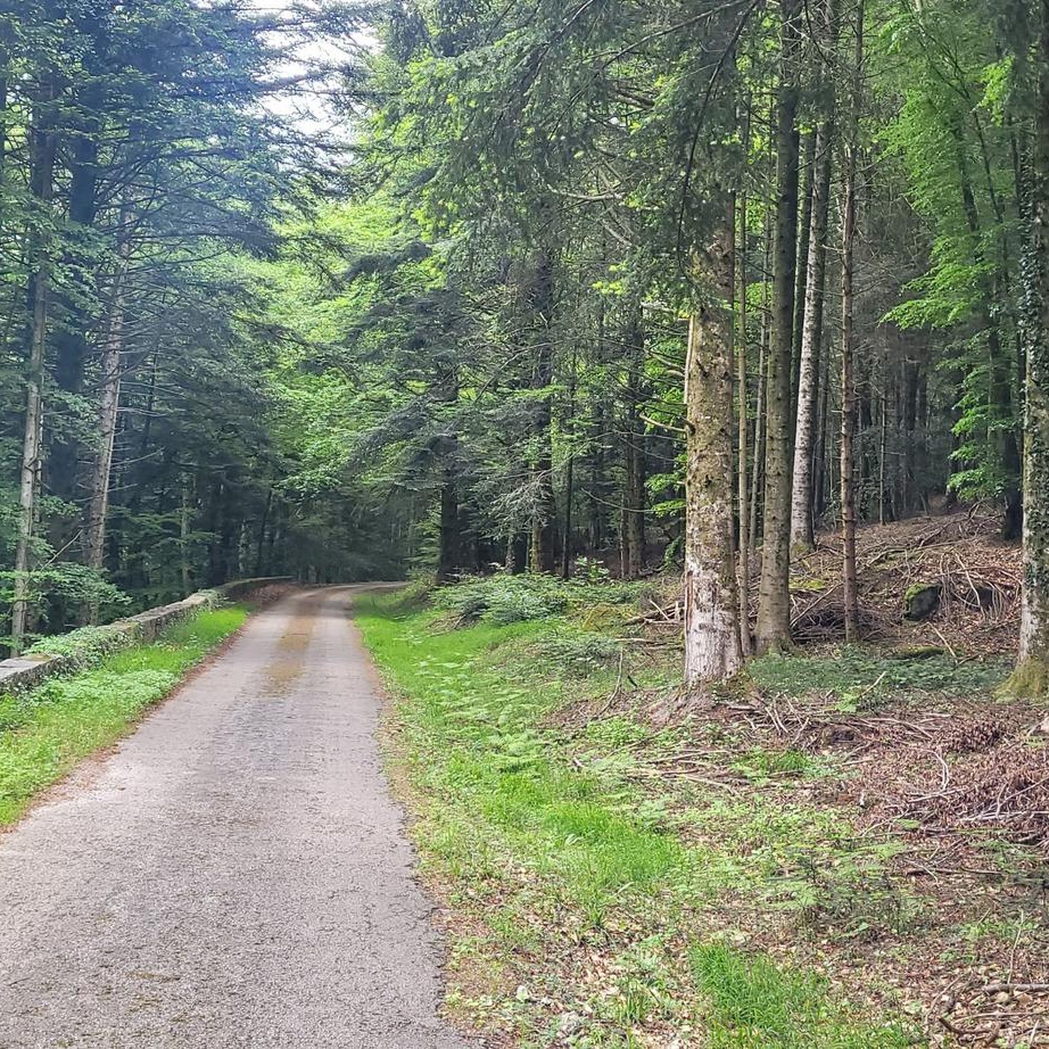
Road cycling routes around Lac De La Galaube Ou De L'Alzeau traverse the Montagne Noire region, offering varied terrain for cyclists. The area features a blend of untamed nature, including dense forests of beech and oak, and historical waterways like the Rigole de la Montagne. Cyclists encounter diverse landscapes, from the 723-meter altitude of Lac de la Galaube to the surrounding hills and valleys, providing a range of elevation profiles. The region's infrastructure supports road cycling with primarily paved surfaces,…
Last updated: October 8, 2026
5.0
(1)
126
riders
85.7km
04:29
1,540m
1,540m
Hard road ride. Very good fitness required. Mostly well-paved surfaces and easy to ride.
5.0
(4)
42
riders
38.2km
02:00
640m
640m
Moderate road ride. Good fitness required. Some segments of this route may be unpaved and difficult to ride.

9
riders
Moderate road ride. Good fitness required. Mostly well-paved surfaces and easy to ride.
3.0
(5)
6
riders
63.3km
03:13
1,050m
1,050m
Hard road ride. Very good fitness required. Some segments of this route may be unpaved and difficult to ride.
4
riders
Hard road ride. Very good fitness required. Some segments of this route may be unpaved and difficult to ride.
Get access to more routes and recommendations from other explorers.
Already have an account?
Our route recommendations are based on thousands of hikes, rides, and runs completed by other people on komoot.
Start today with a free account
Your next adventure awaits.
Popular around Lac De La Galaube Ou De L'Alzeau


Tips from the Community

beautiful access to a picturesque town
0
0

very pretty viewpoint, a real balcony overlooking the Pyrenees with the beautiful Cathar castle
0
0
Church of the village of Montolieu, book village
0
0

Very beautiful pass, not very difficult but very shaded for the great summer heat.
1
0

Tough, hard pass that hurts the legs.
0
0

Picturesque village, village of art and culture, village of books. Don't miss following the Chemin de Saint-Roch for its capitelles (dry stone shelters), its panoramas, the remarkable cypresses of the Chapelle Saint-Roch.
0
0

Regular climb of 12 km, ideal for a smooth effort. No big percentages. Very pleasant on sunny days because it is shaded.
1
0
Frequently Asked Questions
How many road cycling routes are available around Lac De La Galaube Ou De L'Alzeau?
There are over 20 road cycling routes available in the Lac De La Galaube Ou De L'Alzeau region. These routes offer a mix of moderate and difficult options, catering to various fitness levels.
What kind of terrain can I expect on road cycling routes in the Montagne Noire region?
The Montagne Noire region, where Lac De La Galaube Ou De L'Alzeau is situated, offers varied terrain for road cyclists. You'll encounter a blend of untamed nature, including dense forests of beech and oak, and historical waterways. Routes feature diverse landscapes, from the 723-meter altitude of Lac de la Galaube to surrounding hills and valleys, providing a range of elevation profiles. Surfaces are primarily paved, connecting natural features with historical sites.
Are there challenging road cycling routes with significant elevation gain?
Yes, the region offers challenging routes with significant elevation. For instance, the Fontbruno Pass (880 m) – Roquefère Castle loop from Fontiers-Cabardès is a difficult 85.5 km path with over 1500 meters of elevation gain, passing through Fontbruno Pass and near Roquefère Castle.
What historical landmarks or natural features can I see along the road cycling routes?
Road cycling routes in the area often pass by significant historical and natural features. You can explore the Lac de la Galaube itself, nestled within the Montagne Noire. Many routes also follow historical waterways like the Rigole de la Montagne, which feeds the Canal du Midi, and pass by the Alzeau Intake, a historical site linked to the canal's construction. The region is also rich in ancient forests of beech and oak.
Are there any moderate-difficulty road cycling routes suitable for a less strenuous ride?
Yes, there are several moderate routes. The La Tourette Cabardes – Saint Peter's Church of Vals loop from Communauté de communes de la Montagne Noire is a moderate 49.4 km route with around 900 meters of elevation gain, offering a balanced ride through the local landscape.
What do other road cyclists say about the routes in Lac De La Galaube Ou De L'Alzeau?
The road cycling routes around Lac De La Galaube Ou De L'Alzeau are highly rated by the komoot community, with an average score of 4.6 stars from over 10 reviews. Cyclists often praise the varied terrain, the blend of untamed nature with historical sites, and the well-maintained paved surfaces.
Are there any circular road cycling routes in the area?
Yes, many routes in the region are circular, allowing you to start and end at the same point. For example, the Rue Étroite de Cuxac-Cabardès loop from Lacombe is a popular moderate 20 km circular journey through the local landscape.
What is the best season for road cycling around Lac De La Galaube Ou De L'Alzeau?
The Montagne Noire region generally offers pleasant conditions for road cycling from spring through autumn. Spring brings lush greenery, while autumn showcases vibrant foliage. Summer can be warm, but the forested sections provide shade. Always check local weather forecasts before heading out.
Are there routes that pass through local villages or countryside?
Many routes wind through charming local villages and the surrounding countryside. The Caudebronde – Rue Étroite de Cuxac-Cabardès loop from Saint-Denis is a 36.4 km trail that leads through local villages and rural landscapes, offering a glimpse into the regional character.
Can I find routes with panoramic views?
Yes, the varied topography of the Montagne Noire means many routes offer scenic viewpoints. The Panoramic view of Saissac – Stone Bridge in Montolieu loop from Cuxac-Cabardès is a difficult 56 km route designed to showcase expansive vistas, including a panoramic view of Saissac.
Is there parking available for road cyclists near the routes?
While specific parking areas are not detailed for every route, starting points for many tours are often located in or near villages like Lacombe, Fontiers-Cabardès, Saint-Denis, or Cuxac-Cabardès, where public parking options are typically available. It's advisable to check the specific tour details on komoot for recommended starting points and potential parking information.
Most popular routes around Lac De La Galaube Ou De L'Alzeau

Get inspired with the komoot mobile app


Explore more
Browse the best Road cycling routes in other regions.
