The best running trails around Altena
4.4
(40)
2,631
runners
228
runs
Jogging around Altena offers diverse landscapes within the Sauerland region of Germany. The area is characterized by extensive woodlands, with over 60% forest cover, and varied terrain ranging from tranquil paths along the Lenne river to challenging, hilly forested areas. Many running routes provide picturesque views within the Lenne river valley and ascend to higher elevations, some reaching 400 to 800 meters above sea level. This network of trails is well-suited for runners seeking both riverside paths and forest tracks.
…Last updated: May 27, 2026
4.5
(2)
12
runners
4.18km
00:29
0m
0m
Jog the Jantjesplaat Trail, an easy 2.6-mile (4.2 km) route in De Biesbosch, offering views of water-rich areas and willow forests.
4
runners
12.9km
01:28
10m
10m
Jog the Oostwaardpad (shortened) in De Biesbosch National Park, a moderate 8.0-mile route through diverse terrain and tidal forests.

Sign up for free
48
runners
Hard run. Very good fitness required. Mostly paved surfaces. Suitable for all skill levels.
48
runners
Hard run. Very good fitness required. Mostly paved surfaces. Suitable for all skill levels.
5.0
(1)
47
runners
9.62km
00:59
10m
10m
Moderate run. Good fitness required. Mostly paved surfaces. Suitable for all skill levels.
Get access to more routes and recommendations from other explorers.
Sign up for free
Already have an account?
Our route recommendations are based on thousands of hikes, rides, and runs completed by other people on komoot.
Start today with a free account
Your next adventure awaits.
Login or Signup
Popular around Altena
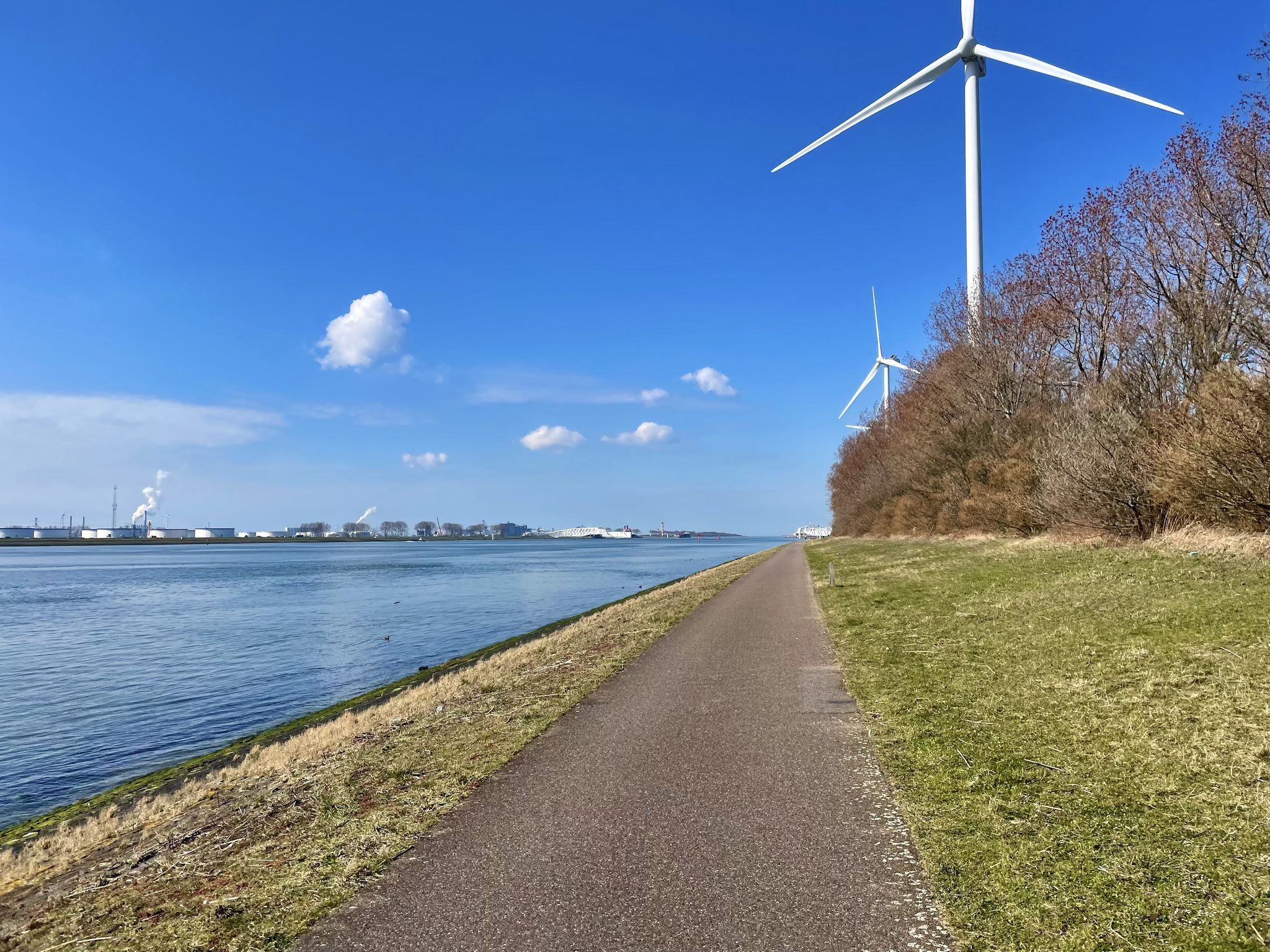
The Meuse Cycle Route - Follow the Meuse from the hills to the harbor
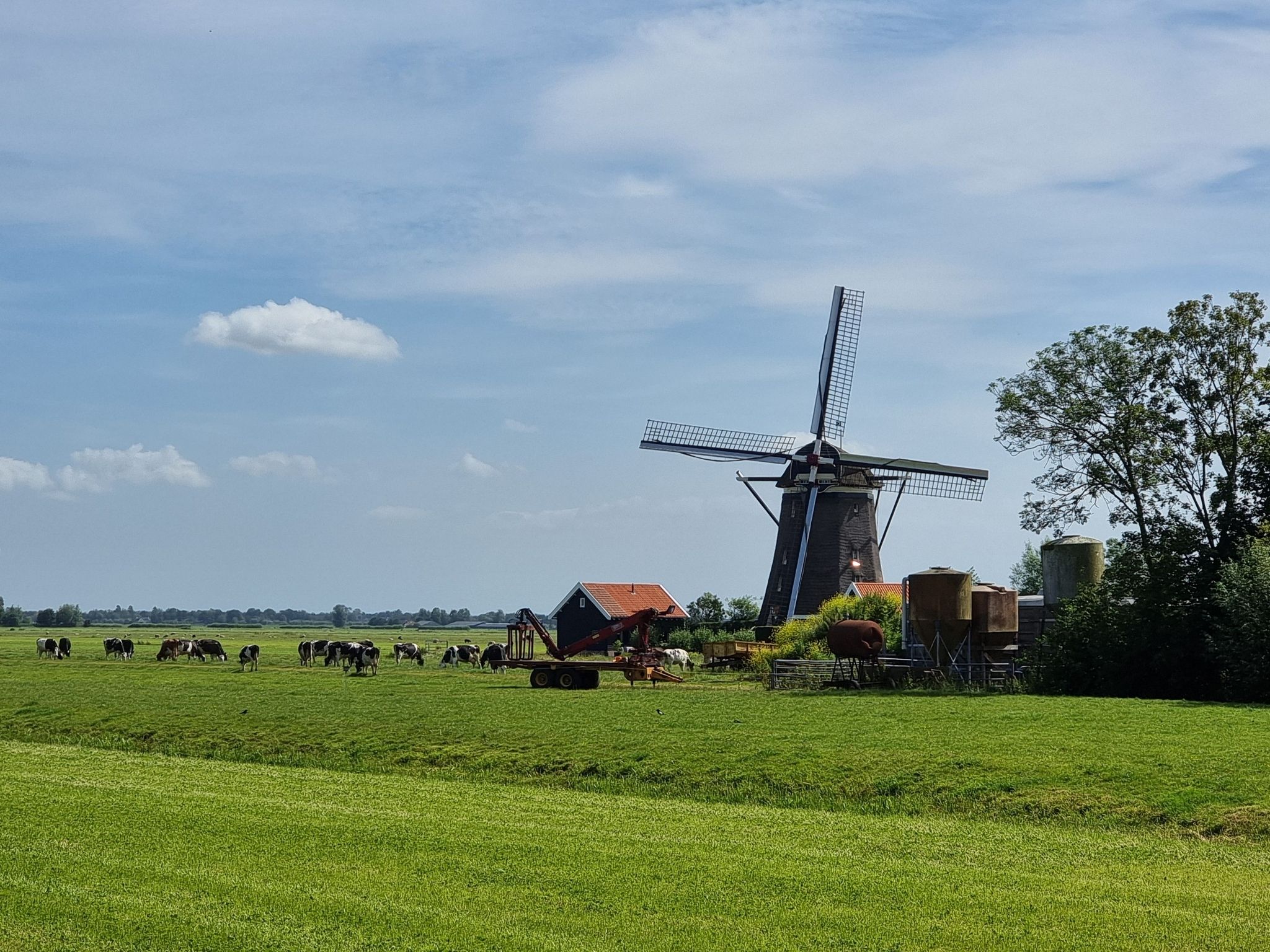
Pilgrim Trail (LAW 7-1) - Through idyllic villages and vast polders
The Meuse Cycle Route - Follow the Meuse from the hills to the harbor
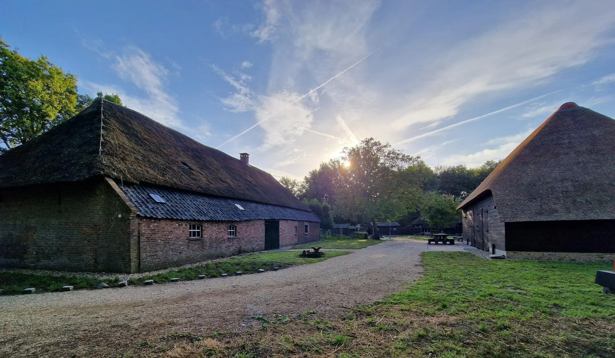
Four versatile Brabant – Nature camping route Noord-Brabant
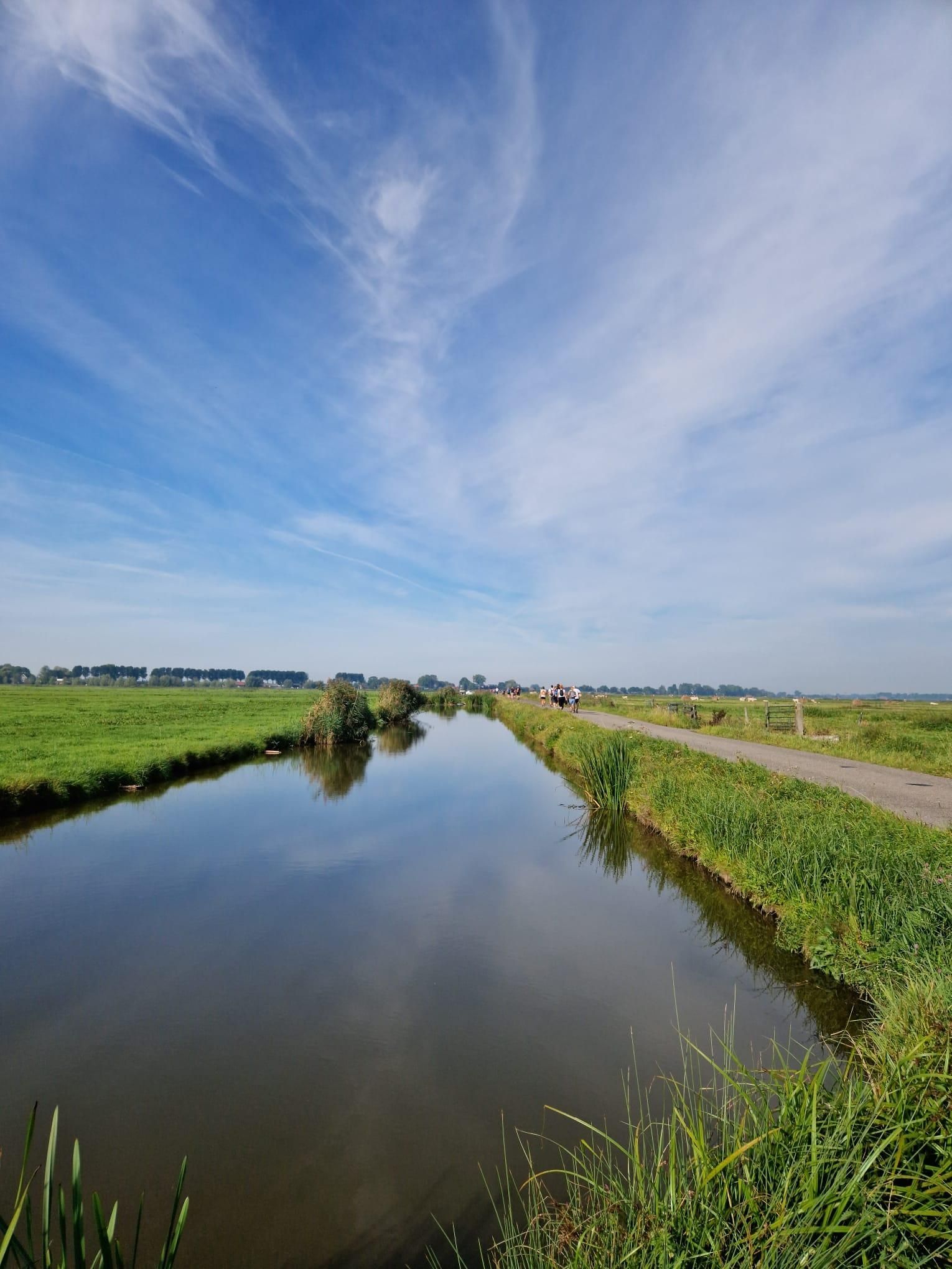
Below the waterline of the Sint-Elisabethsvloed – Biesboschpad
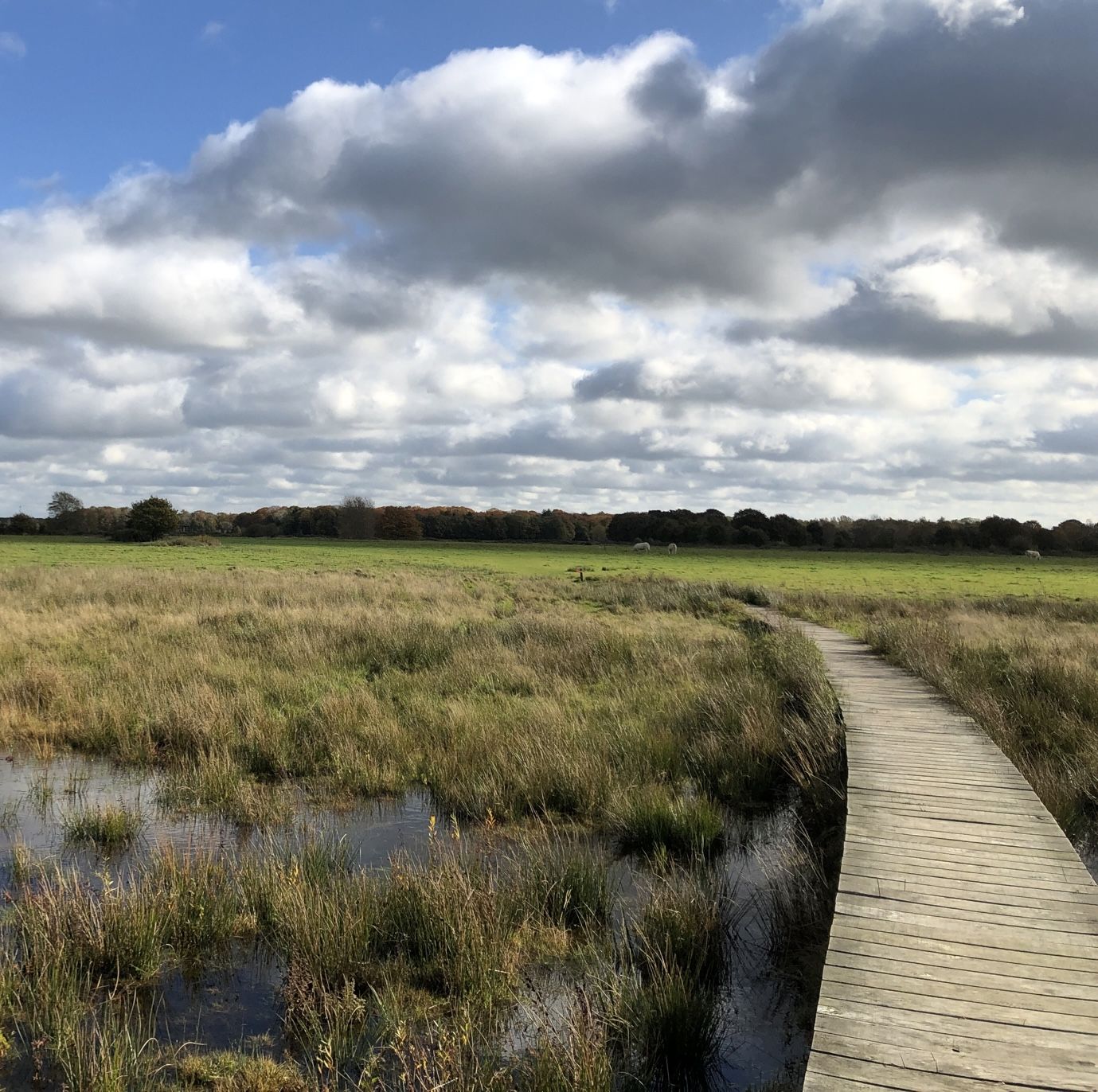
Bourgondisch Brabant - 20 tasty nature walks
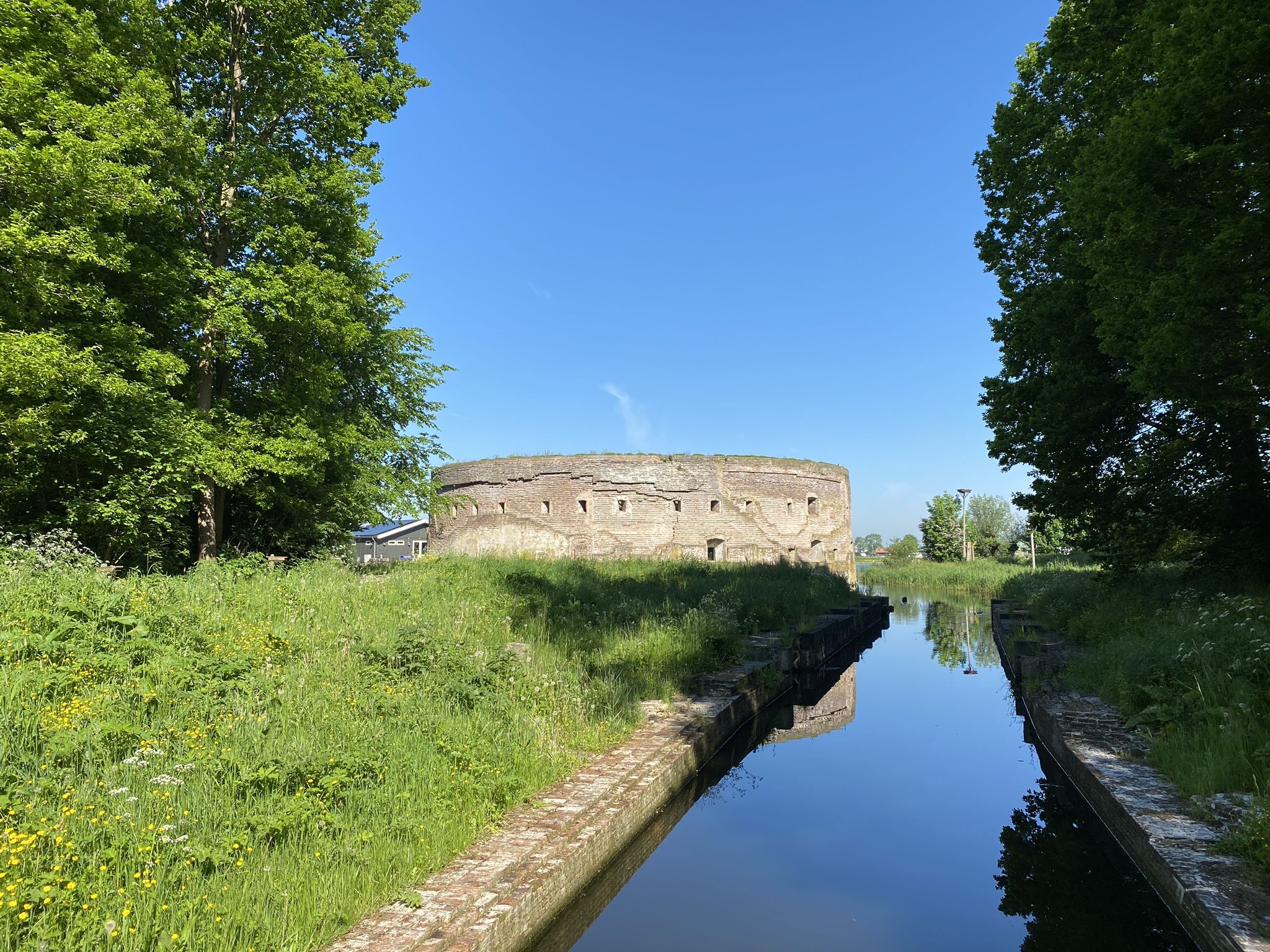
History and Nature – walking the Waterliniepad
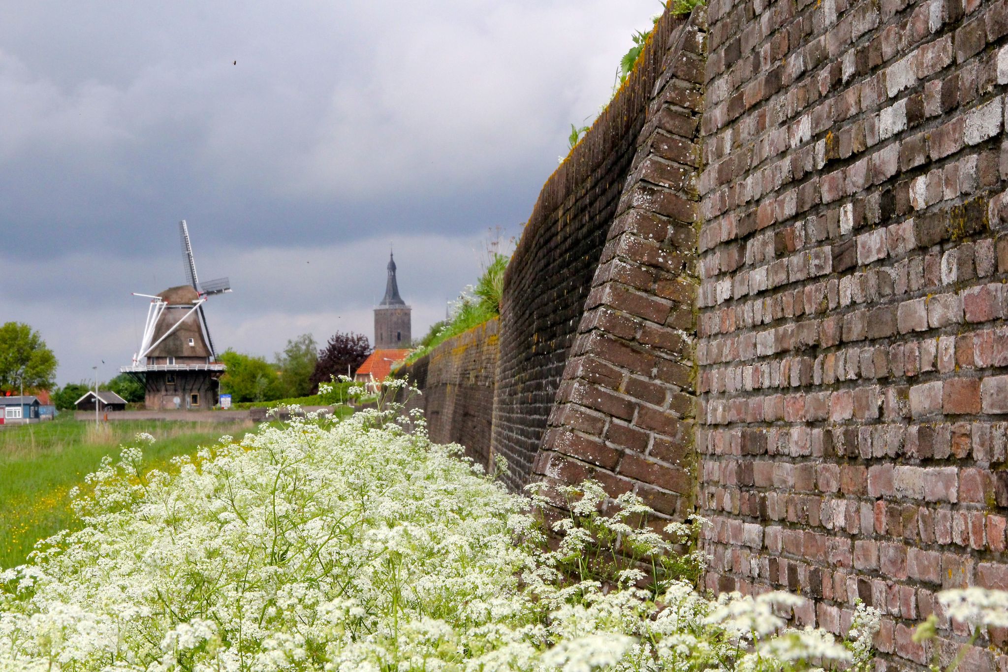
Cycle through water-rich Holland along the sea – LF9 NAP Route
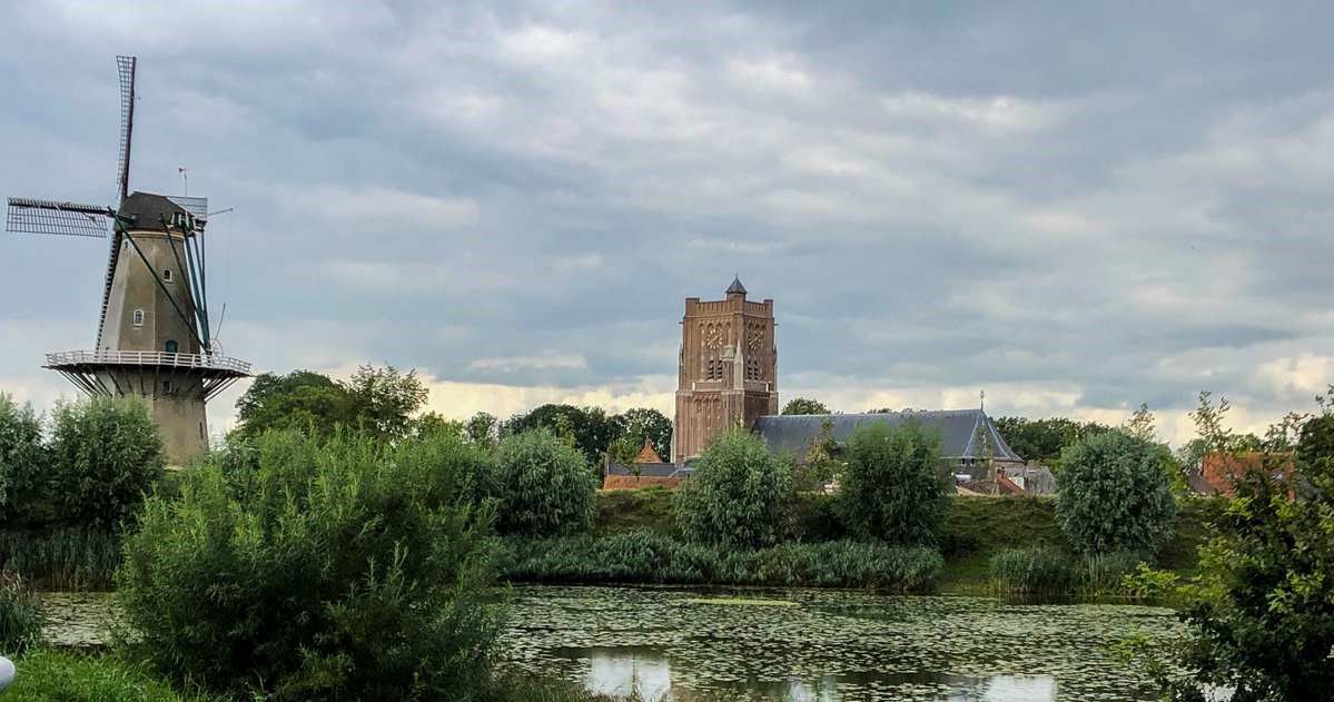
Amsterdam to 's-Hertogenbosch – Pilgrims’ Path part 1
A complete hiking bucket list through every Dutch National Park
Other adventures around Altena


Tips from the Community

And then there are the butterflies, of course...
8
0
Hiking among water birds and stunning water views...
6
0

A highly recommended stopover on the Waterliniepad
0
0

The 34-metre-high Martinustoren was built in the first half of the 15th century. The top two sections date from 1530. The tower is nicknamed 'De Mosterdpot' (The Mostard Pot). There used to be a small mustard factory in the fortress. Seeds that had blown up took root on top of the tower, giving it its name.
4
0
The Johannes Nepomukkerk is the Catholic church of the parish core of Woudrichem within the Sint Elisabethparochie. The church is located in the Woudrichem fortress on the Vissersdijk. The church was built after a small group of Woudrichem Catholics had asked King Willem I for permission to establish a church and to give the appointed pastor an annual salary. On 1 June 1836, King Willem I gave a favourable decision. In the municipal council meeting of 29 June 1836, the mayor announced the establishment of the parish. In 1837, the parish had raised enough money to start construction. After the Woudrichem Catholics had used an emergency church until 1838, the Waterstaat church in neoclassical style was completed in 1838, designed by J. de Kroon. The first stone was laid on 20 March 1838 by J.P. Wilmer, the secretary of the vicariate. Characteristic is the arched niche above the entrance, with Doric columns and the statue of Johannes Nepomucenus. The hall church has an octagonal bell tower on the roof with a dome covered in zinc. Source Wikipedia
4
0
The church tower of the St. Martin's Church in Woudrichem can be seen from afar. For those who want to visit Woudrichem, it is a landmark where the fortified town can be found. The history of this church is a piece of the history of this old town. At the end of the 7th century, a chapel was founded on the site where the choir of the church now stands, by an employee and traveling companion of Bishop Willibrord. Later, in the 15th century, the church space was only built onto this chapel. Triggered to the past? Click through to https://www.kerkwoudrichem.nl/onze-kerk/geschiedenis/
6
0
Fortified town Woudrichem, or Woerkum, as the residents call it, is the only town of the Biesboschlinie. In the 9th century, a market place was created on a riverbank. Today, this is where the Hoogstraat and the Molenstraat intersect. This place is still the heart of the fortified town. Historical context: History Woudrichem is strategically located at the confluence of the Maas and Waal, at the intersection of 3 provinces. The Land van Altena, to which Woudrichem belongs, belonged to the County of Holland from 1322. It was not until 1815 that it was incorporated into the new province of North Brabant. Woudrichem was granted city rights in 1356. In that year, the count's river toll from Niemandsvriend van Sliedrecht was also moved to Woudrichem. A few years later, the town also received fishing rights and flourished. The Martinuskerk and city walls date from this period. In 1420, the toll was moved to Gorinchem. This event, the St. Elizabeth's flood of 1421 and the many military conflicts in which the town was involved due to its location, caused the decline of the town. The many sieges have left their mark on Woerkum. In 1573, the Geuzen set fire to the town. They considered it indefensible. A new city wall was then built, which protected a smaller area than the old city wall had done. This city wall is the fortress wall that still encloses the center. In 1814, Woudrichem became part of the New Dutch Waterline. From that time on, no more building was allowed in the surrounding land. It was not until 1955 that the fortress was closed and new residential areas were built around the town. The historic city center is a protected cityscape. Source: https://biesboschlinie.com/zien-doen/bezichten/woudrichem/
5
0
Old signpost shows you the way in the present.
5
0
Frequently Asked Questions
How many running routes are available around Altena?
Altena offers a wide selection of running routes, with over 200 trails documented on komoot. These routes cater to various preferences, from tranquil riverside paths to challenging forest tracks in the hilly Sauerland region.
Are there easy jogging routes suitable for beginners or a relaxed run?
Yes, Altena has several easy jogging routes. For a gentle run, consider the Jantjesplaat Trail, which is 2.6 miles (4.2 km) with minimal elevation gain, perfect for a quick and easy outing. The region's river valley paths also offer accessible options.
What kind of terrain can I expect on running trails in Altena?
Jogging routes in Altena feature diverse terrain. You'll find tranquil paths along the Lenne river, extensive forest tracks through 60% woodland cover, and more challenging hilly areas characteristic of the Sauerland region. This variety ensures options for all preferences, from flat stretches to significant elevation gains.
Are there any long-distance running options for experienced runners?
Absolutely. For those seeking a longer challenge, the De Biesbosch National Park – Footbridge in De Biesbosch loop from Kop van 't Land is a difficult 16.9 miles (27.1 km) route. The area also connects to parts of the Sauerland-Höhenflug long-distance hiking trail, which can be adapted for extended runs.
Can I find running routes with scenic viewpoints in Altena?
Yes, many routes in Altena offer magnificent views. The higher altitudes of the Sauerland-Höhenflug trail provide panoramic vistas, and the Kohlberg features a lookout tower with expansive views. Jogging paths around Altena Castle also offer stunning perspectives over the Lenne valley and the town.
Are there family-friendly jogging trails in Altena?
While specific family-friendly jogging routes are not highlighted in the data, the region's 'easy hikes' with accessible paths, such as loops around the Fuelbecke Reservoir or the Altena Castle Courtyard, can be suitable for families. The 'Fairy Tale Trail' also offers a whimsical option for a lighter run.
What historical or cultural landmarks can I see while jogging in Altena?
Altena integrates history into its outdoor routes. The most prominent landmark is Altena Castle, a 12th-century fortress. You can also explore parts of the 'Historic Wire Trade Route' (Drahthandelsweg) or encounter historical buildings along the Lenne river. Nearby attractions include Loevenstein Castle and Fort Vuren.
What do other runners say about jogging in Altena?
The running routes in Altena are highly regarded by the komoot community, holding an average rating of 4.4 out of 5 stars from over 40 reviews. More than 2,000 runners have explored the area, often praising the diverse landscapes, from tranquil river paths to challenging forest trails, and the opportunity to combine physical activity with historical exploration.
Are there any circular running routes in Altena?
Yes, Altena offers numerous circular routes that are ideal for jogging. These loops allow you to start and finish at the same point, making planning easier. Examples include the View of De Biesbosch Wetlands loop from Woudrichem, a moderate 6.0 miles (9.6 km) trail, and the Oostwaard Trail, an 8.0 miles (12.9 km) moderate path.
Can I bring my dog on the running trails in Altena?
While specific dog-friendly route details are not provided, the extensive woodlands and natural parks like Naturpark Homert generally offer ample space for dogs. It's always advisable to check local regulations for specific trails or protected areas regarding leash requirements or restricted access.
What are some natural features to look out for on a run in Altena?
Altena's natural environment is rich and varied. You can enjoy the refreshing Lenne river valley, explore the vast woodlands covering 60% of the area, and experience the higher altitudes of the Sauerland. Notable natural highlights include the Kohlberg with its lookout tower, and intriguing geological formations like the Felsenmeer in nearby Hemer.
Are there challenging running routes for advanced athletes?
Indeed. For advanced runners seeking a challenge, Altena offers 'difficult' routes with significant elevation gains. The Oudendijksche Gat – Benedendamse Maas loop from Werkendam is a demanding 12.7 miles (20.5 km) trail that will test your endurance. The hilly forested areas of the Sauerland also provide plenty of opportunities for strenuous runs.
Most popular attractions around Altena

Get inspired with the komoot mobile app


Explore more
Browse the best Running Trails & Routes in other regions.
